The best running trails around Lillianes
4.2
(79)
3,642
runners
194
runs
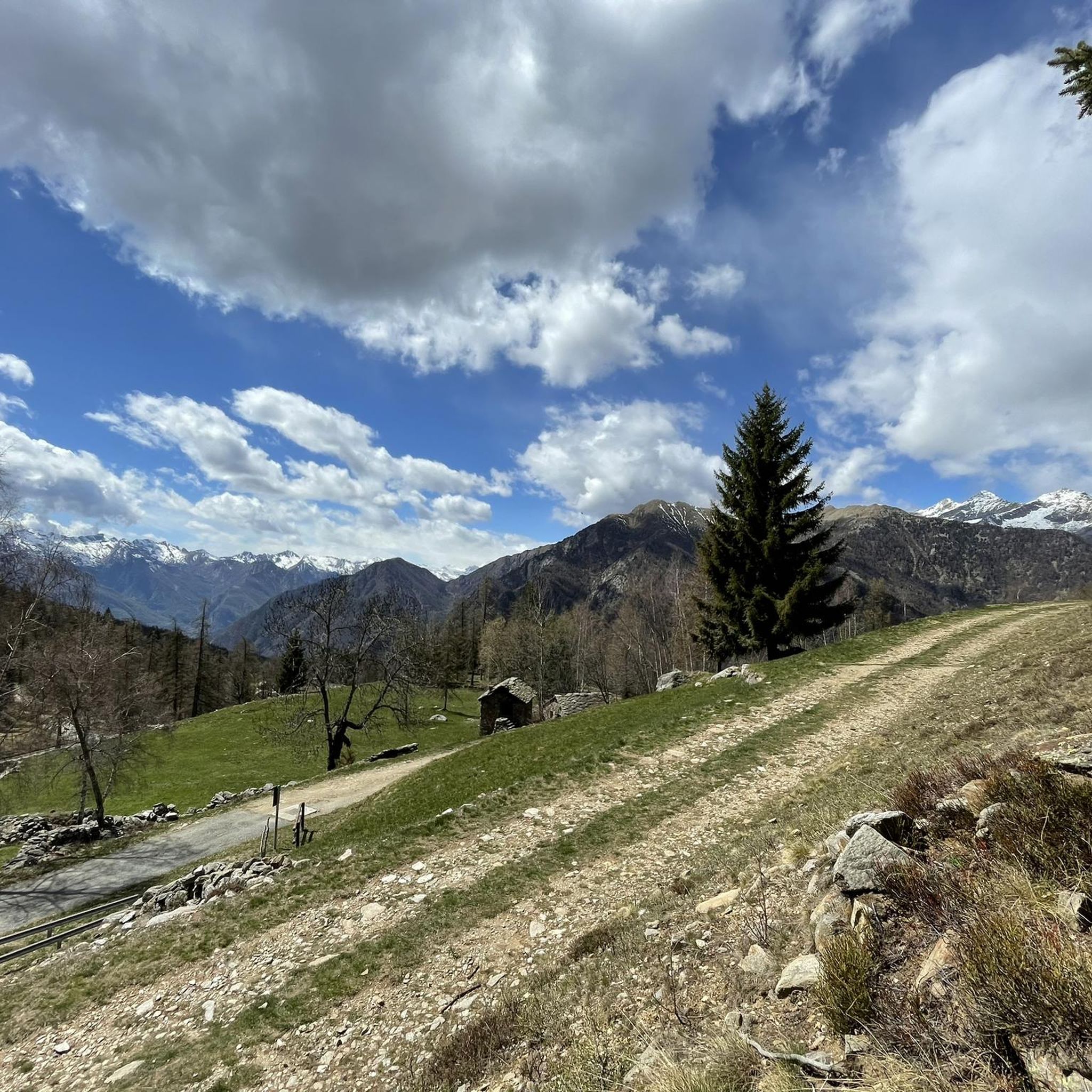
Jogging routes around Lillianes traverse the lower Lys Valley, offering paths alongside the Lys River and through scenic mountain settings. The region is characterized by its Alpine landscape, featuring diverse trails that range from valley floors to more challenging high-altitude routes. Joggers can explore forest trails, old mule tracks, and areas with traditional Alpine architecture and chestnut groves.
Best jogging routes around Lillianes
- The most popular jogging route is Running loop from Carema, a 4.4 miles (7.1 km) trail…
Last updated: August 14, 2026
19
runners
12.3km
02:39
1,250m
1,250m
Hard run. Very good fitness required. Sure-footedness, sturdy shoes and alpine experience required.
16
runners
22.2km
04:37
1,770m
1,770m
Hard run. Very good fitness required. Sure-footedness, sturdy shoes and alpine experience required.

Sign up for free
14
runners
9.30km
01:40
650m
660m
Hard run. Very good fitness required. Sure-footedness, sturdy shoes and alpine experience required.
11
runners
9.12km
02:07
800m
800m
Hard run. Very good fitness required. Sure-footedness, sturdy shoes and alpine experience required.
18
runners
7.15km
00:46
80m
80m
Moderate run. Good fitness required. Mostly paved surfaces. Suitable for all skill levels.
Get access to more routes and recommendations from other explorers.
Sign up for free
Already have an account?
Our route recommendations are based on thousands of hikes, rides, and runs completed by other people on komoot.
Start today with a free account
Your next adventure awaits.
Login or Signup
Popular around Lillianes

Alta Via n. 1 of the Aosta Valley — a walk among Italian giants
Three days on the Cammino Balteo – The historic Aosta Valley

Cammino Balteo – castles, vineyards and trails of the Aosta Valley

Paths, castles and views of Italy’s Aosta Valley – Cammino Balteo

A walk among Italian giants — Aosta Valley High Route 1
Hiking around Lillianes
Road Cycling Routes around Lillianes
MTB Trails around Lillianes
Cycling around Lillianes

Gravel biking around Lillianes
Other adventures around Lillianes


Tips from the Community

Panoramic viewpoint between the heroic vineyards of Donnas and Pont Saint Martin
0
0

Coda refuge from Oropa, good training and suitable footwear required.
0
0
A charming location between the Biella area and the Aosta Valley, with a warm welcome from the manager.
0
0


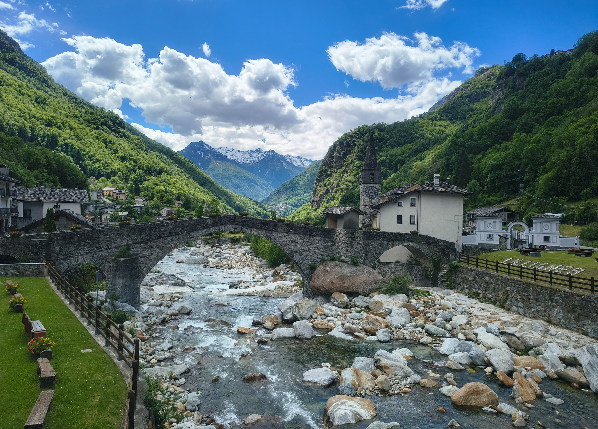
A very special Roman bridge with a beautiful view.
0
0

The path that climbs between the villages from Lillianes to La Sassaz allows you to gain altitude quickly. It must be tackled by taking your time, at your own pace.
0
0
This path in the woods between Chicalet and Le Mont du Suc allows you to walk under cover thanks to the branches of the trees and admire a unique panorama of the Lys valley.
0
0

It is an imposing testament to the Romanization of the Aosta Valley. Its dating is uncertain: for some it would have been built around 120 BC, for others in 25 BC. The bridge Anchored to the living rock on both sides, it is 25 meters high and its single arch is 35 meters wide. At the base, carved into the living rock, the housings for the wooden scaffolding that formed the necessary framework for the construction of the stone arch are visible. At the end of the 19th century, some iron keys were placed to consolidate the structure. At the beginning of the 19th century, another wooden bridge was built a little further downstream, which was then replaced in 1876 by the current masonry structure. The legend Popular imagination has attributed the construction of the bridge to the devil. Legend has it that Saint Martin, Bishop of Tours, returning from Italy to his diocese, found himself blocked by the Lys river, which had swept away the only footbridge with its flood. The devil offered to solve the problem by building a solid bridge in a single night, but demanded in return the soul of the first one who would cross the bridge. The saint accepted, but the next morning, by throwing a piece of bread to the other end of the bridge, he ensured that the first to cross it was a hungry little dog. The devil, furious, disappeared into the Lys amidst flashes of lightning and puffs of sulfur, and the bridge remained for the population. The legend is still one of the fundamental themes of the Pont-Saint-Martin carnival, which concludes with the burning of the devil under the Roman bridge.
0
0
Frequently Asked Questions
How many running routes are available around Lillianes?
Lillianes offers a wide selection of over 140 running routes, catering to various preferences and fitness levels. These trails traverse the scenic Lys Valley and surrounding Alpine landscape.
What kind of terrain can I expect on the running trails in Lillianes?
The terrain around Lillianes is quite varied, ranging from accessible paths along the Lys River to more challenging high-altitude routes in the surrounding Alps. You'll find forest trails, old mule tracks, and paths through traditional Alpine villages and chestnut groves.
Are there any easy jogging routes suitable for beginners in Lillianes?
Yes, while many routes are challenging, there are 8 easy jogging routes available. These typically follow valley floors or riverside paths, offering a gentler experience with minimal elevation gain.
What are some scenic landmarks or natural features I can see while running in Lillianes?
Jogging in Lillianes offers stunning views of the Italian Alps and the Lys Valley. You might encounter traditional Alpine architecture, historic chapels, and picturesque chestnut groves. For a magical spot, consider visiting the Bouro stream waterfall, known for its clear waters. Other notable attractions in the wider area include the Fort Bard and the Roman Arch and Road in Donnas.
Are there any circular running routes in the Lillianes area?
Yes, many of the running routes around Lillianes are circular, allowing you to start and finish at the same point. An example is the Running loop from Carema, which is a popular 4.4-mile trail offering views of the Alpine foothills.
What do other runners enjoy most about jogging in Lillianes?
The running routes in Lillianes are highly rated by the komoot community, with an average score of 4.3 stars from over 40 reviews. Runners often praise the scenic mountain setting, the tranquility of the Lys Valley, and the diverse network of trails that cater to different ability levels.
Can I find long-distance running trails near Lillianes?
Absolutely. For those seeking a more challenging and longer run, routes like the Rifugio Coda loop from Perloz offer significant distances and elevation gains. The broader Aosta Valley also features extensive networks like the Cammino Balteo Trail, providing robust workouts amidst stunning scenery.
Are there any waterfalls accessible from the running trails in Lillianes?
Yes, the region boasts several beautiful waterfalls. The Bouro stream waterfall is a notable natural feature. You can also find other waterfalls in the vicinity, such as the Arlaz Waterfall and the Oropa Stream Waterfall, which can be incorporated into or visited near your running adventures.
What is the best time of year to go jogging in Lillianes?
Lillianes is beautiful year-round, but the best time for jogging generally depends on your preference for weather and terrain. Spring and autumn offer pleasant temperatures and vibrant landscapes, with autumn being particularly scenic due to the chestnut groves. Summer is ideal for higher-altitude trails, while winter can offer unique snow running experiences, though some paths may be less accessible.
Are there any running routes that pass by historical sites or traditional villages?
Yes, the area around Lillianes is rich in history and traditional Alpine architecture. Many trails, including old mule tracks, lead to small hamlets with stone houses and ancient chapels. The village of Lillianes itself features the historic Parish Church of Saint Roch. You can explore routes that weave through these culturally significant areas.
Is it possible to reach the running trails in Lillianes using public transport?
Lillianes is situated in the Aosta Valley, which has some public transport options. While specific trailheads might require a short walk or local connection, the village itself is accessible. It's advisable to check local bus schedules for connections to Lillianes and nearby starting points for routes.
Where can I park my car when accessing running routes in Lillianes?
Parking is generally available in and around the village of Lillianes and at various starting points for trails. Specific parking information for individual routes can often be found on detailed route descriptions. It's recommended to check the starting point of your chosen route for the most convenient parking options.
Most popular routes around Lillianes
Most popular attractions around Lillianes

Get inspired with the komoot mobile app


Explore more
Browse the best Running Trails & Routes in other regions.
