The best road cycling routes around Massa
4.3
(781)
24,339
riders
78
rides
Road cycling routes around Massa offer diverse terrain, situated between the Apuan Alps and the Ligurian Sea. The region features challenging mountain ascents, scenic coastal rides, and undulating hilly landscapes. Cyclists can explore routes through valleys, past rivers, and into the Apuan Alps Regional Nature Park. This geographical position provides varied elevation profiles for road bike enthusiasts.
Best road cycling routes around Massa
- The most popular road cycling route is Sunset Beach – Viareggio Beach loop from Massa Centro,…
Last updated: July 1, 2026
4.4
(30)
734
riders
Moderate road ride. Good fitness required. Some segments of this route may be unpaved and difficult to ride.
4.3
(18)
490
riders
67.1km
03:44
1,320m
1,320m
Hard road ride. Very good fitness required. Mostly well-paved surfaces and easy to ride.

Sign up for free
276
riders
105km
06:13
2,580m
2,580m
Hard road ride. Very good fitness required. Mostly well-paved surfaces and easy to ride.
4.6
(10)
236
riders
54.1km
02:55
960m
960m
Hard road ride. Very good fitness required. Mostly well-paved surfaces and easy to ride.
4.7
(7)
215
riders
51.3km
02:41
840m
840m
Moderate road ride. Good fitness required. Mostly well-paved surfaces and easy to ride.
Get access to more routes and recommendations from other explorers.
Sign up for free
Already have an account?
Our route recommendations are based on thousands of hikes, rides, and runs completed by other people on komoot.
Start today with a free account
Your next adventure awaits.
Login or Signup
Popular around Massa
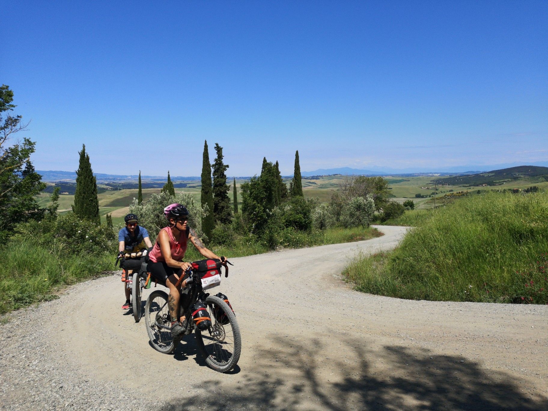
The Tuscany Trail – bikepacking in the heart of Italy
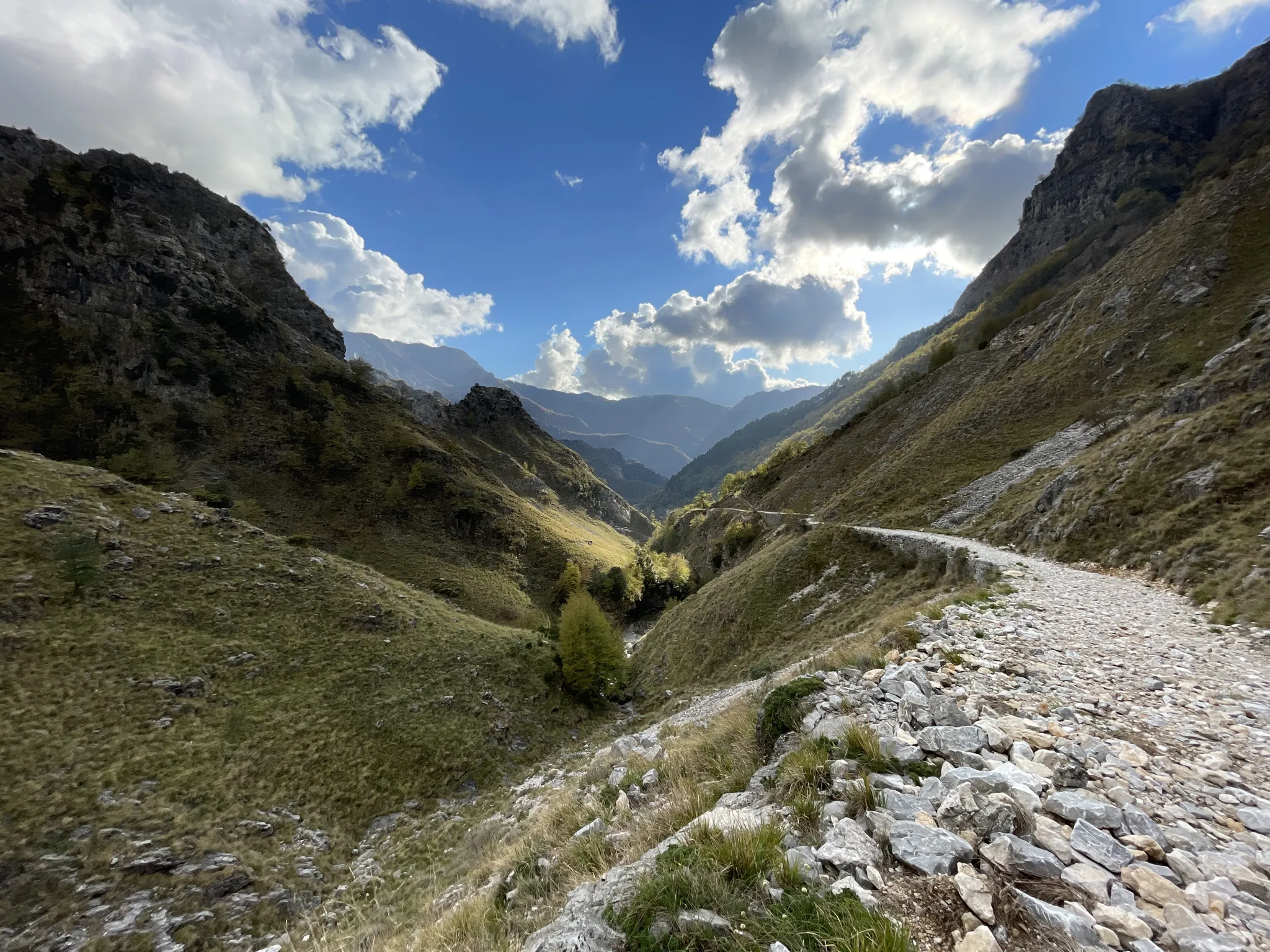
18th-century route from Modena to Massa – Via Vandelli
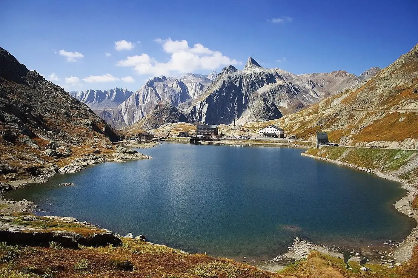
A cycling pilgrimage — history and nature on Italy’s Via Francigena
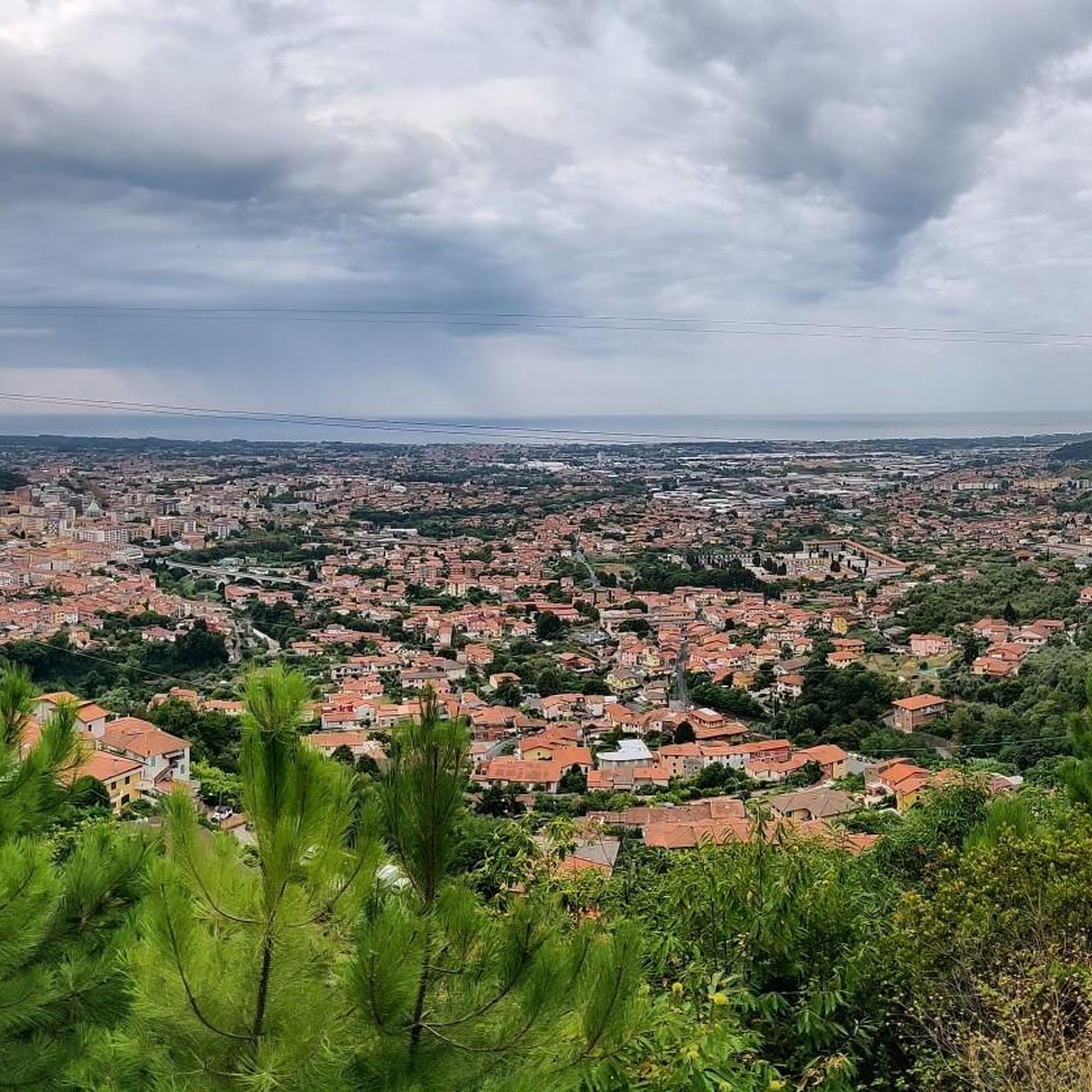
MTB Trails around Massa
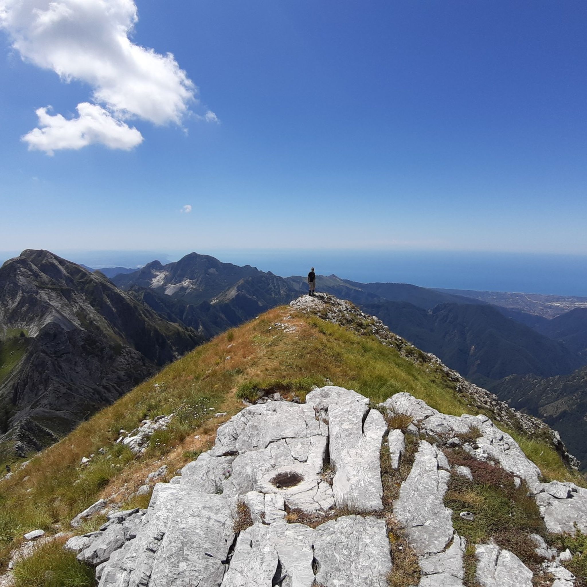
Hiking around Massa
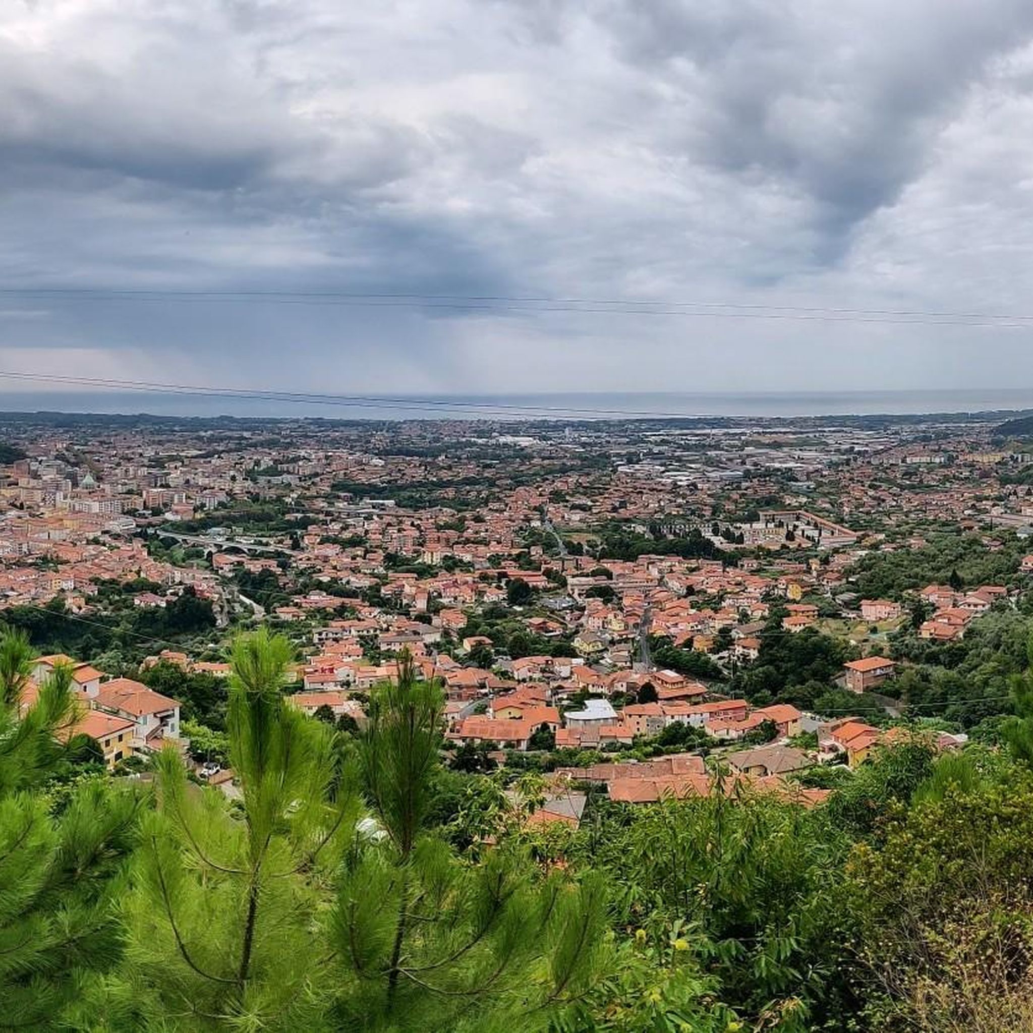
Cycling around Massa
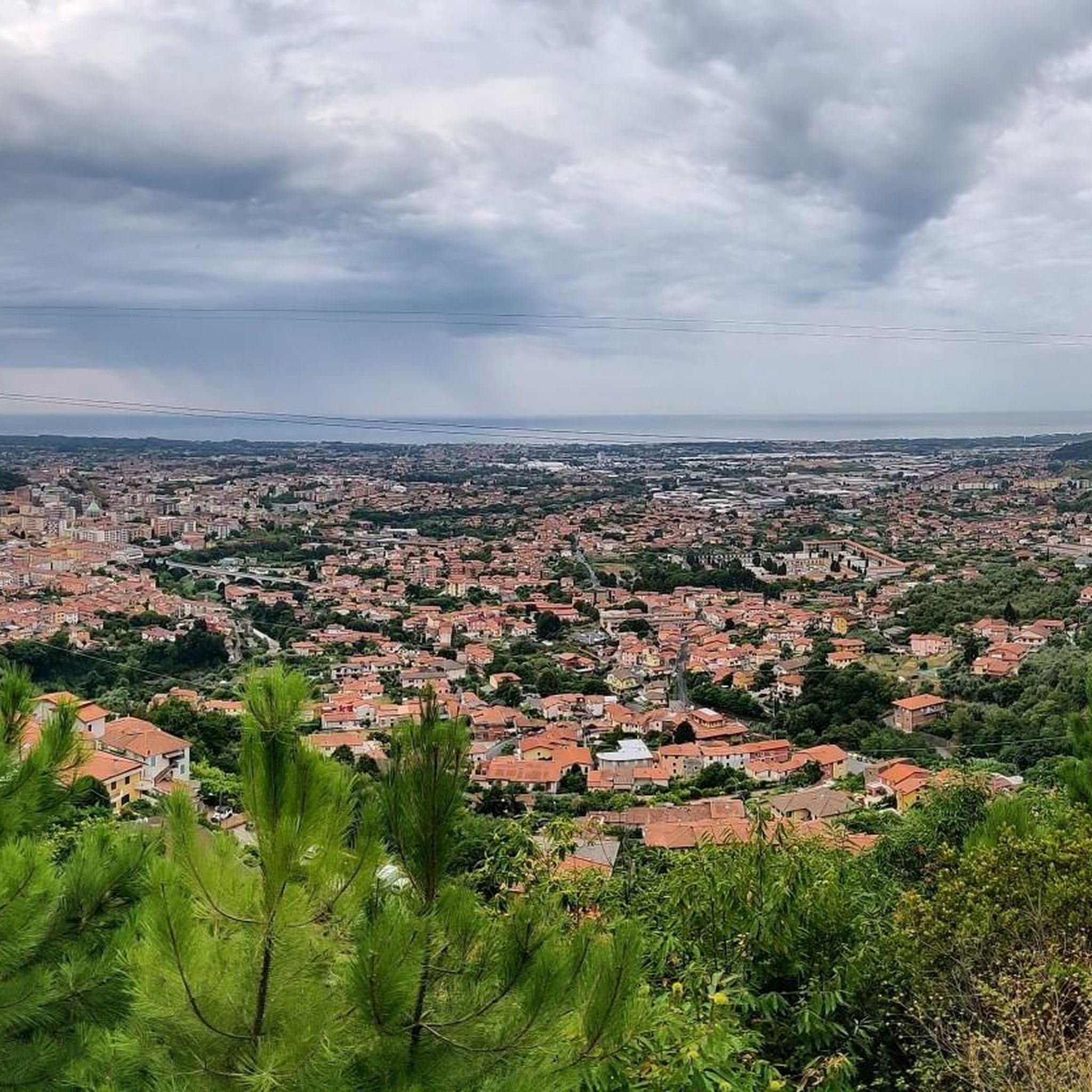
Running Trails around Massa

Mountain Hikes around Massa

Gravel biking around Massa
Other adventures around Massa


Tips from the Community

Climbing Monte Corchia starting from Passo Croce (in the municipality of Stazzema) is one of the most scenic and exciting hikes in the Apuan Alps. The complete loop takes about 5-6 hours and covers an elevation gain of about 550-600 meters (reaching 1678 meters in altitude), and it is classified as EE (Expert Hikers) due to some exposed and steep sections. Even with a MTB it is a beautiful scenic route, you follow the dirt road under the Corchia pinnacles up to a fork. To the left, you descend towards Fociomboli, Puntato, the ghost town of Col di Favilla, then to the Gufonaglia quarry where you need to pay close attention due to the very steep and stony road. Straight ahead from the fork, you reach the Del Freo refuge. Rifugio Giuseppe Del Freo - Pietrapana is one of the main alpine landmarks of the Apuan Alps, located at 1,180 meters above sea level in the grassy basin of Foce di Mosceta.
0
0

Fosdinovo is a charming medieval village in Alta Toscana, located in the province of Massa-Carrara, on the border with Liguria. Known as the "gateway to Lunigiana that looks out to the sea", it stands at about 500 meters above sea level and offers panoramas ranging from the Apuan Alps to the Ligurian Sea.
0
0
Carrara and its coastal district Marina di Carrara represent a unique binomial in Tuscany, combining the extraordinary mountain scenery of the Apuan Alps and the white marble quarries with a lively seaside resort overlooking the Ligurian Sea.
0
0
The Magra River is an important watercourse in central Italy, 62 kilometers long, flowing between Tuscany and Liguria. It represents the main watercourse of Liguria in terms of average discharge at its mouth. It originates at an altitude of 1,401 meters from Monte Borgognone, crosses the fertile Val di Magra, and flows into the Ligurian Sea at Bocca di Magra.
0
0
The Magra river is an important watercourse in central Italy, 62 kilometers long, flowing between Tuscany and Liguria. It represents Liguria's main watercourse by average flow rate at the mouth. It originates at an altitude of 1,401 meters from Monte Borgognone, crosses the fertile Val di Magra, and flows into the Ligurian Sea at the locality of Bocca di Magra
0
0
Bocca di Magra is a charming coastal hamlet in the municipality of Ameglia, located in the province of La Spezia at the mouth of the river of the same name, Magra. An ancient fishing village, the locality lies on the border between Liguria and Tuscany, immersed in the greenery of the Montemarcello-Magra-Vara Regional Natural Park.
0
0

A very easy and pleasant ride. Much of the route follows secondary roads with very little traffic. Splendid views of Fosdinovo Castle, the mouth of the Magra River, and the Bay of La Spezia.
1
0

Frequently Asked Questions
How many road cycling routes are available around Massa?
There are over 60 road cycling routes around Massa, catering to various skill levels. You'll find a good mix of easy, moderate, and challenging options to explore the region's diverse landscapes.
What kind of terrain and difficulty levels can I expect for road cycling in Massa?
Massa offers a diverse range of terrain, from flat coastal paths to challenging mountain ascents in the Apuan Alps. You can find easy rides with minimal elevation gain, moderate routes with some hills, and difficult paths featuring significant climbs, such as the Apuan Alps and passes like Passo del Vestito. The region's unique position between the mountains and the sea provides varied elevation profiles for all road bike enthusiasts.
When is the best time of year for road cycling in Massa?
The spring and autumn months generally offer the most pleasant conditions for road cycling in Massa, with milder temperatures and less tourist traffic. Summer can be quite hot, especially for mountain climbs, while winter might bring cooler temperatures and potential for rain in the lower areas or snow in the higher Apuan Alps.
Are there any notable landmarks or viewpoints along the road cycling routes in Massa?
Absolutely! Many routes offer stunning views and pass by interesting landmarks. For breathtaking vistas of the Tyrrhenian coast and the highest peaks of the Apuan Alps, consider routes that venture towards Campocecina. You might also encounter natural features like the Monte Forato Natural Arch or mountain passes such as Passo del Vestito and Tambura Pass. Some routes also pass through charming hamlets and offer views of the sea.
Where can I find challenging road cycling climbs around Massa?
For those seeking a challenge, the Apuan Alps provide numerous demanding climbs. Routes like the Start of Passo Croce Climb – Seravezza (Lucca) loop from Massa Centro offer significant elevation gain through mountain scenery. Another demanding option is the Antona Village – Passo del Vestito loop from Massa Centro, which takes you deep into the Apuan Alps with over 2,500 meters of elevation gain.
Are there easy or family-friendly road cycling routes in Massa?
Yes, Massa offers several easy road cycling routes, particularly along the coast, which are suitable for all fitness levels. The Sunset Beach – Viareggio Beach loop from Massa Centro is an easy 46.3 km trail with mostly flat terrain and coastal views. Another gentle option is the Sunset Beach – Abbey of St. Peter in Camaiore loop from Marina di Massa.
Are there circular road cycling routes available in Massa?
Many of the road cycling routes around Massa are designed as loops, allowing you to start and end in the same location. Examples include the Cansoli Valley – Seravezza (Lucca) loop from Massa Centro, which is a moderate ride, and the more challenging Antona Village – Passo del Vestito loop from Massa Centro.
Is parking available for cyclists near the road cycling routes in Massa?
While specific parking areas for cyclists are not always signposted, you can generally find parking in and around Massa Centro or Marina di Massa, which serve as common starting points for many routes. It's advisable to check local parking regulations and availability, especially during peak season.
Can I access road cycling routes in Massa using public transport?
Massa has a local public transport network, but carrying bicycles on buses or trains can be restricted, especially during busy times. It's best to check with the local transport providers for their specific policies regarding bicycles before planning your trip. Many cyclists prefer to drive to a starting point and park.
Are there cafes or places to stop for refreshments along the road cycling routes?
Yes, many road cycling routes around Massa pass through charming hamlets and towns where you can find cafes, restaurants, and small shops to refuel. Coastal routes often have plenty of options, and even some mountain routes might lead you through villages with local eateries. It's always a good idea to carry some snacks and water, especially on longer or more remote rides.
What natural features can I explore while road cycling in Massa?
Beyond the stunning Apuan Alps, you can explore the scenic Frigido valley, which offers splendid views of Versilia. The region also features the Renara stream with its natural pools and waterfalls, providing a refreshing natural escape. For flora enthusiasts, the Pellegrini Botanical Garden in the Apuan Alps Natural Park showcases diverse Apuan plant life, and the WWF Educational Park in Marina di Massa offers a coastal forest environment.
What do other cyclists appreciate most about road cycling in Massa?
The road cycling routes in Massa are highly rated by the komoot community, with an average score of 4.4 stars from over 160 reviews. Cyclists often praise the incredible diversity of terrain, from challenging mountain climbs with panoramic views to picturesque coastal rides. The blend of natural beauty, varied difficulty levels, and well-maintained roads makes it a favorite destination for many.
Most popular attractions around Massa

Get inspired with the komoot mobile app


Explore more
Browse the best Road cycling routes in other regions.
