The best walks and hikes around Città Di Castello
4.4
(299)
1,238
hikers
87
hikes
Hiking around Città Di Castello offers diverse terrain within the Upper Tiber Valley of Umbria, Italy. The region features paths winding through surrounding hills, providing views towards the Apennine ridge and nearby Tuscany. Trails often traverse wooded areas and soft ridges, with the Tiber River also presenting accessible routes along its banks. This landscape provides a mix of gentle riverside walks and more challenging mountainous ascents.
Best hiking trails around Città Di Castello
- The most popular hiking route is Viewpoint over the Valley – St. Francis Cave 2a loop from Golf Club, a 15.6 miles (25.1 km) trail that takes 7 hours 44 minutes to complete. This difficult route offers expansive views over the valley and connects to the St. Francis Cave.
- Another top favourite among local hikers is St. Francis Cave 2a – Hermitage of Buon Riposo loop from Città di Castello, a moderate 5.2 miles (8.4 km) path. This trail explores areas of historical and spiritual significance, including the St. Francis Cave and the Hermitage of Buon Riposo.
- Local hikers also love the Hiking loop from Città di Castello-Fornace, a 7.2 miles (11.5 km) trail leading through the surrounding hills, often completed in about 2 hours 55 minutes.
- Hiking around Città Di Castello is defined by the Upper Tiber Valley, surrounding hills, and wooded areas. The network offers options for easy, moderate, and difficult routes, catering to various ability levels.
- The routes in Città Di Castello are highly rated by the komoot community with an average score of 4.4 stars from over 240 reviews. Almost 1,000 hikers have used komoot to explore Città Di Castello's varied terrain.
Last updated: October 12, 2026
4.0
(4)
22
hikers
Moderate hike. Good fitness required. Easily-accessible paths. Suitable for all skill levels.
4.6
(8)
24
hikers
8.36km
02:27
230m
230m
Moderate hike. Good fitness required. Easily-accessible paths. Suitable for all skill levels.

4.3
(4)
34
hikers
10.9km
02:46
20m
20m
Moderate hike. Good fitness required. Easily-accessible paths. Suitable for all skill levels.
4.8
(5)
13
hikers
10.7km
03:27
470m
470m
Moderate hike. Good fitness required. Easily-accessible paths. Suitable for all skill levels.
4.7
(3)
28
hikers
12.4km
03:08
20m
20m
Moderate hike. Good fitness required. Easily-accessible paths. Suitable for all skill levels.
Get access to more routes and recommendations from other explorers.
Already have an account?
Our route recommendations are based on thousands of hikes, rides, and runs completed by other people on komoot.
Start today with a free account
Your next adventure awaits.
Popular around Città Di Castello
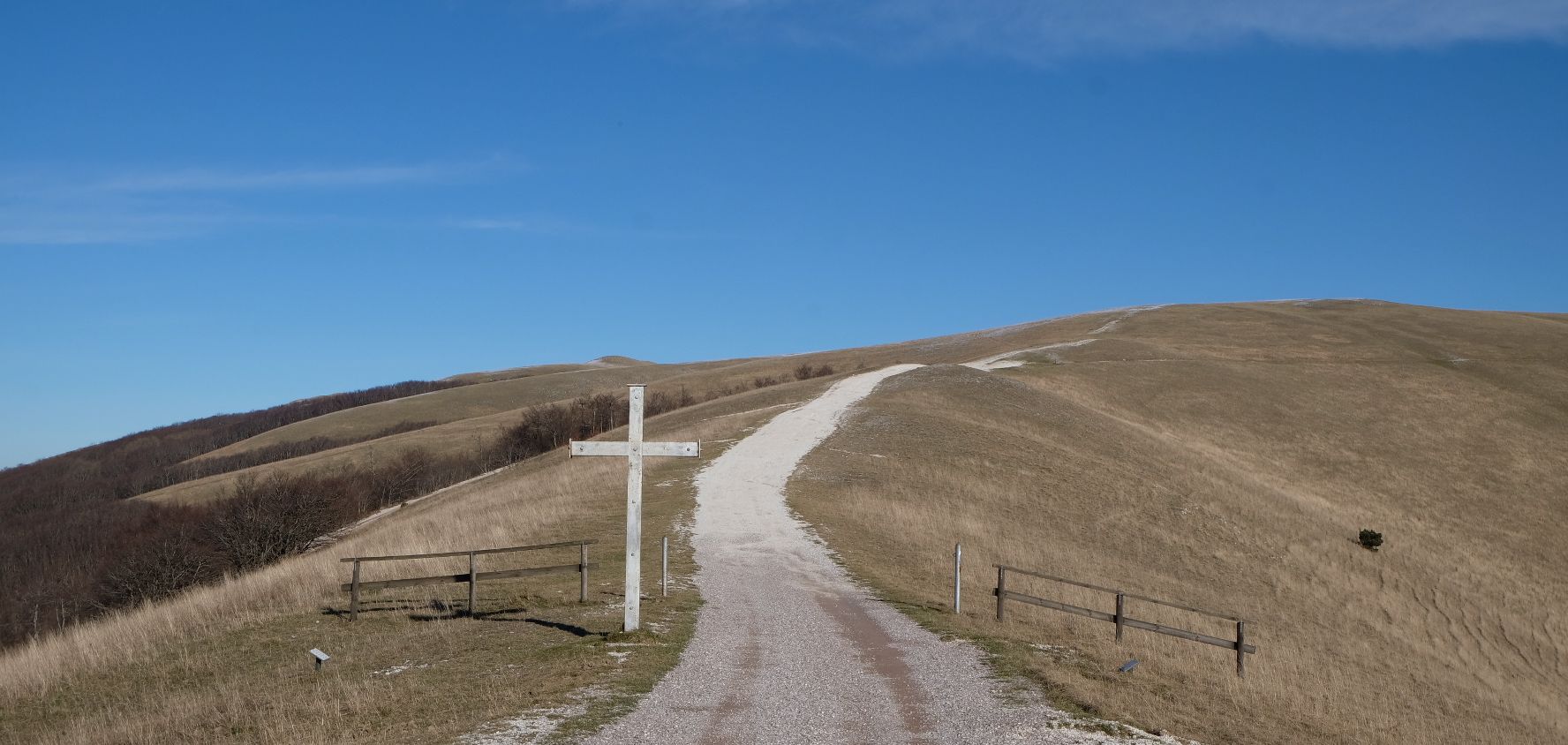
In the footsteps of St. Francis - Cammino di Assisi
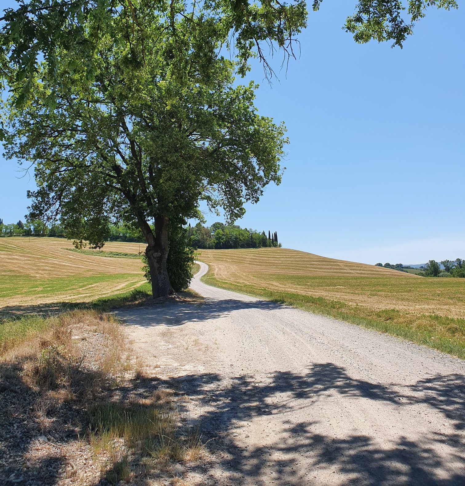
Ciclovia dei due mari - By bike from the Tyrrhenian Sea to the Adria
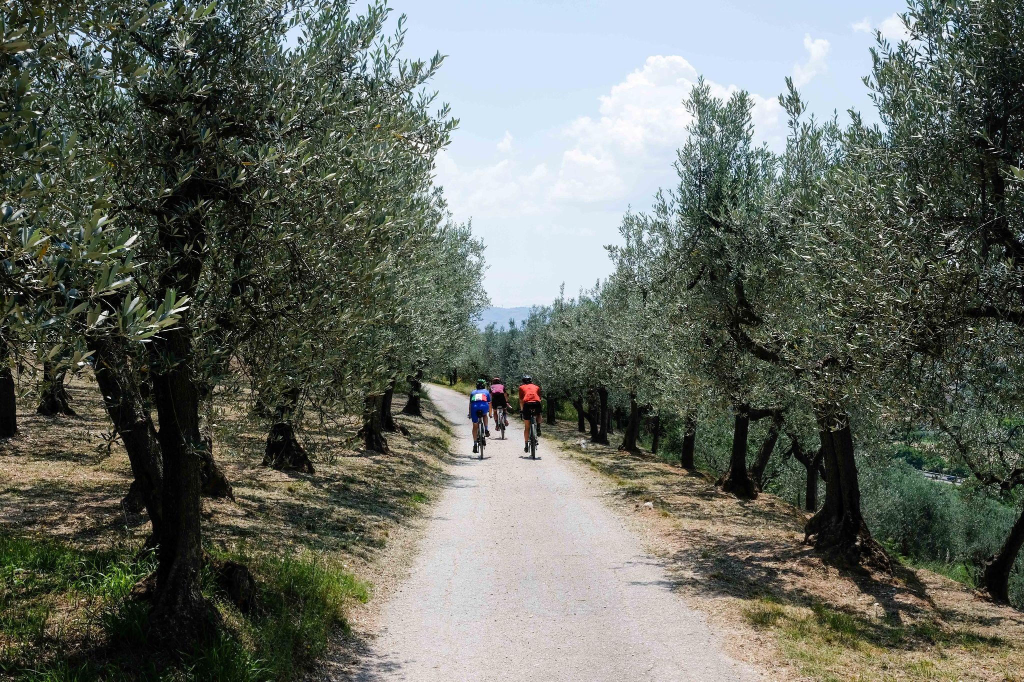
Cycle the St. Francis Way in Italy – Via del Nord
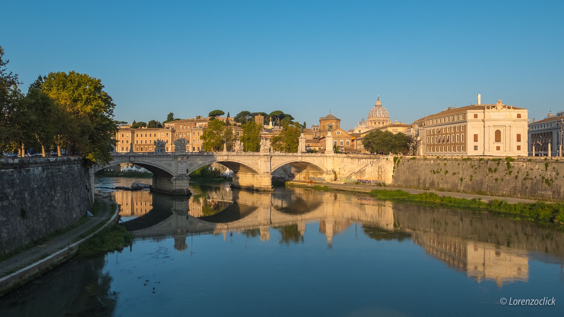
Cycling from the source to the mouth of the Tiber — the Regina Ciclarum
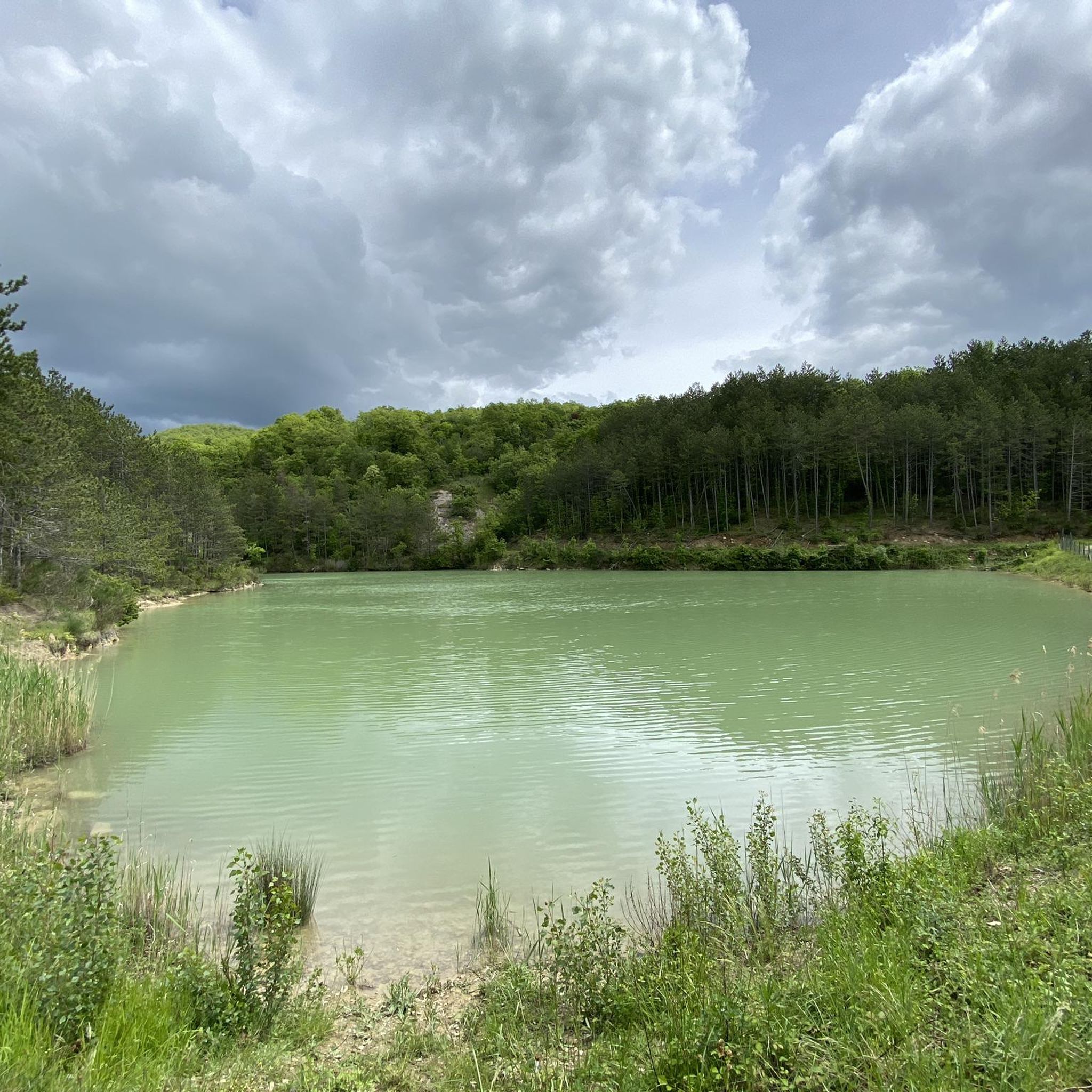
Road Cycling Routes around Città Di Castello
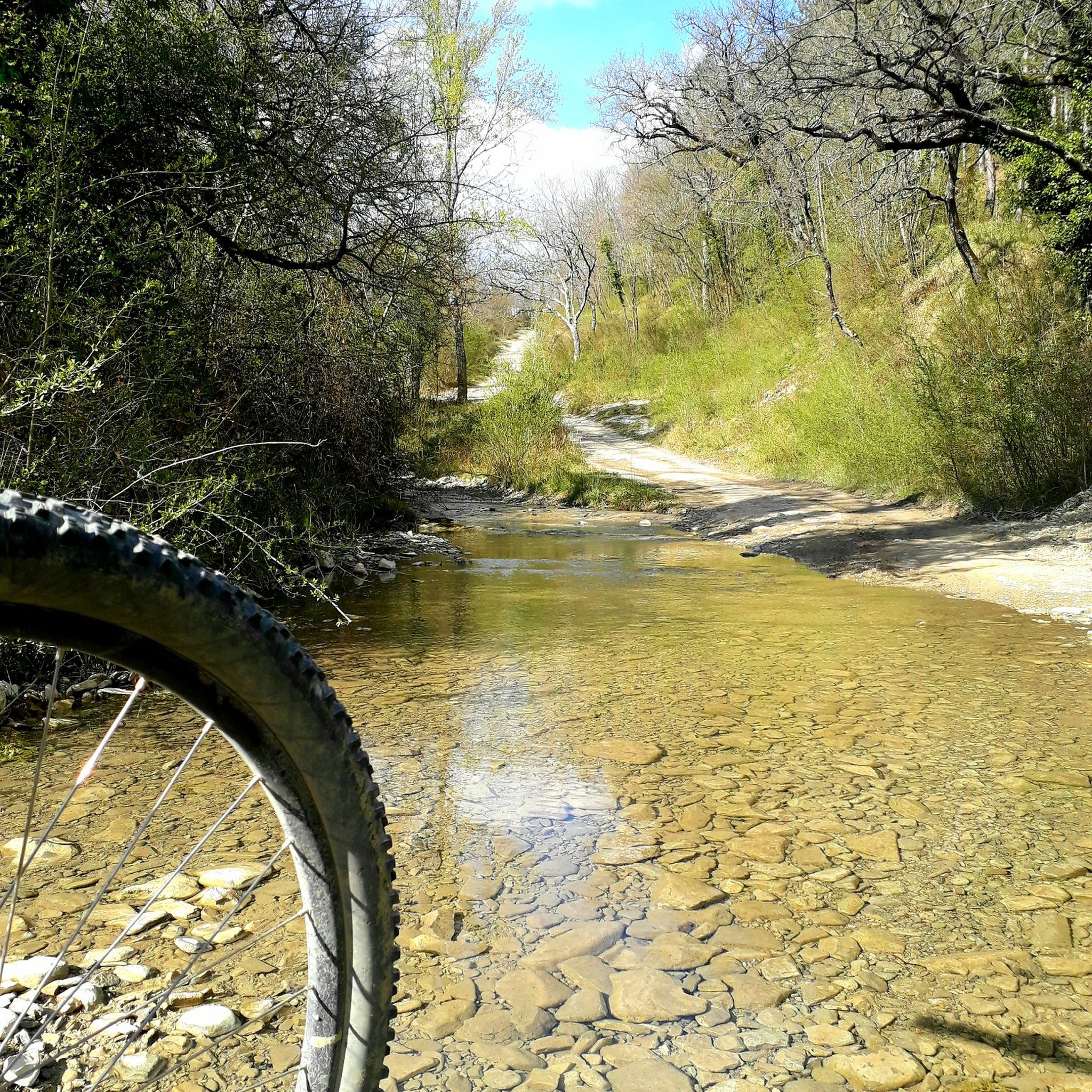
MTB Trails around Città Di Castello
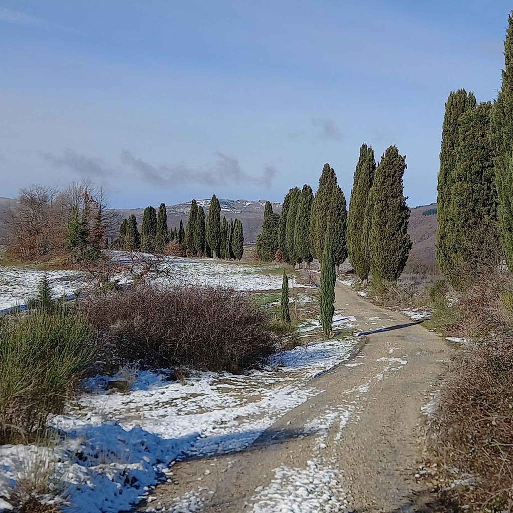
Cycling around Città Di Castello
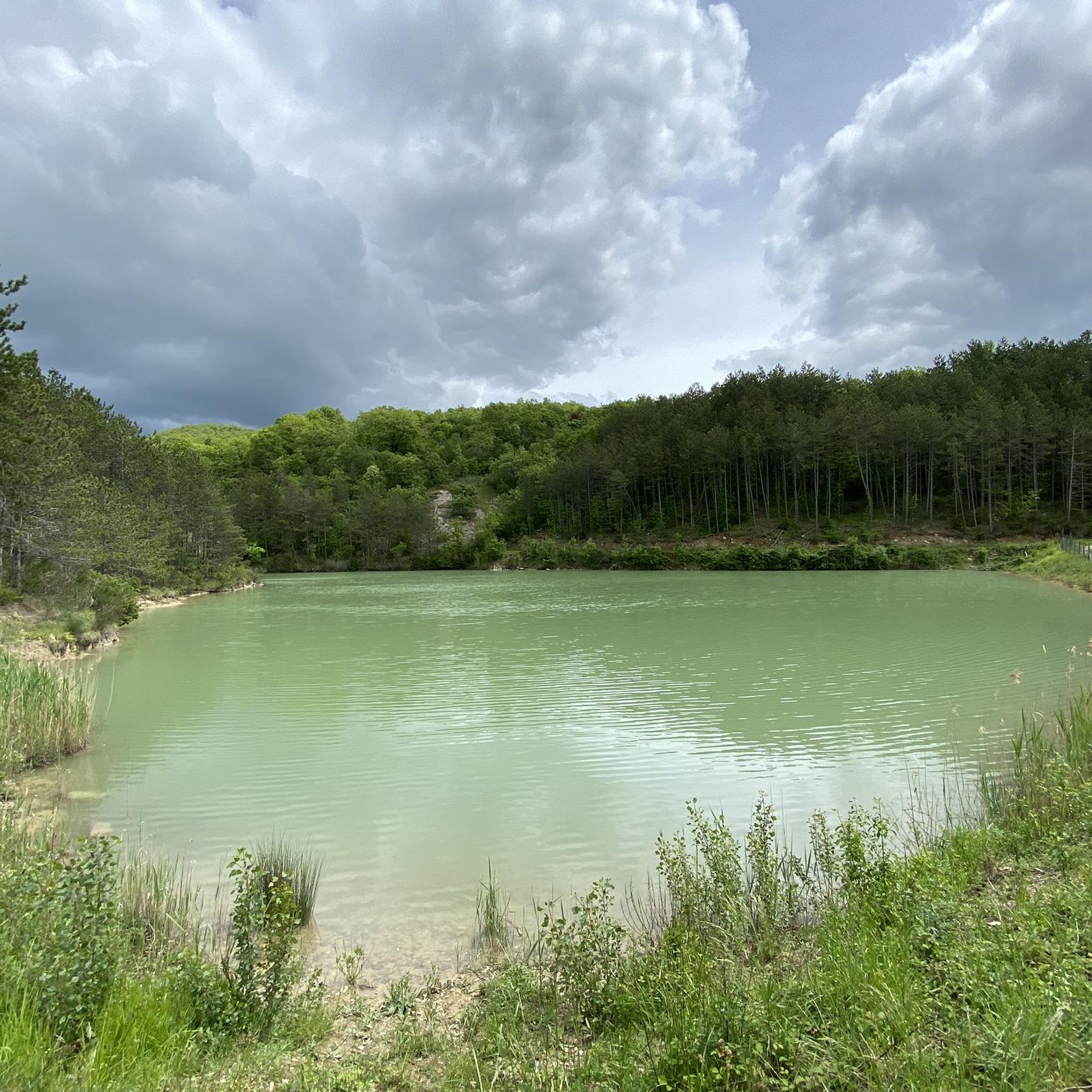
Running Trails around Città Di Castello

Gravel biking around Città Di Castello
Other adventures around Città Di Castello


Tips from the Community

A path along the Tiber where you can stroll in peace and quiet. The trail is easy and well-maintained (only a few sections have roadblocks due to construction that can be bypassed).
0
0

Following the track of the Apennine Cycle Route which passes mostly on asphalt, I found myself on this beautiful stretch of dirt road of about 15 km. along the Tiber, beautiful beautiful.
0
1

For us tifernati, this is THE BRIDGE OF THE TIBER!!
0
0

Coming from Umbria Camp, continue left at the crossroads for Nuvole and face a short but intense climb without any technical difficulty
0
0

Easy route suitable for everyone. Good state of maintenance. In summer, the large plants create a pleasant shade over a large part of the route.
2
0

The River Tiber with its length of 405km. it appears to be the main one in central Italy and third in the whole peninsula. From Monte Fumaiolo, the top of the Tuscan-Emilian Apennines, it is possible to locate its source at 1268m. s.l.m., its watercourse crosses the entire Umbrian region and then flows into the Tyrrhenian Sea, after having wet the Lazio region and cut the capital ROME in two. Along its entire Umbrian journey it is easy to find bridges which then gave their name to the towns developed there: Ponte Pattoli - Ponte Felcino - Ponte Valleceppi and finally Ponte San Giovanni, all located in the municipality of Perugia.
1
0

The place is submerged by brambles and scrub, the tower has pieces that detach and is in the middle of the vegetation, but it is always worth getting there, use the road that comes from above because the one that comes from below is impassable uphill and difficult to get off.
0
0
This stretch of the cycle path with its very high poplars and the harmonious curves that the river makes and the encounter with the Cerfone stream is truly unique
1
0
Frequently Asked Questions
How many hiking trails are available around Città Di Castello?
There are over 80 hiking routes in the Città Di Castello area, offering a wide range of options for different skill levels and preferences. You'll find everything from gentle riverside paths to more challenging mountainous ascents.
What kind of terrain can I expect when hiking near Città Di Castello?
The terrain around Città Di Castello is quite diverse, ranging from paths winding through the hills of the Upper Tiber Valley to routes along the Tiber River banks. You'll encounter wooded areas, soft ridges, and trails leading towards the Apennine ridge. Some paths offer expansive views towards Tuscany and Upper Umbria.
Are there different difficulty levels for hiking trails in the area?
Yes, the trails around Città Di Castello cater to various abilities. You can find easy, moderate, and difficult routes. There are over 35 easy trails, 45 moderate trails, and a few challenging options for experienced hikers.
Are there any family-friendly hiking options in Città Di Castello?
Yes, several trails are suitable for families. The paths along the Tiber River, such as those near the Parco dell'Ansa del Tevere and Parco dei Cigni, are generally easy and suitable for all ages. Look for routes with lower elevation gain and shorter distances for a pleasant family outing.
Can I find circular hiking routes around Città Di Castello?
Yes, there are several circular routes available. One example is the Hiking loop from Città di Castello-Fornace, which is a moderate 7.2-mile (11.5 km) trail. Another is the 'Lands of the Marquises' Trek, which is also a circular route starting from Monte Santa Maria.
Are there any waterfalls or natural swimming spots along the trails?
Yes, for those seeking refreshing natural attractions, the waterfalls at Sasso, a hamlet between Città di Castello and Pietralunga, offer a series of pools where visitors can swim and cool off, especially during warmer months.
What are some notable landmarks or attractions I can see while hiking?
Many trails pass by significant cultural and historical sites. You can visit the Hermitage of Montecasale, founded by St. Francis, or explore the Pietralunga Historic Village. The region is also part of the Way of St. Francis, with local loops like 'St. Francis Cave' and 'Hermitage of Buon Riposo' offering spiritual and scenic experiences. The Pieve of Saddi is another historical religious building you might encounter.
Are there any trails that offer expansive viewpoints?
Absolutely. Many routes through the hills surrounding Città Di Castello provide expansive views towards the mountains and valleys of both nearby Tuscany and Upper Umbria. The Viewpoint over the Valley – St. Francis Cave 2a loop from Golf Club is specifically known for its panoramic vistas.
What do other hikers enjoy most about the trails in Città Di Castello?
The trails in Città Di Castello are highly rated by the komoot community, with an average score of 4.4 stars from over 240 reviews. Hikers often praise the diverse terrain, the blend of natural beauty with historical sites, and the well-maintained network of paths.
Is it possible to access hiking trails using public transport?
While specific public transport links directly to trailheads can vary, Città Di Castello itself is accessible by public transport. For reaching specific starting points further afield, local bus services might be available, but it's often advisable to check local schedules or consider car access for more remote trailheads.
Are there any long-distance hiking opportunities in the region?
Yes, the region offers multi-day hiking and trekking options. Città Di Castello is a point along the broader Way of St. Francis, a significant pilgrimage route. There are also routes like '170 VS Bocca Serriola - Pieia' and '169 VS Passo di Bocca Trabaria - Bocca Serriola' that cater to experienced hikers looking for longer adventures.
What is the best time of year to go hiking in Città Di Castello?
Spring and autumn are generally ideal for hiking in Città Di Castello, offering pleasant temperatures and vibrant landscapes. During warmer months, the waterfalls at Sasso provide a refreshing stop. Always check local weather conditions before heading out.
Most popular routes around Città Di Castello
Most popular attractions around Città Di Castello

Get inspired with the komoot mobile app


Explore more
Browse the best Hikes in other regions.
