The best running trails around Monte Santa Maria Tiberina
4.1
(114)
1,650
runners
203
runs
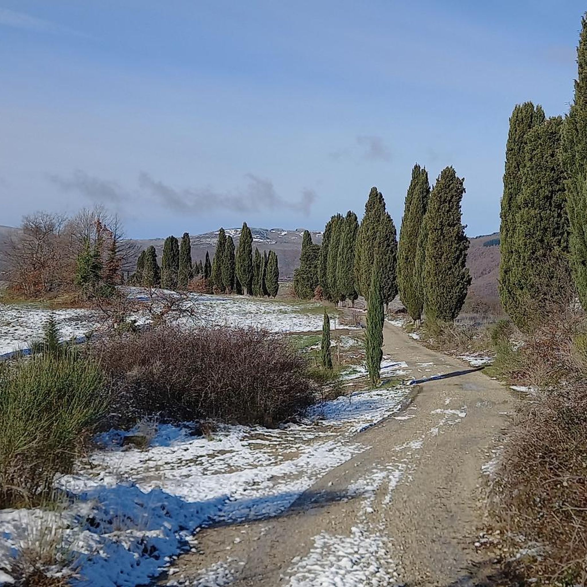
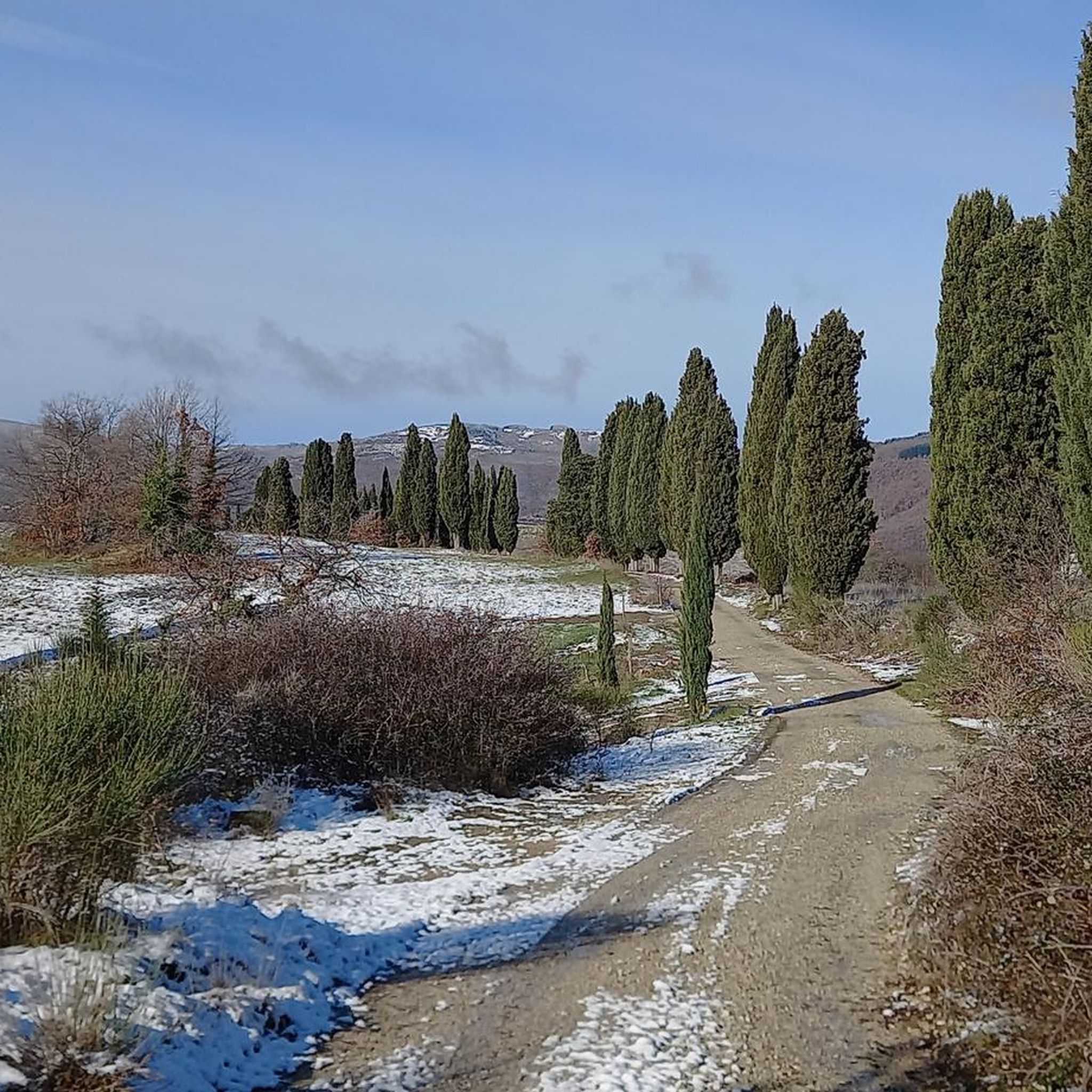
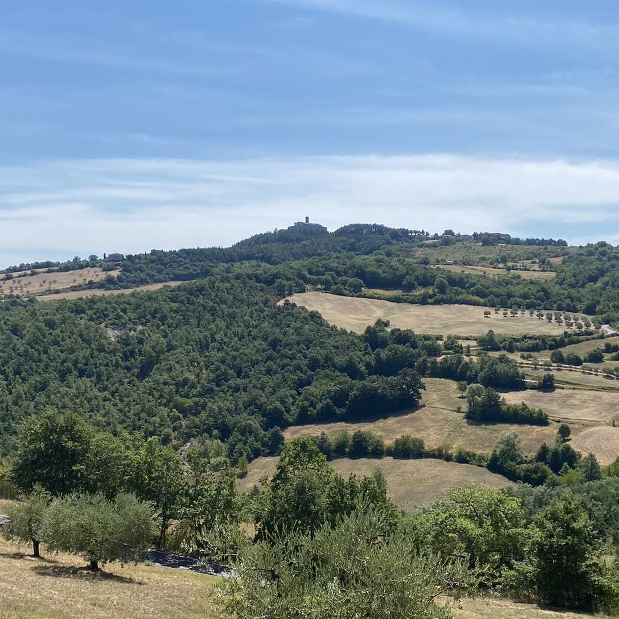
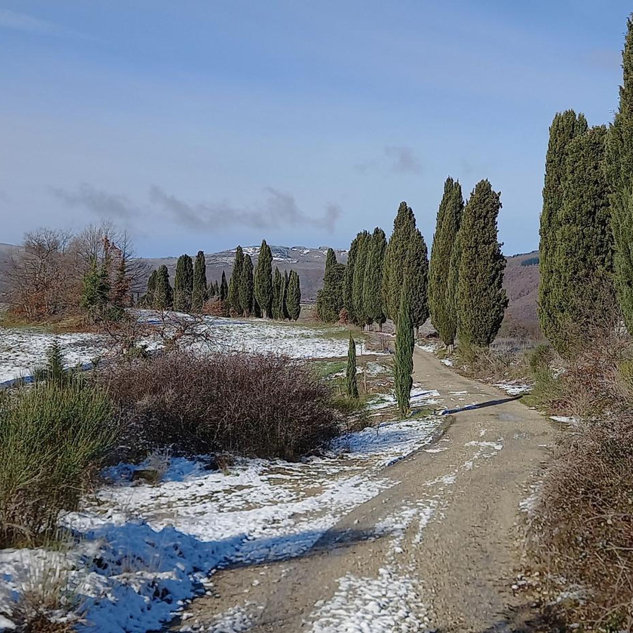
Jogging around Monte Santa Maria Tiberina offers a variety of routes through the Umbrian countryside. The region is characterized by rolling hills, agricultural landscapes, and forested areas, providing diverse terrain for runners. Many paths follow quiet country roads or trails through woodlands, with some routes featuring gentle elevation changes. This area provides a natural setting for outdoor activity, suitable for various fitness levels.
Best jogging routes around Monte Santa Maria Tiberina
- The most popular jogging route is Altotevere Bike ASD…
Last updated: August 31, 2026
3.5
(2)
9
runners
6.93km
00:47
210m
210m
Moderate run. Good fitness required. Mostly paved surfaces. Suitable for all skill levels.
10
runners
18.1km
02:02
200m
200m
Hard run. Very good fitness required. Mostly paved surfaces. Suitable for all skill levels.

Sign up for free
4.0
(1)
7
runners
12.3km
01:20
210m
210m
Moderate run. Good fitness required. Mostly paved surfaces. Suitable for all skill levels.
7
runners
6.96km
00:44
30m
30m
Moderate run. Good fitness required. Mostly paved surfaces. Suitable for all skill levels.
6
runners
10.9km
01:19
350m
350m
Hard run. Very good fitness required. Mostly paved surfaces. Suitable for all skill levels.
Get access to more routes and recommendations from other explorers.
Sign up for free
Already have an account?
Our route recommendations are based on thousands of hikes, rides, and runs completed by other people on komoot.
Start today with a free account
Your next adventure awaits.
Login or Signup

Tips from the Community

For us tifernati, this is THE BRIDGE OF THE TIBER!!
0
0


The River Tiber with its length of 405km. it appears to be the main one in central Italy and third in the whole peninsula. From Monte Fumaiolo, the top of the Tuscan-Emilian Apennines, it is possible to locate its source at 1268m. s.l.m., its watercourse crosses the entire Umbrian region and then flows into the Tyrrhenian Sea, after having wet the Lazio region and cut the capital ROME in two. Along its entire Umbrian journey it is easy to find bridges which then gave their name to the towns developed there: Ponte Pattoli - Ponte Felcino - Ponte Valleceppi and finally Ponte San Giovanni, all located in the municipality of Perugia.
1
0

One of the two access points to the city Tifernate if you come across the Tiber River and gateway to the "Rione Prato"
3
0
Frequently Asked Questions
How many running routes are available in Monte Santa Maria Tiberina?
There are over 180 running routes documented in Monte Santa Maria Tiberina on komoot, offering a wide variety of options for different fitness levels and preferences.
Are there easy running routes suitable for beginners?
Yes, Monte Santa Maria Tiberina offers several easy running routes. You can find 8 routes specifically graded as easy, perfect for those new to running or looking for a relaxed jog. The region's rolling hills also provide many paths with gentle elevation changes.
What kind of terrain can I expect on the running trails?
The running routes in Monte Santa Maria Tiberina feature diverse terrain, including quiet country roads, trails through woodlands, and agricultural landscapes. You'll encounter rolling hills and sections with gentle ascents and descents, providing a varied experience.
Are there challenging running routes for experienced runners?
Absolutely. For those seeking a more demanding run, there are 51 routes graded as difficult. An example is the Col di Fabbri – Poggio dei Cerri loop from Monte Santa Maria Tiberina, which features significant elevation changes over its 10.9 km distance.
Can I bring my dog on the running trails?
Many trails in the Monte Santa Maria Tiberina area are suitable for running with dogs, especially those through woodlands and quiet country roads. However, it's always recommended to check local regulations and ensure your dog is on a leash, particularly in agricultural areas or near wildlife.
Are the running routes mostly circular?
Yes, many of the popular running routes in Monte Santa Maria Tiberina are circular, allowing you to start and finish at the same point. Examples include the Running loop from Monte Santa Maria Tiberina and the Running loop from Trestina.
What do other runners say about the trails in Monte Santa Maria Tiberina?
The running routes in Monte Santa Maria Tiberina are highly rated by the komoot community, with an average score of 4.4 stars from over 100 reviews. Runners often praise the natural setting, varied terrain, and the peaceful atmosphere of the Umbrian countryside.
Are there any interesting landmarks or attractions along the running routes?
While running, you might encounter various points of interest. The region is rich in history and natural beauty. Nearby attractions include the Church of San Severo and the Historic Centre of Anghiari. Some routes may also intersect with sections of the Tiber Cycle Route (Ciclovia del Tevere).
What is the best season for running in Monte Santa Maria Tiberina?
Spring and autumn are generally considered the best seasons for running in Monte Santa Maria Tiberina. The weather is milder, and the landscapes are particularly beautiful. Summer can be warm, so early morning or late evening runs are advisable, while winter offers cooler temperatures but may have more unpredictable weather.
Is parking available near the trailheads?
Parking availability varies by trailhead. Many routes start from villages or accessible points where street parking or small public parking areas can be found. For specific routes, it's advisable to check the route details on komoot for information on starting points and potential parking.
Are there any running routes that offer scenic viewpoints?
Given the region's rolling hills and elevated positions, many routes naturally offer scenic views of the Umbrian countryside, agricultural valleys, and distant towns. While specific viewpoints aren't always marked, the open nature of many trails provides ample opportunities for panoramic vistas.
Are there any family-friendly running paths in the area?
Yes, several routes are suitable for families, especially those with relatively flat terrain and shorter distances. Look for the 'easy' graded routes, which often follow quieter country roads or well-maintained paths, providing a pleasant experience for all ages.
Most popular routes around Monte Santa Maria Tiberina
Most popular attractions around Monte Santa Maria Tiberina

Get inspired with the komoot mobile app


Explore more
Browse the best Running Trails & Routes in other regions.
