The best running trails around Giaglione
4.8
(10)
921
runners
69
runs
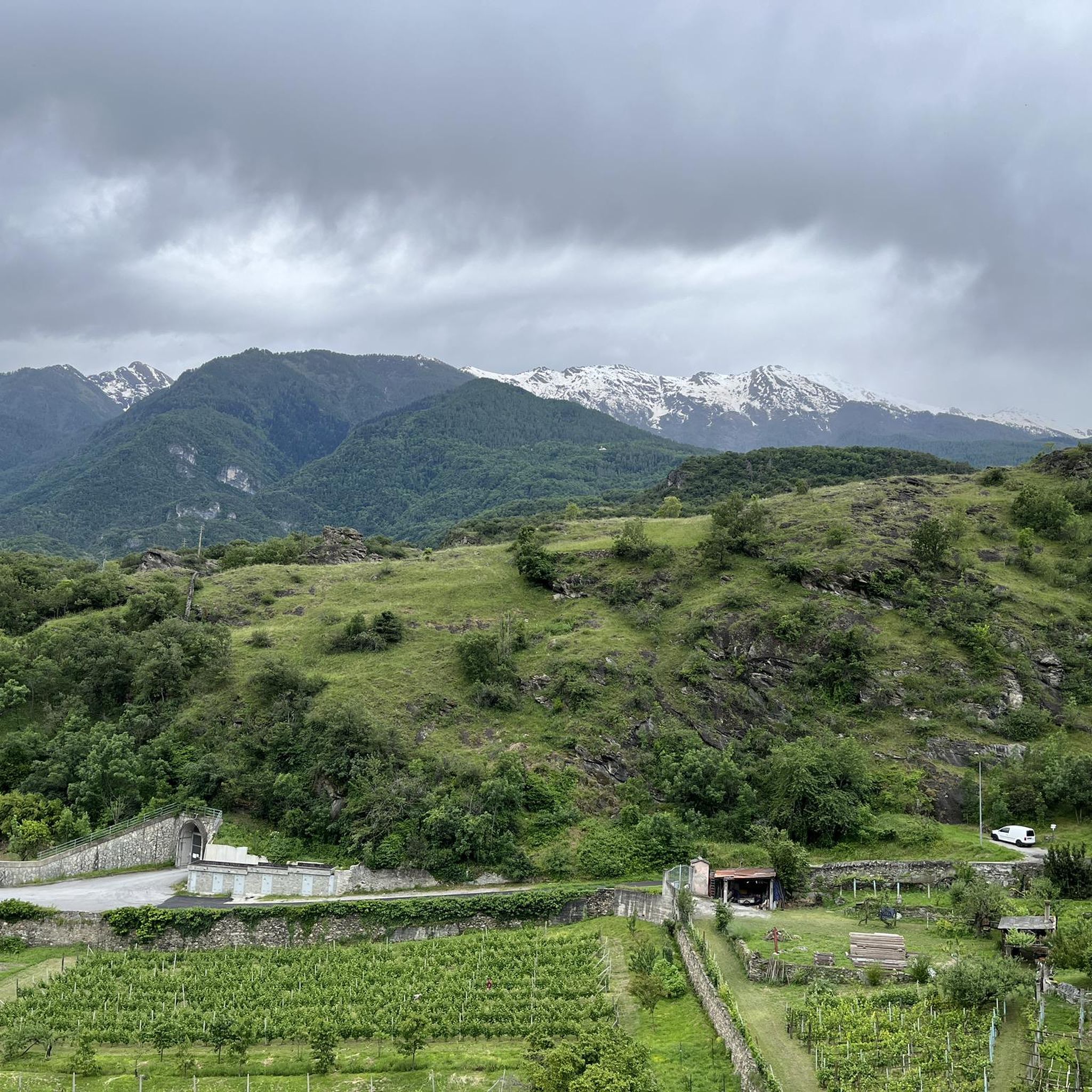
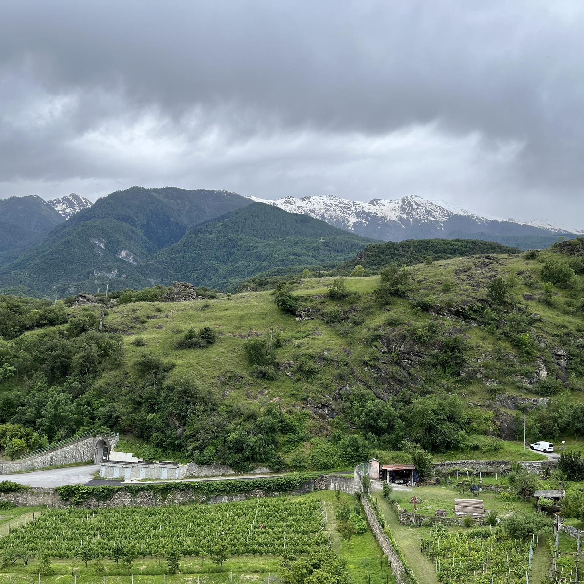
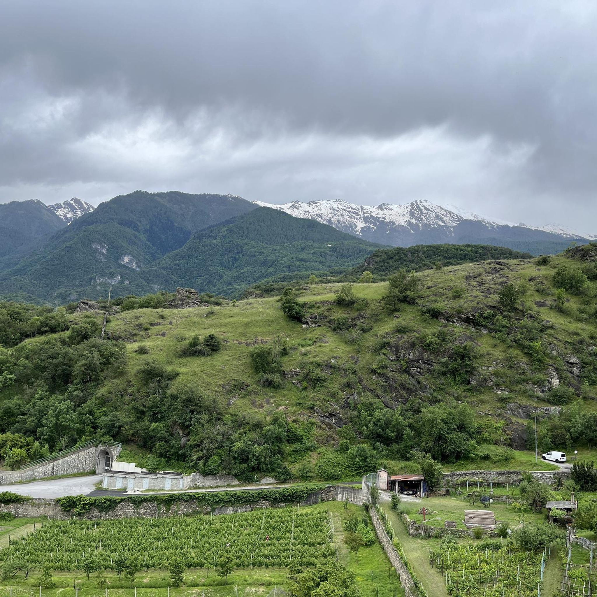
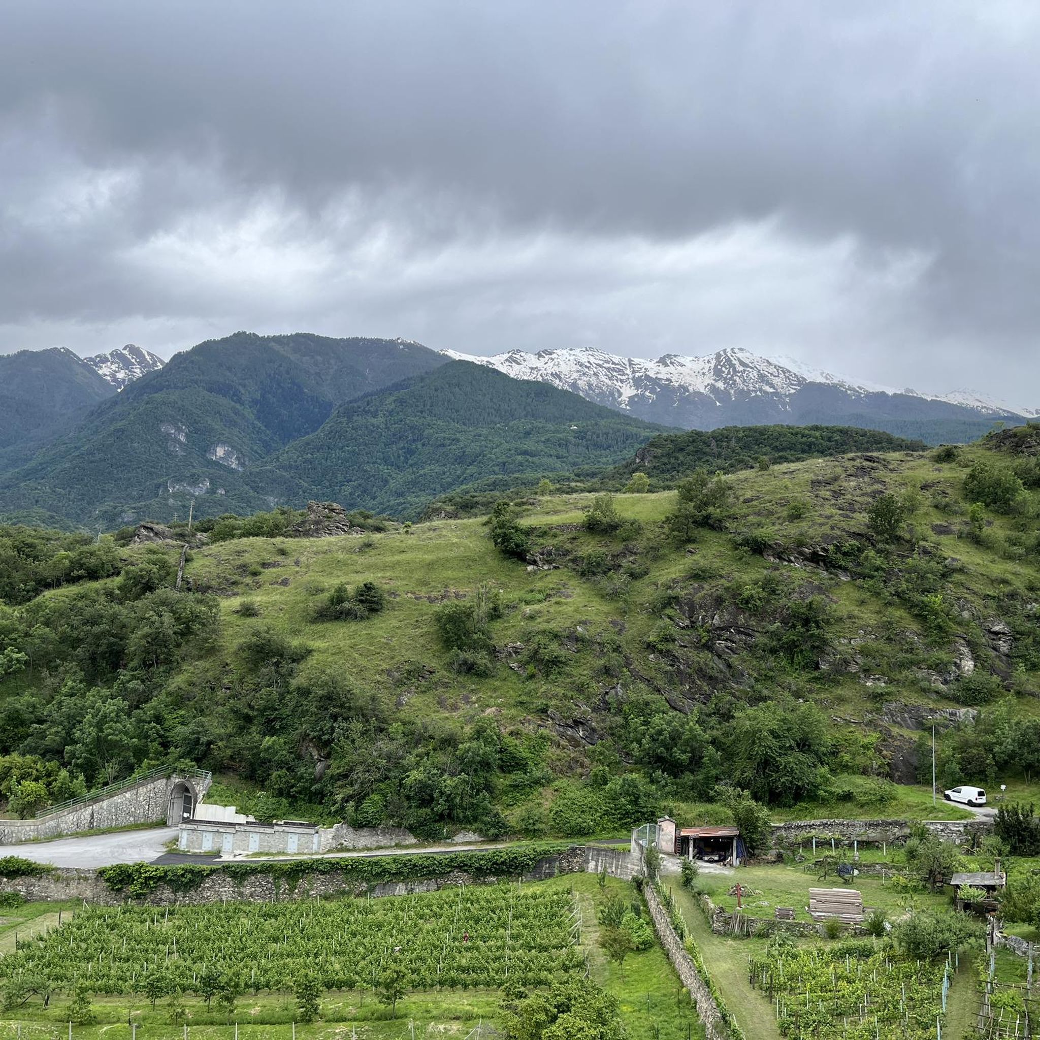
Jogging around Giaglione offers a variety of routes through mountainous terrain and valleys. The region features significant elevation changes, with paths ascending through forests and along open slopes. Runners can expect a landscape characterized by challenging climbs and rewarding views, typical of an alpine environment.
Best jogging routes around Giaglione
- The most popular jogging route is Rifugio Ca' d'Asti loop from Susa, a 14.3 miles (23.0 km) trail that takes 5 hours 30 minutes to complete. This difficult route…
Last updated: July 1, 2026
5.0
(1)
34
runners
23.3km
05:32
2,300m
2,300m
Hard run. Very good fitness required. Sure-footedness, sturdy shoes and alpine experience required.
29
runners
13.8km
01:28
130m
130m
Moderate run. Good fitness required. Mostly paved surfaces. Suitable for all skill levels.

Sign up for free
23
runners
15.1km
01:36
100m
100m
Hard run. Very good fitness required. Mostly paved surfaces. Suitable for all skill levels.
16
runners
4.22km
00:26
30m
30m
Easy run. Great for any fitness level. Mostly paved surfaces. Suitable for all skill levels.
10
runners
10.5km
02:30
1,070m
1,070m
Hard run. Very good fitness required. Sure-footedness, sturdy shoes and alpine experience required.
Get access to more routes and recommendations from other explorers.
Sign up for free
Already have an account?
Our route recommendations are based on thousands of hikes, rides, and runs completed by other people on komoot.
Start today with a free account
Your next adventure awaits.
Login or Signup

Tips from the Community

This refuge is managed and open only during the summer months. It's possible to stop for a break when climbing to the summit of Rocciamelone. It's located approximately halfway between La Riposa and Rocciamelone.
0
0

It's a little pearl of our Piedmont Alps...
0
0

landing place for beginners, or a useful support point to break the climb in 2
0
0

Susa is a town of 6,000 inhabitants in the province of Turin. The historic center boasts many Roman remains, such as the Arch of Augustus, the Roman amphitheater, the temple of the Forum and the Roman aqueduct.
3
0

Susa is a city rich in history and monuments. Of Roman origin (the ancient Segusium), it preserves, stratified in the urban fabric of the historic center, evidence of the Roman era (of which the Arch of Augustus and the Roman arena are the most striking examples!), notable medieval remains (castle of the Marchioness Adelaide, historic village, Porta Savoia...). A visit route can start from the station square (convenient for parking), then continuing along Via Roma (full of shops and bars), crossing the bridge over the Dora, then continuing along the main street until turning right into Via Palazzo di Città (thus passing under the thirteenth-century Civic Tower). Here the medieval porticoes are notable, continuing straight you arrive at the foot of the imposing castle of the Marchioness Adelaide, here you will find the signs for the Roman arena (detour to the left). Back, continue climbing the steps at the foot of the castle to the top where, in a small space, remains of distant eras coexist: the Roman aqueduct, at the foot cup-shaped rocks perhaps from the Celtic era, not far away the Arch of Augustus and the entrance to the internal courtyard of the castle. Going down, you pass under the Arch of Augustus, cross the public gardens admiring the remains of the medieval walls and arrive in Piazza Savoia. Here you turn right, pass under the beautiful Porta Savoia and arrive in the most suggestive corner of Susa, Piazza S. Giusto, dominated by the beautiful cathedral of the same name. You can admire some well-renovated medieval houses before taking Via Francesco Rolando which quickly leads back to Via Roma.
1
0

Place of arrival for many road cyclists, but also starting point for MTB itineraries
0
0

Just walked by and didn't stop But looks very quaint and nice view wonderful
0
2
This panoramic peak made up of perhaps more than 4 teeth, or rather large pointed rocks similar to teeth, is clearly visible from the state road to Bardonecchia. The climb that passes through the pertus is quite easy, while the ring towards the white chapel is more challenging.
4
0
Frequently Asked Questions
How many running routes are available around Giaglione?
There are over 65 running routes around Giaglione, offering a wide range of options for different fitness levels. The majority of these are challenging, with 47 routes rated as difficult, 14 as moderate, and 4 as easy.
Are there any easy running paths for beginners in Giaglione?
Yes, while Giaglione is known for its challenging mountainous terrain, there are 4 routes specifically rated as easy. These paths are suitable for beginners or those looking for a less strenuous run.
What kind of terrain can I expect on jogging trails in Giaglione?
Jogging around Giaglione is defined by mountainous terrain, challenging ascents, and scenic valley paths. You can expect significant elevation changes, with routes ascending through forests and along open slopes, offering rewarding views typical of an alpine environment.
Are there any long-distance running trails in the Giaglione area?
Yes, Giaglione offers several long-distance running trails. For example, the Arch of Augustus in Susa – Susa loop from Susa is a challenging 25-mile (40.3 km) route. Another notable long-distance option is the Rifugio Ca' d'Asti loop from Susa, which covers 14.3 miles (23.0 km) with substantial ascent.
What do other runners say about the jogging routes in Giaglione?
The running routes in Giaglione are highly rated by the komoot community, with an average score of 4.6 stars from over 11 reviews. Runners often praise the varied mountain landscapes, challenging ascents, and the rewarding panoramic views of the surrounding peaks.
Are there any circular jogging routes around Giaglione?
Many of the running routes in Giaglione are circular. Popular options include the Rifugio Ca' d'Asti loop from Susa, the Cima Quattro Denti loop from Chiomonte, and the Susa loop from Susa, all of which offer a complete loop experience.
What kind of scenic viewpoints can I find on the running trails?
The running trails around Giaglione, particularly those with significant climbs like the Cima Quattro Denti loop from Chiomonte, offer panoramic views of the surrounding peaks and valleys. The alpine environment ensures breathtaking vistas throughout many of the routes.
Are there any interesting landmarks or attractions near the jogging routes?
Yes, the region around Giaglione features several points of interest. You can find various huts and refuges, such as the Assietta Refuge or Levi Molinari Hut. There are also beautiful lakes like Rochemolles Lake and Dam and Lago Grande, which can be explored in conjunction with your runs.
Can I find running routes that pass by lakes or water features?
Yes, some routes in the broader Giaglione area offer views of lakes. For instance, you might encounter highlights like Rochemolles Lake and Dam or White Lake, providing refreshing scenery during your run.
What is the best time of year for running in Giaglione?
Given the mountainous terrain, late spring through early autumn typically offers the most favorable conditions for running in Giaglione, with milder temperatures and less snow at higher elevations. Winter running may be possible on lower, cleared paths but can be challenging due to snow and ice.
Are there any less crowded running paths in Giaglione?
While specific crowd levels vary, exploring some of the more challenging or longer routes, such as the Running loop from Venaus, might offer a more secluded experience compared to the most popular trails. Early mornings or weekdays are generally good times to find quieter paths.
Most popular routes around Giaglione
Most popular attractions around Giaglione

Get inspired with the komoot mobile app


Explore more
Browse the best Running Trails & Routes in other regions.
