The best walks and hikes around Giaglione
4.4
(1865)
10,194
hikers
20
hikes
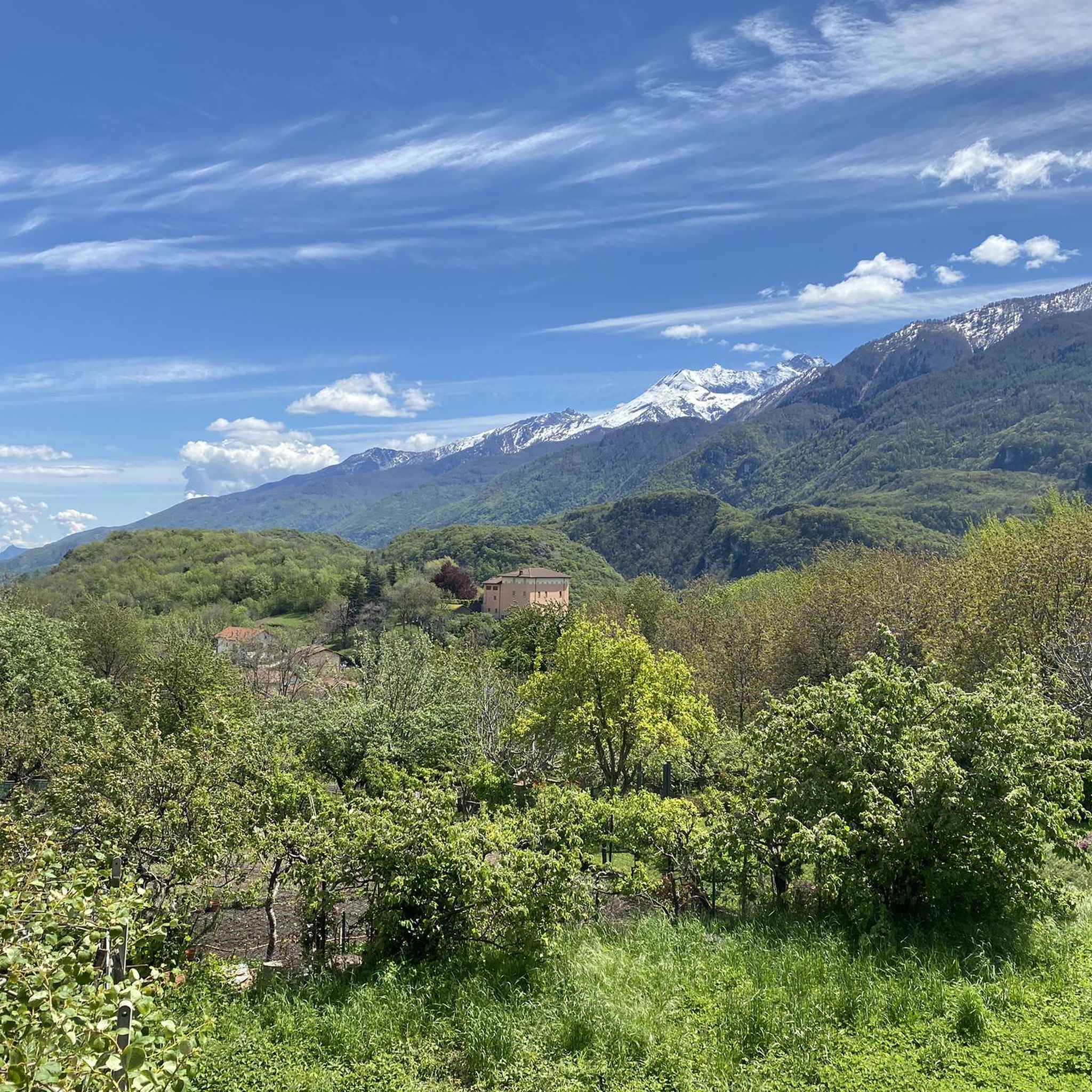
Hiking around Giaglione offers access to the Susa Valley, Val Cenischia, and Val Clarea, providing diverse terrain for outdoor activities. The region features sweeping vistas of the Susa Valley, including woods, terraced vineyards, and high-altitude areas. Natural parks like Orsiera Rocciavrè and Gran Bosco protect glacial lakes, sculpted slopes, and unique forests. The landscape includes mountain passes and historical routes, with elevations ranging from valley floors to alpine environments.
Best hiking trails around Giaglione
- The most popular hiking route is…
Last updated: October 10, 2026
5.0
(5)
40
hikers
16.7km
08:10
1,410m
1,410m
Hard hike. Very good fitness required. Mostly accessible paths. Sure-footedness required.
5.0
(5)
34
hikers
17.1km
08:10
1,340m
1,340m
Hard hike. Very good fitness required. Mostly accessible paths. Sure-footedness required.

5.0
(1)
8
hikers
22.0km
07:39
900m
900m
Hard hike. Very good fitness required. Mostly accessible paths. Sure-footedness required.
5.0
(1)
11
hikers
7.06km
03:28
570m
570m
Moderate hike. Good fitness required. Mostly accessible paths. Sure-footedness required.
3.7
(3)
8
hikers
8.27km
04:28
830m
840m
Moderate hike. Good fitness required. Mostly accessible paths. Sure-footedness required.
Get access to more routes and recommendations from other explorers.
Already have an account?
Our route recommendations are based on thousands of hikes, rides, and runs completed by other people on komoot.
Start today with a free account
Your next adventure awaits.

Tips from the Community

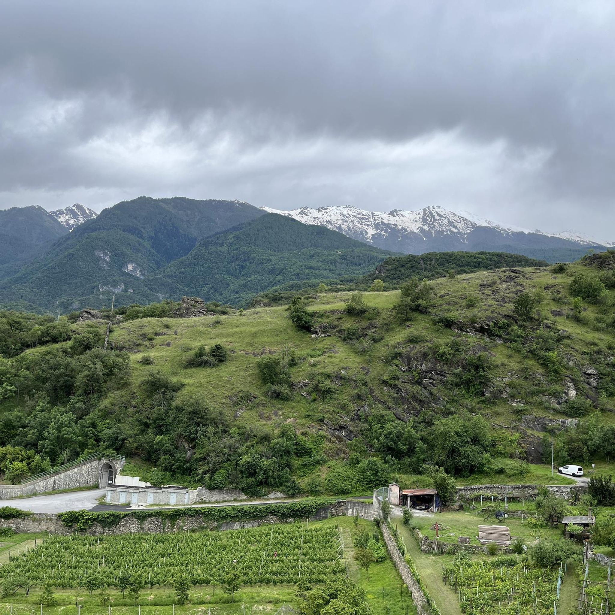
Very very windy, very very scenic with views of Susa
0
0

This bivouac crosses the border between Italy and France. It sleeps 7. We recommend arriving by lunchtime, as it's very popular (especially on weekends; we were once in a group of 15). There's minimal heating and some light thanks to solar panels.
0
0

This cross-border bivouac is located on Italian soil near Col Clapier, near the French border. The easiest way to reach it is from the Piccolo Moncenisio pass, and after Lake Savine, it's another half-hour's trail.
0
0

The Marzo granges, now in ruins, mark the end (or beginning, depending on the direction of travel) of the remarkable former military trail that connected the granges to Bar Cenisio. This trail, with its very regular layout, is one of the many testaments to the construction skills of the military "engineers" in the years between the two world wars and, despite the lack of maintenance, remains passable (even fun downhill on a mountain bike, S1-S2 with a couple of trickier sections). Following the trail uphill, just before reaching the granges, you'll notice the signpost, which seems to appear out of nowhere... shortly after, you'll come across a spectacular balcony, which offers a glimpse of the Mont Cenis and the entire ridge that leads from Lamet to Rocciamelone. To the right, you'll see the lower Susa Valley. It's an ideal place for a break, if it's not too windy; the only drawback is that there's no water. Following the signs for the Avanzà refuge and allowing about twenty minutes, you'll reach the center of a beautiful valley crossed by a stream. The descent to Pra Piano is steep but not difficult. Be careful only in case of thunderstorms, as this section is exposed to lightning!
1
0
The Clarea mills can be reached from the Ramats hamlet of Chiomonte, walking in about an hour along the panoramic path that begins at the western end of the town (with a beautiful view of Rocciamelone) and continuing always halfway up the hill and slightly downhill, until the path, gradually bending to the left, enters the Clarea valley. On the terraces that can be seen along the mountain, chestnut trees and vines were once grown!
0
0
This site, now besieged by brambles, was once (we are talking about 1700...) a very active place for grinding both chestnuts, which here represented a precious source of sustenance, and walnuts, from which oil was obtained. Of the six millstones listed in those years, two currently survive, one of the "vertical" type (with the millstones arranged vertically and rotating around a common axis) and one of the "horizontal" type, of a much more primitive design, with the millstone arranged flat and connected directly to a blade turbine (still in place) that made it turn with the force of the water. It can be difficult to reach the site, but it is still worth both a visit and a reflection to understand how, once upon a time, the economy of this portion of the valley "turned" (literally!)!
0
0

Colle Clapier, located in the Cottian Alps, is a historic Alpine pass that connects Italy and France. At 2,491 meters above sea level, it offers breathtaking views and a route full of history, considered by some scholars to be one of the possible passages crossed by Hannibal during his famous crossing of the Alps.
1
0

Under the trees, the trail is paved in many places. Don’t be impressed by the prickly brambles grown up to the trail from time to time, it is never too long…
0
0
Frequently Asked Questions
How many hiking trails are available around Giaglione?
Giaglione offers a diverse range of outdoor experiences with over 20 hiking routes and 12 highlights to explore. These trails cater to various skill levels, from moderate paths to challenging alpine ascents.
What kind of terrain can I expect when hiking near Giaglione?
The terrain around Giaglione is incredibly varied, situated at the intersection of the Susa Valley, Val Cenischia, and Val Clarea. You'll encounter everything from lush woods and terraced vineyards to high-altitude alpine environments with glacial lakes, sculpted slopes, and dramatic ravines. Expect sweeping vistas of the Susa Valley and challenging mountain passes.
Are there any easier or moderate hiking options in Giaglione?
While Giaglione is known for its challenging alpine routes, there are 8 moderate hiking trails available. These include paths like the Historic military trail to Mont Cenis viewpoint (Route 582A), which offers a rewarding experience without the extreme difficulty of some higher-altitude treks. The Trail of the Monks is another moderate option.
What are some notable natural features or landmarks to see on the trails?
Hikers can discover a wealth of natural and historical landmarks. The region is home to the Orsiera Rocciavrè Natural Park and Gran Bosco Natural Park, featuring glacial lakes and unique forests. You might encounter the Piera Tsarva (bare stone) along the Dora Riparia gorges or find one of the distinctive 'Big Benches' offering unique views. For specific natural attractions, consider visiting the Waterfalls Behind Rifugio Scarfiotti or the Novalesa Waterfall.
Are there any historical routes or trails with significant heritage?
Yes, Giaglione is rich in historical routes. Several trails trace ancient paths, including variations of 'Hannibal's Route' to Col Clapier, where Hannibal is believed to have crossed the Alps. You can explore the Col du Clapier via Hannibal's Route (CAI Route 805) or the In the Footsteps of Hannibal Trail. The Historic military trail to Mont Cenis viewpoint also offers a glimpse into the region's past.
What is the best time of year to go hiking in Giaglione?
Giaglione's unique microclimate allows for outdoor activities year-round, provided there is no snow. Spring brings blooming almond trees and vineyards, while summer offers access to high-altitude passes. Autumn provides stunning foliage. For high-alpine routes, late spring to early autumn is generally best, but lower-elevation trails can be enjoyed for much longer.
Are there any trails suitable for families with children?
While many routes in Giaglione are challenging, shorter, more accessible paths around the hamlets of San Lorenzo, Creusa, and San Rocc offer panoramic views and are generally more suitable for families. These local trails provide a good introduction to the region's beauty without extensive elevation gains.
Can I bring my dog on the hiking trails?
Many trails in the Giaglione area are dog-friendly, allowing you to enjoy the natural beauty with your canine companion. However, always check local regulations for specific natural parks or protected areas, as some may have restrictions on dogs, especially concerning wildlife protection. Keep your dog on a leash and ensure you clean up after them.
Are there any circular hiking routes around Giaglione?
Yes, the region offers several loop hikes that allow you to start and end in the same location, providing a convenient way to explore. These routes often pass through charming hamlets and offer diverse scenery, from wooded paths to open vistas. Check individual route details on komoot for specific circular options.
What do other hikers enjoy most about hiking in Giaglione?
The komoot community rates the trails in Giaglione highly, with an average score of 4.5 stars from over 1500 reviews. Hikers frequently praise the panoramic Susa Valley views, the challenge of the alpine passes, and the beauty of the protected natural parks. The historical significance of routes like 'Hannibal's Route' is also a popular highlight.
Are there any mountain peaks or summits I can hike to?
Yes, the region provides access to stunning high-altitude areas. You can aim for the Rocciamelone Summit for a challenging ascent and incredible views. Other notable peaks and historical sites include Fort Gran Serin and Four Teeth Peak, offering both natural beauty and historical interest.
Most popular routes around Giaglione
Most popular attractions around Giaglione

Get inspired with the komoot mobile app


Explore more
Browse the best Hikes in other regions.
