The best MTB trails in the Sistema Ibérico Mountains
4.6
(437)
7,187
riders
616
rides
Mountain biking in the Sistema Ibérico Mountains offers access to a vast system of mountain ranges characterized by high and rugged peaks, impressive massifs, and diverse landscapes. The terrain is sculpted by ancient glaciers, featuring dense pine forests and varied ecosystems. This region provides an extensive network of trails, from ancient paths to purpose-built routes, catering to different skill levels.
Best mountain bike trails in the Sistema Ibérico Mountains
- The most popular mountain bike trail is La Tronchaberezos Trail,…
Last updated: July 7, 2026
5.0
(2)
49
riders
40.3km
03:56
770m
770m
Hard mountain bike ride. Good fitness required. Advanced riding skills necessary. Some portions of the route may require you to push your bike.
5.0
(1)
37
riders
48.7km
04:37
1,210m
1,210m
Hard mountain bike ride. Very good fitness required. Advanced riding skills necessary.

Sign up for free
5.0
(1)
20
riders
38.7km
03:30
660m
660m
Moderate mountain bike ride. Good fitness required. Advanced riding skills necessary.
4.5
(2)
3
riders
39.2km
04:10
1,140m
1,140m
Hard mountain bike ride. Very good fitness required. Advanced riding skills necessary. Some portions of the route may require you to push your bike.
4.5
(2)
9
riders
33.4km
02:39
410m
410m
Moderate mountain bike ride. Good fitness required. Advanced riding skills necessary.
9
riders
37.6km
04:04
1,420m
1,420m
Hard mountain bike ride. Very good fitness required. Advanced riding skills necessary. Some portions of the route may require you to push your bike.
5.0
(2)
8
riders
61.1km
05:35
1,120m
1,120m
Hard mountain bike ride. Very good fitness required. Advanced riding skills necessary.
2
riders
44.0km
04:12
1,320m
1,320m
Hard mountain bike ride. Very good fitness required. Advanced riding skills necessary.
2
riders
35.3km
03:08
750m
750m
Moderate mountain bike ride. Good fitness required. Suitable for all skill levels.
5.0
(1)
6
riders
34.7km
02:54
750m
750m
Moderate mountain bike ride. Good fitness required. Advanced riding skills necessary.
Get access to more routes and recommendations from other explorers.
Sign up for free
Already have an account?
Our route recommendations are based on thousands of hikes, rides, and runs completed by other people on komoot.
Start today with a free account
Your next adventure awaits.
Login or Signup
Popular around Sistema Ibérico Mountains
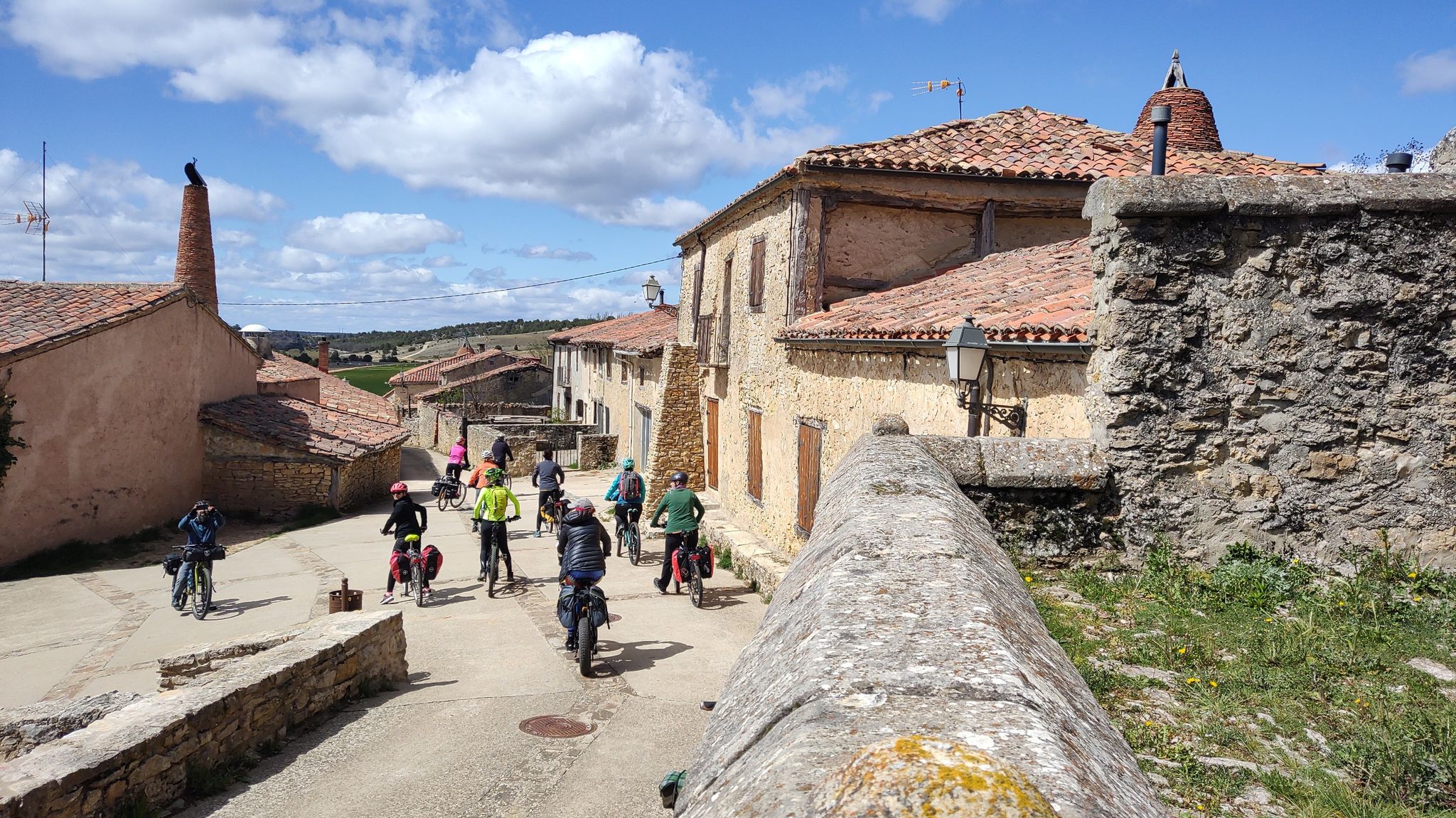
Millennial treasures on pedals – Romanesque art of Soria by MTB
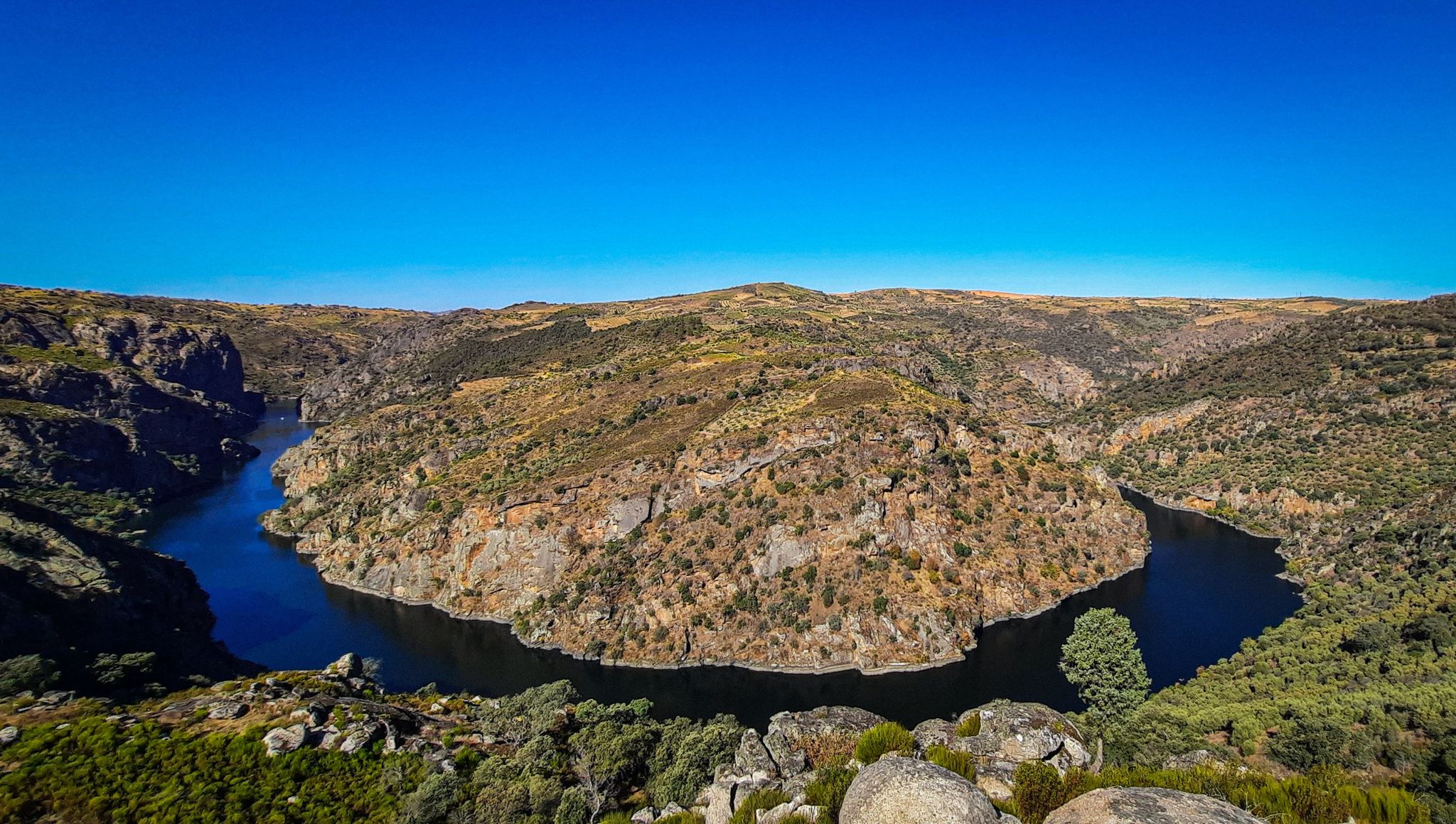
The Great Castilian River – Duero MTB Trail
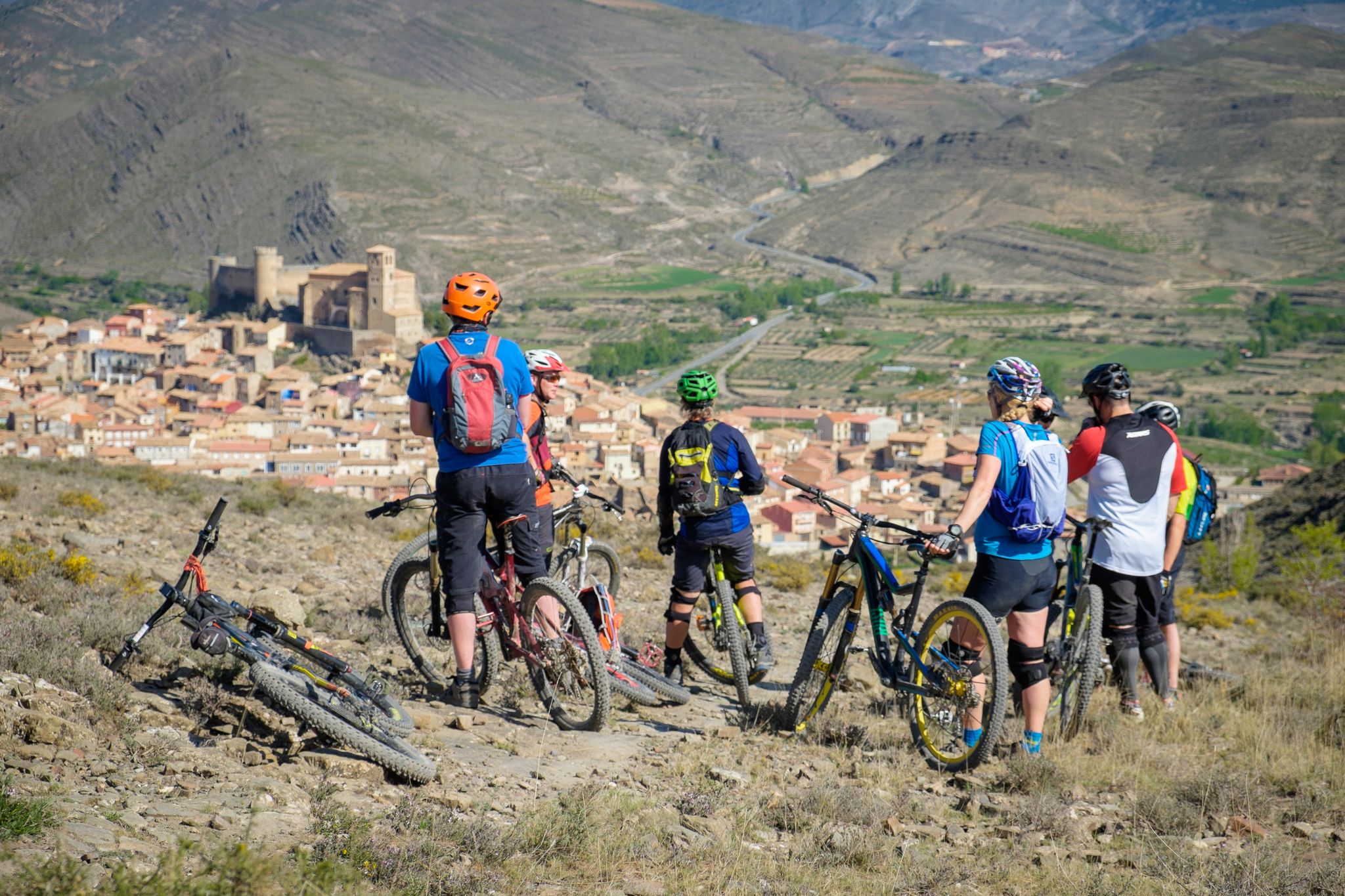
Mountains, valleys and trails in La Rioja – GR 93 by e-bike
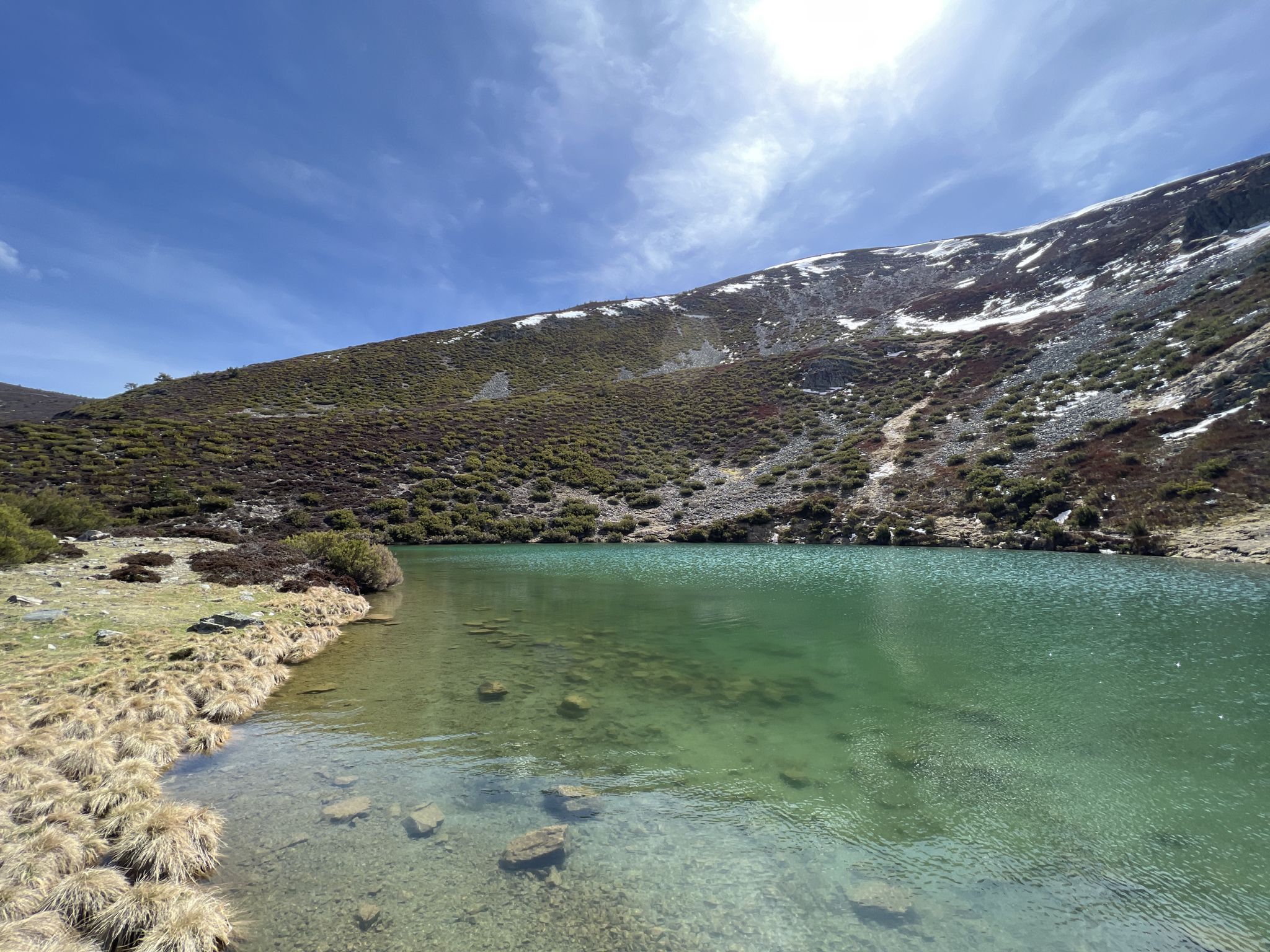
Discover the unknown Burgos - Dos Aguas Trail (GR 290)
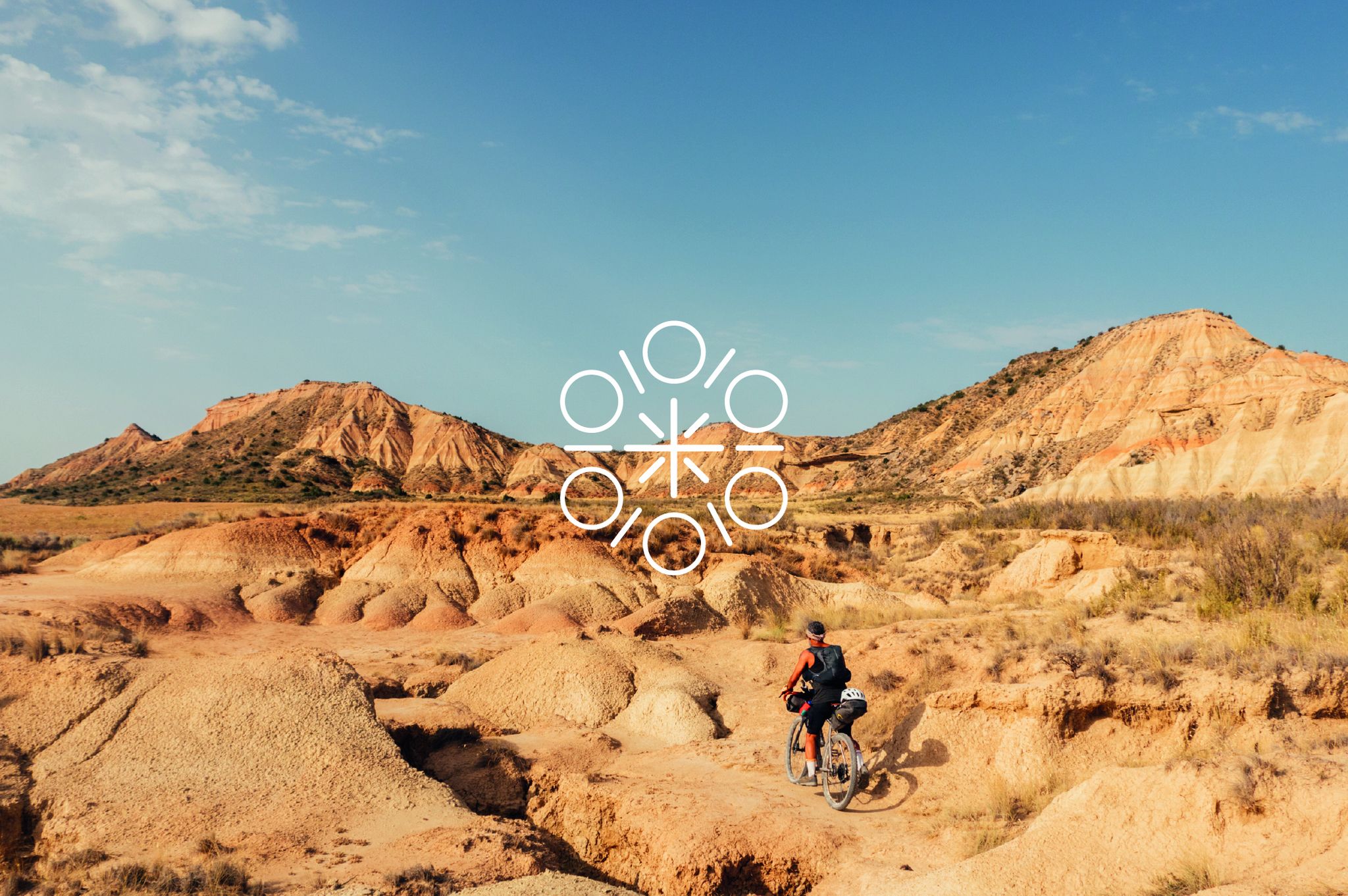
Zazpiak Bat Packing – a cycling adventure in the Basque Country
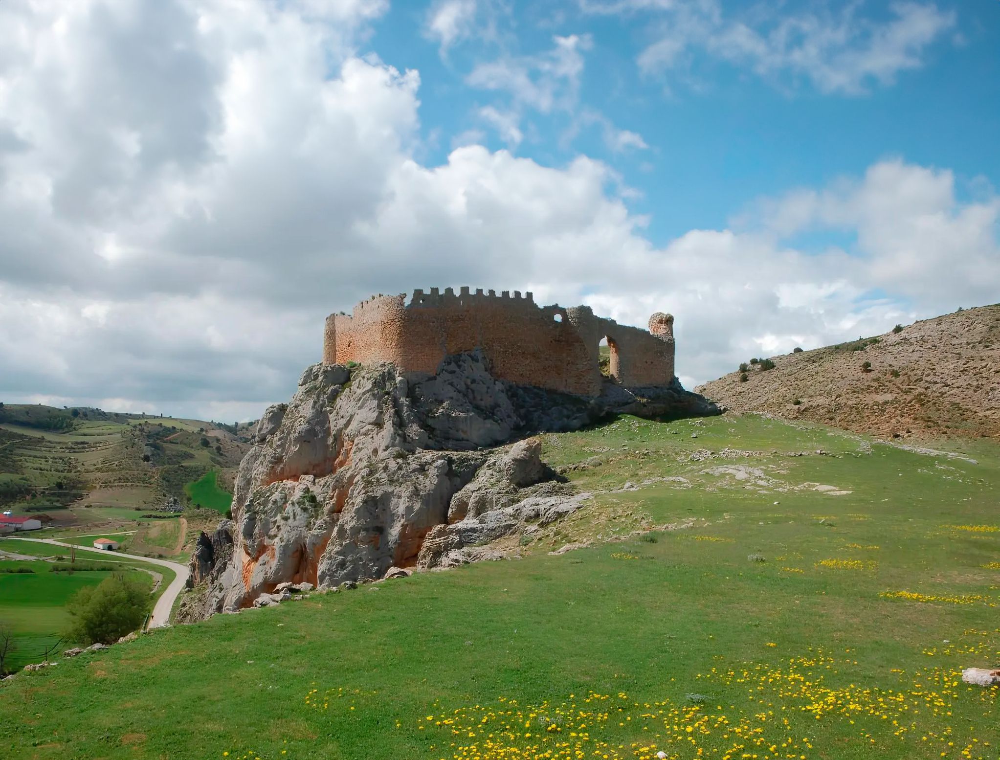
Around the Spanish province of Soria - Sendero Ibérico Soriano (GR 86)
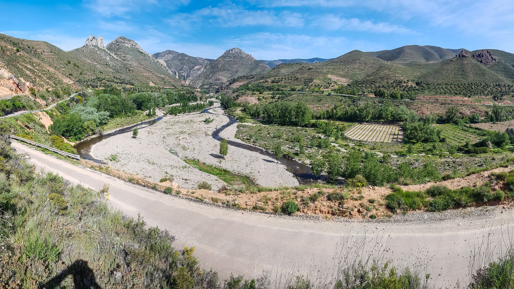
Orchards and karst peaks in La Rioja – Cidacos Greenway
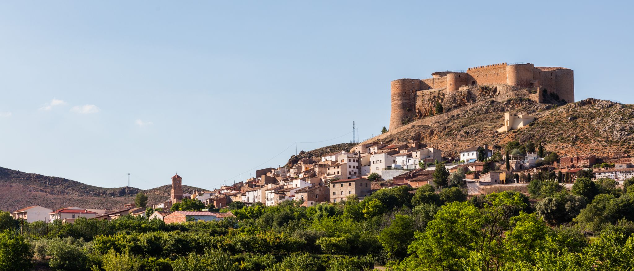
Moncayo to Daroca – Iberian Zaragoza Path (GR 90)
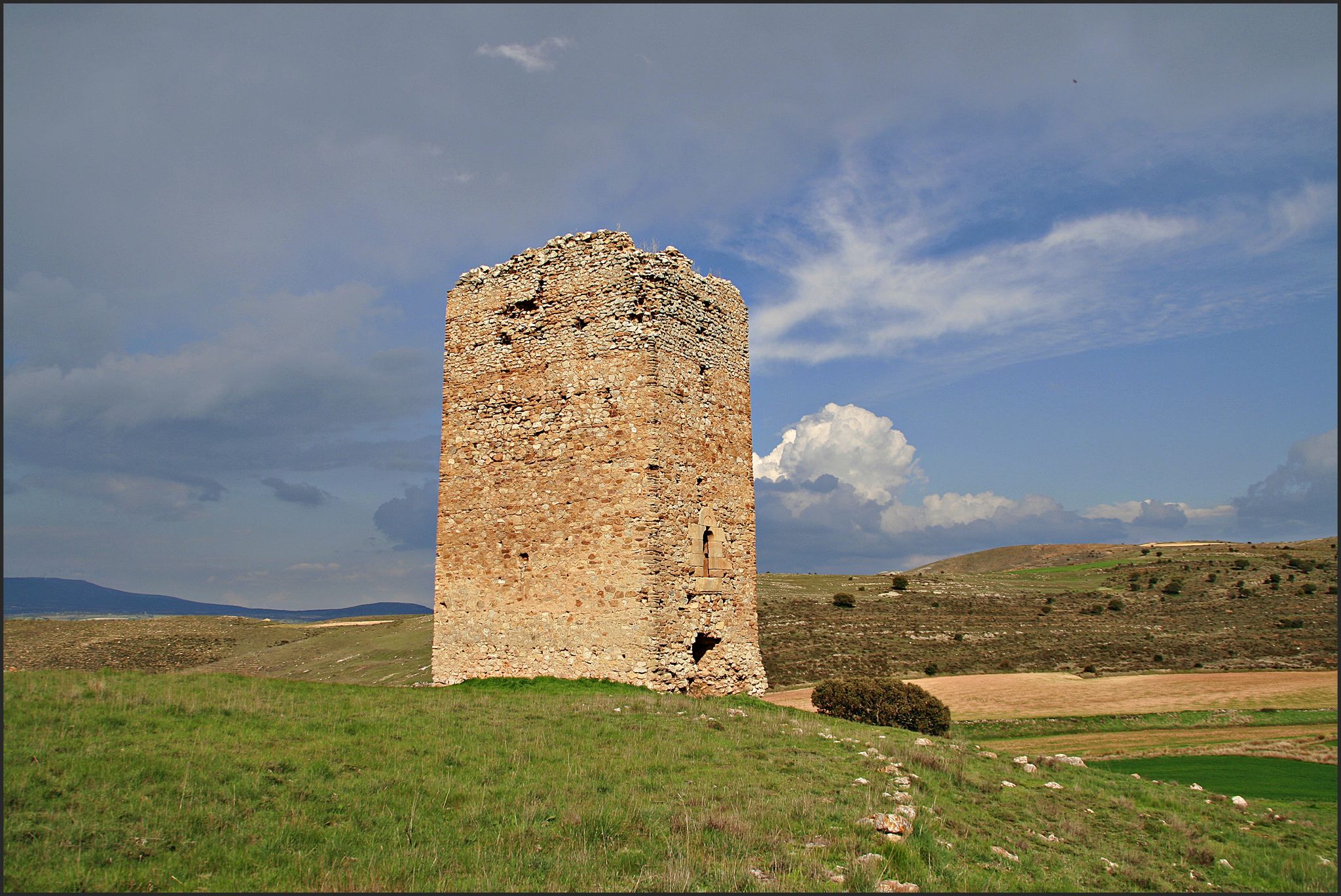
The Duero to the Ebro – Soriano Water Natural Trail
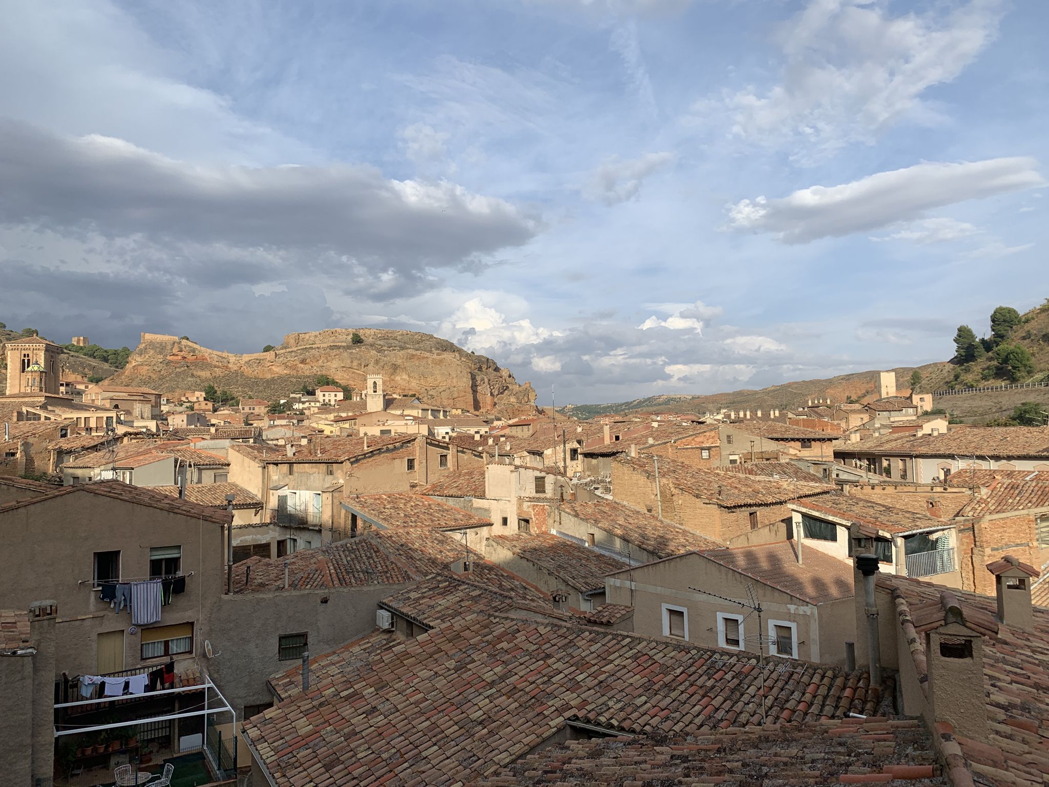
18th-century gravel – Camino Real de Aragón from Madrid
Other adventures in the Sistema Ibérico Mountains


Tips from the Community

The Monastery of San Millán de la Cogolla is a place of great importance in the La Rioja region of Spain. Founded in the 6th century AD by Saint Millán, this monastery has a rich history and a special connection with the Castilian language.
3
0

Crossroads between the Valdemadera peak, the Tiermas valley and Cerro del Espino
0
0

Beautiful hill located in the middle of a long trail.
0
0
A mountain pass with beautiful views of the Aljairén mountain range. It can be accessed via a well-maintained forest trail that ends at the pass, and then there are several trails to continue. The pass can also be accessed via a very long trail.
0
0
The summit of Moncayo, also known as Pico San Miguel, is the highest mountain in the Iberian system, with an altitude of 2315 metres. It is located between the provinces of Zaragoza (Aragon) and Soria (Castile and Leon) in Spain. To reach the summit, many hikers start from the Sanctuary of the Virgin of Moncayo, located at 1621 metres. From there, the route passes through the Cucharón cirque and the San Miguel basin before reaching the summit. The route offers spectacular views and is especially popular in spring and summer.
5
0

Nice area for mountain biking
0
0
Nice area for mountain biking
0
0
Nice area for mountain biking
0
0
Frequently Asked Questions
How many mountain bike trails are available in the Sistema Ibérico Mountains?
The Sistema Ibérico Mountains offer a wide array of mountain biking opportunities, with over 600 routes available on komoot. These trails cater to various skill levels, from easy gravel paths to challenging climbs with significant elevation gains.
What kind of terrain can I expect when mountain biking in the Sistema Ibérico Mountains?
You can expect highly diverse terrain, ranging from rugged peaks and eroded landscapes to dense pine forests and ancient glacial features. Many trails follow historic paths, offering a mix of unpaved and sometimes difficult segments, alongside smoother sections. The region's varied geography ensures a dynamic riding experience.
Are there mountain bike trails suitable for beginners or families in the Sistema Ibérico Mountains?
Yes, the Sistema Ibérico Mountains offer trails suitable for various skill levels, including easier options. There are 43 easy routes available, providing gentler gradients and less technical terrain, perfect for beginners or families looking for a more relaxed ride. For example, the Sad Hill Cemetery Loop from Salas de los Infantes is a moderate route that offers a scenic ride without extreme difficulty.
What are some challenging mountain bike trails for experienced riders?
Experienced mountain bikers will find plenty of challenging routes in the Sistema Ibérico Mountains, with 252 difficult trails available. These often feature significant elevation gains and technical sections. Consider the Arnedo, Préjano - circular via Senda de los Cuñaos, which includes over 1,100 meters of ascent, or the Moncayo Summit Loop, known for its demanding climbs and panoramic views.
Are there any circular mountain bike routes in the Sistema Ibérico Mountains?
Many mountain bike routes in the Sistema Ibérico Mountains are designed as circular loops, allowing you to start and finish at the same point. For instance, the Sierra de Algairén — circular desde Cosuenda offers a moderate circular ride, while the Sierra Cebollera and Acebal de Garagüeta Loop provides a more challenging circular experience through diverse landscapes.
What natural features or landmarks can I see along the mountain bike trails?
The Sistema Ibérico Mountains are rich in natural beauty and historical landmarks. You can encounter impressive massifs like the Moncayo Summit, explore glacial lagoons in areas like the Picos de Urbión, or visit the Source of the Duero River. Historical sites such as Clavijo Castle and the Monasterio de Santo Domingo de Silos are also accessible, offering cultural insights amidst your ride.
What is the best time of year to go mountain biking in the Sistema Ibérico Mountains?
The Sistema Ibérico Mountains generally offer favorable conditions for mountain biking, particularly in areas like Campo de Daroca, which experience minimal wind or rain. While specific seasonal advice depends on the exact location and altitude, spring and autumn typically provide pleasant temperatures and vibrant scenery. Higher altitude trails might be best enjoyed in summer to avoid snow, while lower routes are accessible for longer periods.
Are there any specific bike parks or dedicated mountain biking areas?
Yes, the region is developing infrastructure for cyclists. Projects like Iberica Bike & Trail are enhancing the network of routes. You can also find specific trails within areas known for mountain biking, such as La Resentida Trail or Cerro 1800 Trail, which are part of dedicated bike park areas.
What do other mountain bikers enjoy most about the Sistema Ibérico Mountains?
The Sistema Ibérico Mountains are highly rated by the komoot community, with an average score of 4.6 stars from over 400 reviews. Mountain bikers frequently praise the region's diverse landscapes, the extensive network of trails catering to all abilities, and the opportunity to explore ancient paths and natural parks. The combination of rugged peaks, dense forests, and historical sites makes for a unique and rewarding experience.
Are there any long-distance mountain bike routes in the Sistema Ibérico Mountains?
Yes, the Sistema Ibérico Mountains offer several longer routes for those seeking extended adventures. For example, the Sierra Cebollera and Acebal de Garagüeta Loop covers over 61 kilometers, providing a significant challenge and a full day's ride through varied terrain and ecosystems.
Can I bring my dog on the mountain bike trails?
While many natural areas in Spain are dog-friendly, it's always recommended to check specific park regulations or local signage for each trail. Generally, dogs are welcome on trails if kept on a leash, especially in natural parks to protect wildlife. Ensure your dog is fit for the distance and terrain, and always carry enough water for both of you.
Is public transport available to reach mountain bike trailheads?
Access to trailheads by public transport can vary significantly across the vast Sistema Ibérico Mountains. While some larger towns might have bus connections, many trailheads in more remote areas are best reached by car. It's advisable to research specific routes and their starting points to determine the most convenient transport options.
Most popular routes in the Sistema Ibérico Mountains
Most popular attractions in the Sistema Ibérico Mountains

Get inspired with the komoot mobile app


Explore more
Browse the best MTB trails in other regions.
