The best mountain hikes in the Sistema Ibérico Mountains
15
hikers
4
hikes
Mountaineering in the Sistema Ibérico Mountains is characterized by high and rugged peaks, diverse ecosystems, and significant elevation changes. The region features prominent peaks like Moncayo, standing at 2,316 meters (7,598 feet), alongside glacial formations such as cirques and lakes in areas like the Picos de Urbión. Extensive pine, oak, and juniper forests cover lower altitudes, transitioning to alpine meadows and rocky cliffs at higher elevations. Deep canyons and river gorges, sculpted by rivers like the Tajo and Júcar, are…
Last updated: July 3, 2026
10
hikers
14.6km
06:20
1,110m
1,110m
Hard mountaineering route. Very good fitness required. Mostly accessible paths. Sure-footedness required.
3
hikers
6.14km
02:34
480m
480m
Moderate mountaineering route. Good fitness required. Easily-accessible paths. Suitable for all skill levels.

Sign up for free
1
hikers
Moderate mountaineering route. Good fitness required. Easily-accessible paths. Suitable for all skill levels.
1
hikers
9.98km
03:57
720m
730m
Moderate mountaineering route. Good fitness required. Easily-accessible paths. Suitable for all skill levels.
Our route recommendations are based on thousands of hikes, rides, and runs completed by other people on komoot.
Start today with a free account
Your next adventure awaits.
Login or Signup
Popular around Sistema Ibérico Mountains
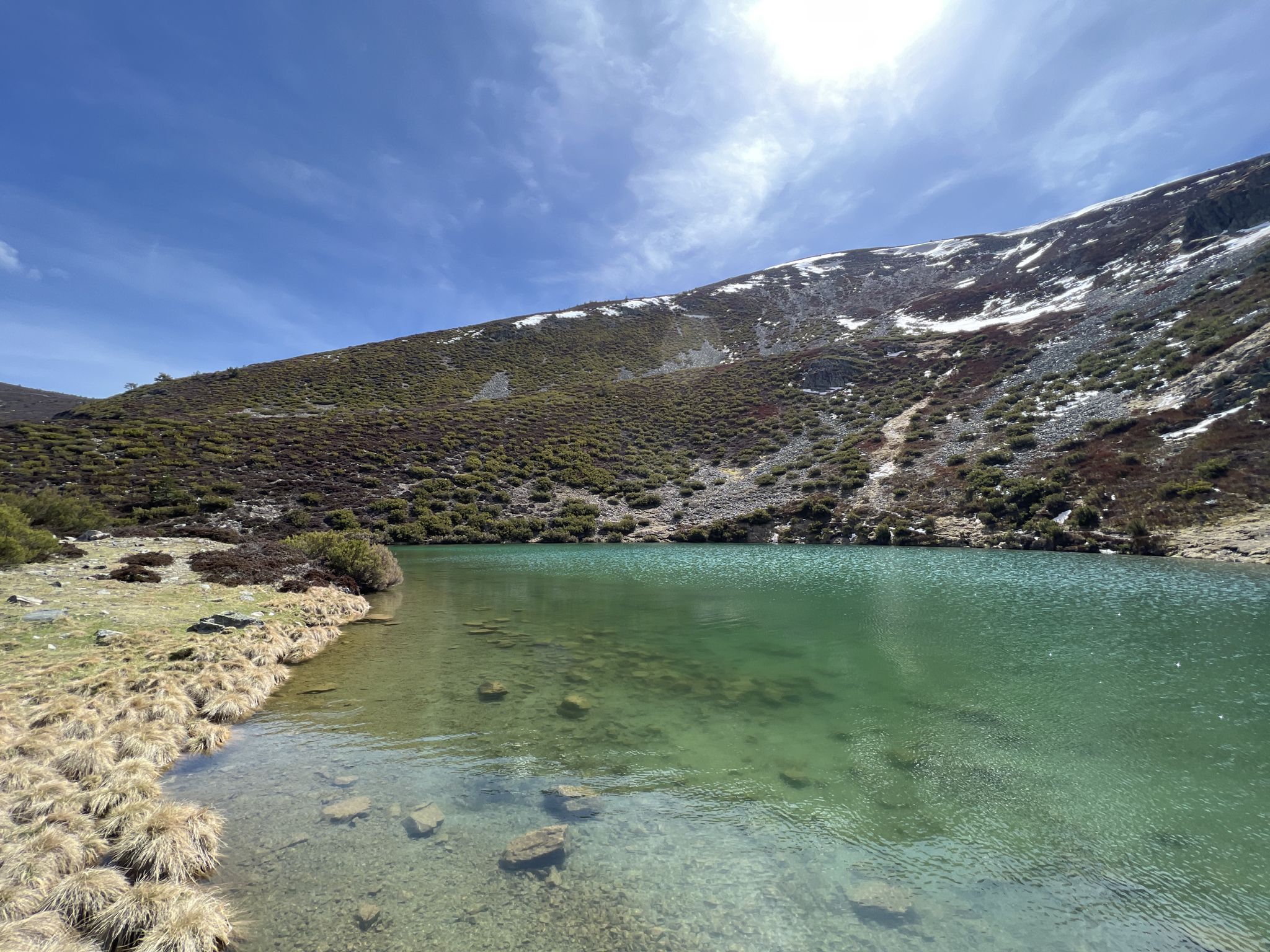
Discover the unknown Burgos - Dos Aguas Trail (GR 290)
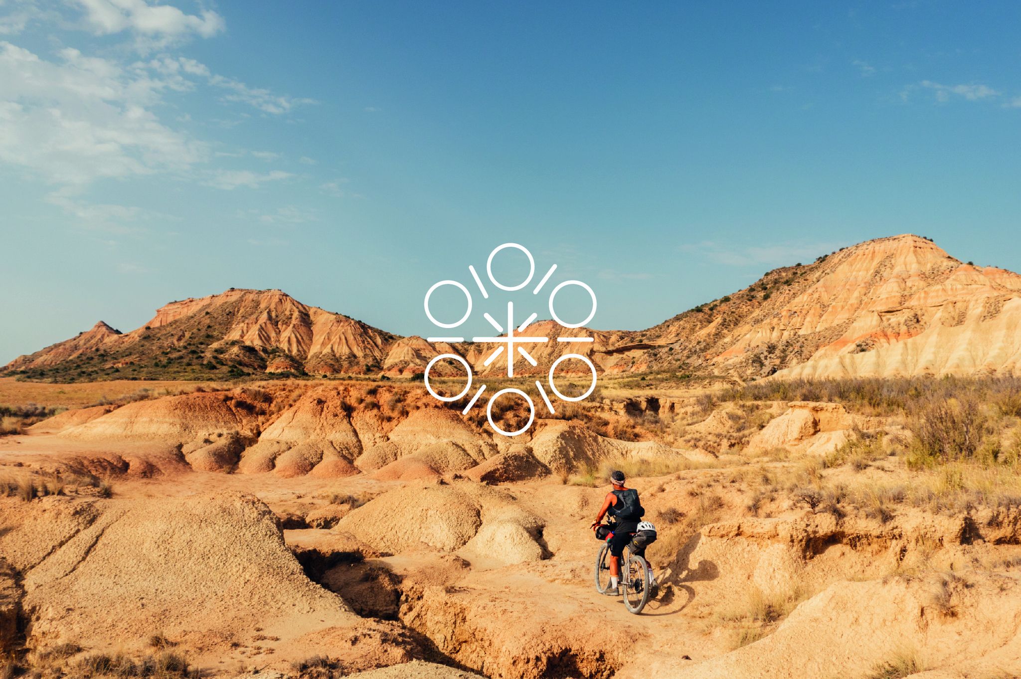
Zazpiak Bat Packing – a cycling adventure in the Basque Country
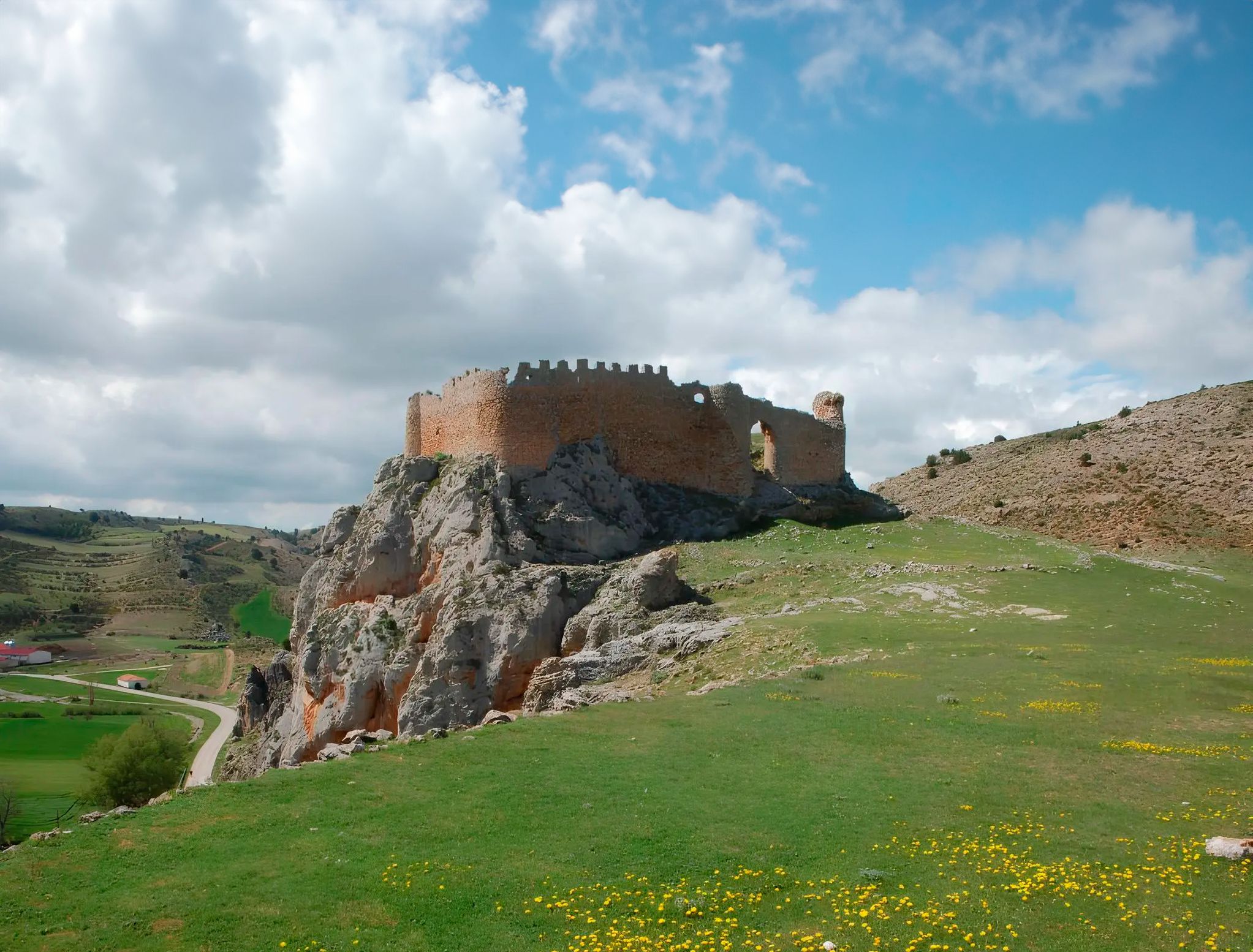
Around the Spanish province of Soria - Sendero Ibérico Soriano (GR 86)
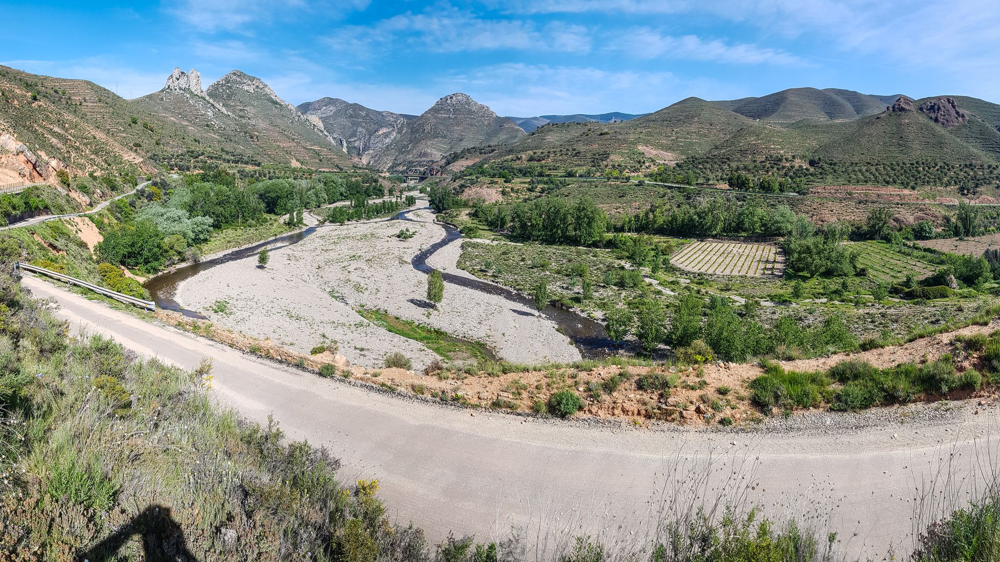
Orchards and karst peaks in La Rioja – Cidacos Greenway
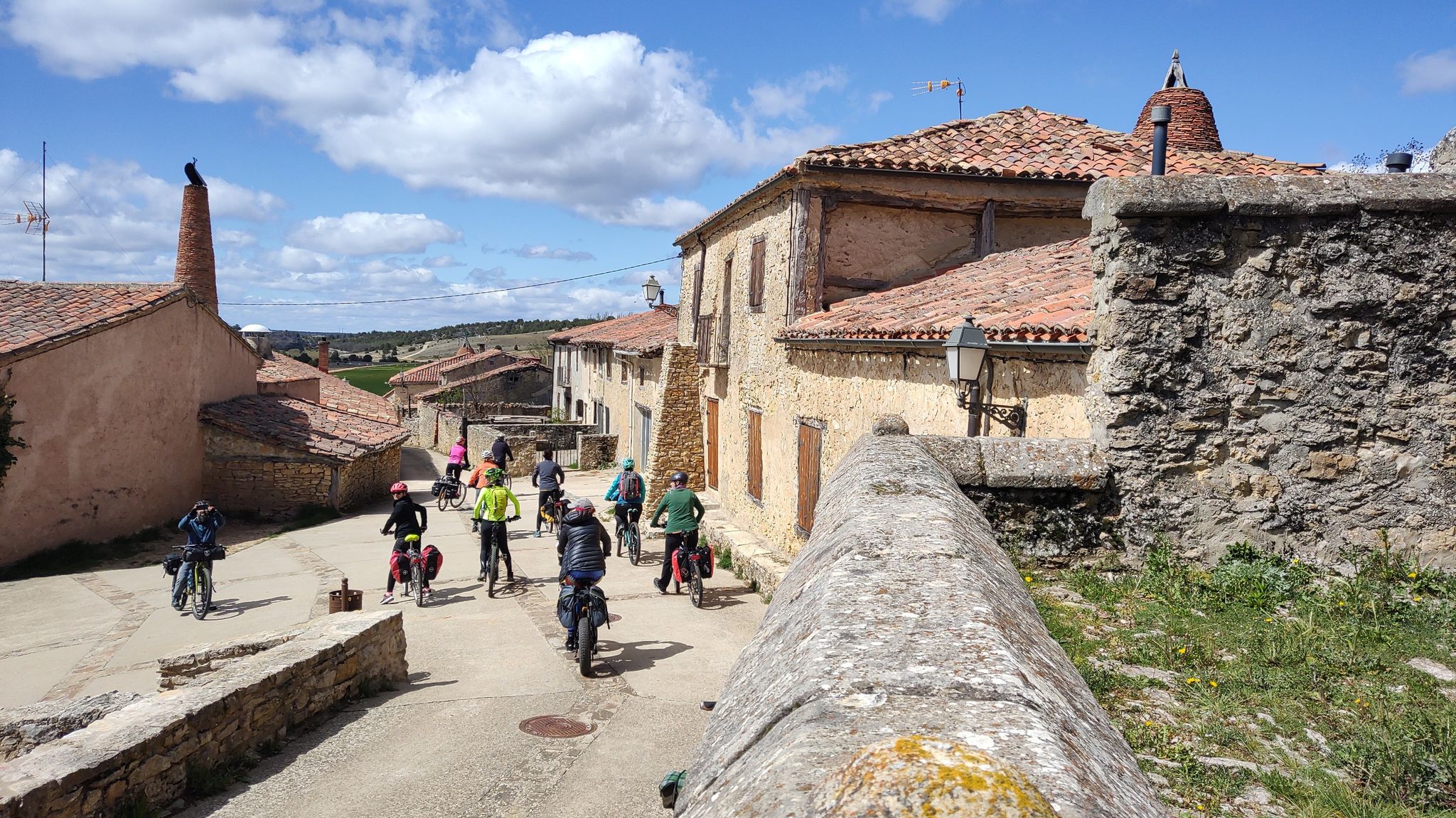
Millennial treasures on pedals – Romanesque art of Soria by MTB
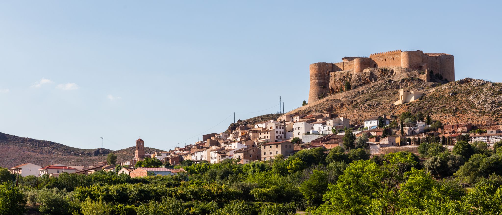
Moncayo to Daroca – Iberian Zaragoza Path (GR 90)
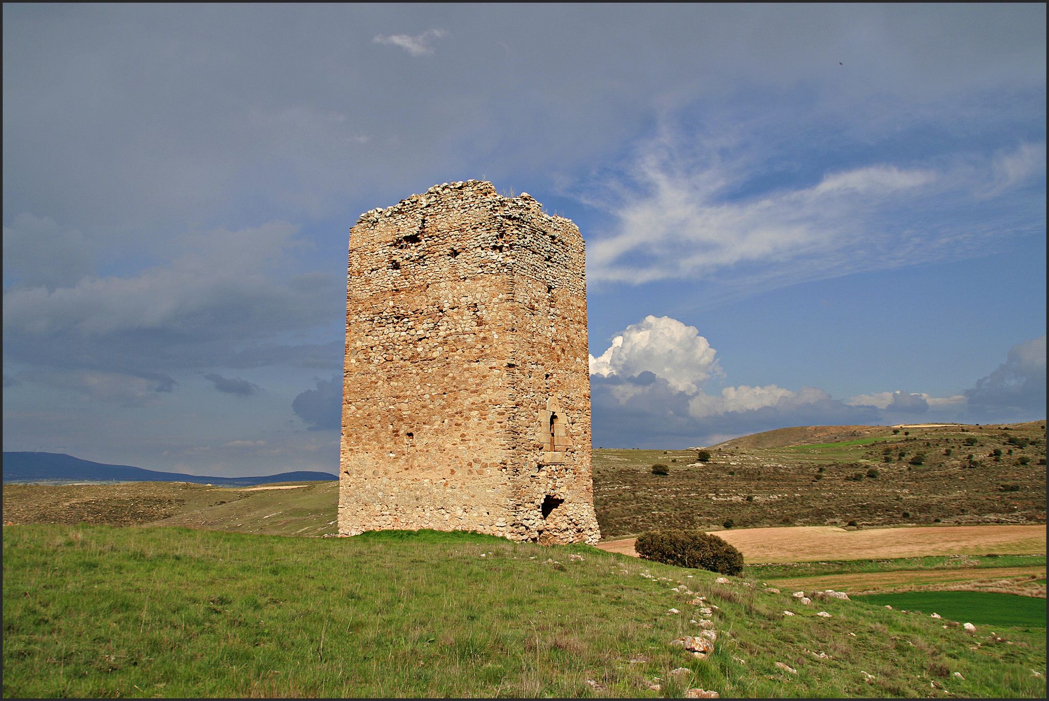
The Duero to the Ebro – Soriano Water Natural Trail
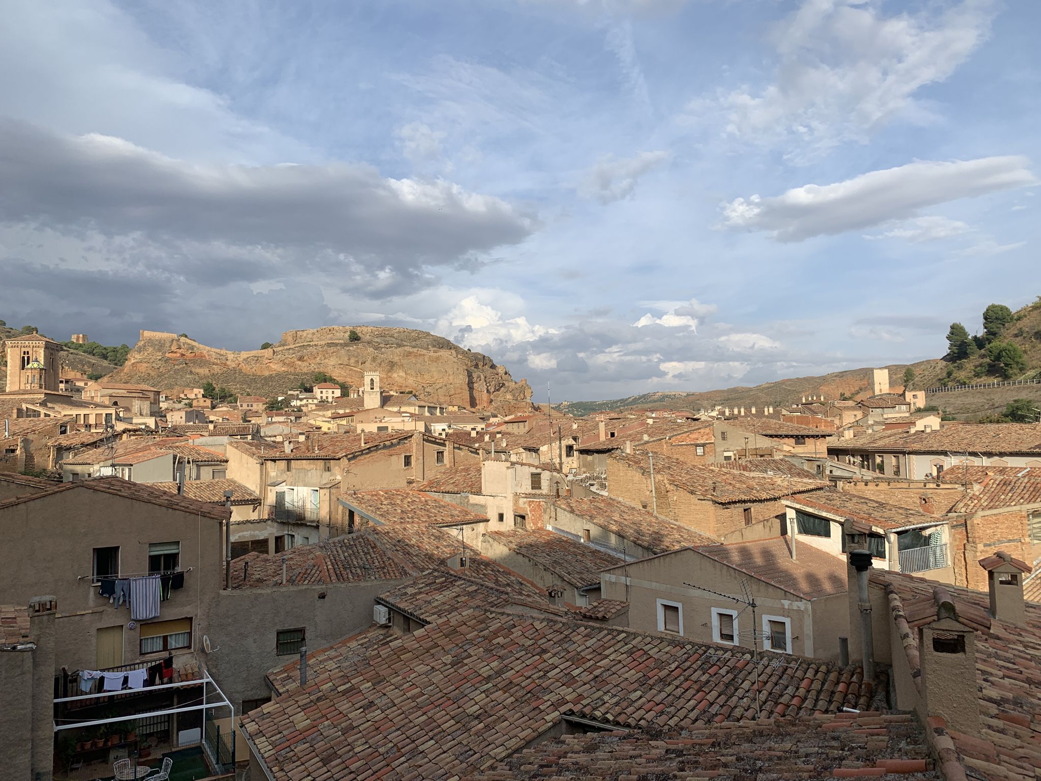
18th-century gravel – Camino Real de Aragón from Madrid
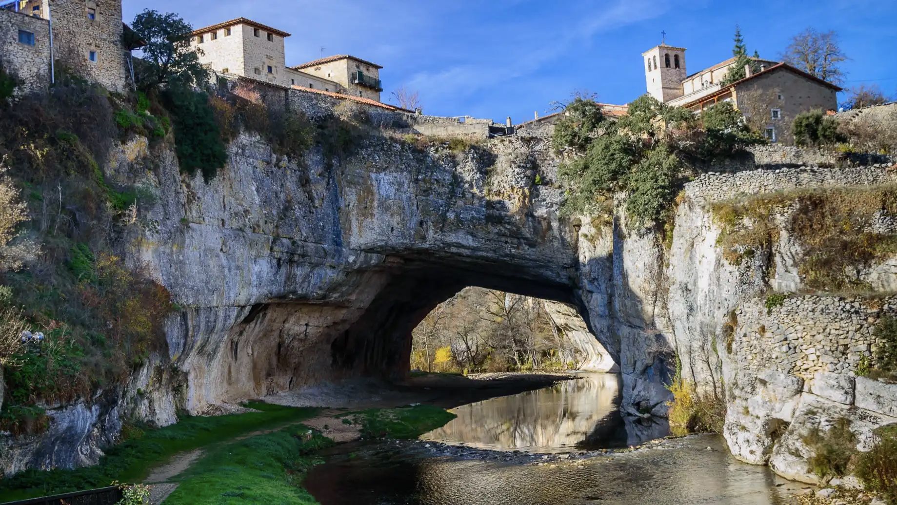
An epic getaway – Santander-Mediterráneo Nature Trail
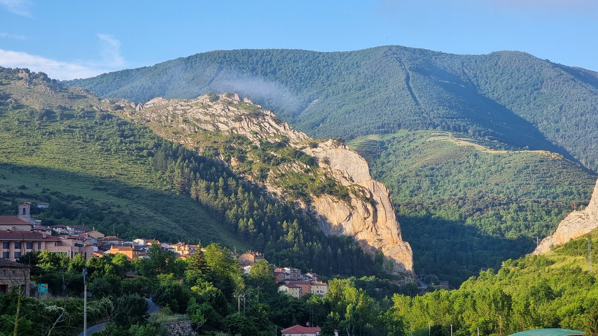
Passes and dinosaur footprints – Spain’s Sierras Riojanas (GR 93)
Other adventures in the Sistema Ibérico Mountains


Tips from the Community

Spectacular area for hiking routes
0
0
a highly recommended area for hiking.
0
0

There are many routes, both easy and difficult, to choose from. The Sierra is very beautiful, especially in autumn.
0
0

The path leaves El Portillo on the east side, goes up a few meters along a channel and enters the north side. If the mountain has snow, this section is dangerous because the cold and shady conditions keep the path icy and the fall is fatal; crampons and ice axes would be essential. The alternative is to climb directly along the channel on the east face, with less slope, sunnier and direct to the summit of San Millán (2,131 m), also called El Torruco. At the top there is a small circular stone tower adorned with a metal house and other festival motifs left by mountaineers. The southern slope of the mountain is a large mass of gentle slopes with no remains of glacial activity towards the valley of the Arlanzón River. The descent continues along the west face, enjoying extraordinary views of the Urbión River valley and the glacial cirque where the San Millán lagoon appears half frozen.
0
0
The Zarcia Recreational Zone is 2.8 kilometers from Santa Cruz del Valle Urbión along a dirt track suitable for cars, there are some potholes but with care they do not present problems. At the entrance to the picnic areas there is room for three or four cars and 150 meters before arriving there is space for many more. The route begins along the main path of the Urbión River valley, passes through a detour and after one kilometer the Altuzarra waterfalls path appears on the right, which is the return route. The path does not present orientation complications, it follows the course of the water to the head of the valley. In several sections you have to cross the riverbed or walk along the small islands that the torrent forms when there is a lot of flow, always among beech trees, holly trees, yew trees and the riverside scrub that seeks the humidity and wild environment of the glacial valley. Some reference points are the Refugio de Laguarra cabin and shortly after the crossroads where the Mirador de Domingo Sevilla trail leaves on the right, which is also a shortcut to get directly to the Altuzarra waterfalls without passing through the summit of the mountain. . On the opposite bank of the ravine is the “most famous beech tree in Burgos”, as indicated by a sign stuck on a stone near the monumental tree.
0
0

From the top of Pico Mencilla, you can see Pico Trigaza and San Millan
1
0

Small mountain village. Picturesque. There is a nice café here for a break. There aren't really many cafes here. So you should stop by.
2
0
Really a nice photo opportunity. In the village is a nice little café ideal for a break.
2
0
Frequently Asked Questions
How many mountaineering routes are available in the Sistema Ibérico Mountains?
There are 7 mountaineering routes currently available in the Sistema Ibérico Mountains, offering a range of experiences from moderate to difficult ascents.
What is the best time of year for mountaineering in the Sistema Ibérico Mountains?
The Sistema Ibérico Mountains offer diverse conditions throughout the year. While summer provides warmer temperatures for higher alpine meadows, spring and autumn can be ideal for enjoying the extensive pine, oak, and juniper forests. For routes involving higher peaks like Moncayo or Picos de Urbión, be prepared for snow and ice, especially outside of peak summer months, as remnants of Quaternary glaciation are evident.
Are there any challenging mountaineering routes for experienced climbers?
Yes, for experienced mountaineers, the San Millán (2,131 m) – Zarcia Recreation Area loop from Refugio de Zárcia is a difficult 14.6 km route with over 1,100 meters of elevation gain, typically taking around 6 hours 20 minutes to complete. This route offers a demanding ascent to a significant peak.
Can I find family-friendly mountaineering options in the Sistema Ibérico Mountains?
While many routes involve significant elevation, some moderate options can be suitable for families with older children or those accustomed to hiking. For example, the Campo de los Corros – Mencilla loop from Valle del Sol is a moderate 6.1 km trail that can be completed in about 2 hours 34 minutes, offering a taste of the mountain landscapes without extreme difficulty.
Are there any circular mountaineering routes in the Sistema Ibérico Mountains?
Yes, many of the mountaineering routes in the Sistema Ibérico Mountains are circular, allowing you to start and end at the same point. Examples include the Monte San Lorenzo loop from Estación de esquí de Valdezcaray, a moderate 9.6 km route, and the Alto de la Campiña loop from Peña Aguda, which is 7.9 km long.
What natural features or landmarks can I expect to see along the routes?
The Sistema Ibérico Mountains are rich in natural beauty. You can encounter high and rugged peaks, diverse ecosystems ranging from Mediterranean forests to alpine meadows, and impressive glacial formations like those around the Picos de Urbión, including the famous Laguna Negra. Some routes may also lead you past significant mountain passes such as Portillo of the Laguna Negra de Soria or Alto de Pradilla.
Are there places to stay or eat near the mountaineering trails?
Yes, in certain areas, you can find facilities. For instance, near the Moncayo Massif, you might find options like the Santuario del Moncayo Restaurant and Hostel. There are also shelters like Bonicaparra Shelter and recreation areas such as Bonicaparra Recreation Area that can serve as bases for your adventures.
What is the general difficulty level of mountaineering in this region?
Mountaineering in the Sistema Ibérico Mountains offers a range of difficulties. While there are no easy routes listed, you'll find several moderate options, such as the Campo de los Corros – Mencilla loop from Pineda de la Sierra (11.1 km), and more difficult ascents like the San Millán (2,131 m) – Zarcia Recreation Area loop from Refugio de Zárcia. The terrain often involves significant elevation changes and rugged paths.
What do other mountaineers say about the Sistema Ibérico Mountains?
The Sistema Ibérico Mountains are highly regarded by the komoot community, with an average rating of 5.0 stars from 1 review. Mountaineers often praise the region's high and rugged peaks, diverse ecosystems, and the rewarding challenge of its ascents. The varied terrain, from extensive forests to rocky ridges, provides stunning views and a rich outdoor experience.
Are there any routes that explore the glacial lakes or formations?
The Picos de Urbión area, known for its rugged terrain and glacial lakes, is a prime location for exploring these features. While specific routes to these lakes are not detailed in the current selection, the region research highlights impressive glacial lagoons like Laguna Larga and the famous Laguna Negra in the Urbión Mountains, which are key attractions for mountaineers in the Sistema Ibérico.
Are there any routes that start from Pineda de la Sierra?
Yes, there are a couple of moderate routes that start from Pineda de la Sierra. You can explore the Campo de los Corros – Mencilla loop from Pineda de la Sierra, which is 11.1 km long, or the Campo de los Corros – Cabeza Plantizo loop from Pineda de la Sierra, covering 9.5 km.
Most popular routes in the Sistema Ibérico Mountains
Most popular attractions in the Sistema Ibérico Mountains

Get inspired with the komoot mobile app


