The best walks and hikes around Sils im Domleschg
4.6
(2598)
19,734
hikers
572
hikes
Hiking trails around Sils im Domleschg traverse a diverse landscape in the Viamala Region of Graubünden, Switzerland. The area is characterized by significant forest cover, agricultural lands, and the Albula and Hinterrhein rivers. A prominent natural feature is the Viamala Gorge, a deeply cut canyon with towering rock walls. Hikers can also explore high plateaus and historical sites.
Best hiking trails in Sils im Domleschg
- The most popular hiking route is Hiking trophy: in the footsteps of the Romans along…
Last updated: June 24, 2026
4.9
(73)
304
hikers
10.7km
04:03
580m
340m
Hard hike. Good fitness required. Sure-footedness, sturdy shoes and alpine experience required.
4.7
(31)
142
hikers
8.03km
02:54
410m
240m
Hard hike. Good fitness required. Sure-footedness, sturdy shoes and alpine experience required.

Sign up for free
4.7
(23)
101
hikers
7.14km
02:31
320m
150m
Hike the difficult Veia Traversina Trail through the Viamala Gorge, featuring the Traversinersteg bridge and historical sites.
4.9
(20)
73
hikers
5.27km
01:42
250m
80m
Hard hike. Great for any fitness level. Sure-footedness, sturdy shoes and alpine experience required.
4.5
(19)
77
hikers
Moderate hike. Good fitness required. Mostly accessible paths. Sure-footedness required.
Get access to more routes and recommendations from other explorers.
Sign up for free
Already have an account?
Our route recommendations are based on thousands of hikes, rides, and runs completed by other people on komoot.
Start today with a free account
Your next adventure awaits.
Login or Signup
Popular around Sils im Domleschg
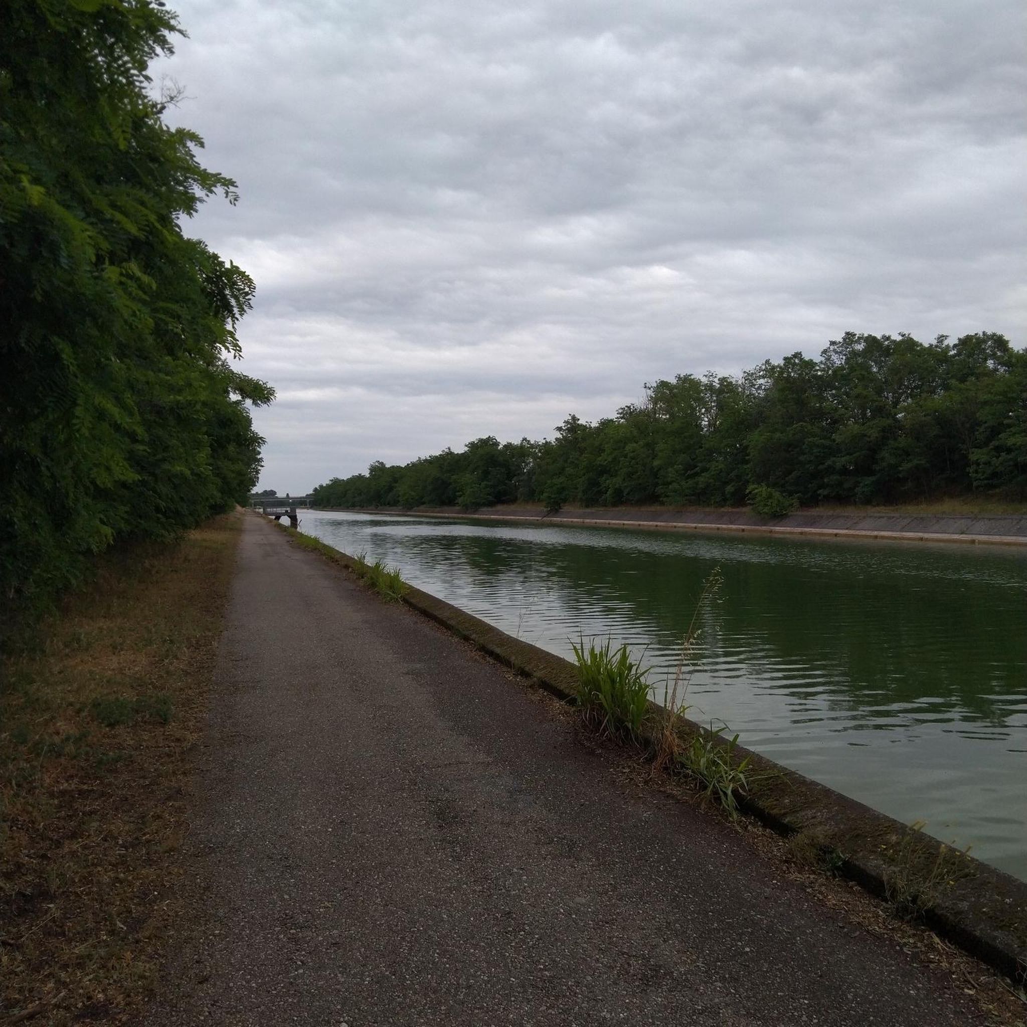
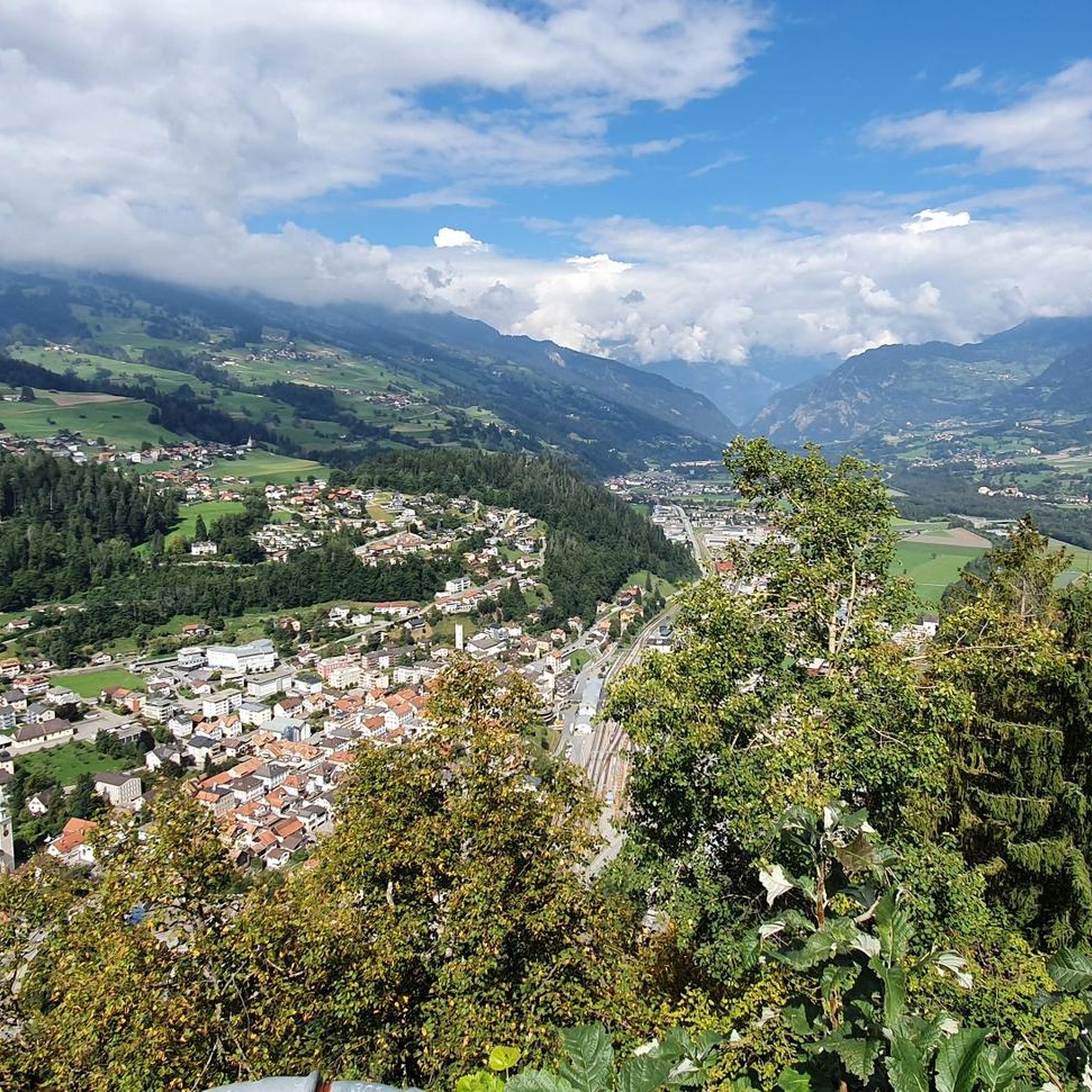
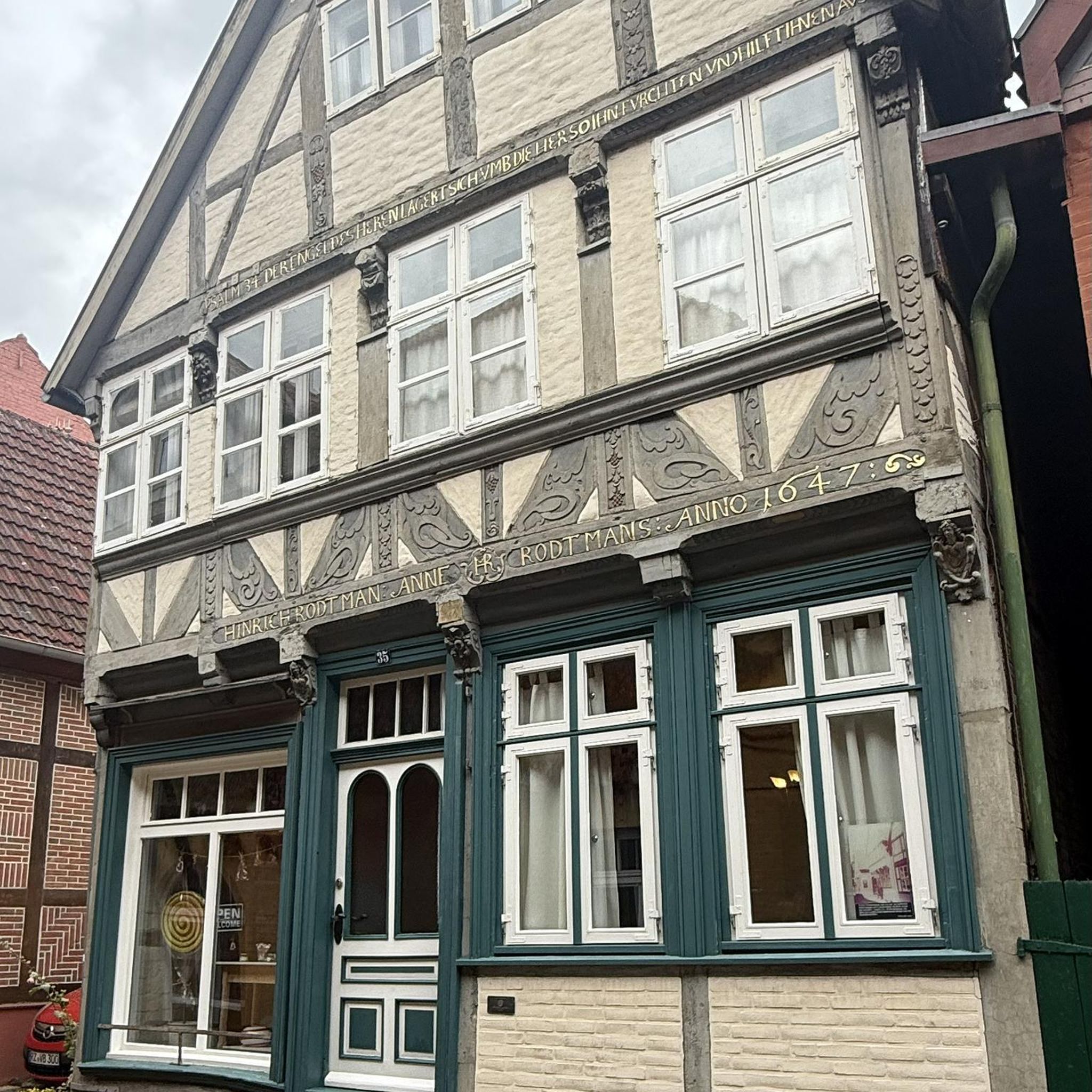
Other adventures around Sils im Domleschg

Tips from the Community

After 32 francs (37€) entrance fee for 3 adults and 1 child, I expected more than a viewing platform under the bridges and a gallery about 80 meters along the rock face. I had hoped one could get down to the water. Unfortunately, no luck. You shouldn't expect anything "Klamm-like" here. My tip: Invest the money in drinks at the visitor center and sit comfortably on the small terrace outside... in my opinion, you'll get more for your money there.
0
0
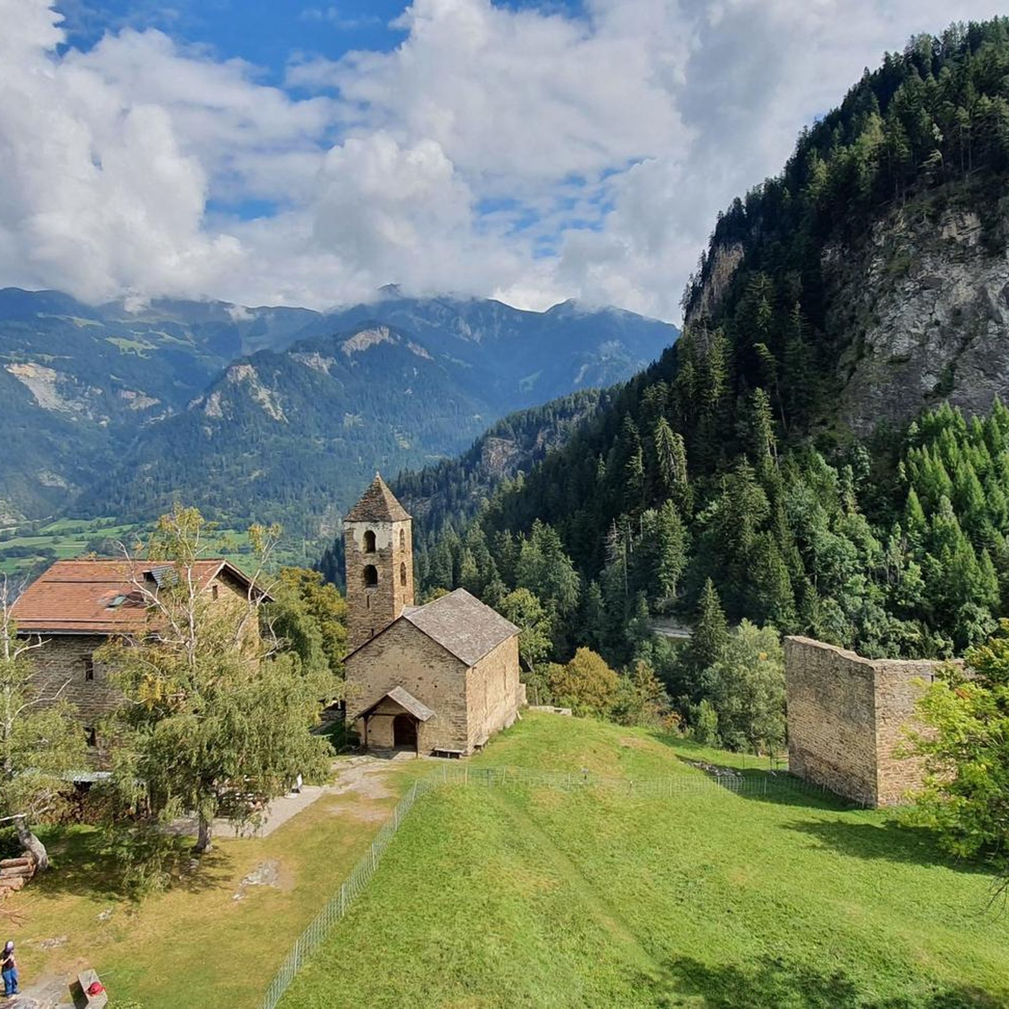
Great view from the Alte Passstraße towards Thusis with the Hohen Räthien castle
0
0

I have to because of the entrance fee. But I don't think it's necessary. The staff is friendly, though.
0
0

They're not really drawings, but more like carvings. They're certainly beautiful.
0
0
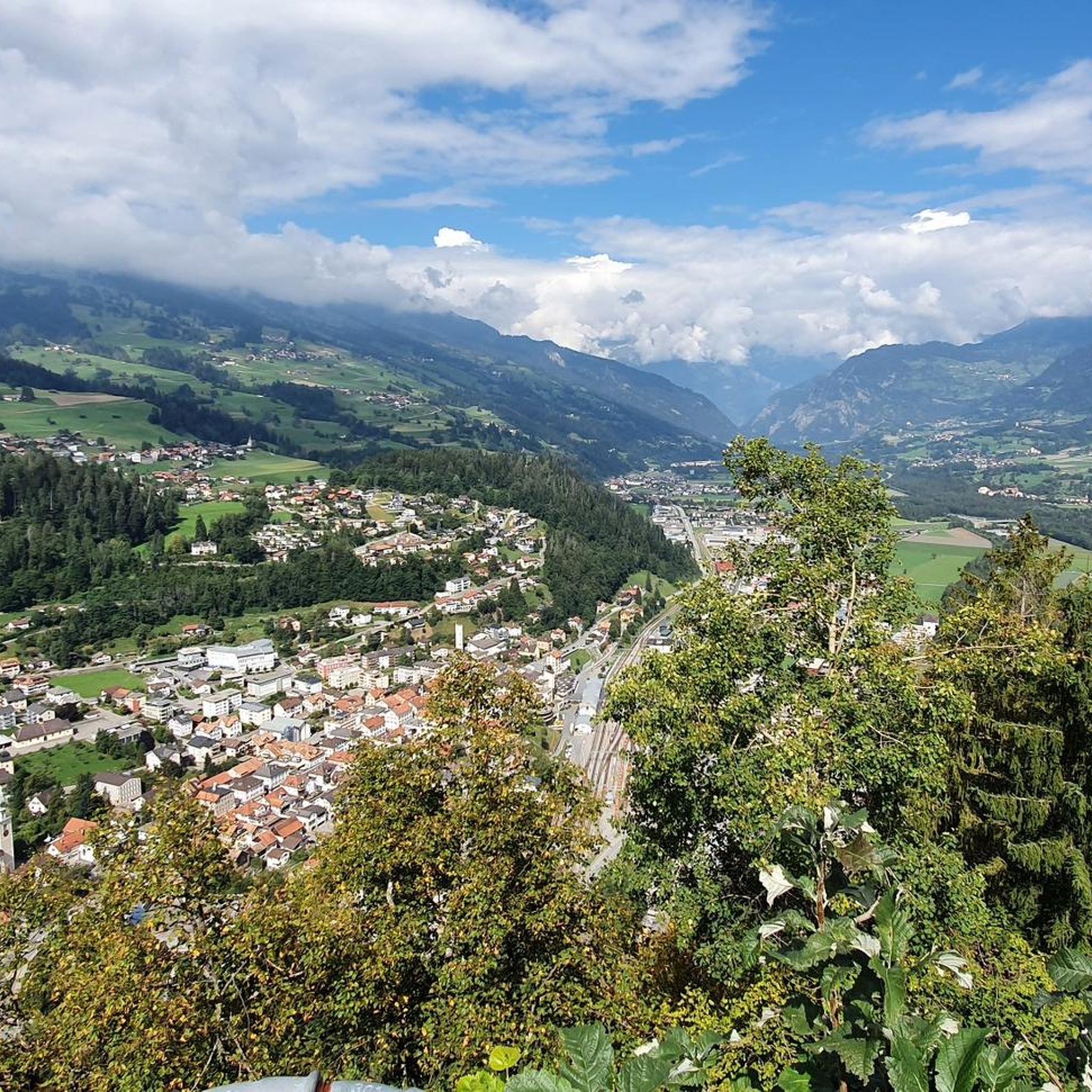
A fantastic view of the villages.
0
0
A magical place. Admission is paid via Twint, CHF 5 per adult.
0
0


Numerous circular patterns can be seen in the rocks.
1
0
Frequently Asked Questions
How many hiking trails are available in Sils im Domleschg?
There are over 580 hiking routes in and around Sils im Domleschg, offering a wide range of options from easy strolls to challenging multi-day treks. The komoot community has explored over 19,000 of these routes.
What natural features can I expect to see while hiking in Sils im Domleschg?
The region is characterized by dramatic landscapes, including the deeply cut Viamala Gorge with its turquoise waters and towering rock walls. You can also experience the unique Traversinersteg suspension bridge, which spans the Traversinatobel 56 meters above ground. Extensive forests, agricultural lands, and the Albula and Hinterrhein rivers also define the picturesque environment.
Are there any historical sites or landmarks to explore on the trails?
Yes, Sils im Domleschg offers several historical points of interest. You can hike to the high plateau of Hohen Rätien, home to a castle complex with historical insights, and continue to the ancient Carschenna rock carvings, which are prehistoric petroglyphs of national significance. The route from Sils i.D. to Hohen Rätien and Carschenna is a great way to experience these sites.
What is the best time of year to go hiking in Sils im Domleschg?
The best time for hiking in Sils im Domleschg is generally from spring through autumn, when the weather is mild and trails are clear. The diverse landscapes, from gorges to high plateaus, offer varied experiences throughout these seasons. Winter hiking is also possible on designated trails, but conditions can be challenging.
Are there family-friendly hiking options in Sils im Domleschg?
Yes, Sils im Domleschg has a good selection of easier trails suitable for families. Out of over 580 routes, 241 are classified as easy, providing accessible options for all ages to enjoy the natural beauty without overly strenuous climbs.
Can I bring my dog on the hiking trails?
Many trails in Sils im Domleschg are dog-friendly, allowing you to explore the beautiful landscapes with your canine companion. However, it's always advisable to check specific trail regulations or local signage, especially in nature reserves or agricultural areas, and to keep dogs on a leash where required.
Are there any circular hiking routes available?
Yes, the region offers several circular hiking routes that allow you to start and end your journey in the same location. These loops often incorporate scenic viewpoints, historical sites, or natural attractions, providing a comprehensive experience of the area's diverse terrain.
What are the difficulty levels of the hikes in Sils im Domleschg?
The hiking trails in Sils im Domleschg cater to various fitness levels. There are 241 easy routes, 250 moderate routes, and 90 difficult routes. Difficult trails often involve significant elevation changes, such as the Hiking trophy: in the footsteps of the Romans along the Viamala, which follows ancient paths through the dramatic Viamala Gorge.
How can I access the hiking trails using public transport?
Sils im Domleschg is well-integrated into the public transport network, making many trailheads accessible by bus or train. This allows hikers to plan point-to-point routes without needing to return to a starting car park. For example, the Thusis – Verlorna Loch – Viamala Visitor Centre route can be conveniently accessed via public transport.
Are there options for longer, multi-day hikes?
Absolutely. Sils im Domleschg is part of several renowned long-distance hiking paths. These include the Via Sett (over the Septimer Pass), the Via Spluga (around the Splügen Pass), the Walserweg (following the Walser people's tracks), and the Via Albula/Bernina (showcasing alpine and high-alpine landscapes). These routes offer multi-day adventures for experienced hikers.
What do other hikers enjoy most about hiking in Sils im Domleschg?
The area is highly rated by the komoot community, with an average score of 4.6 stars from over 2,500 reviews. Reviewers often praise the dramatic natural features like the Viamala Gorge, the historical sites, and the diverse trail network that offers options for all abilities.
Where can I find parking for hiking trails in Sils im Domleschg?
Parking facilities are available at various starting points for hikes in and around Sils im Domleschg. Many trailheads, especially those near popular attractions or villages, offer designated parking areas. It's recommended to check specific route details for parking information before your hike.
Most popular routes around Sils im Domleschg
Most popular attractions around Sils im Domleschg

Get inspired with the komoot mobile app


Explore more
Browse the best Hikes in other regions.
