The best gravel rides around Sils im Domleschg
4.8
(50)
553
riders
30
rides
Gravel bike trails around Sils im Domleschg traverse a diverse landscape within the Viamala Region of Graubünden, Switzerland. The area is characterized by a mix of challenging ascents and picturesque trails, winding through forests, agricultural areas, and along rivers like the Albula and Hinterrhein. Riders encounter hilly, cultivated land, dramatic natural features such as the Viamala Gorge, and numerous historic castles.
Best gravel bike trails around Sils im Domleschg
- The most popular gravel bike trail is Canova Cruise, an…
Last updated: July 2, 2026
12
riders
36.4km
04:23
1,590m
1,590m
Hard gravel ride. Very good fitness required. Some segments of this route may be unpaved and difficult to ride.
5.0
(1)
8
riders
27.4km
02:55
1,010m
750m
Hard gravel ride. Very good fitness required. Mostly paved surfaces. Suitable for all skill levels.

Sign up for free
5.0
(4)
15
riders
18.6km
01:24
270m
270m
Moderate gravel ride. Good fitness required. Mostly paved surfaces. Suitable for all skill levels.
4.9
(9)
81
riders
64.6km
05:23
1,760m
1,760m
Hard gravel ride. Very good fitness required. You may need to push your bike for some segments of this route.
4.6
(16)
146
riders
54.5km
03:12
590m
590m
Hard gravel ride. Very good fitness required. Mostly paved surfaces. Suitable for all skill levels.
Get access to more routes and recommendations from other explorers.
Sign up for free
Already have an account?
Our route recommendations are based on thousands of hikes, rides, and runs completed by other people on komoot.
Start today with a free account
Your next adventure awaits.
Login or Signup
Popular around Sils im Domleschg
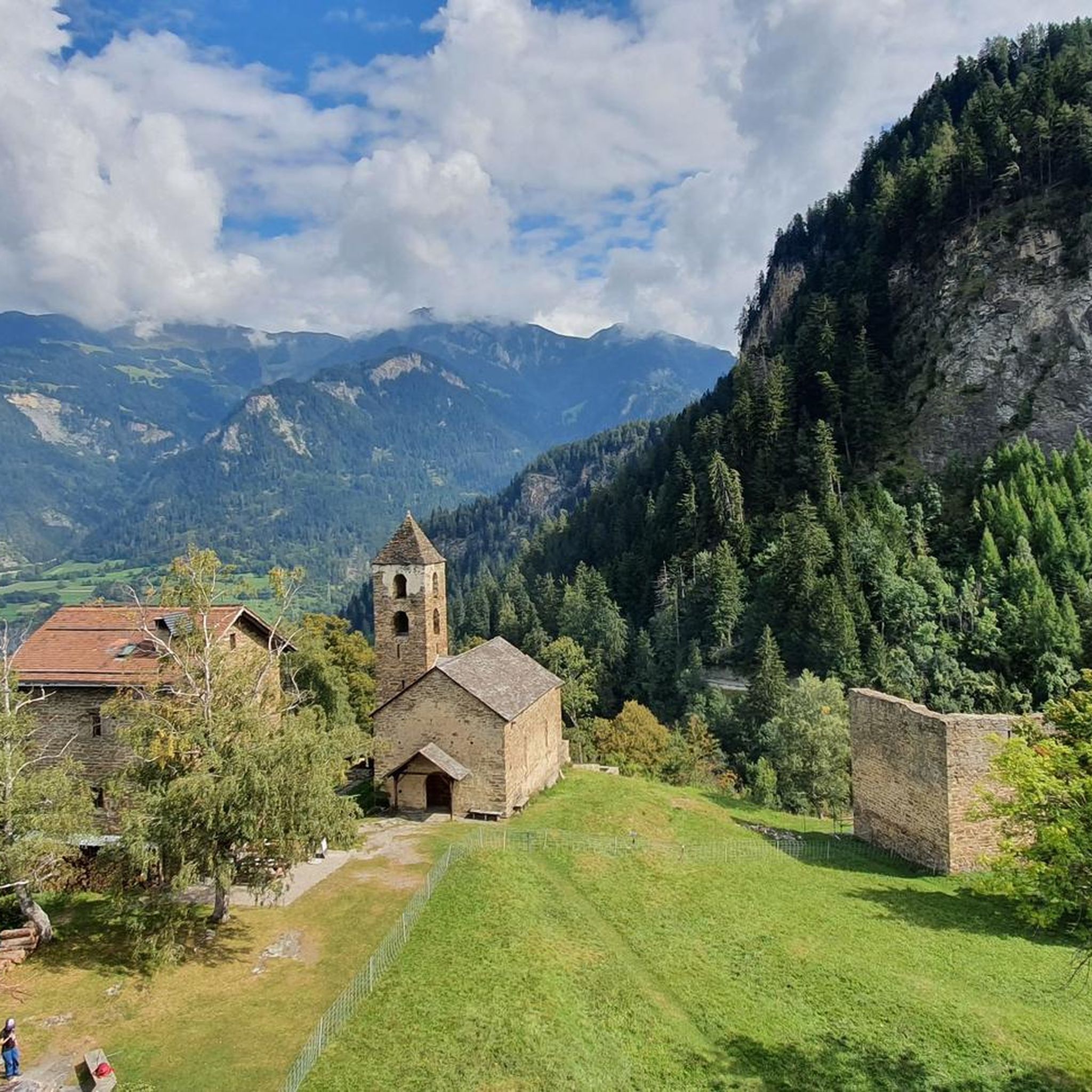
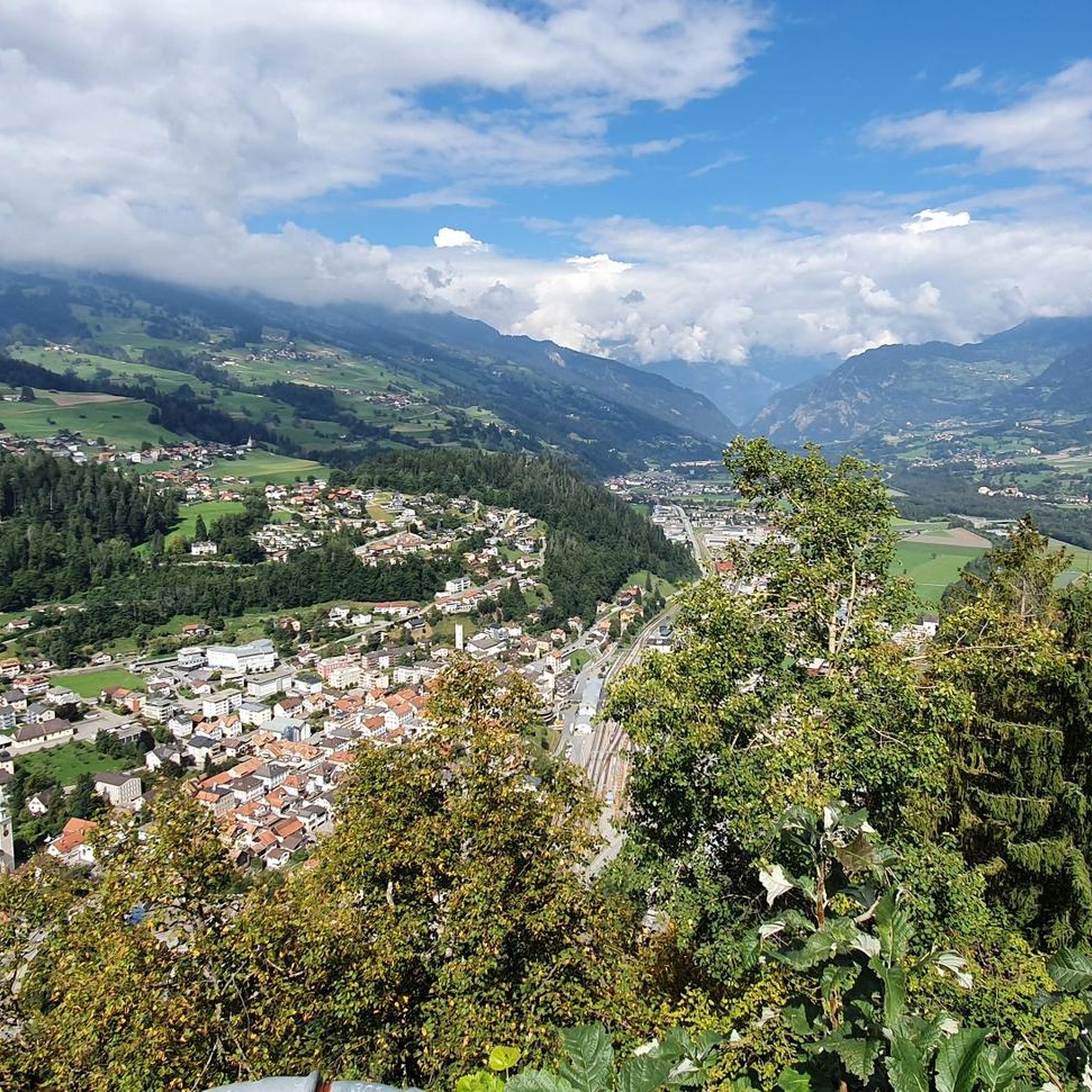
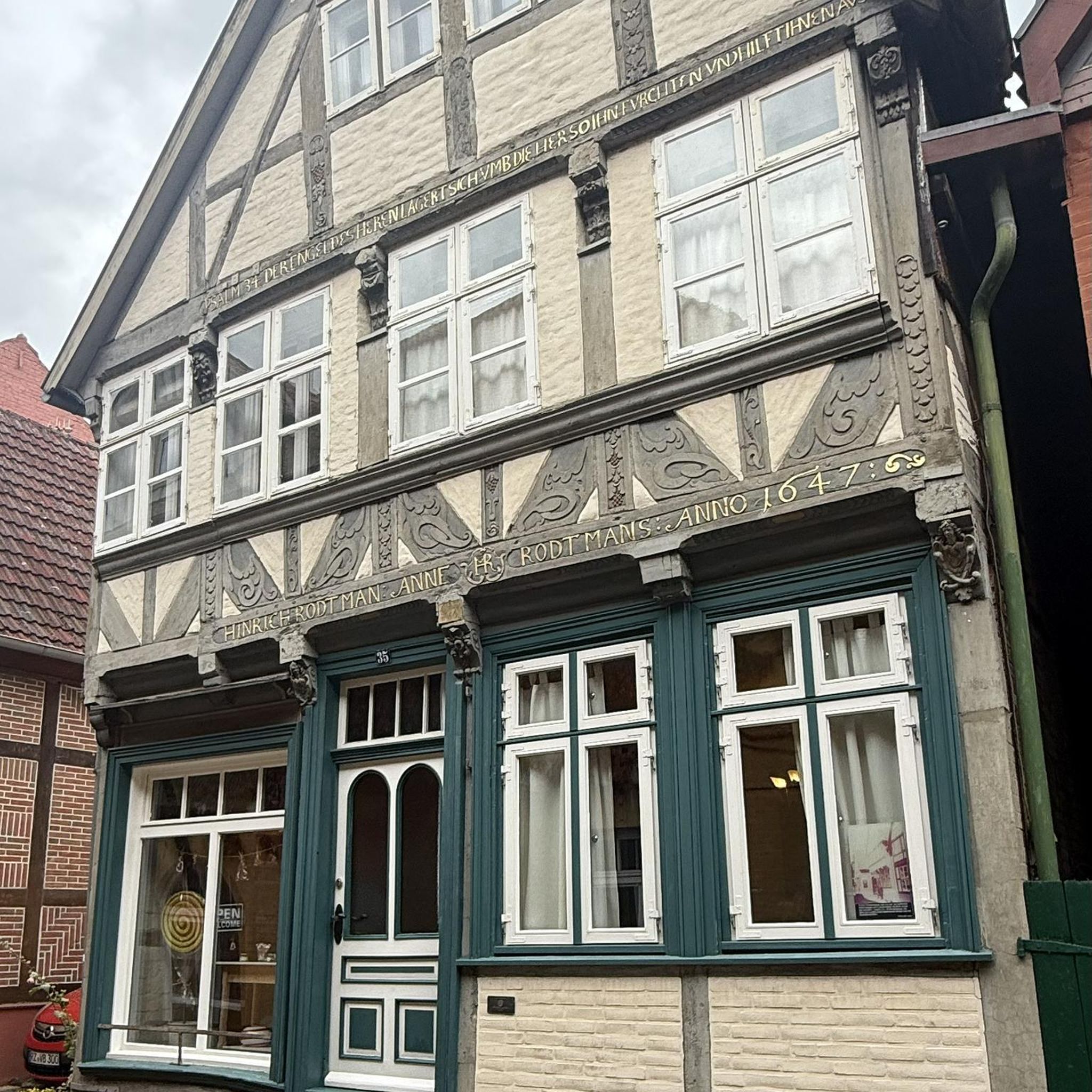
Other adventures around Sils im Domleschg

Tips from the Community

A place of power in a special class
0
0


Ruinaulta Rhine Gorge The Ruinaulta, or Rhine Gorge, is a gorge of the Vorderrhein River, up to 400 meters deep and approximately 13 kilometers long, between Ilanz and the mouth of the Hinterrhein River near Reichenau in the canton of Graubünden in Switzerland. The Romansh name 'Ruinaulta' is composed of the two words ruina (scree slope, quarry) and aulta (high). The Ruinaulta was formed after the Flims Landslide almost 10,000 years ago. At that time, over 10 billion cubic meters of rock broke off between the Flimserstein and Piz Grisch, burying the Vorderrhein Valley between the present-day villages of Castrisch and Reichenau under a mass of debris several hundred meters thick. Because the Vorderrhein River could no longer drain away, a lake was dammed over a length of approximately 25 kilometers. Over time, the river cut deep into the landslide, and the resulting lake drained away completely. What remained was the Ruinaulta, with its steep limestone scree cliffs in impressive erosion formations. Text / Source: Wikipedia https://de.wikipedia.org/wiki/Ruinaulta
16
0
Confluence of the Vorderrhein and Hinterrhein, Reichenau Dominated by Reichenau Castle, the hamlet lies at the confluence of the Vorderrhein and Hinterrhein rivers, making it virtually the birthplace of the Rhine. It all began 10,000 years ago. Between the Flimserstein (a high plateau) and Piz Grisch, over 10,000 cubic meters of rock broke off and thundered down into the valley. Towards Reichenau, the Vorderrhein valley disappears under a gigantic mass of rubble. From there, the Rhine diligently ate its way through the rock, creating the spectacular Swiss "Grand Canyon" – the Ruinaulta. Text / Source: myswitzerland.com https://www.myswitzerland.com/de-ch/erlebnisse/route/vom-zusammenfluss-der-rheine-in-die-rheinschlucht/
16
0

Great little place. Incidentally, the Vorderrhein and Hinterrhein rivers converge in this village.
0
0

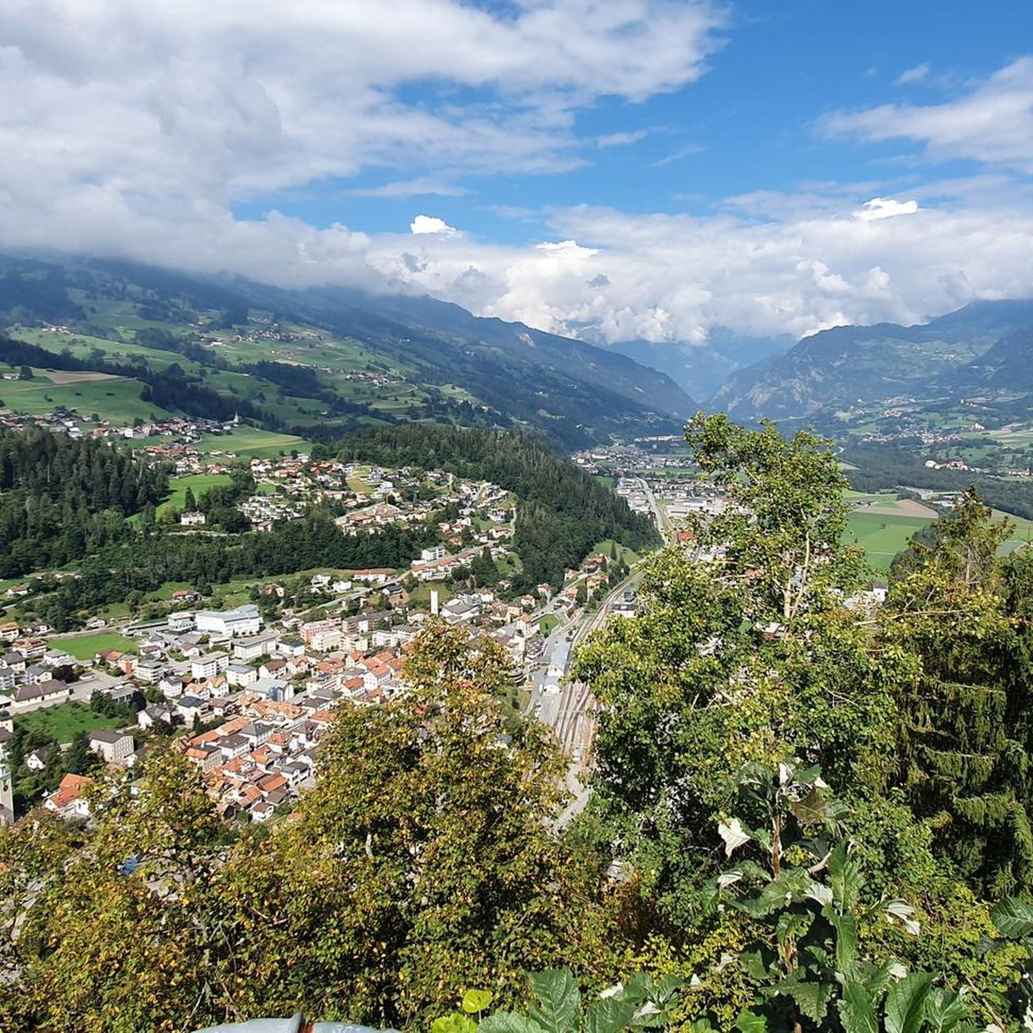
Great mountain village with old houses
0
0

very nice on sunny days
0
0

Until now I only knew this as a ski slope, but it's also great for riding a bike
0
0
Frequently Asked Questions
How many gravel bike trails are available around Sils im Domleschg?
The Sils im Domleschg area offers a wide selection of gravel bike trails, with over 30 routes available. These range from moderate rides to more challenging ascents, catering to various skill levels.
What do other gravel bikers say about the trails in Sils im Domleschg?
The gravel biking routes in Sils im Domleschg are highly regarded by the komoot community, boasting an average rating of 4.6 stars from over 39 reviews. Riders often praise the diverse landscapes, from historic castles to dramatic gorges, and the blend of forested and cultivated paths.
When is the best time of year to go gravel biking in Sils im Domleschg?
The region is ideal for gravel biking during the warmer months, typically from spring through autumn. This allows riders to fully enjoy the varied terrain and natural beauty, including the Canovasee and the Viamala Gorge, without the challenges of winter conditions.
Are there gravel bike routes suitable for beginners in Sils im Domleschg?
Yes, there are options for less experienced riders. While many routes are challenging, you can find moderate trails like the Canova Cruise. This route offers a pleasant ride through the Domleschg region, past ancient castles and orchards, without extensive climbs.
What are some challenging gravel bike routes in the Sils im Domleschg area?
For experienced gravel bikers seeking a challenge, routes like Thusis - Glaspass - Thusis offer significant elevation gain and extensive views through mountainous terrain. Another demanding option is Through the Viamala Gorge from Thusis to Andeer, which leads through dramatic rock walls.
Can I find circular gravel bike routes around Sils im Domleschg?
Yes, the region offers several circular routes. An example is the Polenweg Trail – Alter Schin Historic Trail loop from Sils im Domleschg, which provides a comprehensive experience of the area's landscapes and history.
What natural features or landmarks can I see while gravel biking in Sils im Domleschg?
The region is rich in natural beauty and historical sites. You can encounter the dramatic Viamala Gorge, serene riverine landscapes along the Albula and Hinterrhein, and the tranquil Canovasee. Historically, the area is known for its numerous castles and fortresses, such as Burg Ehrenfels and the ruins of Hohenrätien.
Are there routes that pass by waterfalls in the Sils im Domleschg area?
Yes, some routes in the vicinity of Sils im Domleschg offer views of beautiful waterfalls. You might encounter highlights like the Nolla Waterfall or the Small Waterfall and Cliff Pathway, adding a refreshing element to your ride.
Which gravel bike trails explore the historic castles of Domleschg?
The Domleschg region is famous for its concentration of castles. While gravel biking, you can explore routes that pass by or offer views of historic structures like Hohen Rätien Castle Ruins, Rietberg Castle, and Schauenstein Castle. The "Canova Cruise" also guides cyclists past ancient castles.
Is there parking available for cyclists in Sils im Domleschg?
Sils im Domleschg, being a popular outdoor destination, generally offers parking facilities. It's advisable to check local signage or municipal websites for specific parking areas suitable for longer stays while you're out on the trails.
How can I reach the gravel bike trails in Sils im Domleschg using public transport?
Sils im Domleschg is part of the Swiss public transport network. You can typically reach the area by train and bus, often connecting through larger hubs like Thusis. Public transport can be a convenient way to access various starting points for gravel bike routes, especially if you plan a one-way ride.
Are dogs allowed on the gravel biking trails in Sils im Domleschg?
Many outdoor trails in Switzerland are dog-friendly, provided dogs are kept on a leash and owners clean up after them. However, specific regulations can vary, especially in nature reserves or agricultural areas. It's always best to observe local signage and be respectful of wildlife and other trail users.
Most popular routes around Sils im Domleschg
Most popular attractions around Sils im Domleschg

Get inspired with the komoot mobile app


Explore more
Browse the best Gravel rides in other regions.
