The best running trails around Salbertrand
4.2
(30)
2,167
runners
130
runs
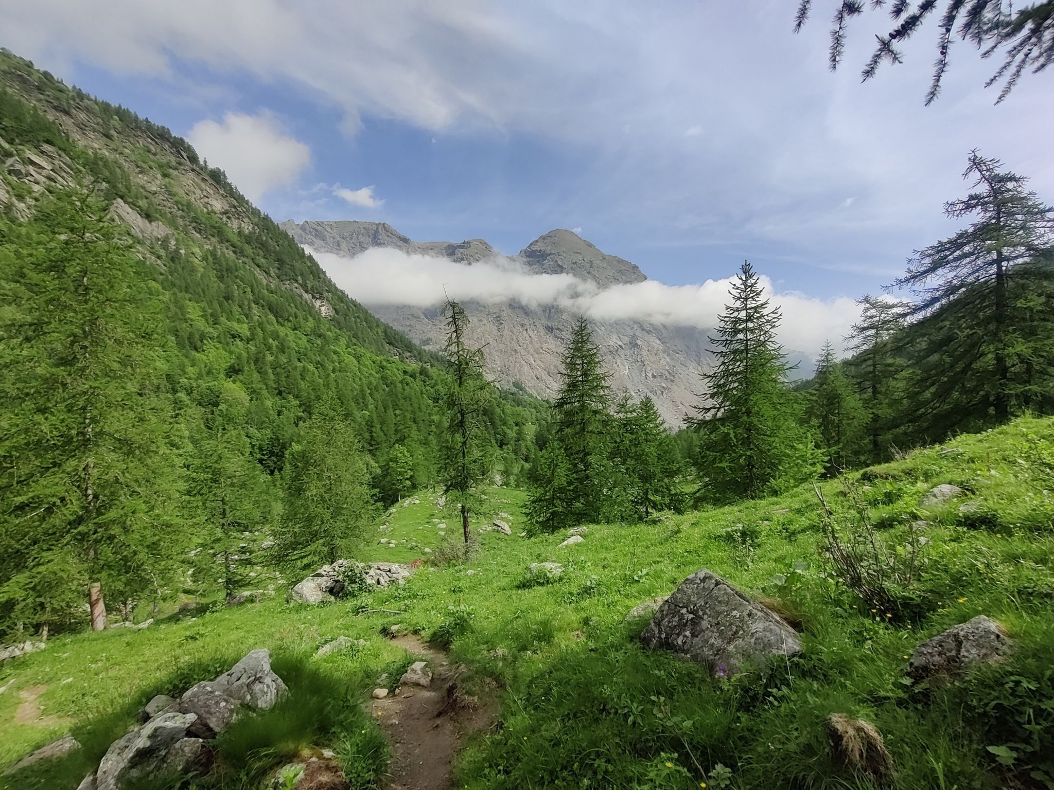
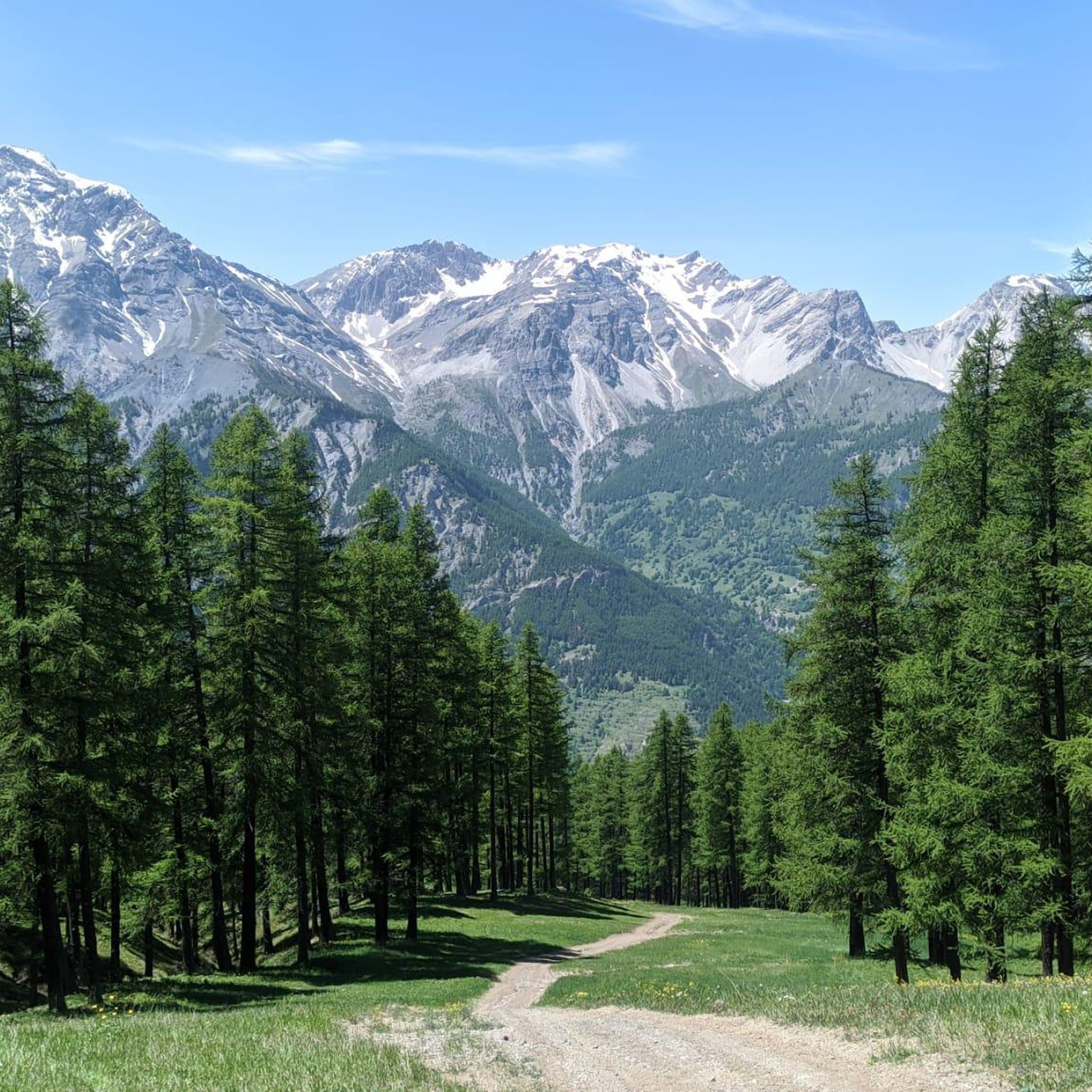
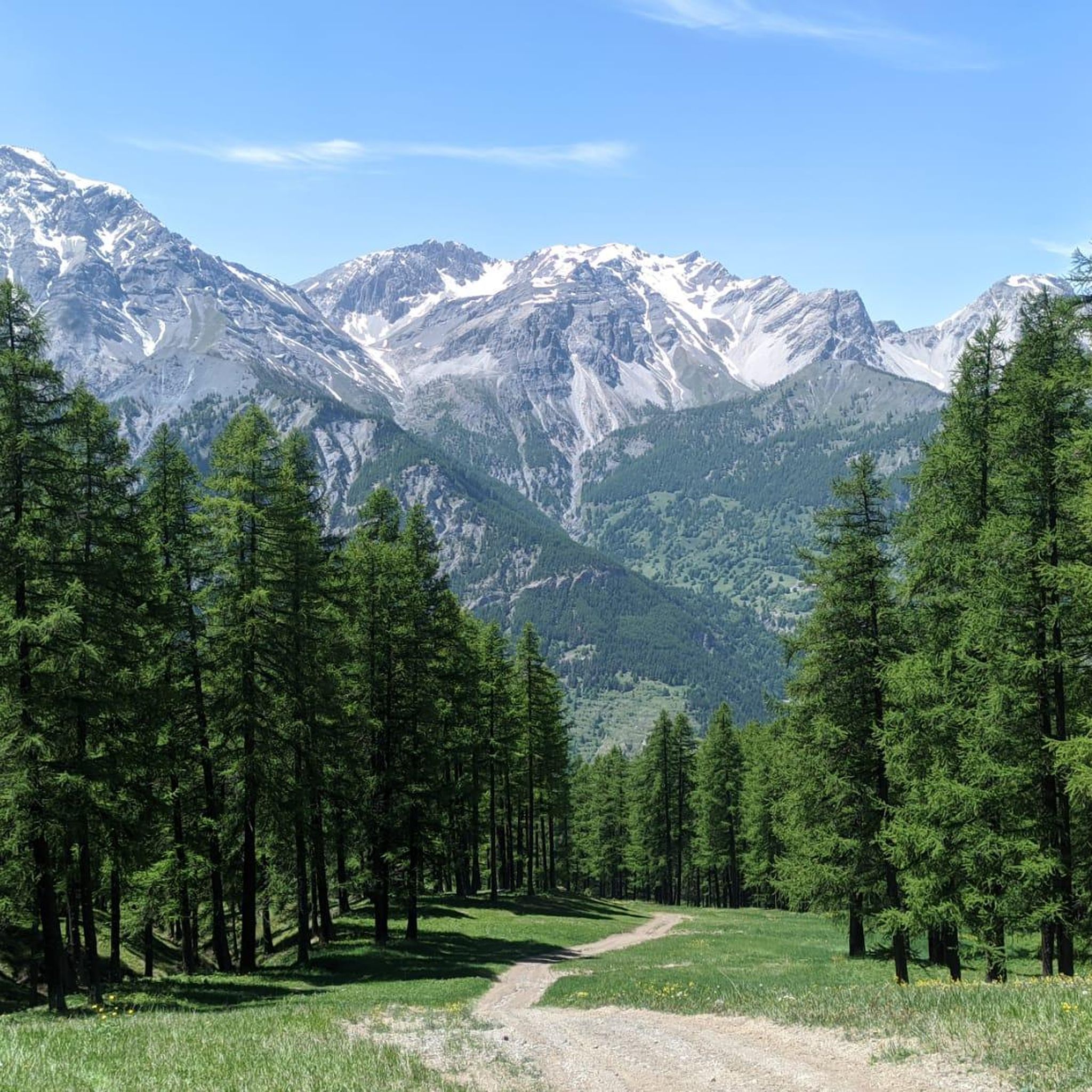
Jogging around Salbertrand offers access to the diverse landscapes of the upper Susa Valley in Piedmont, Italy. The region is characterized by the Gran Bosco di Salbertrand Natural Park, featuring extensive wooded slopes dominated by fir trees, pastures, and grasslands. Elevations range significantly from approximately 1,000 meters at the valley base to 2,600 meters at the watershed, providing varied terrains and gradients for running. This natural setting ensures a mix of shaded forest paths and open alpine views.
Best jogging…
Last updated: October 18, 2026
4.5
(2)
148
runners
9.88km
01:12
140m
140m
Moderate run. Good fitness required. Mostly paved surfaces. Suitable for all skill levels.
4.0
(1)
30
runners
11.2km
03:09
1,380m
1,380m
Hard run. Very good fitness required. Sure-footedness, sturdy shoes and alpine experience required.

5
runners
19.6km
03:17
1,330m
1,330m
Hard run. Very good fitness required. Sure-footedness, sturdy shoes and alpine experience required.
8
runners
13.3km
01:39
240m
240m
Moderate run. Good fitness required. Mostly accessible paths. Some sure footedness required.
5
runners
7.05km
01:17
450m
450m
Hard run. Very good fitness required. Sure-footedness, sturdy shoes and alpine experience required.
Get access to more routes and recommendations from other explorers.
Already have an account?
Our route recommendations are based on thousands of hikes, rides, and runs completed by other people on komoot.
Start today with a free account
Your next adventure awaits.


Other adventures around Salbertrand

Tips from the Community


crossing the Chisone River at Fraisse
0
0
starting point for various Alpine tours
0
0


Sportinia is always beautiful. Reached by a hike starting from the experimental center and passing through Pian della Rocca, on August 31st we found the Rocce Nere refuge open, where we enjoyed a platter and a beer.
0
0

Rest stop before tackling the final 8 km climb to Sestriere (2035 m). Eat some protein and remember to bring water. The climb is always exposed to the sun. The average gradient is 6%.
0
0


Frequently Asked Questions
How many running routes are available in Salbertrand?
Salbertrand offers a wide selection of running routes, with over 90 trails to explore. These routes cater to various preferences, from gentle paths to challenging mountain runs.
Are there running routes for all skill levels in Salbertrand?
Yes, the area provides a diverse range of running routes. You'll find approximately 4 easy routes for beginners, around 29 moderate trails, and over 65 difficult paths for experienced runners seeking a challenge. The terrain varies from extensive wooded slopes to varied mountain terrain and alpine meadows.
What kind of terrain can I expect on Salbertrand's jogging trails?
Jogging around Salbertrand primarily takes you through the Gran Bosco di Salbertrand Natural Park, characterized by extensive wooded slopes dominated by fir trees, as well as pastures and grasslands. You can expect varied terrains and gradients, with elevations ranging significantly from approximately 1,000 meters at the valley base to 2,600 meters at the watershed, offering both shaded forest paths and open alpine views.
What natural features or landmarks can I see while running in Salbertrand?
Many running routes in Salbertrand offer stunning natural scenery and access to notable landmarks. You might encounter beautiful lakes such as Rochemolles Lake or Lake Laux. The region is also rich in historical sites, including the Strada dell'Assietta and Colle dell'Assietta, which offer panoramic views and insights into the region's past.
Are there any historical sites or cultural points of interest along the jogging routes?
Absolutely. The Gran Bosco di Salbertrand Natural Park is home to the Ecomuseum Colombano Romean, which features a ring-route that combines exercise with cultural discovery. This route includes historical elements like a hydraulic mill, a communal oven, and a 19th-century ice house. Additionally, trails like the 'cannon road' can lead to sites of historical significance such as the Testa dell'Assietta.
Are there any easy or beginner-friendly jogging paths in Salbertrand?
Yes, Salbertrand offers several easy routes. For instance, the route From Pragelato to Pattermouche – Parco Naturale della Val Troncea is a moderate 6.1-mile trail with a gentle elevation gain, suitable for those looking for a less strenuous run.
Can I find challenging running routes with significant elevation gain?
Yes, Salbertrand is an excellent destination for challenging runs. Routes like Monte Albergian da Pragelato – Parco Naturale della Val Troncea are classified as difficult, featuring significant elevation gain through varied mountain terrain. Another demanding option is the Monte Fraiteve Loop from Sauze d'Oulx, a 12.2-mile trail with substantial climbing.
Are there circular running routes in Salbertrand?
Yes, you can find several circular running routes. An example is the Pragelato to Lake Pourrières Loop, which allows you to start and finish in the same location while enjoying the scenic landscape.
What do other runners enjoy the most about jogging in Salbertrand?
The running routes in Salbertrand are highly rated by the komoot community, with an average score of 4.25 stars from nearly 20 reviews. Runners often praise the extensive wooded slopes, varied mountain terrain, and alpine meadows, highlighting the diverse options available for different ability levels.
Is Salbertrand suitable for dog-friendly running?
The Gran Bosco di Salbertrand Natural Park, which encompasses many of the running trails, is generally welcoming to dogs. However, it's always recommended to keep dogs on a leash to protect local wildlife and ensure a pleasant experience for all park users. Check specific trail regulations before you go.
What is the best time of year to go jogging in Salbertrand?
The best time for jogging in Salbertrand is typically from late spring through early autumn (May to October). During these months, the weather is generally mild, and the trails are clear of snow, offering ideal conditions for exploring the diverse landscapes of the Susa Valley. Always check local weather forecasts before heading out.
Are there any routes that lead to mountain huts or refuges?
Yes, some routes can lead to mountain huts. For example, trails within the Gran Bosco Natural Park can lead to destinations like Rifugio Arlaud. You might also find other refuges such as Assietta Refuge or Mulino di Laval Mountain Hut in the wider area, offering potential rest stops or destinations for longer runs.
Most popular routes around Salbertrand
Most popular attractions around Salbertrand

Get inspired with the komoot mobile app


Explore more
Browse the best Running Trails & Routes in other regions.
