The best mountain hikes around Salbertrand
11
hikers
3
hikes
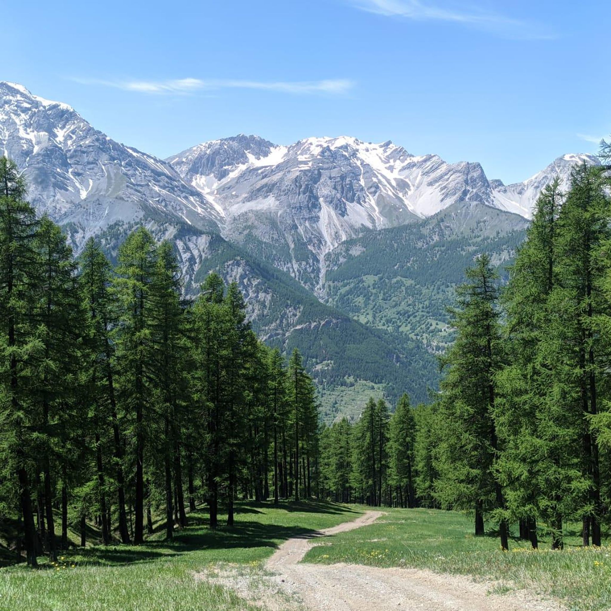
Mountaineering routes around Salbertrand are situated in the high mountain valleys of Piedmont, Italy, characterized by alpine peaks, deep valleys, and coniferous forests. The region offers varied terrain, from challenging summit ascents to high-altitude trails. Elevations in the area provide opportunities for significant climbs and panoramic views of the surrounding Alps.
Best mountaineering routes around Salbertrand
- The most popular mountaineering route is Monte Albergian Summit loop from Pragelato, a 6.8 miles (11.0 km) trail that takes about 7 hours…
Last updated: October 11, 2026
4
hikers
8.96km
03:22
610m
610m
Moderate mountaineering route. Good fitness required. Easily-accessible paths. Suitable for all skill levels.
5
hikers
11.3km
06:02
1,110m
1,110m
Hard mountaineering route. Very good fitness required. Sure-footedness, sturdy shoes and alpine experience required.

2
hikers
9.91km
04:21
750m
750m
Moderate mountaineering route. Good fitness required. Mostly accessible paths. Sure-footedness required.
Our route recommendations are based on thousands of hikes, rides, and runs completed by other people on komoot.
Start today with a free account
Your next adventure awaits.

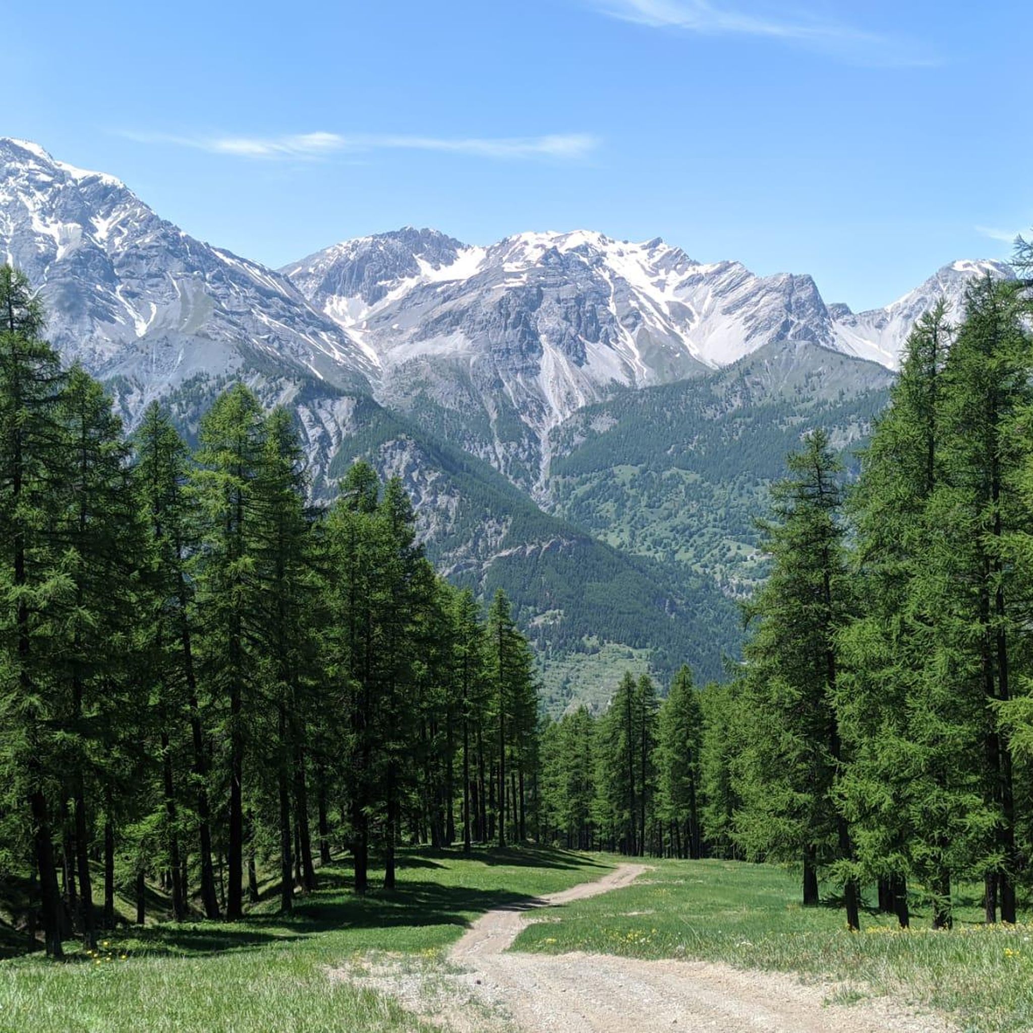
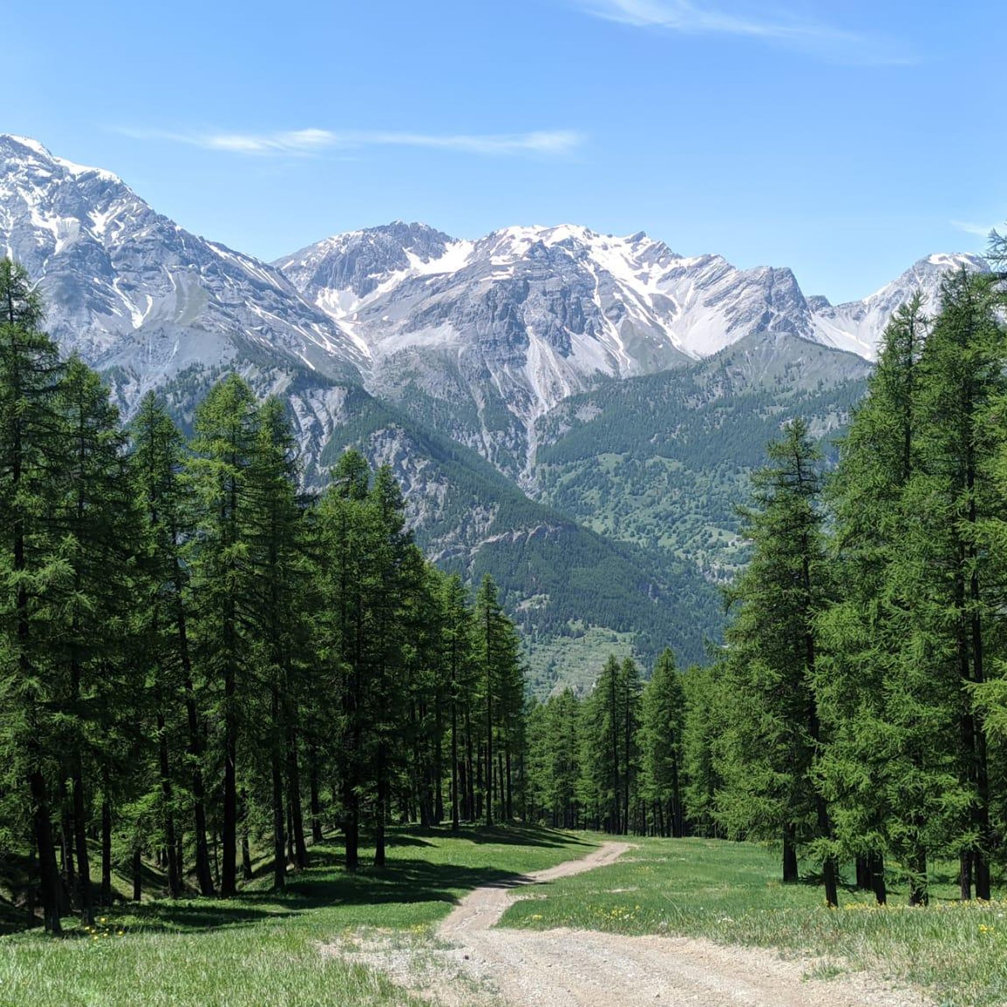
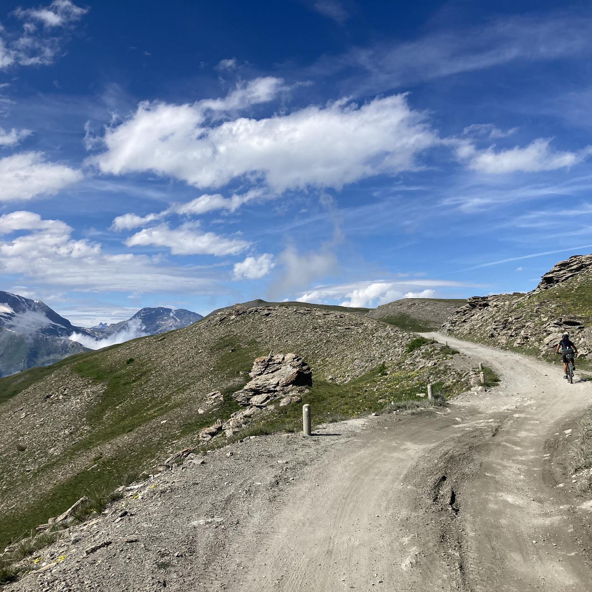

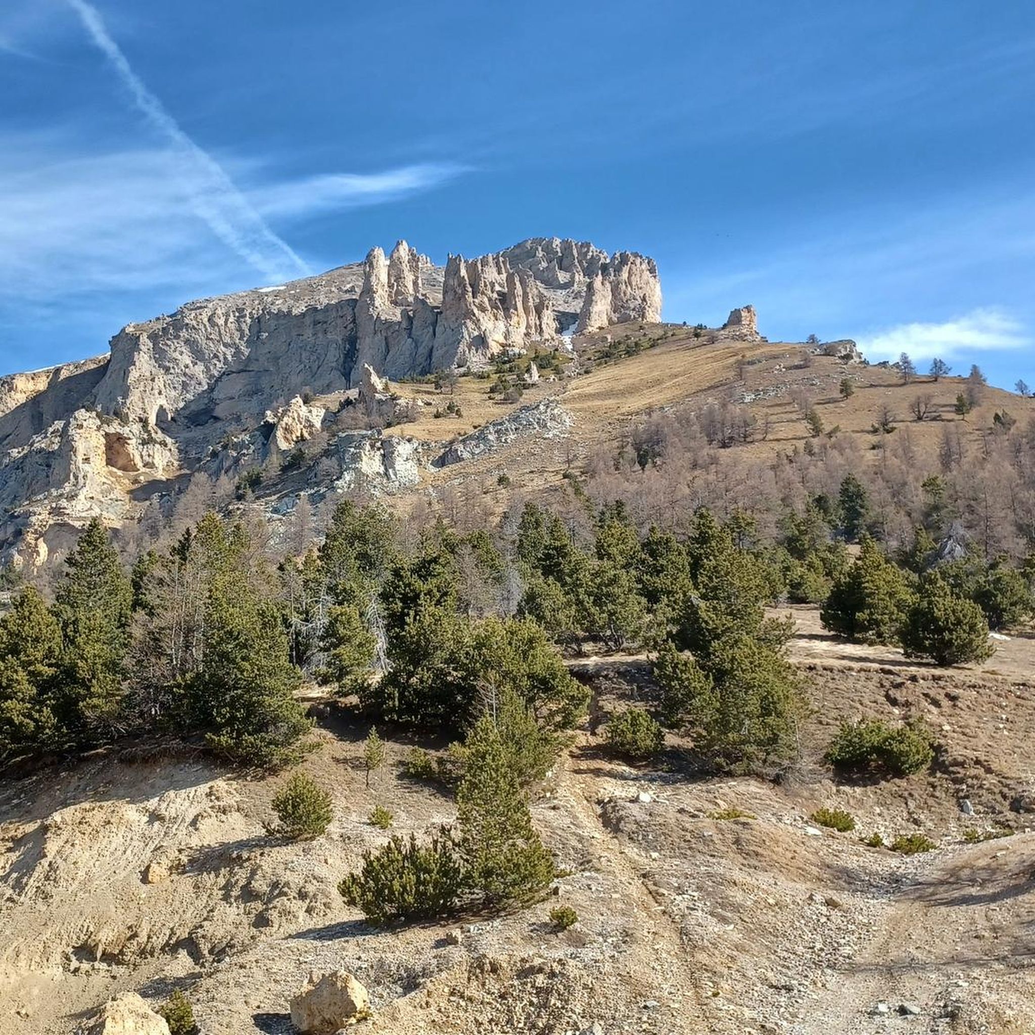
Other adventures around Salbertrand

Tips from the Community

Sportinia is always beautiful. Reached by a hike starting from the experimental center and passing through Pian della Rocca, on August 31st we found the Rocce Nere refuge open, where we enjoyed a platter and a beer.
0
0

A magical place, with a fantastic view of the Ecrins
0
0

Chateau Beaulard is a beautiful village, well-kept and enhanced, with the old school museum and bakery that offer a dip into the past. Ideal for walks suitable for all needs, it can be reached from Oulx with a flat route of about 50 minutes on a dirt road.
1
0

A trail with a flow pace, a mix of compressions and banks and then proceeding into the woods among centuries-old trees and the natural stretch is all to be experienced
0
0


Reachable by car on a dirt road, by chairlift at certain times of the year from Jouvenceaux, on foot or by mountain bike through various easy routes, this fraction in the municipality of Sauze d'Oulx has restaurants, bars, hotels, umbrellas. Very popular with skiers in winter
0
0
Frequently Asked Questions
What types of mountaineering routes can I find around Salbertrand?
The Salbertrand area offers a mix of moderate and difficult mountaineering routes. You'll find challenging summit ascents and high-altitude trails, characterized by alpine peaks and forested valleys.
Are there any moderate mountaineering routes suitable for those with some experience?
Yes, for those seeking a moderate challenge, consider the Rifugio Ciao Pais loop from Sauze d'Oulx. This 5.6-mile (9.0 km) route takes about 3 hours 22 minutes and leads to a high-altitude refuge. Another moderate option is the Rifugio Guido Rey loop from Beaulard, covering 6.1 miles (9.8 km) in about 4 hours 19 minutes.
Which routes offer the most challenging mountaineering experiences?
For a demanding experience, the Monte Albergian Summit loop from Pragelato is a difficult 6.8-mile (11.0 km) trail, typically taking around 7 hours 27 minutes to complete. Another challenging option is the Rocher de la Garde – Grand'Hoche loop from Beaulard, an 8.0-mile (12.9 km) route through high alpine terrain, often completed in about 7 hours 9 minutes.
What is the best season for mountaineering in Salbertrand?
The ideal time for mountaineering in the Salbertrand region is typically during the summer months, from June to September, when trails are generally free of snow and weather conditions are more stable. Early autumn can also offer pleasant conditions with vibrant foliage.
Are there any circular mountaineering routes available?
All the featured mountaineering routes around Salbertrand are designed as loops, allowing you to start and finish at the same point. This includes routes like the Monte Albergian Summit loop from Pragelato and the Rifugio Ciao Pais loop from Sauze d'Oulx.
What kind of views can I expect on these mountaineering routes?
Mountaineering routes in Salbertrand offer extensive alpine vistas, especially from higher elevations and summits. For example, the Monte Albergian Summit provides panoramic views of the surrounding Alps. You'll also encounter deep valleys and coniferous forests along the way.
Are there any interesting landmarks or natural attractions near the mountaineering trails?
Yes, the region is rich in natural beauty and historical sites. You might encounter stunning lakes such as Rochemolles Lake and Dam or Lake Laux. Historical fortifications like Fort Jafferau and Fort Gran Serin are also found in the broader area, offering glimpses into the region's past.
Is public transport available to access the starting points of these routes?
Access to mountaineering routes in alpine regions like Salbertrand often requires a car, as public transport options to specific trailheads can be limited. However, some routes may be accessible from towns with bus or train connections, requiring an additional walk or local taxi service to reach the starting point.
Are dogs allowed on the mountaineering trails around Salbertrand?
Generally, dogs are permitted on trails in the Italian Alps, but it's crucial to keep them on a leash, especially in areas with livestock or wildlife. Always check local regulations for specific routes or protected areas, as rules can vary.
What do other mountaineers say about the routes in Salbertrand?
The mountaineering routes in Salbertrand are highly regarded by the komoot community, with an average score of 3.0 stars. Users often praise the challenging ascents and the rewarding high alpine scenery.
Are there any facilities like cafes or refuges along the routes?
Some routes, such as the Rifugio Ciao Pais loop from Sauze d'Oulx, lead directly to mountain refuges like Rifugio Ciao Pais, which often provide food, drinks, and accommodation during peak season. It's always advisable to check opening times and availability before your trip.
What should I consider for winter mountaineering in Salbertrand?
Winter mountaineering in Salbertrand requires specialized equipment such as snowshoes, crampons, and ice axes, as well as experience with avalanche assessment. Many routes become significantly more challenging and potentially dangerous due to snow and ice. It's recommended to consult local guides and current conditions before attempting winter ascents.
Most popular routes around Salbertrand
Most popular attractions around Salbertrand

Get inspired with the komoot mobile app


Explore more
Browse the best Mountain Hikes & Routes in other regions.
