The best mountain hikes around Riva Valdobbia
4.8
(23)
450
hikers
9
hikes
Mountaineering routes around Riva Valdobbia are set within the Valsesian mountains of Piedmont, Italy, offering access to the Monte Rosa Massif, Europe's second-highest mountain. The region features diverse terrain, from the wild Val Vogna valley to the high-altitude landscapes of the Alta Valsesia Natural Park. Mountaineers can expect challenging ascents, glacier crossings, and routes leading to significant alpine refuges. The area is characterized by dramatic alpine scenery, including peaks over 3,000 meters and the Sesia River.
Best mountaineering routes around…
Last updated: October 8, 2026
4.6
(17)
354
hikers
8.06km
06:10
830m
830m
Hard mountaineering route. Very good fitness required. Sure-footedness, sturdy shoes and alpine experience required.
35
hikers
13.4km
07:02
1,070m
1,070m
Hard mountaineering route. Very good fitness required. Sure-footedness, sturdy shoes and alpine experience required.

4
hikers
3.08km
01:50
230m
220m
Hard mountaineering route. Great for any fitness level. Sure-footedness, sturdy shoes and alpine experience required.
4.5
(2)
13
hikers
17.3km
07:47
1,130m
1,130m
Hard mountaineering route. Very good fitness required. Sure-footedness, sturdy shoes and alpine experience required.
5.0
(1)
13
hikers
11.9km
05:34
830m
830m
Hard mountaineering route. Very good fitness required. Sure-footedness, sturdy shoes and alpine experience required.
Get access to more routes and recommendations from other explorers.
Already have an account?
Our route recommendations are based on thousands of hikes, rides, and runs completed by other people on komoot.
Start today with a free account
Your next adventure awaits.

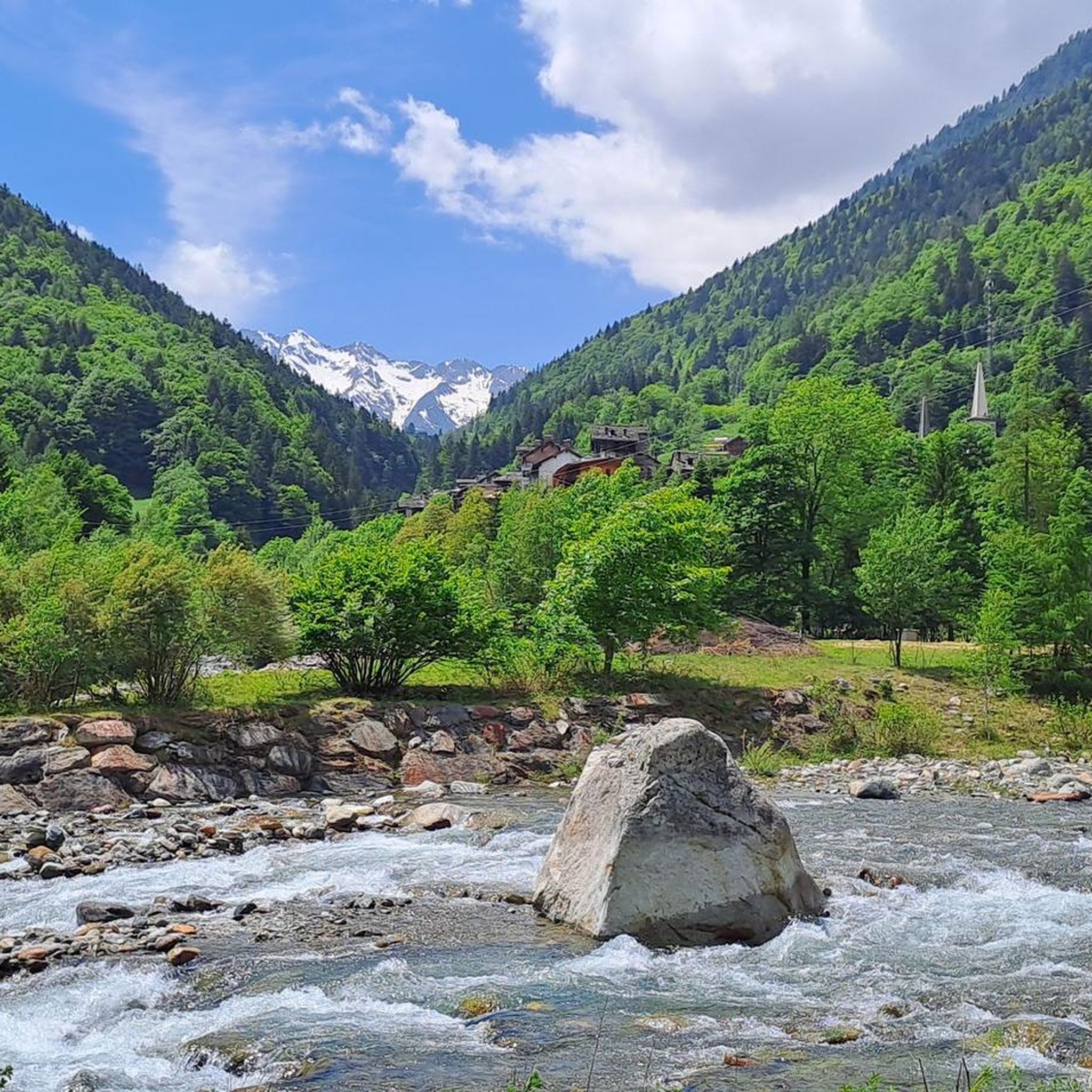
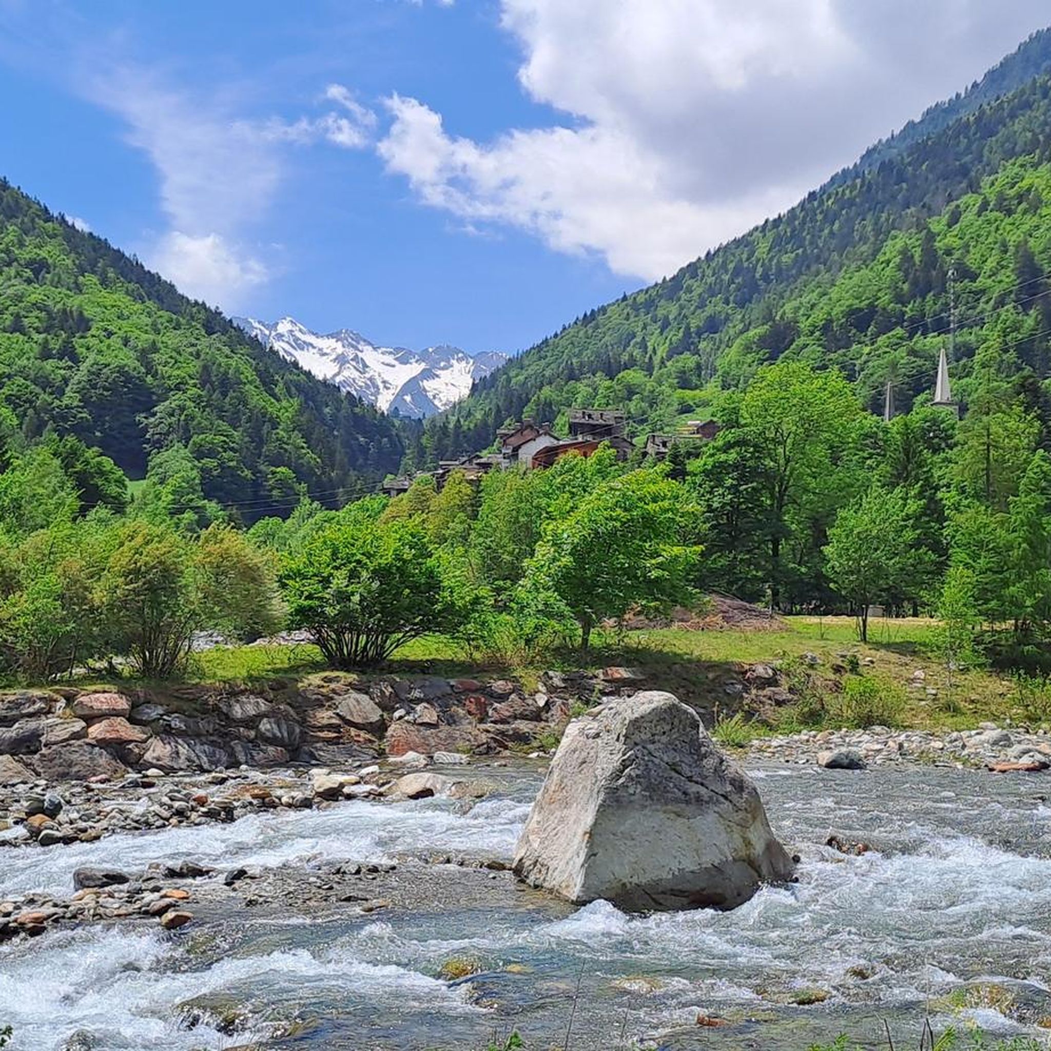
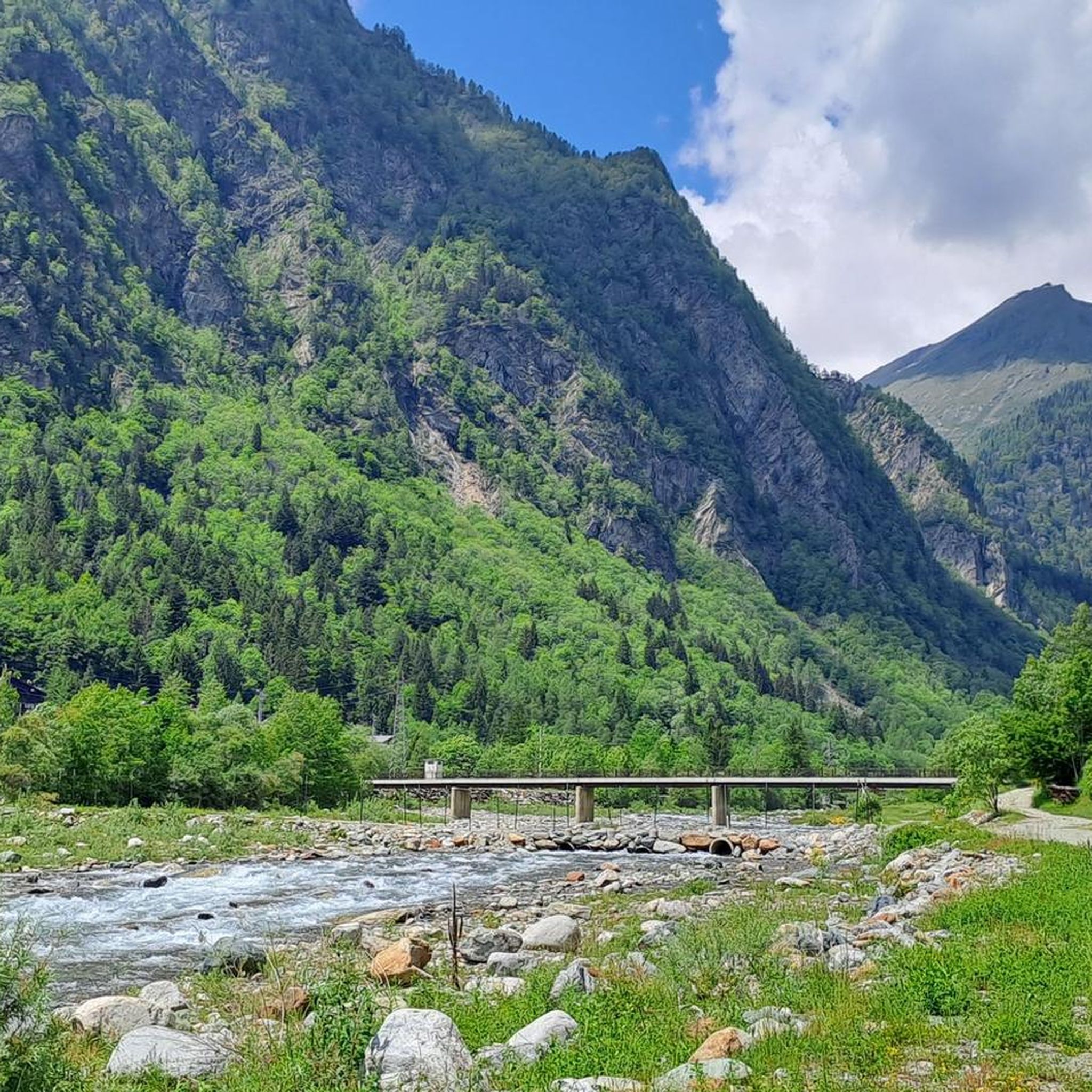
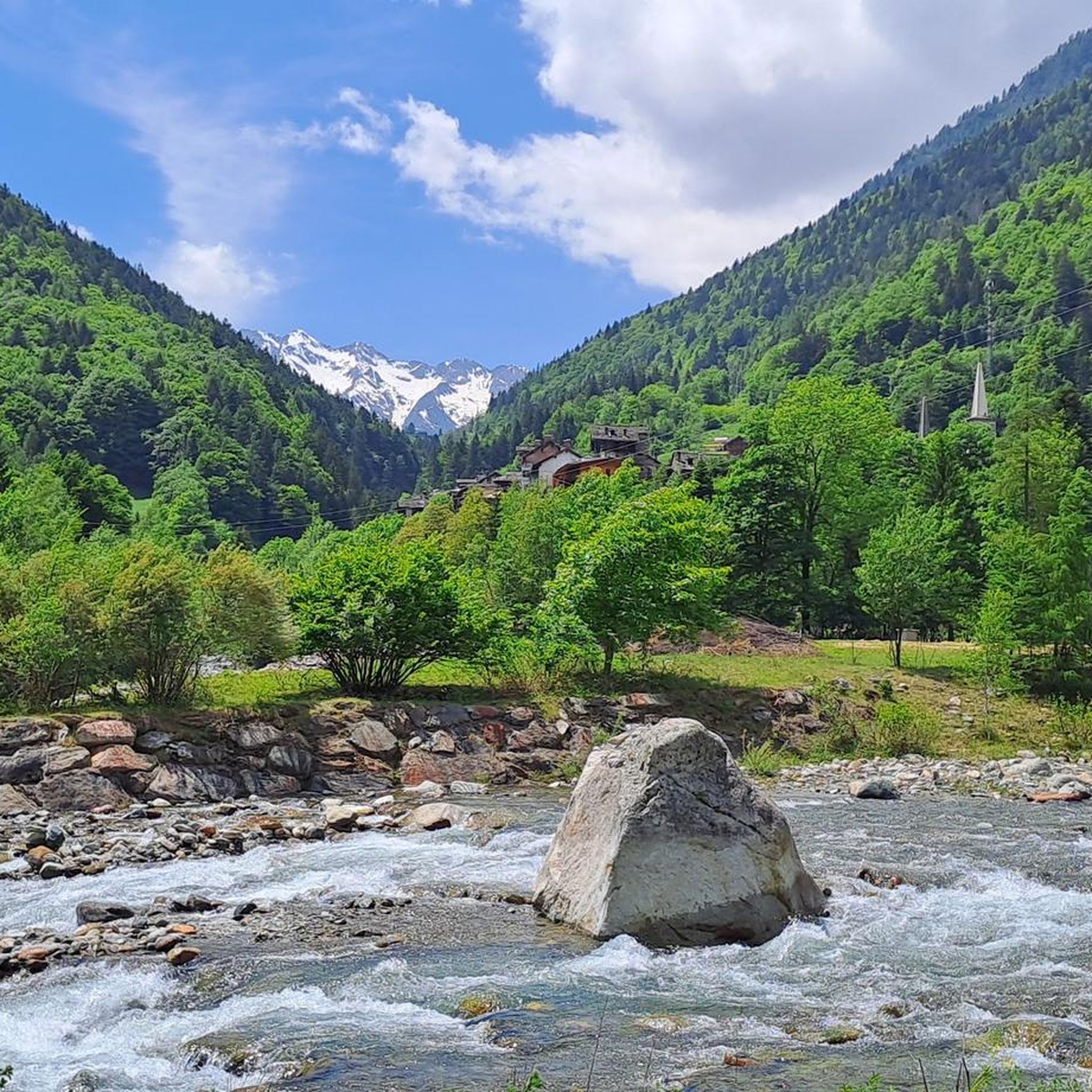
Other adventures around Riva Valdobbia

Tips from the Community

Incredible panorama and very beautiful tour
0
0

A slightly smaller lake among the others that are part of the Palasina lakes, at the beginning of a steep climb that also leads to the Long Lake
0
0
First lake you meet after Alpe Palasina, very beautiful and divided into two wide bodies of water
0
0

The ascent over the Lys Glacier is comparatively gentle and easy to walk. As the altitude increases, the view opens up: to the right of the Lyskamm, the Matterhorn appears, and to its right, the Zermatt range with Dent Blanche, Obergabelhorn, Zinalrothorn, and Weisshorn. At the Lysjoch, you reach a central point in the Monte Rosa area. From here, several 4000-meter peaks are close together and can be easily combined – depending on your condition and the circumstances. Directly visible are the Zumsteinspitze and the Signalkuppe with the highest mountain hut in the Alps, as well as the Parrotspitze, Ludwigshöhe, Schwarzhorn, Balmenhorn, and Vincent Pyramid. For a circuit over several of the easier 4000-meter peaks, the Lys Glacier is an ideal approach: the ascent remains moderate, the orientation is clear, and from the Lysjoch, the summits can be connected logically and efficiently.
0
0
One of the "easiest" 4000m peaks, from whose summit plateau the view extends far into the Bernina Range and to Mont Blanc. On the other side, you can see the nearby peaks Schwarzhorn, Parrotspitze, Signalkuppe with the highest mountain hut in the Alps (Campagna Margherita) and Zumsteinspitze.
0
0
One of the "easiest" 4000m peaks, from whose summit plateau the view extends far to Mont Blanc. The shortest route is directly from the Mantova or Gnifetti hut, but then the ascent is steeper than if you take the relatively gentle ascent to the Lysjoch and from there head towards the Vincent Pyramid or climb one of the other peaks (Ludwigshöhe and/or Balmenhorn) beforehand and the Vincent Pyramid forms the final summit before the descent.
0
0

wonderfully beautiful landscape here
2
0
Frequently Asked Questions
How many mountaineering routes are available around Riva Valdobbia?
There are 12 mountaineering routes detailed around Riva Valdobbia. These routes offer diverse experiences, from challenging ascents to high-alpine traverses.
What is the general difficulty level of mountaineering routes in Riva Valdobbia?
The majority of mountaineering routes in Riva Valdobbia are considered difficult, with 11 out of 12 routes falling into this category. There is also one moderate route available. These routes often involve high-alpine environments, glacier crossings, and significant elevation changes.
What natural landmarks can I expect to see along the mountaineering routes?
Mountaineering in Riva Valdobbia offers breathtaking views of the Monte Rosa Massif. You can also encounter significant natural landmarks such as the Alta Valsesia Nature Park, Europe's highest park, and the prominent Vincent Pyramid. Other notable features include Balmenhorn, Colle del Turlo, and the serene Pinter Lakes.
Are there any circular mountaineering routes in the area?
Yes, several routes are designed as loops. For example, you can explore the Vincent Pyramid – Rifugio Città di Mantova loop from Piramide Vincent, or the Rifugio Città di Mantova loop from Alpenhutten Lys. Another option is the Lago della Vecchia – Rifugio Lago della Vecchia loop from Piedicavallo.
What do other mountaineers say about the routes in Riva Valdobbia?
The mountaineering routes around Riva Valdobbia are highly regarded by the komoot community, holding an impressive average rating of 4.8 stars from over 20 reviews. Mountaineers frequently praise the challenging ascents, the stunning high-alpine scenery, and the access to significant alpine refuges.
What is the best season for mountaineering in Riva Valdobbia?
While the region offers winter activities like ski touring, the challenging peaks and glacier crossings typical of mountaineering routes around Riva Valdobbia are generally best undertaken during the warmer months, typically from late spring to early autumn, when conditions are more stable and glaciers are more accessible. Always check current weather and snow conditions before heading out.
Are there any specific refuges accessible via these routes?
Yes, the region is known for its high-altitude refuges that serve as crucial bases for mountaineering. Routes often lead to or pass by refuges such as Rifugio Città di Mantova and Rifugio Barba Ferrero. The broader Monte Rosa Massif also features the Ospizio Sottile refuge and the Abate Carestia refuge, with the ultimate goal for many being the Capanna Margherita.
Can I find routes that offer views of the Monte Rosa Massif?
Absolutely. Riva Valdobbia is renowned for its breathtaking and complete views of the south-east face of the Monte Rosa Massif. Many mountaineering routes, such as the Vincent Pyramid – Rifugio Città di Mantova loop from Piramide Vincent, are specifically chosen for their panoramic vistas of this majestic mountain range.
Are there any historical or cultural points of interest along the mountaineering trails?
Beyond the natural beauty, the region is rich in Walser history. The Val Vogna valley, accessible from Riva Valdobbia, features charming Walser villages and ancient communication routes like the 'Via Regia'. The village of Riva Valdobbia itself and its surrounding hamlets, such as Balma, Buzzo, and Rabenardo, showcase centuries-old Walser traditions and architecture, adding a unique cultural dimension to your outdoor experience.
Are there any waterfalls near the mountaineering routes?
While the mountaineering routes focus on high-alpine terrain, the broader Riva Valdobbia area is home to several beautiful waterfalls. You can find highlights like Acqua Bianca Waterfall, Rio Passone Waterfalls, and Otro Waterfall, which can be explored separately or as part of other hiking excursions in the region.
What kind of terrain can I expect on these mountaineering routes?
The terrain around Riva Valdobbia is highly diverse, ranging from wild valleys like Val Vogna to the high-altitude landscapes of the Alta Valsesia Natural Park. Mountaineers can expect challenging ascents, rocky paths, and glacier crossings, particularly on routes leading to higher peaks and refuges. The area also features compact granite for technical climbing.
Is public transport available to reach Riva Valdobbia or its trailheads?
Riva Valdobbia is nestled in the Valsesian mountains. While specific public transport details for reaching individual trailheads are not provided, the village itself is a known destination. For detailed information on public transport options to Riva Valdobbia, it's advisable to consult local transport authorities or tourist information services.
Are there any permits required for mountaineering in the Alta Valsesia Natural Park?
Riva Valdobbia is situated within or provides access to the Alta Valsesia Natural Park. While the guide does not specify permit requirements for general mountaineering, it is always recommended to check with the park authorities or local tourist office for any necessary permits, especially for specific routes, high-altitude access, or protected areas within the park. You can find more information about the region at Visit Valsesia Vercelli.
Most popular attractions around Riva Valdobbia

Get inspired with the komoot mobile app


Explore more
Browse the best Mountain Hikes & Routes in other regions.
