The best walks and hikes around Riva Valdobbia
4.6
(995)
5,455
hikers
41
hikes
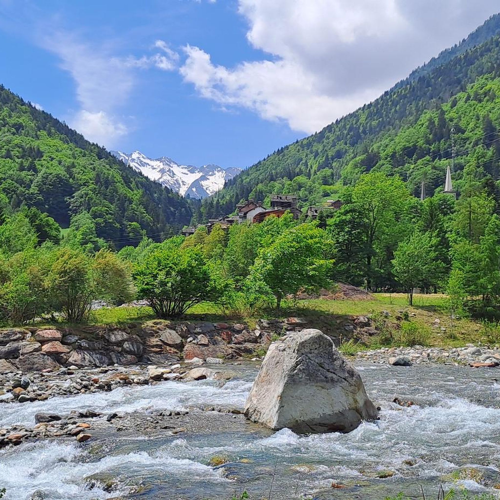
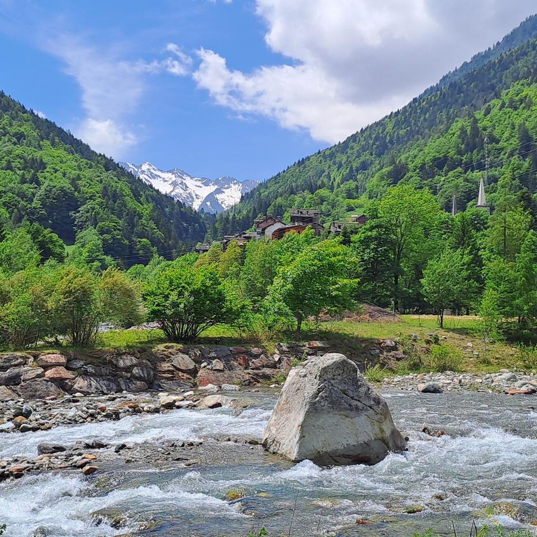
Hiking around Riva Valdobbia offers access to the Valsesia region, characterized by its position on the right bank of the Sesia River and panoramic views of the Monte Rosa massif. The terrain includes the wild Val Vogna, featuring ancient Walser settlements and alpine pastures. Significant mountain passes like Colle Valdobbia and peaks such as Cima Mutta define the landscape, which is part of the Alta Valsesia Natural Park.
Best hiking trails around Riva Valdobbia
- The most popular hiking route is…
Last updated: October 10, 2026
4.7
(86)
327
hikers
6.39km
03:20
570m
570m
The Val d'Otro Walser Villages Loop offers a moderate hiking experience, guiding you from Alagna Valsesia through varied landscapes. You will start on paved paths and stone steps, soon transitioning…
4.7
(83)
450
hikers
13.2km
05:16
740m
740m
Embark on a difficult 8.2-mile (13.2 km) hike to Alpe Peccia and Alpe Larecchio, gaining 2434 feet (742 metres) in elevation over approximately 5 hours and 15 minutes. You will…

4.6
(63)
281
hikers
13.5km
04:24
530m
530m
Embark on a moderate hike through Valle Vogna, following the historic Route 201. This 8.4-mile (13.5 km) journey takes you past charming Walser villages like Sant'Antonio and Peccia, showcasing beautiful…
4.7
(22)
164
hikers
6.25km
03:57
730m
730m
Hard hike. Good fitness required. Sure-footedness, sturdy shoes and alpine experience required.
4.8
(8)
108
hikers
6.28km
01:56
190m
190m
Embark on Via Alpina Blue Trail: Stage D16, a moderate hiking route that guides you through the picturesque Vogna Valley. This stage covers 3.9 miles (6.3 km) and involves an…
Get access to more routes and recommendations from other explorers.
Already have an account?
Our route recommendations are based on thousands of hikes, rides, and runs completed by other people on komoot.
Start today with a free account
Your next adventure awaits.


Other adventures around Riva Valdobbia

Tips from the Community

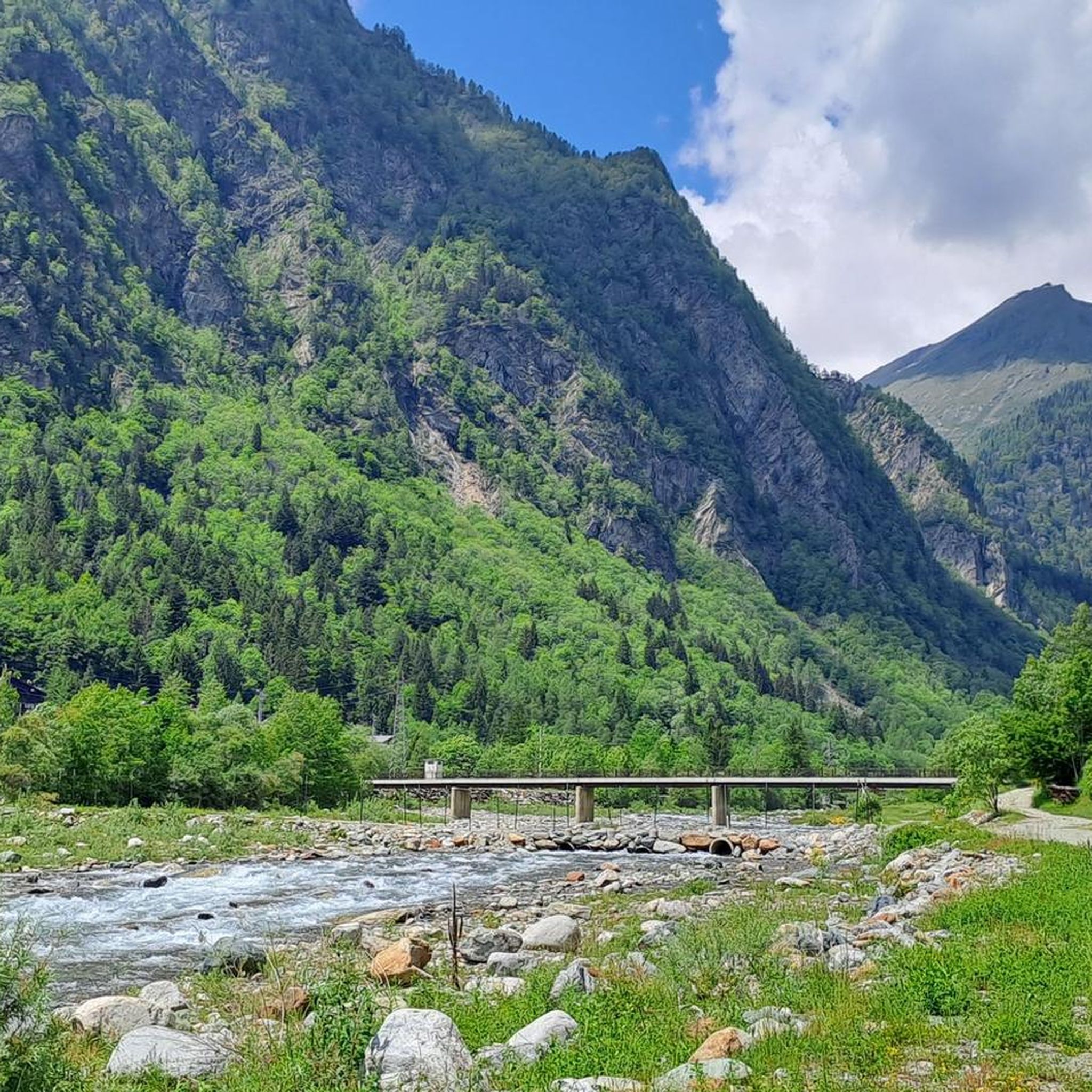
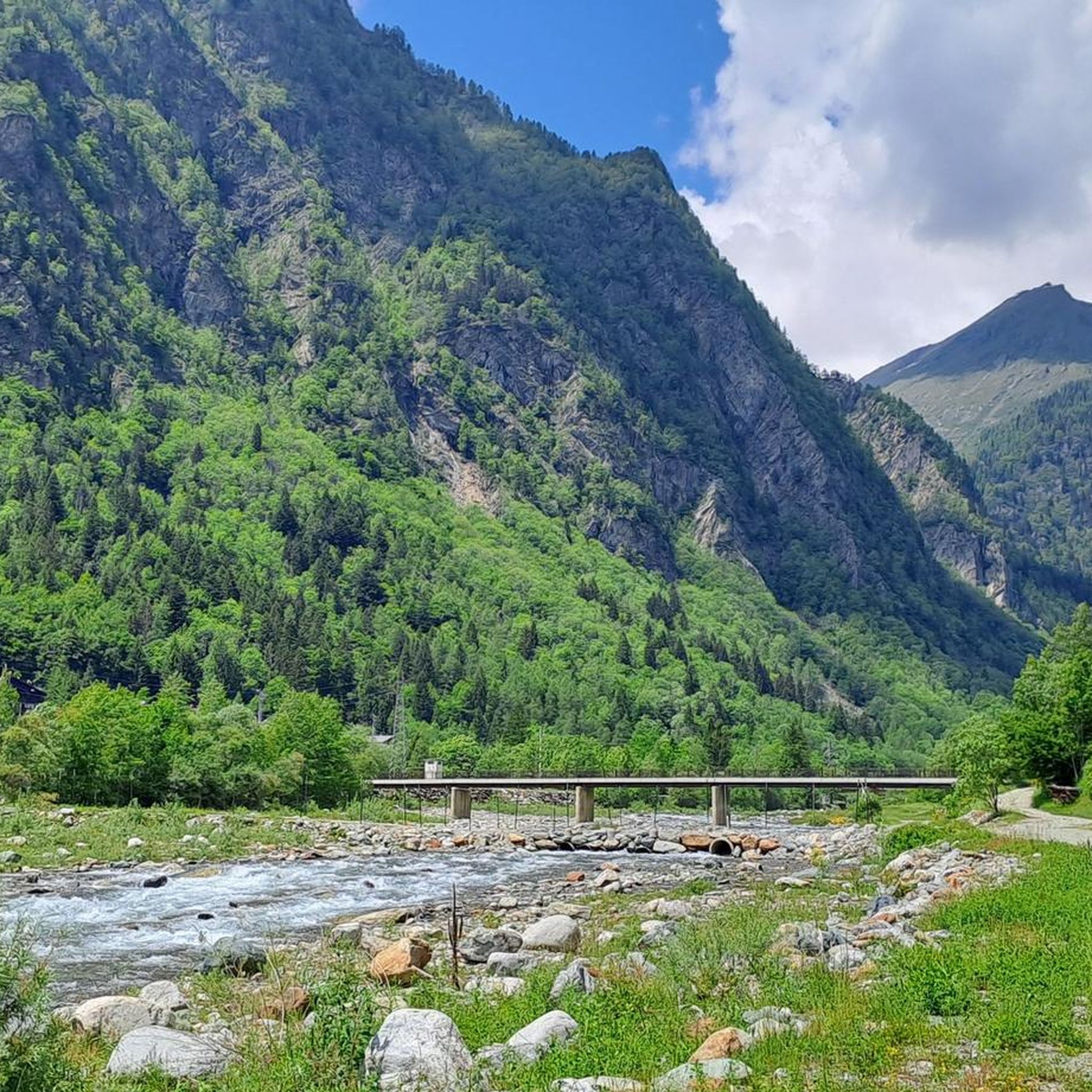
The following text is freely adapted from the book "Ribelli in montagna" by Alessandro Orsi, to clarify the events that led to the construction of this stone bridge. At the beginning of the 1800s, the Napoleonic Italian Legion was formed in Provence, composed of Italian exiles and commanded by General Giuseppe Lechi. The legion crossed the Alps, pursuing a daring plan by Napoleon to outflank the Austrian army and rejoin the main French troops at Marengo. But the difficulties of the project were evident. The passes were still heavily snow-covered. The troops crossed the San Bernardo, laboriously hauling the artillery pieces, ascended the Val d'Ayas, passed through the Colle della Ranzola, and arrived at Gressoney S. Jean on May 24th. Lechi wrote to his superiors that the Valdobbia pass was absolutely impassable for artillery, but his commanding general ordered them to proceed and to reach Varallo irrevocably within four days. Guided by officers of Valsesian origin, 2,500 men with heavy artillery pieces passed through the Colle di Valdobbia on May 27th, in still very deep snow and amidst the dangers of slips and avalanches. Upon reaching the Solivo stream, shortly before the hamlet of Peccia, the soldiers built the masonry bridge that we still cross today in just two days, transported the artillery, and reached Riva Valdobbia the same day. On May 28th, 1800, the "Compagnia Infernale" (Infernal Company), the assault unit of the Italian Legion, attacked the Austrian garrison at the gates of Varallo and defeated it. Of this memorable feat, the writings of the soldiers on the walls of San Grato and the Madonna della Neve in Val Vogna, the graves of the fallen in front of the Ursuline convent in Varallo, and a small stone bridge that has since withstood the years and the harsh mountain weather remain.
1
0
the large fresco on the facade representing the Last Judgement attributed to Melchiorre d'Errico is interesting
0
1
From here we continue towards Alpe Larecchio and the Valdobbiola hill towards the Aosta Valley
0
0
crossing point of great historical and naturalistic interest between the Peccia and Montata hamlets
0
1
interesting bridge over the Vogna stream from the Napoleonic era
0
1


Walser traditions the panels are a bit damaged but legible, except those in Peccia and S.Antonio which are illegible, unfortunately
0
0

Beautiful side valley that branches off from Alagna. Far from the ski industry, it preserves ancient Walser settlements. The village of Follu is beautiful, where the beautiful Zar Senni refuge is located. The Val d'Orto joins the Val d'Olen at the superb and severe Foric pass (2,432 m).
4
1
Frequently Asked Questions
How many hiking trails are available in Riva Valdobbia?
Riva Valdobbia offers a wide selection of over 35 hiking trails. These routes cater to various skill levels, from easy walks to challenging mountain ascents, ensuring there's something for every hiker.
What kind of terrain can I expect when hiking in Riva Valdobbia?
Hiking in Riva Valdobbia features diverse terrain, from the wild, narrow valleys of Val Vogna with its ancient Walser settlements to panoramic views of the majestic Monte Rosa massif. You'll encounter alpine pastures, significant mountain passes like Colle Valdobbia, and trails along the Sesia River, all within the protected Alta Valsesia Natural Park.
What makes hiking in Riva Valdobbia unique?
Riva Valdobbia is unique for its unparalleled panoramic views of the Monte Rosa massif, including glimpses of Capanna Margherita. The area is rich in Walser heritage, with well-preserved ancient villages and historic routes. It offers a blend of dramatic alpine scenery, cultural exploration, and diverse trails for all abilities.
What are the difficulty levels of hiking trails in Riva Valdobbia?
The trails in Riva Valdobbia range from easy to difficult. There are 4 easy routes perfect for a relaxed stroll, 12 moderate trails for those seeking a bit more challenge, and 20 difficult routes for experienced hikers looking for demanding ascents and longer distances.
Are there family-friendly hiking options in Riva Valdobbia?
Yes, Riva Valdobbia offers several easy trails suitable for families. These routes often feature gentle gradients and scenic surroundings, allowing everyone to enjoy the natural beauty of the Valsesia region. Look for trails described as 'easy' for the most family-friendly experiences.
Can I bring my dog on the trails in Riva Valdobbia?
Many trails in Riva Valdobbia are suitable for dogs, especially the less strenuous paths through valleys and alpine pastures. However, it's always advisable to keep your dog on a leash, especially in protected areas like the Alta Valsesia Natural Park, and to respect local regulations and wildlife.
Are there any circular hiking routes in Riva Valdobbia?
Yes, there are several circular hiking routes. A popular option is the Val d'Otro Walser Villages Loop, a moderate 6.4 km trail that allows you to explore historic Walser villages and enjoy panoramic mountain views before returning to your starting point.
Where can I find waterfalls along the hiking trails?
Riva Valdobbia is home to several beautiful waterfalls. You can discover highlights like Acqua Bianca Waterfall, Rio Passone Waterfalls, and Otro Waterfall. These natural features often provide refreshing stops along your hike.
What historical or cultural sites can I explore while hiking?
The region is rich in history and culture. You can explore ancient Walser settlements like those in Val Vogna, including hamlets such as Follu, Oro, and Peccia. The Walser Villages of Val d'Otro are particularly notable. Don't miss the majestic parish church of San Michele Arcangelo in Riva Valdobbia, known for its Last Judgment fresco.
What are some notable natural features or viewpoints in the area?
Beyond the Monte Rosa massif, the area boasts the picturesque Val Vogna, with its wild, mountainous terrain and the scenic Alpe Larecchio. Peaks like Cima Mutta and Corno Bianco offer challenging climbs and stunning vistas. The region also includes various alpine pastures and lakes such as Lago Bianco and Lago Nero.
Are there any long-distance or multi-day hiking opportunities?
Yes, Riva Valdobbia is part of the Alta Valsesia Natural Park and connects to historic routes. The "Via Regia" in Val Vogna and the Alta Via del Walser are examples of paths that can be incorporated into longer treks. Mountain refuges like Ospizio Sottile and Abate Carestia provide excellent bases for multi-day explorations.
What do other hikers enjoy the most about hiking in Riva Valdobbia?
The area is highly rated by the komoot community, with an average score of 4.6 stars from over 850 reviews. Reviewers often praise the stunning views of the Monte Rosa massif, the charm of the ancient Walser villages, and the variety of trails that cater to different fitness levels.
Are there any specific trails that offer a good overview of the region's heritage?
For a deep dive into the region's heritage, consider the From Sant'Antonio to Riva Valdobbia via Walser Villages (Route 201). This 13.5 km trail follows a historic emigration route, leading you through several ancient Walser villages and offering insights into the area's past.
Most popular routes around Riva Valdobbia
Most popular attractions around Riva Valdobbia

Get inspired with the komoot mobile app


Explore more
Browse the best Hikes in other regions.
