The best walks and hikes in the Shickshock Moutains
4.7
(354)
5,994
hikers
45
hikes
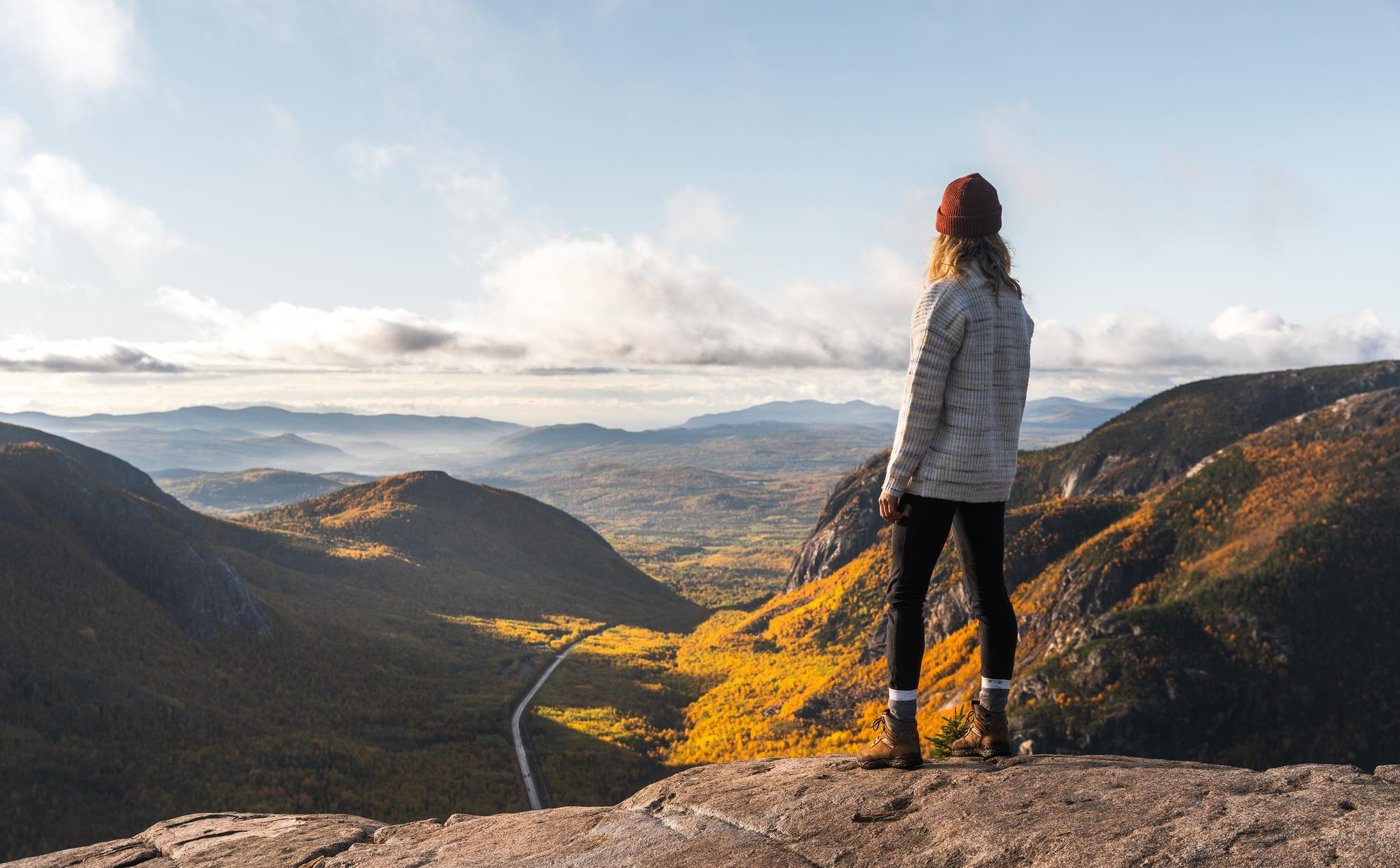
Hiking in the Shickshock Mountains, an extension of the Appalachians in Quebec, Canada, features a landscape shaped by geological activity and glacial erosion. The region is characterized by heavily eroded, rounded peaks, high plateaus, steep ridges, and deep valleys. Elevations range significantly, with over 32 peaks exceeding 3,300 feet (1,000 meters), including alpine tundra environments at higher altitudes and forests of balsam fir and white birch at lower elevations.
Best hiking trails in the Shickshock Mountains
- The most popular hiking…
Last updated: July 4, 2026
4.7
(38)
717
hikers
4.29km
01:19
160m
160m
Easy hike. Great for any fitness level. Easily-accessible paths. Suitable for all skill levels.
4.6
(5)
146
hikers
14.3km
05:32
910m
910m
Hard hike. Very good fitness required. Mostly accessible paths. Sure-footedness required.

Sign up for free
7
hikers
15.7km
05:05
710m
710m
Hard hike. Very good fitness required. Easily-accessible paths. Suitable for all skill levels.
4.7
(34)
458
hikers
8.22km
02:40
370m
370m
Moderate hike. Good fitness required. Easily-accessible paths. Suitable for all skill levels.
4.8
(24)
386
hikers
17.4km
06:34
870m
870m
Hard hike. Very good fitness required. Sure-footedness, sturdy shoes and alpine experience required.
4.9
(16)
300
hikers
2.72km
00:48
80m
80m
Easy hike. Great for any fitness level. Easily-accessible paths. Suitable for all skill levels.
4.9
(8)
252
hikers
10.5km
03:31
520m
520m
Moderate hike. Good fitness required. Easily-accessible paths. Suitable for all skill levels.
4.9
(7)
235
hikers
Moderate hike. Good fitness required. Easily-accessible paths. Suitable for all skill levels.
4.6
(17)
222
hikers
10.8km
04:20
420m
420m
Hard hike. Good fitness required. Sure-footedness, sturdy shoes and alpine experience required.
4.8
(13)
125
hikers
12.8km
03:57
440m
440m
Moderate hike. Good fitness required. Easily-accessible paths. Suitable for all skill levels.
Get access to more routes and recommendations from other explorers.
Sign up for free
Already have an account?
Our route recommendations are based on thousands of hikes, rides, and runs completed by other people on komoot.
Start today with a free account
Your next adventure awaits.
Login or Signup
Other adventures in the Shickshock Moutains

Tips from the Community

Right along Route 1 there is roadside parking and a trailhead for the Mont Blanc Trail. From here, you can expect a challenging hike with a steady 7.9 kilometre climb to the summit, which connects to the International Appalachian Trail.
0
0
Mont Blanc is the highest summit in Réserve faunique de Matane at 1,063 metres. From this summit you get a great view over the Chic-Choc Mountains and surrounding backcountry. Continuing from here, the trail connects to Mont Craggy, but it becomes a little more technical and requires some scrambling.
0
0

It is worth going down the steps but sea. There is a surprise: a waterfall!
0
0
Here are the red chairs again!
0
0

A wonderful trail with views of the mountains, you might even see moose or Gaspésie caribou.
1
0

The whole state of mind of Canada in two chairs!!!!
0
0

Great view to linger and seating to rest after the descent or before the ascent.
0
0
Great view from down here too. Short walk from the parking lot. From here you also have access to the beach when it is not closed.
0
0
Frequently Asked Questions
How many hiking trails are available in the Shickshock Mountains?
The Shickshock Mountains offer a wide variety of hiking experiences, with over 40 trails recorded on komoot. These range from easy strolls to challenging multi-day treks, catering to all skill levels.
What kind of terrain can I expect on hikes in the Shickshock Mountains?
Hikers in the Shickshock Mountains will encounter diverse terrain, including high plateaus, block fields, steep ridges, and deep valleys. The higher elevations feature unique alpine tundra environments, while lower areas are characterized by balsam fir and white birch forests. The geological structure is a mix of volcanic and sedimentary rock, shaped by millions of years of activity and glacial erosion.
Are there any family-friendly hiking options in the Shickshock Mountains?
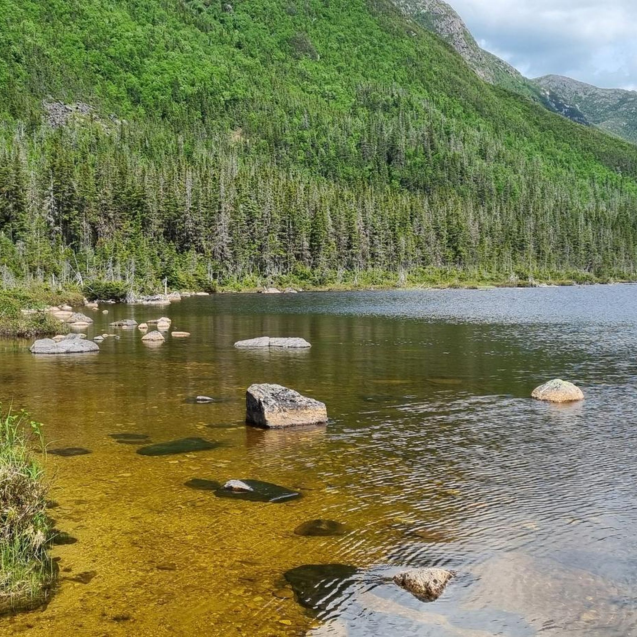
Yes, there are several easy trails suitable for families. For instance, the Lac aux Américains loop from Le Roselin is an easy 1.7-mile (2.7 km) path offering scenic views around the picturesque lake. Another accessible option is the Sentier du Mont Ernest-Laforce – Gaspésie National Park, an easy 2.7-mile (4.3 km) trail.
What are some notable natural features or landmarks to see while hiking?
The Shickshock Mountains are rich in natural beauty. You can visit the picturesque Lac aux Américains, a starting point for several trails. Don't miss the beautiful Devil's Falls, where the sound of falling water is a serene feature. For panoramic views, the Mont-Saint-Alban Observation Tower offers stunning vistas.
What is the best time of year to hike in the Shickshock Mountains?
The best time for hiking is generally from late spring to early autumn. Summer offers lush landscapes and comfortable temperatures. Fall brings vibrant foliage. Higher elevations, especially on peaks like Mont Albert and Mont Jacques-Cartier, feature alpine tundra and can be exposed to colder conditions and snow earlier or later in the season. Some areas may have seasonal access restrictions due to caribou protection.
Are there any challenging or advanced multi-day hikes available?
Yes, the Shickshock Mountains are known for their challenging routes, including sections of the International Appalachian Trail (IAT) which offer multi-day trekking. Ascents of prominent peaks like Mont Albert and Mont Jacques-Cartier are considered difficult and require good fitness and experience. An example of a challenging route is the Devil's Falls – Chute Sainte-Anne Waterfall loop from P2 La Vallée, a difficult 10.8-mile (17.4 km) hike.
What do other hikers enjoy most about the Shickshock Mountains?
The Shickshock Mountains are highly rated by the komoot community, with an average score of 4.7 stars from over 310 reviews. Hikers often praise the breathtaking panoramic views from the summits, the unique alpine tundra environments, and the extensive network of trails that cater to various difficulty levels. The presence of diverse wildlife, including moose and caribou, is also a highlight for many.
Are there any circular hiking routes in the Shickshock Mountains?
Yes, many trails in the Shickshock Mountains are designed as loops, allowing hikers to experience diverse scenery without retracing their steps. Examples include the Rocky Hiking Trail – Wooden Boardwalk Trail loop from Navette Mont-Jacques-Cartier (retour), a moderate 5.3-mile (8.5 km) route, and the Pic du Brûlé – View of the Mountains loop from Lac Cascapedia, a moderate 8-mile (12.8 km) hike.
Is public transport available to access trailheads in the Shickshock Mountains?
Access to trailheads within the Shickshock Mountains, particularly in Parc national de la Gaspésie and Réserve faunique des Chic-Chocs, often requires personal vehicle transport. While specific public transport routes directly to all trailheads might be limited, it's advisable to check with local tourism offices or park authorities for any shuttle services or organized tours that might be available during peak seasons.
Are permits required for hiking in the Shickshock Mountains?
Yes, as much of the Shickshock Mountains are protected within Quebec's Parc national de la Gaspésie and the Réserve faunique des Chic-Chocs, permits or entry fees are typically required to access the parks and their trail networks. It's recommended to check the official websites of these parks for current regulations, fees, and any necessary reservations before your visit.
Can I spot wildlife while hiking in the Shickshock Mountains?
The Shickshock Mountains are a prime location for wildlife observation. The region boasts the highest concentration of moose in Quebec, and caribou can be found on the plateaus, particularly on Mont Jacques-Cartier. Hikers might also encounter various bird species and other forest animals. Remember to maintain a respectful distance and avoid disturbing the wildlife.
What are the conditions like for winter hiking or snowshoeing?
The Shickshock Mountains receive significant annual snowfall, making them a popular destination for winter activities. While some trails are suitable for snowshoeing, like Le Petit Saut, and backcountry skiing is popular in areas such as Mont Hogs Back and Mont Albert, winter conditions can be severe. Hikers should be well-prepared with appropriate gear, experience, and knowledge of avalanche safety, especially in higher elevations.
Most popular routes in the Shickshock Moutains
Most popular attractions in the Shickshock Moutains

Get inspired with the komoot mobile app


Explore more
Browse the best Hikes in other regions.
