The best road cycling routes around Wittlich
4.5
(538)
8,217
riders
87
rides
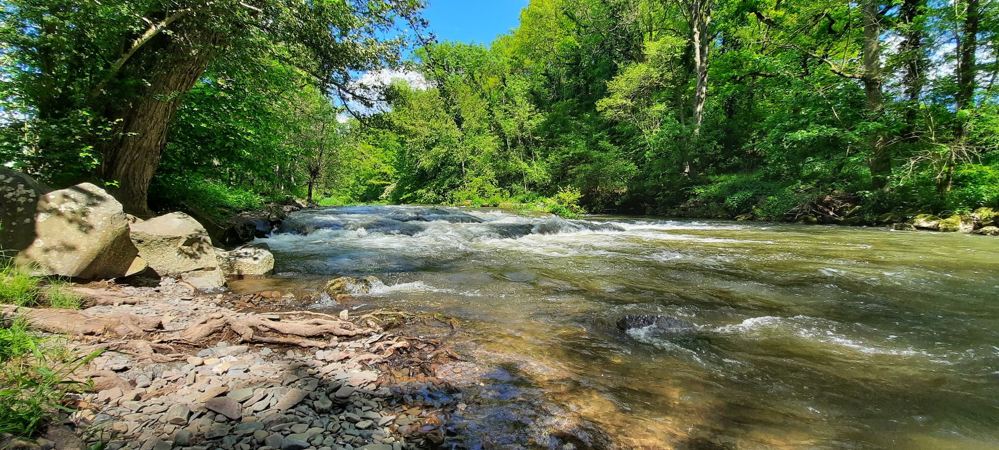
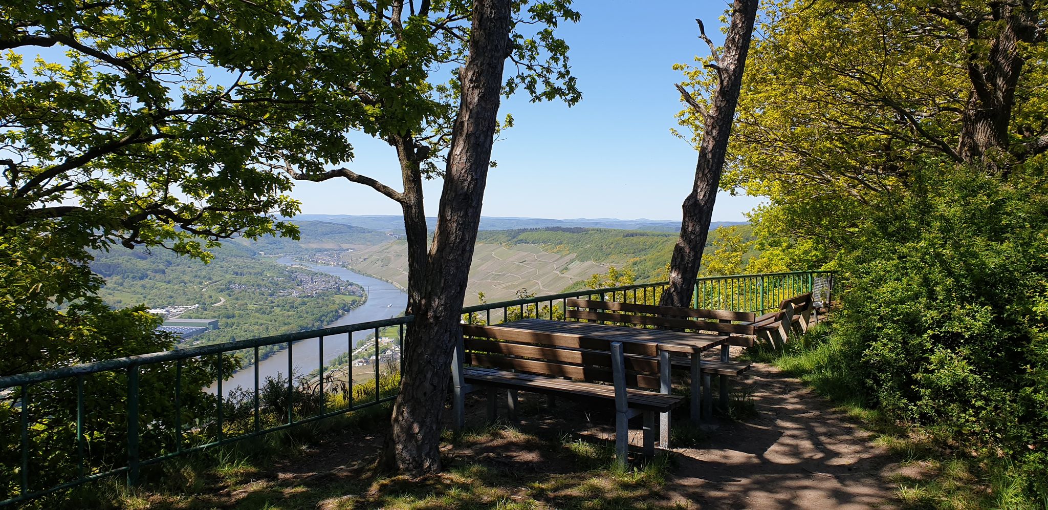
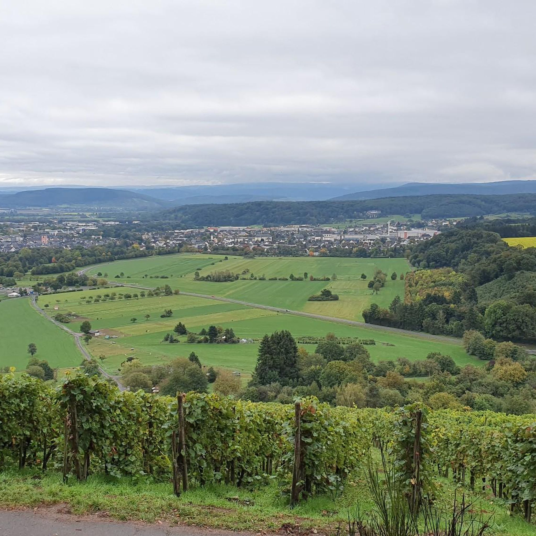
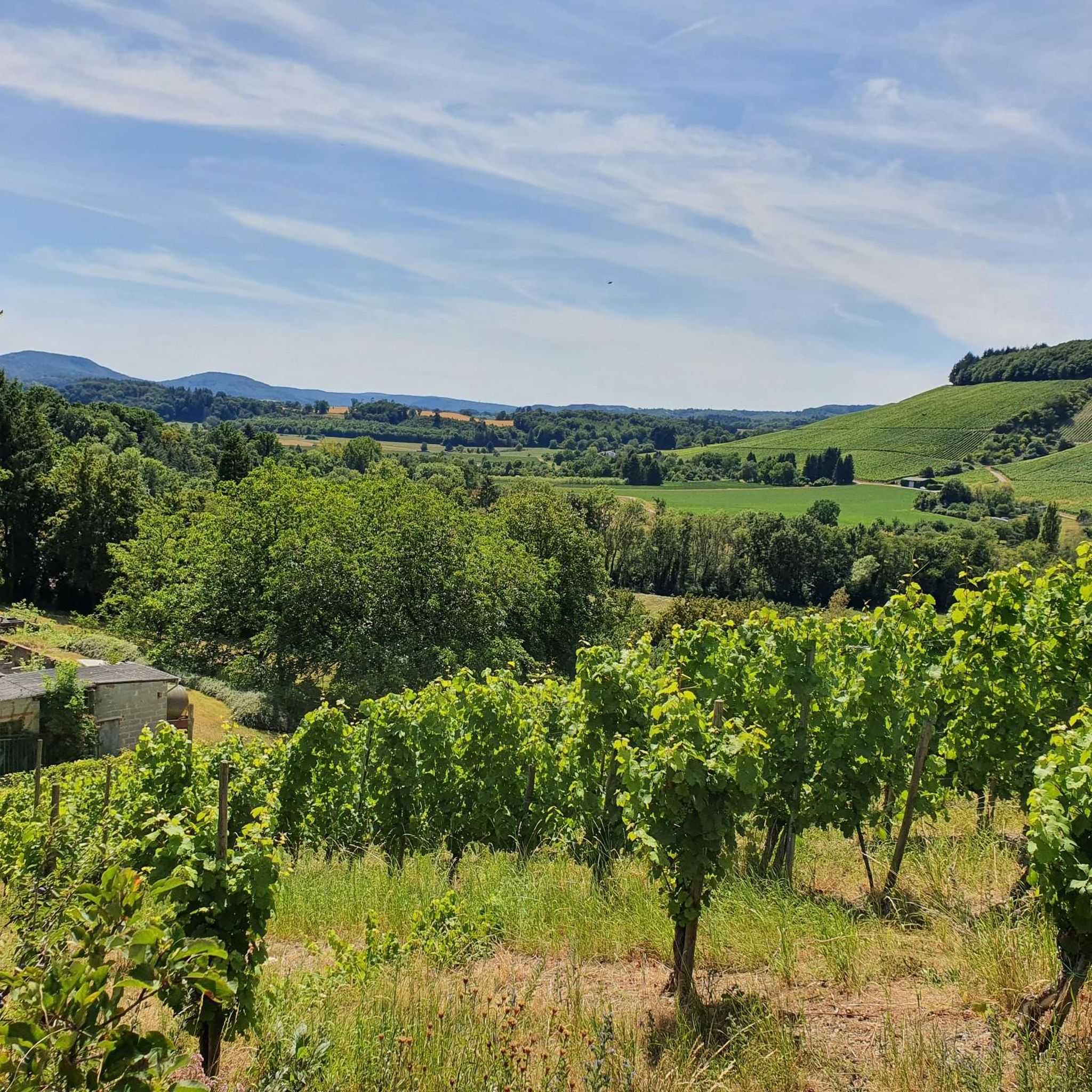
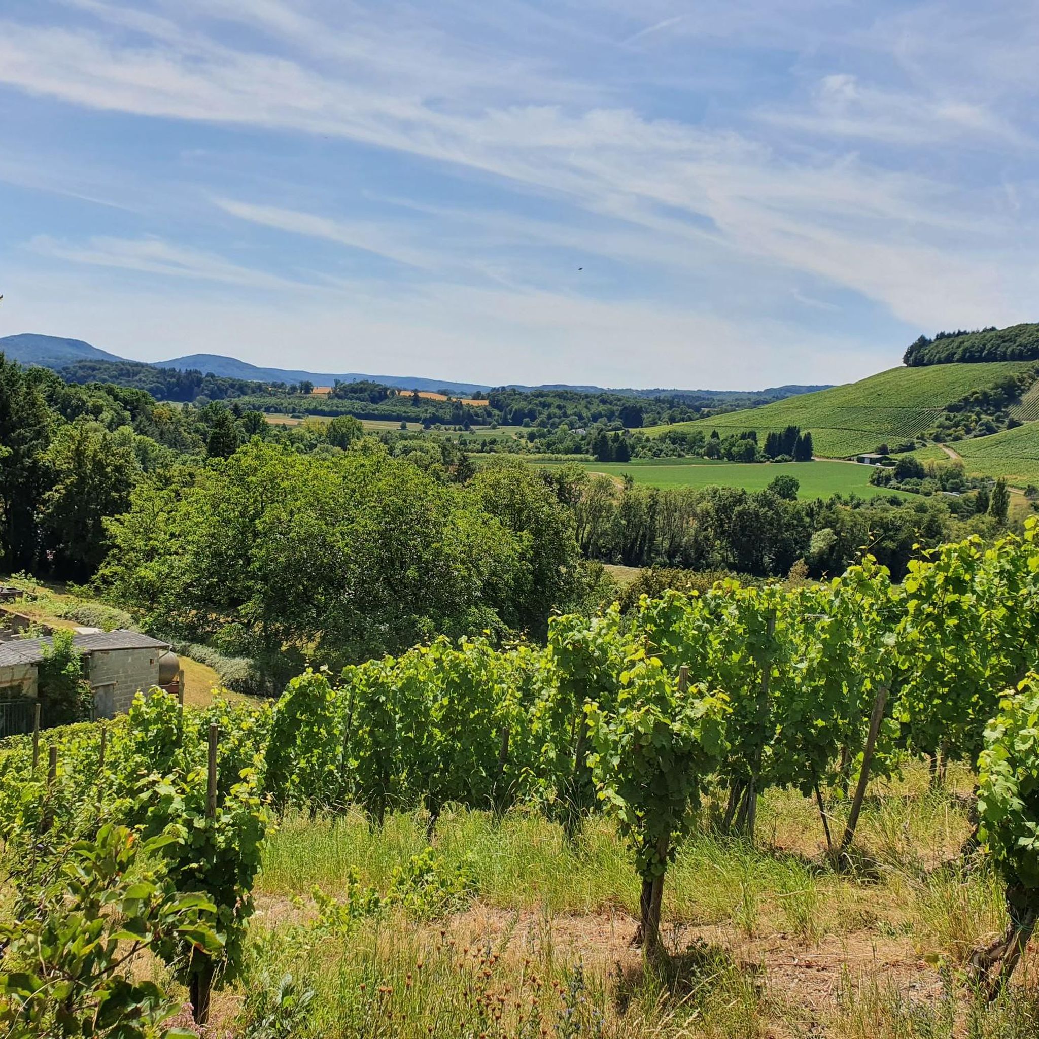
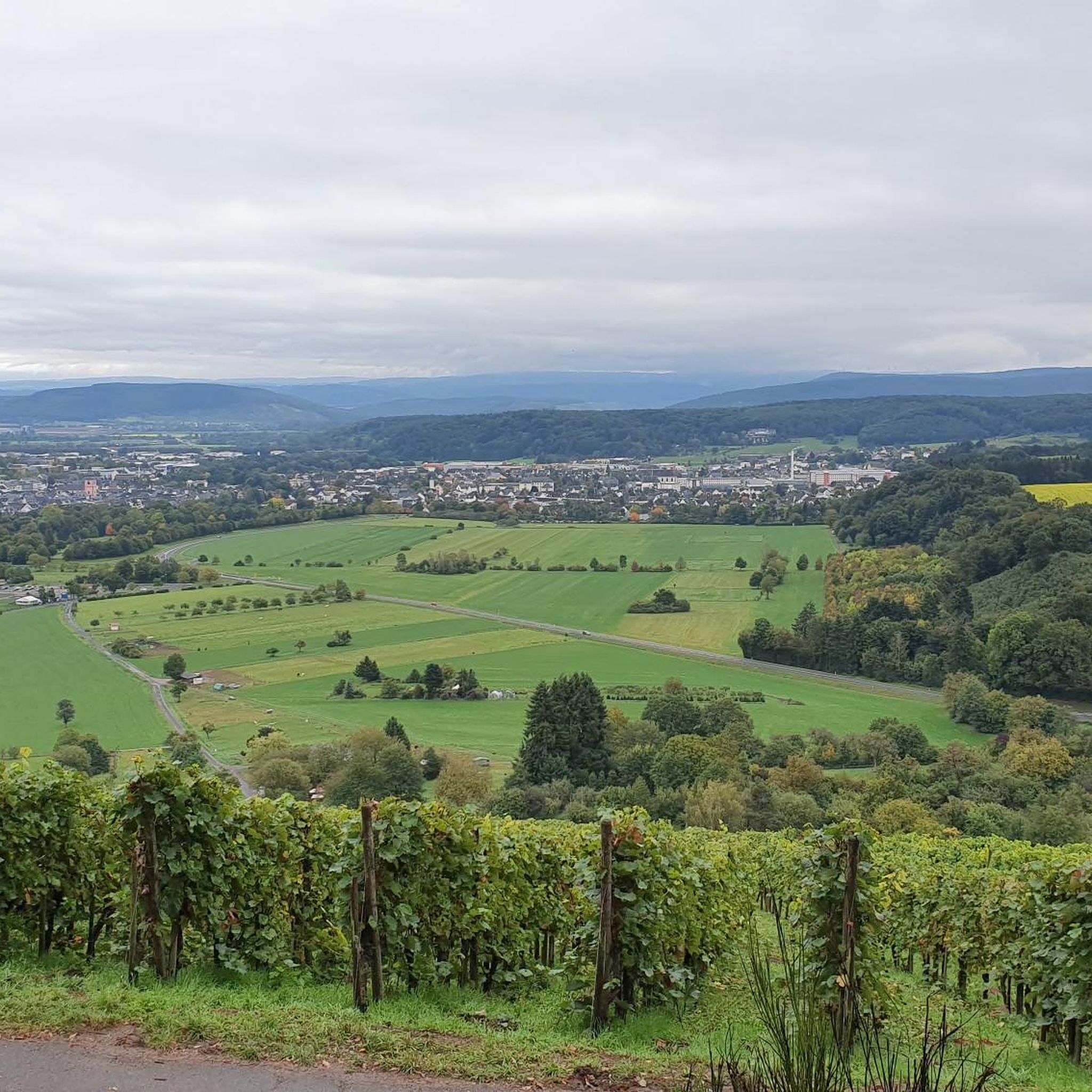
Road cycling routes around Wittlich traverse a landscape shaped by river valleys, notably the Mosel and Lieser, and rolling hills. The region features extensive vineyards, particularly along the Mosel, and sections of former railway lines converted into cycling paths, often passing through tunnels. Elevation changes are present, ranging from gentle gradients along riverbanks to more challenging ascents in vineyard areas.
Best road cycling routes around Wittlich
- The most popular road cycling route is Mosel-Maare Cycle Path – Salmrohr Climbing Wall…
Last updated: July 7, 2026
4.6
(18)
137
riders
55.5km
02:31
400m
400m
Moderate road ride. Good fitness required. Some segments of this route may be unpaved and difficult to ride.
4.5
(2)
107
riders
90.6km
04:11
1,080m
1,080m
Hard road ride. Very good fitness required. Some segments of this route may be unpaved and difficult to ride.

Sign up for free
5.0
(9)
247
riders
Hard road ride. Very good fitness required. Mostly well-paved surfaces and easy to ride.
4.2
(10)
100
riders
44.7km
01:50
220m
220m
Easy road ride. Great for any fitness level. Mostly well-paved surfaces and easy to ride.
3.6
(5)
84
riders
Easy road ride. Great for any fitness level. Mostly well-paved surfaces and easy to ride.
Get access to more routes and recommendations from other explorers.
Sign up for free
Already have an account?
Our route recommendations are based on thousands of hikes, rides, and runs completed by other people on komoot.
Start today with a free account
Your next adventure awaits.
Login or Signup
Popular around Wittlich



Tips from the Community

Not always nice, the Mosel cycle path. Here along the federal highway.
0
0


🏘️ Platten is an idyllic wine village that is often mentioned in connection with the Moselle, but strictly speaking lies in the picturesque side valley of the Lieser – only about 4 km from the mouth of the Moselle.
0
0
🚢 On the Moselle River, places for shipping are not marked by classic yellow town signs (like on roads), but by specific nautical signs and landmarks. The boat landing (Lieser Moselstraße) Lieser has an official boat landing on the banks of the Moselle (near Moselstraße 28). This is marked for captains and passengers by the typical white piers used by excursion boats (e.g., the passenger shipping company Gebr. Kolb). Often, signs with the town name can also be found directly on the riverbank railing or at the waiting shelters.
2
0

What a great tunnel, over 500m Video on Instagram "biketime1979"
0
0
It's really cool to drive here...
0
0

A beautiful former railway bridge. It's beautiful to look at from both above and below.
1
0

In summer, only e-bike egos are on the road – nasty situation! 😅
0
0
Frequently Asked Questions
How many road cycling routes are available around Wittlich?
There are nearly 90 road cycling routes around Wittlich documented on komoot, offering a wide range of options for different skill levels and preferences.
Are there easy road cycling routes suitable for beginners or families in Wittlich?
Yes, Wittlich offers several easy road cycling routes. For instance, the Mosel-Maare Cycle Path – Lieser flows into the Moselle loop from Wittlich is an easy 43.3 km (26.9 miles) route, ideal for a more relaxed ride. Another accessible option is the Mosel-Maare Cycle Path – Platten Archway Entrance loop from Wittlich Hauptbahnhof, which is 22.5 km (14 miles) long.
What kind of scenery can I expect on road cycling routes in Wittlich?
Road cycling routes around Wittlich are known for their diverse scenery. You'll traverse picturesque river valleys, particularly along the Mosel and Lieser, extensive vineyards, and rolling hills. Many routes also incorporate sections of former railway lines, which often pass through interesting tunnels.
Are there challenging road cycling routes for experienced cyclists?
Absolutely. For those seeking a challenge, Wittlich has difficult routes with significant elevation gain. The Großes Schlitzohr Tunnel – Grünewald Tunnel loop from Wittlich Hauptbahnhof is a demanding 90.4 km (56.2 miles) path, and the Bremmer Calmont Vineyards – Traben-Trarbach Bridge Gate loop from Wittlich Hauptbahnhof covers 137.8 km (85.6 miles) through the challenging Bremmer Calmont Vineyards.
What are some notable landmarks or attractions I might see along the routes?
Many routes offer views of historical sites and natural beauty. You might pass by the charming Bernkastel-Kues Old Town or its Market Square. Engineering marvels like the High Moselle crossing and the Grünewald Viaduct are also visible. For natural sights, some routes might bring you close to the Elf Grotto and Elbesbach Waterfall or the Wolfsschlucht (Vulkaneifel).
What do other road cyclists say about the routes in Wittlich?
The road cycling routes in Wittlich are highly regarded by the komoot community, with an average rating of 4.3 stars from over 90 reviews. Cyclists often praise the varied terrain, from gentle riverside paths to challenging vineyard climbs, and the well-maintained cycle paths, including those on converted railway lines.
Are there many loop routes available for road cycling in Wittlich?
Yes, many of the road cycling routes around Wittlich are designed as loops, allowing you to start and finish at the same point. Examples include the popular Mosel-Maare Cycle Path – Salmrohr Climbing Wall loop from Wittlich and the longer Großes Schlitzohr Tunnel – Grünewald Tunnel loop from Wittlich Hauptbahnhof.
What is the best season for road biking in Wittlich?
The region's climate makes spring through autumn ideal for road cycling. Spring offers blooming vineyards and mild temperatures, while summer provides warm, sunny days. Autumn is particularly scenic with the changing colors of the vineyards and forests. Always check local weather conditions before heading out.
Are there road cycling routes that pass by cafes or places to stop for refreshments?
Given the popularity of cycling in the Mosel region, many routes, especially those along the river valleys and through towns, will have opportunities to stop at cafes, restaurants, or wineries. The towns and villages along the Mosel-Maare Cycle Path are particularly well-equipped with refreshment options.
How long are the road cycling routes around Wittlich typically?
The routes vary significantly in length to accommodate all preferences. You can find shorter routes like the Mosel-Maare Cycle Path – Platten Archway Entrance loop from Wittlich Hauptbahnhof at 22.5 km (14 miles), to moderate rides around 55 km (34 miles), and challenging long-distance tours exceeding 130 km (80 miles).
Are there less crowded road cycling options in Wittlich?
While popular routes like sections of the Mosel-Maare Cycle Path can see more traffic, especially on weekends, Wittlich's extensive network of nearly 90 routes means you can often find quieter roads. Exploring routes that venture into the rolling hills away from the main river valleys can offer a more tranquil experience.
Most popular routes around Wittlich
Most popular attractions around Wittlich

Get inspired with the komoot mobile app


Explore more
Browse the best Road cycling routes in other regions.
