The best walks and hikes around the Segre
4.5
(2792)
26,614
hikers
392
hikes
Hiking around the Segre offers diverse landscapes, from the impressive mountain ranges of the Parc Natural del Cadí-Moixeró to lush valleys and the winding Segre River. The region is characterized by significant elevation changes, with peaks exceeding 2,500 meters rising from valleys at around 900 meters above sea level. Natural features include the iconic Pedraforca Massif and the Utxesa Reservoir, providing varied terrain for outdoor activities.
Best hiking trails around the Segre
- The most popular hiking route is Passet and…
Last updated: June 23, 2026
4.7
(18)
58
hikers
9.47km
02:59
280m
280m
Moderate hike. Good fitness required. Mostly accessible paths. Sure-footedness required.
4.8
(15)
79
hikers
14.2km
04:48
660m
650m
Moderate hike. Good fitness required. Mostly accessible paths. Sure-footedness required.

Sign up for free
4.7
(16)
67
hikers
5.29km
01:29
100m
100m
Easy hike. Great for any fitness level. Easily-accessible paths. Suitable for all skill levels.
4.7
(15)
65
hikers
7.52km
02:35
210m
210m
Moderate hike. Good fitness required. Mostly accessible paths. Sure-footedness required.
4.7
(13)
62
hikers
9.34km
02:57
340m
340m
Moderate hike. Good fitness required. Easily-accessible paths. Suitable for all skill levels.
4.7
(15)
60
hikers
8.52km
02:52
300m
300m
Moderate hike. Good fitness required. Mostly accessible paths. Sure-footedness required.
4.4
(5)
43
hikers
7.24km
02:08
220m
220m
Moderate hike. Good fitness required. Easily-accessible paths. Suitable for all skill levels.
4.3
(3)
14
hikers
7.01km
02:47
540m
540m
Moderate hike. Good fitness required. Easily-accessible paths. Suitable for all skill levels.
4.5
(2)
15
hikers
12.8km
03:15
40m
40m
Moderate hike. Good fitness required. Easily-accessible paths. Suitable for all skill levels.
4.5
(4)
11
hikers
14.1km
04:07
390m
390m
Moderate hike. Good fitness required. Easily-accessible paths. Suitable for all skill levels.
Get access to more routes and recommendations from other explorers.
Sign up for free
Already have an account?
Our route recommendations are based on thousands of hikes, rides, and runs completed by other people on komoot.
Start today with a free account
Your next adventure awaits.
Login or Signup
Popular around Segre
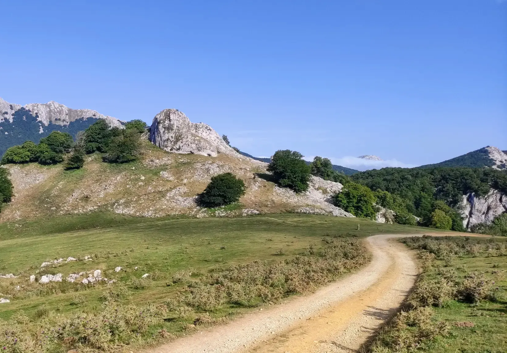
The Ignatian Way - In the footsteps of Ignatius of Loyola
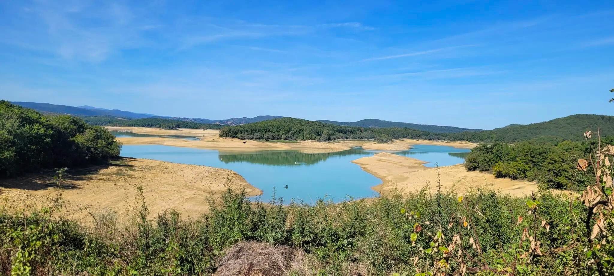
Plains, hills and mountains – GR 7 in the heart of France’s Occitania
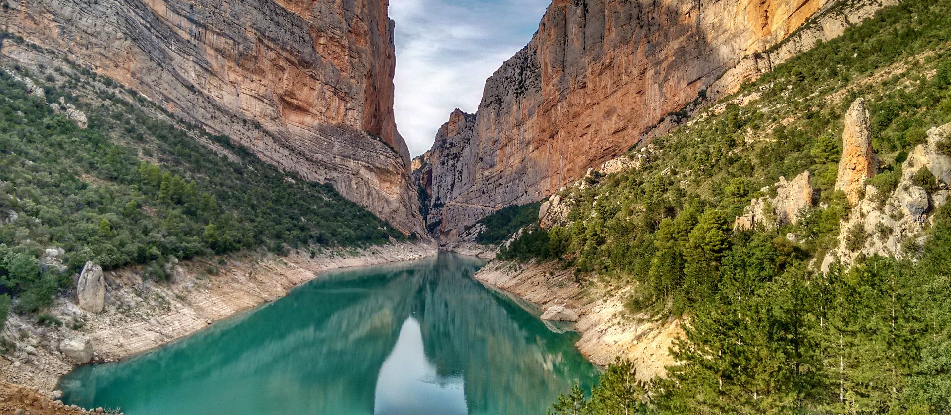
Lleida to El Pont d'Orrit – Sendero Central de Cataluña (GR3)
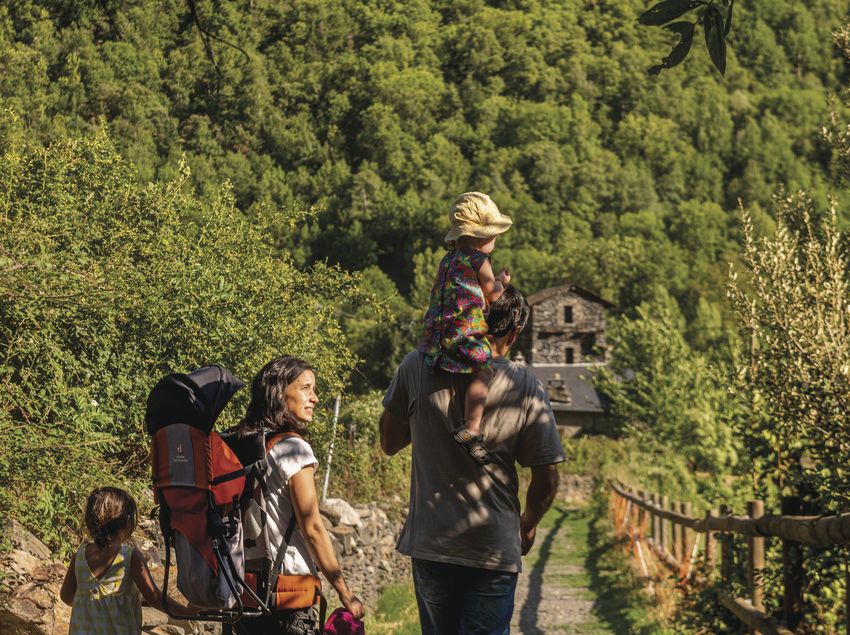
Hike with your family in Catalonia
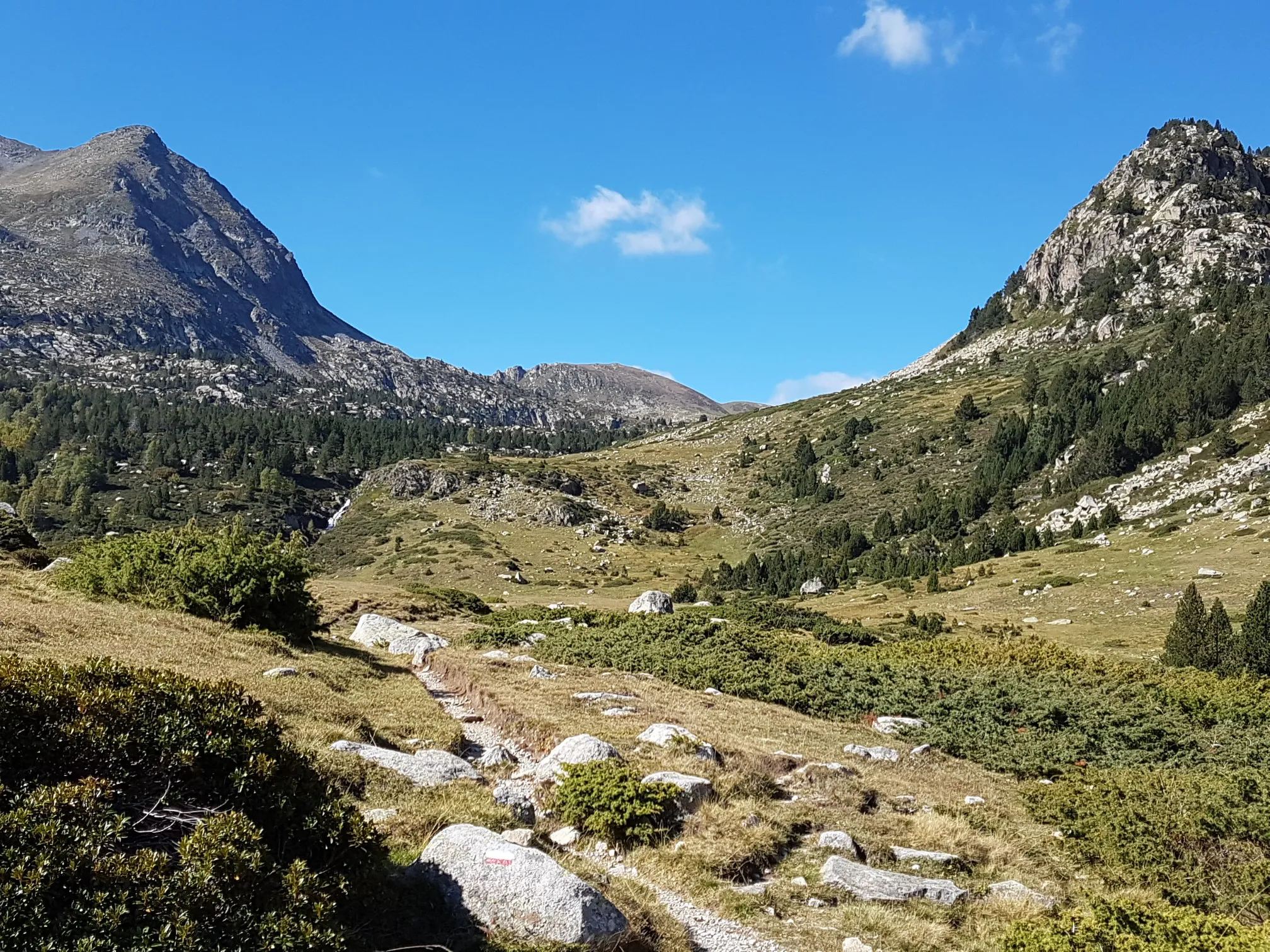
Le chemin des Bonshommes — In the footsteps of the Cathars
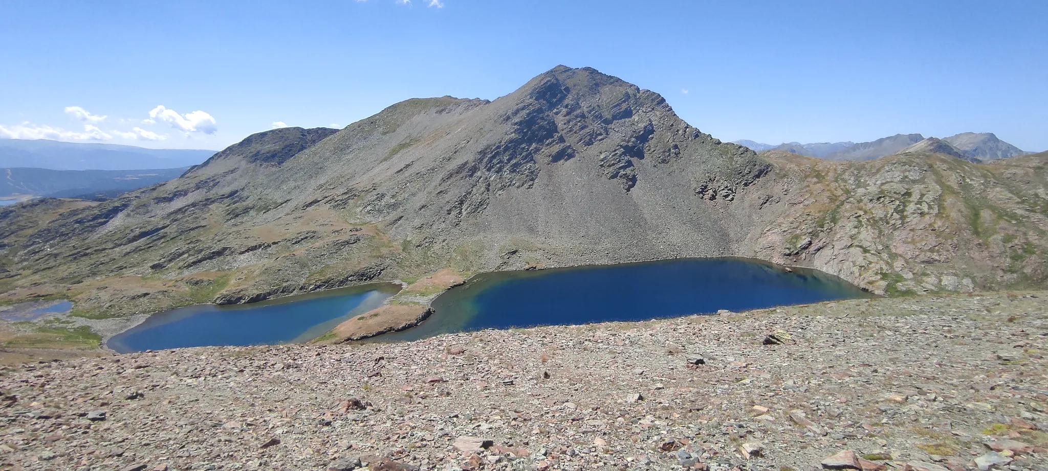
Loop of the Carlit – Tour of the massif along the lakes
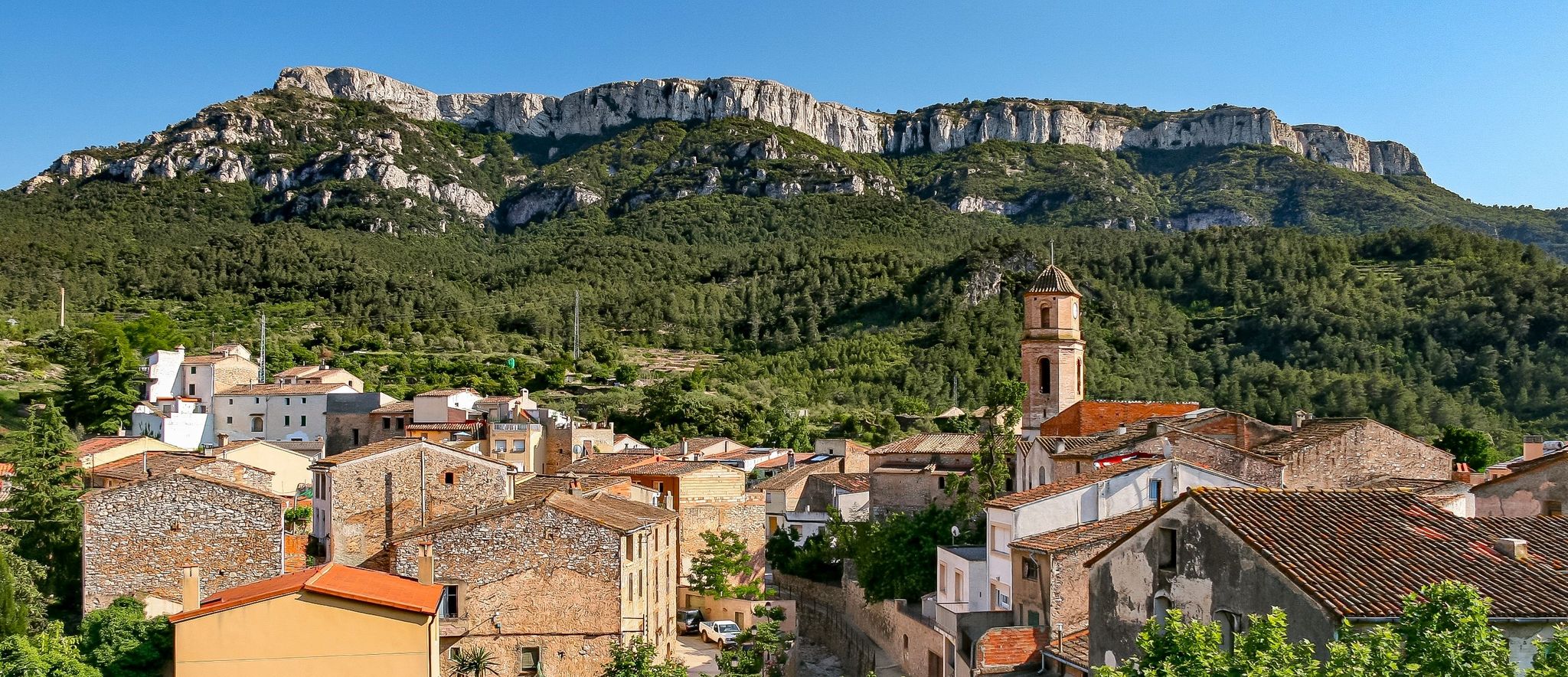
A land of contrasts – Tarragona to the Pyrenees on the GR 7
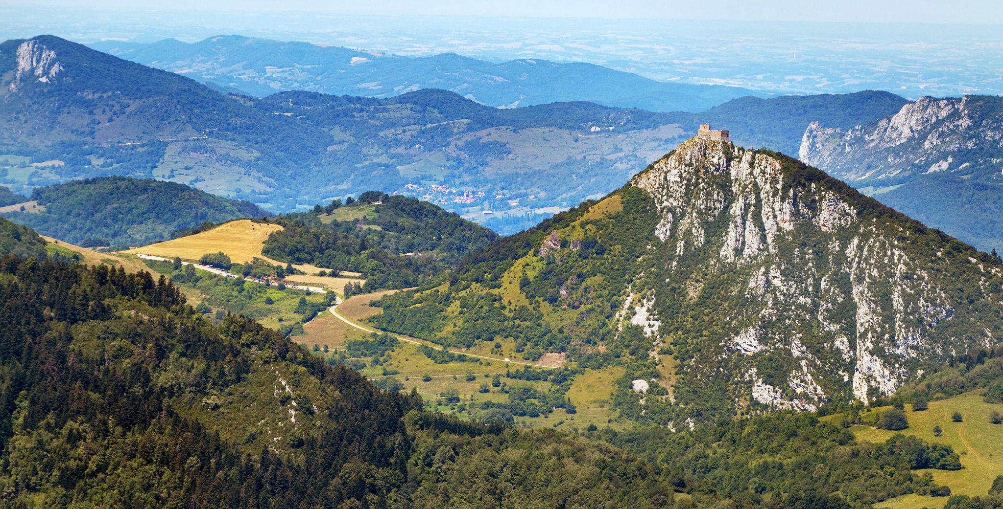
Cathar Route from Catalonia to France – Bons Homes Path (GR 107)
From the Mediterranean to the Pre-Pyrenees – Historical Path in Catalonia (GR 1)
The chemin des Bonshommes — a journey between France and Spain
Other adventures around the Segre


Tips from the Community

The view from Carrer de Jaume II towards the Seu Vella and the Segre River in Lleida is truly spectacular and very representative of the city. The majestic Seu Vella, perched atop the hill, dominates the cityscape with its bell tower and imposing Gothic architecture. The Segre River, adding a touch of freshness and contrast, with its bridges and riverside promenades, creates a very photogenic scene. The urban dynamism: Carrer de Jaume II is a major thoroughfare, where modern life blends seamlessly with the city's historical backdrop.
2
0

A jewel of Catalan Romanesque architecture and one of the most impressive in the Pyrenees. Its austere façade, stone cloister and the silence of the interior convey history and serenity in equal parts. Located in the heart of La Seu, surrounded by lively streets, terraces and shops. By mountain bike, it is a perfect cultural stop before or after a route through the Cadí or Segre: there are bike parking spaces nearby and fountains to fill your tank. Tip: avoid peak hours and get there early or at dusk, when the light caresses the stone and the atmosphere is pure charm.
0
0

We went on a Sunday, and there weren't many people. It's recommended to pack flip-flops in your backpack to wear in the water, as there are a lot of rocks. The water is warm, very pleasant for a swim. You can leave your car in the village and start the route from there.
1
0

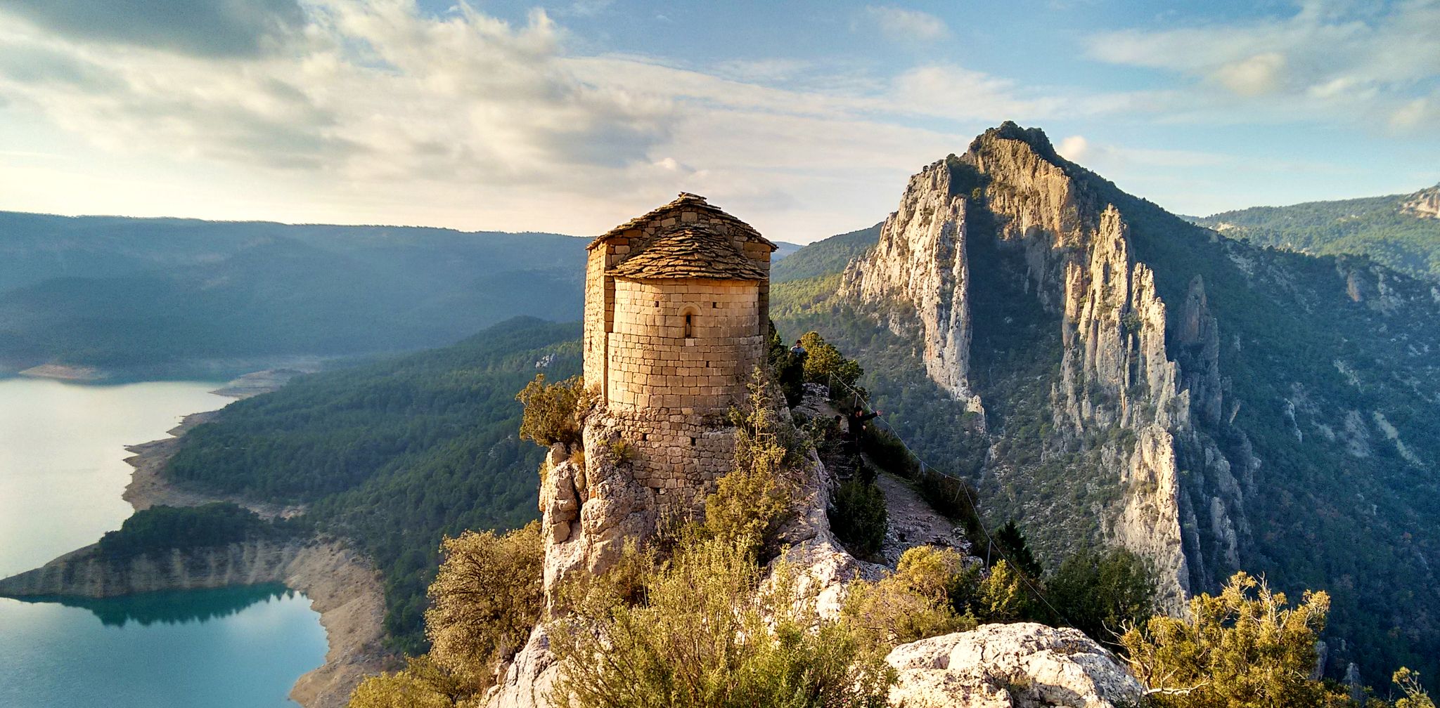
Although the climb to this small chapel is short but challenging, it's worth reaching the top. It's a charming place with spectacular views.
0
0

Wooden walkway over the Segre River that connects the Copa d'Or and Rufea games
0
0

The Cathedral of La Seu d'Urgell is a large Romanesque church from the 12th century and is unique in this style in all of Catalonia.
0
0

My recommendation for Visit the Cova de Anes. The most important thing is to know that the entire journey until reaching the Cova is very exposed, this means that avoiding very hot days 🥵 bring enough water for the journey,.... And of course... Flashlight 🔦 to visit inside, take extreme precautions
0
1
The Tòfol Footbridge is a favorite place for hiking in El Segrià. This wooden bridge crosses the Segre River, linking natural paths. Although it is close to the city, it makes you feel like you are far away, surrounded by nature. An excellent option to explore!
7
0
Frequently Asked Questions
How many hiking trails are available in the Segre region?
The Segre region offers a wide variety of hiking experiences, with over 400 routes recorded on komoot. These trails cater to all levels, including 145 easy, 227 moderate, and 36 difficult options, ensuring there's a suitable path for every hiker.
Are there easy or family-friendly hiking options in Segre?
Yes, the Segre region has numerous easy and family-friendly trails. For instance, the Organyà to Fontanet Ponds Trail is an easy 3.3-mile route through varied natural landscapes. The Tòfol Footbridge in El Segrià also links natural paths, offering an accessible option close to urban areas.
Can I find circular hiking routes in the Segre region?
Absolutely. Many trails in Segre are designed as loops, allowing you to start and end at the same point. A popular example is the Passet and Font-Vives Lakes Loop, a moderate 5.9-mile route exploring natural lakes. Another is the Pala Alta and Montalegre Hermitage Loop, which offers expansive views and leads to historical sites.
What kind of terrain can I expect on hikes in Segre?
The Segre region boasts diverse terrain, ranging from impressive mountain ranges like the Parc Natural del Cadí-Moixeró, with peaks exceeding 2,500 meters, to lush valleys and serene riverside paths along the Segre River. You'll encounter significant elevation changes in mountainous areas and gentler gradients in the valleys and around reservoirs like Utxesa.
Are there any notable landmarks or attractions to see along the hiking trails?
Yes, the Segre region is rich in landmarks. You can explore historical sites like the La Seu Vella de Lleida or the Cathedral of Saint Mary of La Seu d'Urgell. For natural wonders, consider visiting the Cova del Tabac. Many trails also pass by castles such as the Suda Castle of Lleida or Ciutadella de Castellciutat.
What do other hikers enjoy most about hiking in Segre?
The komoot community highly rates hiking in Segre, with an average score of 4.6 stars from over 800 reviews. Hikers often praise the majestic mountain ranges, the serene river environments, and the well-developed network of trails that cater to various difficulty levels. The diversity of landscapes, from natural parks to riverside walks, is frequently highlighted.
Are there specific trails that follow the Segre River?
Yes, the Segre River is a central feature of the region, and several trails follow its course. The Segre River Nature Trail is a moderate 7.9-mile route that offers a direct experience of the river environment. The river also creates areas suitable for riverside walks and connects to other natural paths.
What is the best time of year to go hiking in Segre?
The Segre region offers hiking opportunities throughout much of the year. Spring and autumn are generally ideal, with pleasant temperatures and vibrant natural colors. Summer can be warm, especially in lower elevations, but mountain trails offer cooler conditions. Winter hiking is possible, particularly in lower areas, but higher mountain routes may require specific gear due to snow.
Are there any trails that offer views of reservoirs or lakes?
Yes, the region features beautiful water bodies. The Passet and Font-Vives Lakes Loop is an excellent choice for exploring natural lakes. Additionally, the Utxesa Reservoir near Torres de Segre is surrounded by wetlands and offers pleasant walking tours, with routes like Views of the Reservoir from Montnegre providing scenic vistas.
Can I reach hiking trailheads using public transport in Segre?
While many trailheads are accessible by car, some areas in the Segre region, particularly larger towns like La Seu d'Urgell, have public transport connections. For example, the Segre Olympic Park in La Seu d'Urgell, a base for exploring the Pyrenean valleys, is generally well-connected. It's advisable to check local bus schedules for specific trail access points, especially for routes within natural parks.
Are there any trails that lead to historical or cultural sites?
Yes, the Segre region has a rich history reflected in its trails. The Pala Alta and Montalegre Hermitage Loop leads to historical sites and offers expansive views. Parts of the 'Ignatius Way' pilgrimage route also pass through the region, blending hiking with historical exploration. You can also find trails near castles like Castle Path.
Most popular routes around the Segre
Most popular attractions around the Segre

Get inspired with the komoot mobile app


Explore more
Browse the best Hikes in other regions.
