The best mountain hikes around the Segre
4.9
(8)
51
hikers
10
hikes
Mountaineering routes Segre traverse a rugged landscape characterized by high mountain passes, alpine lakes, and prominent peaks within the Pyrenees. The region offers challenging ascents and descents, often leading through rocky terrain and open mountain environments. These routes provide extensive views of the surrounding valleys and distant summits. The Segre area is known for its diverse elevation changes, making it a destination for experienced mountaineers.
Best mountaineering routes around the Segre
- The most popular mountaineering route is Hospitalet near Andorra…
Last updated: July 4, 2026
5.0
(1)
9
hikers
16.9km
07:36
1,040m
1,040m
Hard mountaineering route. Very good fitness required. Sure-footedness, sturdy shoes and alpine experience required.
7
hikers
17.1km
07:38
1,190m
1,190m
Hard mountaineering route. Very good fitness required. Sure-footedness, sturdy shoes and alpine experience required.

Sign up for free
7
hikers
17.4km
07:10
1,130m
1,130m
Hard mountaineering route. Very good fitness required. Mostly accessible paths. Sure-footedness required.
4
hikers
10.6km
04:48
710m
710m
Moderate mountaineering route. Good fitness required. Mostly accessible paths. Sure-footedness required.
3
hikers
15.4km
05:16
650m
650m
Hard mountaineering route. Very good fitness required. Mostly accessible paths. Sure-footedness required.
4.5
(2)
2
hikers
4.95km
01:45
200m
200m
Moderate mountaineering route. Great for any fitness level. Mostly accessible paths. Sure-footedness required.
Get access to more routes and recommendations from other explorers.
Sign up for free
Already have an account?
Our route recommendations are based on thousands of hikes, rides, and runs completed by other people on komoot.
Start today with a free account
Your next adventure awaits.
Login or Signup
Popular around Segre
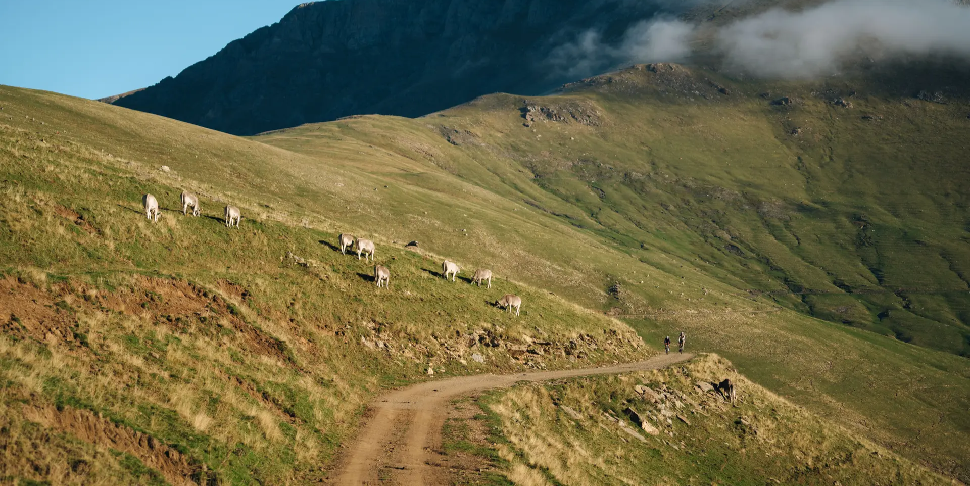
Grand Tour of Catalonia Gravel – your bikepacking adventure
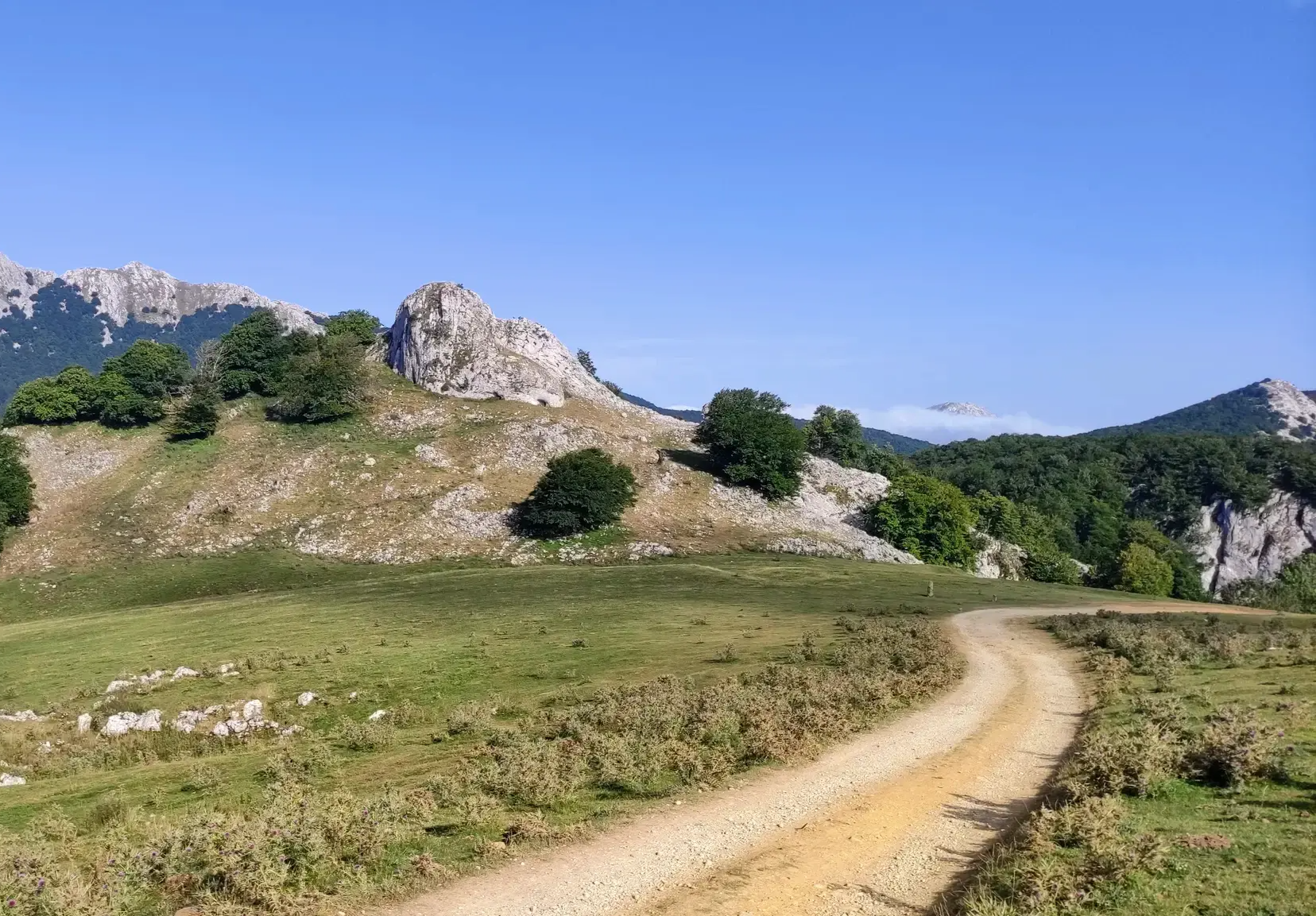
The Ignatian Way - In the footsteps of Ignatius of Loyola
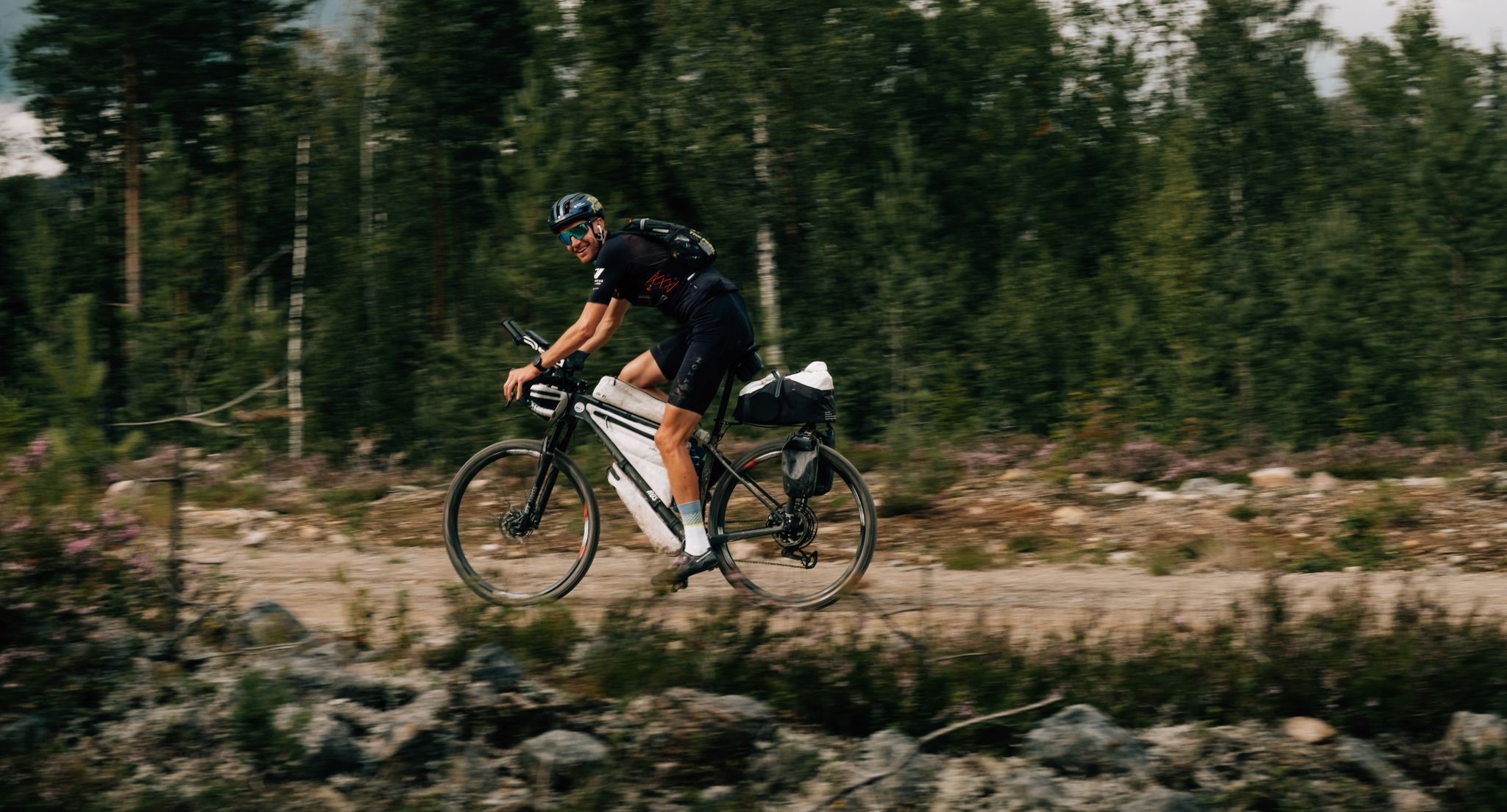
European D̶I̶V̶I̶D̶E̶ Connect Trail Project – a journey across Europe
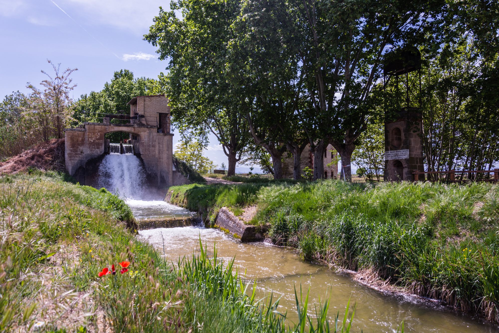
Follow the water in Spain – Pedals del Canal d'Urgell
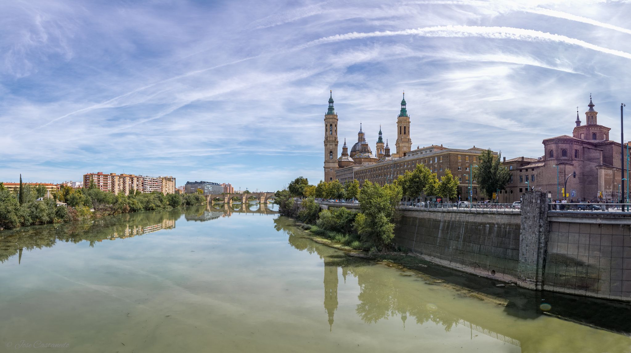
A river getaway – Ebro Natural Trail (GR 99)
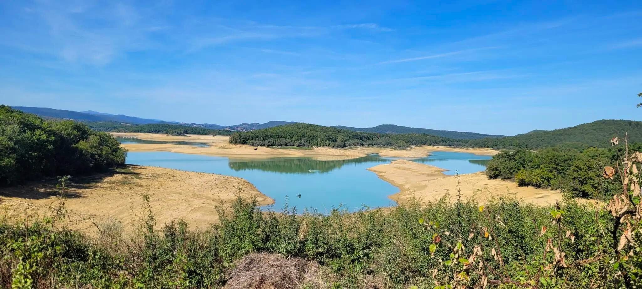
Plains, hills and mountains – GR 7 in the heart of France’s Occitania
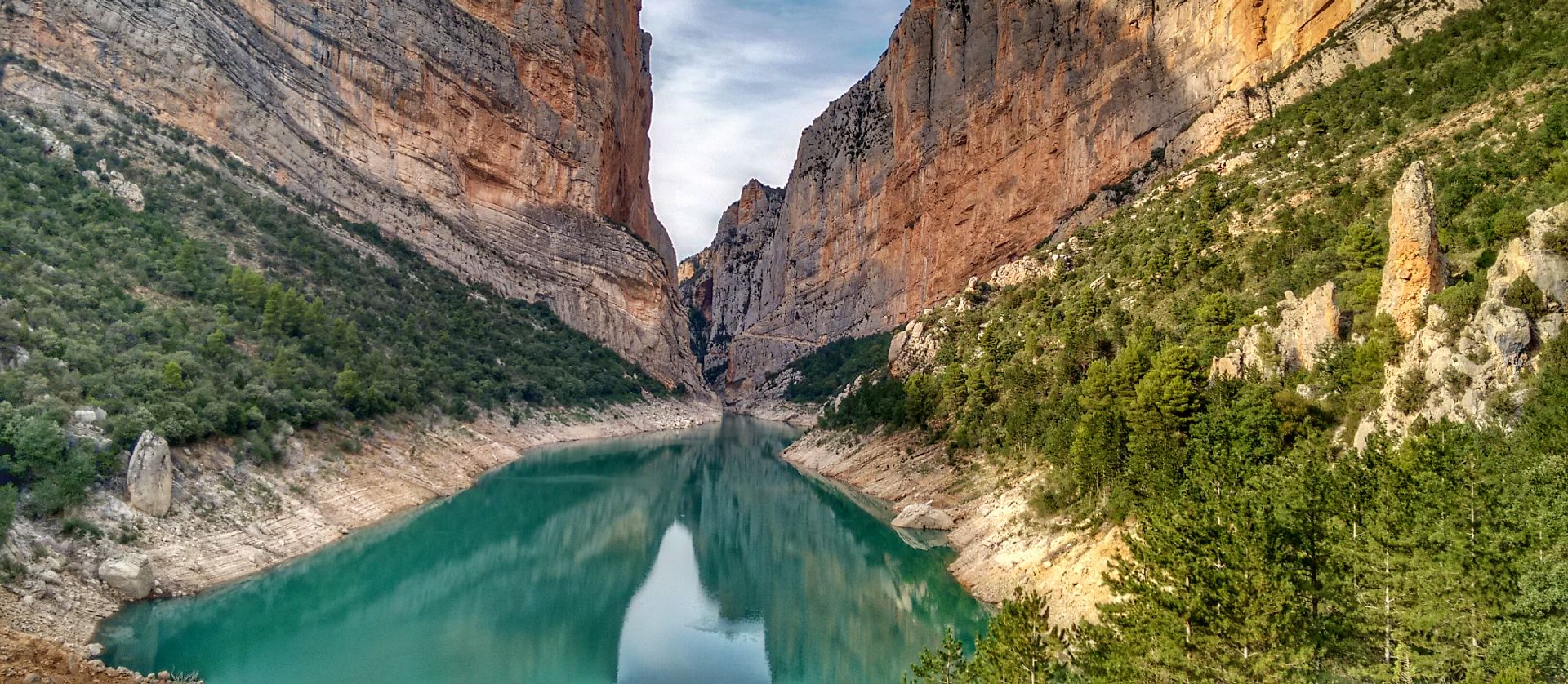
Lleida to El Pont d'Orrit – Sendero Central de Cataluña (GR3)
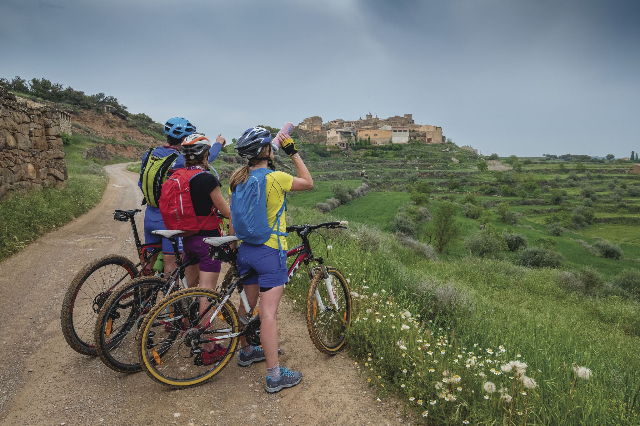
Bikepacking in Catalonia
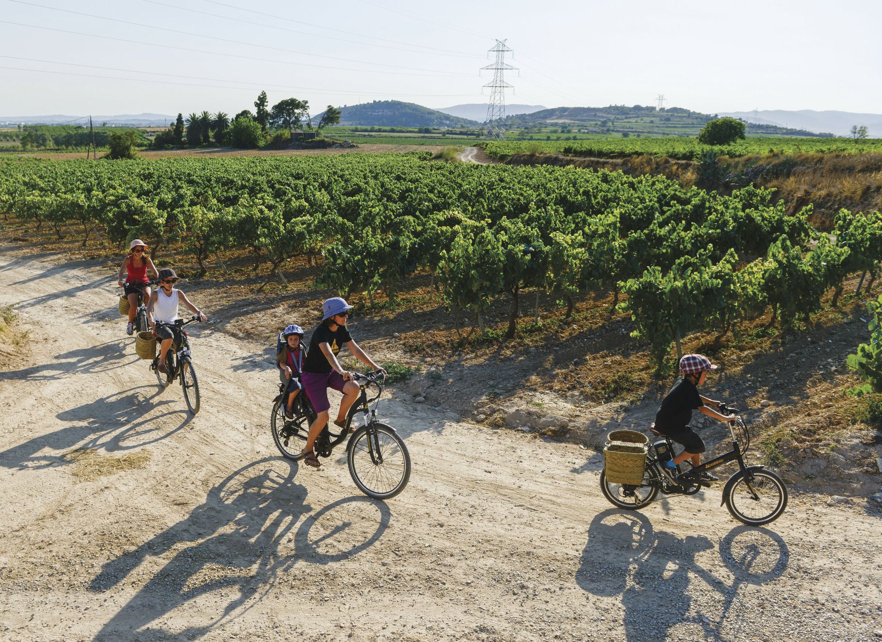
Cycling through Catalonia with your family
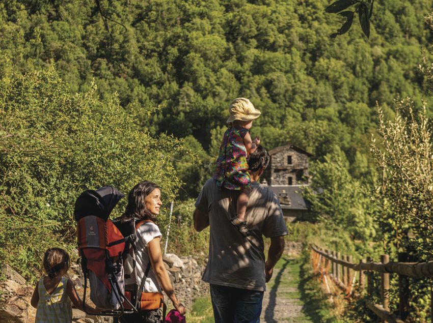
Hike with your family in Catalonia
Other adventures around the Segre


Tips from the Community

A free mountain refuge nestled among black pine forests and high meadows, with sweeping views of the Segre Valley. It's a peaceful spot, ideal for sheltering from the wind or taking a break on routes that connect to Cap del Rec or Tossa Plana. The surroundings retain the pure silence of the upper Cerdanya region. By mountain bike, the final approach is via a stony track with a slight incline; it's advisable to lower the saddle and maintain control on the subsequent descent, as ruts and loose stones can be treacherous if you're riding too fast.
0
0
Located at an altitude of 1,960 meters, this refuge is a key point for cyclists and hikers heading towards the Tossa Plana de Lles or the Nordic ski slopes. The refuge combines a mountain atmosphere with comfortable amenities: a bar, a dining room, and a terrace with open views of the Cadí mountain range. It's a good place to stop, have a hot meal, or adjust your bike before continuing the climb. For mountain biking, the track from Lles has an uneven surface and rocky sections; tires with good grip are recommended, as is maintaining a constant cadence, especially on the final bends where the gradient is noticeable.
0
0

The only positive thing about this pass is its relatively moderate gradient. The traffic (until the road to Andorra turns off) is horrific. Hordes of motorcyclists, trucks, cars... If you can, you should avoid this pass.
1
0

Although limited to 70 km/h, the tunnel is not passable by bicycle. There's even an electronic toll system.
1
0

Small town, important railway station
0
0


Continuously flowing, drinkable water fountain
2
0
Frequently Asked Questions
What kind of terrain can I expect on mountaineering routes in the Segre region?
Mountaineering routes in the Segre region traverse a rugged landscape characterized by high mountain passes, alpine lakes, and prominent peaks within the Pyrenees. You will encounter challenging ascents and descents, often leading through rocky terrain and open mountain environments. The area is also known for its impressive limestone cliffs and Mediterranean forests of oak and pine.
Are there any family-friendly mountaineering options in Segre?
While many routes in Segre are challenging, there are moderate options available. For a shorter, less strenuous experience that still offers beautiful scenery, consider the Rec de Lanos Waterfalls – Font Vive Lake loop from Lac du Passet. This route is 4.9 km long and takes about 1 hour 45 minutes, featuring waterfalls and a lake.
What are some notable natural features or landmarks to look out for along the routes?
The Segre region is rich in natural beauty. You can find impressive limestone cliffs, river confluences, and several reservoirs like Camarasa and Sant Llorenç de Montgai. Highlights include the Parc de la Mitjana, the Rufea Wetlands Observation Tower, and the San Lorenzo de Montgai Dam. The region also features the Cova del Tabac, a notable cave.
What is the best time of year for mountaineering in the Segre region?
The Segre region, being part of the Pyrenees, experiences varied seasonal weather. While specific recommendations depend on the route's elevation and difficulty, generally, late spring to early autumn (June to September) offers the most favorable conditions for mountaineering, with less snow and more stable weather. Always check local weather forecasts before heading out.
Are there any circular mountaineering routes in Segre?
Yes, many of the mountaineering routes in Segre are designed as loops. For example, the challenging Peak Carlit loop from Barrage de Passet offers panoramic vistas of alpine lakes and surrounding peaks. Another option is the COMABONA loop from Refugi Prat d'Aguiló, which is a moderate route.
How many mountaineering routes are available in the Segre region?
There are over 10 mountaineering routes available in the Segre region, catering to both moderate and difficult ability levels. The komoot community has rated these routes highly, with an average score of 4.9 stars.
What do other mountaineers enjoy most about the Segre region?
The Segre region is highly rated by the komoot community, with an average score of 4.9 stars. Mountaineers often praise the challenging ascents, the extensive views of surrounding valleys and distant summits, and the dramatic mountain landscapes that define the area.
Are there any routes that feature waterfalls?
Yes, the Rec de Lanos Waterfalls – Font Vive Lake loop from Lac du Passet is a moderate mountaineering route that specifically highlights waterfalls, making it a scenic choice for those looking for this feature.
What are some options for more advanced mountaineers in Segre?
For experienced mountaineers seeking a challenge, the Segre region offers several difficult routes. The Puymorens Pass – Coma d'Or peak loop from Col de Puymorens is a demanding option, covering over 15 km with significant elevation gain.
Are there any specific considerations for winter mountaineering in the Segre region?
Winter mountaineering in the Segre region, particularly in the Pyrenees, can be challenging and requires specialized equipment and skills due to snow, ice, and potentially glaciers. Conditions can change rapidly, so it's crucial to have appropriate gear, experience, and to check avalanche warnings and weather forecasts before attempting any winter routes.
What kind of elevation changes can I expect on Segre mountaineering routes?
The Segre area is known for its diverse elevation changes, making it a destination for experienced mountaineers. Routes often feature significant ascents and descents, with some difficult trails involving over 1000 meters of elevation gain, such as the Tossa Plana de Lles – Tosseta de Vallcivera loop from Refugi del Cap del Rec.
Most popular routes around the Segre
Most popular attractions around the Segre

Get inspired with the komoot mobile app


