The best cycling routes around Marliana
4.5
(487)
7,748
riders
355
rides
Touring cycling around Marliana offers varied terrain where the Valdinievole meets the Pistoia Mountains and extends towards the Tuscan-Emilian Apennines. The region is characterized by rolling hills, river valleys, and mountain foothills, providing diverse elevation changes for cyclists. Dense chestnut forests, vineyards, and olive groves adorn the gentle slopes, creating a scenic backdrop for rides. This geographical positioning allows for exploration of different microclimates and landscapes.
Best touring cycling routes around Marliana
- The most popular touring cycling route is Giuseppe…
Last updated: July 1, 2026
4.1
(9)
105
riders
Hard bike ride. Very good fitness required. Mostly paved surfaces. Suitable for all skill levels.
53
riders
97.2km
06:54
1,940m
1,930m
Hard bike ride. Very good fitness required. Mostly paved surfaces. Suitable for all skill levels.

Sign up for free
52
riders
99.7km
07:10
2,030m
2,020m
Hard bike ride. Very good fitness required. Mostly paved surfaces. Suitable for all skill levels.
4.3
(8)
38
riders
Moderate bike ride. Good fitness required. Mostly paved surfaces. Suitable for all skill levels.
4.3
(4)
46
riders
34.5km
02:43
810m
810m
Hard bike ride. Very good fitness required. Mostly paved surfaces. Suitable for all skill levels.
Get access to more routes and recommendations from other explorers.
Sign up for free
Already have an account?
Our route recommendations are based on thousands of hikes, rides, and runs completed by other people on komoot.
Start today with a free account
Your next adventure awaits.
Login or Signup

Tips from the Community

The Cerbaie Natural Reserve is a beautiful set of green and wild hills located near the Lucca plain. It is covered by a dense forest full of trails and, thanks to its cool and humid climate, hosts very rare plants that date back to the glacial period.
0
0

Prunetta is a characteristic mountain hamlet located at almost 1,000 meters above sea level in the municipality of San Marcello Piteglio, within the evocative Montagna Pistoiese in Tuscany. The village has about 300 inhabitants and is a place known for summer tourism, trekking, and its particular geographical position.
0
0

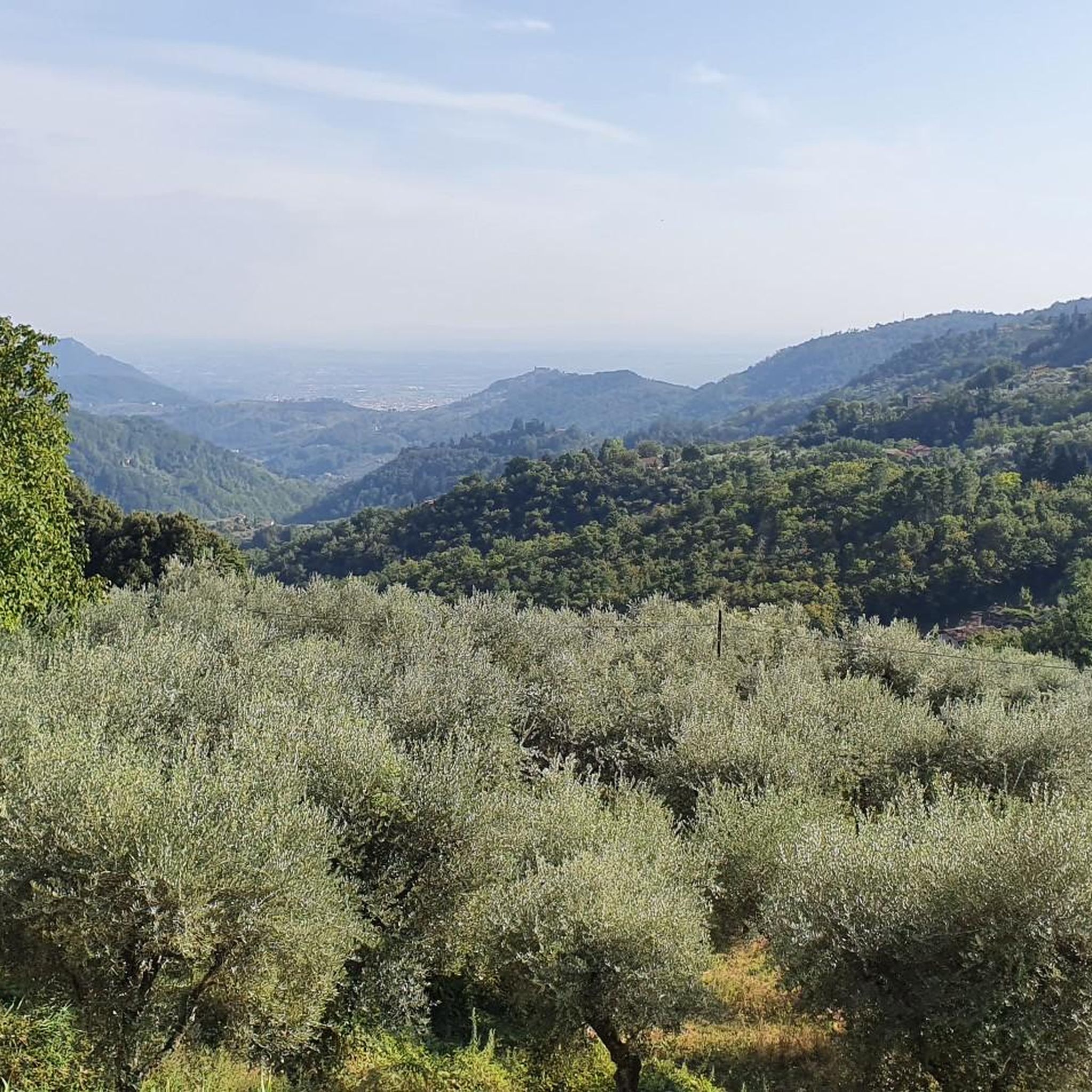
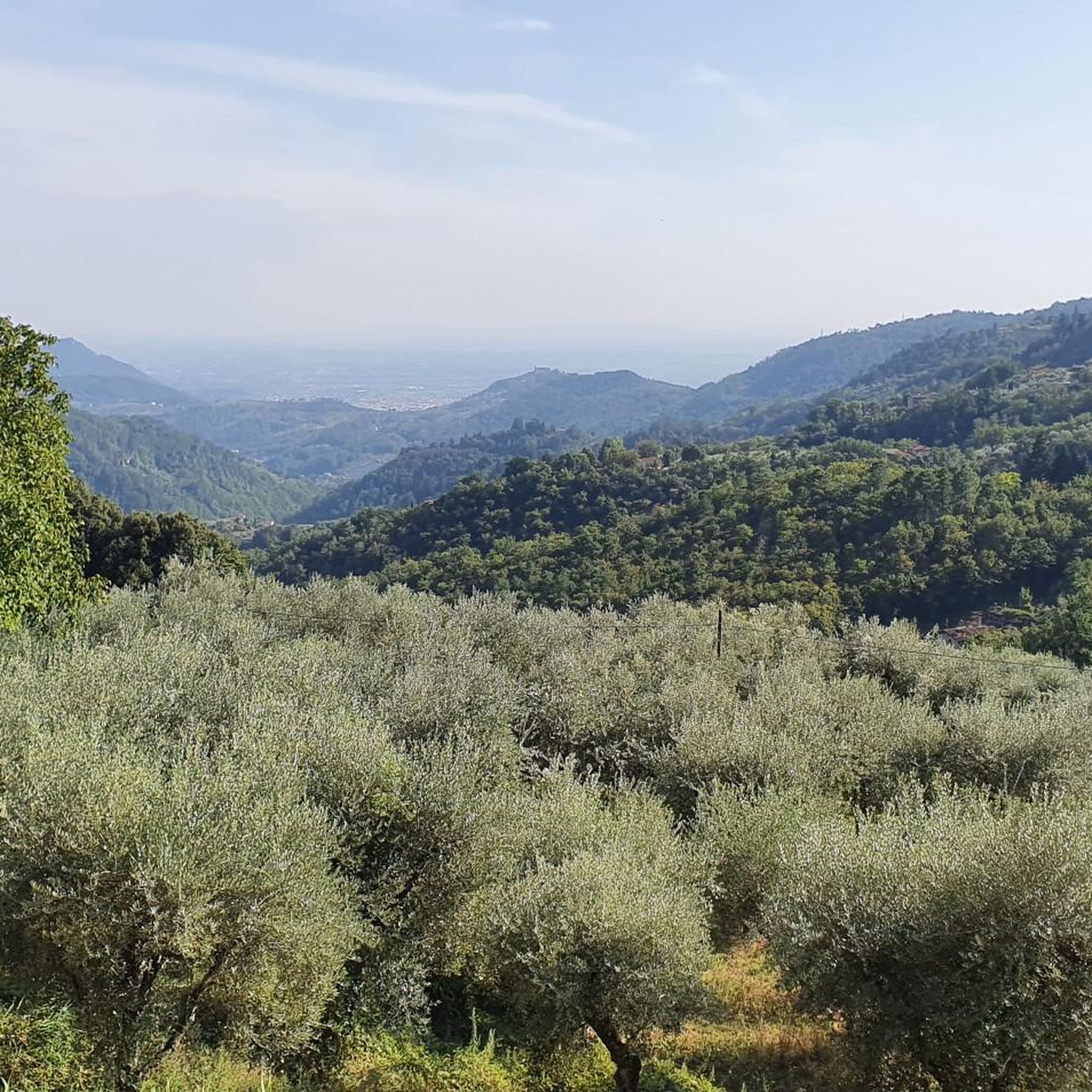
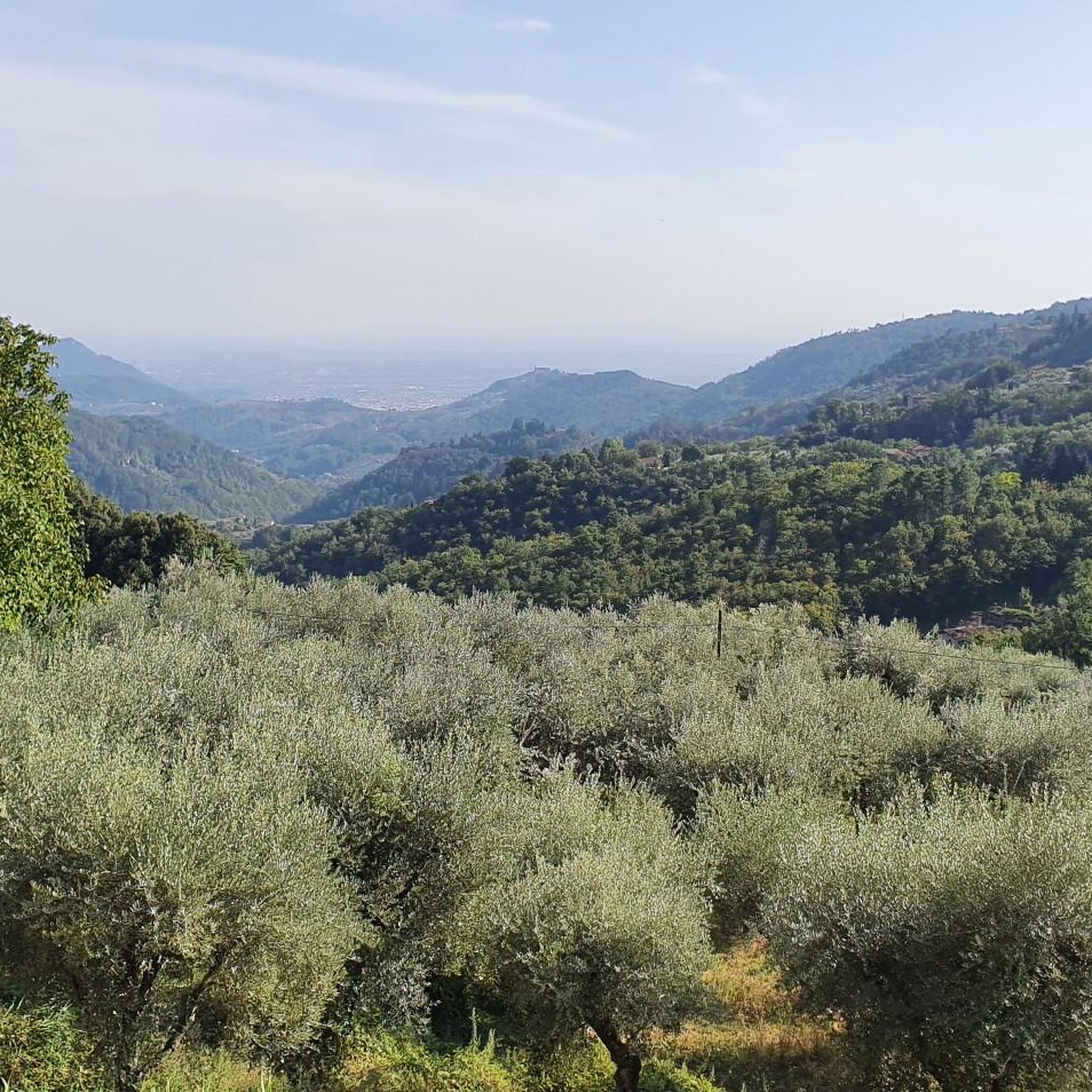
Wonderful view of the plain
1
0

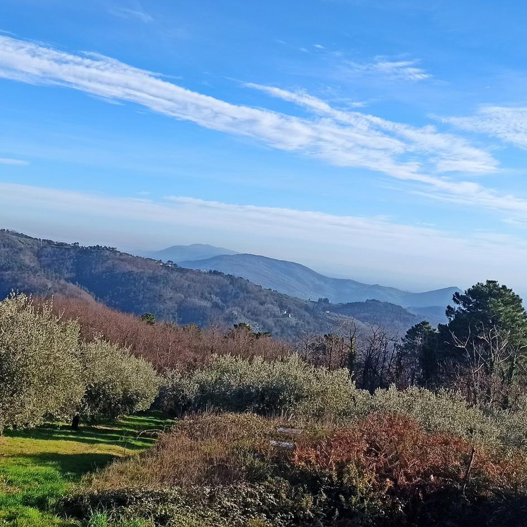
A nice stopping point
0
0

The square dedicated to Giuseppe Giusti It is located in the central part of town, where the valley begins between two small hills: the Rocca di Castel Vecchio (with the Church of San Pietro Apostolo) and the opposing Rocca di Castel Nuovo (with the Church of the Carmine and the Clock Tower). The square, a very evocative spot, is home to the War Memorial at its highest point. Considered the town's meeting place due to its location, it is characterized by the presence of numerous businesses, such as traditional bars and restaurants, gift shops and other shops, a hotel, and other nearby bed and breakfasts.
0
0

Church dedicated to St. John the Evangelist
1
0

Indeed, take care. Going uphill next to the cars on this busy road is not so much fun. Some segments are steep, but doable.
0
0
The road is narrow. Be very careful on the curves.
0
1
Frequently Asked Questions
How many touring cycling routes are available around Marliana?
Marliana offers a substantial network of over 360 touring cycling routes. These routes vary significantly in length and elevation gain, catering to different skill levels from moderate to difficult.
What kind of terrain can I expect on touring cycling routes in Marliana?
The terrain around Marliana is diverse, characterized by rolling hills, dense chestnut forests, vineyards, and olive groves. You'll encounter varied elevation changes, from gentle slopes to challenging climbs and rewarding descents, as the area spans river valleys and the foothills of the Tuscan-Emilian Apennines.
Are there challenging touring cycling routes in Marliana for experienced riders?
Yes, Marliana is well-suited for experienced touring cyclists, with over 220 routes rated as difficult. For example, the Giuseppe Giusti Square – View of Marliana from Vico loop from Montecatini Alto is a challenging 51.1 km path offering panoramic views and significant climbs. Another demanding option is the View of Lake Suviana – Camping Belsito loop from Montecatini Alto, which covers nearly 100 km with over 2,000 meters of elevation gain.
What are some scenic viewpoints or natural features to look out for on touring cycling routes?
Marliana's routes offer numerous scenic vistas. You can enjoy views overlooking Pistoia and the Apennine mountains, especially from higher elevations. The landscape is rich with chestnut groves, olive groves, and vineyards. For specific natural attractions, consider visiting The Cocciglia Gorges or the Natural Pool at Ponte di Castelvecchio.
Are there any historical sights or charming villages I can visit along the cycling routes?
Absolutely. The region is dotted with charming villages and historical sites. You can cycle through the main town of Marliana, or visit nearby hamlets like Goraiolo, Panicagliora, and Serra Pistoiese. The ancient fortified town of Casore del Monte offers panoramic views. You might also encounter historical structures like the Cozzile Castle and the Clock Tower or the Ferriere Suspension Bridge.
What do other touring cyclists enjoy most about cycling in Marliana?
The touring cycling routes around Marliana are highly rated by the komoot community, with an average score of 4.4 stars from over 470 reviews. Cyclists often praise the varied terrain, the stunning Tuscan landscape with its rolling hills and dense forests, and the opportunity to explore charming historical villages. The mix of physical challenge and scenic beauty is a common highlight.
Are there any circular touring cycling routes around Marliana?
Yes, many touring cycling routes in Marliana are designed as loops, allowing you to start and end in the same location. An example is the Giuseppe Giusti Square – Romea Strata Riverside Path loop from Montecatini Alto, a 35.9 km route featuring a riverside path and varied terrain.
What is the best time of year for touring cycling in Marliana?
The best time for touring cycling in Marliana is generally during the spring (April to June) and autumn (September to October). During these seasons, the weather is typically mild and pleasant, and the natural landscape is particularly vibrant with blooming flowers or rich autumn colors. Summers can be hot, while winters may bring colder temperatures and occasional rain.
Are there any family-friendly touring cycling routes in Marliana?
While many routes in Marliana feature significant elevation changes, there are options suitable for families looking for less strenuous rides. Look for routes categorized as 'moderate' or 'easy' on komoot. These often follow gentler slopes through olive groves or along river valleys, providing a pleasant experience for all ages.
Where can I find parking for cyclists near the touring routes in Marliana?
Parking availability varies depending on your starting point. Many villages and towns in the Marliana area, including Marliana itself and nearby Montecatini Alto, offer public parking facilities. It's advisable to check specific parking options for your chosen route's trailhead in advance.
Are there options for public transport to access cycling routes in Marliana?
Public transport options to Marliana are available, primarily via bus services connecting to larger towns like Pistoia or Montecatini Terme. However, policies regarding bicycles on public transport can vary. It's recommended to check with local bus operators, such as Autolinee Toscane, for their current bicycle carriage policies before planning your journey.
Can I find cafes, pubs, or restaurants near the cycling trails in Marliana?
Yes, the charming villages throughout the Marliana region, such as Goraiolo, Panicagliora, and Serra Pistoiese, often have local cafes, trattorias, and restaurants where you can refuel. The area is known for its local gastronomy, offering authentic Tuscan flavors derived from chestnuts, mushrooms, olives, and grapes.
Are there any easier touring cycling routes for beginners in Marliana?
Yes, among the 360+ routes, there are around 30 routes classified as 'easy' and 111 as 'moderate', which are more suitable for beginners or those seeking a less strenuous ride. These routes typically feature less elevation gain and cover shorter distances, allowing for a more relaxed exploration of the Tuscan landscape. An example of a moderate route is the Giuseppe Giusti Square – Fontanella di Marliana loop from Montecatini Alto, which is 18.2 km long.
Most popular attractions around Marliana

Get inspired with the komoot mobile app


Explore more
Browse the best Cycling routes in other regions.
