The best walks and hikes around Marliana
4.3
(761)
2,666
hikers
15
hikes
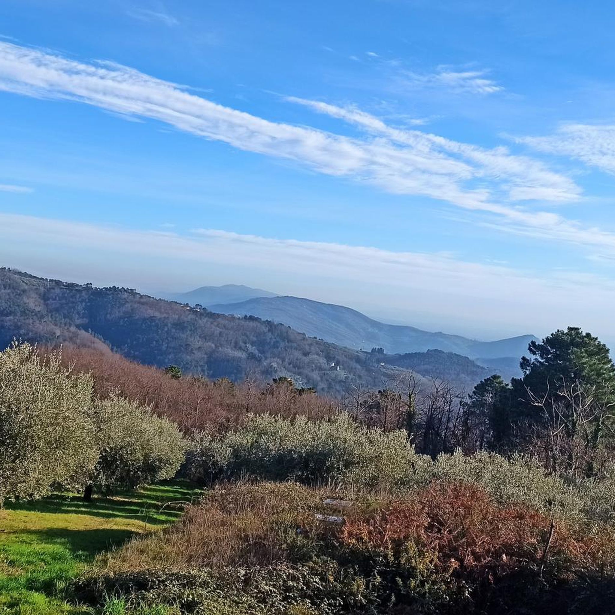
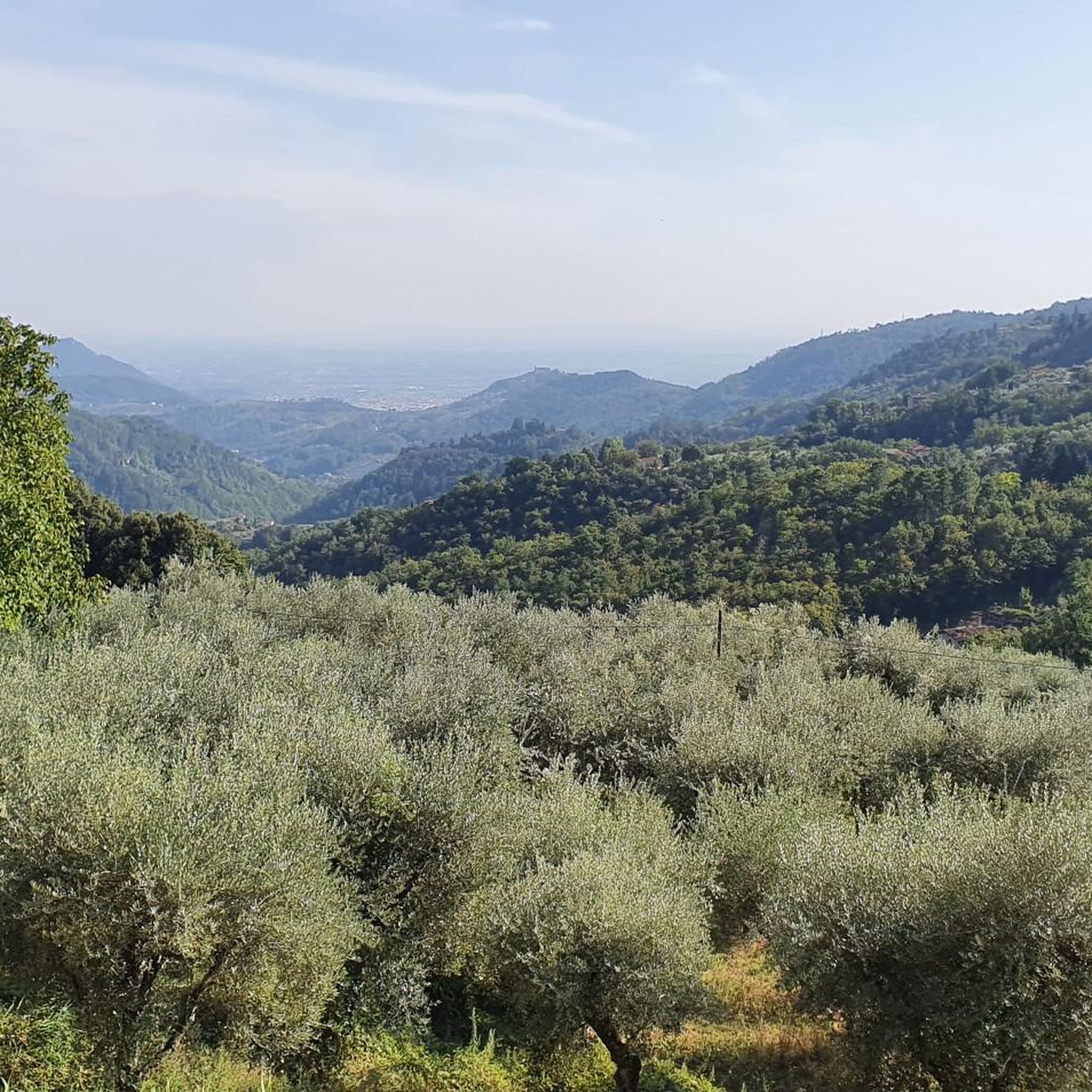
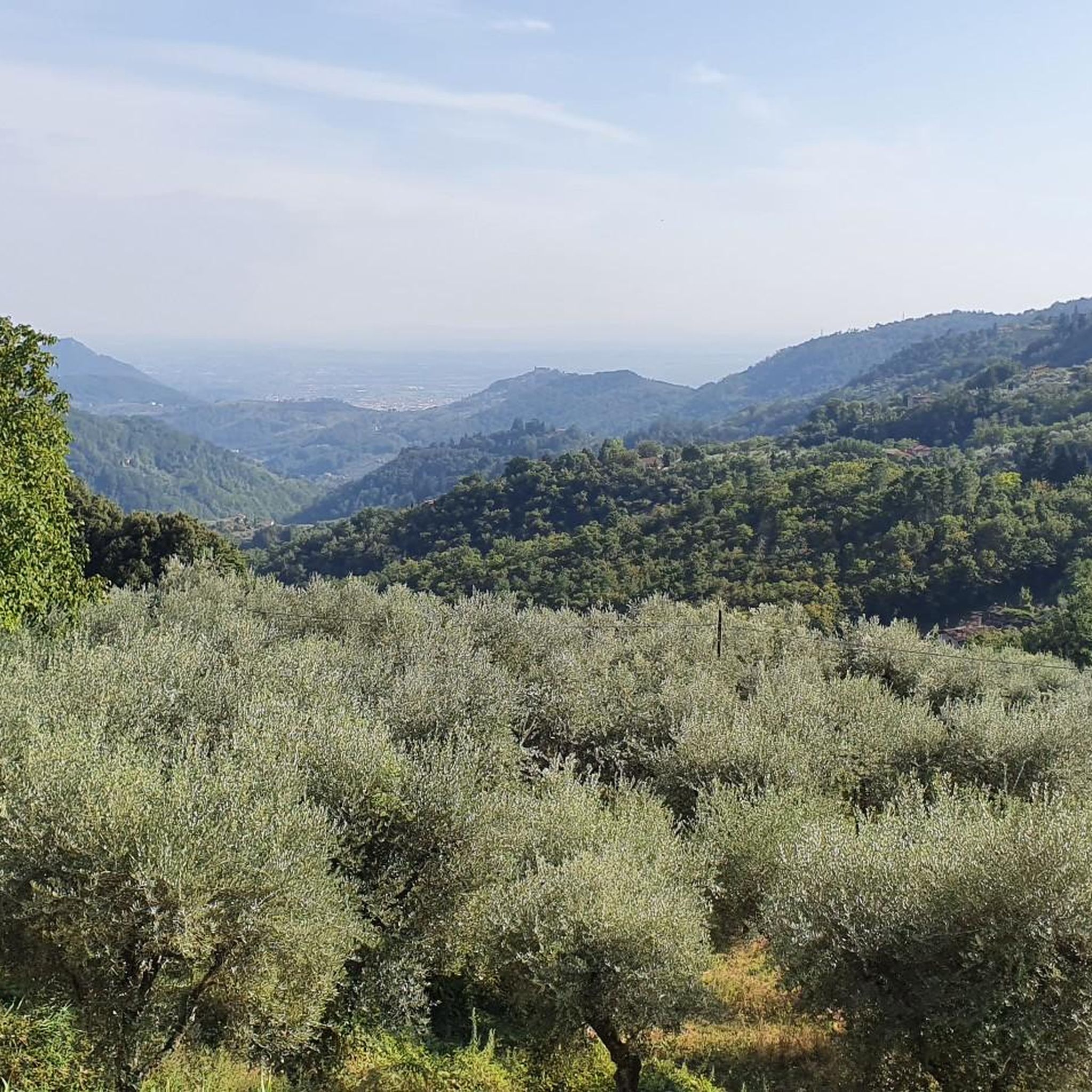
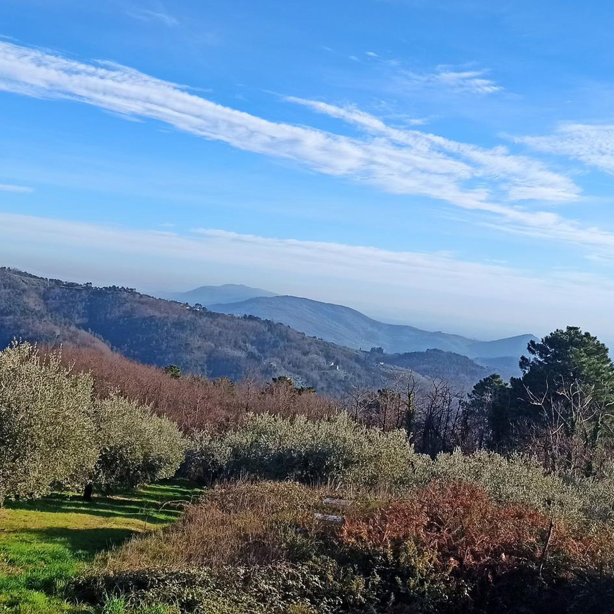
Hiking around Marliana offers diverse terrain where the Valdinievole meets the Pistoia Mountains in Tuscany, Italy. The landscape features gentle slopes with vineyards and olive trees, dense chestnut forests, and higher elevations leading towards the Apennine peaks. River valleys, including the Vincio and Nievole, also contribute to the varied natural environment. This region provides a range of trails suitable for different skill levels, from easy walks to more demanding treks.
Best hiking trails around Marliana
- The most popular hiking route is Church of Casore del Monte – Casore del Monte loop from Casore del Monte, a 6.5 miles (10.5 km) trail that takes 3 hours 19 minutes to complete, passing through the ancient fortified town of Casore del Monte.
- Another top favourite among local hikers is Passetta della Verginina – Monte Bersano loop from Margine di Momigno, a moderate 4.8 miles (7.7 km) path offering scenic views of the Pistoia Mountains.
- Local hikers also love the View of Marliana from Vico – Ponte di Barano loop from Marliana, a 5.7 miles (9.1 km) trail leading through varied Tuscan landscapes with views of the town, often completed in about 2 hours 45 minutes.
- Hiking around Marliana is defined by chestnut forests, vineyards, and olive groves, with trails ranging from gentle slopes to mountainous terrain. The network offers options for different ability levels, from easy walks to challenging ascents.
- The routes in Marliana are highly rated by the komoot community with an average score of 4.3 stars from over 650 reviews. More than 2400 hikers have used komoot to explore Marliana's varied terrain.
Last updated: October 16, 2026
4.4
(5)
21
hikers
10.4km
03:17
420m
410m
Moderate hike. Good fitness required. Easily-accessible paths. Suitable for all skill levels.
4.0
(6)
16
hikers
7.54km
02:19
290m
290m
Moderate hike. Good fitness required. Easily-accessible paths. Suitable for all skill levels.

4.2
(5)
17
hikers
6.67km
02:03
250m
260m
Moderate hike. Good fitness required. Easily-accessible paths. Suitable for all skill levels.
5.0
(1)
7
hikers
9.10km
02:45
300m
300m
Moderate hike. Good fitness required. Easily-accessible paths. Suitable for all skill levels.
5.0
(3)
13
hikers
5.31km
01:35
150m
150m
Easy hike. Great for any fitness level. Easily-accessible paths. Suitable for all skill levels.
Get access to more routes and recommendations from other explorers.
Already have an account?
Our route recommendations are based on thousands of hikes, rides, and runs completed by other people on komoot.
Start today with a free account
Your next adventure awaits.

Tips from the Community

Of Roman origin, the name of the village of Casore derives from the name of Casa. In the 12th century, during the disputes between Lucca and Pistoia, a fortress was built, besieged in 1177 and then destroyed by the Lucca troops. But the actual castle of Casore was built at the beginning of the 13th century. Of this, only the circular urban structure of the town remains visible, with the watchtower in the center (the current bell tower) enclosed by a stone wall. The church and bell tower are still located today in the highest part of the town, where the fortress stood, the last refuge in case of destruction of the city walls.
0
0

THE SANCTUARY OF CROCI IS LOCATED IN THE MUNICIPALITY OF MASSA E COZZILE, IN THE PROVINCE OF PISTOIA. FOUNDED IN THE 17TH CENTURY, IT IS A SIMPLE BUILDING WITH A BEAUTIFUL PORCH WITH THREE ARCHES SUPPORTED BY STONE COLUMNS. INSIDE THERE ARE PAINTINGS, FRESCOES AND STUCCOES BY LOCAL AUTHORS. IT IS LOCATED IN A PLEASANT PLACE AND INTERESTING PANORAMIC WALKS AND TREKKING ROUTES START FROM HERE
0
0

The long ascent is worthwhile and is rewarded with a spectacular view
1
0

Climb with asphalt in perfect condition with sections that go into double figures.
12
0

Votive shrine with image of the Madonna located at an important crossroads of the Pistoiese Mountains, where the roads coming from Valdinievole, Val di Forfora, Val di Lima and Pistoia meet
0
0

A tiny hamlet in the municipality of Marliana, in the province of Pistoia, Margine di Momigno has a small chapel in which to rest or find refuge in case of rain.
0
0

Ascent of about 5km regular with some sections at 10%, the last slightly downhill stretch that leads to the small village of Casore located at about 550slm (with fountain), from there you can descend to the plain of Nievole, or continue climbing towards the crossroads for Feminamorta. The main feature of this ascent is the almost totality of shade at any time of the day, immersed in a dense forest.
5
0
Historic and suggestive path, equipped with a recently restored CAI trail marker, which connects the Castello di Verruca to the lower end of the Campi di Borra, with the possibility of continuing on the CAI path up to the SP Mammianese just above Marliana, or along the gorge of the Borra stream with its "Campi" (once cultivated and now invaded by vegetation) up to the hairpin bend that bends the path towards Marliana, where it ends on the Mammianese in loc. the Alteto. The path is short, shaded and characterized by low altitude difference, excellent for hiking and summer walks. It has some rocky bumps that require caution from the hiker and in particular the biker, who requires a medium-high technical preparation to tackle the entire route in the saddle.
0
0
Frequently Asked Questions
How many hiking trails are available around Marliana?
Marliana offers a diverse network of over 15 hiking trails, catering to various skill levels. You'll find options ranging from easy walks to more challenging treks through the Pistoia Mountains and Valdinievole.
What is the best time of year to go hiking in Marliana?
The best time for hiking in Marliana is typically during spring (April-May) and autumn (September-October) when the weather is mild and the landscapes are particularly vibrant with blooming flowers or rich autumnal colors. Summer can be pleasant in the higher elevations, but lower areas might be warm. Winter hiking is possible, especially on lower-altitude trails, but higher mountain paths may require appropriate gear for colder conditions.
Are there any family-friendly hiking routes in Marliana?
Yes, Marliana offers several easy trails suitable for families. These often traverse gentle slopes through vineyards and olive groves, providing a pleasant experience for all ages. Look for routes with minimal elevation gain and shorter distances for a comfortable family outing.
Can I bring my dog on the hiking trails in Marliana?
Many trails in the Marliana area are dog-friendly, allowing you to enjoy the Tuscan landscape with your canine companion. However, it's always recommended to keep dogs on a leash, especially in areas with livestock or near villages, and to carry water for them. Always check local signage for any specific restrictions.
What kind of natural features and landscapes can I expect to see while hiking in Marliana?
Hiking in Marliana offers a rich variety of landscapes. You'll traverse extensive chestnut forests, gentle slopes adorned with vineyards and olive trees, and ascend towards the peaks of the Pistoia Mountains and the Apennine ridge. The area also encompasses the valleys of the Vincio and Nievole rivers, providing diverse flora and fauna. Expect scenic views of the surrounding Tuscan countryside.
Are there any circular hiking routes in Marliana?
Yes, Marliana features several excellent circular routes. For example, the View of Marliana from Vico – Ponte di Barano loop from Marliana offers varied Tuscan landscapes and views of the town. Another option is the Hiking loop from Panicagliora, which explores the charming village surroundings.
What are some interesting historical sites or attractions near the hiking trails?
The Marliana area is rich in history. You can explore the ancient fortified town of Casore del Monte, which is nestled in an 'Alpine countryside' setting. Other villages like Panicagliora and Serra Pistoiese offer additional exploration opportunities, often with views of castles. The ruins of the medieval Parish Church of Furfalo are also accessible with a brief detour. For natural attractions, consider visiting The Cocciglia Gorges or the Natural Pool at Ponte di Castelvecchio.
What do other hikers enjoy most about hiking in Marliana?
The hiking routes in Marliana are highly rated by the komoot community, with an average score of 4.3 stars from over 650 reviews. Hikers often praise the diverse terrain, from peaceful chestnut forests to scenic vineyards, and the opportunities to discover charming villages and historical sites along the way. The varied options for different fitness levels are also frequently highlighted.
Is parking available near the trailheads in Marliana?
Yes, parking is generally available near the starting points of many popular trails. For instance, you can find parking in villages like Casore del Monte for the Church of Casore del Monte – Casore del Monte loop, or in Margine di Momigno for the Passetta della Verginina – Monte Bersano loop. Marliana itself also offers parking for routes starting directly from the town.
Are there any permits required for hiking in the Marliana area?
No, generally, no specific permits are required for hiking on the public trails in the Marliana area. You are free to explore the beautiful landscapes at your leisure.
Are there any easy hiking routes for beginners in Marliana?
Yes, Marliana offers several easy routes perfect for beginners or those looking for a relaxed walk. These trails typically feature gentle slopes and shorter distances, often winding through the picturesque vineyards and olive groves at lower elevations. They are a great way to experience the region's natural beauty without significant physical exertion.
Where can I find food or drinks near the hiking trails?
Marliana and its surrounding villages, such as Casore del Monte, Momigno, and Panicagliora, offer local cafes, trattorias, and small shops where you can find refreshments or a meal. It's always a good idea to check opening hours, especially in smaller hamlets, and to carry some water and snacks with you on longer hikes.
Most popular attractions around Marliana

Get inspired with the komoot mobile app


Explore more
Browse the best Hikes in other regions.
