The best walks and hikes around Wertach
4.6
(17320)
69,531
hikers
162
hikes
Hiking around Wertach, Germany's highest market village at 915 meters above sea level, offers diverse terrain in the Bavarian Alps. The region is characterized by majestic mountains like the Reuterwanne (1542 m) and Wertacher Hörnle (1695 m), expansive green meadows, and dense forests. The Wertach River flows through the area, contributing to its natural features, and a significant portion of the walking areas are protected nature conservation zones.
Best hiking trails around Wertach
- The most popular hiking route is Unterjoch:…
Last updated: August 9, 2026
4.8
(393)
1,754
hikers
12.0km
04:31
580m
580m
Hard hike. Good fitness required. Sure-footedness, sturdy shoes and alpine experience required.
4.7
(1186)
4,917
hikers
10.4km
02:41
50m
50m
Moderate hike. Good fitness required. Easily-accessible paths. Suitable for all skill levels.

Sign up for free
4.8
(225)
895
hikers
Moderate hike. Good fitness required. Mostly accessible paths. Sure-footedness required.
4.7
(99)
498
hikers
Moderate hike. Good fitness required. Easily-accessible paths. Suitable for all skill levels.
4.6
(79)
413
hikers
10.4km
03:38
580m
580m
Moderate hike. Good fitness required. Easily-accessible paths. Suitable for all skill levels.
Get access to more routes and recommendations from other explorers.
Sign up for free
Already have an account?
Our route recommendations are based on thousands of hikes, rides, and runs completed by other people on komoot.
Start today with a free account
Your next adventure awaits.
Login or Signup
Popular around Wertach
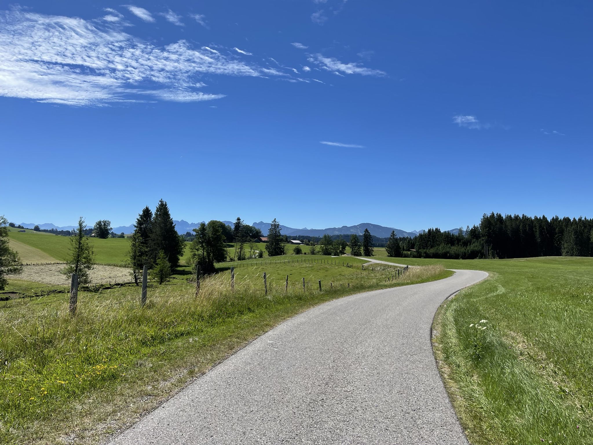
Hike from Augsburg to the Allgäu Alps

The Best of Allgäu – Tour around Oberallgäu
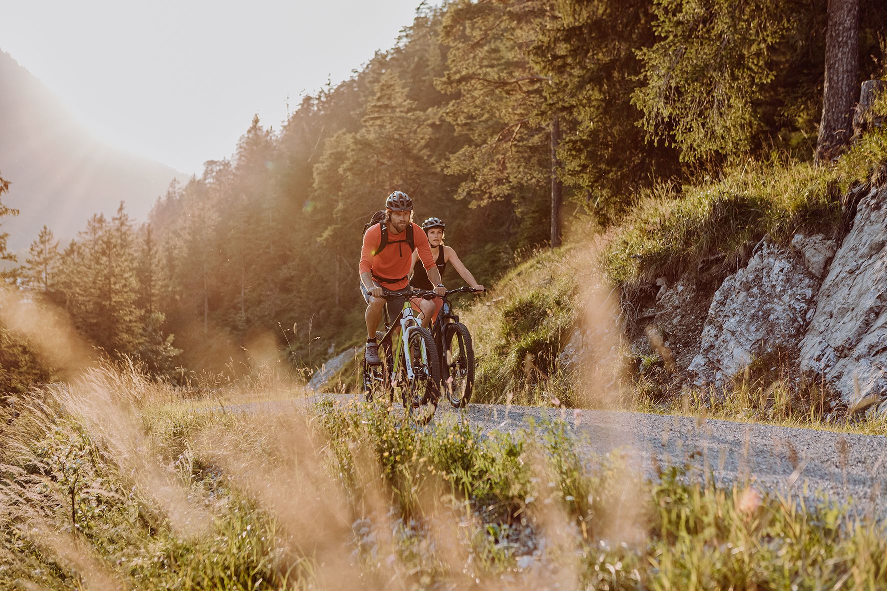
Alpine panorama and mountain huts – nature biking in Germany’s Allgäu
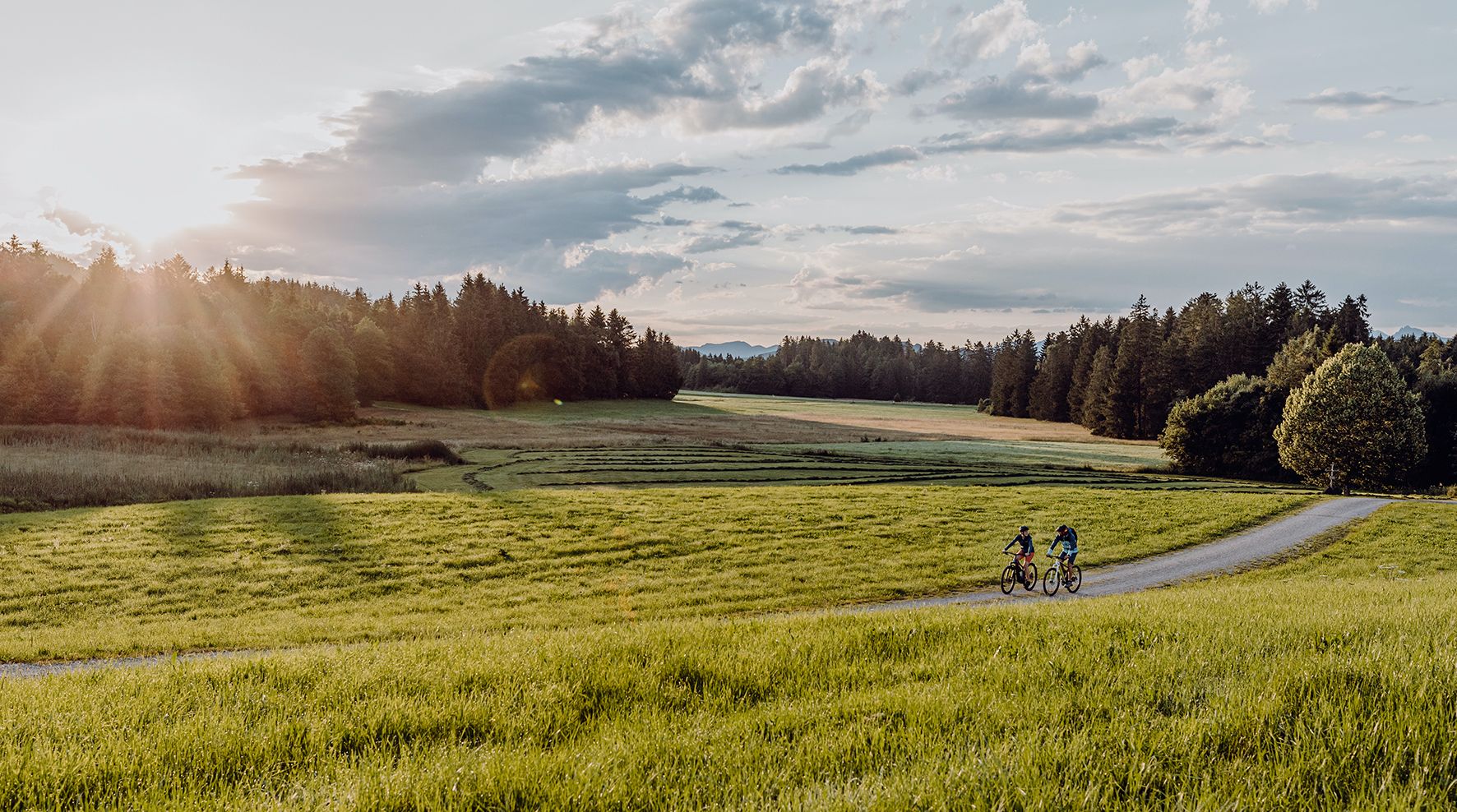
Allgäu Cycle Route — discover southern Germany & Tyrol
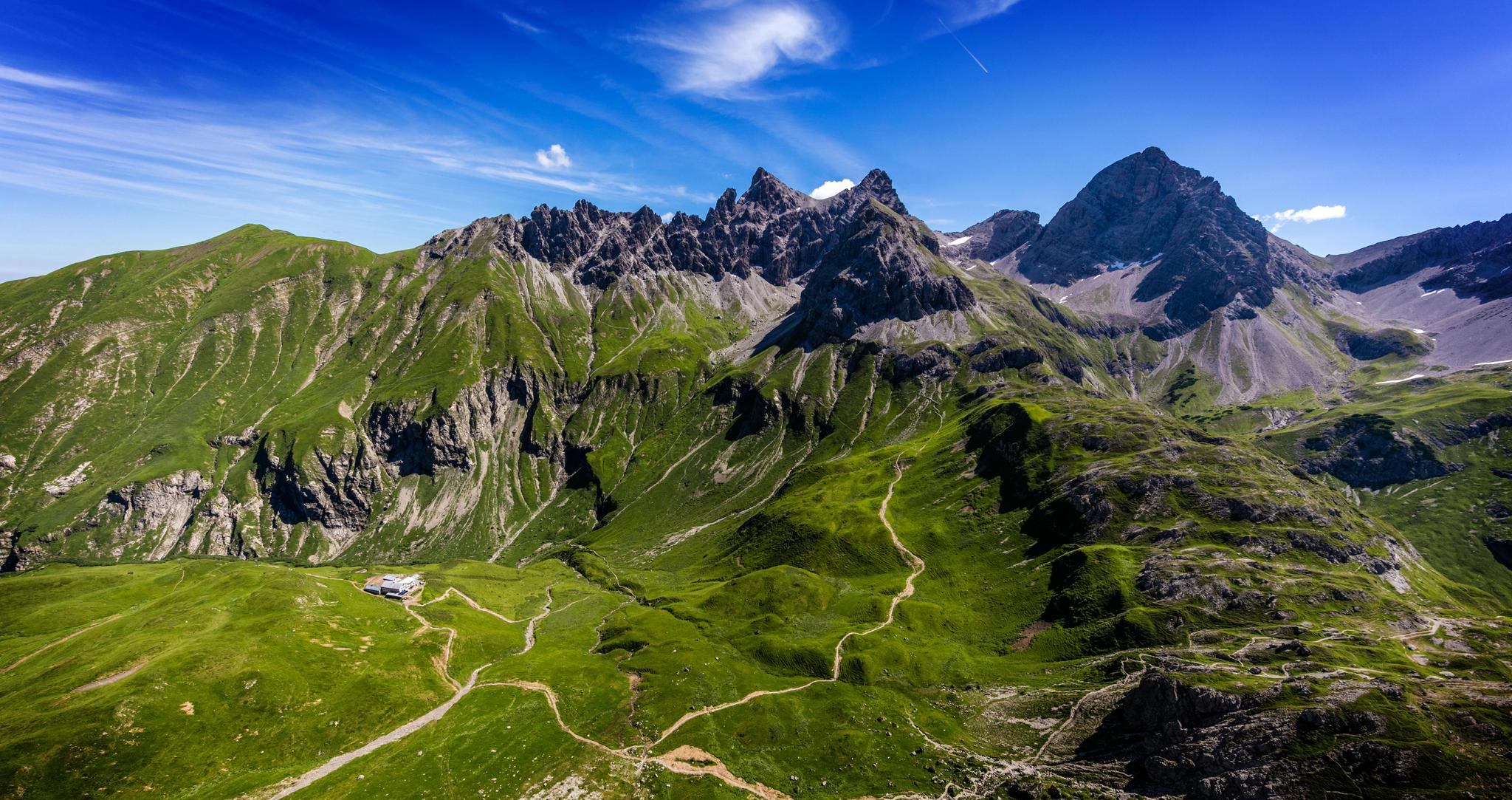
Alpenblick im Allgäu – 8 Wanderungen mit Bergpanorama
Cycling around Wertach
MTB Trails around Wertach
Running Trails around Wertach
Road Cycling Routes around Wertach
Mountain Hikes around Wertach
Other adventures around Wertach


Tips from the Community

Highly recommended - self-hunted game
0
0

The Felsentor at Sorgschrofen is a striking, narrow rock crevice and a key point on the demanding ridge path between the two mountain peaks Sorgschrofen (1,636 m) and Zinken (1,613 m) in the Allgäu Alps. The passage is a well-known key point that demands full concentration from mountain hikers.
4
0

Small waterfall with a seating area for observation.
0
0

Beautiful path around the Grüntensee on gravel paths
1
0

Good approach by bike via the (toll) road. Food very good
0
0

Super great Alpe, the cheese platter is mega delicious.
0
0

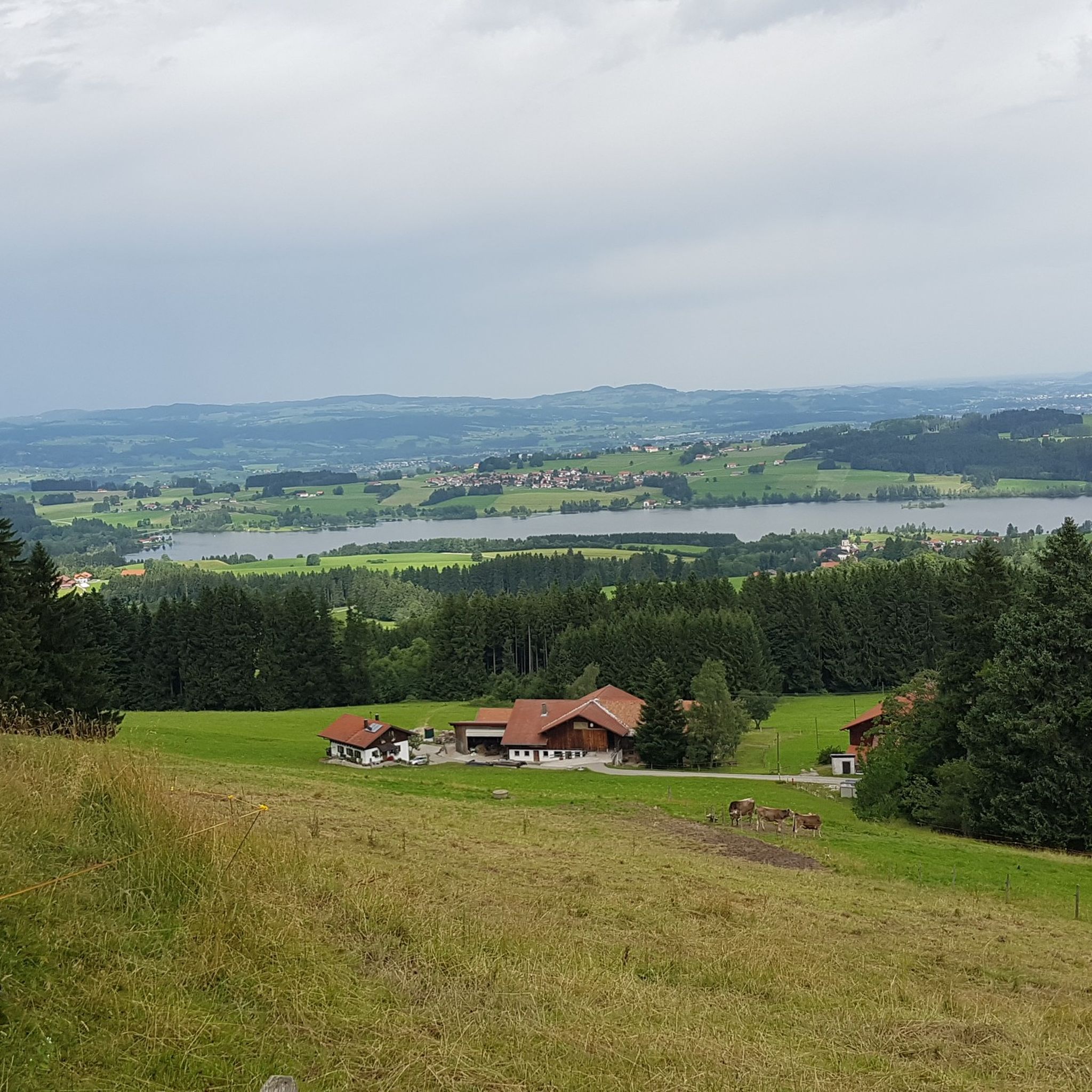
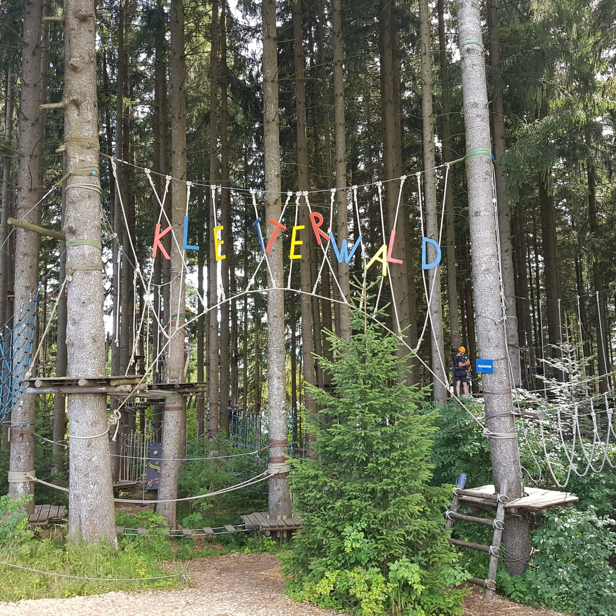
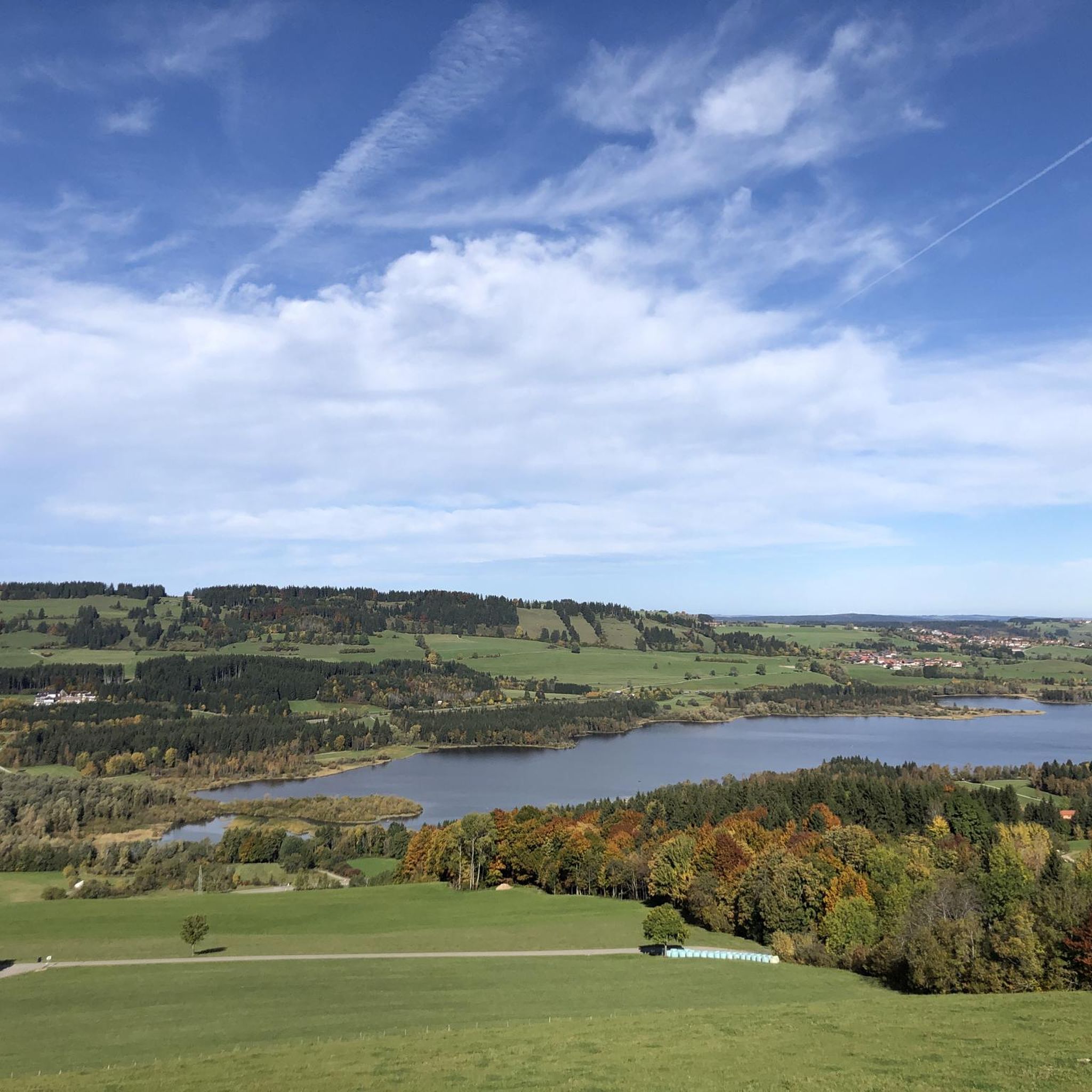
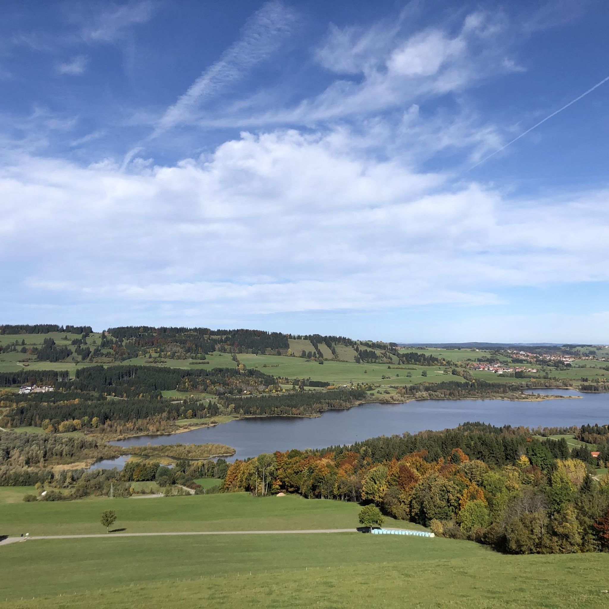
The reservoir was completed in 1962 and is used for flood protection and power generation. The Grüntensee and some areas of its shores are also used as recreational areas. On the north shore of the Grüntensee is the Kletterwald Grüntensee (a high ropes course). The lake was named after the Grünten mountain, which is about 11 kilometers southwest and is a striking feature on the northern edge of the Allgäu Alps. Source: https://de.wikipedia.org/wiki/Gr%C3%BCntensee
1
0
From the Alpe Obere Reuterwanne a meadow path leads directly to the summit of the Reuterwanne.
1
0
Frequently Asked Questions
How many hiking trails are there in Wertach?
Wertach offers a wide variety of hiking experiences, with over 160 routes available. These range from easy strolls to more challenging alpine tours, catering to all skill levels.
What is the best time of year to go hiking in Wertach?
Wertach is appealing for hiking throughout the year. Spring and summer showcase blooming nature, autumn transforms the forests into a sea of vibrant colors, and winter offers a wonderland for snowshoeing and winter hiking. The region's recognized health climate with clear air enhances the outdoor experience in any season.
Are there easy hiking trails suitable for beginners or families in Wertach?
Yes, Wertach has over 70 easy hiking trails. For families, the Wertach moorland trail is particularly recommended. It offers an educational and engaging experience for children to discover the unique flora and fauna of the moorlands with informative boards along the way.
Can I find challenging or difficult hikes in Wertach?
Absolutely. For experienced hikers seeking a challenge, Wertach offers 12 difficult routes. An example is the Unterjoch: Sorgschrofen circuit - Allgäu Alps, a demanding 7.5-mile trail through the Allgäu Alps.
Are there any circular hiking routes around Wertach?
Yes, many routes in Wertach are designed as loops. A popular moderate option is the Grüntensee – East Shore of the Grüntensee loop from Wertach, which provides a scenic path around the lake. Another challenging circular route is the Wertacher Hörnle – View of Lake Hörnlesee loop from Untere Bichler Alpe, leading through mountainous terrain.
What scenic viewpoints can I discover on hikes in Wertach?
Wertach offers abundant panoramic views of the Alpine panorama. Popular spots include the Wertacher Hörnle, known for its beautiful alprose blossoms around June, and the Grünten summit, often called the 'guardian of the Allgäu,' which provides breathtaking sunrise views. The View of Grüntensee – View from Reuterswanne Summit loop from Wald-Wild-Schongebiet Haslachalpe also offers stunning vistas.
Are there hikes that feature waterfalls or gorges in the Wertach area?
Yes, the region boasts impressive natural wonders. You can explore the captivating Hinanger Waterfall, particularly beautiful in autumn and winter, or the Nesselwang Waterfall trail. Additionally, the dramatic Starzlach Gorge and Reichenbach Gorge are nearby attractions worth exploring.
Can I hike around lakes in Wertach?
Yes, several picturesque lakes dot the landscape, offering beautiful hiking opportunities. These include Lake Rottachsee, especially stunning at sunrise with autumn colors, Grüntensee, and Hörnlesee. The Großer Waldsee also provides pleasant walks and a refreshing stop.
What do other hikers say about the trails in Wertach?
The routes in Wertach are highly rated by the komoot community, with an average score of 4.6 stars from over 15,000 reviews. Hikers often praise the diverse terrain, from majestic mountains and expansive meadows to dense forests, and the well-developed network of trails suitable for all levels.
Are there any nature conservation areas or special parks to explore?
A significant portion of Wertach's walking areas, specifically two-thirds, are protected nature conservation areas, ensuring the preservation of diverse flora and fauna. The Nagelfluhkette Nature Park is highly recommended for its stunning views and unique geological formations.
What kind of natural features define the hiking experience in Wertach?
The hiking experience in Wertach is defined by its stunning natural features, including majestic mountains like the Reuterwanne (1542 m), Wertacher Hörnle (1695 m), and Grünten (1738 m). Expansive green meadows, dense forests, and the crystal-clear Wertach River flowing through the area all contribute to its natural beauty.
Most popular routes around Wertach
Most popular attractions around Wertach

Get inspired with the komoot mobile app


Explore more
Browse the best Hikes in other regions.
