Routes

Planner

Features

Updates

App

Login or Signup

Get the App

Login or Signup

Routes
Hikes
Italy
South Tyrol

Stilfs - Stelvio

The best walks and hikes around Stilfs - Stelvio

4.7

(3661)

19,565

hikers

200

hikes

Hiking around Stilfs - Stelvio offers access to the diverse landscapes of Stelvio National Park, a vast area characterized by steep peaks, expansive glacial areas, and the prominent Ortler-Cevedale Group. The region features a succession of alpine pastures, fragrant coniferous forests, and significant glaciers and rocky terrains. This varied topography provides an extensive network of trails suitable for different hiking experiences.

Best hiking trails around Stilfs - Stelvio

  • The most popular hiking route is Hintergrathütte Loop Trail, a 6.7 miles (10.8 km) trail that takes 5 hours 8 minutes to complete, offering high alpine views.
  • Another top favourite among local hikers is Goldseeweg WWI Trail from Stilfser Joch, a difficult 10.2 miles (16.4 km) path. This route traverses historic WWI trails with high alpine scenery near Stelvio Pass.
  • Local hikers also love the Archaikweg historic trail through Stelvio National Park, a 6.7 miles (10.8 km) trail leading through varied terrain within the national park, often completed in about 3 hours 55 minutes.
  • Hiking around Stilfs - Stelvio is defined by alpine pastures, coniferous forests, and dramatic rocky terrains. The extensive network offers options for various ability levels, from leisurely walks to demanding mountain routes.
  • The routes in Stilfs - Stelvio are highly rated by the komoot community with an average score of 4.7 stars from over 3700 reviews. More than 19000 hikers have used komoot to explore Stilfs - Stelvio's varied terrain.

Last updated: July 7, 2026

4.8

(193)

871

hikers

#1.

Hintergrathütte Loop Trail

10.8km

05:08

770m

780m

Embark on the Hintergrathütte Loop Trail for a demanding alpine hike that rewards you with expansive panoramic views. This difficult 6.7-mile (10.8 km) route challenges you with 2517 feet (767 metres) of elevation gain, typically taking around 5 hours and 7 minutes to complete. As you ascend, you will encounter varied terrain, including gravel paths and sections with considerable scree. The trail offers stunning glacier vistas and leads you directly beneath the towering peaks of Ortler, Monte Zebrù, and Königspitze. Reaching the secluded Hintergrathütte provides a perfect spot to soak in the magnificent scenery, including the idyllic Hintergratsee.

To tackle this technically demanding route, you need good fitness and sure-footedness. Be prepared for sloping sections and a potential risk of slipping, especially if conditions are wet. Always check local weather forecasts before you head out, as alpine conditions can change rapidly. Starting early in the day is advisable to allow ample time for the full duration of the hike and to avoid afternoon storms. Ensure you carry sufficient water, snacks, and appropriate gear for high-altitude trekking.

This trail is notable for its direct views of the impressive Ortler massif, offering a unique perspective on the region's highest peaks. The route provides a true high-alpine experience within the Parco Nazionale dello Stelvio, showcasing its rugged beauty and glacial landscapes. It's an excellent choice if you are seeking a challenging adventure with significant elevation and a sense of remote wilderness. The presence of the Hintergrathütte also offers a welcome respite and a chance to appreciate the surroundings before your descent.

Navigate with device

Send to Phone

Save

Hard

4.8

(114)

574

hikers

The Goldseeweg WWI Trail from Stilfser Joch is a difficult hike that takes you through a high-alpine rock desert, with the majestic Ortler peak often in sight. This challenging route covers 10.2 miles (16.4 km) and features a substantial elevation gain of 2604 feet (794 metres). You should set aside approximately 6 hours and 52 minutes to complete it at a steady pace. Along the way, you'll encounter the distinctive Rifugio Garibaldi, a mountain hut resembling a small castle, where you can pause for refreshments and enjoy sweeping views over the famous serpentine road below.

You can start your adventure directly from the Stilfser Joch, which is known as Europe's highest pass road. Another option is to begin in Trafoi and use the chairlift to reach Furkelhütte, where you can then join the trail. Public transport connections make this route accessible, so you don't necessarily need a car to reach the trailhead. Always check current weather and trail conditions, as this high-altitude environment can change rapidly.

What makes this trail particularly unique is its profound historical significance, as it guides you through former World War I mountain front positions. You'll find information boards explaining the history of the conflict, the local geology, and the vegetation. Remnants like the Goldsee Position and the Lempruch Camp ruins offer tangible links to the past, while memorial crosses honor the soldiers who fought in these harsh conditions. It's a journey that blends natural beauty with compelling human history.

Hard
guide_signup
Let us show you the way with the komoot mobile app
With a free komoot account, you can easily find, customize, and navigate endless outdoor adventures.

Sign up for free

Embark on the Archaikweg historic trail, a moderate hike spanning 6.7 miles (10.8 km) with an elevation gain of 1393 feet (424 metres). This route takes you through varied terrain, from natural paths to alpine sections, offering sweeping valley views from the Agumser Bergwaal's wooden walkways. You can expect to complete this journey in about 3 hours and 55 minutes, immersing yourself in the stunning scenery of Stelvio National Park.

To plan your visit, the trail is accessible from Prato allo Stelvio. Public transport connections are available at Stilfserbrücke, making it convenient to reach the trailhead. Along the way, you will find rest spots equipped with benches and tables, perfect for a break. If you wish to refuel, local establishments like Albergo Traube or Stilfserhof are available.

This trail offers a unique blend of ancient history and natural beauty, following an old trans-alpine crossing route that connected the Etsch Valley to the Veltlin for centuries. You will walk past prehistoric settlements such as Gaschlin and encounter rock steps carved into the mountainside. The route provides multiple viewpoints showcasing the dramatic Ortler Group and Königsspitze peaks, connecting you to the footsteps of past mountain travelers.

Moderate

High alpine trail through Ortler peaks with reflective lakes and five-generation family hut hospitality.

Hard

Historic WWI battlefield hike from Stelvio Pass with trenches, bunkers and Ortler glacier views.

Hard
Sign up for free to see 196 more hikes around Stilfs - Stelvio.

Get access to more routes and recommendations from other explorers.

Sign up for free

Already have an account?

Our route recommendations are based on thousands of hikes, rides, and runs completed by other people on komoot.

Start today with a free account

Your next adventure awaits.

Login or Signup

Popular around Stilfs - Stelvio

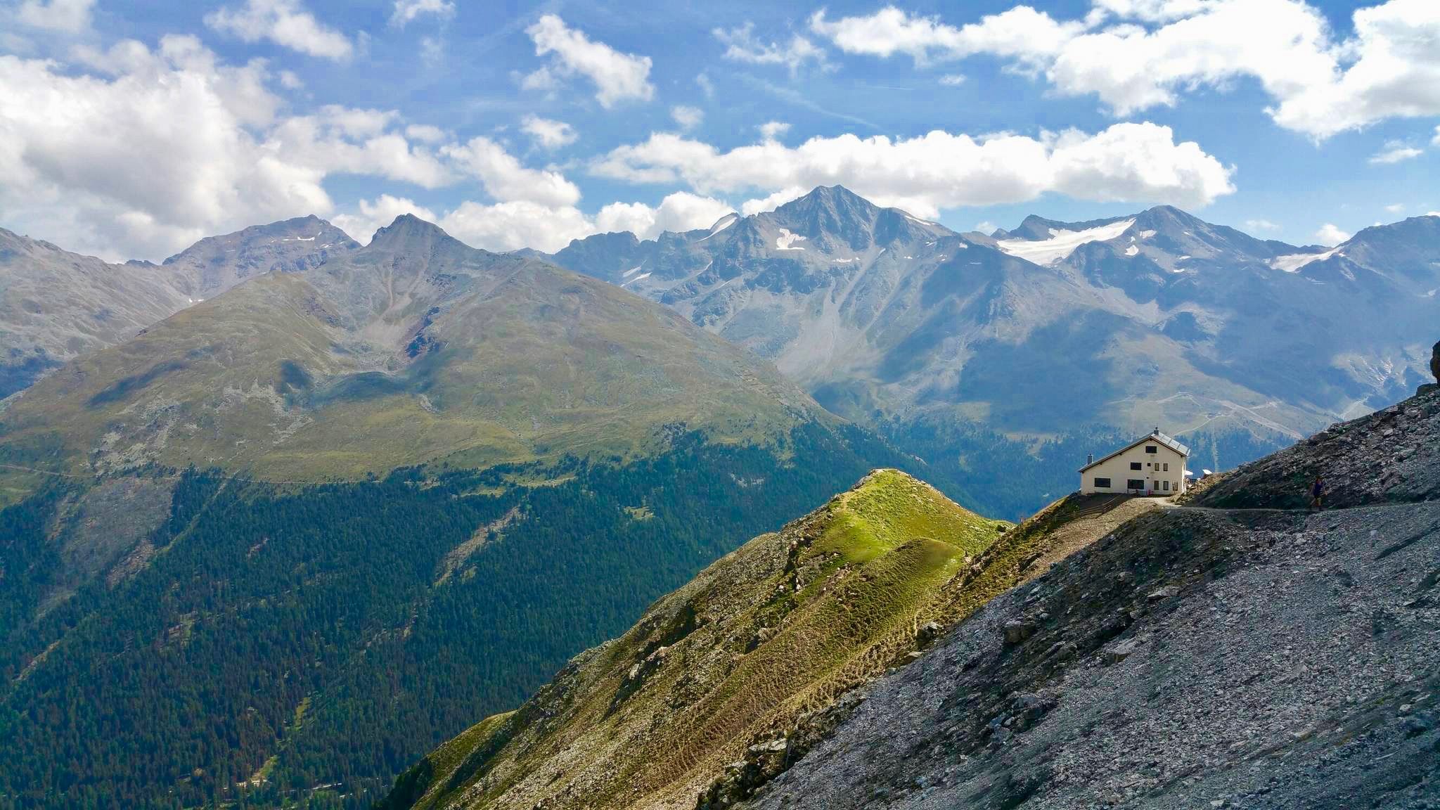
Huts with fantastic views
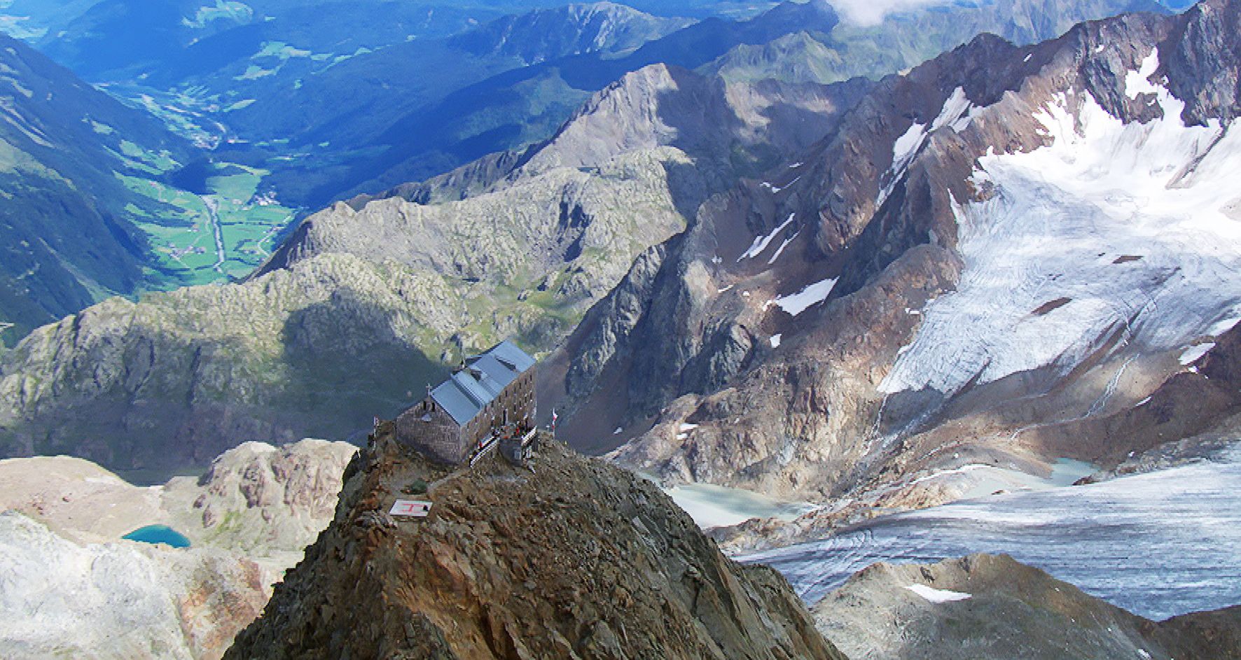
Sleep above 3000 meters
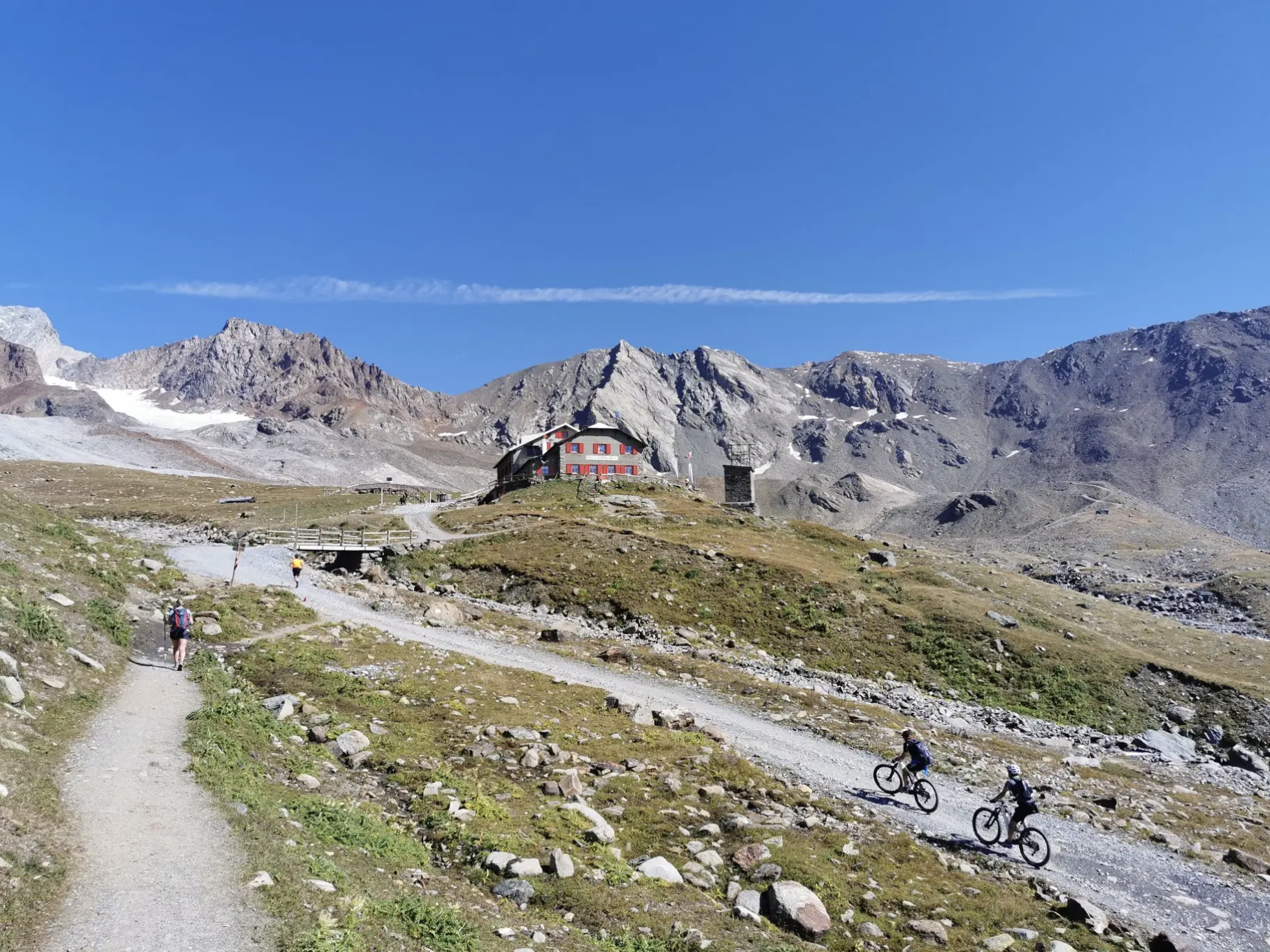
Around Ortler on high alpine trails in 7 stages
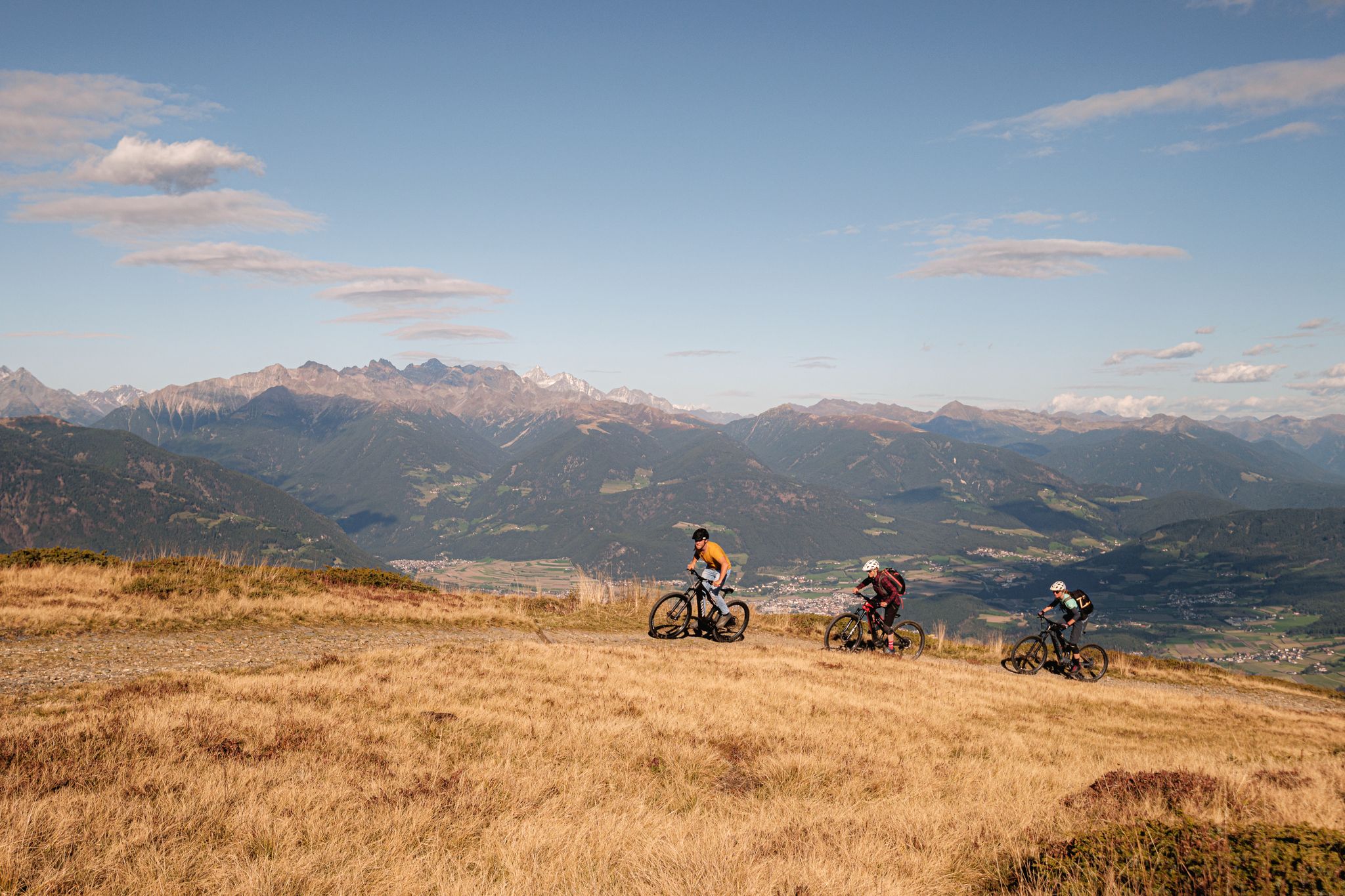
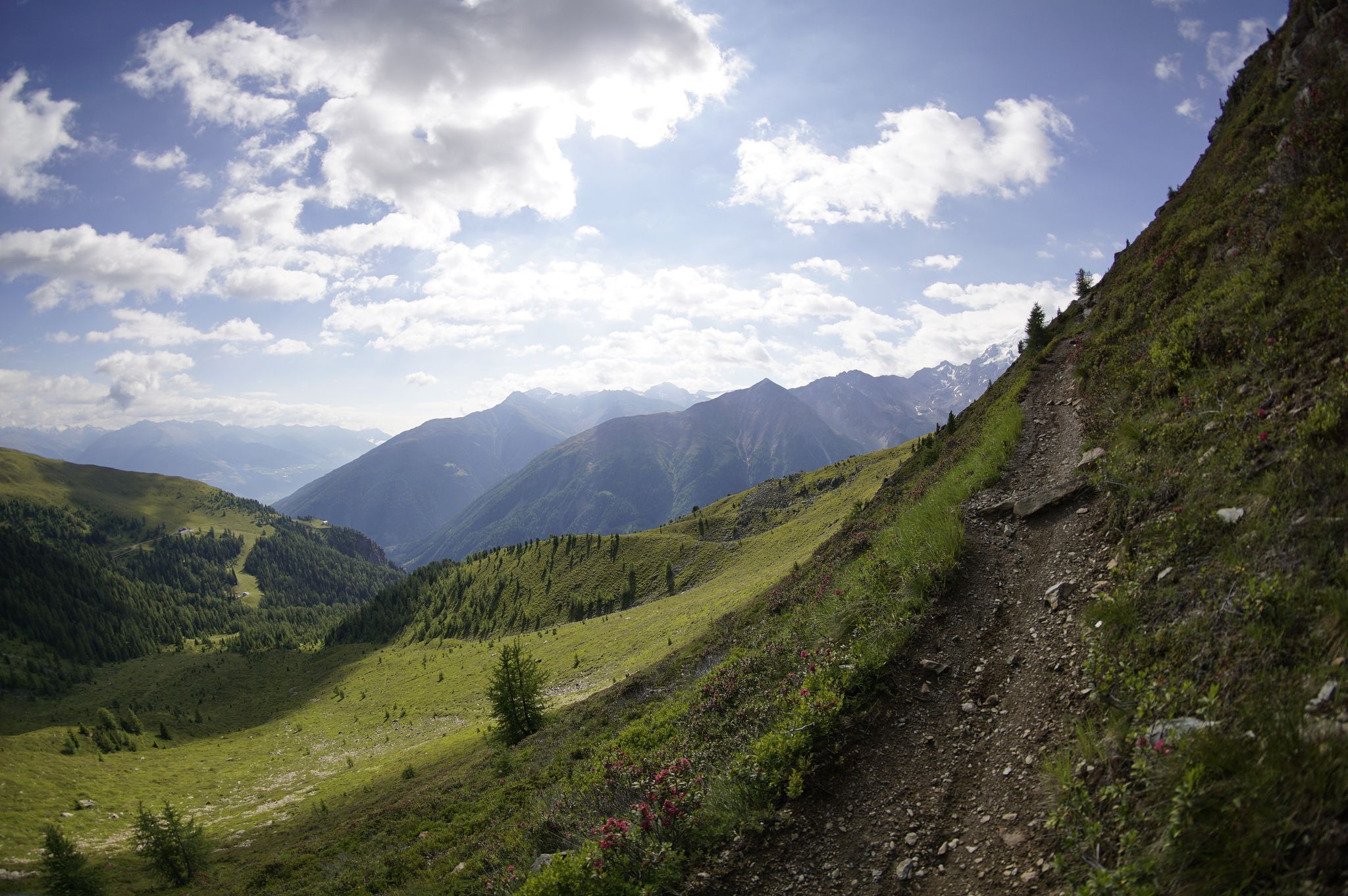
Glorious autumn – the coolest MTB Tours in South Tyrol
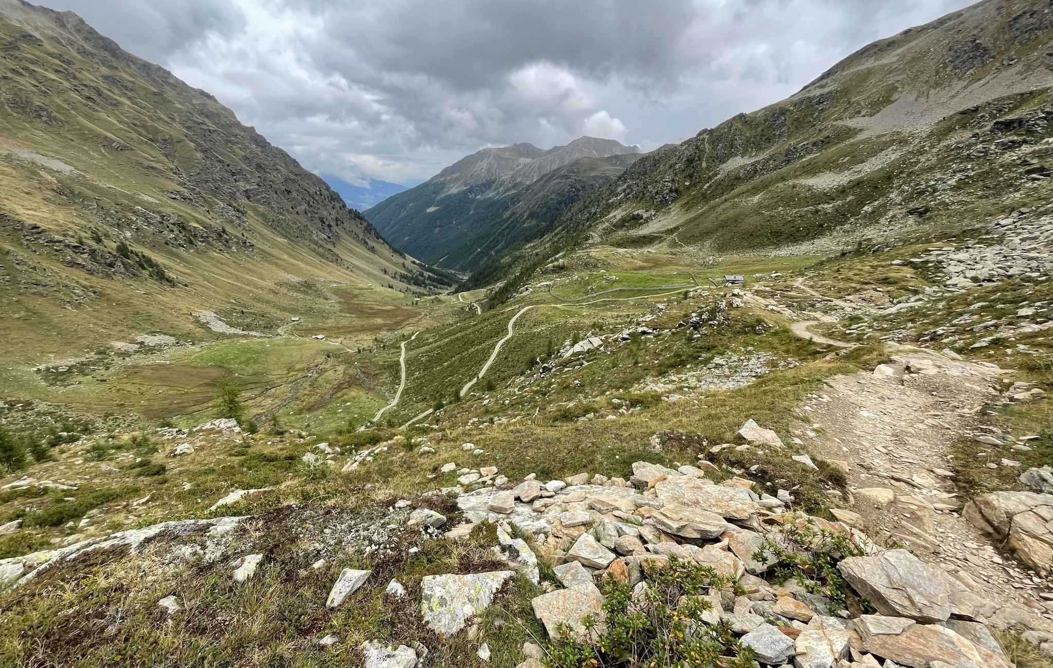
Between rocks and glaciers in Italy – Tour of Ortles by MTB
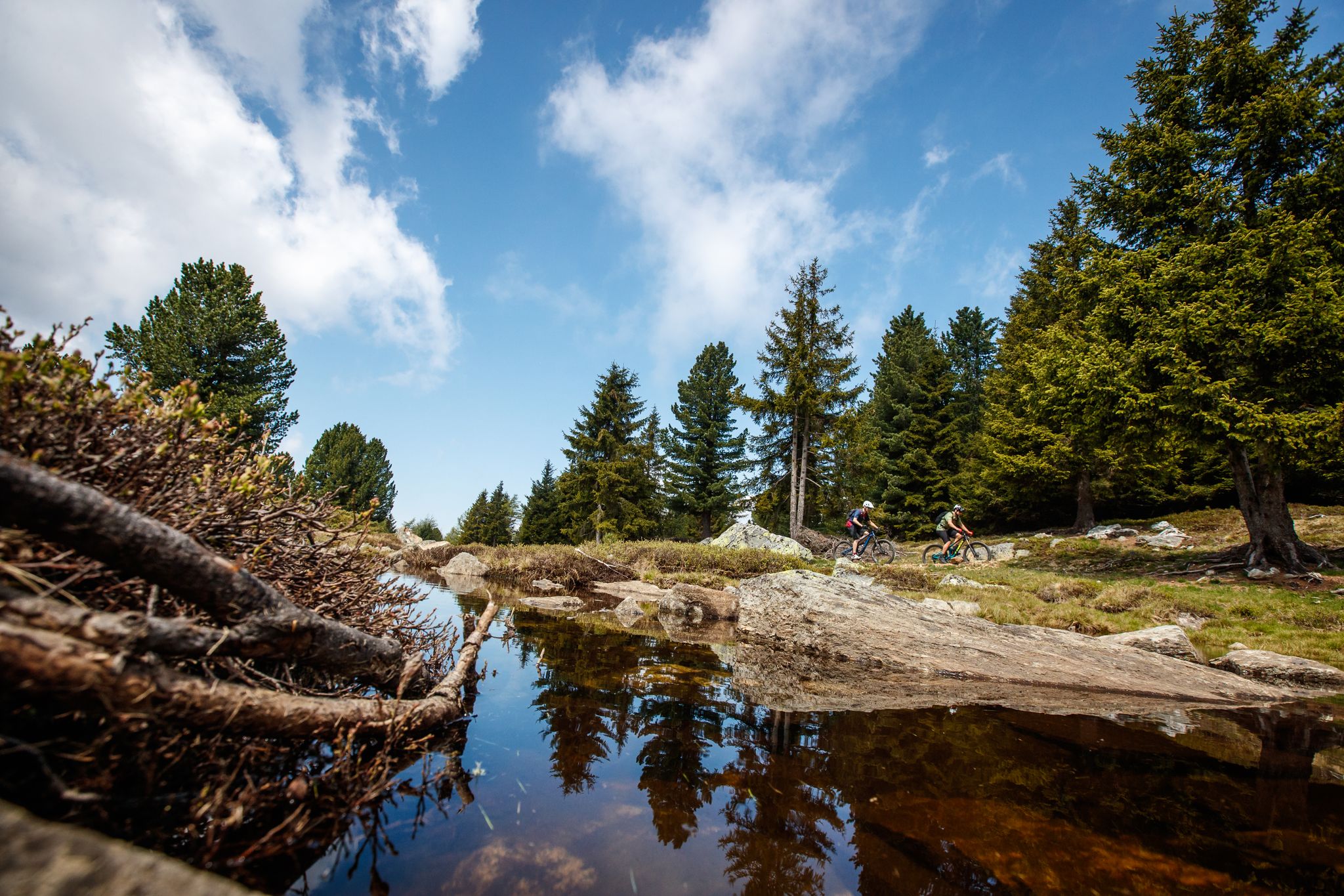
Bike between palm trees and glaciers in South Tyrol – Merano and Vinschgau
A transalp with a difference – cycling from Kappl to Sölden
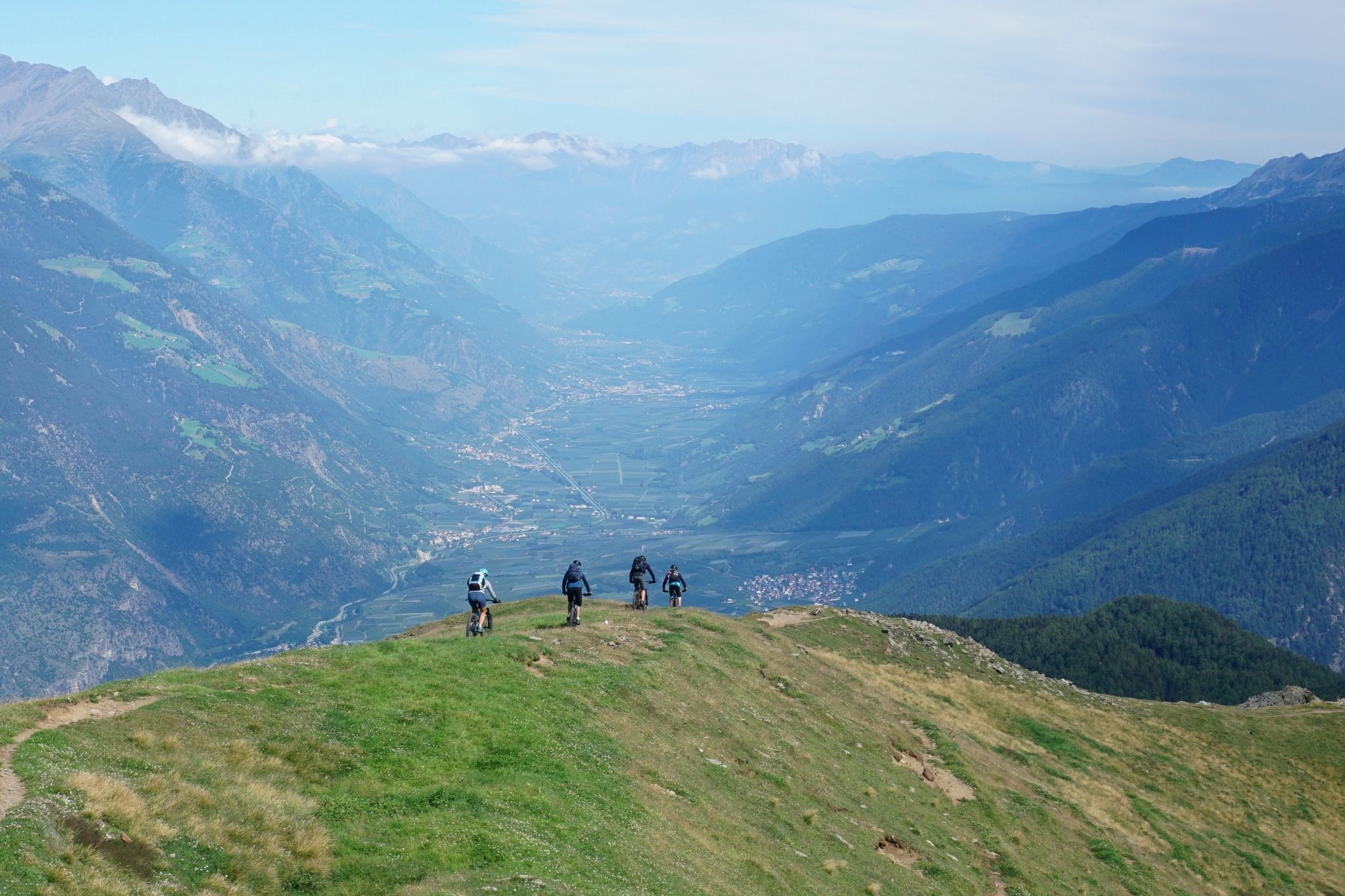
From Ischgl to Latsch in Italy – Enduro across the Alps
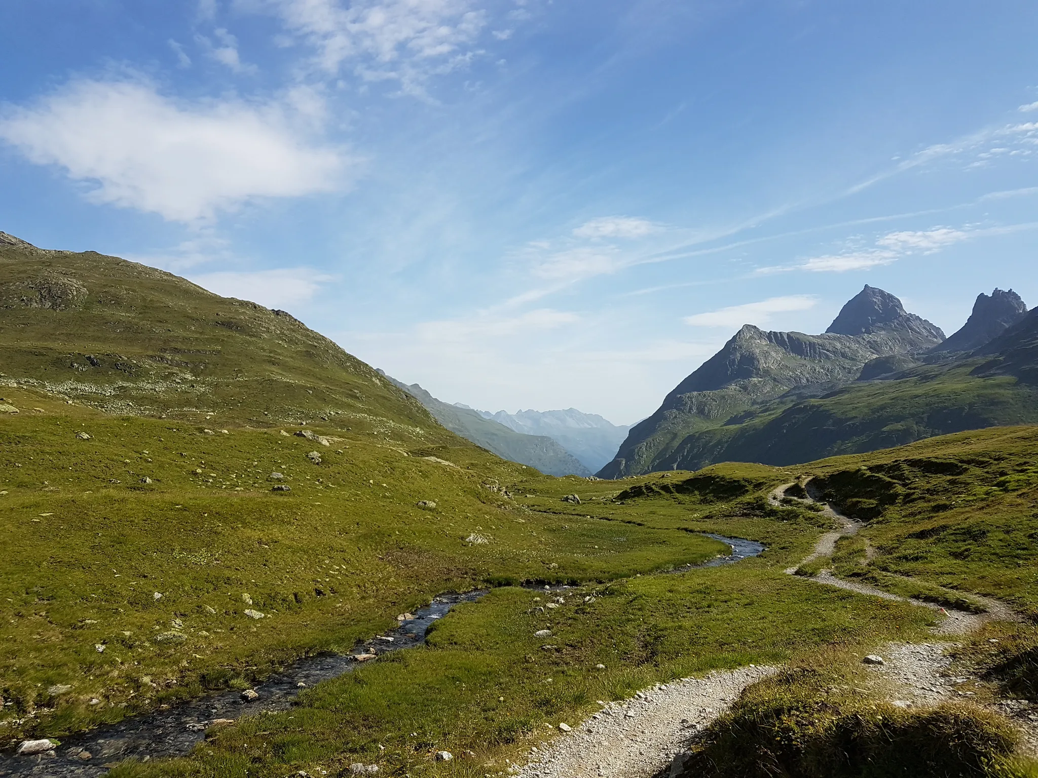
Joe route – A legendary MTB alpine crossing
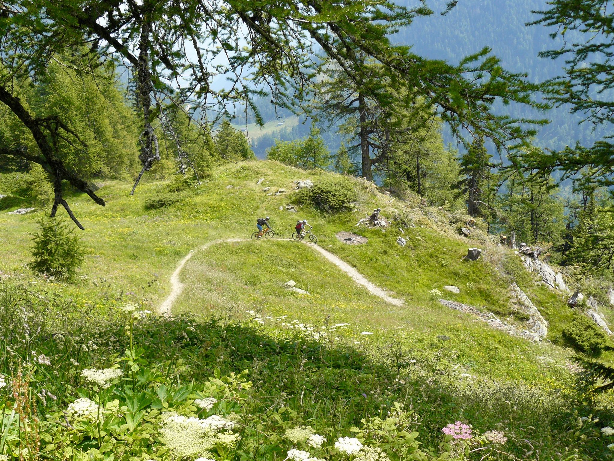
Up & down — mountain passes and singletracks for experts

Other adventures around Stilfs - Stelvio

Huts with fantastic views

Hiking Collection by

komoot

Tips from the Community

Enzo Mossini
September 21, 2025, Osservatorio circolare del Filon del Mot

beautiful panoramic tour at high altitude

Translated by Google

0

0

Rudolf FREI
August 27, 2025, View of Ortler

Magnificent view of King Ortler. The name says it all.

Translated by Google

0

0

From the Filon dei Mot, the view opens onto one of the most spectacular landscapes in Alta Valtellina: before you rises the imposing Ortles massif, the highest peak in South Tyrol, flanked by the peaks of the Cevedale Group. To the right, the shimmering white of the Monte Cristallo glacier, descending toward the valley with its seracs and crevasses, can be seen.

Translated by Google

1

0

This Italian observatory, located at the center of the Filon dei Mot ridge, is one of the most unique structures from the Great War in this area. Its circular layout, with embrasures along the entire perimeter, testifies to the exposed position of this outpost, just meters from the Austrian lines. Unlike other defensive structures, built of dry stone, the observatory was reinforced with cement mortar and walls up to 80 cm thick. A larger embrasure, facing Scorluzzo, housed a machine gun on a wooden mezzanine, now lost. Built under extremely difficult conditions, under enemy fire, the outpost was permanently occupied from 1916 and suffered several attacks.

Translated by Google

1

0

Memorial cross for the Tyrolean Riflemen on a small peak surrounded by old trenches and positions.

Translated by Google

2

0

Memorial cross for the Tyrolean Riflemen on a small peak surrounded by old trenches and positions

Translated by Google

2

0

ggg

0

0

This beautiful hillside path connects Prato allo Stelvio to Stelvio Paese following the course of the Rio Solda.

Translated by Google

1

0

Frequently Asked Questions

What kind of terrain and landscapes can I expect when hiking in Stilfs - Stelvio?

Hiking in Stilfs - Stelvio offers incredibly diverse landscapes within the Stelvio National Park. You'll encounter a succession of steep peaks, expansive glacial areas, and the prominent Ortler-Cevedale Group. The terrain includes alpine pastures, fragrant coniferous forests, and dramatic rocky areas. Unique 'Waalwege' trails, following ancient irrigation channels, also offer more leisurely walks.

Are there any notable natural features or landmarks to see while hiking in the region?

Yes, the region is rich in natural beauty and historical landmarks. You can experience the vastness of the Stelvio National Park, home to the Ortler-Cevedale Group and significant glaciers like the Forni glacier. Hikers can also enjoy stunning views such as the View of Ortler, or explore summits like Monte Vioz Summit and Monte Cevedale Summit. The area also features historic routes like the Goldseeweg WWI Trail.

What is the overall difficulty level of hiking trails in Stilfs - Stelvio?

Stilfs - Stelvio offers a wide range of trails suitable for various abilities. You'll find everything from easy, accessible paths perfect for families and casual strolls, to demanding multi-day mountain tours. Many routes, like the Hintergrathütte Loop Trail, are rated as difficult, requiring good fitness and sure-footedness. Overall, there are 26 easy, 92 moderate, and 80 difficult routes available.

Are there any family-friendly hiking options in Stilfs - Stelvio?

Yes, the region provides easy and accessible paths suitable for families. While specific family-designated trails aren't detailed, the extensive network includes options for various fitness levels, ensuring there are routes where children can safely and enjoyably participate. Look for trails described as 'easy' for the best family experience.

What do other hikers enjoy most about the trails in Stilfs - Stelvio?

The hiking trails in Stilfs - Stelvio are highly rated by the komoot community, with an average score of 4.7 stars from over 3700 reviews. Hikers often praise the stunning high alpine views, the diverse terrain ranging from forests to glaciers, and the historical significance of routes like the WWI trails near Stelvio Pass.

Are there any circular hiking routes available in Stilfs - Stelvio?

Yes, there are several circular routes. A notable one is the Archaikweg historic trail through Stelvio National Park, which is a moderate 10.8 km loop. This trail allows you to explore varied terrain and historical sections within the national park, typically completed in under 4 hours.

Can I hike with my dog in Stilfs - Stelvio?

Stelvio National Park generally welcomes dogs, but it's crucial to keep them on a leash, especially in areas with wildlife or grazing animals. Always check specific trail regulations or local signage, as some protected areas might have restrictions. Ensure your dog is fit for the chosen trail's difficulty and carry enough water for both of you.

What is the best time of year to go hiking in Stilfs - Stelvio?

The best time for hiking in Stilfs - Stelvio is typically from late spring to early autumn (June to September). During these months, the weather is generally more stable, and most trails, including higher alpine routes, are free of snow. Always check current weather conditions and trail status before heading out, especially for routes at higher elevations.

Are there any historical trails or routes with cultural significance?

Yes, the region is rich in history. The Goldseeweg WWI Trail from Stilfser Joch is a challenging route that traverses historic WWI trails, offering high alpine scenery and a glimpse into the past. Another option is the Archaikweg historic trail, which follows old sections of an Alpine traverse route.

Are there any high-altitude or challenging multi-day hikes available?

Yes, for experienced hikers, Stilfs - Stelvio offers challenging high-altitude routes. The Ortler-Cevedale Group features some of the highest peaks in the Eastern Alps. Routes like the Ortler High Mountain Trail from Düsseldorfer Hütte to Kälblealm are demanding and require very good fitness, sure-footedness, sturdy shoes, and alpine experience. The multi-day 'Ortler circuit with Cevedale ascent' is also a notable challenging option.

What kind of wildlife can I expect to see in Stelvio National Park?

Stelvio National Park boasts a diverse array of wildlife, with over 260 vertebrate species. Hikers might spot large birds of prey such as the golden eagle and bearded vulture soaring above. The park also has significant populations of ungulates, including deer and ibex, particularly in quieter areas and during dawn or dusk.

Most popular routes around Stilfs - Stelvio

Running Trails around Stilfs - Stelvio

Most popular attractions around Stilfs - Stelvio

Places to see

Store rating

Get inspired with the komoot mobile app

With a free komoot account, you can easily find, customize, and navigate endless outdoor adventures.

or

Join komoot Now

Store rating

Explore more

Browse the best Hikes in other regions.

Parch Natural Pöz-Odles - Naturpark Puez-Geisler - Parco Naturale Puez-OdleSëlva - Wolkenstein - Selva Di Val GardenaParch Natural Pöz-Odles - Naturpark Puez-Geisler - Parco Naturale Puez-OdleTexelgruppeNaturpark Fanes-Sennes-Prags - Parco Naturale Fanes-Sennes-BraiesNaturpark Fanes-Sennes-Prags - Parco Naturale Fanes-Sennes-BraiesPrags - BraiesKastelruth - CastelrottoSexten - SestoVillnöß - FunesNaturpark Texelgruppe - Parco naturale Gruppo di TessaNaturpark Texelgruppe - Parco naturale Gruppo di TessaSanta Cristina Gherdëina - St. Christina In Gröden - Santa Cristina ValgardenaUrtijëi - St. Ulrich In Gröden - OrtiseiSan Martin De Tor - San Martino In Badia - St. Martin In ThurnRitten - RenonTirol - TiroloKaltern An Der Weinstraße - Caldaro Sulla Strada Del VinoCorvara In Badia - CorvaraTiers - TiresMoos In Passeier - Moso In PassiriaBadia - AbteiBrixen - BressanoneNaturpark Drei Zinnen - Parco Naturale Tre CimeNaturpark Schlern-Rosengarten – Parco naturale dello Sciliar-CatinaccioRatschings - RacinesPartschins - ParcinesGraun - Curon VenostaSchenna - ScenaEppan An Der Weinstraße - Appiano Sulla Strada Del VinoSand In Taufers - Campo TuresAlgund - LagundoMühlbach - Rio Di PusteriaTruden Im Naturpark - Trodena Nel Parco NaturaleVöls Am Schlern - Fié Allo SciliarSchnals - SenalesUlten - UltimoRasen-Antholz - Rasun-AnterselvaWelschnofen - Nova LevanteMals - Malles VenostaLanaBiotop Seikofel-Nemes - Biotopo Monte Covolo-NemesMühlwald - Selva Dei MoliniToblach - DobbiacoNaturpark Rieserferner-Ahrn - Parco Naturale Vedrette Di Ries-AurinaJenesien - San Genesio AtesinoNaturns - NaturnoMartell - MartelloMarling - MarlengoHafling - AvelengoAhrntal - Valle AurinaAldein - AldinoSt. Leonhard In Passeier - San Leonardo In PassiriaKlausen - ChiusaMarèo - Enneberg - MarebbeMeran - MeranoVöran - VeranoLatsch - LacesNaturpark Trudner Horn - Parco Naturale Monte CornoNaturpark Rieserferner-Ahrn - Parco Naturale Vedrette di Ries-AurinaSarntal - SarentinoVintl - VandoiesVahrn - VarnaBrenner - BrenneroVillanders - VillandroGsies - Valle Di CasiesOlang - ValdaoraKiens - ChienesDeutschnofen - Nova PonenteTerenten - TerentoSterzing - VipitenoBarbian - BarbianoMölten - MeltinaPrettau - PredoiBruneck - BrunicoSt. Lorenzen - San Lorenzo Di SebatoLüsen - LusonBolzano - BozenWelsberg-Taisten - Monguelfo-TesidoLa Val - Wengen - La ValleInnichen - San CandidoSchlanders - SilandroSalorno - SalurnTisens - TesimoKarneid - Cornedo All'IsarcoPfitsch - Val Di VizzeRodeneck - RodengoPrad Am Stilfser Joch - Prato Allo StelvioPfalzen - FalzesTramin An Der Weinstraße - Termeno Sulla Strada Del VinoKastelbell-Tschars - Castelbello-CiardesWaidbruck - Ponte GardenaNiederdorf - VillabassaKalterer See - Lago di CaldaroPercha - PercaMontan - MontagnaBosch De ResciesaUnsere Liebe Frau Im Walde-St. Felix - Senale-San FeliceNatz-Schabs - Naz-SciavesLajen - LaionSt. Pankraz - San PancrazioGaisLaas - LasaLaives - LeifersSankt Pankraz - San PancrazioFeldthurns - VelturnoFreienfeld - Campo Di TrensMontiggler Wald - Bosco di MonticoloSt. Martin In Passeier - San Martino In PassiriaSchluderns - SludernoZufritt-Stausee - Lake di GioverettoTaufers Im Münstertal - TubreGroßer Montiggler Lake - Lake Grande di MonticoloNeumarkt - EgnaAnterivo - AltreiTerlan - TerlanoGrünsee - Lake VerdeWeißbrunnsee - Lake Fontana BiancaRiffian - RifianoTscherms - CermesZoggler-Stausee - Lake artificiale di ZoccoloKurtatsch An Der Weinstraße - Cortaccia Sulla Strada Del VinoNals - NallesToblacher Lake - Lake di DobbiacoLaurein - LauregnoVadena - PfattenGlurns - GlorenzaBiotop Kalterer See - Biotopo Lago Di CaldaroDurnholzer Lake - Lake di ValdurnaProveis - ProvesBurgstall - PostalAndrian - AndrianoKuens - CainesAuer - OraPlausNeves-Stausee - Lake di NevesBronzolo - BranzollFranzensfeste - FortezzaPankrazer Stausee - Lake di AlboreloHaidersee - Lago della MutaDürrensee - Lake di LandroMagrè Sulla Strada Del VinoVernagt-Stausee - Lake di VernagoOlanger Lake - Lake di ValdaoraKurtinig An Der Weinstraße - Cortina Sulla Strada Del VinoReschensee - Lago di ResiaGargazon - GargazzoneStausee Franzensfeste - Lake di Fortezza

Nearby adventure guides

Things to Do around Parco Nazionale dello Stelvio

background

Get ready to conquer new peaks

Sign up for Free

Explore
RoutesRoute plannerFeaturesHikesMTB TrailsRoad cycling routesBikepackingSitemap
Download the app
Follow Us on Socials

© komoot GmbH

Privacy Policy