The best walks and hikes around Pisciotta
4.4
(510)
1,931
hikers
13
hikes
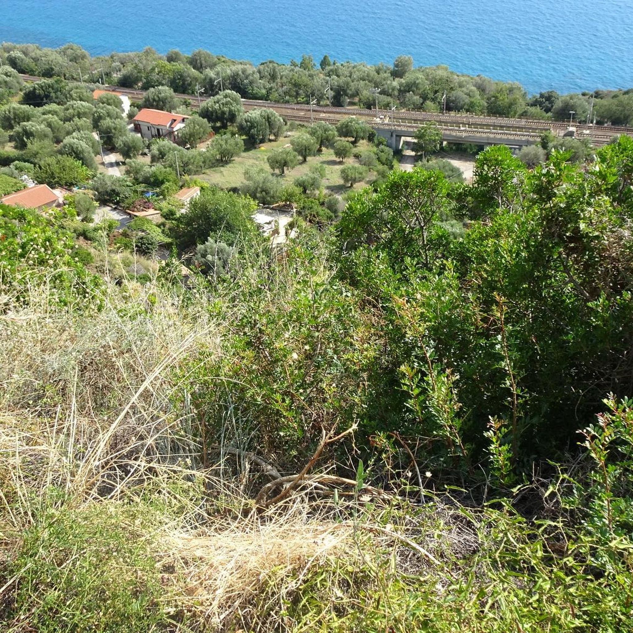
Hiking around Pisciotta offers diverse trails through the Cilento, Vallo di Diano and Alburni National Park, a region characterized by its Mediterranean vegetation, historic villages, and coastal views. The landscape features rolling hills, olive groves, and paths leading to the Tyrrhenian Sea. Elevation changes are common, providing varied hiking experiences from moderate climbs to gentler coastal walks. The area's geology includes limestone formations and fertile valleys, supporting a rich biodiversity.
Best hiking trails around Pisciotta
- The most popular hiking route is The Castelluccio Trail in the Cilento, Vallo di Diano and Alburni National Park – loop from Pisciotta, a 6.6 miles (10.6 km) trail that takes 3 hours 37 minutes to complete, offering views within the national park.
- Another top favourite among local hikers is Trail to Rodio – San Belardino Pass loop from Rodio, a moderate 4.9 miles (7.9 km) path. This route features a pass and provides a circular journey through the local terrain.
- Local hikers also love the Pisciotta Historic Village – Marina di Pisciotta loop from Pietracciaio, a 6.0 miles (9.6 km) trail leading through historic villages and coastal areas, often completed in about 2 hours 47 minutes.
- Hiking around Pisciotta is defined by historic village paths, coastal routes, and trails within the national park. The network offers options for different ability levels, from moderate loops to more challenging ascents.
- The routes in Pisciotta are highly rated by the komoot community with an average score of 4.4 stars from over 400 reviews. More than 1500 hikers have used komoot to explore Pisciotta's varied terrain.
Last updated: October 8, 2026
4.1
(34)
118
hikers
Moderate hike. Good fitness required. Mostly accessible paths. Sure-footedness required.
3.7
(3)
4
hikers
7.89km
02:33
340m
340m
Moderate hike. Good fitness required. Easily-accessible paths. Suitable for all skill levels.

3.7
(3)
10
hikers
8.59km
02:31
240m
240m
Moderate hike. Good fitness required. Easily-accessible paths. Suitable for all skill levels.
4.5
(2)
6
hikers
16.3km
05:05
570m
570m
Hard hike. Very good fitness required. Mostly accessible paths. Sure-footedness required.
3.7
(3)
9
hikers
7.35km
02:10
220m
210m
Moderate hike. Good fitness required. Easily-accessible paths. Suitable for all skill levels.
Get access to more routes and recommendations from other explorers.
Already have an account?
Our route recommendations are based on thousands of hikes, rides, and runs completed by other people on komoot.
Start today with a free account
Your next adventure awaits.
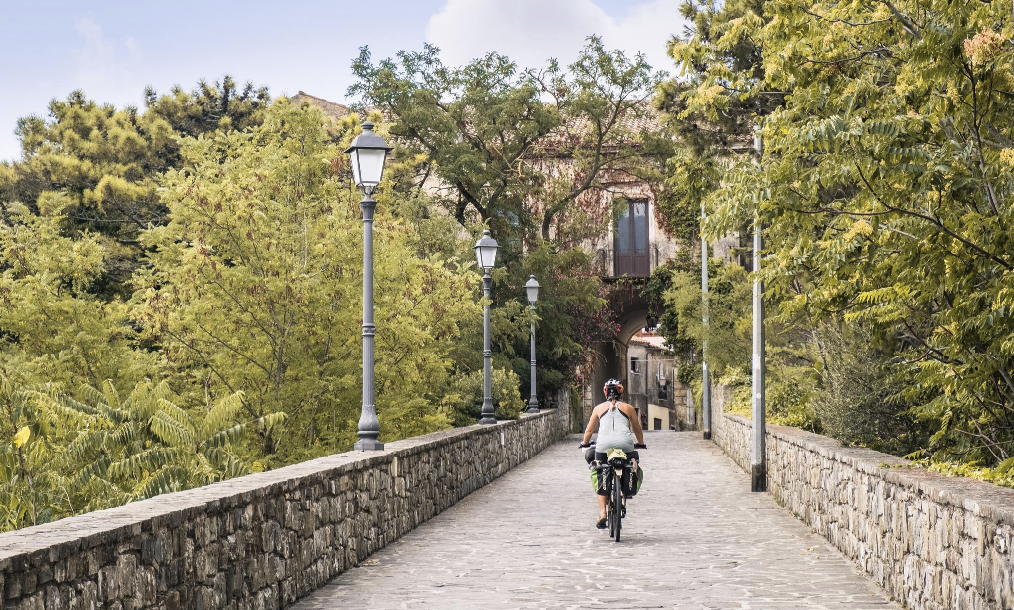
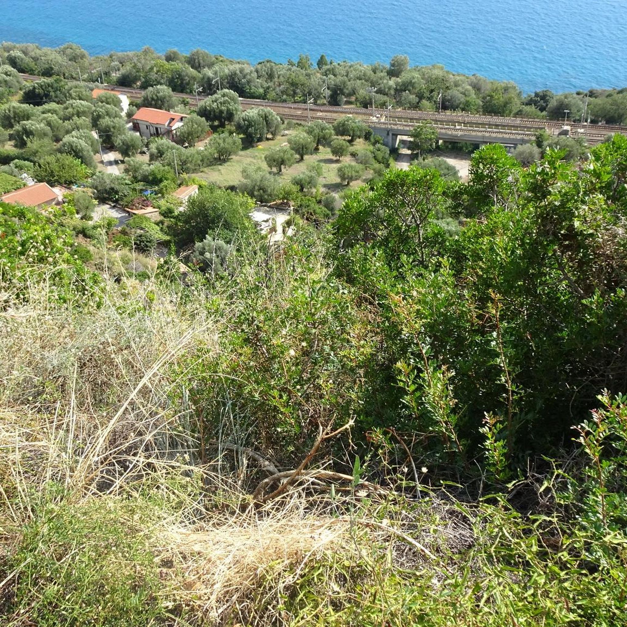
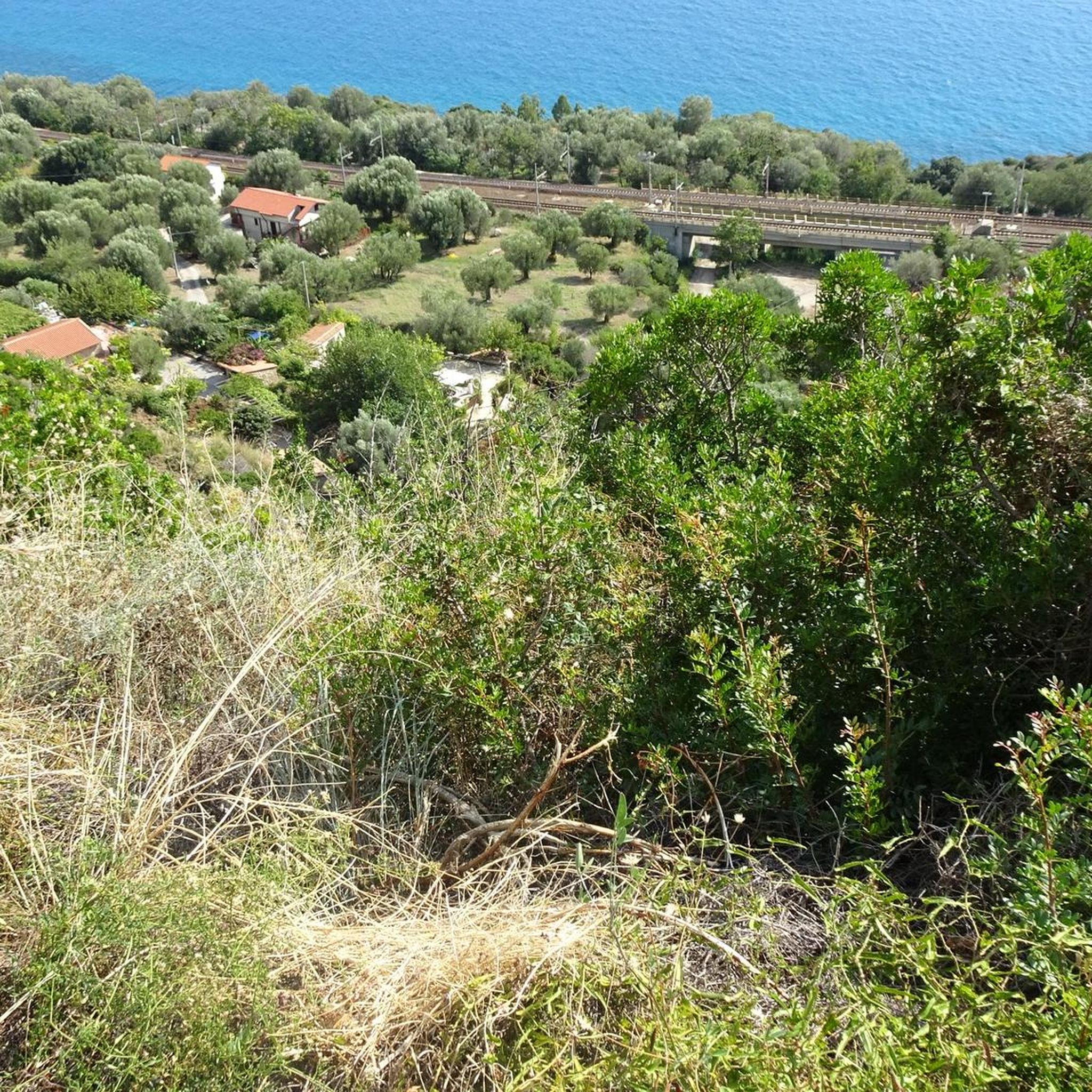
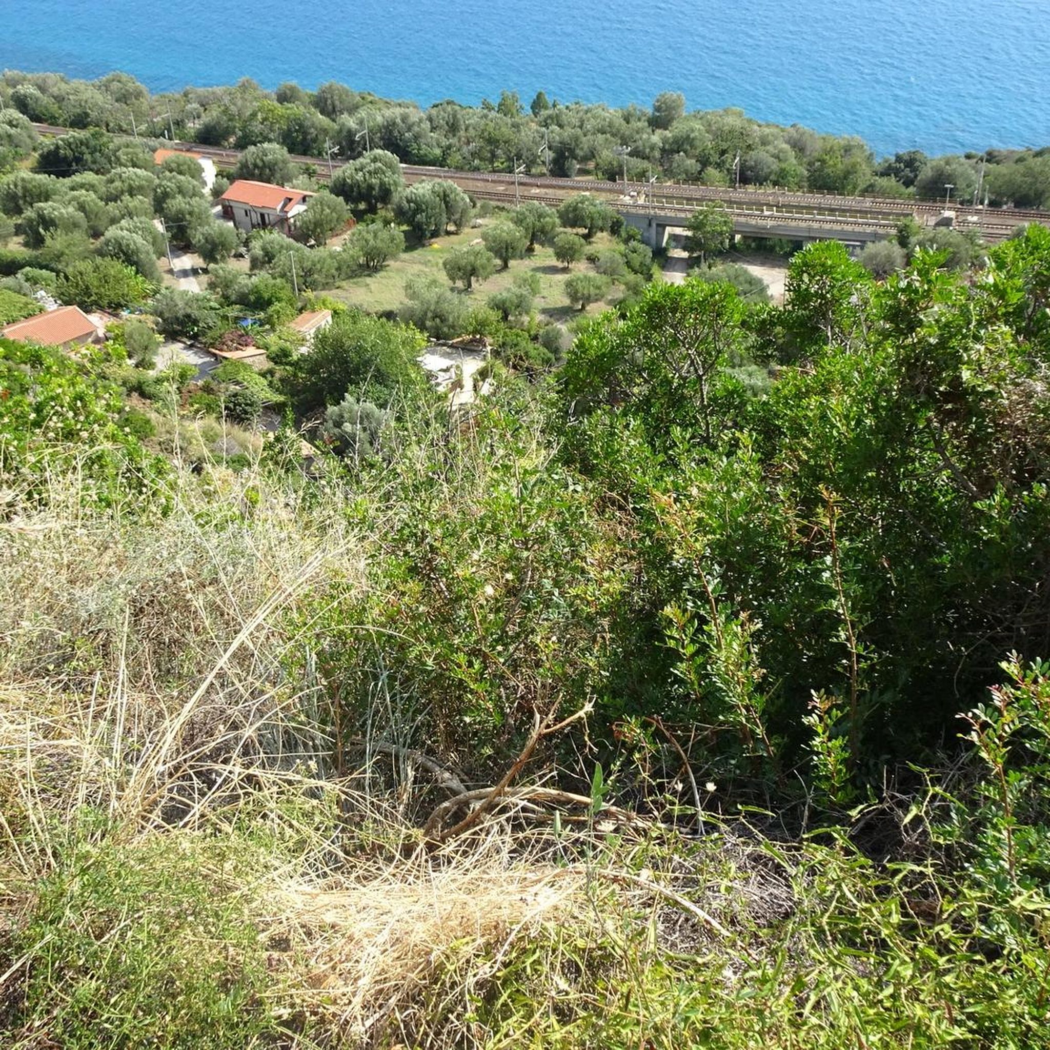
Other adventures around Pisciotta

Tips from the Community

The church is in the center of the old town. The Baroque style inside seems a bit odd given the surroundings. But it's beautiful!
0
0


A bench with a table for a break with a view
0
0

Possibility to take a break with a view of the mountains - the bench is currently part of an ant trail
0
0
Crossroads above Pisciotta with remains of the former chapel of San Bernardino
0
0
In clear weather beautiful view into the interior of the Cilento - today unfortunately in clouds
0
0
A pleasant little mountain town with many narrow streets and stairs - a longer stay is worthwhile!
0
1

Connection with the crossroads of the itinerary that connects Pisciotta to Castelluccio, reachable from Pietralata
0
0
Frequently Asked Questions
How many hiking trails are available around Pisciotta?
Pisciotta offers a selection of over 10 hiking trails. These routes traverse diverse landscapes, including historic villages, coastal areas, and paths within the Cilento, Vallo di Diano and Alburni National Park.
Are there any easy hiking trails suitable for beginners or families in Pisciotta?
While many trails are moderate, there are options suitable for those seeking a gentler experience. The area's paths often feature varied terrain, but some coastal walks or village loops can be less strenuous. For a family-friendly option, consider exploring parts of the historic village paths.
What kind of challenging hikes can I find near Pisciotta?
For those seeking a more challenging experience, Pisciotta offers routes with significant elevation changes. An example is the Castelluccio di Pisciotta – Pisciotta Historic Village loop from Pisciotta, which is rated as difficult and covers a longer distance with notable ascents.
Are there circular hiking routes in Pisciotta?
Yes, many of the trails around Pisciotta are circular, offering convenient starting and ending points. A popular option is Trail to Rodio – San Belardino Pass loop from Rodio, which provides a complete journey through the local terrain.
What are some interesting landmarks or attractions I can see while hiking in Pisciotta?
The region is rich in both historical and natural attractions. You can explore the historic village of Pisciotta itself, or venture to sites like the Acropolis of Velia and the Velia Archaeological Site (Ancient Elea). For natural beauty, look for the Arco Naturale di Palinuro or enjoy views from the Capo Palinuro Lighthouse.
Is it possible to find less crowded or 'hidden gem' trails in Pisciotta?
While some routes are popular, the extensive network within the Cilento, Vallo di Diano and Alburni National Park means you can often find quieter paths. Exploring trails that connect smaller hamlets or venturing slightly off the main coastal routes can lead to more secluded experiences, especially outside peak tourist seasons.
What do other hikers enjoy most about hiking in Pisciotta?
The hiking trails in Pisciotta are highly rated by the komoot community, with an average score of 4.4 stars from over 400 reviews. Hikers frequently praise the diverse scenery, which includes olive groves, historic villages, and stunning coastal views, as well as the well-maintained paths within the national park.
Are there any trails that offer views of the sea or opportunities for wild swimming?
Many trails in Pisciotta lead towards or along the Tyrrhenian Sea, offering beautiful coastal vistas. The Pisciotta Historic Village – Marina di Pisciotta loop from Pietracciaio, for instance, connects historic areas with the coast. While specific wild swimming spots aren't always part of the hiking route descriptions, the proximity to the sea means opportunities often exist nearby, particularly in less developed coves.
What is the best time of year to go hiking in Pisciotta?
The Mediterranean climate makes spring (April-May) and autumn (September-October) ideal for hiking in Pisciotta. Temperatures are pleasant, and the landscape is vibrant. Summer can be very hot, making early morning or late afternoon hikes preferable, while winter offers milder temperatures but some trails might be less accessible due to rain.
Are there hiking trails near Pisciotta that are accessible by public transport?
Pisciotta is connected by local bus services, and the Pisciotta-Palinuro train station serves the area. While direct access to all trailheads by public transport might be limited, many routes start from or pass through villages like Pisciotta or Rodio, which are more accessible. It's advisable to check local bus schedules for specific connections to your chosen trailhead.
Is parking available at the trailheads around Pisciotta?
Parking availability varies depending on the trailhead. In larger villages like Pisciotta, you can usually find public parking areas. For routes starting in smaller hamlets or more remote locations, parking might be limited to roadside spots. It's recommended to plan your route and check for designated parking zones in advance, especially during peak season.
Can I bring my dog on the hiking trails in Pisciotta?
Generally, dogs are welcome on many hiking trails in the Cilento, Vallo di Diano and Alburni National Park, provided they are kept on a leash and owners adhere to responsible pet ownership practices, including cleaning up after them. Always check specific trail regulations, especially in protected areas or private lands, to ensure dogs are permitted.
Most popular attractions around Pisciotta

Get inspired with the komoot mobile app


Explore more
Browse the best Hikes in other regions.
