The best walks and hikes around Schnelldorf
4.6
(117)
287
hikers
46
hikes
Hiking around Schnelldorf offers exploration through diverse natural landscapes in Bavaria, Germany. The region features gently rolling hills, rich forests, expansive meadows, and meandering streams. Situated along the European main watershed and within the Frankenhöhe Nature Park, the area provides varied ecosystems and tranquil terrain. Key features include the deciduous Kapellwald with its deeply cut streambeds and the Stepped Edge Bay, offering views of the Hohenlohe Plain.
Best hiking trails around Schnelldorf
- The most popular hiking route is Frankenhöhe Nature…
Last updated: July 4, 2026
4.7
(10)
34
hikers
6.57km
01:48
110m
110m
Easy hike. Great for any fitness level. Easily-accessible paths. Suitable for all skill levels.
5.0
(5)
18
hikers
Easy hike. Great for any fitness level. Easily-accessible paths. Suitable for all skill levels.

Sign up for free
4.9
(10)
14
hikers
10.1km
02:42
110m
110m
Moderate hike. Good fitness required. Easily-accessible paths. Suitable for all skill levels.
4.1
(11)
18
hikers
Easy hike. Great for any fitness level. Easily-accessible paths. Suitable for all skill levels.
5.0
(1)
15
hikers
7.66km
01:58
40m
40m
Easy hike. Great for any fitness level. Easily-accessible paths. Suitable for all skill levels.
Get access to more routes and recommendations from other explorers.
Sign up for free
Already have an account?
Our route recommendations are based on thousands of hikes, rides, and runs completed by other people on komoot.
Start today with a free account
Your next adventure awaits.
Login or Signup
Popular around Schnelldorf
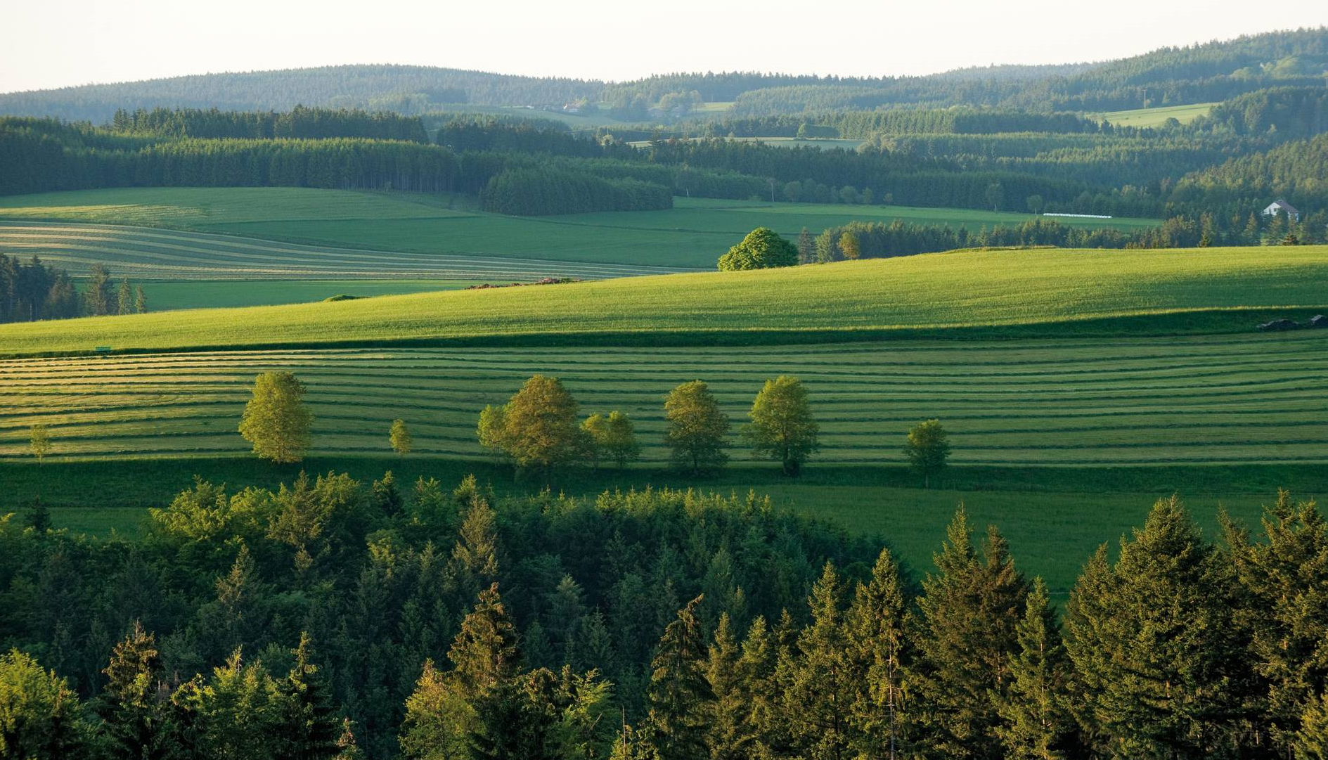
The most beautiful tours for summer and autumn – hiking paradise Franconia
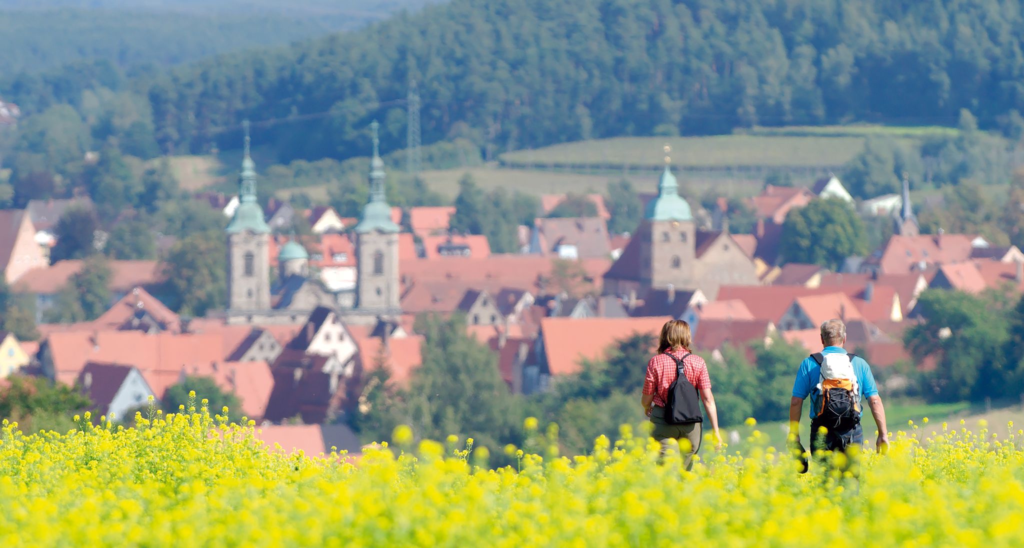
Unforgettable panoramic views — the most beautiful long-distance hikes in Franconia
Cycling around Schnelldorf
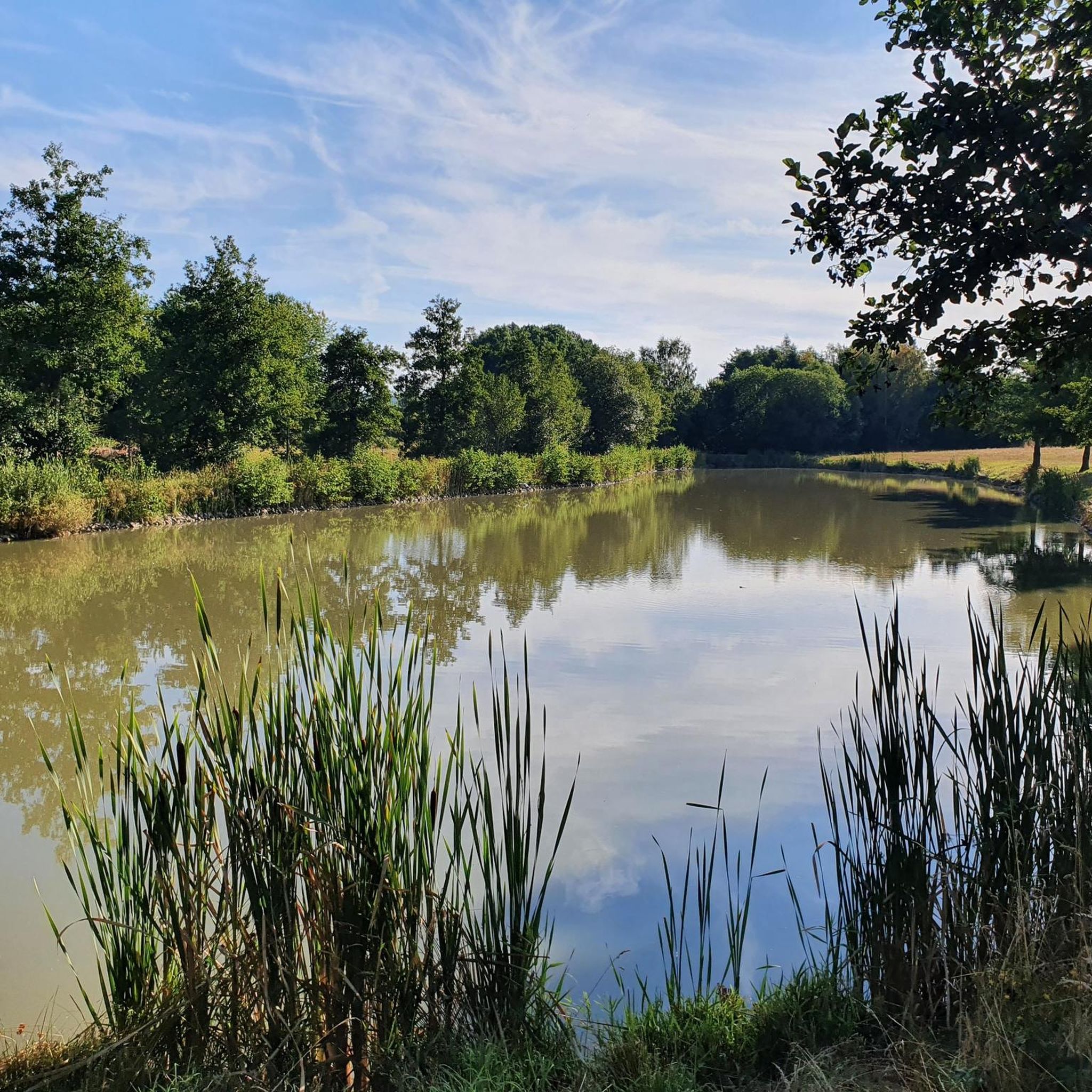
MTB Trails around Schnelldorf
Running Trails around Schnelldorf
Gravel biking around Schnelldorf
Road Cycling Routes around Schnelldorf

Tips from the Community

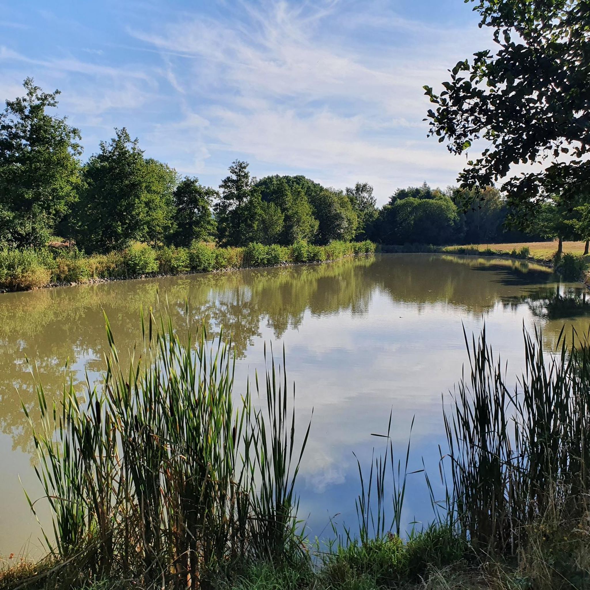
A nice place to take a break and relax a bit. In warm weather, you can also cool off in the lake.
0
0

Good starting point for hikes, 6 cars can be parked here
0
0

Attention watershed diversion
0
0

Not far from the Schnelldorf train station, the railway line can be crossed here, at the same time you walk for a few meters exactly above the Ampfrach, which also crosses the railway line here. The Ampfrach is almost 11 km long, which rises about 1 km west of the outskirts of Schnelldorf-Grimmschwanden north of the Simonsberg and flows into the Wörnitz from the right and east-northeast across from Feuchtwangen-Reichenbach north of the bridge of state road 1066.
1
0
Protected area number NSG-00564.01 The nature reserve was designated as "Ampfrachsee" in 1982 with a size of 36.05 hectares! The flood retention basin Schnelldorf "Ampfrachsee" was put into operation in 1988. The protected area includes the open water areas and islands of the lake as well as its still further developing silting up communities with reed beds, tall herb meadows and woody stands, as well as the surrounding extensive wet grassland and other meadow areas. protection purpose: (1) to protect the retention basin with its silting up areas and wet biotope complexes as a habitat for a species-rich flora and fauna, (2) to ensure the development of an important breeding, moulting, feeding and resting place for numerous rare and partly endangered bird species and to keep disturbances away, (3) to protect all of the aquatic and wetland-related flora and fauna, in particular endangered species, (4) to ensure a species-protection-oriented development of the biotope mosaic of open water areas, typical silting-up zones with reed beds, sedge reeds, fallow areas, woody stands typical of alluvial plains and extensive grassland, (5) to secure the site conditions necessary for the maintenance and development of the communities mentioned in (4), in particular the soil conditions and the water balance. It is forbidden: • enter the site outside of the paths and embankment; • to navigate the water with watercraft or floats of any kind; • to bathe; • to camp or camp, • to let dogs run free; • Disturbing animals at their nesting, breeding, dwelling and refuge sites by visiting, recording audio, photographing or similar acts; The nature reserve can be circumnavigated on the hiking trail "Fischweg - Schnelldorf" (fish symbol)! Length approx. 3.5 km.
0
0

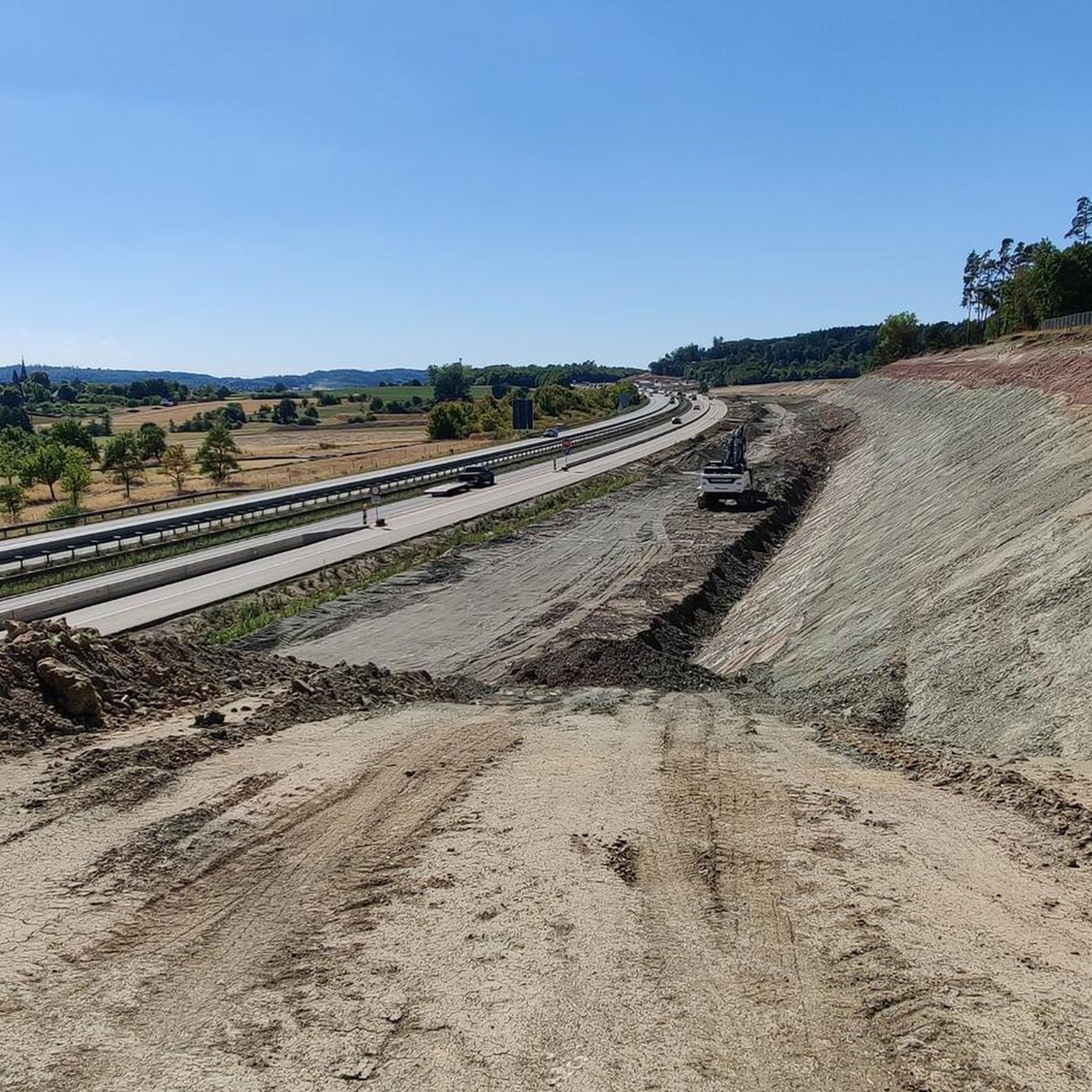
Beautiful lake, unfortunately very close to the highway. The hiking trails are gravel and rolled. Easy to walk but a harder ground.
0
0

According to legend, it was used as a hiding place from the Croats during the Thirty Years' War.
0
0

no extreme inclines, peace and quiet and lots of nature
0
0
Frequently Asked Questions
How many hiking trails are available around Schnelldorf?
Schnelldorf offers a wide variety of hiking experiences, with over 45 trails to explore. These routes cater to different preferences, ranging from easy strolls to more challenging day hikes.
What kind of landscapes can I expect while hiking around Schnelldorf?
The region around Schnelldorf is characterized by gently rolling hills, rich forests, expansive meadows, and meandering streams. You'll find diverse ecosystems as the area lies along the European main watershed and is part of the tranquil Frankenhöhe Nature Park. Notable features include the deciduous Kapellwald with its deeply cut streambeds and the Stepped Edge Bay, offering views of the Hohenlohe Plain.
Are there family-friendly hiking options in Schnelldorf?
Yes, Schnelldorf offers numerous family-friendly hiking options. Many trails feature gentle terrain suitable for all ages. For example, the Frankenhöhe Nature Park loop from Ampfrachsee is an easy 4.1-mile trail that takes less than two hours to complete, perfect for a family outing.
Are there many circular hiking routes available in Schnelldorf?
Yes, many of the trails in Schnelldorf are designed as circular routes, allowing you to start and end at the same point. Examples include the Swimming Pond in Wildenholz – Erlensee Schnelldorf loop and the Erlensee Schnelldorf loop from Theuerbronn, which offers varied landscapes.
What interesting sights or landmarks can I explore near the hiking trails?
While hiking, you can discover several interesting natural and historical landmarks. Consider visiting the Source of the Tauber, exploring the Teufelsklinge gorge, or seeing the Enchanted Forest Fichtenau. For historical interest, the area also features castles like Schillingsfürst and Wildenstein Castle.
Can I bring my dog on the hiking trails in Schnelldorf?
Generally, dogs are welcome on hiking trails in Schnelldorf. It's always recommended to keep your dog on a leash, especially in nature protection areas or when passing through agricultural land, to ensure the safety and comfort of wildlife and other hikers.
Where can I find parking for hiking trails in Schnelldorf?
Many trailheads in Schnelldorf offer designated parking areas. For instance, routes like the Swimming Pond in Wildenholz – Erlensee Schnelldorf loop and the Erlensee Schnelldorf loop start from the Wanderparkplatz Birkenberg an der St2222, providing convenient access.
Is it possible to reach hiking trails in Schnelldorf using public transport?
Yes, some hiking opportunities in the broader Schnelldorf area, particularly those within the Frankenhöhe Nature Park, offer convenient train connections at their start and end points. It's advisable to check local public transport schedules for specific trail access points.
What do other hikers enjoy most about hiking in Schnelldorf?
The hiking trails in Schnelldorf are highly rated by the komoot community, with an average score of 4.6 stars from over 90 reviews. Hikers frequently praise the diverse terrain, from rolling hills and dense forests to open meadows, and the well-maintained paths that often follow streams or offer scenic views across the European main watershed.
Are there any trails that feature water elements like ponds or lakes?
Yes, several trails incorporate water features. The Swimming Pond in Wildenholz – Erlensee Schnelldorf loop is a popular easy path that features water elements, offering a refreshing aspect to your hike.
What is the best time of year to go hiking in Schnelldorf?
Schnelldorf offers enjoyable hiking experiences throughout much of the year. Spring brings blooming meadows, summer provides lush green forests, and autumn showcases vibrant foliage. Even in winter, the gently rolling terrain can be beautiful for a crisp walk, though conditions may vary.
Are there any challenging hikes for experienced hikers?
While many trails are easy to moderate, Schnelldorf also offers options for more experienced hikers. The region includes trails that are rated as difficult, such as the 11.1-mile Fledermausquartier Hirschwirts-Keller Loop in Geopark Schwäbische Alb, providing a more strenuous challenge.
Most popular routes around Schnelldorf
Most popular attractions around Schnelldorf

Get inspired with the komoot mobile app


Explore more
Browse the best Hikes in other regions.
