The best road cycling routes around Montesano Sulla Marcellana
4.8
(29)
819
riders
52
rides
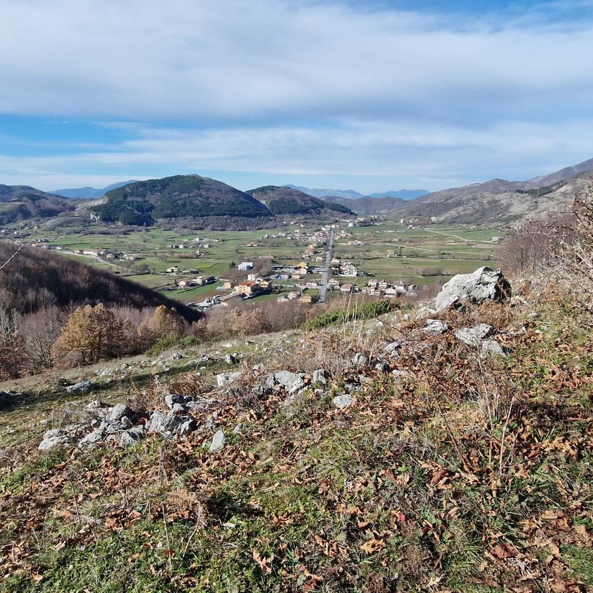
Road cycling around Montesano Sulla Marcellana, situated at 850 meters above sea level, offers expansive panoramic views of the Vallo di Diano and Basilicata mountains. The region is characterized by the Apennine chain of the Maddalena mountains, providing a consistently hilly and mountainous cycling experience with significant elevation changes. Cyclists will find routes winding through rich woods and past natural springs, set within the Cilento, Vallo di Diano and Alburni National Park. The terrain includes challenging climbs and exhilarating descents.
…Last updated: July 4, 2026
5.0
(13)
54
riders
Moderate road ride. Good fitness required. Some segments of this route may be unpaved and difficult to ride.
19
riders
Moderate road ride. Good fitness required. Mostly well-paved surfaces and easy to ride.

Sign up for free
17
riders
86.6km
04:36
1,670m
1,670m
Hard road ride. Very good fitness required. Mostly well-paved surfaces and easy to ride.
17
riders
87.6km
04:18
1,200m
1,200m
Hard road ride. Very good fitness required. Some segments of this route may be unpaved and difficult to ride.
16
riders
37.5km
01:47
400m
400m
Moderate road ride. Good fitness required. Mostly well-paved surfaces and easy to ride.
Get access to more routes and recommendations from other explorers.
Sign up for free
Already have an account?
Our route recommendations are based on thousands of hikes, rides, and runs completed by other people on komoot.
Start today with a free account
Your next adventure awaits.
Login or Signup
Tips from the Community

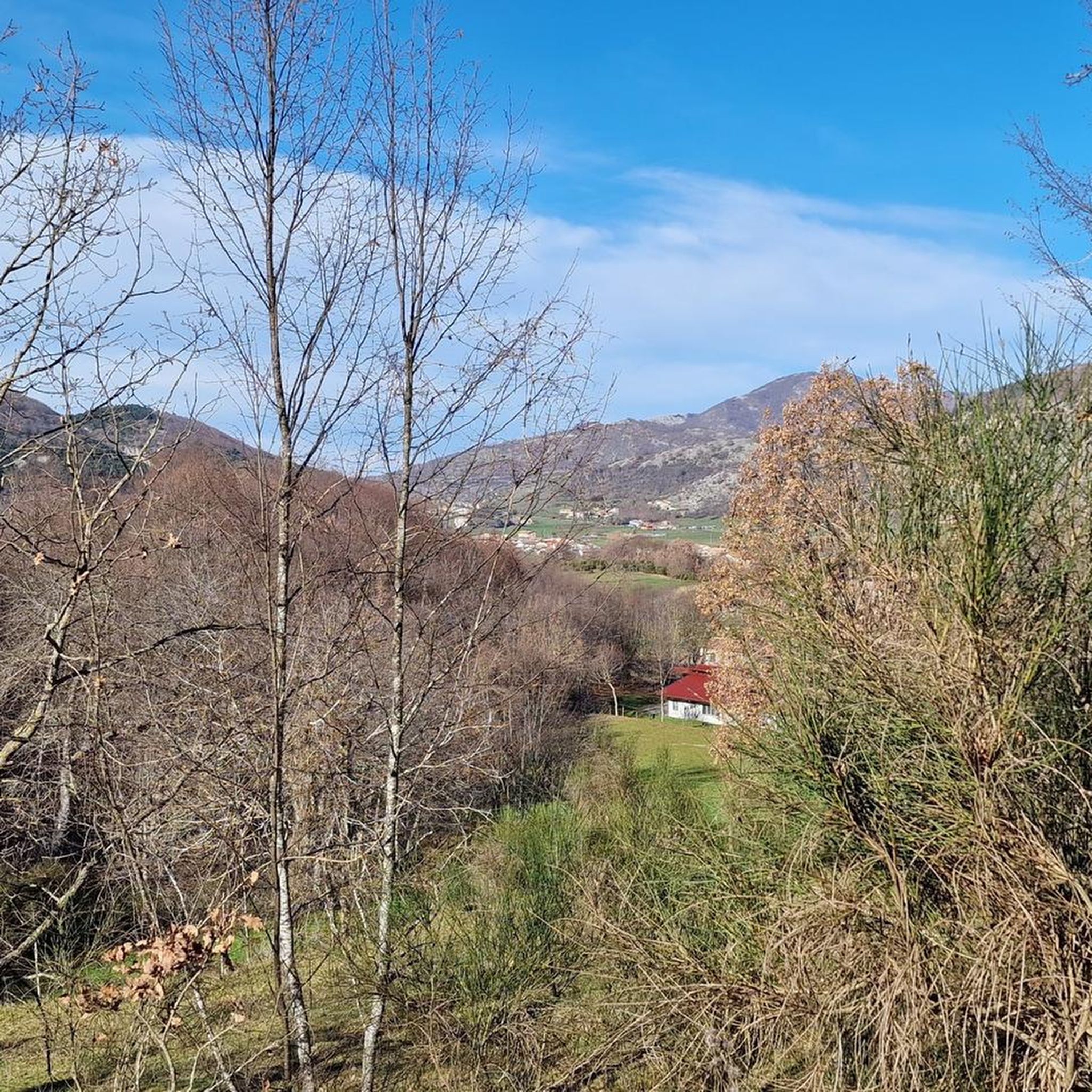
Rifugio Motola is a historic structure nestled in the greenery of the Cilento, Vallo di Diano and Alburni National Park. Main features Origin: Built in 1950 as a barracks for the Forestry Corps. Altitude: Located at 1043 meters above sea level. Panorama: View of the Sella del Corticato and Monte Cocuzzo delle Puglie (1428m). Beds: 8 beds available inside the structure by contacting the managing association. Camping: Possibility to stay overnight outside in a tent.
0
0

It's the starting point for several trails on Mount Motola and Mount Vivo. It's located along the "Sentiero Italia," which, as its name suggests, crosses the entire peninsula. Interestingly, the refuge is easily accessible by car; there's parking 50 meters before the refuge, just as the dirt road begins.
1
0

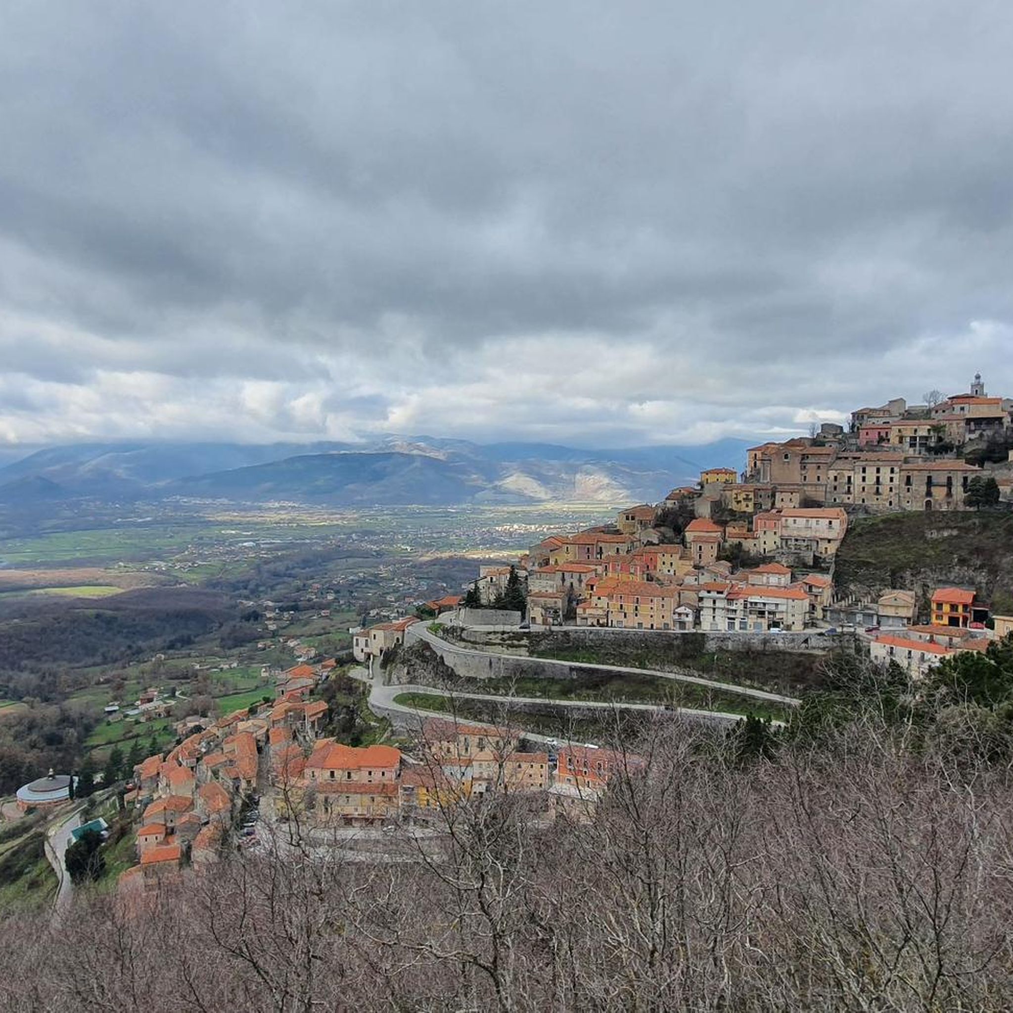
Sacco is a small town nestled on the slopes of Mount Motola, just steps from the Sammaro Gorges. The municipality recently opened a rest area for those traveling by bicycle, on foot, or in a camper. The village is truly charming, and the rest area is very convenient!
1
0


It is the place of spirit, art, culture and silence.
0
0


I'd say it's one of the most beautiful roads in Italy. The descent towards Teggiano is breathtaking.
0
0

Amazing place along the silent road, worth a break
0
0
Frequently Asked Questions
What kind of terrain can I expect when road cycling around Montesano Sulla Marcellana?
Montesano Sulla Marcellana is situated in the Apennine chain of the Maddalena mountains, offering a consistently hilly and mountainous cycling experience. You'll encounter significant elevation changes, with routes winding through extensive woods, past natural springs, and across plateaus ranging from 900 to 1200 meters. The region provides diverse landscapes, from lush forests to panoramic views over the Vallo di Diano and Basilicata mountains.
Are there road cycling routes suitable for beginners or those looking for an easier ride?
Yes, while the region is known for its challenging terrain, there are routes suitable for different fitness levels. You can find moderate routes that offer steady climbs and scenic views without extreme difficulty. For example, the Baptistery of St John – Bridge Over the Tanagro River loop from Montesano-Buonabitacolo is a moderate 81.5 km ride with around 340 meters of elevation gain, making it a good option for those seeking a less strenuous experience.
What are some challenging road cycling routes for experienced cyclists?
For experienced cyclists seeking a challenge, Montesano Sulla Marcellana offers several difficult routes with significant elevation gains. The View of Rofrano – Castel Ruggero loop from Montesano-Buonabitacolo is a demanding 86.1 km trail with over 1,600 meters of elevation gain. Another difficult option is the Padula Charterhouse – Capelli di Venere Waterfalls loop from Casalbuono, which covers 87.7 km with over 1,550 meters of climbing.
What natural attractions or landmarks can I see along the road cycling routes?
Many routes offer opportunities to see significant natural and historical landmarks. You might pass by the stunning Capelli di Venere Waterfalls or the historic Padula Charterhouse. The Baptistery of St John is another notable religious building you might encounter. The region is also part of the Cilento and Vallo di Diano National Park, offering lush forests and panoramic viewpoints.
What do other road cyclists enjoy most about cycling in Montesano Sulla Marcellana?
The area is highly rated by the komoot community, with an average score of 4.0 stars from over 20 reviews. Cyclists frequently praise the expansive panoramic views of the Vallo di Diano and Basilicata mountains, the challenging climbs, and the immersive experience of riding through extensive woods and past natural springs within the Cilento, Vallo di Diano and Alburni National Park.
Are there any circular road cycling routes available?
Yes, many of the road cycling routes around Montesano Sulla Marcellana are designed as loops, allowing you to start and finish in the same location. Examples include the Baptistery of St John – Bridge Over the Tanagro River loop and the View of Marsico Nuovo – Mariscovetere loop, providing convenient options for your ride.
What is the best time of year for road cycling in Montesano Sulla Marcellana?
Given its mountainous terrain and elevation, spring and autumn generally offer the most pleasant conditions for road cycling, with milder temperatures and beautiful scenery. Summer can be warm, especially at lower elevations, but the higher plateaus and forested areas might provide some relief. Winters can be cold and potentially snowy at higher altitudes, making cycling more challenging.
Is Montesano Sulla Marcellana part of a national park?
Yes, Montesano Sulla Marcellana is located within the Cilento, Vallo di Diano and Alburni National Park, which is also a UNESCO World Heritage Site. This designation highlights the region's exceptional natural beauty and protected status, ensuring a pristine environment for outdoor activities like road cycling.
Are there any shorter road cycling routes for a quick ride?
For a shorter ride, consider the Bridge Over the Tanagro River – Certosa di Padula loop from Buonabitacolo. This moderate route is approximately 38.6 km long with about 390 meters of elevation gain, making it a good option for a quicker outing while still enjoying the regional scenery.
What kind of views can I expect on the road cycling routes?
The routes offer breathtaking panoramic views, particularly overlooking the entire Vallo di Diano and extending to the Basilicata mountains. As you cycle through varying altitudes, from the town center at 850 meters to plateaus reaching 1200 meters, you'll be treated to expansive vistas of lush forests, valleys, and the surrounding mountainous landscape.
Are there any specific historical sites to visit near the cycling routes?
Absolutely. The region is rich in history. The magnificent Padula Charterhouse (Certosa di Padula), a UNESCO World Heritage site, is a prominent historical landmark that some routes pass by or near. Another significant historical and religious site is the Baptistery of St John.
Most popular routes around Montesano Sulla Marcellana
Most popular attractions around Montesano Sulla Marcellana

Get inspired with the komoot mobile app


Explore more
Browse the best Road cycling routes in other regions.
