The best walks and hikes around Wiesensteig
4.6
(3961)
13,453
hikers
109
hikes
Hiking around Wiesensteig offers diverse landscapes within the Swabian Alb region, characterized by its unique geology and varied terrain. The area features the Filsursprung, the source of the Fils river, and the surrounding Fils Valley. Trails often traverse ancient rock formations, geological windows, mountain meadows, and forests. This combination provides a range of environments for outdoor exploration.
Best hiking trails around Wiesensteig
- The most popular hiking route is Löwenpfad "Filsursprung-Runde“, a 9.1 miles (14.7 km) trail that takes about…
Last updated: October 7, 2026
4.7
(770)
2,613
hikers
14.7km
04:09
320m
320m
Moderate hike. Good fitness required. Easily-accessible paths. Suitable for all skill levels.
4.7
(881)
2,812
hikers
Hard hike. Very good fitness required. Easily-accessible paths. Suitable for all skill levels.

4.8
(142)
457
hikers
Moderate hike. Good fitness required. Easily-accessible paths. Suitable for all skill levels.
4.7
(111)
360
hikers
9.81km
02:47
220m
220m
Moderate hike. Good fitness required. Easily-accessible paths. Suitable for all skill levels.
4.6
(34)
119
hikers
Moderate hike. Good fitness required. Mostly accessible paths. Sure-footedness required.
Get access to more routes and recommendations from other explorers.
Already have an account?
Our route recommendations are based on thousands of hikes, rides, and runs completed by other people on komoot.
Start today with a free account
Your next adventure awaits.
Popular around Wiesensteig
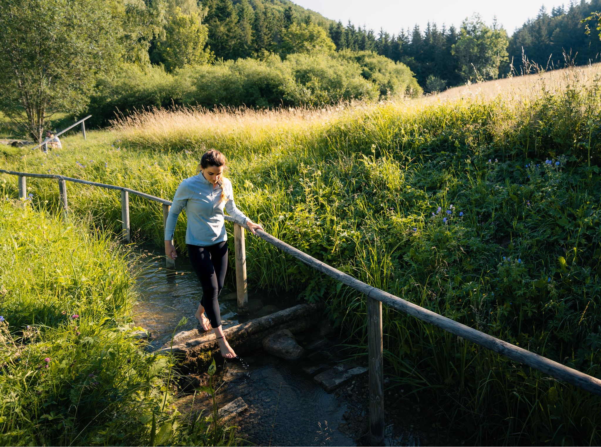
Hiking on the Swabian Alb with all your senses
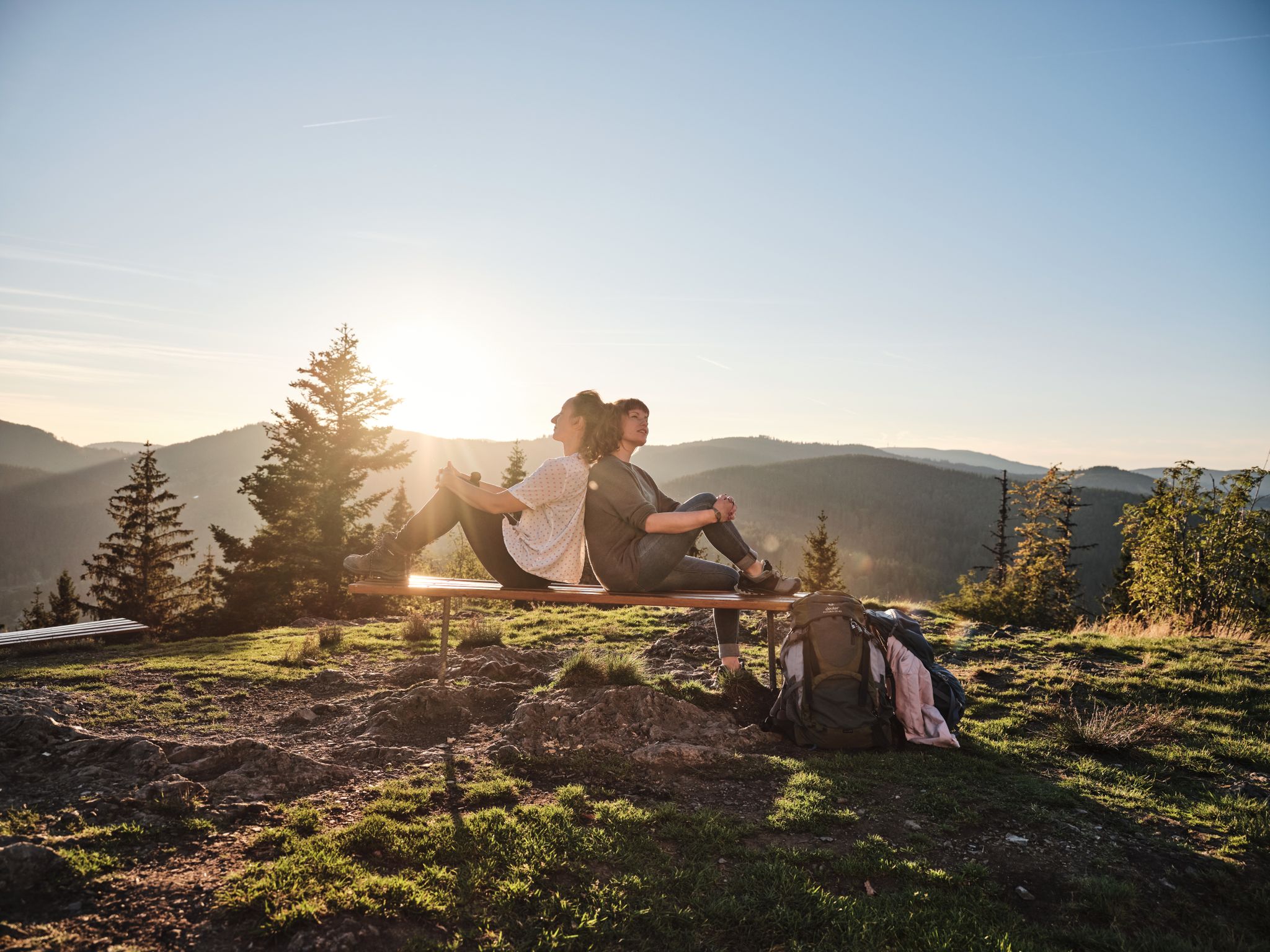
Hiking the Süden – between Black Forest, Lake Constance and Swabian Alb
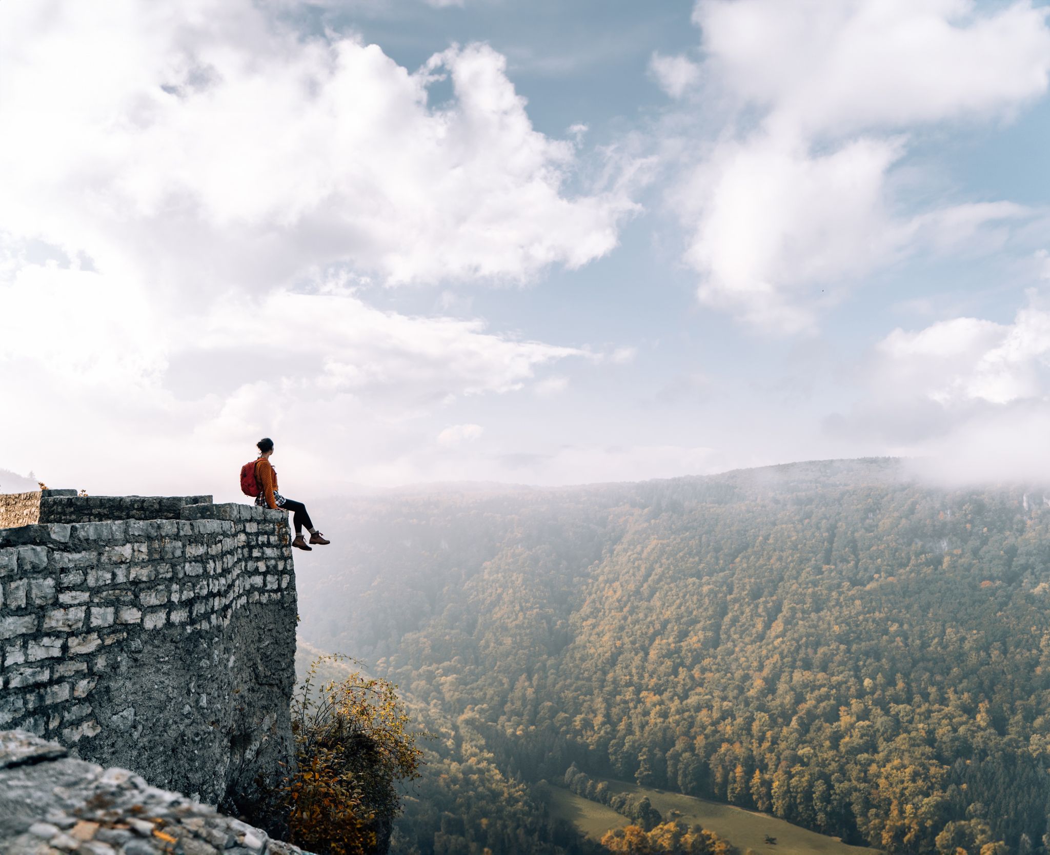
Fairytale hiking to the castles and palaces of the Swabian Alb
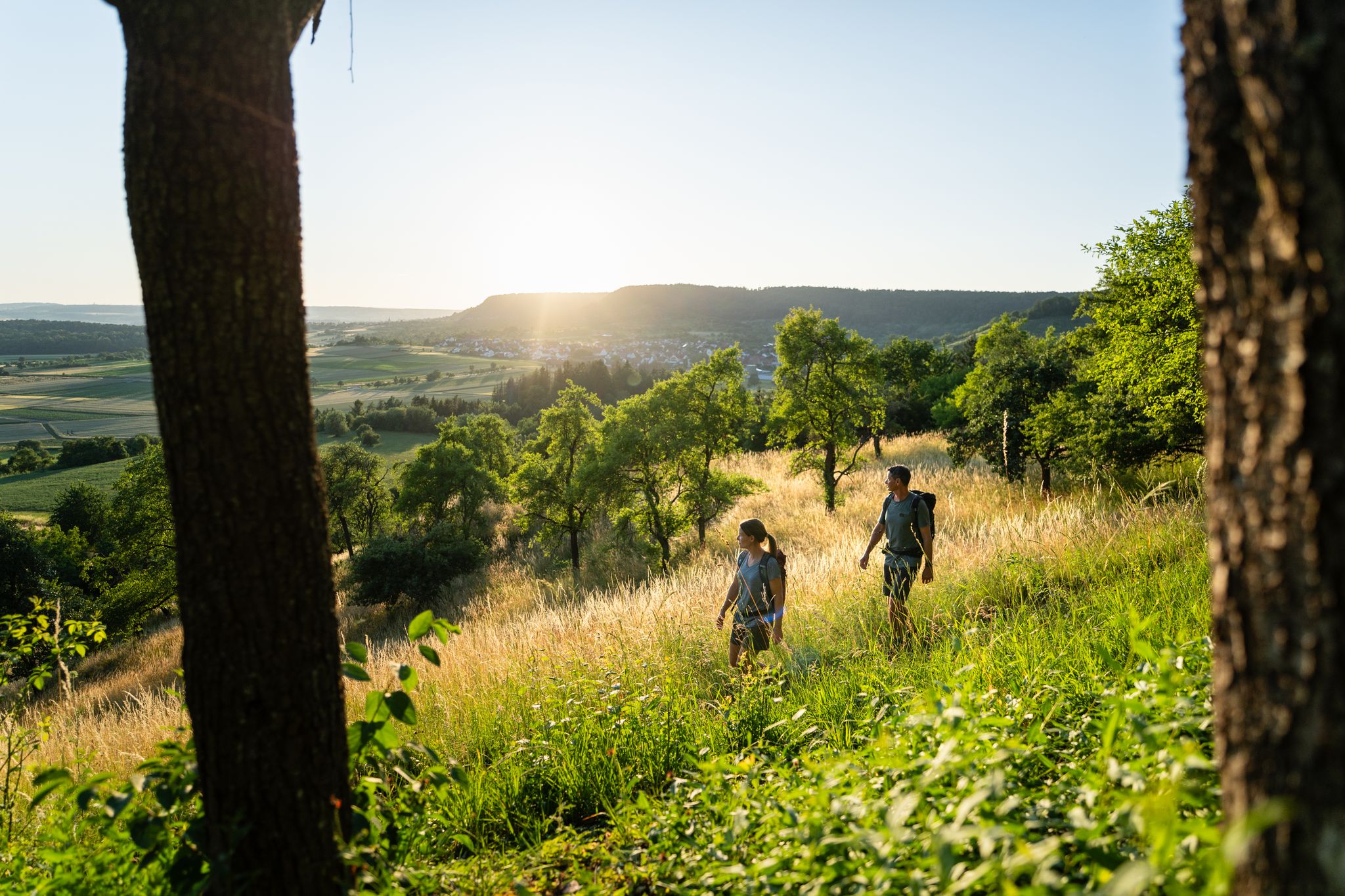
6 Long-Distance Hikes for Your Escape to the Swabian Alb
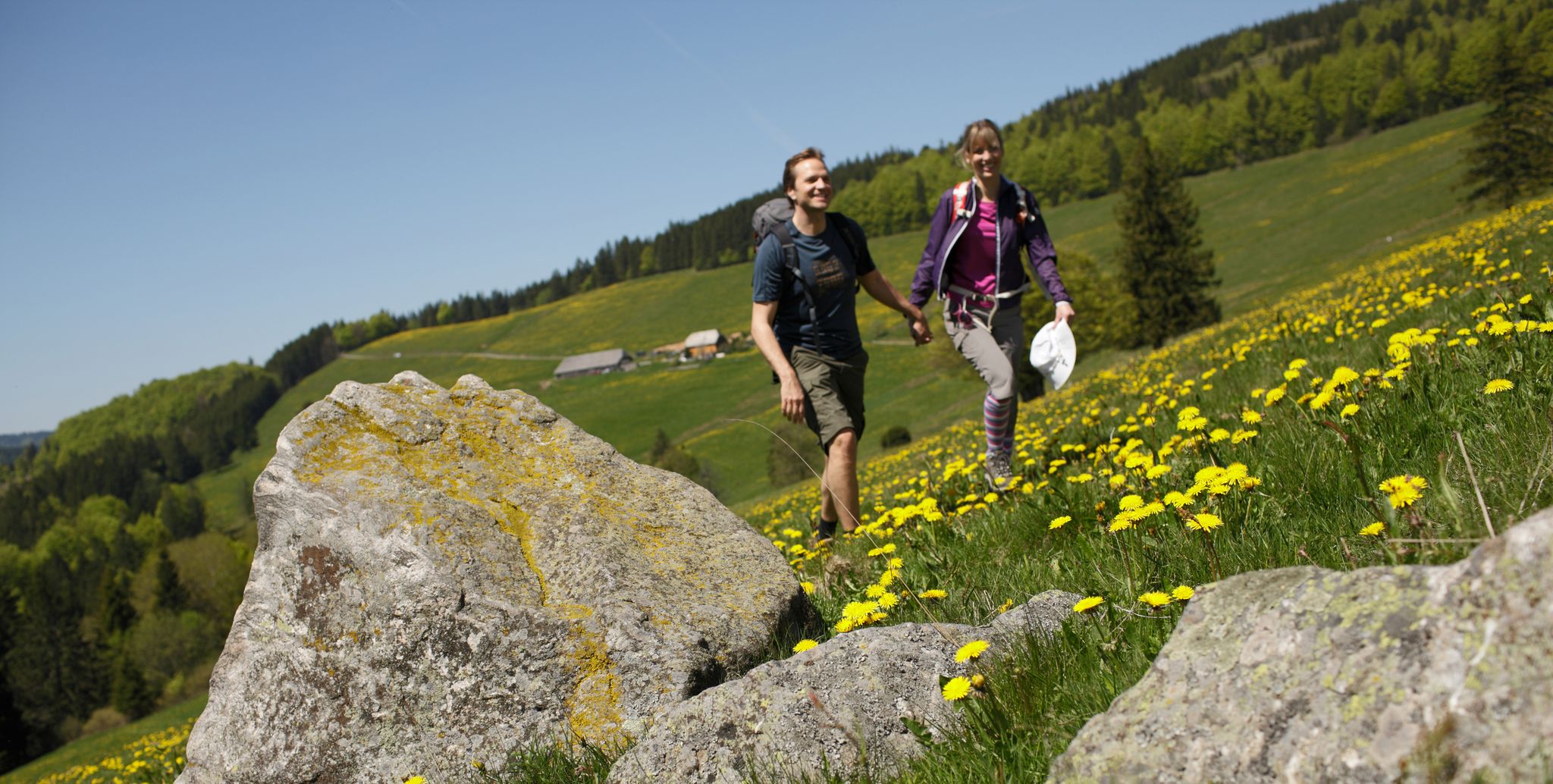
Spring in Germany’s Southwest – where hiking is best!

Discover premium and quality long-distance hiking in southern Germany
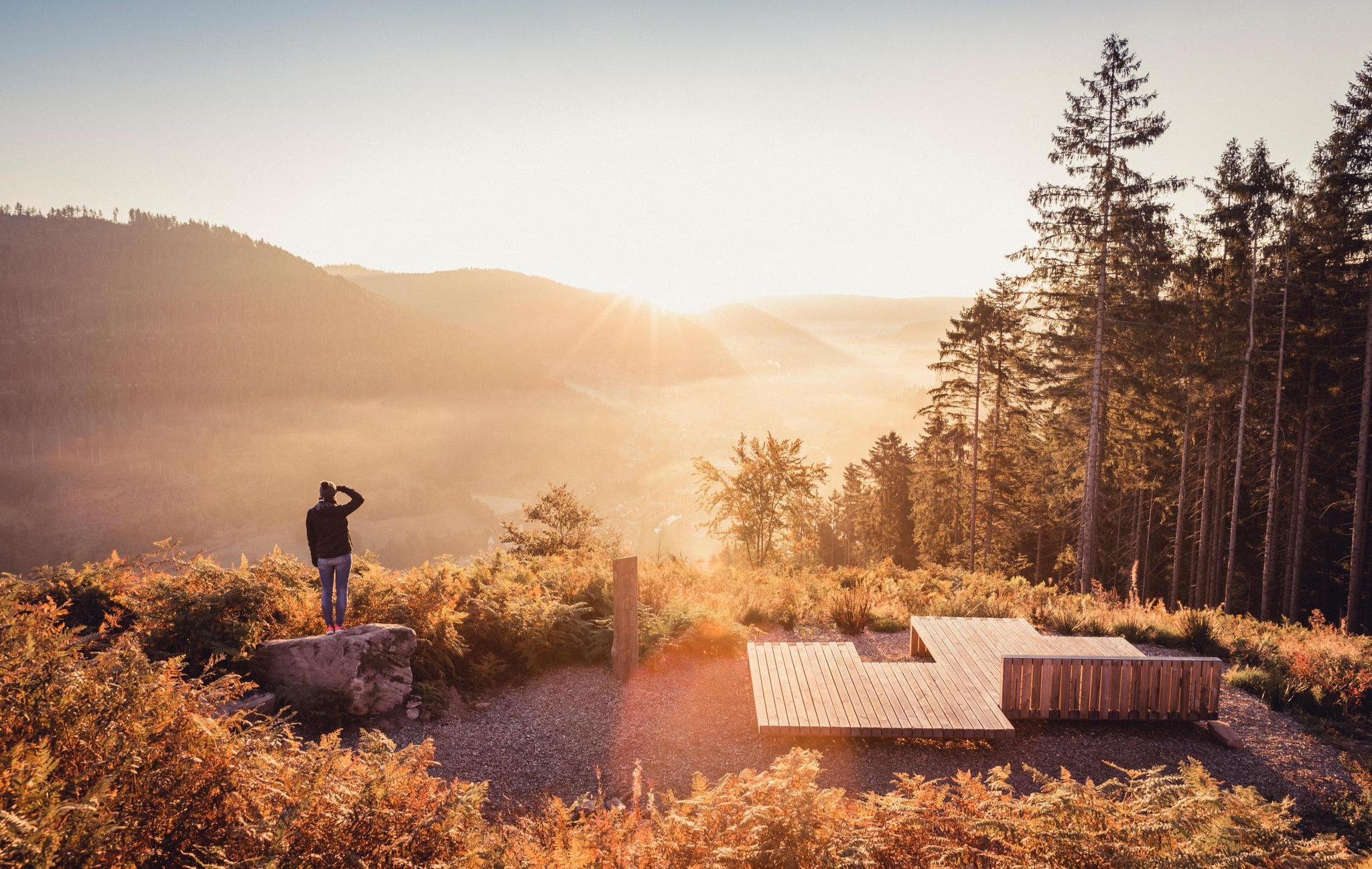
Autumn magic in the southwest – vibrant hiking in Baden-Württemberg
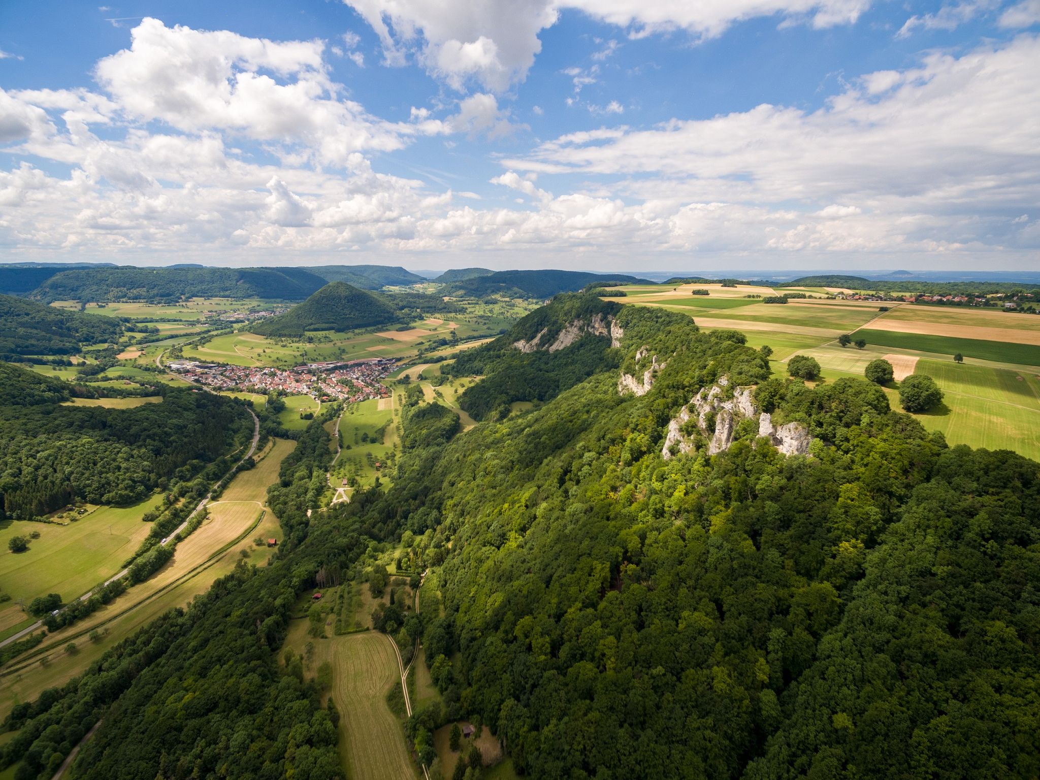
Fantastic ridge views – hiking on the Albtraufgaenger
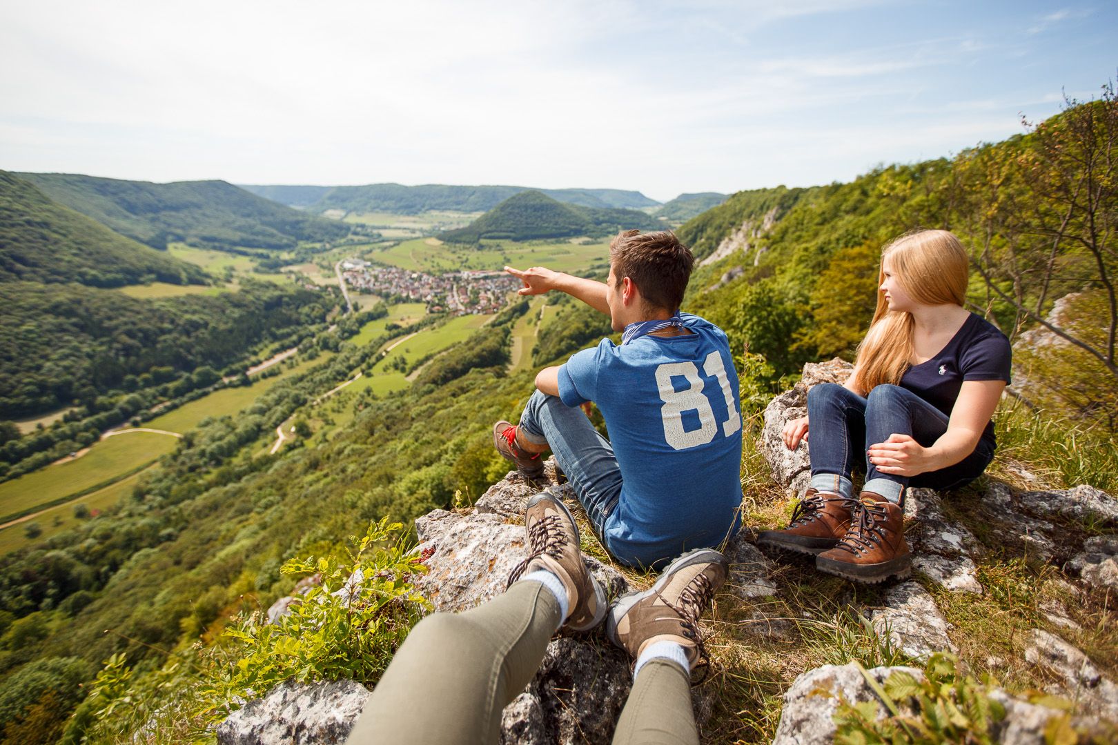
Lion Trails in the Swabian Alb – 16 Tours around Göppingen
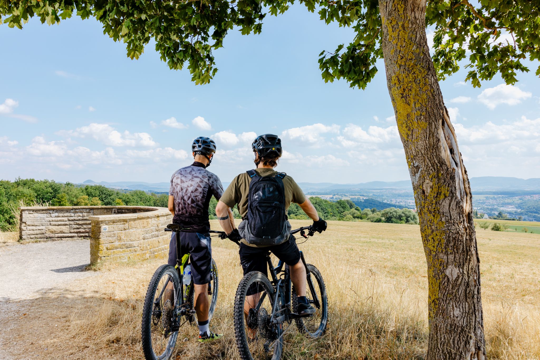
Up, down, Albwards! MTB adventures on the Schwäbische Alb
Other adventures around Wiesensteig


Tips from the Community

Hiking parking lot
0
0

The Graue Stein (Grey Stone) near Wiesensteig is an extraordinary collection of large limestone blocks, known for centuries as an imposing natural path and boundary marker. These boulders lie along an old hollow way, where a steep ascent from the Fils valley to the Swabian Jura plateau leads through a small rock gorge. Shortly after this bottleneck, the terrain opens up to a wide valley floor with gentle slopes, on which the mighty erratic boulders are scattered.
7
0

Really beautiful valley, it's really fun to cycle next to the young, small Fils.
0
0

Great photo spot for Reußenstein!
2
0
A real highlight in winter, with plenty of icicles.
4
1

A few more steps to the cave. There is also food and drink at the top.
0
0
Beautiful path to the source of the Fils River. About a 1 km walk from the parking lot.
1
0

It is not for nothing that it is one of the most visited castles in the Alb.
0
0
Frequently Asked Questions
How many hiking trails are available around Wiesensteig?
There are over 100 hiking trails around Wiesensteig, offering a wide range of options for different skill levels. You'll find everything from easy strolls to more challenging routes through the Swabian Alb.
Are there easy hiking trails suitable for beginners or families in Wiesensteig?
Yes, Wiesensteig offers many easy hiking trails perfect for beginners or families. Nearly half of the routes, around 49, are classified as easy. These often feature minimal elevation gain and can be completed in less than two hours, allowing for a relaxed outdoor experience.
What kind of natural features can I expect to see on hikes around Wiesensteig?
Hiking around Wiesensteig immerses you in the diverse landscapes of the Swabian Alb. You can explore the Filsursprung, the source of the Fils river, and its surrounding valley. The region is also known for its unique geology, including ancient rock formations and 'geological windows' visible along trails like the Wiesensteiger Geopfad. Expect panoramic views, mountain meadows, and dense forests.
Are there any circular hiking routes in Wiesensteig?
Yes, many of the trails around Wiesensteig are circular routes, perfect for day trips. For example, the Young Fils – Source of the Fils loop from Wiesensteig is a moderate 9.8 km (6.1 miles) trail that takes about 2 hours 47 minutes, leading you through the early course of the Fils river.
What are some notable landmarks or viewpoints along the hiking trails?
Hikers can enjoy stunning panoramic views, such as those of the Neidlingen Valley and Reußenstein Castle. A challenging route like the View of Neidlingen Valley – View of Reußenstein Castle loop from Wiesensteig specifically highlights these vistas. The region's geological history is also a landmark in itself, with trails showcasing millennia-old rock formations.
Are there any hikes that feature waterfalls near Wiesensteig?
Yes, the region around Wiesensteig features beautiful waterfalls. You can find the Neidlingen Waterfall, which is part of routes like the Neidlingen Waterfall – Reußenstein Castle Ruins loop from Unter dem Burz. Other notable water features include the Autal Waterfall and the Zipfelbach Gorge (Zipfelbachschlucht).
What is the best season for hiking in Wiesensteig?
Wiesensteig offers great hiking opportunities throughout the year. Spring and autumn provide pleasant temperatures and vibrant natural colors, while summer is ideal for longer days on the trails. Even winter can be beautiful for hiking, though some trails might require more suitable footwear due to potential snow or ice.
What do other hikers enjoy most about the trails in Wiesensteig?
The hiking trails in Wiesensteig are highly rated by the komoot community, with an average score of 4.6 stars from over 3,300 reviews. Hikers often praise the diverse landscapes, the well-maintained paths, and the stunning views of the Swabian Alb, especially around natural features like the Filsursprung and Reußenstein Castle.
Are there any challenging hikes for experienced trekkers?
Absolutely. While there are many easy and moderate routes, Wiesensteig also offers challenging hikes for experienced trekkers. These routes can exceed five hours in duration and feature significant elevation gains, requiring very good fitness and sure-footedness. An example is the View of Neidlingen Valley – View of Reußenstein Castle loop from Wiesensteig, which is classified as difficult.
Can I find hikes that explore the geological history of the region?
Yes, the Wiesensteiger Geopfad is specifically designed for this. This trail leads hikers along the Sommerberg to 'geological windows' where millennia-old rock formations are visible. Information boards along the path explain the Fils Valley's history, the interaction of water and rock, and local caves, offering deep insights into the area's geological past.
Are there any specific trails that highlight the Fils river?
The Fils river is a central feature of the region. The Löwenpfad "Filsursprung-Runde“ is a moderate 14.7 km (9.1 miles) loop trail that offers a scenic experience around the source of the Fils. Another option is the Young Fils – Source of the Fils loop from Wiesensteig, which explores the river's early course.
Are there options for shorter walks or longer day hikes?
Wiesensteig caters to both. You can find shorter, easily accessible routes that take less than two hours, perfect for a quick stroll. For those seeking a full day out, there are longer routes exceeding five hours and covering significant distances, such as the Löwenpfad "Filsursprung-Runde“, which is nearly 15 km long.
Most popular routes around Wiesensteig
Most popular attractions around Wiesensteig

Get inspired with the komoot mobile app


Explore more
Browse the best Hikes in other regions.
