The best MTB trails around Sant'Andrea Del Garigliano
4.6
(19)
144
riders
29
rides
Mountain bike trails Sant'Andrea Del Garigliano traverse a region characterized by diverse landscapes, abundant greenery, and the prominent Garigliano Valley. The area features rocky spurs overlooking the Garigliano River, providing varied terrain for mountain biking. The influence of the extinct Roccamonfina volcano contributes to a dynamic environment with hills and valleys. This combination of river valleys, volcanic terrain, and elevated positions defines the outdoor experience for mountain bikers.
Best mountain bike trails around Sant'Andrea Del Garigliano
- The most popular mountain…
Last updated: July 8, 2026
14
riders
26.1km
02:31
760m
760m
Moderate mountain bike ride. Good fitness required. Suitable for all skill levels.
5.0
(1)
10
riders
Moderate mountain bike ride. Good fitness required. Suitable for all skill levels.

Sign up for free
5.0
(1)
6
riders
56.6km
03:47
830m
830m
Moderate mountain bike ride. Good fitness required. Suitable for all skill levels.
4.0
(2)
12
riders
53.6km
04:13
1,120m
1,110m
Hard mountain bike ride. Very good fitness required. Advanced riding skills necessary.
3
riders
41.9km
02:56
790m
790m
Moderate mountain bike ride. Good fitness required. Suitable for all skill levels.
Get access to more routes and recommendations from other explorers.
Sign up for free
Already have an account?
Our route recommendations are based on thousands of hikes, rides, and runs completed by other people on komoot.
Start today with a free account
Your next adventure awaits.
Login or Signup
Popular around Sant'Andrea Del Garigliano
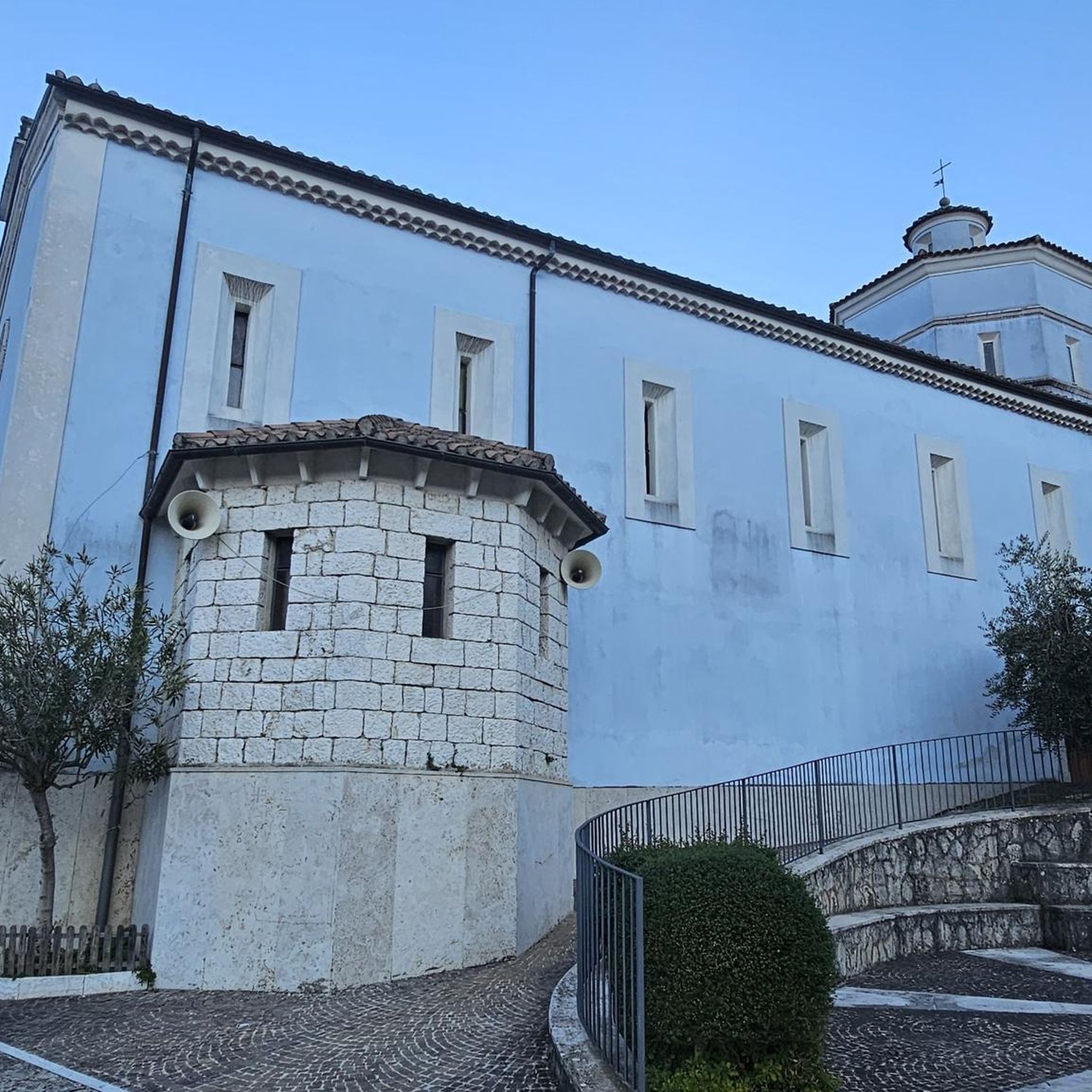
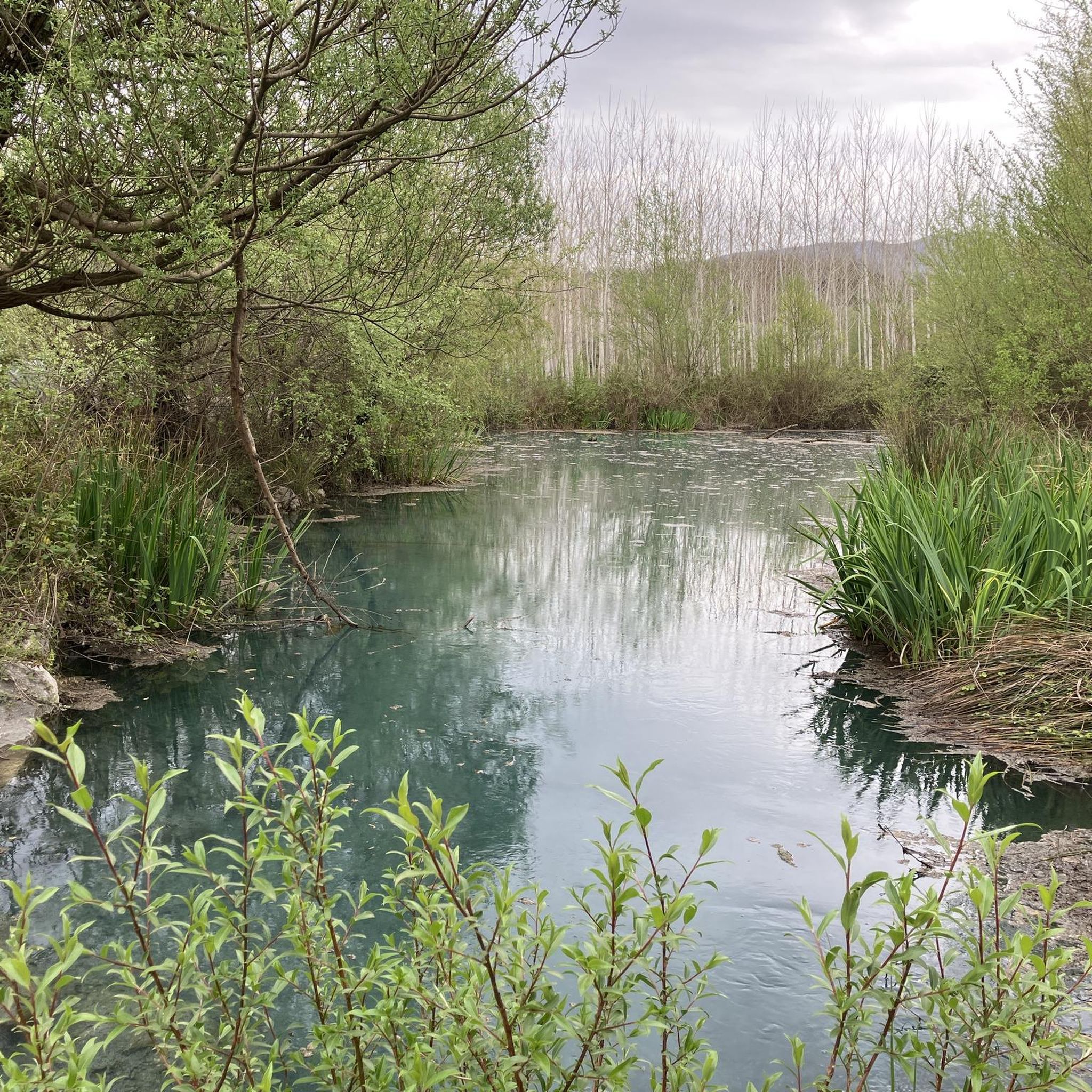
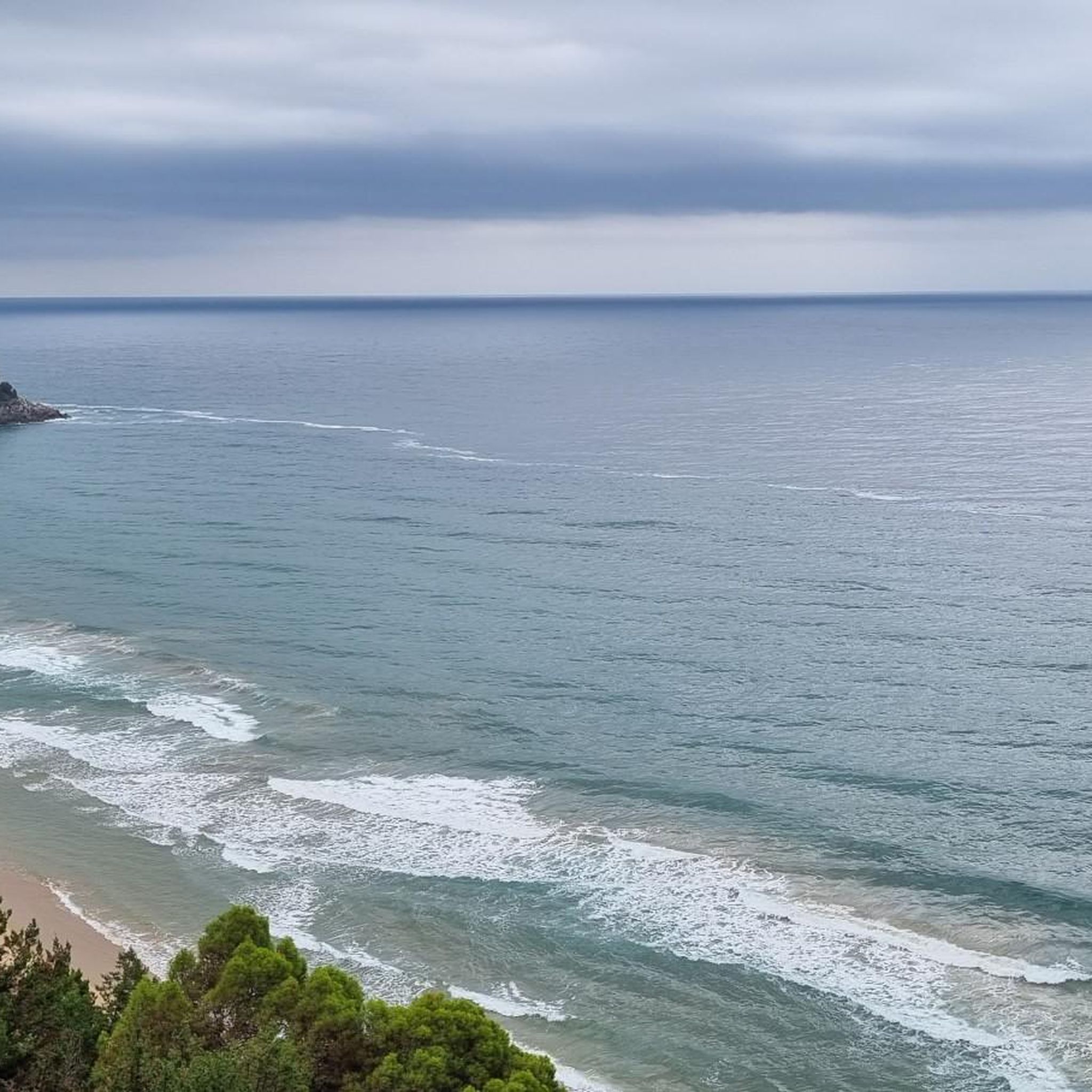
Tips from the Community

The terrain is getting worse and worse... It's still okay going downhill and always worth it... but going uphill it's really annoying (at least with a mountain bike).
0
0


Passable dam that connects the Lazio shore to the Campania shore
1
0


Short stretch of the ancient Via Francigena (Canterbury UK - Brindisi). Dirt but smooth and well maintained (used for the passage of agricultural tractors). It passes through chestnut groves. Not to be missed.
0
0

rock church of santa maria in grotte
0
0

It is also possible to arrive here by bus, often groups of scouts stop to reach their base a little further on
0
0
the famous neviere, the freezers of the past, where ice was collected and stored for the summer in winter.
0
0
Frequently Asked Questions
How many mountain bike trails are available in Sant'Andrea Del Garigliano?
There are over 20 mountain bike trails around Sant'Andrea Del Garigliano. The majority of these, 21 routes, are rated as moderate, with 2 routes considered difficult, offering a good range for various skill levels.
What is the general difficulty level of mountain biking in Sant'Andrea Del Garigliano?
The mountain bike trails in Sant'Andrea Del Garigliano are predominantly moderate, making them suitable for riders with some experience. There are also a couple of more challenging routes for advanced mountain bikers. The terrain often includes river valleys, rocky spurs, and the foothills of the Aurunci Mountains.
Are there any circular mountain bike routes in the area?
Yes, many routes in Sant'Andrea Del Garigliano are circular. For example, you can explore the Neviera di Fontanafredda – View Over the Valley loop from San Carlo, which offers panoramic views, or the Ancient Theatre of Minturno loop from Grunuovo, which combines historical sites with varied landscapes.
What natural attractions can I discover while mountain biking in Sant'Andrea Del Garigliano?
The region is rich in natural features. You can ride towards the Conca della Campania Waterfall, originating from the Rivo di Conca stream, or visit the refreshing Salomone Spring, a cold water spring ideal for a break. The Garigliano River and Valley are also central features of many routes.
Are there historical sites accessible by mountain bike in Sant'Andrea Del Garigliano?
Yes, you can combine mountain biking with historical exploration. The Ancient Theatre of Minturno loop from Grunuovo explores historical sites near the Garigliano River. Additionally, a short path leads to the ancient Orto della Regina Megalithic Walls, nestled within a forest.
What do other mountain bikers say about the trails in Sant'Andrea Del Garigliano?
The mountain bike trails in Sant'Andrea Del Garigliano are highly rated by the komoot community, with an average score of 4.6 stars from over 10 reviews. Riders often praise the diverse landscapes, the scenic views over the Garigliano Valley, and the varied terrain that keeps rides interesting.
Can I find routes that pass by the Garigliano Dam?
Yes, the Garigliano Dam Crossing – Roccamonfina Town Center loop from Grunuovo is a route that includes the Garigliano Dam as a point of interest. The dam itself is also listed as a notable highlight in the area.
Are there any mountain bike routes that offer expansive views?
Absolutely. The region, particularly the foothills of the Aurunci Mountains, offers stunning panoramic views. The Neviera di Fontanafredda – View Over the Valley loop from San Carlo is specifically highlighted for its views over the valley. The Aurunci Mountains themselves provide vistas stretching from the Gulf of Naples to the Pontine Islands.
Where can I find a longer mountain bike route for an extended ride?
For a longer ride, consider the 'Lazio regional border – Garigliano dam crossing loop,' which extends for 75.8 km with a 970-meter elevation gain. Another option from our collection is the Garigliano Dam Crossing – Roccamonfina Town Center loop from Grunuovo, covering 56.5 km.
Are there any routes that explore the local countryside?
Yes, the Bar Luciano loop from Rocca d'Evandro - San Vittore is a 44.5 km trail that leads through the local countryside, offering a good way to experience the rural charm of the region.
What is the best time of year to go mountain biking in Sant'Andrea Del Garigliano?
Sant'Andrea Del Garigliano offers diverse landscapes that can be enjoyed across different seasons. The abundant greenery and water features make it pleasant in spring and autumn. Summers can be warm, but the presence of the Garigliano River and springs like Salomone Spring can offer refreshing breaks.
Are there any routes that pass by Monte Trocchio Castle?
While there isn't a specific mountain bike route listed that directly passes through Monte Trocchio Castle, it is a notable landmark in the vicinity. You can plan a route to include a visit to this historical site as part of your mountain biking adventure.
Most popular routes around Sant'Andrea Del Garigliano
Most popular attractions around Sant'Andrea Del Garigliano

Get inspired with the komoot mobile app


Explore more
Browse the best MTB trails in other regions.
