The best walks and hikes around Sant'Andrea Del Garigliano
4.3
(5)
52
hikers
7
hikes
Hiking around Sant'Andrea Del Garigliano offers diverse landscapes characterized by the verdant Garigliano Valley and its prominent river. The region is situated on a rocky spur, providing expansive views, and features natural elements influenced by the extinct Roccamonfina volcano. Water features like the Conca della Campania Waterfall and Salomone Spring add to the varied terrain.
Best hiking trails around Sant'Andrea Del Garigliano
- The most popular hiking route is From Coreno Ausonio to Monte Maio - ring tour, a 8.1…
Last updated: July 2, 2026
5.0
(1)
11
hikers
8.01km
03:10
620m
620m
Embark on the Selvacava-Monte Fammera Trail, a moderate hike that takes you through varied landscapes, from wooded sections to exposed, rocky terrain. You will follow an ancient mule track, winding…
1
hikers
13.1km
04:21
630m
630m
Embark on a moderate hiking experience from Coreno Ausonio, a ring tour that spans 8.1 miles (13.1 km) with an elevation gain of 2075 feet (633 metres), typically taking around…

Sign up for free
1
hikers
15.5km
04:12
220m
220m
Moderate hike. Good fitness required. Easily-accessible paths. Suitable for all skill levels.
3.5
(4)
22
hikers
4.49km
01:33
250m
250m
Easy hike. Great for any fitness level. Easily-accessible paths. Suitable for all skill levels.
9
hikers
Moderate hike. Good fitness required. Easily-accessible paths. Suitable for all skill levels.
Get access to more routes and recommendations from other explorers.
Sign up for free
Already have an account?
Our route recommendations are based on thousands of hikes, rides, and runs completed by other people on komoot.
Start today with a free account
Your next adventure awaits.
Login or Signup
Popular around Sant'Andrea Del Garigliano
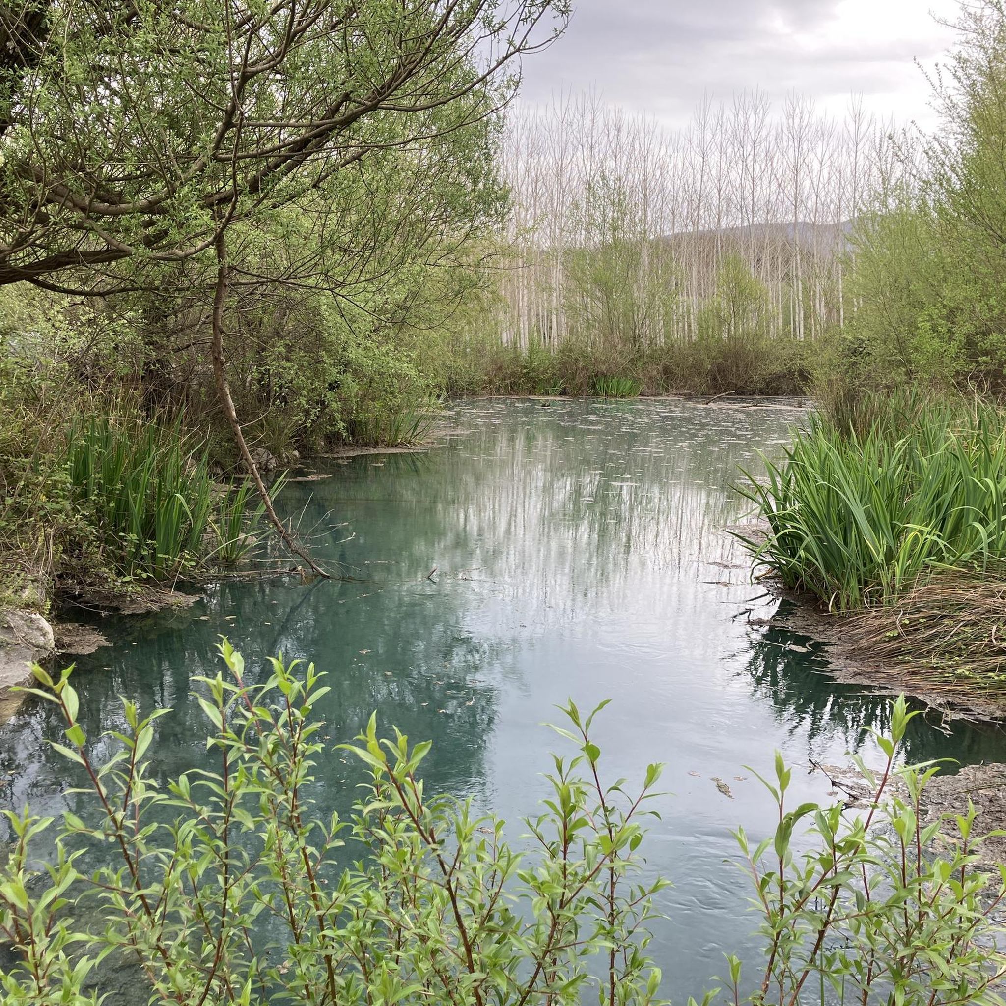
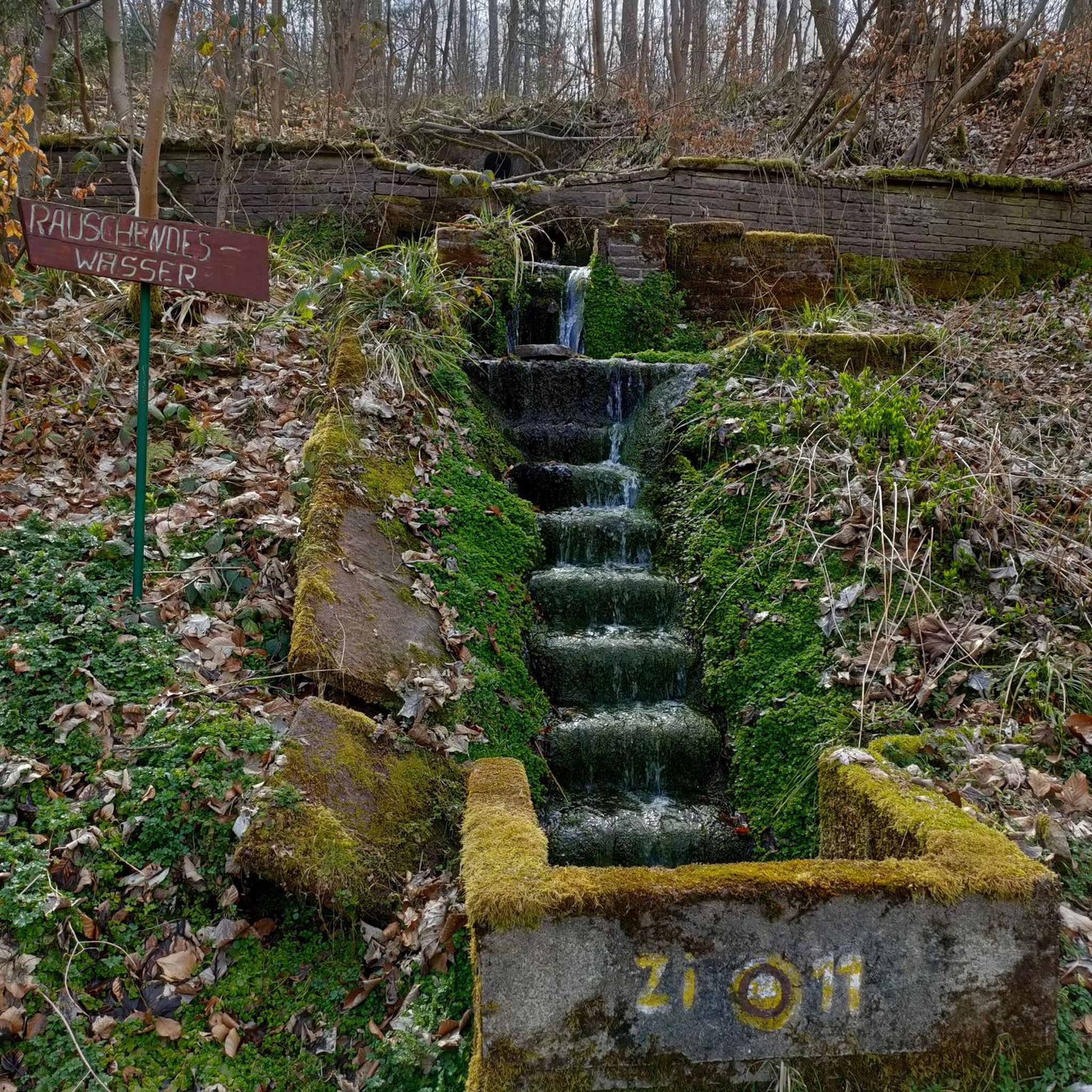
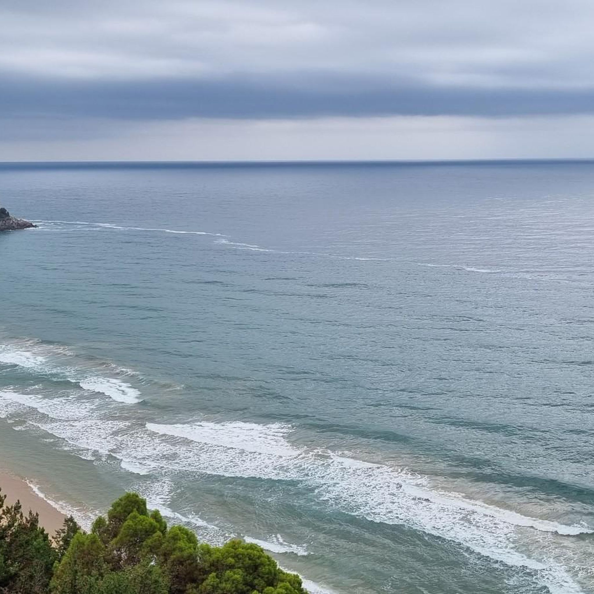
Tips from the Community

Dam that allows you to pass from one bank to the other
0
0
Overlooking point on the Garigliano river. It can be reached via a stretch of dirt road
1
0

Nice spot at the end of the road for having a bath in the river and camping for one night
2
0

Interesting view of the Suio dam on the Garigliano river.
0
0
Small hilltop village in the province of Latina. It hosts Romanesque spas and was part of the territory of the Pentapoli Aurunca.
0
0

From here it is possible to enjoy a beautiful view of the eastern Aurunci, the Ausente Valley to the sea.
1
0
Most of the trail is part of an old mule track. This was built with reinforcements downstream of boulders and drywall. The start of the mule track is at Passo Bastia.
1
0
Here you can enjoy the view of Vallemaio.
1
0
Frequently Asked Questions
How many hiking trails are available in Sant'Andrea Del Garigliano?
There are 7 hiking trails around Sant'Andrea Del Garigliano, offering a range of experiences from easy strolls to more challenging routes. The majority of these are moderate in difficulty.
What kind of terrain can I expect on hikes around Sant'Andrea Del Garigliano?
The terrain around Sant'Andrea Del Garigliano is diverse, characterized by the verdant Garigliano Valley and the prominent Garigliano River. You'll find trails winding through abundant greenery, with some areas influenced by the extinct Roccamonfina volcano. Expect a mix of valley paths and mountain trails, offering varied landscapes.
Are there any family-friendly hiking options in the area?
Yes, there is one easy trail suitable for families. Additionally, the path leading to the Orto della Regina Megalithic Walls is described as a low-difficulty hike, making it a good option for families looking to explore history amidst nature.
What natural features or landmarks can I see along the hiking trails?
Hikers can discover several notable natural features and landmarks. The Conca della Campania Waterfall, fed by the Rivo di Conca stream, is a significant natural attraction. You can also visit the refreshing Salomone Spring, a cold water source by the Garigliano River. The Garigliano Dam is another point of interest.
Are there any circular hiking routes in Sant'Andrea Del Garigliano?
Yes, several routes are circular. For example, the From Coreno Ausonio to Monte Maio - ring tour and the Suio and the Garigliano Dam – loop tour are both loop trails, allowing you to start and end in the same location.
What is the best season for hiking in Sant'Andrea Del Garigliano?
Sant'Andrea Del Garigliano offers pleasant hiking conditions for much of the year. The region's abundant greenery and water features make spring and autumn particularly appealing, with milder temperatures. Summer can also be enjoyed, especially along river paths or early in the morning.
What do other hikers say about the trails in Sant'Andrea Del Garigliano?
The routes in Sant'Andrea Del Garigliano are highly rated by the komoot community, with an average score of 4.4 stars from over 8 reviews. Hikers often praise the varied terrain, the scenic views over the Garigliano Valley, and the blend of natural and historical attractions.
Are dogs allowed on the hiking trails?
Generally, dogs are welcome on trails in natural areas, but it's always advisable to keep them on a leash, especially in areas with wildlife or near agricultural land. Specific rules may apply to certain protected areas, so check local signage.
Where can I find parking for trailheads?
While specific parking areas for each trailhead are not detailed, Sant'Andrea Del Garigliano is a small village. Parking is typically available in or near the village center, from where many trails can be accessed. For routes starting in other towns like Ausonia or Coreno Ausonio, parking would be available in those respective village centers.
Are there any cafes or places to eat near the hiking routes?
Sant'Andrea Del Garigliano and nearby villages like Suio, Coreno Ausonio, and Ausonia offer local cafes and restaurants where hikers can refuel. These establishments provide opportunities to experience local cuisine and hospitality after a day on the trails.
What is the difficulty level of most hikes in this region?
Most of the hiking trails around Sant'Andrea Del Garigliano are classified as moderate. This means they typically involve some elevation gain and cover distances that require a reasonable level of fitness, offering a good balance for regular hikers.
Can I reach the hiking trails using public transport?
Public transport options to reach the trailheads directly might be limited, as is common in more rural Italian areas. It is generally recommended to use a car to access the starting points of the trails. However, local bus services may connect Sant'Andrea Del Garigliano to larger towns, from where you might need to arrange further transport.
Most popular routes around Sant'Andrea Del Garigliano
Most popular attractions around Sant'Andrea Del Garigliano

Get inspired with the komoot mobile app


Explore more
Browse the best Hikes in other regions.
