The best running trails around Tavoleto
4.5
(14)
677
runners
48
runs
Jogging around Tavoleto offers diverse terrain across the region's rolling hills and valleys. The landscape features a mix of open countryside and rural paths, providing varied running experiences. Elevation changes are common, making many routes suitable for those seeking a moderate to difficult challenge. This area provides a natural setting for exploring on foot.
Best jogging routes around Tavoleto
- The most popular jogging route is Running loop from Fratte, a 7.9 miles (12.8 km) trail that takes 1 hour…
Last updated: October 8, 2026
10
runners
27.7km
03:27
890m
890m
Hard run. Very good fitness required. Mostly paved surfaces. Suitable for all skill levels.
7
runners
12.8km
01:42
490m
490m
Hard run. Very good fitness required. Mostly paved surfaces. Suitable for all skill levels.

6
runners
9.83km
01:03
130m
130m
Moderate run. Good fitness required. Mostly paved surfaces. Suitable for all skill levels.
8
runners
11.2km
01:25
420m
420m
Hard run. Very good fitness required. Mostly paved surfaces. Suitable for all skill levels.
3
runners
9.94km
01:13
320m
320m
Hard run. Very good fitness required. Mostly paved surfaces. Suitable for all skill levels.
Get access to more routes and recommendations from other explorers.
Already have an account?
Our route recommendations are based on thousands of hikes, rides, and runs completed by other people on komoot.
Start today with a free account
Your next adventure awaits.
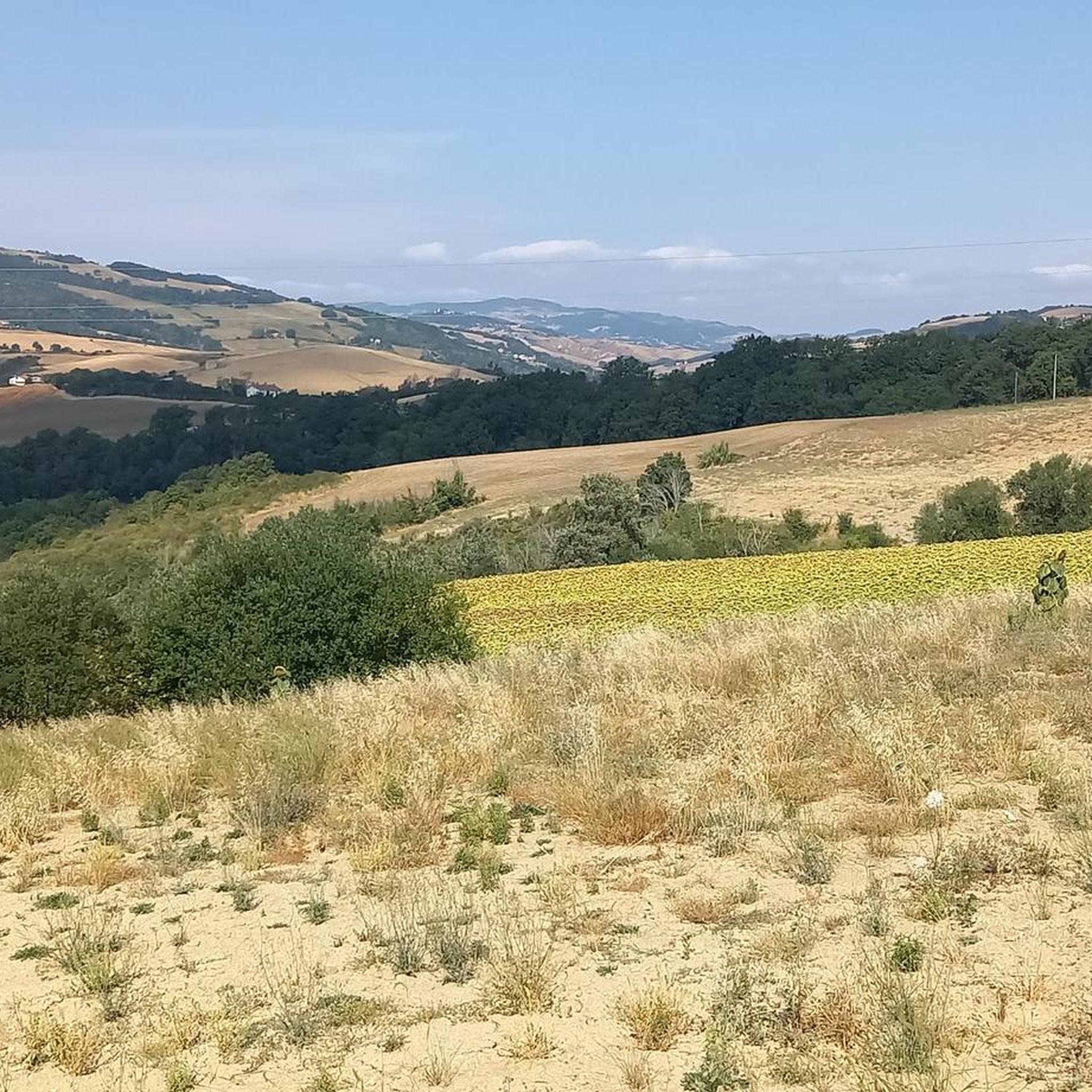
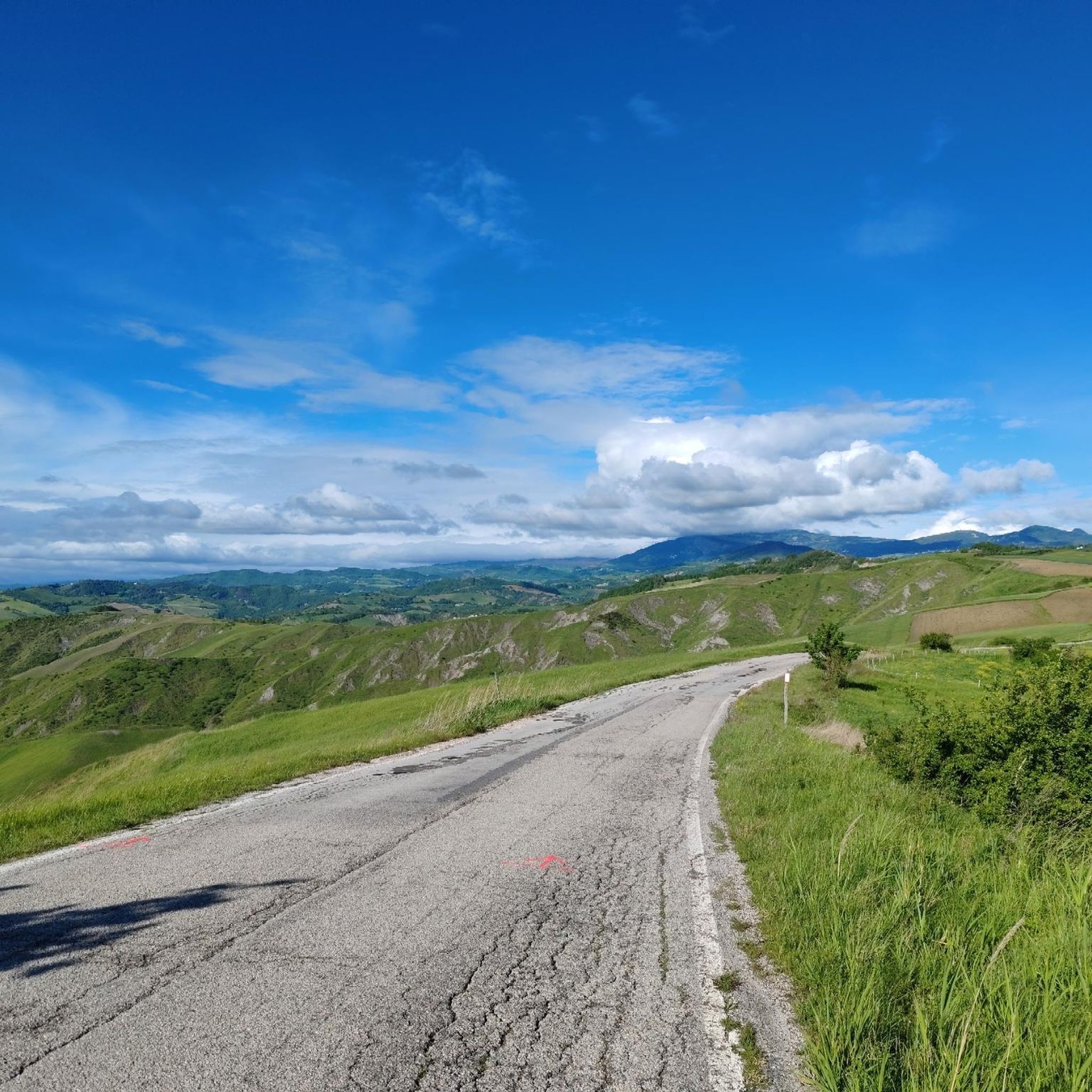
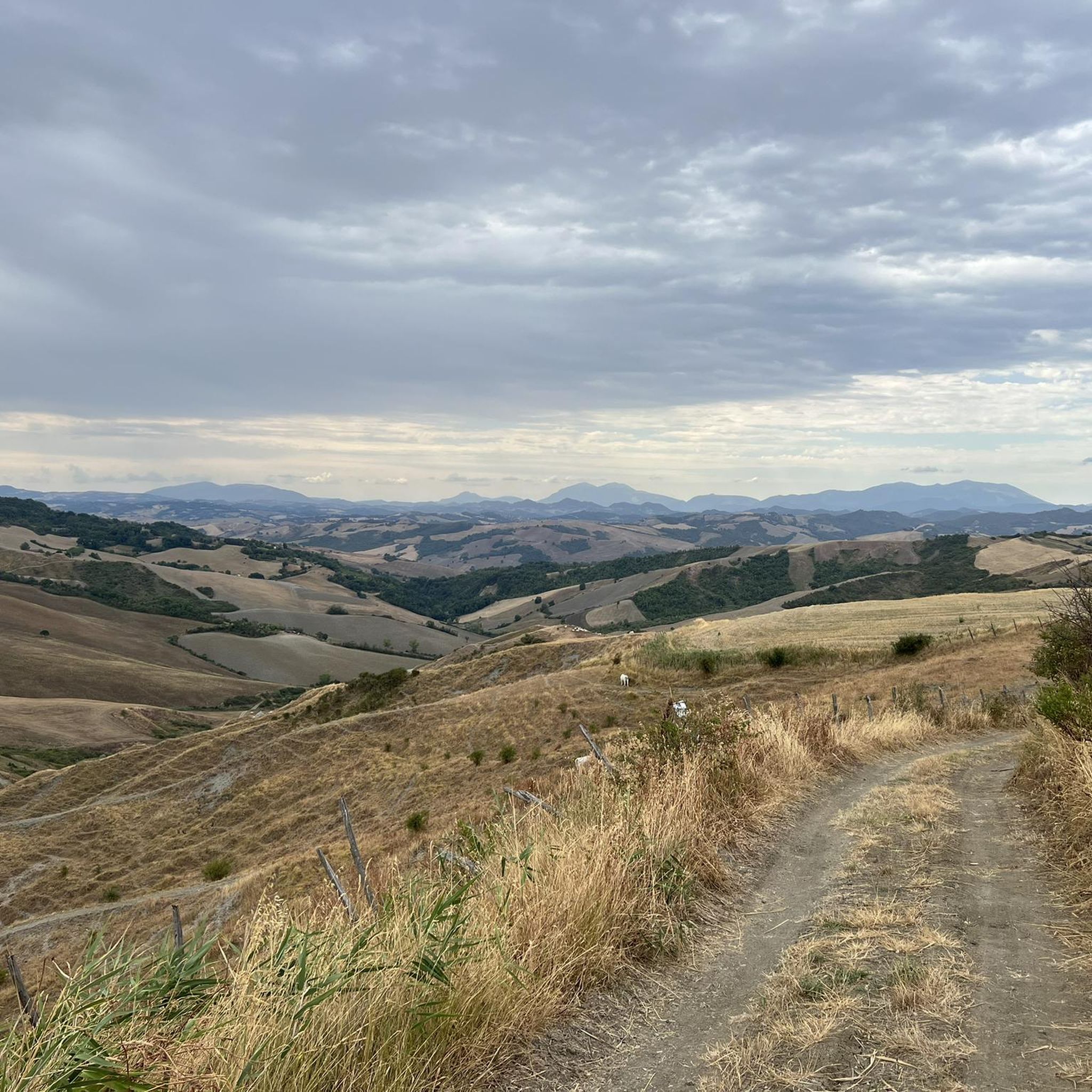
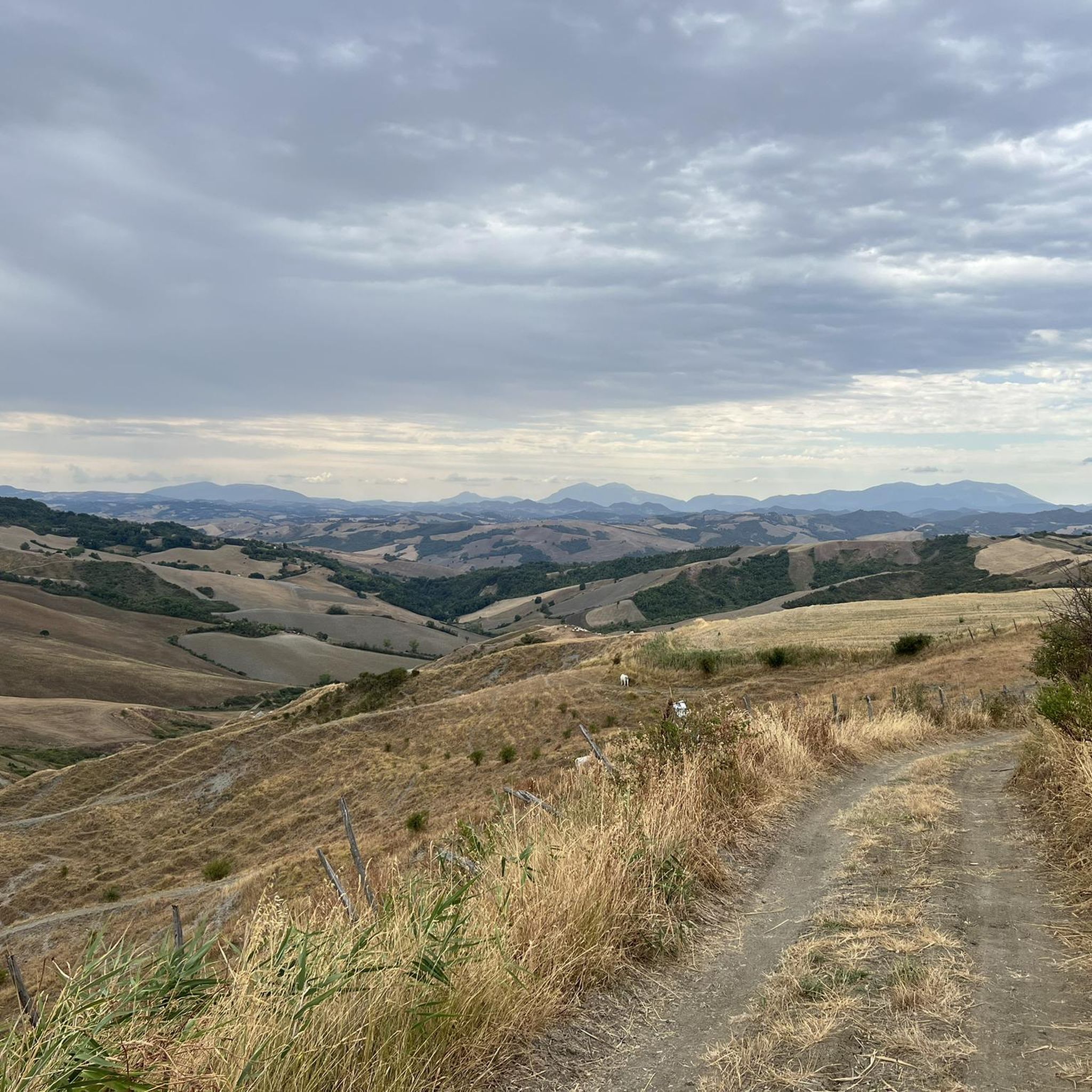
Tips from the Community

The Conca river is a watercourse that flows in the Rimini Apennines. It originates from the eastern side of Mount Carpegna, at 1415 meters above sea level, and continues in the direction of the Adriatic Sea, covering approximately 44.5 kilometres.
0
0

From this bridge it is possible to observe the stony bed of the Conca river. The river is often dry but during flood periods the flow of water completely transforms the landscape.
0
0
Montegiardino: the coat of arms clearly takes up the toponym: "D'azzurro, with three red roses with green leaves and leaves, arranged in a fan, rising from the top of a mountain of three golden peaks". It is the smallest castle of the nine, in size, just 3.31 km², and number of inhabitants, only 793. It borders the castles of Fiorentino and Faetano and the Italian municipalities of Sassofeltrio (PU) and Monte Grimano (PU) .
2
0

Sassofeltrio stands on a spur of chalky rock not far from the central part of the Conca valley. Protected by a defensive wall, it offers a panoramic point of view over a vast, sun-filled valley. In addition to the valley, you can admire San Marino and Mount Titano in the distance.
0
0


A small town in the middle Conca Valley, located on the left bank of the Conca River. Although this place is relatively modern and not as idyllic as some other historic towns in the area, the town is still well located for a short refreshment stop before the long climb to Villagrande.
2
0
The ascent of Montegiardino in my opinion is the one with the most important slopes between all the roads leading to S. Marino. You get there passing from Ospedaletto di Coriano and you follow the road of the Marano river park (recently paved), you arrive at Lake Faetano, a little further on there are 2 climbs towards S.Marino, you have to follow the signs to Montegiardino. Ascent of about 9 KM maximum slope 16%
7
0
Frequently Asked Questions
How many running routes are available around Tavoleto?
There are over 30 running routes available in the Tavoleto area, offering a variety of experiences. These include 1 easy route, 18 moderate routes, and 12 difficult routes, catering to different fitness levels.
Are there easy running routes suitable for beginners in Tavoleto?
Yes, Tavoleto offers routes suitable for beginners. While there is one specifically classified as easy, many of the 18 moderate routes also provide a gentle introduction to running in the area. For example, the Running loop from Montecalvo in Foglia is a moderate 3.7-mile (6 km) path with manageable elevation.
What are some options for longer distance running trails around Tavoleto?
For those seeking longer distances, Tavoleto has several challenging routes. The Running loop from Fratte is a popular choice, covering 7.9 miles (12.8 km) with significant elevation gain. Another option is the Scenic viewpoint – Gemmano loop from Gemmano, which is 8 miles (12.8 km) long and offers rewarding views.
What is the typical length of running trails in the Tavoleto area?
The running trails around Tavoleto vary significantly in length. You'll find routes ranging from shorter, around 3.7 miles (6 km), up to longer trails of about 8 miles (12.8 km). This variety allows runners to choose paths that fit their desired distance and time commitment.
Is parking available near the running trails in Tavoleto?
While specific parking information isn't always detailed for every trail, most routes around Tavoleto start from or pass through small towns and villages like Fratte, Morciano di Romagna, or Mercatino Conca. You can generally find public parking in these areas, often near town centers or local amenities, serving as convenient starting points for your run.
Can I bring my dog on the running trails around Tavoleto?
Many of the rural paths and open countryside trails around Tavoleto are suitable for running with dogs. It's generally recommended to keep your dog on a leash, especially when passing through agricultural areas or near livestock, and to always clean up after your pet. Always be mindful of local regulations and other trail users.
Are there family-friendly running trails in Tavoleto?
For families looking to enjoy a run together, the easier and moderate routes are generally the best choice. These trails often feature less challenging terrain and elevation. Look for routes that start from villages, as they may offer more accessible facilities and flatter sections suitable for a family outing.
What is the best time of year to go running in Tavoleto?
The best time to go running in Tavoleto is typically during spring and autumn. These seasons offer pleasant temperatures, vibrant landscapes, and comfortable conditions for outdoor activity. Summer can be warm, so early mornings or late afternoons are preferable, while winter runs might require checking weather conditions for rain or cooler temperatures in the rolling hills.
Are there any circular running routes in Tavoleto?
Yes, many of the running routes in Tavoleto are circular, allowing you to start and end at the same point without needing to retrace your steps. Examples include the Running loop from Morciano di Romagna and the Mercatino Conca loop from Mercatino Conca, both offering varied scenery on a loop.
What can I see along the jogging routes in Tavoleto?
The routes around Tavoleto offer a mix of natural beauty and local points of interest. You might encounter natural monuments like the Onferno Caves or the Rupe Trail. The landscape features rolling hills, open valleys, and rural paths, providing scenic views of the surrounding countryside.
What do other runners enjoy the most about jogging in Tavoleto?
The running trails in Tavoleto are highly rated by the komoot community, with an average score of 4.9 stars from more than 10 reviews. Runners often praise the diverse terrain, the mix of open countryside and rural paths, and the natural setting that defines the area's running experience.
Most popular attractions around Tavoleto

Get inspired with the komoot mobile app


Explore more
Browse the best Running Trails & Routes in other regions.
