The best road cycling routes around Camporgiano
4.5
(114)
3,174
riders
14
rides
Road cycling routes around Camporgiano traverse a diverse landscape situated between the Apennines and the Apuan Alps in Tuscany's Garfagnana region. The terrain features significant elevation changes, with routes winding through mountainous areas, pristine nature, and charming rural settings. Cyclists encounter a mix of narrow, low-traffic municipal roads and cultivated fields within the River Serchio Valley, offering varied riding experiences. The region's natural features include lakes like Gramolazzo and Vagli, alongside numerous mountain passes.
Best road cycling routes around Camporgiano
…Last updated: June 29, 2026
4.0
(6)
101
riders
41.5km
02:12
740m
740m
Moderate road ride. Good fitness required. Mostly well-paved surfaces and easy to ride.
3.0
(2)
104
riders
81.1km
03:56
1,100m
1,100m
Hard road ride. Very good fitness required. Mostly well-paved surfaces and easy to ride.

Sign up for free
5.0
(3)
74
riders
64.2km
03:41
1,450m
1,450m
Hard road ride. Very good fitness required. Mostly well-paved surfaces and easy to ride.
5.0
(1)
42
riders
51.4km
03:11
1,360m
1,360m
Hard road ride. Very good fitness required. Mostly well-paved surfaces and easy to ride.
44
riders
Hard road ride. Very good fitness required. Mostly well-paved surfaces and easy to ride.
Get access to more routes and recommendations from other explorers.
Sign up for free
Already have an account?
Our route recommendations are based on thousands of hikes, rides, and runs completed by other people on komoot.
Start today with a free account
Your next adventure awaits.
Login or Signup
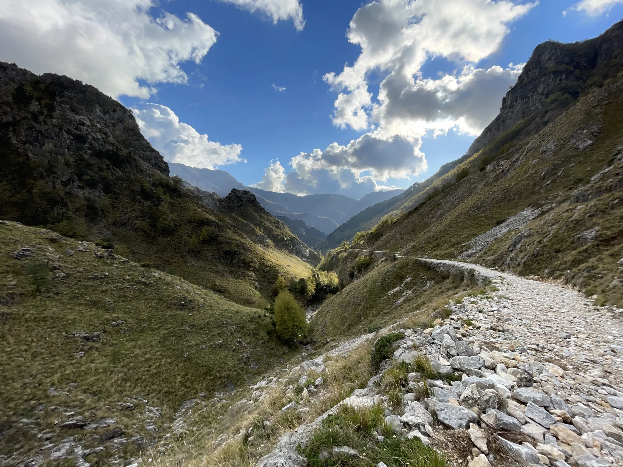

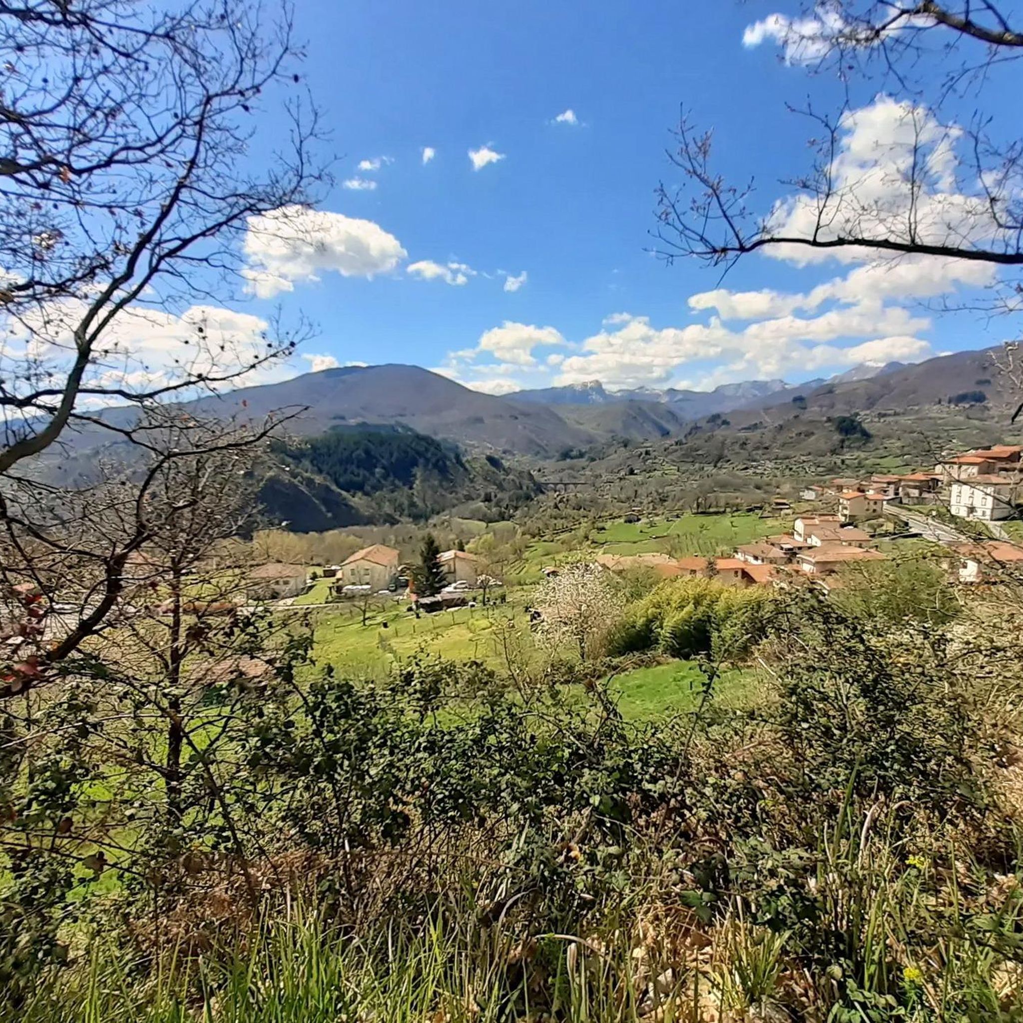
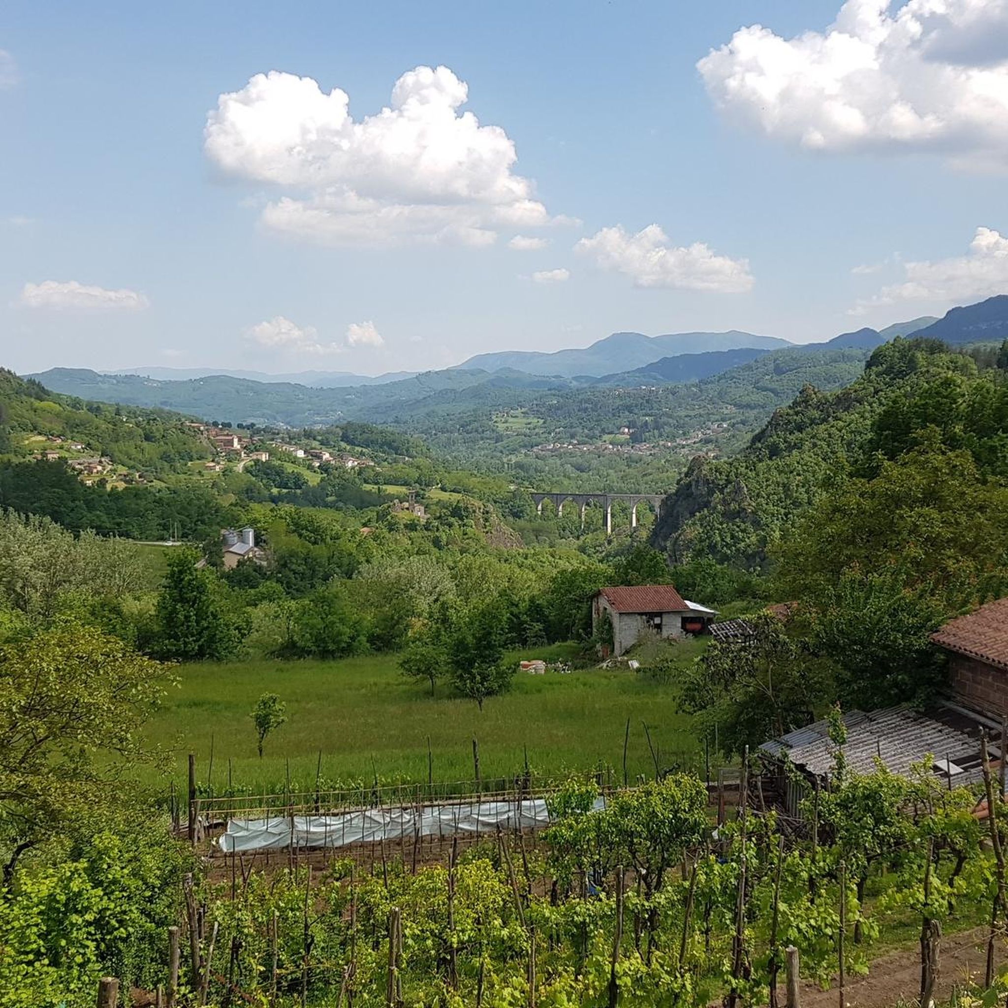
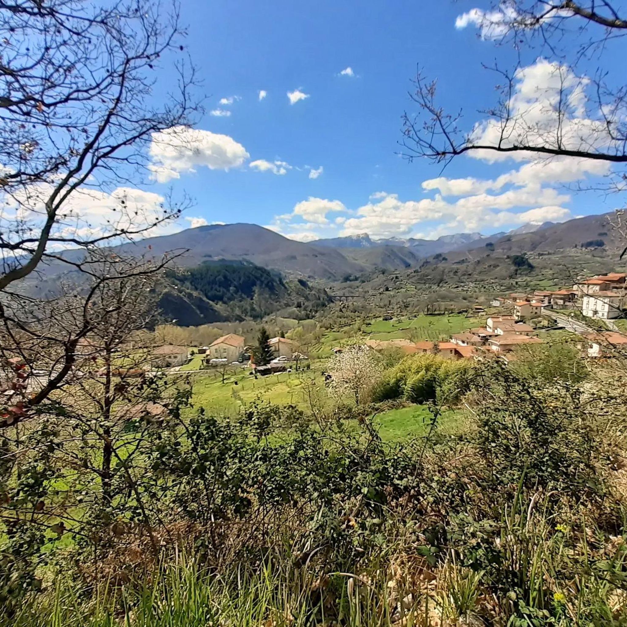


Other adventures around Camporgiano

Tips from the Community

The lake of Gramolazzo is a lake in the Apuan Alps located near the homonymous village in the municipality of Minucciano. Of artificial origin, it was created in the second half of the 1900s, together with the lake of Vagli by SELT Valdarno for the hydroelectric use of the Serchio river and its tributaries. The lake, which has a surface area of one square kilometer and a volume of 3.8 million cubic meters, has both the Serchio di Gramolazzo as its inflow and outflow, one of the two branches that, joining near Piazza al Serchio, form the Tuscan river. Another important stream that flows into the lake is the Acqua Bianca stream, which coming from Mount Pisanino crosses the village of Gorfigliano. A large part of the water, however, is fed through a channel on the left bank, near the dam, which with a maximum flow rate of 20 cubic meters per second discharges the waters captured from the Serchio into the Sillano valley. The waters of the lake of Gramolazzo feed the Fabbriche power plant which in turn discharges them into the lake of Vagli.
0
0

A fantastic parish church that's worth a visit. The interior, especially, is truly beautiful.
0
0

A must-see with sweeping views of the surrounding mountains, all immersed in lush greenery.
0
0
The place is cool and quiet during the week. Canoe rentals are available for lake excursions.
0
0

It can be reached both on asphalt and on a path. Always pleasant.
0
0

The parish church of Codiponte of Saints Cornelio and Cipriano is among the most fascinating and artistically rich in the territory of the ancient Diocese of Luni. With its figurative capitals and its artistic masterpieces, it is a true paradigm of the Lunigiana Romanesque. The parish church stands on the right bank of the Aulella, near a bridge beyond which, in the distance, you can see the ruins of the 11th-century Bianchi d'Erberia castle. The church has a basilica plan with three naves with columns and round arches and perfectly preserved notched cubic capitals, which bear figures typical of the medieval image system: the tree of life, lily, six-petalled daisy, serpent with feet, two-tailed mermaid and many others. The late medieval triptych with the Virgin on the throne, the SS. Cornelius and Cyprian, the church's patron saints, and the image of the Holy Face, a famous and venerated Lucchese relic, which recalls the passage of the Via del Volto Santo in these very places.
0
0
Characteristic village of the upper Aulella valley, nestled along the crest of a rocky spur, the town still today winds along an axis that has at its center the baroque church (17th century), dedicated to San Martino, with a singular façade. On the sides of the monument, two pedestrian streets with a slight difference in level run between tightly packed stone houses, softened by arches and portals. Farmyards, terraces and open spaces open the view onto a lush nature.
0
0
Frequently Asked Questions
How many road cycling routes are available around Camporgiano?
There are over 15 road cycling routes around Camporgiano, offering a diverse range of experiences. The region is particularly known for its challenging routes, with 10 classified as difficult and 9 as moderate.
What kind of terrain can I expect on road cycling routes in Camporgiano?
Road cycling routes in Camporgiano traverse a varied landscape situated between the Apennines and the Apuan Alps. You can expect significant elevation changes, with routes winding through mountainous areas, the picturesque River Serchio Valley, and charming rural settings featuring vineyards and olive trees. Some routes may include a mix of paved and unpaved surfaces, offering a diverse riding experience.
When is the best time of year for road cycling in Camporgiano?
The region is particularly popular for cycling between May and August. During these months, the weather is generally favorable for exploring the diverse terrain and enjoying the stunning landscapes of the Garfagnana region.
Are there options for less experienced road cyclists in Camporgiano?
While Camporgiano is known for its challenging climbs, there are also moderate routes available. These routes still offer beautiful scenery but with less strenuous elevation gains, making them suitable for cyclists looking for a more relaxed experience. For example, the region offers easier circular tours on forest tracks and roads, though specific easy road cycling routes are less common than moderate or difficult ones.
What natural features can I see while road cycling near Camporgiano?
Many routes offer breathtaking views of the Apennines and Apuan Alps. You can cycle past beautiful lakes such as Lake Gramolazzo and Lake Vagli, and traverse the scenic River Serchio Valley with its cultivated fields. The region also boasts natural reserves like the Orecchiella Nature Reserve and the magnificent mountain pasture of Campocatino.
Are there any historical or cultural landmarks along the cycling routes?
Yes, Camporgiano and its surroundings are rich in history. You might encounter medieval villages strategically built on hilltops, such as Ceserana or Castiglione di Garfagnana. The prominent 15th-century Rocca degli Estensi in Camporgiano itself is a notable landmark, and the historic Via del Volto Santo pilgrimage route also passes through the area.
Are there circular road cycling routes available in Camporgiano?
Yes, many of the road cycling routes in Camporgiano are designed as loops, allowing you to start and finish at the same point. An example is the challenging Castelnuovo di Garfagnana – Lake Gramolazzo loop, which covers nearly 80 km and features substantial climbing.
What are the typical elevation gains on road cycling routes in Camporgiano?
Road cycling in Camporgiano is characterized by significant elevation changes. Routes often feature substantial climbing, with some difficult routes like the Castelnuovo di Garfagnana – Lake Gramolazzo loop involving over 2,000 meters of ascent. Even moderate routes can include several hundred meters of climbing, making for engaging rides.
What do other road cyclists appreciate about the routes in Camporgiano?
The road cycling routes in Camporgiano are highly rated by the komoot community, with an average score of 4.4 stars from over 60 reviews. Cyclists frequently praise the region's diverse terrain, the stunning views of the Apuan Alps and Apennines, and the challenging climbs that make for a rewarding experience.
Are there challenging road cycling routes for experienced riders?
Absolutely. Camporgiano is an excellent destination for experienced road cyclists seeking a challenge. Many routes feature significant elevation gains and cover long distances. For instance, the Pradarena Pass loop from Camporgiano is a difficult 51.5 km route with over 1,300 meters of ascent, offering a demanding ride through mountainous terrain.
Can I find scenic viewpoints along the road cycling routes?
Yes, the mountainous landscape between the Apennines and the Apuan Alps provides numerous opportunities for scenic viewpoints. Routes often traverse high passes and ridges, offering panoramic vistas of the valleys, lakes, and charming medieval villages below. The Ponte delle Catene di Fornoli loop, for example, offers views of historical structures and the River Serchio valley.
Most popular routes around Camporgiano
Most popular attractions around Camporgiano

Get inspired with the komoot mobile app


Explore more
Browse the best Road cycling routes in other regions.
