The 18 Most Amazing Peaks around Incudine
Best mountain peaks around Incudine are found in the Lombardy region of Italy, offering diverse landscapes and challenging routes. This area is characterized by its mountainous terrain, including parts of the Stelvio National Park and Val Camonica. Visitors can explore historical military trails, alpine lakes, and high-altitude meadows, providing a range of experiences for hikers. The region is known for its panoramic views and opportunities to encounter local wildlife.
Best mountain peaks around Incudine
- The most popular mountain peaks is Saverio Occhi Bivouac, a hut located at 2,047 meters in the Val Grande within the Stelvio National Park. It serves as a fundamental point of reference for exploring the Valle Camonica.
- Another must-see spot is Giuseppe Garibaldi Mountain Hut at Lake Venerocolo, a hut situated at 2,550 meters at the foot of the Adamello. It is a starting point for climbing the Adamello and is located directly on the banks of a reservoir.
- Visitors also love Malga Stain Hut, a hut offering a natural terrace with views of the valley and surrounding mountains. It provides an exceptional location for hikers in the Adamello area.
- Incudine is known for its summits, mountain passes, and huts. The area offers a variety of mountain peaks to see and explore, ranging from challenging climbs to scenic viewpoints.
- The mountain peaks around Incudine are appreciated by the komoot community, with 58 upvotes and 29 photos shared by visitors.
Last updated: July 7, 2026
Malga Stain Hut
Highlight • Mountain Hut
Translated by Google •
Tip by

Foppa Pass: "Mortirolo"
Highlight • Mountain Pass
Translated by Google •
Tip by

Sign up now to discover places like this
Get recommendations on the best single tracks, peaks, & plenty of other exciting outdoor places.
Sign up for free
Saverio Occhi Bivouac
Highlight • Mountain Hut
Dedicated to the memory of the mountaineer Saverio Occhi, it represents a fundamental point of reference for those who want to explore the wonderful Valle Camonica.
Translated by Google •
Tip by

Giuseppe Garibaldi Mountain Hut at Lake Venerocolo
Highlight • Mountain Hut
Translated by Google •
Tip by
Valerio Festa Bivouac at Galinera Pass
Highlight • Mountain Hut
Translated by Google •
Tip by
Sign up for free to discover even more peaks around Incudine.
Sign up for free
Already have an account?
Start today with a free account
Your next adventure awaits.
Login or Signup
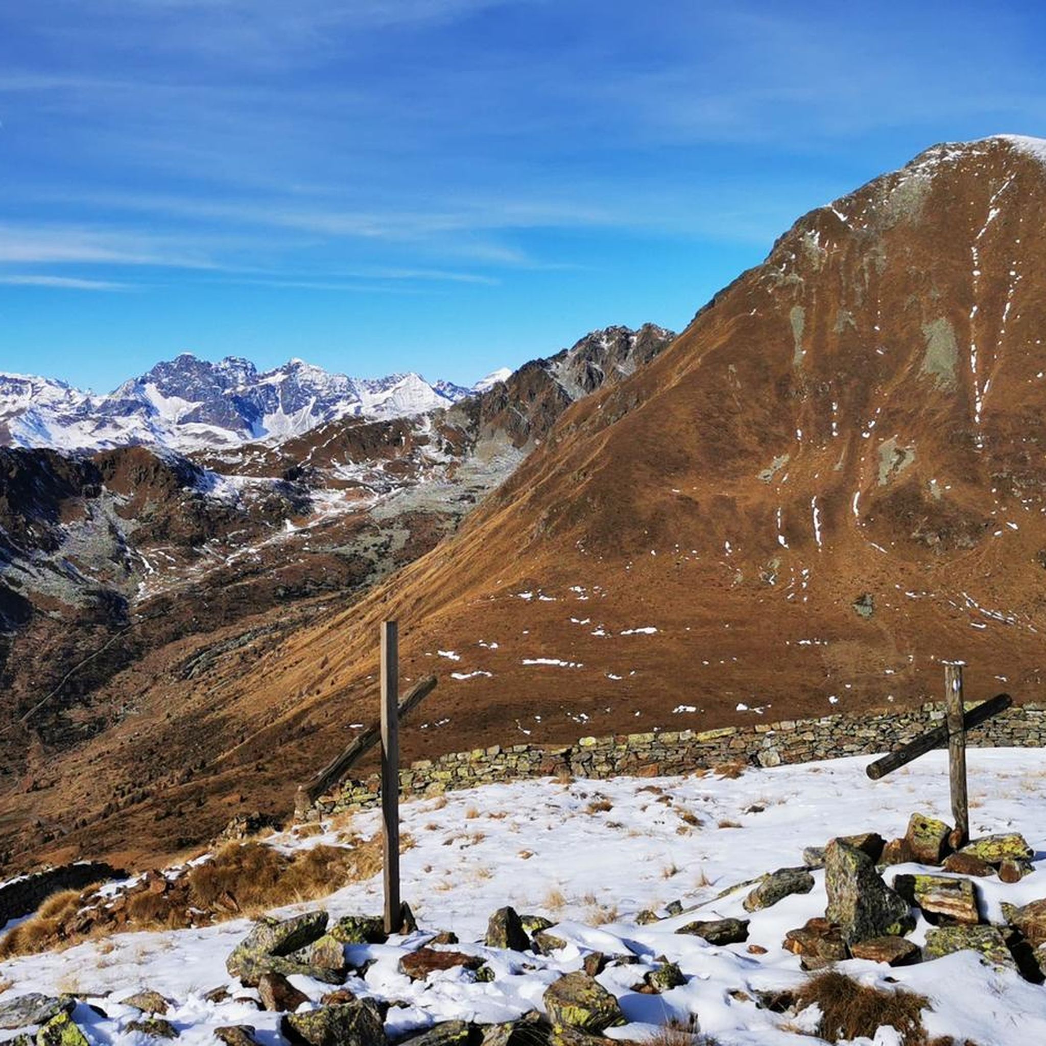
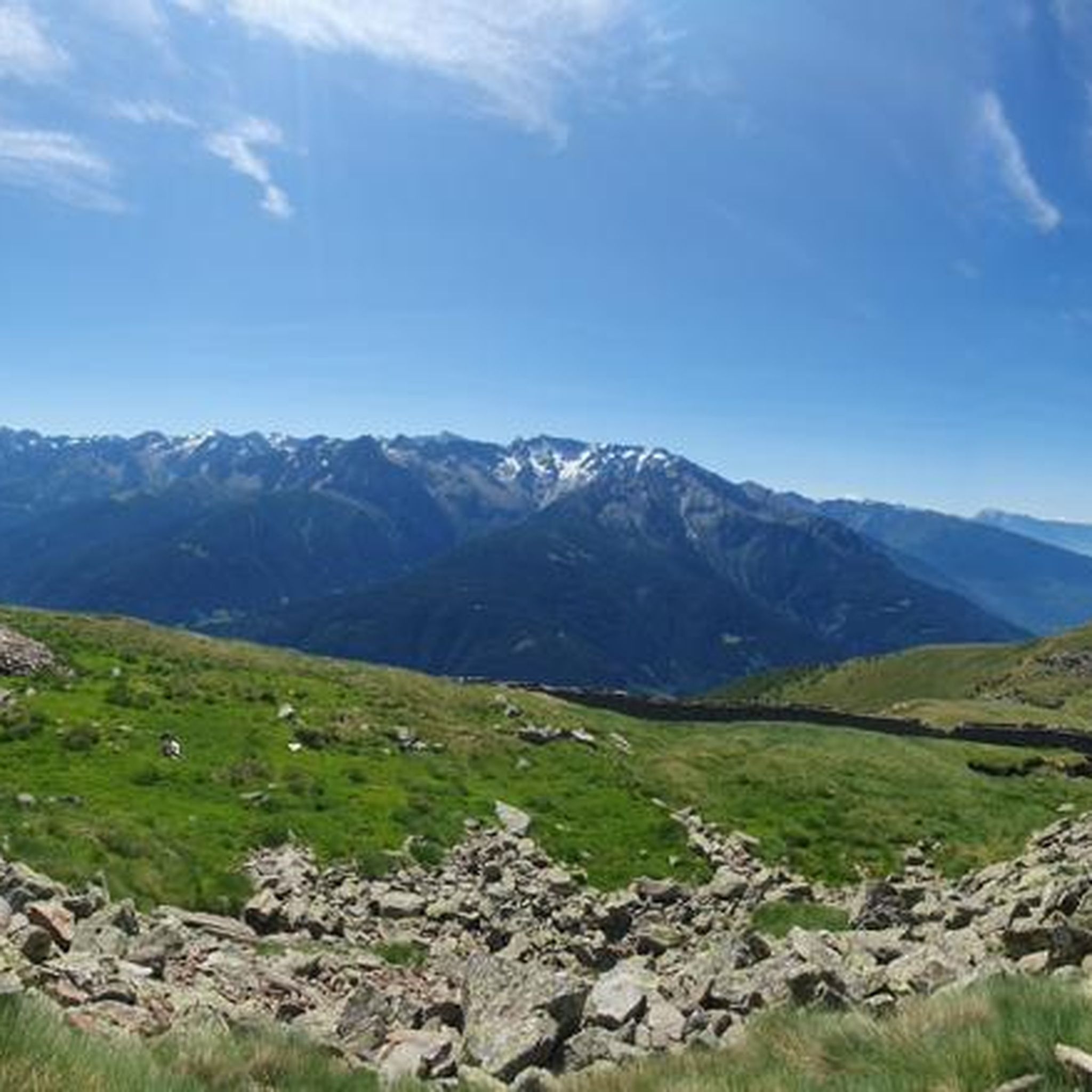
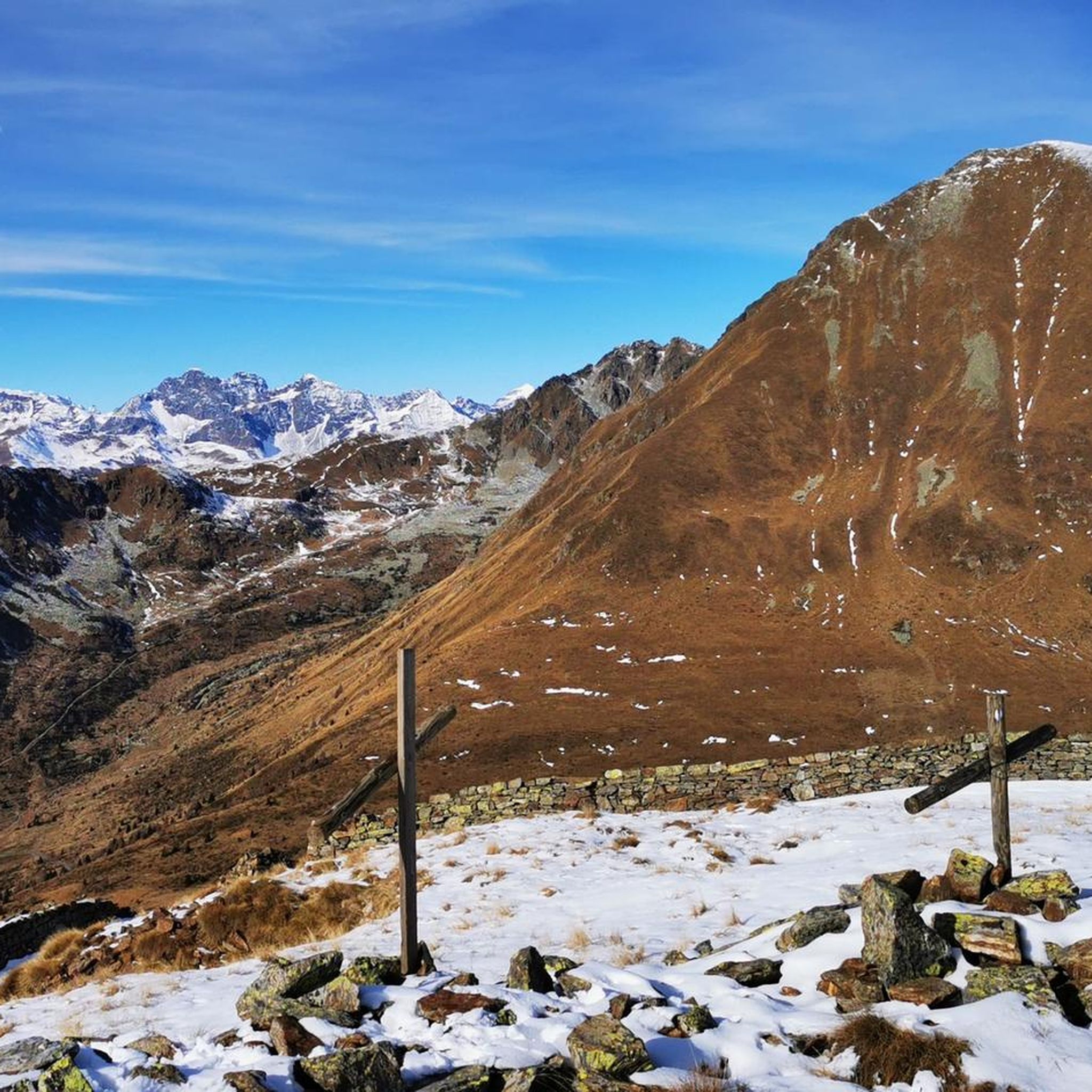


Tips from the Community

beautiful bivouac, equipped. 11 beds. challenging ascent and descent. DO NOT DO THE AVIOLO LAKE LOOP!! VERY DANGEROUS. A GIRL DIED IN 2024
0
0

An essential stopover when hiking in the Adamello! Exceptional location What a view! Very good food Very friendly staff (owner and helpers) Very clean place
1
0

A very tough climb from any side you choose to do it.
21
0

Whichever side you pedal, the pass is always a spectacle of nature…
4
0

Galinera Pass
0
0

A challenge against oneself
3
0

Refuge in a strategic position both as a starting point for excursions and as a transit point.
0
0

The Malga Stain refuge is run by kind and competent people. You eat very well and you can stay in small stone and wood houses. The natural terrace on which the refuge stands is beautiful and from here there is a wonderful view of the valley and the surrounding mountains.
3
0
Frequently Asked Questions
What are some popular mountain peaks and huts to visit around Incudine?
Around Incudine, you can explore several notable peaks and huts. The Saverio Occhi Bivouac is a fundamental point of reference in the Val Grande within the Stelvio National Park. Another popular spot is the Giuseppe Garibaldi Mountain Hut at Lake Venerocolo, situated at 2,550 meters at the foot of the Adamello. For stunning views, consider Malga Stain Hut, which offers a natural terrace overlooking the valley.
What kind of natural features can I expect to see on mountain peaks near Incudine?
The mountain peaks around Incudine, located in the Lombardy region of Italy, offer diverse natural features. You'll find alpine lakes, such as Lake Venerocolo near the Giuseppe Garibaldi Mountain Hut, and expansive panoramic viewpoints from peaks like Cima Rovaia. The region also features high-altitude meadows and forests, particularly larch forests, as you ascend towards the summits.
Are there any historical sites or features on the mountain peaks around Incudine?
Yes, the area around Incudine is rich with historical significance, particularly related to WWI. Many trails, like the path to Cima Rovaia, follow ancient military routes from the Great War. You can discover WWI fortress ruins and stone entrenchments, offering a glimpse into the past amidst the stunning Alpine scenery.
What is the best time of year to hike the mountain peaks around Incudine?
The best time to hike the mountain peaks around Incudine is generally from late spring to early autumn (June to September). During these months, the weather is typically more stable, trails are clear of snow, and mountain huts are usually open. The region offers beautiful vistas and comfortable hiking conditions, though it's always wise to check local weather forecasts before heading out.
Are there family-friendly hiking options among the mountain peaks near Incudine?
While many routes in the Incudine area can be challenging, there are options for families. For instance, the Grom Lakes Circuit is a 9.07 km alpine lake circuit that winds through glacial cirques, offering beautiful scenery and opportunities to spot wildlife like ibex. It's advisable to check specific trail difficulties and distances to ensure they suit your family's experience level.
What outdoor activities, besides hiking, can I do near the mountain peaks around Incudine?
Beyond hiking, the Incudine area offers a variety of outdoor activities. You can explore numerous running trails, such as the 'Picnic area with a beautiful view – Lago del Mortirolo loop from Vezza d'Oglio' or 'Roccolo di Santa Giulia – Picnic Area in Vezza d'Oglio loop'. For cyclists, there are challenging road cycling routes, including those around Foppa Pass: "Mortirolo", and extensive MTB trails like the 'View of the Adamello Mountains – Valbione Lake loop'. You can find more details on these activities in the Running Trails around Incudine, Road Cycling Routes around Incudine, and MTB Trails around Incudine guides.
Are there challenging hiking routes for experienced mountaineers around Incudine?
Yes, experienced mountaineers will find challenging and rewarding routes around Incudine. Peaks like Monte Serottini and Cima dei Tre Comuni offer magnificent high mountain itineraries. The path to Cima Rovaia, while technically simple, is quite steep and requires overcoming some boulders to reach the true summit. The area around the Adamello, accessible from the Giuseppe Garibaldi Mountain Hut, also presents significant climbing opportunities.
What do visitors particularly enjoy about the mountain peaks and huts around Incudine?
Visitors frequently praise the exceptional locations and stunning views offered by the huts and peaks. For instance, the Malga Stain Hut is noted for its beautiful natural terrace and wonderful views. The Saverio Occhi Bivouac is appreciated as a self-managed place for an authentic overnight experience in a beautiful valley. The challenging climbs and historical trails also add to the rewarding experience for many.
What wildlife might I encounter on the mountain peaks near Incudine?
The mountainous region around Incudine is known for its diverse wildlife. Hikers often report seeing ibex, particularly around glacial cirques and alpine lakes like those on the Grom Lakes Circuit. The area's wilderness, especially in parts of the Stelvio National Park, provides a habitat for various species, offering opportunities for wildlife observation.
Is it possible to go cycling on or near the mountain passes around Incudine?
Absolutely. The Incudine area is famous for cycling, especially around its mountain passes. The Foppa Pass: "Mortirolo" is an iconic pass for cyclists, known for its challenging ascents and often featured in the Giro d'Italia. You can reach it from different sides, including Monno and Mazzo di Valtellina. There are numerous road cycling and MTB routes that traverse these passes, offering demanding yet rewarding experiences.
Are there any easy or moderate mountain hikes around Incudine?
Yes, while the region offers challenging routes, there are also easier options. The Sentiero delle Aquile to Lago d'Aviolo, an 8.69 km trail, leads to a significant natural landmark and can be a moderate option. For a more relaxed experience, the area around Monte Pianaccio, accessible from Incudine, offers beautiful vistas from a 'surprising terrace' without necessarily requiring extreme difficulty. Always check trail descriptions for specific difficulty ratings.
How accessible are the mountain peaks around Incudine by public transport or car?
Access to the mountain peaks around Incudine typically involves a combination of driving and then hiking. While Incudine itself is a small village, major roads lead to trailheads and mountain passes. For public transport, options might be limited, often requiring bus services to nearby towns like Vezza d'Oglio or Monno, from where you would then need to arrange further transport or start your hike. Parking is usually available at popular trailheads, but it's always recommended to check specific access points for the peak you plan to visit.
Most popular routes around Incudine
Most popular attractions around Incudine

Get inspired with the komoot mobile app


Explore more
See even more amazing summits around Incudine with these guides:
