The best cycling routes around Incudine
4.6
(366)
10,433
riders
132
rides
Touring cycling routes around Incudine are situated within Valle Camonica, a region characterized by its location on the River Oglio and bordering the Adamello Park. The landscape features extensive pastures, conifer woods, and green meadows carved from dense spruce and larch forests. Significant mountainous terrain, including peaks like Mount Pagano, defines the area, offering varied elevation for cyclists. The River Oglio is a central feature, home to the renowned Greenway along the Oglio River.
Best touring cycling routes around Incudine
…Last updated: July 5, 2026
4.6
(18)
255
riders
34.6km
02:21
550m
550m
Hard bike ride. Very good fitness required. Mostly paved surfaces. Suitable for all skill levels.
4.0
(4)
161
riders
49.7km
04:07
1,570m
1,560m
Hard bike ride. Very good fitness required. Mostly paved surfaces. Suitable for all skill levels.

Sign up for free
4.7
(3)
80
riders
70.1km
06:12
2,570m
2,570m
Hard bike ride. Very good fitness required. Mostly paved surfaces. Suitable for all skill levels.
50
riders
42.5km
04:42
1,670m
1,670m
Hard bike ride. Very good fitness required. You may need to push your bike for some segments of this route.
4.2
(5)
51
riders
Moderate bike ride. Good fitness required. Mostly paved surfaces. Suitable for all skill levels.
Get access to more routes and recommendations from other explorers.
Sign up for free
Already have an account?
Our route recommendations are based on thousands of hikes, rides, and runs completed by other people on komoot.
Start today with a free account
Your next adventure awaits.
Login or Signup


Tips from the Community

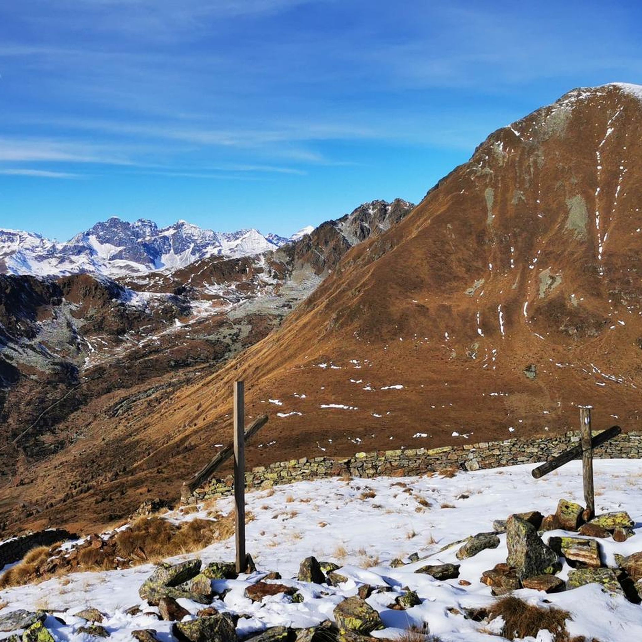
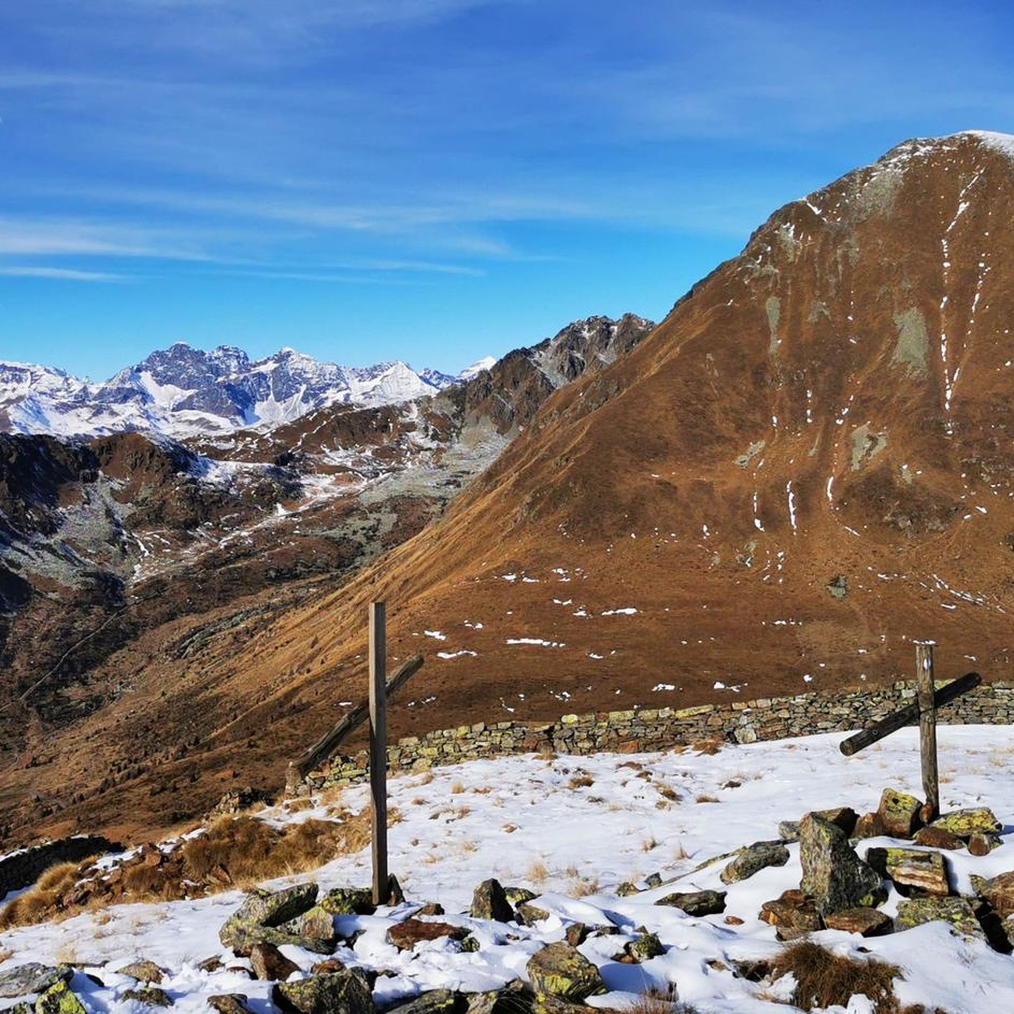
The Mortirolo is a legendary climb of the Giro d'Italia. The most famous is the climb from Mazzo di Valtellina – twisty, steep, and long, with an average gradient of around 10–11%, reaching 18–19% in some sections. Many cyclists consider it one of the most challenging climbs in the Alps, alongside the Stelvio and Gavia. The Mortirolo Pass is where such luminaries as Marco Pantani have won or lost stages of the Giro.
1
0
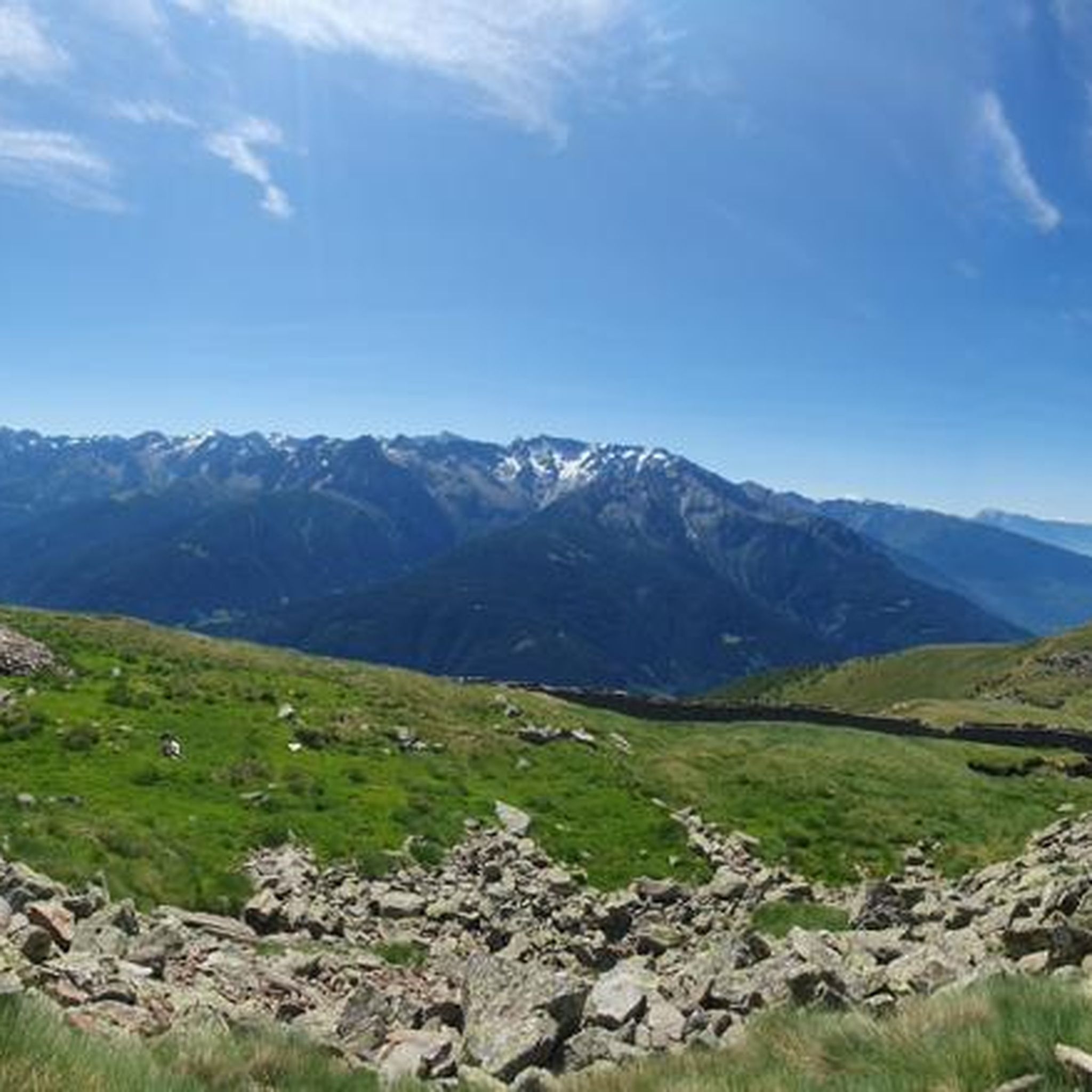
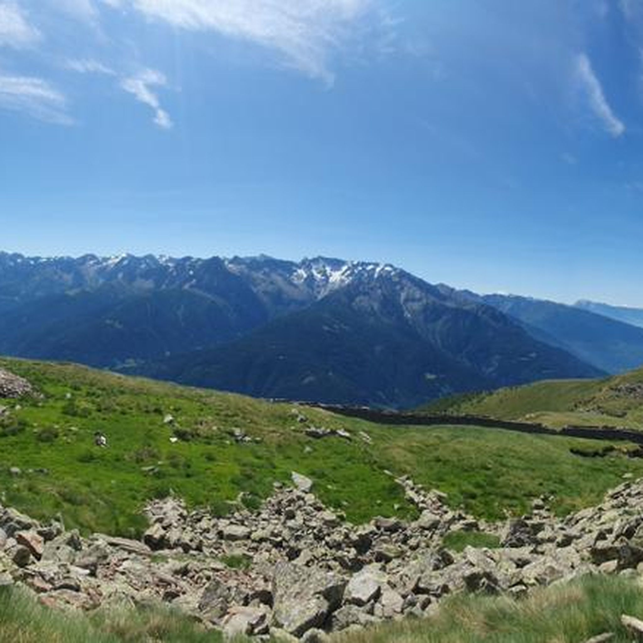
The pass is located at an altitude of 1,852 meters above sea level. It connects the Valtellina Valley (Bormio) with the Camonica Valley (Monno). The pass lies in the heart of the Retiche Mountains, in an area full of mountain lakes and steep Alpine landscapes.
1
0
Passo del Mortirolo (also known as Passo della Foppa) is one of the most demanding Alpine passes in Italy, especially famous in the world of cycling.
1
0
The rifugio is run by the local Antonioli family, who have been active in this part of the Camonica Valley for generations and still produce traditional products – cheeses, meats, and simple dishes – that are served to guests. In summer, the rifugio offers accommodations in multi-person rooms and home-cooked meals, while in winter it is open on selected weekends.
1
0
Rifugio Antonioli is located in the Mortirolo Pass region in Lombardy, at an altitude of approximately 1,750 meters above sea level, near the mountain lake Mortirolo. Formerly a malga, or shepherd's hut, used for grazing and cheesemaking in the summer. In 2010, the building was renovated and converted into a mountain hut, preserving the simple, stone and wood character typical of Alpine pastures.
1
0

the first 5 km from Edolo are challenging...continuous ups and downs with short bursts, but very challenging slopes. The remaining ones up to Ponte di Legno become much more pleasant and rideable and also from a landscape point of view this stretch is very rewarding - Approved !!
0
0

A dedication to the great Pantani.
4
0
Monument dedicated to the pirate.
5
0
Frequently Asked Questions
How many touring cycling routes are available around Incudine?
Incudine offers a wide variety of touring cycling routes, with over 130 options to explore. These routes cater to different skill levels, including 9 easy, 24 moderate, and 99 difficult trails.
Are there any easy touring cycling routes suitable for beginners in Incudine?
Yes, Incudine has 9 easy touring cycling routes. While many routes in the region are challenging, you can find gentler options that allow you to enjoy the scenic Valle Camonica and River Oglio without extensive climbs. Look for routes that stick closer to the valley floor.
What are the most scenic viewpoints or natural features to see while cycling in Incudine?
The Incudine region is rich in natural beauty. You'll find stunning alpine scenery around Val Andrina, Pianaccio, and Mount Pagano. For extraordinary panoramic views of the upper Camonica Valley, including Mattaciul, Baitone, Aviolo, and the Cime di Grom, consider routes that ascend towards Cima Rovaia. The entire Valle Camonica Cycle Path – Ciclovia dell'Oglio loop from Vezza d'Oglio offers picturesque views along the acclaimed Greenway.
Are there any circular touring cycling routes around Incudine?
Yes, many of the touring cycling routes around Incudine are designed as loops. For example, the Ciclovia dell'Oglio – Valle Camonica Cycle Path loop from Incudine offers a challenging circular experience with extensive views of the Valle Camonica landscape. Another option is the Picnic Area in Vezza d'Oglio – Grosio loop from Vezza d'Oglio, which takes you through mountainous terrain and the upper Valle Camonica.
What kind of terrain can I expect on touring cycling routes in Incudine?
The terrain around Incudine is diverse, ranging from the relatively flat Greenway along the River Oglio to significant mountainous climbs. You'll encounter extensive pastures, conifer woods, and green meadows, often on routes carved from dense spruce and larch forests. Expect a mix of paved roads, especially on valley routes, and potentially some gravel or older military roads on higher-altitude trails like the Monte Pagano Circuit.
What do other touring cyclists say about the routes in Incudine?
The touring cycling routes in Incudine are highly rated by the komoot community, with an average score of 4.5 stars from over 380 reviews. Cyclists often praise the challenging climbs, the stunning alpine scenery, and the well-maintained sections of the Greenway along the Oglio River. Many appreciate the variety of routes catering to different fitness levels.
Are there any famous mountain passes accessible by touring bike near Incudine?
Absolutely. Incudine is close to some legendary mountain passes. The Mortirolo Pass is infamous for its demanding climbs and offers fantastic off-road touring opportunities between Valtellina and the higher Valle Camonica. Another local favorite is the Passo di Gavia, reaching an altitude of 2,621 meters, which presents a significant but incredibly scenic challenge. You can find more details about these and other passes in the Mountain Passes around Incudine guide.
What natural attractions or landmarks can I visit near the touring cycling routes?
Beyond the routes themselves, the region offers several natural attractions. You can visit beautiful alpine lakes such as Lake Aviolo, Lake Baitone (near Rifugio Franco Tonolini), and Lake Avio. The ancient Sanctuary of S. Vito and Sant Anna, located at 1,877 meters, offers a cultural and scenic stop amidst larch trees and rhododendrons. For more information, check the Lakes around Incudine guide.
Are there any long-distance touring cycling routes starting near Incudine?
Yes, the region is home to the renowned Greenway along the Oglio River, which is a significant long-distance route. This cycle path is approximately 280 km long with an elevation difference of 1800 meters, providing an acclaimed touring experience. Routes like the Edolo – View of Vezza d’Oglio loop from Vezza d'Oglio can be part of longer multi-day adventures.
What is the best time of year for touring cycling in Incudine?
The best time for touring cycling in Incudine is typically from late spring through early autumn (May to October). During these months, the weather is generally milder, and the mountain passes are more likely to be clear of snow. Summer offers the warmest temperatures, but spring and autumn provide pleasant conditions with fewer crowds and vibrant natural colors.
Are there any routes that follow the River Oglio?
The River Oglio is a central feature of the region, and many routes follow its course. The most prominent is the Greenway along the Oglio River, recognized as 'the most beautiful cycle path in Italy'. Routes such as the Valle Camonica Cycle Path – Ciclovia dell'Oglio loop from Vezza d'Oglio directly incorporate sections of this acclaimed riverside path, offering a picturesque touring experience.
Can I find routes that are particularly challenging for experienced touring cyclists?
Incudine is well-known for its challenging terrain, with 99 of its 132 touring cycling routes rated as difficult. Experienced cyclists will find plenty of demanding climbs and descents, particularly on routes that ascend into the mountainous areas of Valle Camonica and Adamello Park. The Mortirolo Pass and Passo di Gavia are prime examples of routes offering significant challenges and rewards.
Most popular routes around Incudine
Most popular attractions around Incudine

Get inspired with the komoot mobile app


Explore more
Browse the best Cycling routes in other regions.
