The best MTB trails around Berzo Inferiore
4.5
(461)
3,348
riders
176
rides
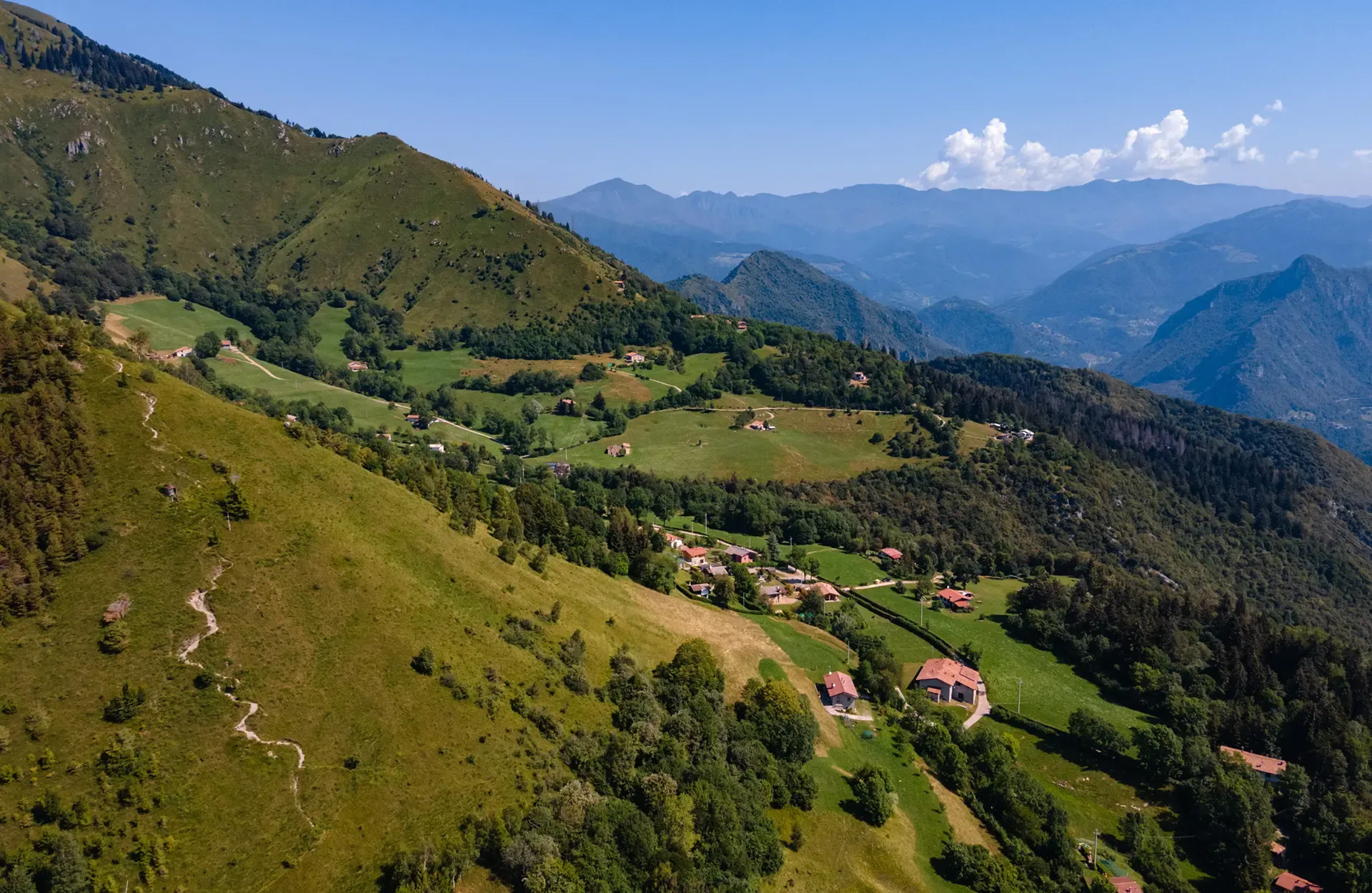
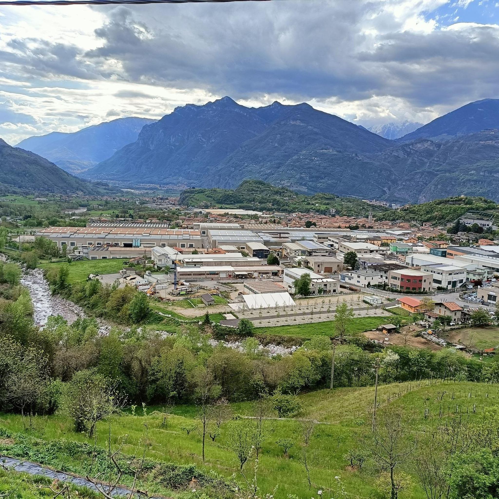
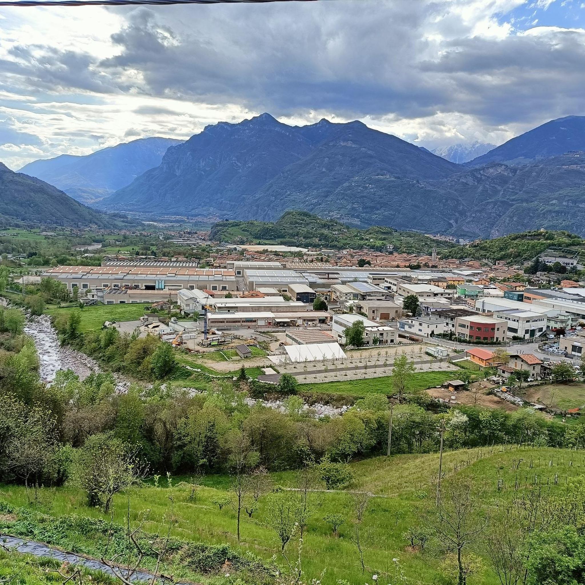
Mountain biking around Berzo Inferiore offers diverse landscapes in the Val Camonica region of Lombardy, Italy. The area features mountainous terrain with significant peaks, serene alpine lakes such as Lake Lova and Lake Moro, and verdant valleys like Val Grigna. This varied topography provides a range of natural features suitable for mountain biking, from challenging climbs to more accessible valley routes.
Best mountain bike trails around Berzo Inferiore
- The most popular mountain bike trail is Loop 3: Gabbia Valley –…
Last updated: July 6, 2026
22
riders
52.7km
06:14
2,250m
2,250m
Hard mountain bike ride. Very good fitness required. Advanced riding skills necessary. Some portions of the route may require you to push your bike.
4.9
(20)
170
riders
103km
10:17
3,940m
3,940m
Hard mountain bike ride. Very good fitness required. Advanced riding skills necessary. Some portions of the route may require you to push your bike.

Sign up for free
5.0
(1)
97
riders
56.6km
06:47
2,500m
2,500m
Hard mountain bike ride. Very good fitness required. Advanced riding skills necessary.
4.2
(10)
72
riders
80.7km
06:15
1,350m
1,350m
Hard mountain bike ride. Very good fitness required. Suitable for all skill levels.
5.0
(1)
26
riders
60.1km
06:05
2,090m
2,090m
Hard mountain bike ride. Very good fitness required. Advanced riding skills necessary.
Get access to more routes and recommendations from other explorers.
Sign up for free
Already have an account?
Our route recommendations are based on thousands of hikes, rides, and runs completed by other people on komoot.
Start today with a free account
Your next adventure awaits.
Login or Signup

Other adventures around Berzo Inferiore

Tips from the Community

Beautiful tour with e-bike, with little portage below the 7 crocette and below the Tita Secchi (old refuge) to go to Pezzeda. Pay attention at the fork for Passo Croce, the path is barely visible. Shortly before reaching the pass, take the path to the right (which I missed) thus avoiding carrying the bike down the rocks.
0
0

Breathtaking panorama, with a sunny day it's fantastic!
0
0

It is a grassy saddle located on the ridge of the Costone, just above the Croce del Costone and before the terrain becomes rockier towards the Pale di San Fermo. It is a transit point, not a summit, but it is very scenic and represents an important junction for various itineraries.
0
0
🏞️ Lago di Lova — Borno (Valle Camonica) 📌 Identity and characteristics Lago di Lova is a small alpine lake located at about 1300 m altitude, in a glacial basin between: Pizzo Camino (2491 m) Monte Mignone (1742 m) It is fed by two small streams and flows downstream, forming the San Fiorino stream. The environment is typical of the Lombard Prealps: red fir woods on the south side, wide pasture on the north side, luminous and very tranquil atmosphere. 🚶♂️ How to get there From Borno – Navertino (the most classic) Elevation gain: about 400 m Time: 1 h – 1 h 15’ Path initially asphalted up to the Trattoria Navertino, then dirt and steep in some sections. Mixed terrain: cobblestones, dirt, dense forest. From Ossimo Superiore Steep mule track up to Baleggie, then a flat traverse towards the lake. From Villa (Lozio) Ascent to Colle del Mignone (1526 m) and descent towards the lake. All itineraries are for pedestrians or MTB only: motorized vehicles are prohibited. 🏡 Services and atmosphere At the lake, you'll find Chalet Lova, highly appreciated for its sandwiches and typical dishes, with outdoor tables and a picnic area. The place is ideal for: families, hikers, photographers, scenic breaks before heading up towards Mignone or Varicla. 🔗 Hiking connections Lago di Lova is a central hub for several CAI itineraries: Colle Mignone → Monte Mignone → loops towards Agol, Averta, Varicla Rifugio Laeng (via 110/182) Malga Mignone (steep but direct ascent) Rifugio San Fermo (upper part of CAI 82) ⭐ Why it's special It is one of the most iconic and accessible places on the plateau. It offers a perfect mix of forest, water, and pastures. It is a starting point for more challenging itineraries but also an ideal destination for a short trip. It has a serene and bright atmosphere, much loved by families and photographers.
1
0
🐄 Malga Mignone — Borno (Valle Camonica) 📍 Location Malga Mignone is located above Lago di Lova, along the ridge that climbs towards: Colle Mignone, Monte Mignone, the junction for Rifugio Laeng, the panoramic trail towards Rifugio San Fermo. It is an important hub between trails 103, 104, 109, 110, 182 and the upper section of CAI 82. 🏞️ Environment The mountain hut is located in an area: grassy and open, with a view of Lago di Lova and the peaks of the Camino group, surrounded by huts and summer pastures. It is a perfect place for an intermediate break before climbing towards Varicla or towards the San Fermo ridge. 🚶♂️ How to get there From Borno – Navertino → Lago di Lova The most common route: Departure from Navertino. Climb through the woods to Lago di Lova (trail 109). Skirt the lake. Take the trail that climbs towards the hut: steep, suitable for hikers accustomed to elevation gain. From Lago di Lova → Colle Mignone → Malga Mignone Climb on steep grassy slopes, but with an intuitive direction. Possible loop with return on dirt roads. 🔗 Main connections From Malga Mignone, trails depart or pass towards: Rifugio Laeng (via trails 110 and 182) Rifugio San Fermo (continuing left, section not always marked) Monte Mignone (1743 m) Colle Mignone (1535 m), a crossroads of various itineraries ⭐ Why it's an important point It is the crossroads of almost all itineraries in the Lova–Varicla area. It offers wide views and a very bright environment. It is an excellent point for medium-difficulty hiking loops. It allows you to modulate the trip: more challenging climbs (Mignone, Arano, Laeng) or gentler ones (return to Lova).
0
0

Reachable from Borno, following a restored mule track with a concrete road surface (the last section is closed due to landslide restoration work with a signposted detour) with gradients of over 20%
0
0
Lake Lova is a picturesque hiking destination located above Borno, on the Altopiano del Sole plateau in Val Camonica. It is appreciated for its alpine landscape, tranquility, and the variety of trails that surround it. The lake is located at approximately 1,392 meters above sea level and can be reached via several hiking trails, including the Sentiero della Memoria (Path of Remembrance) that starts from the church of San Fiorino in Borno. After a short paved stretch to the Trattoria Navertino, you take a dirt path that winds through larch and fir trees, with steep sections and slippery cobblestones. The hike is immersed in a natural environment typical of the Lombard Prealps. The hike is immersed in a natural environment typical of the Lombard Prealps, with natural fountains and good cell phone coverage. A longer alternative is the Monte Mignone – Lago di Lova circular hike, approximately 11.1 km long with an elevation gain of 837 meters, to be done counterclockwise. This route offers spectacular views and passes through pastures and woods, with the lake as its focal point. Lago di Lova is also a hub for other trails: from here, you can continue towards the Rifugio San Fermo or the Rifugio Laeng, following CAI trails 106 and 182. Parking is available near the lake, making it accessible even for less experienced hikers. From a scenic perspective, the lake is nestled in a green valley surrounded by woods and pastures, with calm waters reflecting the sky and surrounding mountains. It's an ideal destination in all seasons, but particularly captivating in autumn for the colors of the foliage.
2
0
Frequently Asked Questions
How many mountain bike trails are available around Berzo Inferiore?
There are over 160 mountain bike trails around Berzo Inferiore, providing a wide variety of options for all skill levels.
Are there mountain bike trails suitable for beginners or families in Berzo Inferiore?
Yes, Berzo Inferiore offers several easy mountain bike routes suitable for beginners and families. For example, the Valle Camonica Cycle Path – Ponte di Cividate Camuno loop from Cividate-Malegno is an easy 33.7 km trail that takes about 1 hour 54 minutes to complete, leading through the scenic Valle Camonica.
What kind of terrain can I expect on mountain bike trails in Berzo Inferiore?
The terrain around Berzo Inferiore is diverse, characterized by mountainous territory, serene alpine lakes, and verdant valleys. You'll find everything from challenging climbs on significant peaks like Monte Muffetto to more accessible routes through valleys and along cycle paths.
Are there any challenging mountain bike routes for experienced riders?
Absolutely. Berzo Inferiore is known for its challenging routes. Experienced riders can tackle trails like the Loop 3: Gabbia Valley – Montecampione, a difficult 52.7 km trail with over 2200 meters of elevation gain, or the extensive Maniva Pass – Passo Crocedomini loop from Cividate-Malegno, which covers 102.8 km with nearly 4000 meters of ascent.
What are some scenic points or attractions I can see while mountain biking in Berzo Inferiore?
The region is rich in natural beauty and historical sites. You can encounter serene alpine lakes such as Lova Lake and Lake Moro. Mountain passes like Passo Crocedomini offer breathtaking views. Additionally, the Montecchio Roman Bridge, now exclusively for pedestrian and bicycle traffic, is a pleasant feature to explore.
Are there any circular mountain bike routes in the area?
Yes, many routes in Berzo Inferiore are designed as loops, allowing you to start and finish in the same location. Examples include the challenging Spluga Trail – Camonica Valley loop from Cividate-Malegno and the scenic Passo del Giovetto – Beautiful gravel road loop from Cividate-Malegno.
What is the best time of year for mountain biking in Berzo Inferiore?
While specific conditions vary, the region's mountainous and valley terrain generally makes spring through autumn ideal for mountain biking. Summer offers warm weather, while spring and autumn provide milder temperatures and vibrant scenery.
What do other mountain bikers enjoy most about the trails in Berzo Inferiore?
The mountain bike routes in Berzo Inferiore are highly rated by the komoot community, with an average score of 4.5 stars from over 580 reviews. Riders often praise the diverse landscapes, from challenging mountain ascents to serene valley paths, and the variety of options for different ability levels.
Are there any specific points of interest related to cycling in Berzo Inferiore?
Yes, Berzo Inferiore is home to the Museo del Velocipede, a historical bicycle museum showcasing bicycles from 1817 to the present day. This highlights the region's strong connection to cycling culture.
Are dogs allowed on the mountain bike trails?
Many trails in the Val Camonica region are dog-friendly, but it's always recommended to check specific trail regulations or local signage before heading out with your dog. Ensure your dog is well-behaved and kept on a leash where required.
Where can I find parking for mountain biking in Berzo Inferiore?
Parking is generally available in and around Berzo Inferiore, particularly near trailheads or in the main town areas. For specific routes, it's advisable to check the tour details on komoot for recommended starting points and parking information.
Most popular routes around Berzo Inferiore
Most popular attractions around Berzo Inferiore

Get inspired with the komoot mobile app


Explore more
Browse the best MTB trails in other regions.
