The best mountain hikes around Darfo Boario Terme
4.0
(2)
17
hikers
2
hikes
Mountaineering routes around Darfo Boario Terme are set within the diverse landscapes of Valle Camonica, characterized by significant mountainous reliefs and a network of trails. The region features notable peaks such as Monte Erbanno (1664 meters) and Monte Altissimo (1704 meters), offering challenging ascents and panoramic views. The terrain includes alpine lakes like Lake Moro and unique rock formations, providing varied opportunities for outdoor activities.
Best mountaineering routes around Darfo Boario Terme
- The most popular mountaineering route is Punta Caravina – Dosso Pedalta loop from Catena Bresciana Occidentale, a 5.2 miles (8.4 km) trail that takes 3 hours 44 minutes to complete. This moderate route offers views of the surrounding mountainous landscape.
- Another top favourite among local mountaineers is Punta Caravina – Monte Guglielmo loop from Catena Bresciana Occidentale, a moderate 6.8 miles (11.0 km) path. This route includes sustained climbs and panoramic vistas of the peaks.
- Local mountaineers also love the Cassinelli Hut – Passo Pozzera loop from Passo della Presolana, a 7.2 miles (11.6 km) trail leading through high-altitude terrain, often completed in about 5 hours 3 minutes.
- Mountaineering around Darfo Boario Terme is defined by rugged mountainous terrain, significant peaks, and scenic alpine lakes. The network offers options for different ability levels, from moderate ascents to more challenging high-altitude expeditions.
- The routes in Darfo Boario Terme are highly rated by the komoot community with an average score of 4.7 stars from over 5 reviews. More than 30 mountaineers have used komoot to explore Darfo Boario Terme's varied terrain.
Last updated: July 4, 2026
6
hikers
11.6km
05:04
860m
860m
Hard mountaineering route. Very good fitness required. Sure-footedness, sturdy shoes and alpine experience required.
4.0
(2)
7
hikers
18.8km
08:11
1,460m
1,460m
Hard mountaineering route. Very good fitness required. Sure-footedness, sturdy shoes and alpine experience required.

Sign up for free
4
hikers
13.9km
06:13
990m
990m
Hard mountaineering route. Very good fitness required. Sure-footedness, sturdy shoes and alpine experience required.
Our route recommendations are based on thousands of hikes, rides, and runs completed by other people on komoot.
Start today with a free account
Your next adventure awaits.
Login or Signup
Popular around Darfo Boario Terme

Path of the Iron Woods in Northern Italy – Via Decia

A journey through history and nature in Italy – Via Valeriana on foot
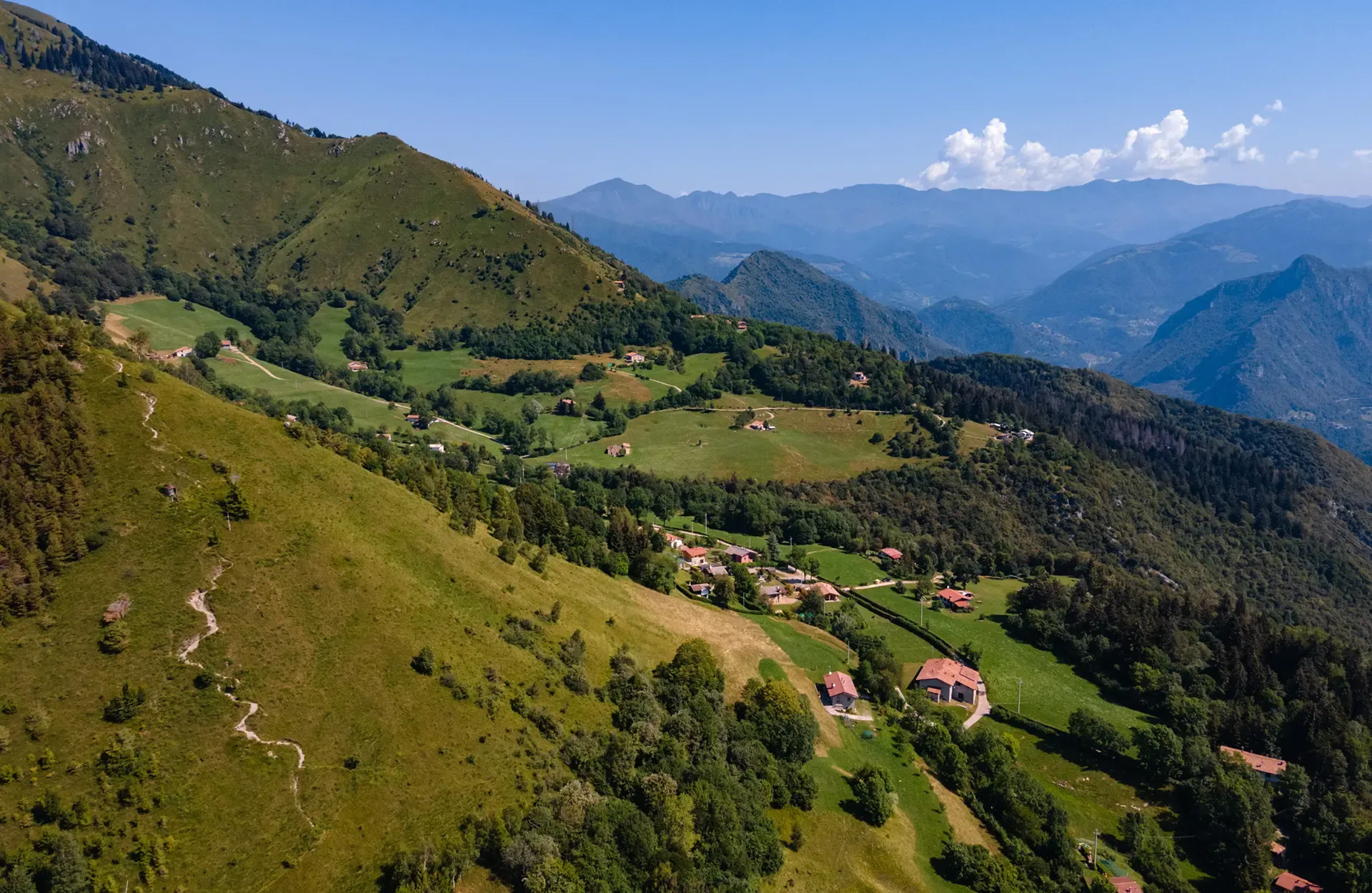
Montecampione – a gem among the valleys of Brescia
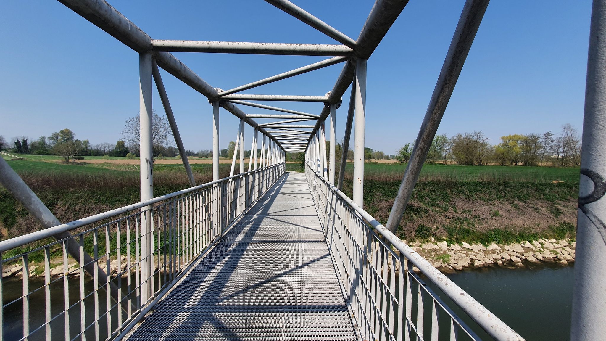
From source to mouth – Oglio Cycle Route
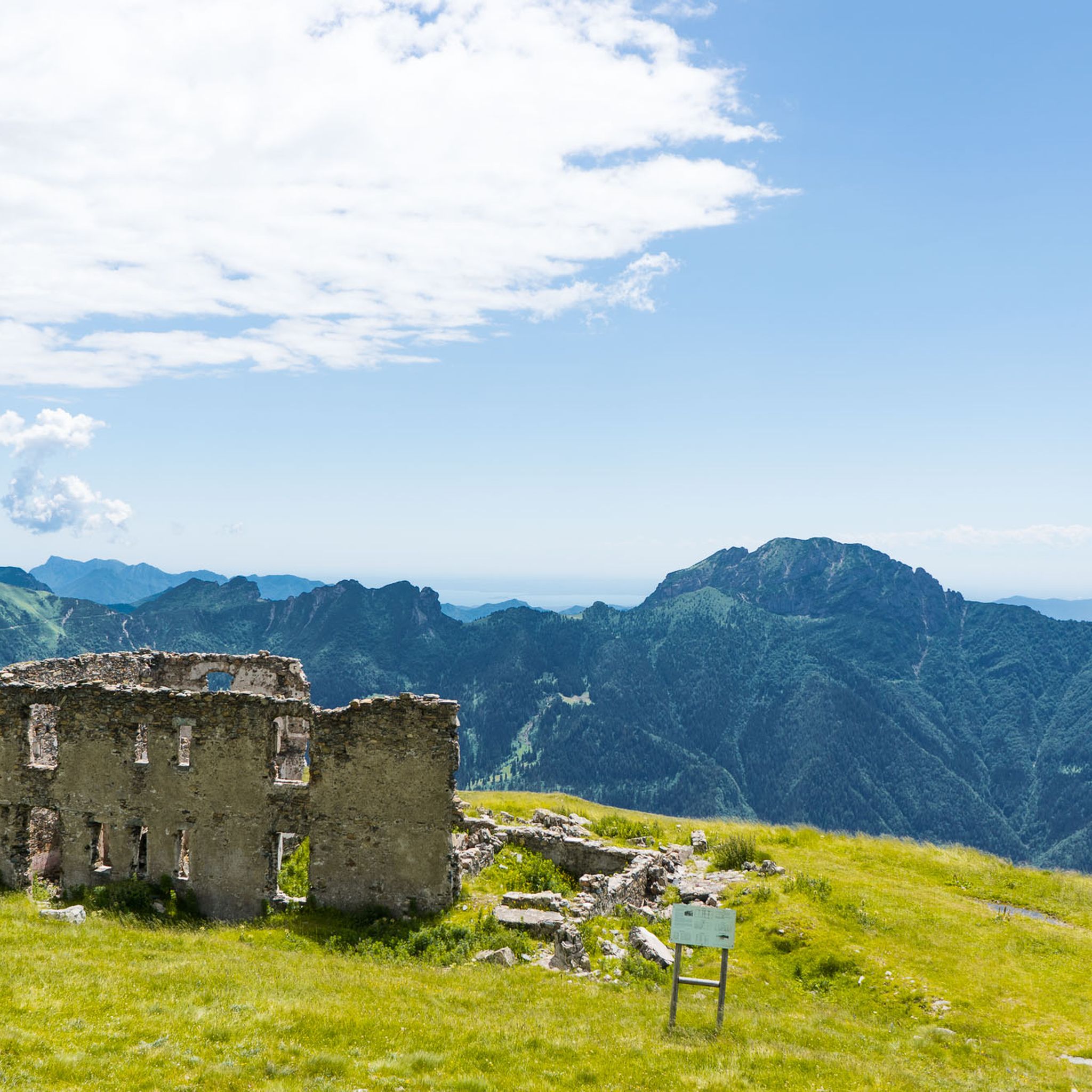
Hiking around Darfo Boario Terme
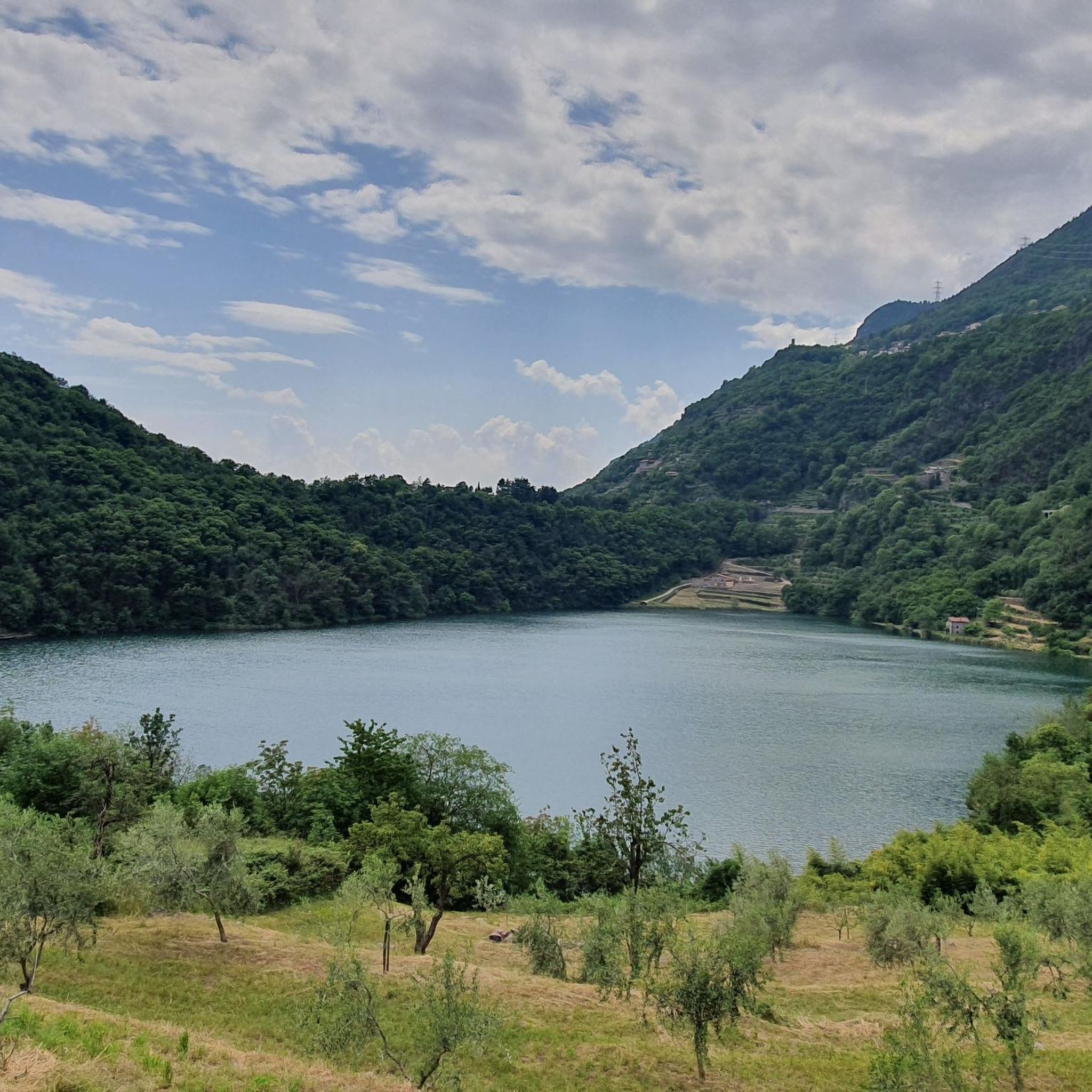
Cycling around Darfo Boario Terme
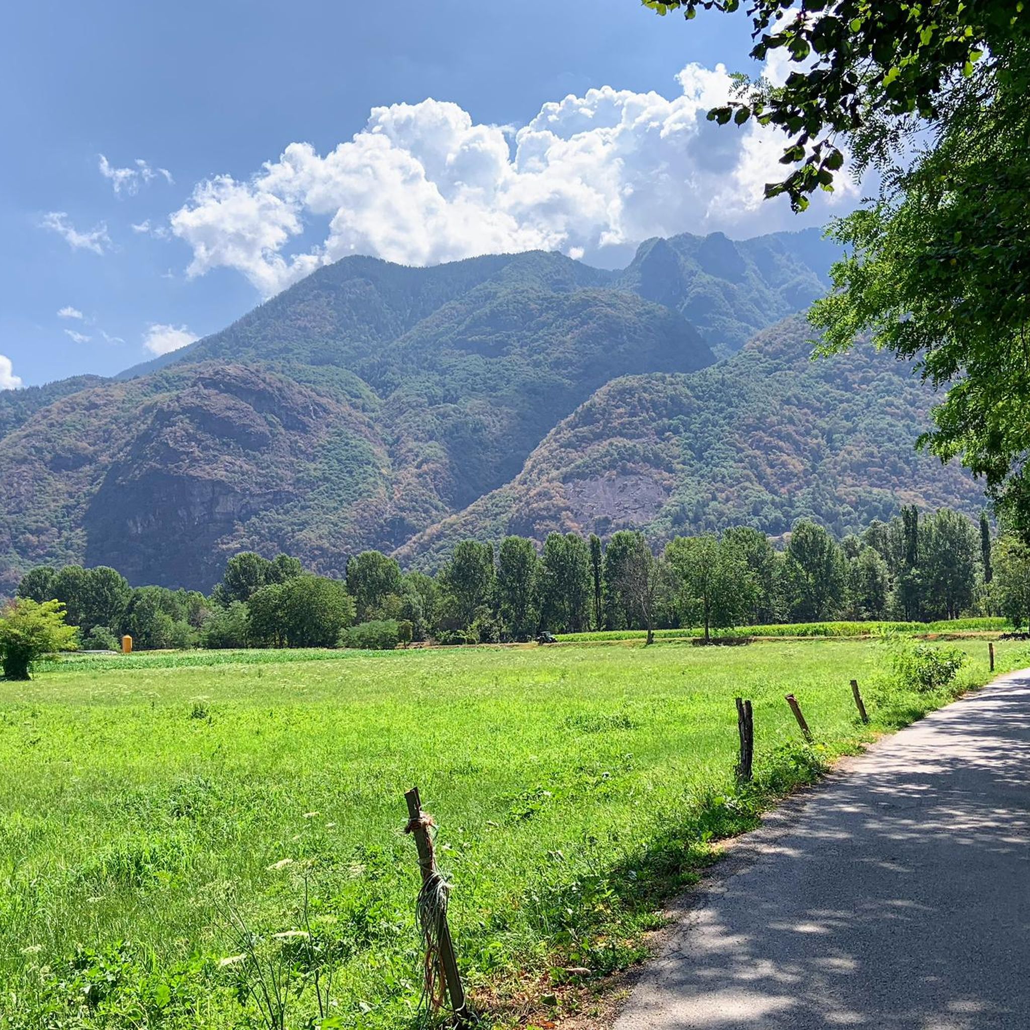
MTB Trails around Darfo Boario Terme
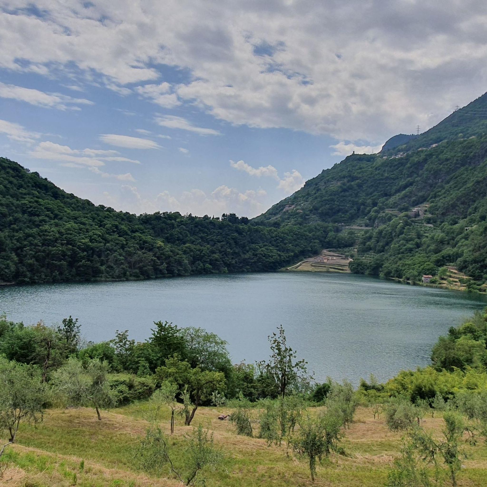
Road Cycling Routes around Darfo Boario Terme
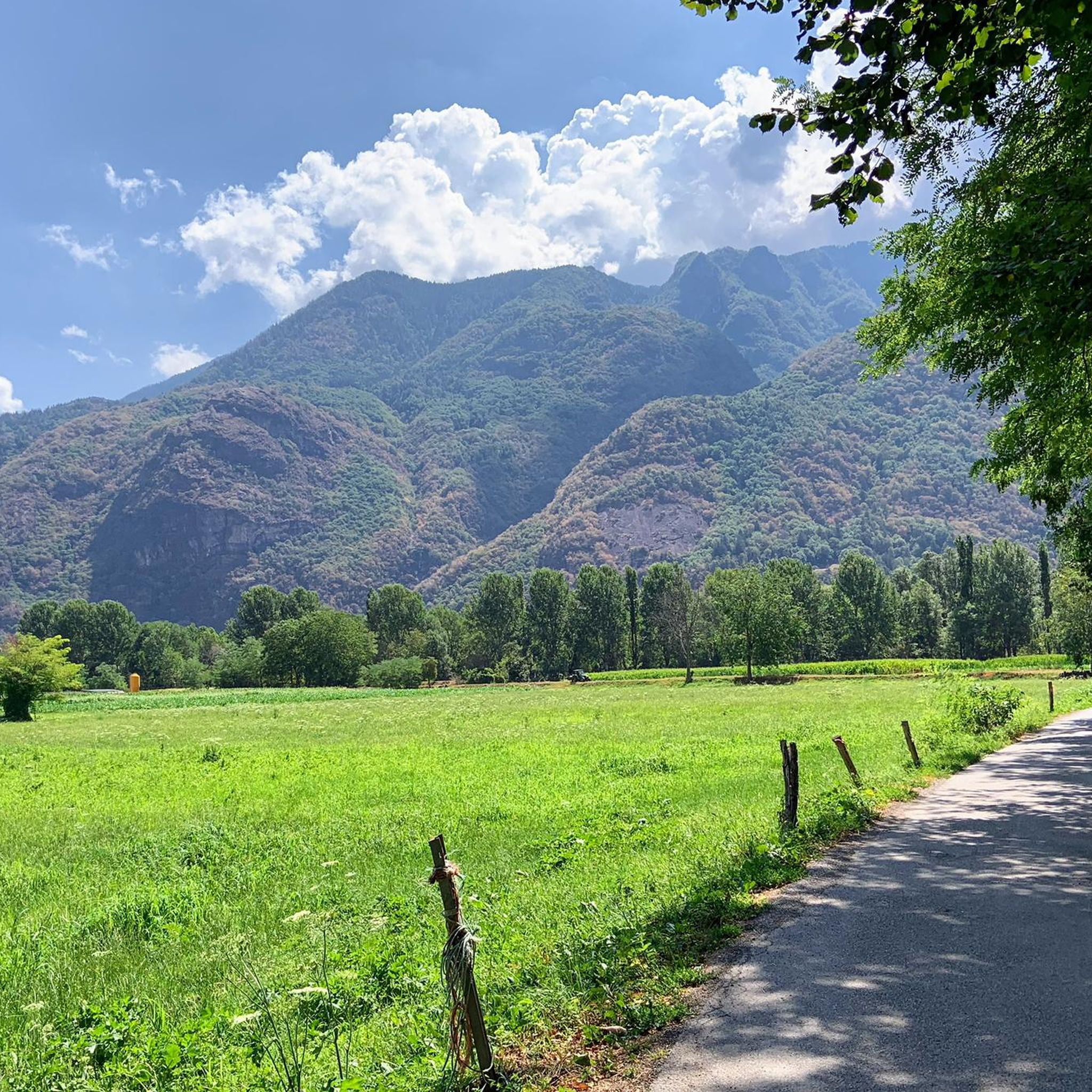
Running Trails around Darfo Boario Terme

Gravel biking around Darfo Boario Terme
Other adventures around Darfo Boario Terme


Tips from the Community


Passo degli Agnelli (1,950 m) is a charming panoramic pass located at the foot of the southern walls of Presolana, in the province of Bergamo. Accessible mainly from Rifugio Rino Olmo or via routes including the Sentiero delle Capre and Rifugio Cassinelli, it offers a unique alpine environment, often frequented for hikes and chamois spotting.
0
0

The trail is suitable for everyone and takes about an hour to reach the refuge. You can either hike along a cobblestone road or through the woods (not recommended if it's snowing in winter because it freezes, and in summer, some sections are very muddy). Be sure to pay extra attention.
0
0

A very characteristic refuge at the foot of the Presolana at 1,940 meters. It can be climbed from Teveno or Colere (in approximately 1 hour 45 and 2 hours 30 minutes). Several peaks can be reached from the refuge; the Curò refuge can be reached via the Giro delle Orobie trail.
0
0

Starting on an easy, low-elevation hike from the parking lot in front of Bar Neve, follow the trail to the Cassinelli Refuge. This tree-shaded trail is one of my favorites for enjoying the mountains, even with those who are struggling. At the refuge, a warm welcome awaits, and authentic Orobic flavors are guaranteed. A must-try if you're looking for a mountain retreat for everyone.
0
0

One of the best refuges in Bergamo! Once you arrive the view is spectacular, on one side the queen of the Orobie, the Presolana, and on the other side a beautiful view of the valley. The cuisine is excellent with typical mountain dishes, the staff very kind and welcoming, you feel at home!
0
0


Two peaks at 2011m altitude nestled in the Colere facilities
0
0
Frequently Asked Questions
How many mountaineering routes can I find around Darfo Boario Terme?
There are several mountaineering routes available around Darfo Boario Terme, offering diverse experiences within the Camonica Valley. These routes range from moderate to difficult, providing options for various skill levels.
What are some of the more challenging mountaineering routes in the area?
For experienced mountaineers, routes like the Cassinelli Hut – Passo Pozzera loop from Passo della Presolana offer a significant challenge, covering 11.6 km with substantial elevation gain. Another demanding option is the Monte Ferrante Summit – Corna Gemelle loop from Colere, which is over 18 km long and features considerable ascents.
Are there any circular mountaineering routes around Darfo Boario Terme?
Yes, many of the mountaineering routes in the region are circular, allowing you to start and end at the same point. Examples include the Punta Caravina – Dosso Pedalta loop from Catena Bresciana Occidentale and the Punta Caravina – Monte Guglielmo loop from Catena Bresciana Occidentale.
What kind of natural landmarks or viewpoints can I expect to see on these routes?
The routes often lead to stunning viewpoints and natural features. You might encounter the prominent Presolana Massif, enjoy panoramic views from peaks like Pizzo Corzene, or visit the Savina Chapel at 2,085 meters. The region also features diverse landscapes including forests, pastures, and unique rock formations.
Are there any huts or shelters along the mountaineering trails?
Yes, mountaineers can find essential shelters such as the Città di Clusone bivouac, strategically located at the foot of the Presolana's south face, and the Dosso Rotondo Hut. These provide important reference points and rest stops on longer expeditions.
What is the best time of year for mountaineering in Darfo Boario Terme?
The best time for mountaineering generally depends on the specific route and your experience. While summer offers ideal conditions for high-altitude treks, some peaks like Pizzo Corzene are popular even in winter for those equipped for snow and ice conditions. Always check local weather and trail conditions before heading out.
Are there any routes that pass by interesting geological features or canyons?
The region is known for its varied geology. Some trails, like the trekking route "Between vineyards and olive trees" in Darfo Boario Terme, cross a real canyon, offering a unique naturalistic panorama. You can also explore highlights like the Gola del Tinazzo.
What do other mountaineers say about the routes in Darfo Boario Terme?
The mountaineering routes around Darfo Boario Terme are highly rated by the komoot community, with an average score of 4.7 stars. Users often praise the rugged mountainous terrain, significant peaks, and scenic alpine lakes that define the area.
Can I find routes that offer views of alpine lakes?
Absolutely. The region features beautiful alpine lakes, such as Lake Moro, which can be admired from various vantage points along the mountaineering routes. These lakes add to the scenic beauty and provide tranquil spots amidst the mountainous landscape.
Are there any historical sites or archaeological parks accessible from mountaineering routes?
While not directly on high mountaineering routes, the broader Darfo Boario Terme area offers unique historical and archaeological sites. The Municipal Park of Luine, a UNESCO site, features ancient rock carvings within a natural setting, combining historical interest with outdoor exploration. Monticolo Hill also has archaeological evidence along its trails.
Are there any waterfalls to see along the mountaineering routes?
While specific mountaineering routes may not directly pass by major waterfalls, the region is home to natural attractions like the stunning Cascata del Davine, which is worth exploring for nature enthusiasts in the area.
Most popular routes around Darfo Boario Terme
Most popular attractions around Darfo Boario Terme

Get inspired with the komoot mobile app


Explore more
Browse the best Mountain Hikes & Routes in other regions.
