The best walks and hikes around Darfo Boario Terme
4.4
(348)
1,927
hikers
65
hikes
Hiking around Darfo Boario Terme offers diverse landscapes within the Oglio valley and Val Camonica. The region features significant mountainous terrain, including peaks like Monte Altissimo, and is shaped by the Oglio River. Hikers can explore the picturesque Lago Moro and unique 'Pietra Simona' red sandstone formations.
Best hiking trails around Darfo Boario Terme
- The most popular hiking route is Monte Altissimo climb from Erbanno (via CAI 155), a 7.5 miles (12.1 km) trail that takes 6 hours 5…
Last updated: October 10, 2026
5.0
(1)
6
hikers
12.1km
06:05
1,380m
1,380m
Alpine climb through dense forest to ridge meadows with sweeping Val Camonica views.
3
hikers
13.1km
05:55
1,310m
1,310m
Hike the difficult Gorzone - Monte Altissimo Trail for 8.1 miles (13.1 km) to panoramic views over Lake Iseo and Valle Camonica.

4.6
(45)
246
hikers
8.24km
02:32
280m
280m
Moderate hike. Good fitness required. Mostly accessible paths. Sure-footedness required.
4.7
(51)
291
hikers
4.74km
01:30
180m
180m
Moderate hike. Great for any fitness level. Mostly accessible paths. Sure-footedness required.
4.2
(18)
56
hikers
Easy hike. Great for any fitness level. Easily-accessible paths. Suitable for all skill levels.
Get access to more routes and recommendations from other explorers.
Already have an account?
Our route recommendations are based on thousands of hikes, rides, and runs completed by other people on komoot.
Start today with a free account
Your next adventure awaits.
Popular around Darfo Boario Terme

Path of the Iron Woods in Northern Italy – Via Decia

A journey through history and nature in Italy – Via Valeriana on foot
Montecampione – a gem among the valleys of Brescia
From source to mouth – Oglio Cycle Route
MTB Trails around Darfo Boario Terme
Cycling around Darfo Boario Terme
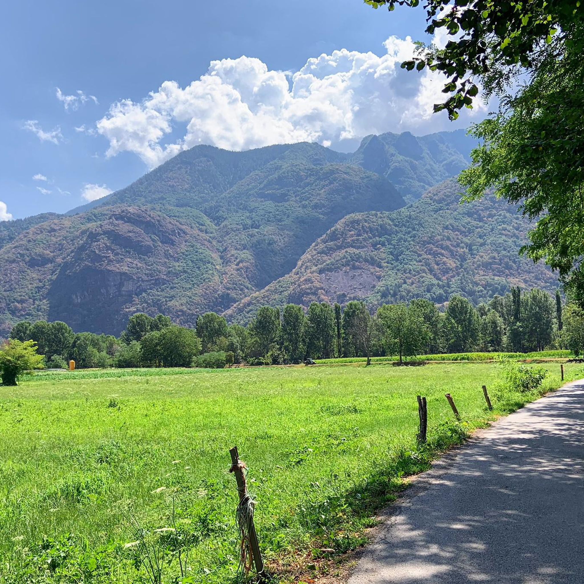
Running Trails around Darfo Boario Terme
Road Cycling Routes around Darfo Boario Terme

Gravel biking around Darfo Boario Terme
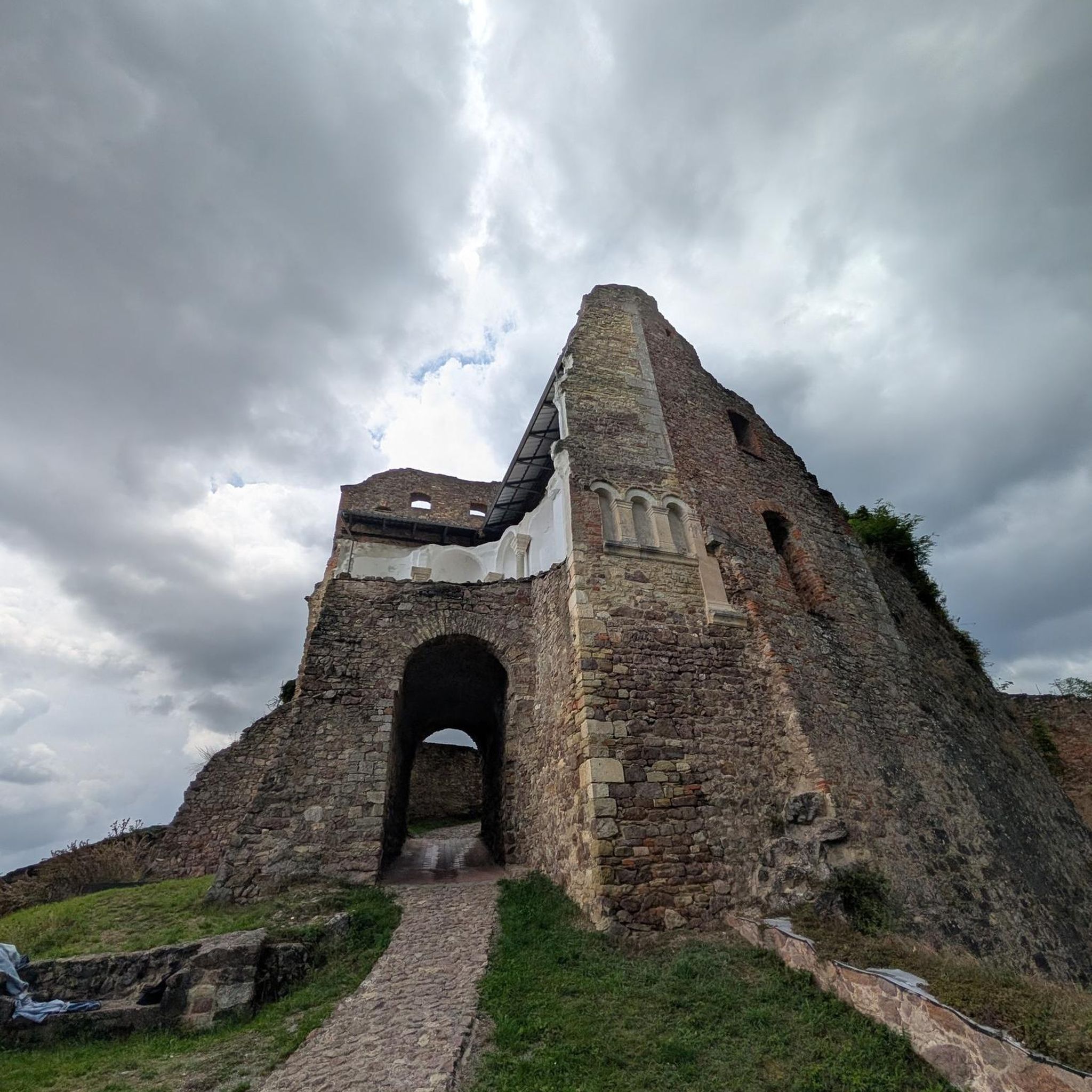
Mountain Hikes around Darfo Boario Terme
Other adventures around Darfo Boario Terme


Tips from the Community

Truly unexpected. The short paved road near the small lake is very steep and very narrow, but worth it.
0
0

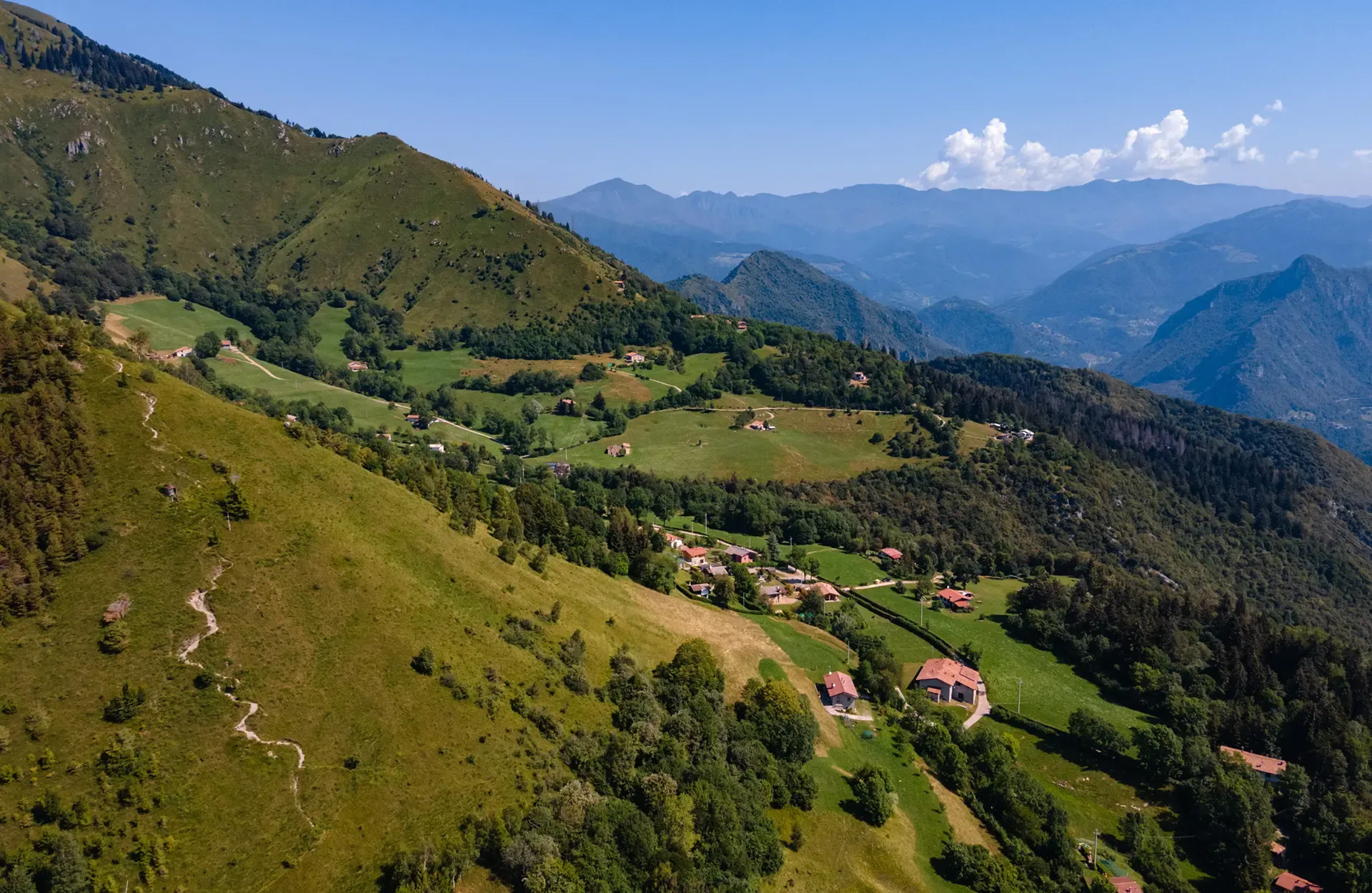
Mount Altissimo is a mountain in the Bergamo Prealps, 1703 m high, located between the lower Val Camonica and the lower Val di Scalve. It is the highest peak of the mountain group that separates these two valleys and overlooks the Borno plateau. Two very different slopes Southern slope: steep, rocky, almost devoid of vegetation, with a difference in altitude of about 1500 m from the Oglio valley floor. Northern slope: gentle slope towards Borno, covered with fir trees and dotted with mountain huts, chalets and ski slopes of the Borno Ski Area. 🚶♂️ Hiking — The main itineraries Mount Altissimo is very popular with hikers thanks to the good network of trails (difficulty E). Here are the best-known and documented routes. 1) From Erbanno – Trail 197 or 155 A steep and challenging itinerary, with a significant difference in altitude. Trail 197: Start: Erbanno (Darfo Boario Terme) Passes through: small church of San Valentino (690 m), Malga Mine, junction with trail 194 From the cross: spectacular view of the lower Val Camonica and Lake Iseo Summit reachable in 15 minutes from the final junction Trail 155 (more direct and strenuous): Difference in altitude: about 1460 m Steep sections, some chains on a slightly exposed traverse Remarkable panorama of the meadows of "Segable" Arrival at the Monte Altissimo refuge and the ski lifts 2) From Gorzone – Trail 154 A wilder route on the south side, with a long and tough climb. 3) From Borno – North slope (ski slope areas) A gentler and more panoramic itinerary, often chosen for loop tours that include refuges, mountain huts and small churches (as in your story). 🏞️ What makes Mount Altissimo special Sharp contrast between the two slopes: one severe and rocky, the other gentle and wooded. Wide panoramas of the lower Val Camonica, Lake Iseo and Presolana. Network of mountain huts and chalets still active in summer. Presence of the Monte Altissimo refuge at the summit, also reached by ski lifts. Possibility of varied loop tours, combining woods, slopes, ridges and small isolated churches.
0
0

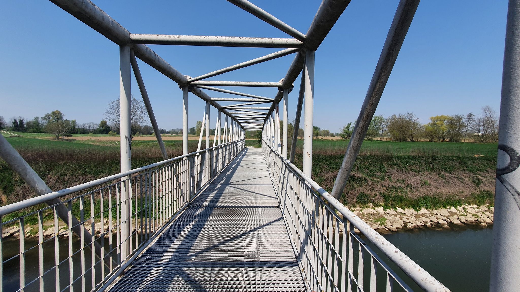
Walkway along the lower lake path.
0
0

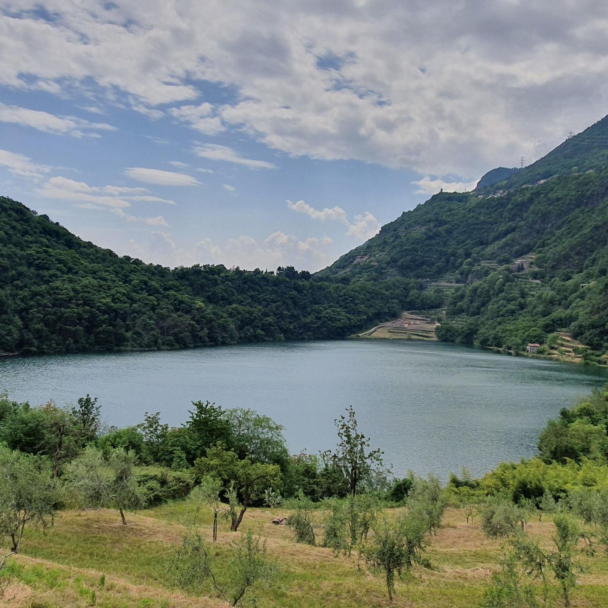
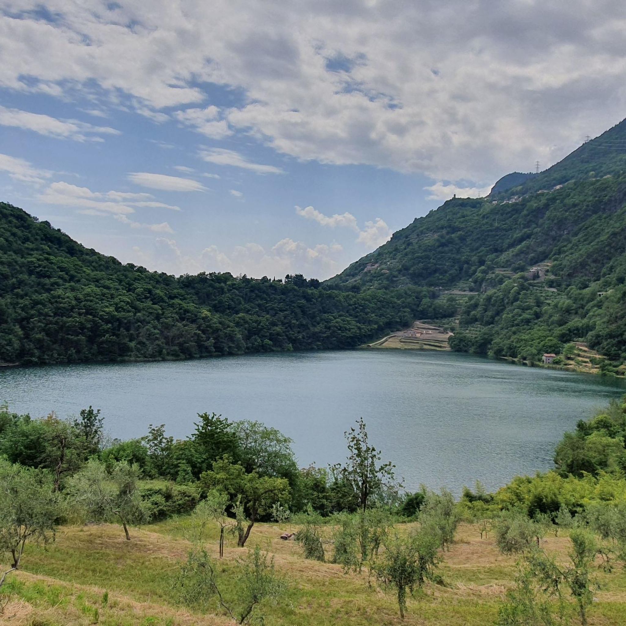
Suggestive spectacle of a lake nestled in the middle.
0
0
The small village of Capo di Lago presumably dates back to the 13th century, while the small church dedicated to Sant'Apollonia dates back in its current structure to the 16th century. It is characterized by two pronaos: one frontal and the other lateral.
1
0

Located at 381 m.a.s.l. in the basin between the Sorline area of Angolo Terme and the Capo di Lago hamlet of Darfo Boario Terme, Lago Moro is surrounded by lush nature. The basin welcomes us with its transparent waters, made dark and mysterious by the profiles of the vegetation.
0
0
The 17th century church of Sant’Apollonia is an obligatory crossroads for all those who decide to spend a day in the open air at Lago Moro.
0
0

The church of Santa Apollonia is an ancient church located near Lake Moro, in the Capo di Lago area. The church is small in size and next to it are the sacristy and the bell tower.
1
0
Frequently Asked Questions
What types of terrain can I expect on hiking trails around Darfo Boario Terme?
The region offers a diverse range of terrain. You'll find significant mountainous areas with peaks like Monte Altissimo, as well as trails along the Oglio River valley and around the picturesque Lago Moro. Unique red sandstone formations, known as 'Pietra Simona', are also characteristic of the local landscape. Some trails, like the 'Between vineyards and olive trees' trek, even feature natural canyons.
Are there any easy hiking trails suitable for beginners or families in Darfo Boario Terme?
Yes, Darfo Boario Terme offers several easy routes. For instance, the Monticolo Observation Tower – Monticolo Parking Lot loop from Darfo Boario Terme is an easy 5.4 km (3.3 miles) hike with minimal elevation gain, perfect for a relaxed outing. Overall, there are over 25 easy routes in the area.
Can I find circular hiking routes around Darfo Boario Terme?
Absolutely. Many trails in the area are designed as loops. A popular option is the Lake Moro – View of Lago Moro loop from Darfo-Corna, which is 8.2 km (5.1 miles) long and offers scenic lakeside views. Another loop around the lake is the View of Lago Moro – Lake Moro loop from Rogno, covering 6.9 km (4.3 miles).
What natural features or landmarks can I see while hiking in the area?
Hikers can explore a variety of natural features and historical landmarks. The region is known for its mountainous terrain, including peaks like Monte Erbanno and Monte Altissimo, and the scenic Oglio River valley. You can also visit the picturesque Lago Moro. For historical interest, the Archaeological Park of Luine, a UNESCO World Heritage site with ancient rock engravings, is a notable attraction. Additionally, the Parco delle Terme di Boario offers tranquil walks amidst evergreen trees and historical structures.
What is the best time of year to go hiking in Darfo Boario Terme?
The Oglio valley and Val Camonica region are generally pleasant for hiking from spring through autumn. During these seasons, the weather is typically mild, making it ideal for exploring both the valley trails and higher mountain paths. While some lower elevation trails might be accessible in winter, higher mountain routes can be challenging due to snow and ice.
Are there any dog-friendly hiking trails in Darfo Boario Terme?
Many trails in the Darfo Boario Terme area are suitable for hiking with dogs, especially those in the valleys and around Lago Moro. It's always recommended to keep your dog on a leash, especially in nature reserves or areas with livestock, and to check local regulations for specific trails or parks.
What are the typical distances and durations for hikes in Darfo Boario Terme?
Hikes in Darfo Boario Terme vary significantly. Easy routes, like the Monticolo loop, can be around 5-8 km (3-5 miles) and take 1.5-2.5 hours. Moderate trails might range from 8-12 km (5-7.5 miles) with durations of 3-5 hours. More difficult mountain ascents, such as the Monte Altissimo climb from Erbanno, can be over 12 km (7.5 miles) and require 6 hours or more due to significant elevation gain.
How difficult are the hiking trails in Darfo Boario Terme?
The trails range from easy to difficult. You'll find over 25 easy routes, around 35 moderate options, and about 10 challenging trails. The mountainous terrain means that many routes involve significant elevation changes, especially those leading to peaks like Monte Altissimo, which are rated as difficult.
What do other hikers say about the trails in Darfo Boario Terme?
The hiking routes in Darfo Boario Terme are highly rated by the komoot community, with an average score of 4.4 stars from over 250 reviews. Hikers often praise the diverse landscapes, from tranquil lakeside paths to challenging mountain ascents, and the well-maintained network of trails that cater to various skill levels.
Are there any mountain passes I can reach on a hike?
Yes, the region features several notable mountain passes that can be reached via hiking trails. These include Passo degli Agnelli, Presolana Pass, and Croce di Salven Pass. These passes often offer rewarding views and are part of more demanding mountain excursions.
Is public transport available to reach hiking trailheads?
Darfo Boario Terme is a well-connected hub within Val Camonica. While specific public transport links directly to every trailhead might vary, the town itself is accessible, and local bus services often connect to nearby villages from which many trails begin. Planning your route in advance and checking local transport schedules is advisable.
Are there parking facilities available near hiking trailheads?
Yes, for many popular hiking areas and trailheads around Darfo Boario Terme, you can typically find designated parking areas. For example, trails around Lago Moro and those starting from villages like Erbanno or Gorzone usually have parking options nearby, though availability can vary, especially during peak season.
Most popular routes around Darfo Boario Terme
Most popular attractions around Darfo Boario Terme

Get inspired with the komoot mobile app


Explore more
Browse the best Hikes in other regions.
