The best MTB trails around Sarzana
4.2
(129)
472
riders
39
rides
Mountain biking around Sarzana offers diverse landscapes, situated at the border of Liguria and Tuscany. The region features varied topography with significant elevation changes, ideal for challenging routes. Riders can explore coastal areas with views of the Gulf of La Spezia, as well as inland trails through natural parks and wetlands. The dramatic backdrop of the Apuan Alps further defines the terrain.
Best mountain bike trails around Sarzana
- The most popular mountain bike trail is Montemarcello Loop from Sarzana,…
Last updated: October 10, 2026
3.5
(6)
27
riders
45.5km
03:05
560m
560m
Hard mountain bike ride. Good fitness required. Advanced riding skills necessary. Some portions of the route may require you to push your bike.
4.6
(14)
46
riders
46.2km
04:24
1,180m
1,180m
Hard mountain bike ride. Very good fitness required. Advanced riding skills necessary. Some portions of the route may require you to push your bike.

4.8
(26)
48
riders
Moderate mountain bike ride. Good fitness required. Suitable for all skill levels.
4.2
(9)
30
riders
56.3km
04:46
1,680m
1,680m
Hard mountain bike ride. Very good fitness required. Suitable for all skill levels.
4.6
(5)
23
riders
26.7km
01:38
220m
220m
Easy mountain bike ride. Great for any fitness level. Suitable for all skill levels.
Get access to more routes and recommendations from other explorers.
Already have an account?
Our route recommendations are based on thousands of hikes, rides, and runs completed by other people on komoot.
Start today with a free account
Your next adventure awaits.
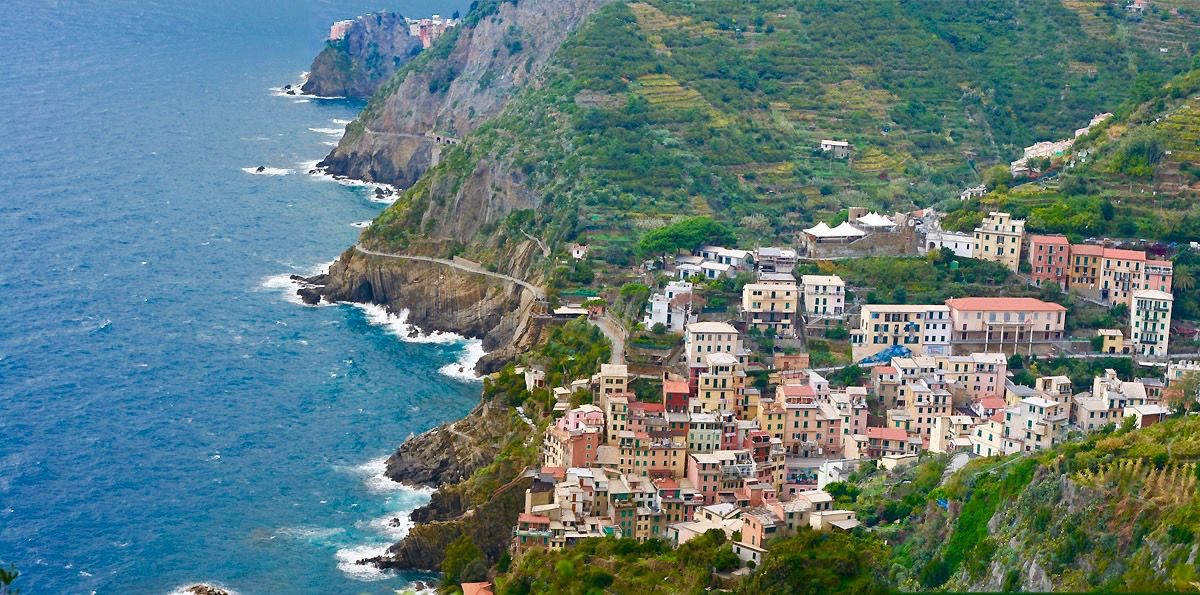
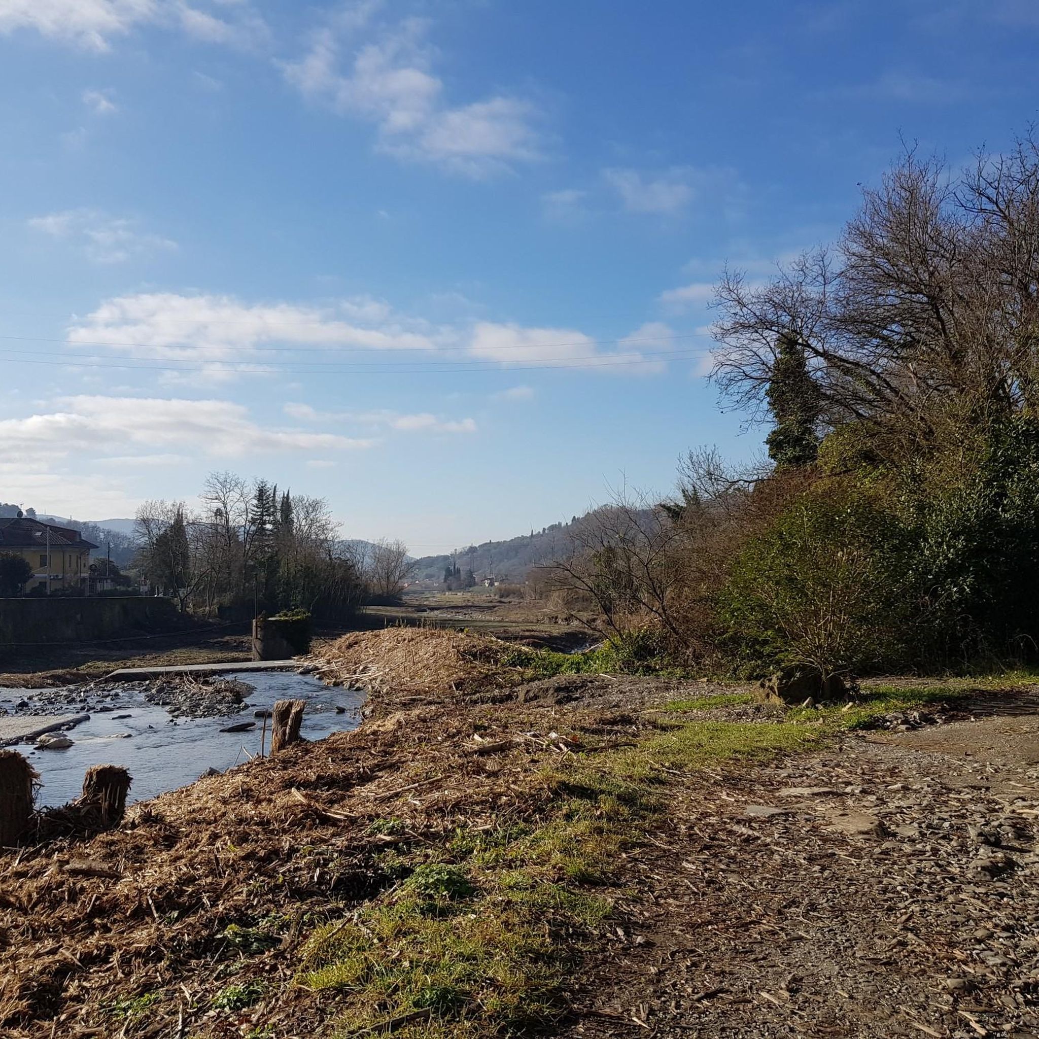
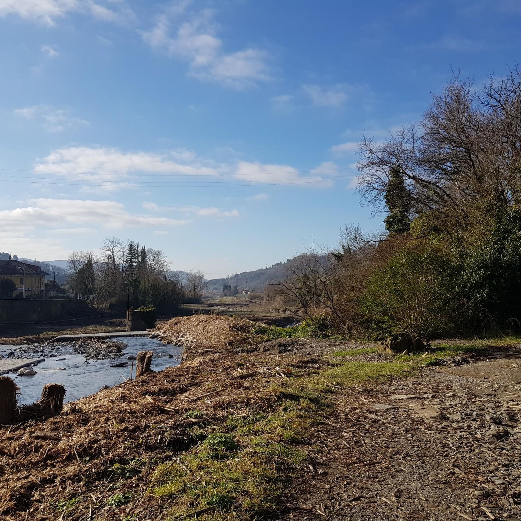
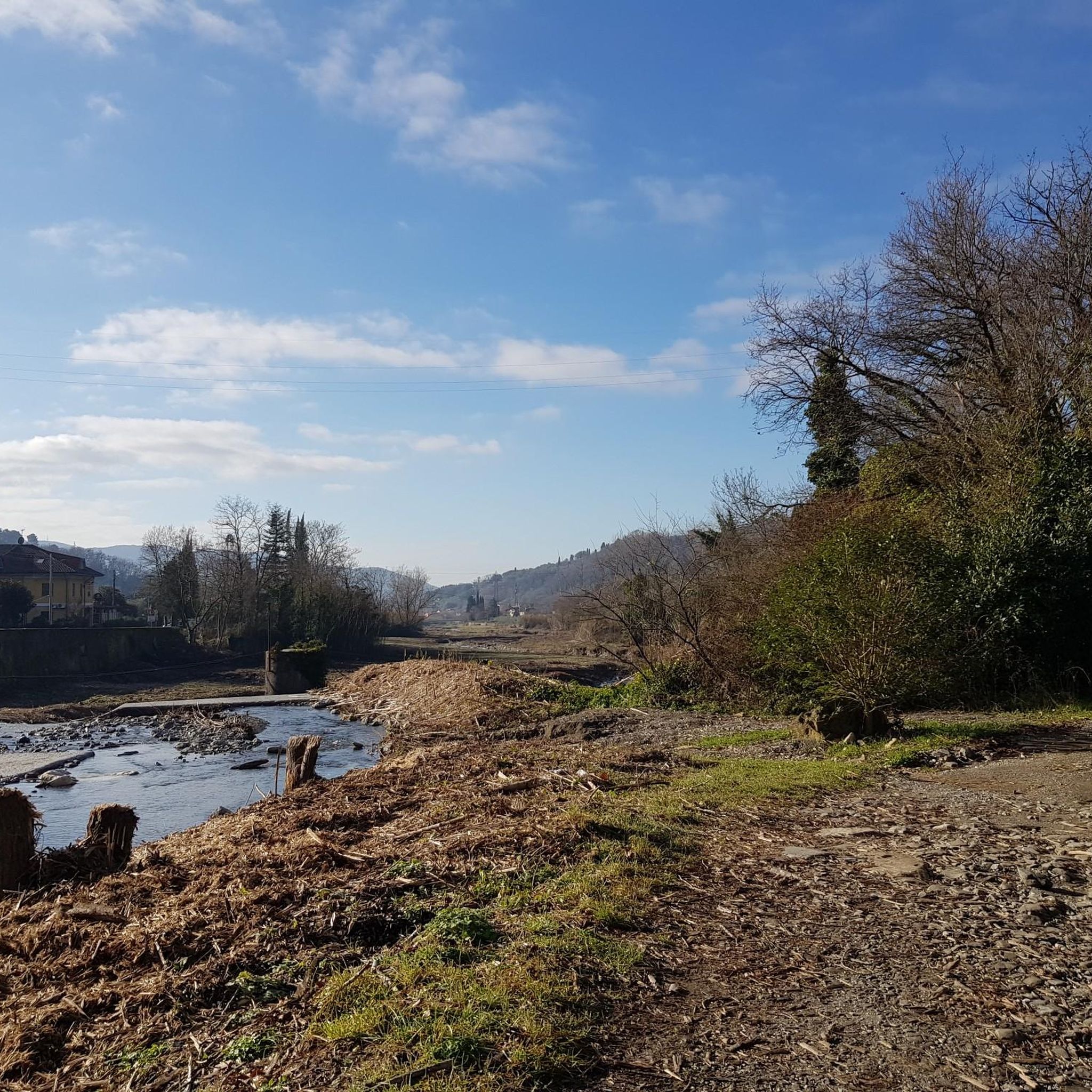

Other adventures around Sarzana

Tips from the Community

Il monumento noto storicamente anche in riferimento al colle come castello di San Martino corrisponde alla celebre Fortezza di Sarzanello. Si tratta di un'imponente struttura fortificata di origine medievale situata sulla sommità del colle di Sarzanello, che domina dall'alto la città di Sarzana e l'intera Val di Magra
0
0
Montemarcello the main panoramic point is located a few minutes' walk from the center of the village, behind the Relais del Golfo hotel.
0
0
The Lunense Canal cycle-pedestrian path in Sarzana is a flat and easy route of about 12-20 km that follows the banks of the historic irrigation canal through the Val di Magra. Route Characteristics Length: Approximately 12 km in the main section of the park (extendable up to almost 20-25 km in total from Santo Stefano di Magra to Luni). Difficulty: Easy and flat, suitable for everyone on foot or by bicycle. Municipalities crossed: Santo Stefano di Magra, Sarzana, Castelnuovo Magra, Fosdinovo, and Luni. Surface: Mixed, with paved sections, dirt tracks, and short interruptions on ordinary roads in the Sarzana area. What to See Countryside and nature: The route winds through cultivated fields, small rural bridges, and the typical vegetation of the valley. Engineering history: It runs alongside the Lunense Canal, an important hydraulic work inaugurated in 1930. Connections: The route easily connects to the Via Francigena and other local itineraries
0
0

The tour is not for everyone. The climb from Caniparola is very tough, at the beginning it starts immediately at 11%
1
0
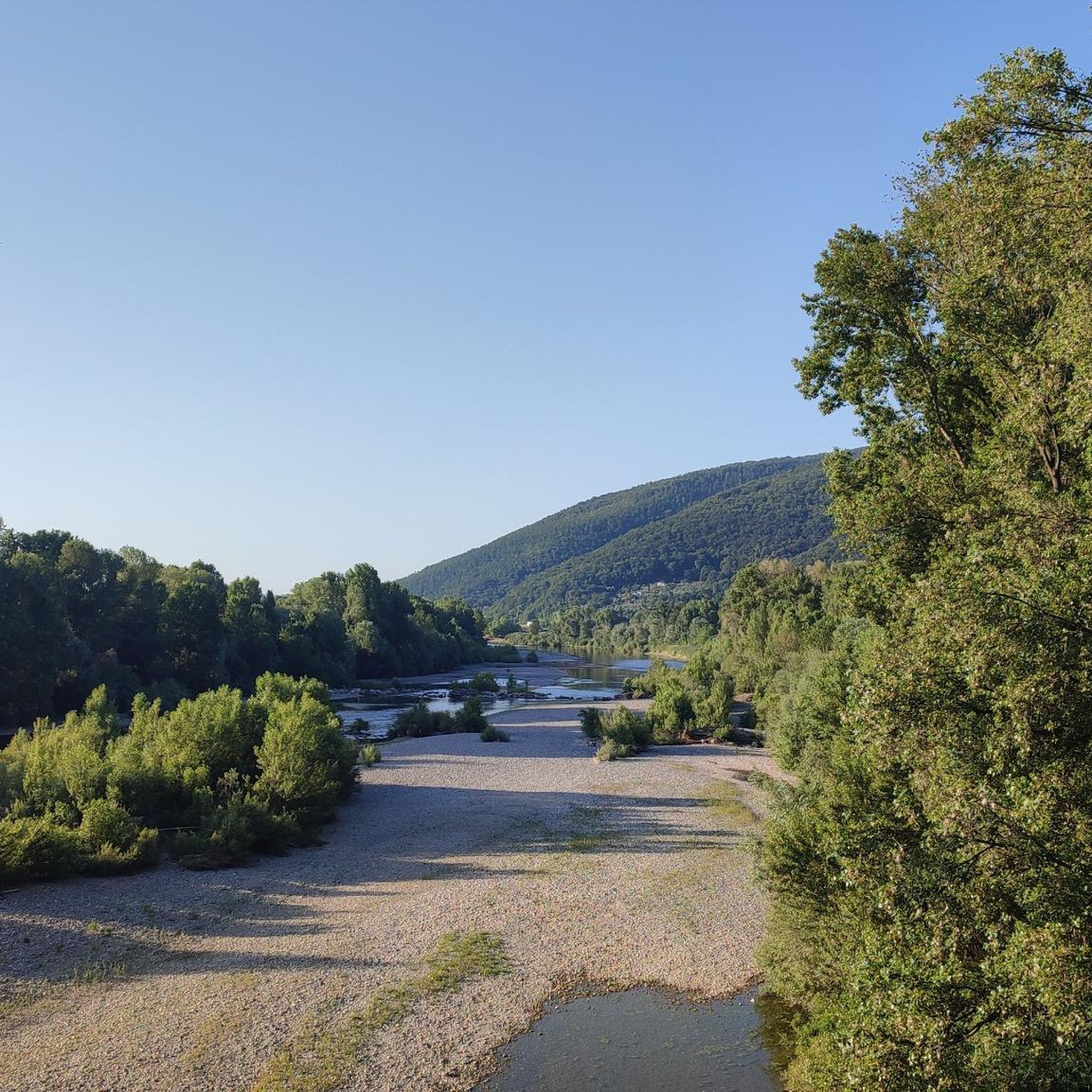
The Magra river is an important watercourse in central Italy, 62 kilometers long, flowing between Tuscany and Liguria. It represents Liguria's main watercourse by average flow rate at the mouth. It originates at an altitude of 1,401 meters from Monte Borgognone, crosses the fertile Val di Magra, and flows into the Ligurian Sea at the locality of Bocca di Magra
0
0
Bocca di Magra is a charming coastal hamlet in the municipality of Ameglia, located in the province of La Spezia at the mouth of the river of the same name, Magra. An ancient fishing village, the locality lies on the border between Liguria and Tuscany, immersed in the greenery of the Montemarcello-Magra-Vara Regional Natural Park.
0
0

These beautiful marble sculptures are located within the roundabout used for turning around (be careful NOT to park here, otherwise you will obstruct the maneuvers of large vehicles, such as buses. From the roundabout, spectacular view of the sea!).
0
0
The Citadel, also known as the Sarzana Fortress or Firmafede Fortress, was the first fortification in Sarzana, built in the 13th century. It was owned by the lord Castruccio Castracani, who made numerous significant modifications to its defenses. After its destruction by Florence in 1487, it was rebuilt on the orders of Lorenzo de' Medici. In 1494, the Republic of Genoa, having regained possession of Sarzana, completed work on the Citadel. The fortress is used as a venue for cultural events and exhibitions and also houses the Fortress Museum, an interactive exhibit that traces the history of Sarzana and the Lunigiana region.
1
0
Frequently Asked Questions
How many mountain bike trails are available around Sarzana?
Sarzana offers a diverse network of over 40 mountain bike trails. These routes cater to various skill levels, with 10 easy, 10 moderate, and 26 difficult options, ensuring there's a suitable ride for almost every mountain biker.
What kind of terrain and landscapes can I expect on mountain bike trails around Sarzana?
The terrain around Sarzana is highly varied, ranging from challenging routes with significant elevation changes to picturesque coastal paths offering views of the Gulf of La Spezia. You'll also find trails winding through natural parks, wetlands like the Bozzi di Saudino, and with the dramatic backdrop of the Apuan Alps. Some trails, such as Ponzano Bypass, feature steep grades averaging 14.1%.
Are there any family-friendly mountain bike trails in Sarzana?
Yes, Sarzana offers 10 easy mountain bike trails that are generally suitable for families or those looking for a less strenuous ride. These routes typically have less elevation gain and are designed to be more accessible, allowing families to enjoy the scenic surroundings together.
What are some notable natural features or viewpoints I can see while mountain biking in Sarzana?
Many trails offer stunning natural features and viewpoints. You can experience coastal views along routes like the View of the Gulf of La Spezia – Loc. Cambia' Trail Junction loop from Sarzana. The region also features the unique Bozzi di Saudino wetlands and offers glimpses of the Apuan Alps. For specific viewpoints, consider visiting the Gulf of Poets - Viewpoint or the Lerici Promenade and Harbor.
Are there any trails with significant elevation gain for advanced riders?
Absolutely. Sarzana is known for its challenging routes with substantial elevation gain. For instance, the Gravel Trail to Forte Bastione – Rifugio Carrara CAI loop from San Lazzaro involves over 1,600 meters of ascent. Many difficult trails require very good fitness and advanced skills, with some offering over 3,000 feet of elevation gain.
What is the best time of year to go mountain biking in Sarzana?
The best time for mountain biking in Sarzana is typically from May to August, when the weather is most favorable. However, the region's mild climate allows for riding during much of the year. Always check local weather conditions, especially during winter, as some higher elevation trails might be affected.
Are there any circular mountain bike routes available?
Yes, many of the mountain bike trails around Sarzana are designed as loops. Popular examples include the Montemarcello Loop from Sarzana and the View of the Gulf of La Spezia – Garibaldi Square, Lerici loop from Sarzana, which allow you to start and finish at the same point.
What do other mountain bikers say about the trails in Sarzana?
The mountain bike trails in Sarzana are highly regarded by the komoot community, with an average rating of 4.3 stars from over 200 reviews. Riders often praise the diverse topography, the stunning coastal views, and the variety of routes available for different skill levels.
Are there any historical sites or attractions near the mountain bike trails?
Yes, Sarzana is rich in history and attractions. You can find historical sites like the Fortress of Sarzanello, which offers great views. The Ameglia Historic Centre is another notable historical site. Some routes, like the Ameglia Historic Centre – Ameglia Hilltop Village loop from San Lazzaro, even pass through or near these points of interest.
Can I find waterfalls along the mountain bike routes?
While the region is known for its diverse landscapes, there is a specific natural highlight called Traaton Waterfall listed as a natural monument near Sarzana. You might be able to incorporate a visit to this waterfall into your mountain biking adventure, depending on its proximity to specific trails.
Are there opportunities for wild swimming near the mountain bike trails?
While specific wild swimming spots directly adjacent to mountain bike trails are not detailed, the nearby beaches of Fiumaretta and Marinella di Sarzana offer opportunities for watersports and swimming. You could plan your ride to conclude near these coastal areas for a refreshing dip.
Is public transport available to access mountain bike trails in Sarzana?
Sarzana is well-connected, and public transport options like trains and buses can help you reach the town. However, access to specific trailheads might require further planning. It's advisable to check local public transport schedules and routes to see how they align with your chosen mountain bike trail starting points.
Most popular attractions around Sarzana

Get inspired with the komoot mobile app


Explore more
Browse the best MTB trails in other regions.
