The best mountain hikes around Comeglians
4.9
(41)
339
hikers
10
hikes
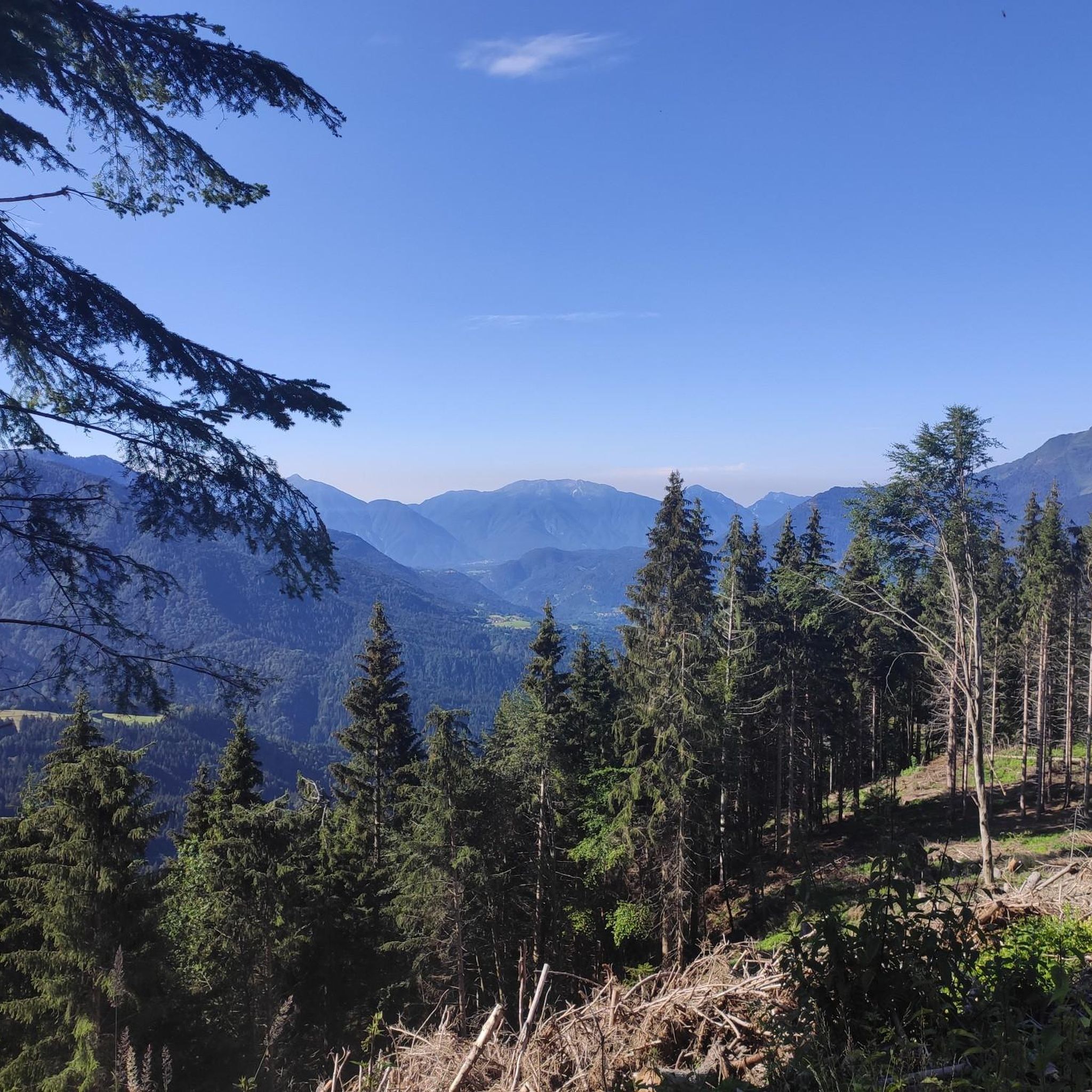
Mountaineering routes around Comeglians are set within the dramatic and diverse natural landscape of Italy's Carnic Alps. This region features majestic peaks like Monte Coglians and Monte Crostis, offering challenging ascents and expansive views. The terrain is characterized by high alpine landscapes, narrow ridgelines, and pristine glacial lakes nestled amidst pastures.
Best mountaineering routes around Comeglians
- The most popular mountaineering route is Trail junction – Mount Cellon loop from Passo di Monte Croce Carnico / Plöckenpass / Pas di Mont…
Last updated: October 8, 2026
4.7
(6)
99
hikers
Hard mountaineering route. Good fitness required. Sure-footedness, sturdy shoes and alpine experience required.
5.0
(9)
65
hikers
Hard mountaineering route. Good fitness required. Sure-footedness, sturdy shoes and alpine experience required.

5.0
(8)
59
hikers
Hard mountaineering route. Good fitness required. Sure-footedness, sturdy shoes and alpine experience required.
5.0
(5)
34
hikers
Hard mountaineering route. Very good fitness required. Sure-footedness, sturdy shoes and alpine experience required.
4.7
(3)
14
hikers
Hard mountaineering route. Good fitness required. Sure-footedness, sturdy shoes and alpine experience required.
Get access to more routes and recommendations from other explorers.
Already have an account?
Our route recommendations are based on thousands of hikes, rides, and runs completed by other people on komoot.
Start today with a free account
Your next adventure awaits.
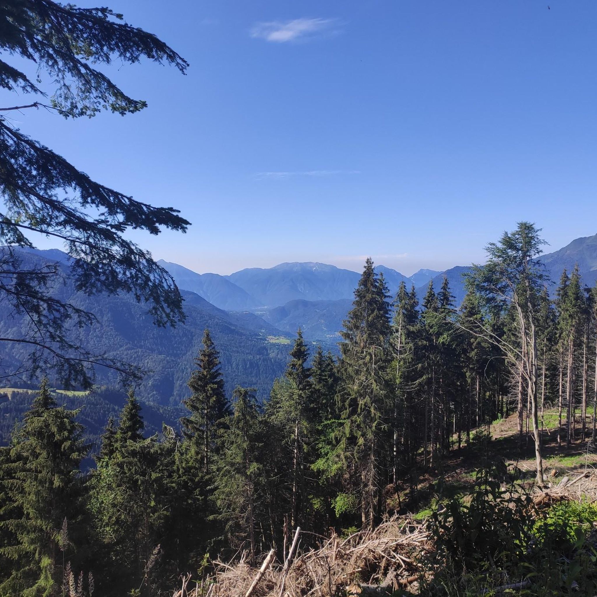
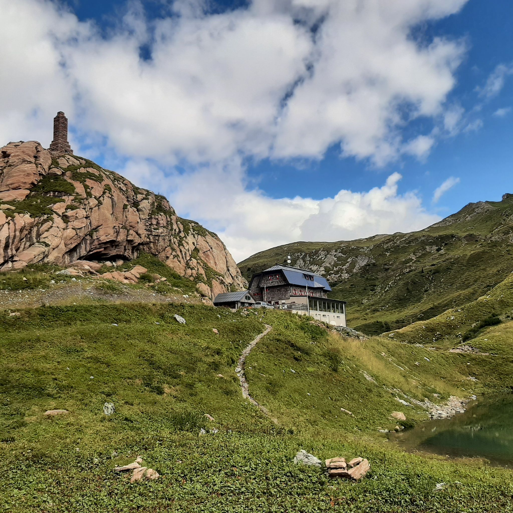
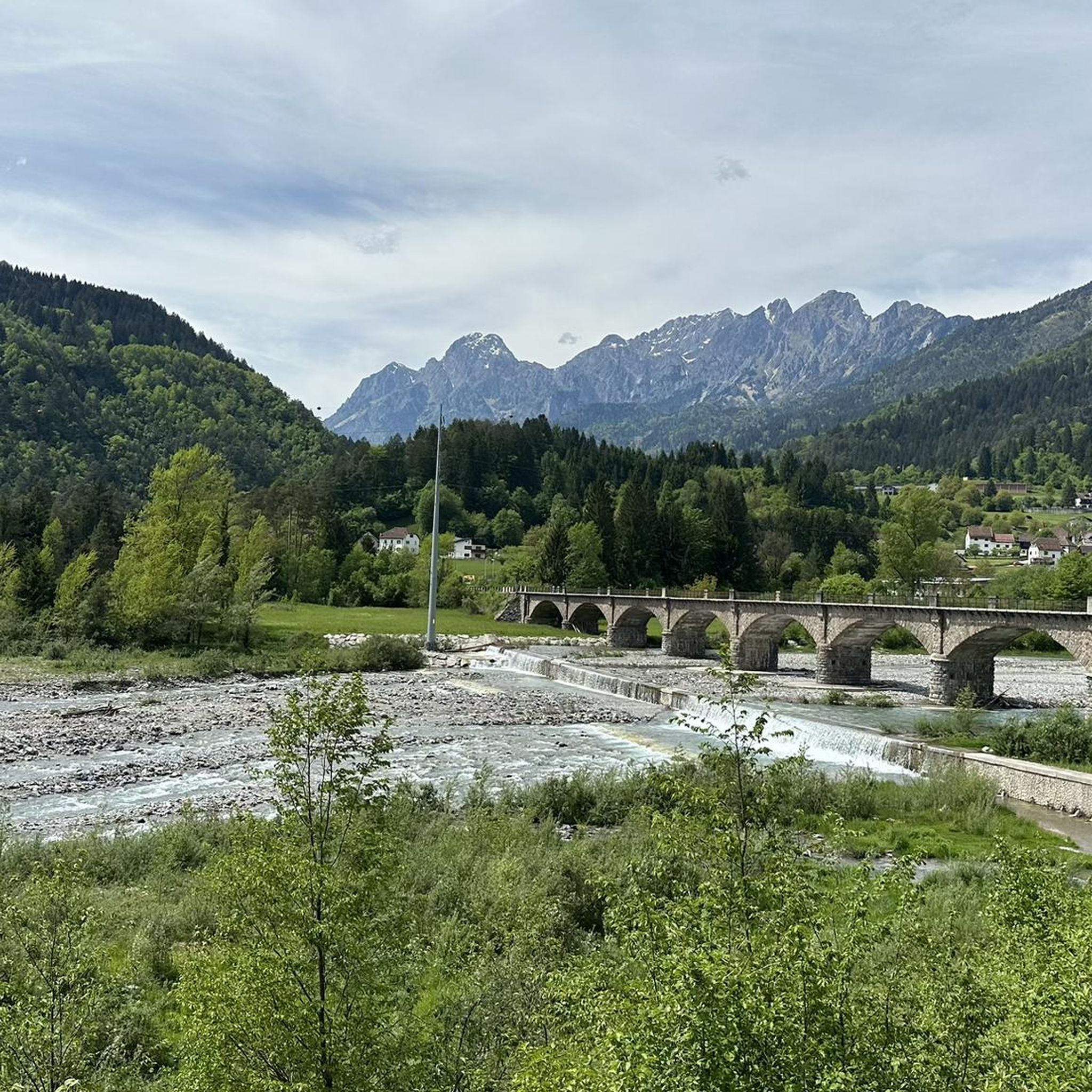

Tips from the Community

On clear days, the summit of Creta di Collinetta offers unique panoramas. This entire area was a theatre of war during the Great War.
0
0

Starting point for a very steep trail to the Kleiner Pal. Certainly not the easiest ascent but with a very beautiful view of the Austrian part of the Plöckenpass road.
0
0

A wartime tunnel from World War I
0
0

Difficult hike category! Trekking poles/hiking sticks are recommended, especially for the descent. The final climb is very steep and has a lot of loose rock. Start early so you can walk the first section in the shade.
0
0


Unique and historic, a must see!
0
0
Steinberger Weg closed as of June 2024
0
0
Now continue uphill and follow the hiking trails to the descent.
0
0
Frequently Asked Questions
What kind of terrain can I expect on mountaineering routes near Comeglians?
Mountaineering routes around Comeglians are characterized by dramatic and diverse natural landscapes. You will encounter majestic peaks, high alpine terrain, rugged mountain environments, and narrow ridgelines. The region also features pristine glacial lakes and some forested sections, offering a varied experience.
Are there any easy mountaineering routes around Comeglians for beginners?
The routes in Comeglians are primarily suited for experienced mountaineers, with 14 out of 15 routes rated as difficult. While there is one moderate route, it's important to be prepared for challenging conditions, significant elevation gains, and rugged terrain typical of the Carnic Alps.
What are some of the most challenging mountaineering routes in the Comeglians area?
For experienced mountaineers seeking a challenge, the region offers several demanding options. The Trail junction – Mount Cellon loop is a difficult 5.1-mile (8.3 km) route with significant elevation gain. Another challenging path is the Wolayer Lake – Fossil Rocks loop from Collina / Culino, a 7.7-mile (12.3 km) path traversing high alpine scenery.
Can I find routes that pass by glacial lakes in Comeglians?
Yes, the region is known for its beautiful glacial lakes. The Wolayer Lake – Fossil Rocks loop from Collina / Culino specifically passes by the beautifully situated Lake Wolayer. Other glacial lakes like Lake Tarondon and Crasulina can also be found within scenic hiking loops.
Are there circular mountaineering routes available in Comeglians?
Yes, several routes in the area are circular. Examples include the Trail junction – Mount Cellon loop and the Wolayer Lake – Fossil Rocks loop from Collina / Culino. These loops allow you to start and end at the same point, offering diverse views along the way.
What points of interest or natural attractions can I see along the mountaineering routes?
Along the routes, you can discover several natural and historical points of interest. Notable attractions include the stunning Lake Wolayer and Lago Avostanis. You might also encounter mountain huts like Wolayersee Hut and Edoardo Tolazzi Hut, which serve as excellent rest stops.
Are there any routes with historical significance in the Comeglians region?
Yes, some routes traverse historical mountain landscapes. The Pal Piccolo (Kleiner Pal) – Trail junction loop from Passo di Monte Croce Carnico is a 3.2-mile (5.2 km) trail that winds through areas bearing traces of the Great War, adding a historical dimension to your mountaineering experience.
Where can I find parking for mountaineering trails in Comeglians?
Many routes start from accessible points with parking. For example, several trails, including the Trail junction – Mount Cellon loop, begin from Passo di Monte Croce Carnico. The Tolazzi Hut is also a common starting point for routes like the Via Ferrata of Coglians, and typically offers parking facilities.
Are there mountain huts available for overnight stays or rest stops?
Yes, the region is well-equipped with mountain huts that can serve as convenient starting points, rest stops, or even for multi-day excursions. Notable huts include the Wolayersee Hut, Lambertenghi-Romanin Hut, and Edoardo Tolazzi Hut.
What is the best time of year for mountaineering in Comeglians?
The best time for mountaineering in Comeglians is typically during the warmer months, from late spring to early autumn (June to September), when the high alpine trails are generally free of snow and the weather is more stable. Always check local weather forecasts and trail conditions before heading out, as conditions can change rapidly in the mountains.
What do other mountaineers enjoy the most about mountaineering in Comeglians?
The mountaineering routes in Comeglians are highly rated by the komoot community, with an average score of 4.9 stars from over 60 reviews. Reviewers often praise the dramatic and diverse natural landscapes, the challenging ascents, and the expansive views from majestic peaks like Monte Coglians and Monte Crostis, as well as the pristine glacial lakes.
Most popular routes around Comeglians
Most popular attractions around Comeglians

Get inspired with the komoot mobile app


Explore more
Browse the best Mountain Hikes & Routes in other regions.
