The best cycling routes around Comeglians
4.4
(328)
4,829
riders
92
rides
Touring cycling routes around Comeglians are set within the Carnia region of Friuli Venezia Giulia, Italy, characterized by high alpine landscapes, dense forests, and picturesque valleys. The area features challenging mountain ascents like Monte Zoncolan and Monte Crostis, alongside scenic routes following the But River. This terrain offers a diverse range of cycling experiences for various skill levels.
Best touring cycling routes around Comeglians
- The most popular touring cycling route is Monte Zoncolan Pass Road – Arch start of ascent…
Last updated: July 5, 2026
5.0
(3)
769
riders
28.7km
02:51
1,360m
1,360m
Hard bike ride. Very good fitness required. Mostly paved surfaces. Suitable for all skill levels.
5.0
(23)
252
riders
32.0km
03:00
1,370m
1,370m
Hard bike ride. Very good fitness required. Mostly paved surfaces. Suitable for all skill levels.

Sign up for free
5.0
(4)
238
riders
16.6km
01:55
1,050m
1,050m
Hard bike ride. Very good fitness required. Mostly paved surfaces. Suitable for all skill levels.
162
riders
Hard bike ride. Very good fitness required. Mostly paved surfaces. Suitable for all skill levels.
5.0
(1)
30
riders
23.0km
02:33
1,080m
1,080m
Hard bike ride. Very good fitness required. Mostly paved surfaces. Suitable for all skill levels.
Get access to more routes and recommendations from other explorers.
Sign up for free
Already have an account?
Our route recommendations are based on thousands of hikes, rides, and runs completed by other people on komoot.
Start today with a free account
Your next adventure awaits.
Login or Signup
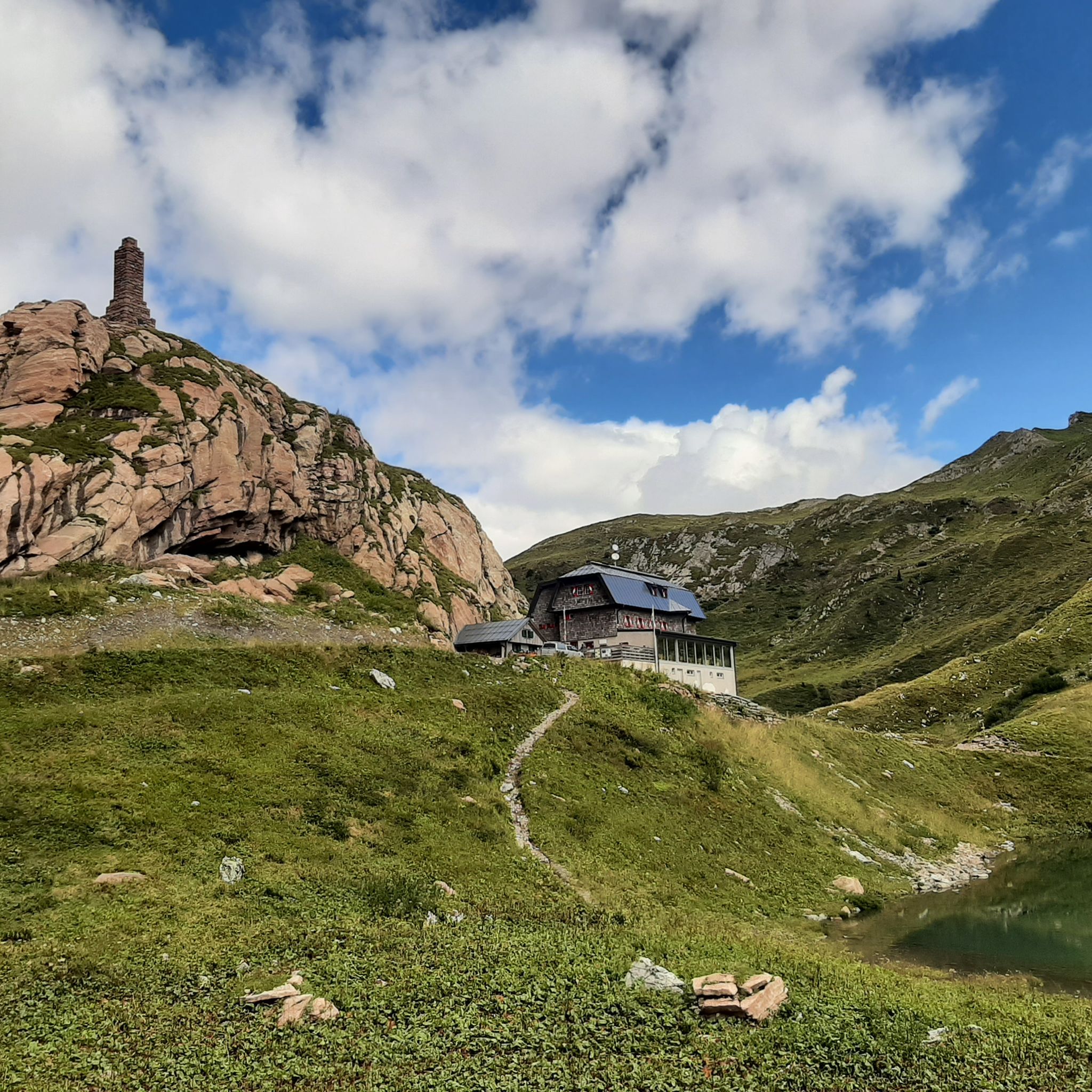
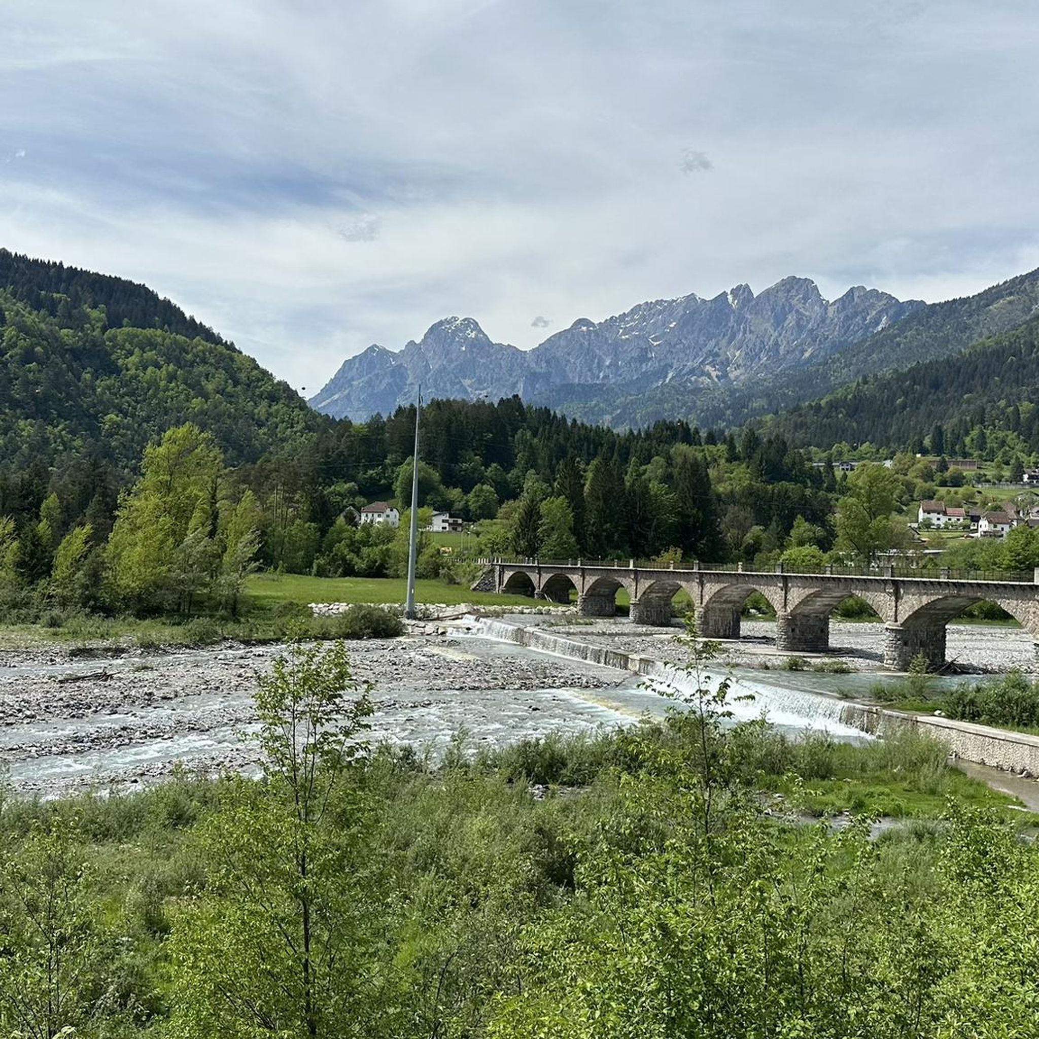
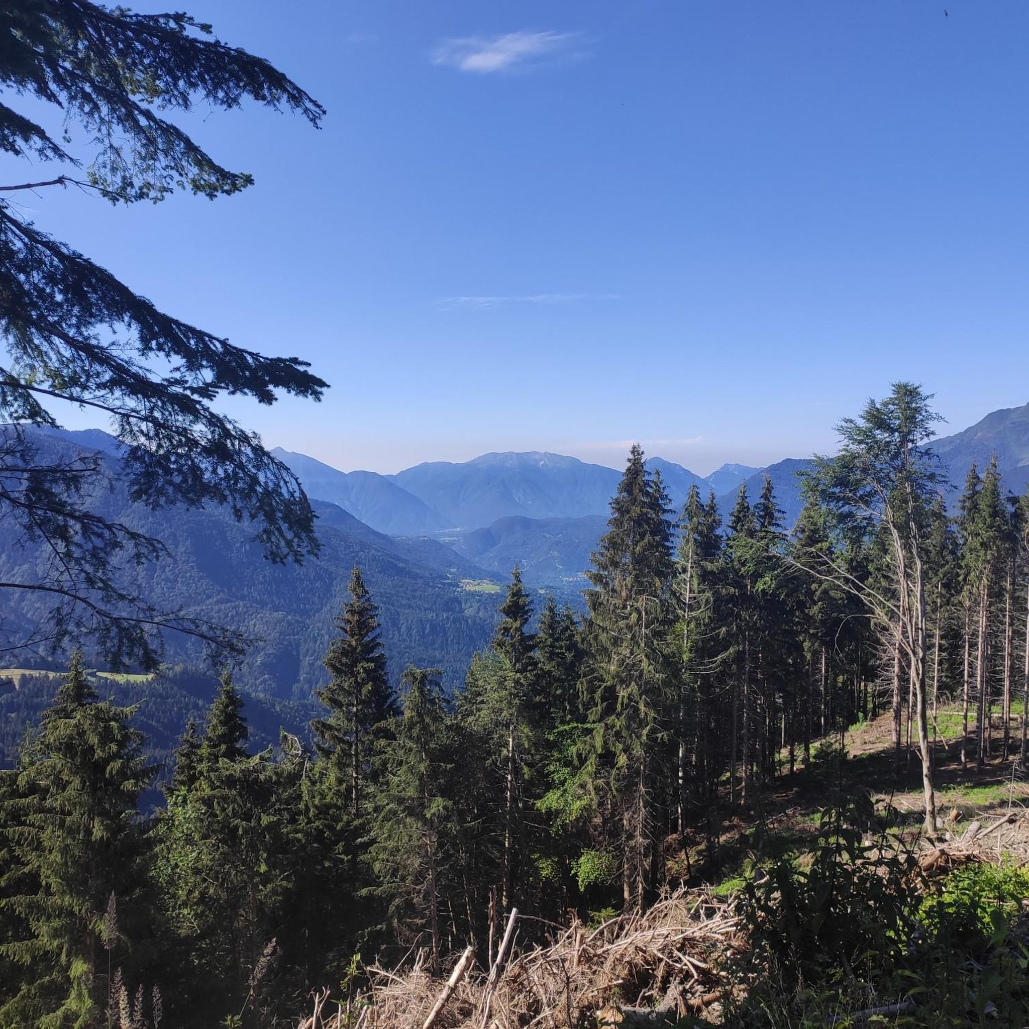

Tips from the Community

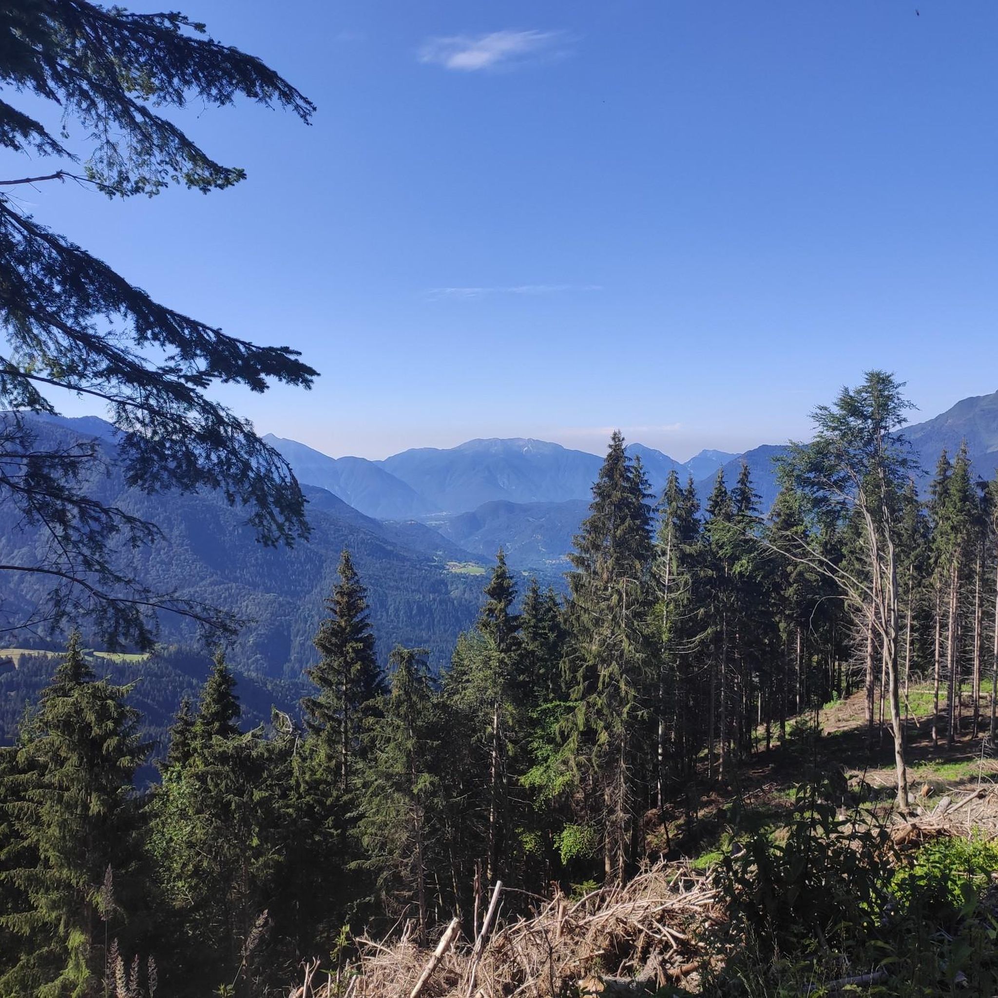
Beautiful and stunning panoramas
0
0

The twin races of the Granfondo Carnia Classic Fuji-Zoncolan in Italy and the Mt. Fuji Hillclimb in Japan were a practical manifestation of this partnership. This enabled the creation of a unique, bicontinental destination for amateurs, where they tackled the extreme intensity and gradients of Monte Zoncolan on the one hand, and the long, endurance climb of Majestic Fuji on the other, gaining global recognition for conquering the iconic 1,200-meter vertical drop on both sides of the globe.
0
0
The main reason for the partnership is the similar elevation gain experienced by cyclists on both routes. The climb to Zoncolan from Ovaro requires approximately 1,210 meters of elevation gain. Similarly, the popular Subaru Toll Road leading to Mount Fuji requires approximately 1,250 meters of elevation gain. However, the difference in scale is important: Zoncolan is extremely concentrated (about 10 km of very challenging climbing – at one point, you're climbing a 22% gradient), while the climb to Fuji is long and gentle (about 25 km, with an average gradient of 5%). The partnership focused on the vertical gain.
0
0
The "Zoncolan Mt. Fuji" sign at the wooden starting arch in Ovaro symbolizes the international twin-mountain partnership, initiated around 2015 to promote cycling tourism in the Friuli-Venezia Giulia region. The Italian province of Carnia and the Japanese prefecture of Shizuoka have announced an official gemellaggio, linking the iconic Alpine mountain of Zoncolan with Japan's majestic sacred Mount Fuji.
0
0
In addition to its role as a cycling arena, Monte Zoncolan is a multi-purpose tourist destination. In winter, you can enjoy downhill runs of varying difficulty (ranging from blue to black). The Zoncolan Ski Area offers a variety of challenging trails (both fast technical sections and steep walls), making it ideal for slalom and giant slalom training. The location in Friuli-Venezia Giulia offers good snow conditions, but also a relatively quiet base – fewer tourists than in the Dolomites. Modern infrastructure (the Ravascletto–Zoncolan gondola and artificial snowmaking system) allows for regular training even in inclement weather. If you visit Ravascletto in winter, it's not unusual to see sections of the trails marked "chiuso per allenamento" (closed for training) – a sign that national teams or clubs are training there. In summer, you can enjoy a network of trails of varying difficulty—from family walks to challenging mountain treks. The areas are well-marked and have infrastructure (huts, rifuges, viewpoints).
0
0
I ascended the Zoncolan on a beautiful, sunny day. Entering the tunnel was like falling into a black hole in the wall of a steep driveway. The air inside was noticeably cooler, and the humidity increased. This sudden change in conditions accentuated the difference between the bright, exposed trail and the narrow, rocky expanse of the tunnel.
1
0
During the Giro d'Italia, these three tunnels are a signature feature of the route. Crowds of fans line the entrances and exits. The sound of cheering, shouts, and horns bounces off the tunnel walls, amplifying the noise. When a cyclist enters a tunnel, they enter a deafening, claustrophobic world where the noise is more intense than on the open road. When they exit, loud cheering erupts behind them, spurring them on. Fans line these areas to give the riders an extra boost of energy.
1
0
On the approach from Ovaro, at the top of the climb, three short tunnels await, located about 500 meters before the summit. Passing through them marks the beginning of the final, serpentine battle with the mountain. The tunnels are carved into the rock, paved, single-lane, and have basic lighting. Each tunnel is several dozen meters long and requires concentration, as the road is narrow and usually slippery. For the cyclist, it's also a moment of mental "breathing." Although the gradient still requires effort, the tunnels offer a brief respite from the steepest sections of the climb.
1
0
Frequently Asked Questions
How many touring cycling routes are available around Comeglians?
There are over 90 touring cycling routes in the Comeglians area, offering a wide range of experiences from moderate tours to extreme challenges. The komoot community has explored these routes over 5,000 times.
What kind of terrain can I expect on touring cycling routes near Comeglians?
The terrain around Comeglians is characterized by high alpine landscapes, dense forests, and picturesque valleys. You'll find a mix of challenging mountain ascents, such as Monte Zoncolan and Monte Crostis, alongside scenic routes that follow river valleys like the But River. Routes can include both paved and unpaved sections.
What are the most challenging touring cycling routes around Comeglians?
For experienced cyclists seeking a significant challenge, the region offers formidable climbs. The Monte Zoncolan Pass Road – Arch start of ascent Zoncolan loop from Comeglians / Comelians is a difficult 27.3 km route with over 1,280 meters of ascent. Another demanding option is the Greetings from Valussa – Casera Chiadins Alta loop from Ravascletto / Ravasclêt, which covers 32.0 km with over 1,372 meters of elevation gain, offering high alpine terrain and panoramic views.
Are there touring cycling routes suitable for beginners or families in Comeglians?
While many routes in Comeglians are challenging, there are options for varying fitness levels. The FVG-8 Carnia Cycle Path, for instance, offers a moderate route along the But River valley, passing through charming towns and authentic Carnian landscapes. This path is generally more accessible for those looking for a less strenuous ride.
What natural attractions can I see while touring cycling around Comeglians?
The region boasts stunning natural beauty. You can encounter beautiful mountain lakes such as Lake Wolayer and Lago Avostanis. The Panoramica delle Vette offers spectacular mountain views, especially the section between Ravascletto and Comeglians. Many routes also pass through dense forests and picturesque valleys.
Are there any cultural or historical points of interest along the touring cycling routes?
Beyond the natural landscapes, you can explore historical buildings in Comeglians itself, such as Cjase Boter and Palazzo Di Gleria. The routes often connect charming villages like Povolaro and Maranzanis, allowing you to experience the authentic Carnian culture and architecture.
Where can I find mountain huts or refuges along the touring cycling routes?
Several mountain huts and refuges are accessible in the area. Notable options include the Wolayersee Hut, located near Lake Wolayer, and Malga Pramosio, which serves as a great starting point for trails to Lake Avostanis. The Edoardo Tolazzi Hut is another option for a stop.
What do other touring cyclists say about the routes in Comeglians?
The touring cycling routes around Comeglians are highly rated by the komoot community, with an average score of 4.5 stars from over 300 reviews. Cyclists often praise the challenging climbs, the breathtaking alpine scenery, and the sense of quiet solitude found on these trails.
What is the best time of year for touring cycling in Comeglians?
The best time for touring cycling in the Carnia region, including Comeglians, is typically from late spring to early autumn (May to October). During these months, the weather is generally more favorable, and mountain passes are clear of snow, offering optimal conditions for exploring the diverse terrain.
Are there any circular touring cycling routes in the Comeglians area?
Yes, many routes are designed as loops, allowing you to start and end in the same location. For example, the Arch start of ascent Zoncolan – Mt. Fuji loop from Comeglians / Comelians is a 22.5 km circular route. Another option is the Monte Zoncolan Pass Road loop from Ovaro / Davâr, a 16.6 km loop that tackles the iconic Monte Zoncolan.
Is there public transport access to the touring cycling routes in Comeglians?
While Comeglians is a smaller mountain village, public transport options exist to reach the general Carnia region. However, direct public transport specifically tailored for accessing individual touring cycling routes might be limited. It's advisable to check local bus schedules for connections to Comeglians and surrounding villages, but many cyclists prefer to drive and park to access specific trailheads.
Where can I park my car when cycling in Comeglians?
In Comeglians and the surrounding villages, you can typically find public parking areas. For specific routes, it's common to park in the village where the route starts, such as Comeglians or Ovaro. Always look for designated parking spots to ensure you're not obstructing local traffic or private property.
Most popular routes around Comeglians
Most popular attractions around Comeglians

Get inspired with the komoot mobile app


Explore more
Browse the best Cycling routes in other regions.
