The best road cycling routes around Rückersdorfer Forst
4.6
(1427)
18,196
riders
373
rides
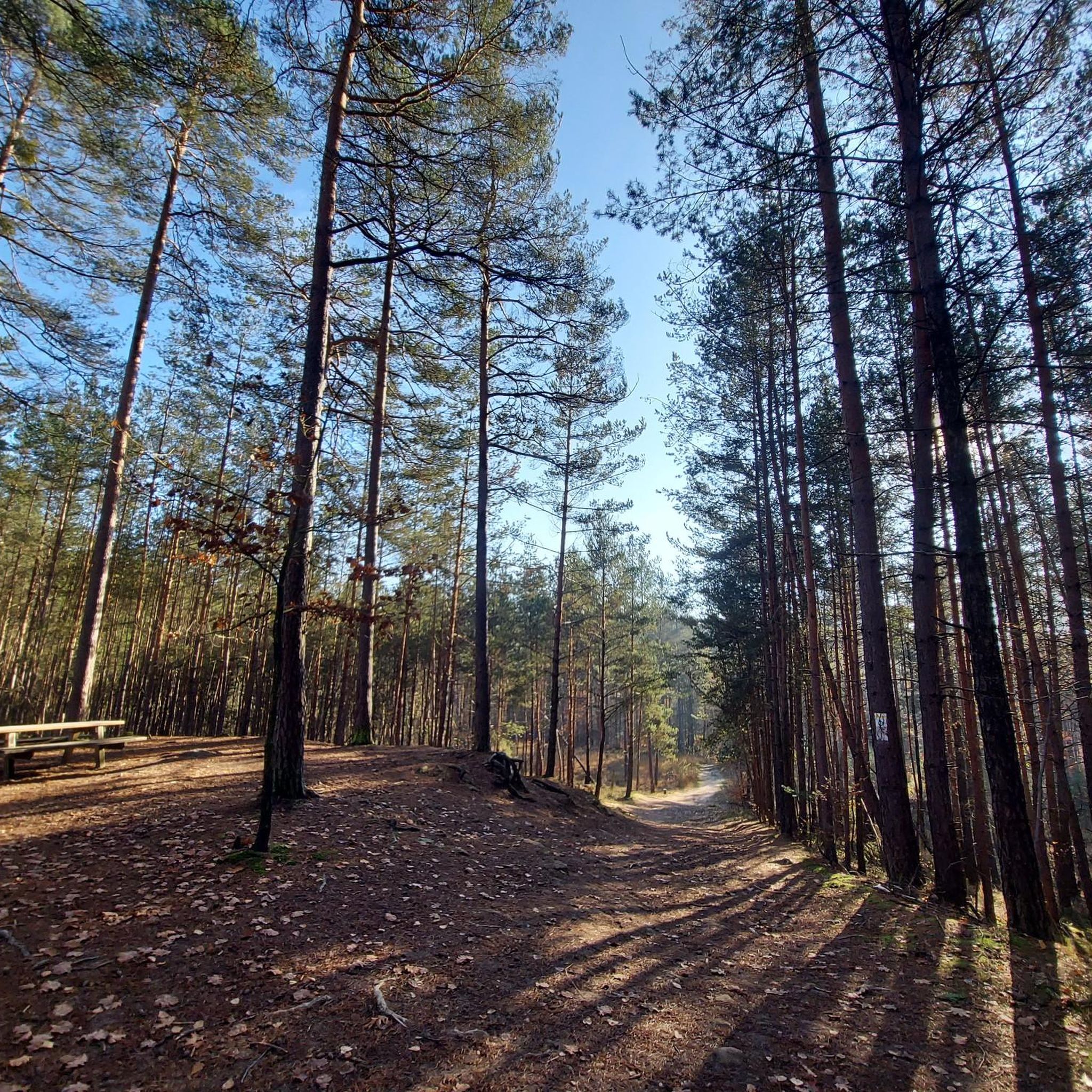
Road cycling around Rückersdorfer Forst, located in Middle Franconia, Germany, offers diverse landscapes for cyclists. The region is characterized by extensive forested areas, including the Sebalder Reichswald, and is traversed by several streams such as the Hirschbrunnengraben and Bitterbach. While the Buchberg reaches 400 meters, the terrain features varied elevations suitable for both gentle rides and more challenging ascents. Road cycling routes often follow well-paved surfaces through these natural settings.
Best road cycling routes around Rückersdorfer Forst
- The most popular…
Last updated: July 8, 2026
4.6
(12)
112
riders
46.0km
01:55
270m
270m
Easy road ride. Great for any fitness level. Mostly well-paved surfaces and easy to ride.
5.0
(2)
45
riders
41.0km
01:49
350m
350m
Moderate road ride. Good fitness required. Mostly well-paved surfaces and easy to ride.

Sign up for free
4.0
(2)
40
riders
Moderate road ride. Good fitness required. Mostly well-paved surfaces and easy to ride.
5.0
(8)
25
riders
Moderate road ride. Great for any fitness level. Some segments of this route may be unpaved and difficult to ride.
19
riders
Moderate road ride. Good fitness required. Mostly well-paved surfaces and easy to ride.
Get access to more routes and recommendations from other explorers.
Sign up for free
Already have an account?
Our route recommendations are based on thousands of hikes, rides, and runs completed by other people on komoot.
Start today with a free account
Your next adventure awaits.
Login or Signup
Popular around Rückersdorfer Forst
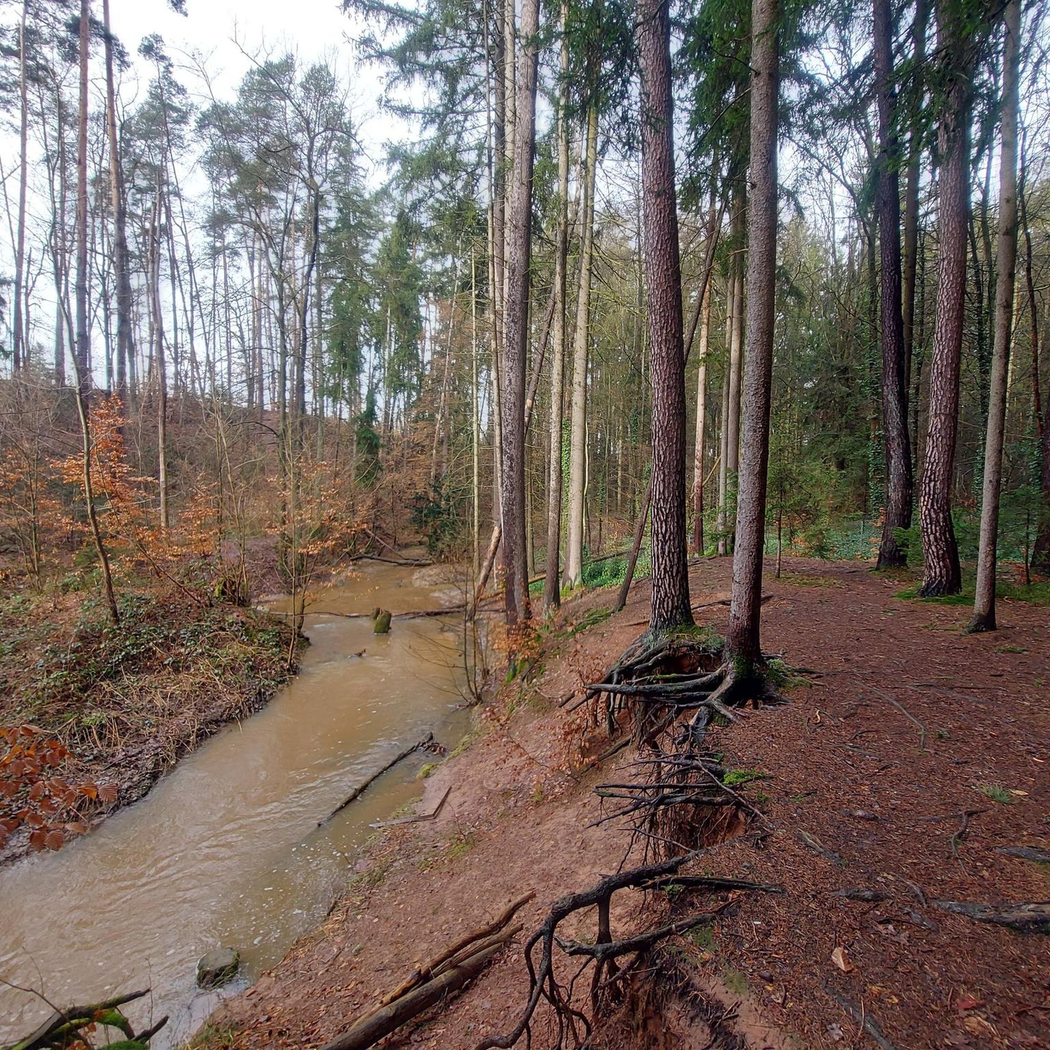
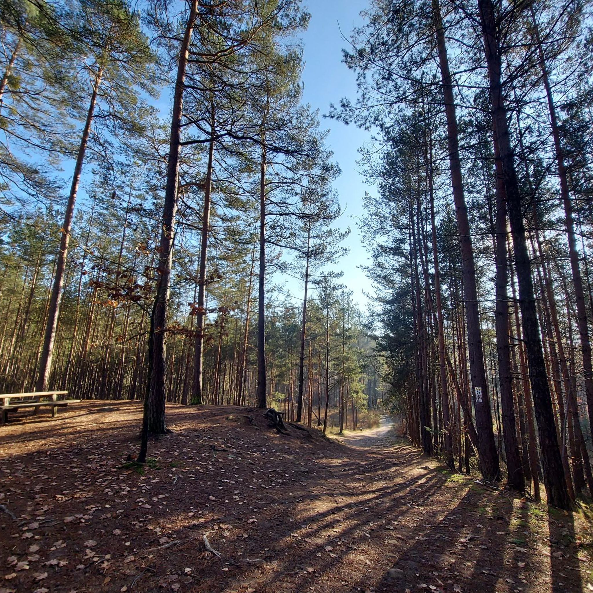
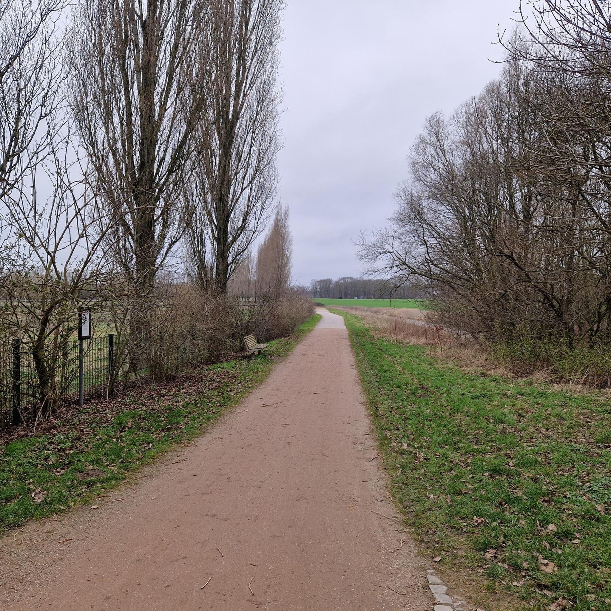
Other adventures around Rückersdorfer Forst


Tips from the Community

Ideal by bike. Overall little-trafficked road.
0
0
A superbly developed cycle path for covering distance.
2
0

A really beautiful route and the 14% climb isn't so bad when you then have the great descent on a wonderful cycle path.
1
0


Top asphalt perfect for a fast lap
0
0

The scenery is beautiful, and there are lots of cyclists here on the weekends.
1
0

From the outside, at first glance, you wouldn't think it's an inn, at least not one that's still in operation—but it's apparently open from 6 p.m. on some days (which days? There are varying reports on this). The building, dating from the early 19th century, is listed as a historic monument in Lauf an der Pegnitz.
0
0
Frequently Asked Questions
What kind of terrain can I expect when road cycling in Rückersdorfer Forst?
Rückersdorfer Forst offers diverse landscapes for road cyclists. You'll find extensive forested areas, including the Sebalder Reichswald, and routes that follow picturesque waterways like the Hirschbrunnengraben and Bitterbach. While the Buchberg reaches 400 meters, the terrain features varied elevations suitable for both gentle rides and more challenging ascents, often on well-paved surfaces.
How many road cycling routes are available in Rückersdorfer Forst?
There are over 370 road cycling routes available around Rückersdorfer Forst, catering to various skill levels. This includes approximately 70 easy routes, over 210 moderate routes, and more than 90 challenging options.
Are there any easy road cycling routes suitable for beginners or leisurely rides?
Yes, Rückersdorfer Forst offers numerous easy routes. One popular option is the Schwaig Castle – Scherauer Pond loop from Ludwigshöhe, an easy 28.6-mile (46.0 km) path that provides scenic views of local landmarks and natural ponds with minimal elevation gain.
What are some notable landmarks or natural features to see along the road cycling routes?
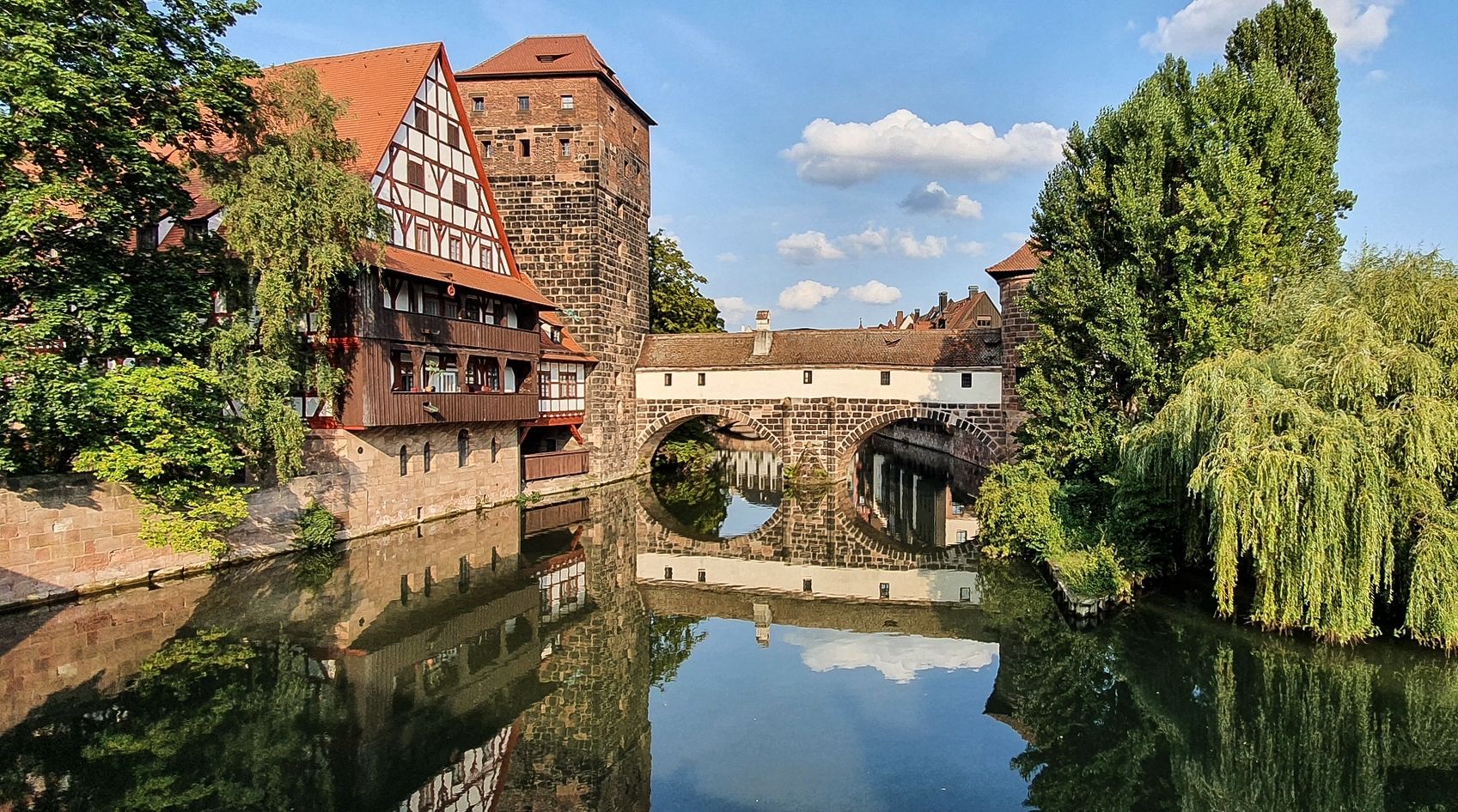
Along the routes, you can discover various points of interest. Natural features include the Pegnitz River, the dramatic Bitterbach Gorge, and the unique Klingender Waterfall. For historical sites, consider exploring the Fabrikgut Hammer, a listed industrial ensemble, or the castle in nearby Lauf an der Pegnitz.
Are there any viewpoints or scenic spots accessible by road bike?
Absolutely. You can find several viewpoints offering panoramic vistas. The View from Glatzenstein is a popular spot, and the Schmausenbuck Tower also provides excellent views. The Moritzberg Summit offers not only views but also an observation tower and beer garden.
What do other road cyclists say about the routes in Rückersdorfer Forst?
The road cycling routes in Rückersdorfer Forst are highly rated by the komoot community, with an average score of 4.6 stars from over 1,300 reviews. Cyclists often praise the varied terrain, well-paved surfaces, and the beautiful forested areas that make for enjoyable rides.
Can I find challenging road cycling routes with significant climbs?
Yes, for those seeking a challenge, there are routes with notable climbs. The Scherauer Pond – Steep Ascent to Klingenhof loop from Rückersdorf (Mittelfr) is a 38.9-mile (62.5 km) trail that leads through forested areas and features significant elevation gain, making it a good option for experienced riders.
Are there any circular road cycling routes in the area?
Many of the road cycling routes in Rückersdorfer Forst are designed as loops. For example, the Heroldsberg Mill Path – View of Moritzberg loop from Ludwigshöhe is a popular 25.5-mile (41.0 km) circular route with moderate elevation gain through varied terrain.
What is the best time of year for road cycling in Rückersdorfer Forst?
The region is generally pleasant for road cycling from spring through autumn, when the weather is mild and the natural scenery is at its best. The well-paved surfaces make routes accessible, but it's always advisable to check local weather conditions, especially during colder months, as some areas might experience winter conditions.
Are there options for longer road cycling tours in Rückersdorfer Forst?
Yes, if you're looking for longer rides, routes like the Offenhausen Village Center – Long descent from Deckersberg loop from Rückersdorf (Mittelfr) cover over 63 kilometers (39 miles) and include significant elevation changes, providing a substantial day out on the bike.
Are there any family-friendly road cycling routes in Rückersdorfer Forst?
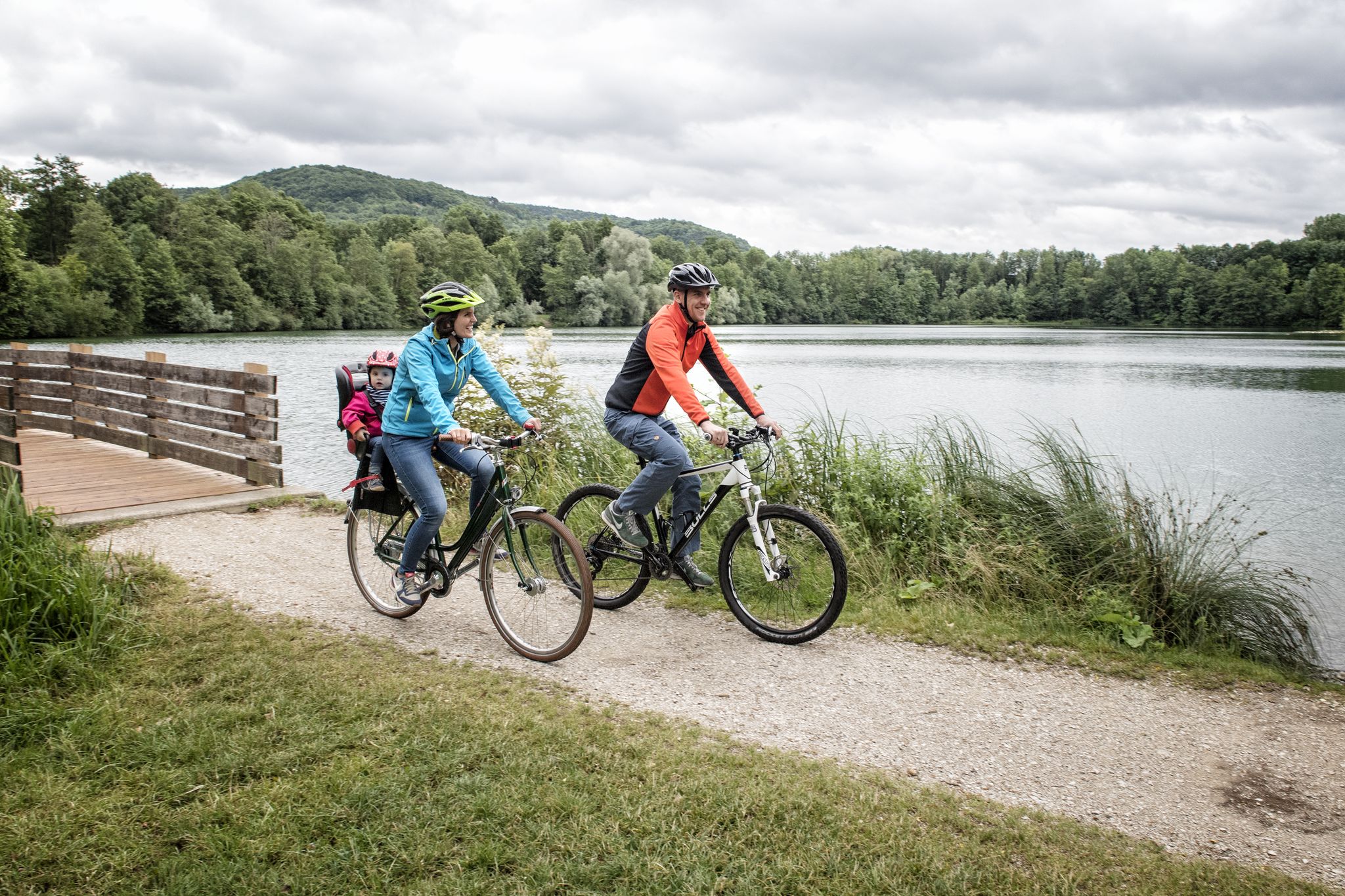
While road cycling routes are generally on paved surfaces, the 'easy' graded routes with less elevation gain are often suitable for families with older children who are comfortable with longer distances. The scenic views and natural ponds on routes like the Schwaig Castle – Scherauer Pond loop can make for an enjoyable family outing.
Where can I find parking for road cycling routes in Rückersdorfer Forst?
While specific parking areas are not detailed in the route descriptions, many routes start from towns or villages like Ludwigshöhe or Rückersdorf (Mittelfr). These locations typically offer public parking facilities. It's recommended to check local parking options in these starting points before your ride.
Most popular routes around Rückersdorfer Forst
Most popular attractions around Rückersdorfer Forst

Get inspired with the komoot mobile app


Explore more
Browse the best Road cycling routes in other regions.
