The best walks and hikes around Rückersdorfer Forst
4.5
(15255)
63,203
hikers
1,815
hikes
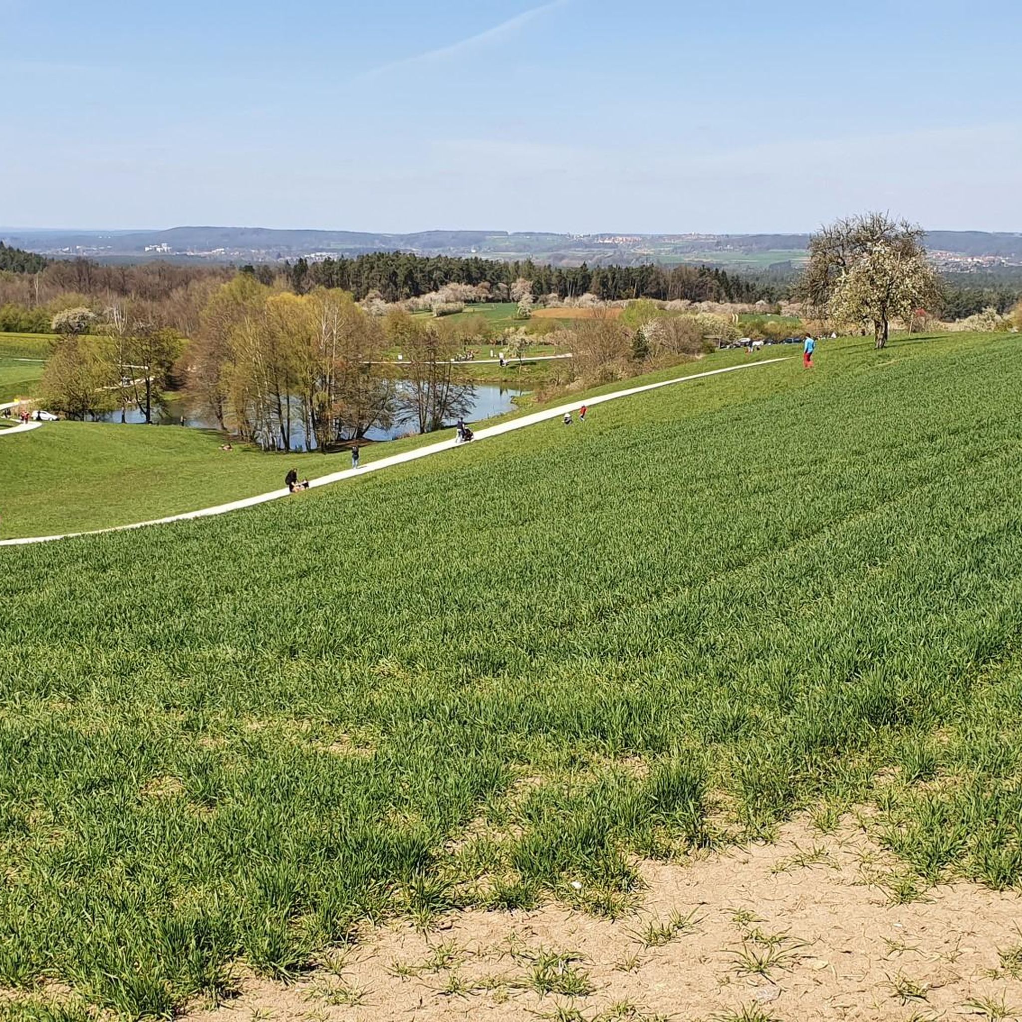
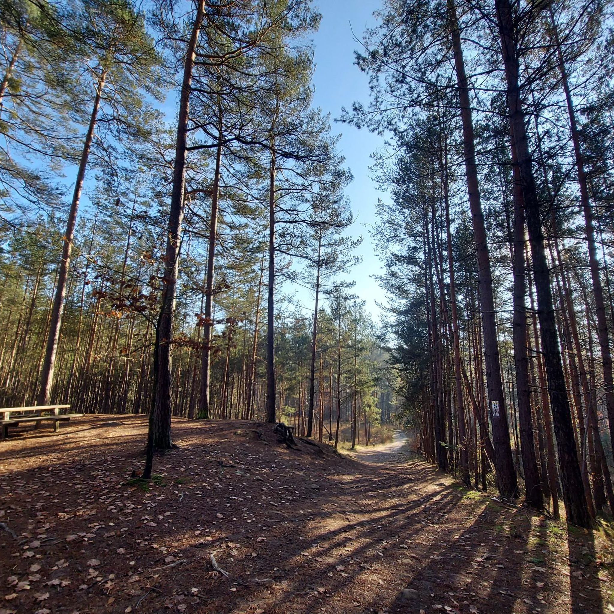
Hiking around Rückersdorfer Forst offers diverse landscapes within the Mittelfranken region of Bavaria. The area features varied terrain with elevations, including the Buchberg hill rising to 400 meters above sea level. Numerous streams, such as the Hirschbrunnengraben and Kreuzgraben, crisscross the Forst, feeding into the Bitterbach. The Bitterbachschlucht (Bitterbach Gorge) is a notable natural feature, providing picturesque scenery.
Best hiking trails around Rückersdorfer Forst
- The most popular hiking route is Bridge Over the Bitterbach – Bitterbach Gorge loop from Vogelhof…
Last updated: October 14, 2026
4.5
(62)
191
hikers
4.85km
01:16
30m
30m
Easy hike. Great for any fitness level. Easily-accessible paths. Suitable for all skill levels.
4.5
(30)
131
hikers
Easy hike. Great for any fitness level. Easily-accessible paths. Suitable for all skill levels.

4.6
(33)
121
hikers
Easy hike. Great for any fitness level. Easily-accessible paths. Suitable for all skill levels.
4.9
(15)
98
hikers
Easy hike. Great for any fitness level. Easily-accessible paths. Suitable for all skill levels.
4.6
(11)
40
hikers
Easy hike. Great for any fitness level. Easily-accessible paths. Suitable for all skill levels.
Get access to more routes and recommendations from other explorers.
Already have an account?
Our route recommendations are based on thousands of hikes, rides, and runs completed by other people on komoot.
Start today with a free account
Your next adventure awaits.
Popular around Rückersdorfer Forst
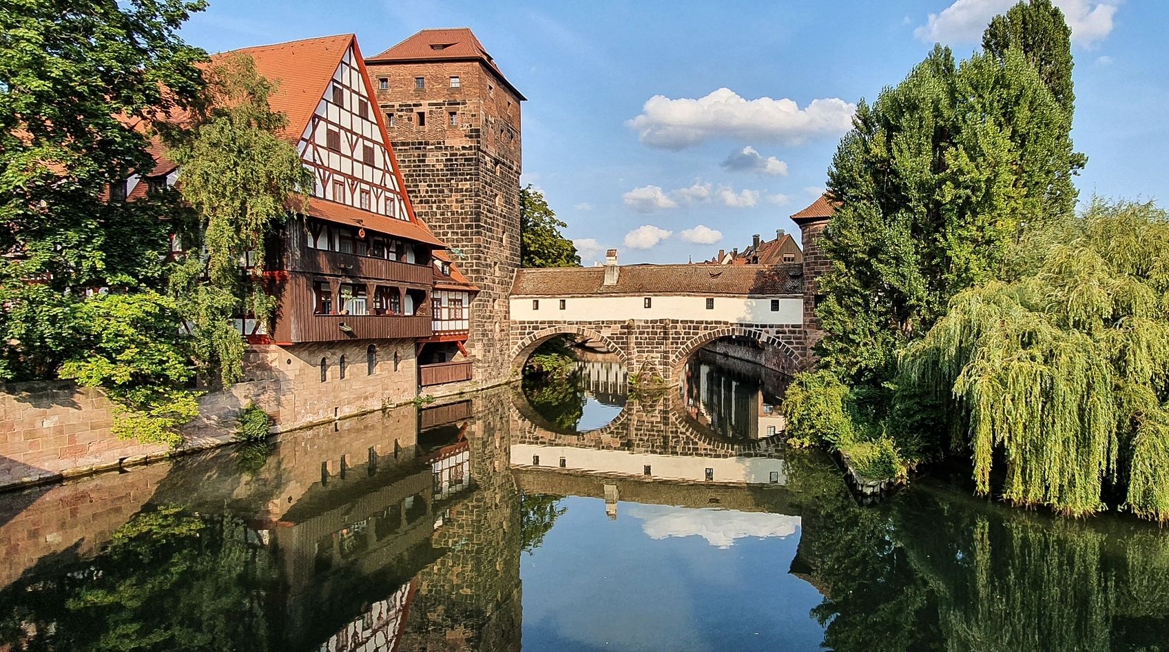
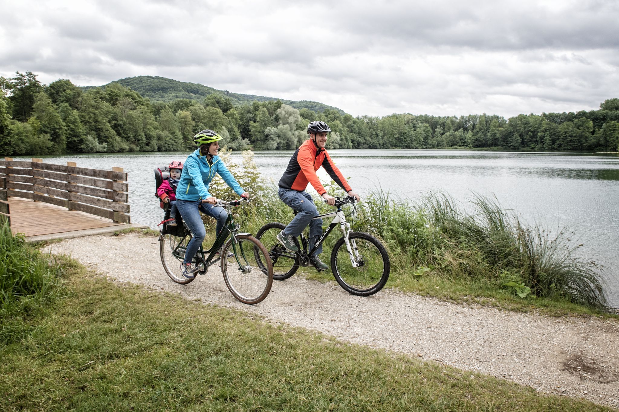
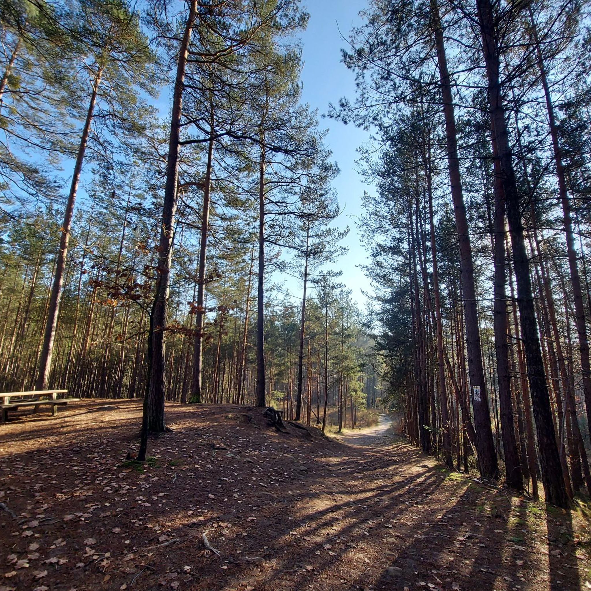
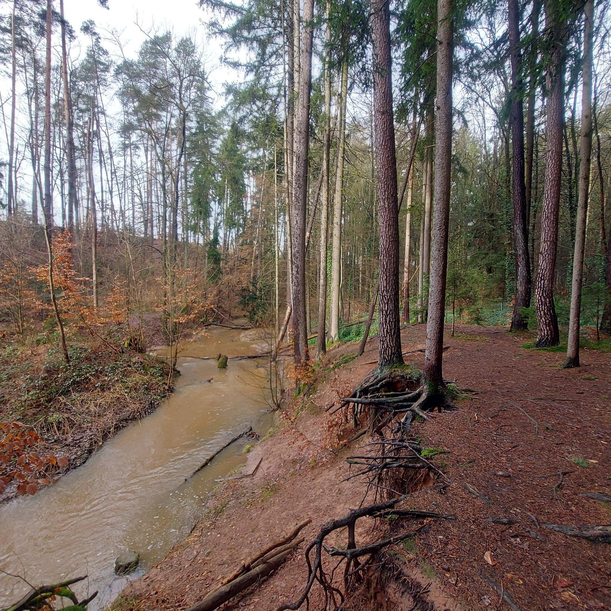
Other adventures around Rückersdorfer Forst


Tips from the Community

A beautiful path along the gorge. A dream in spring and summer.
0
0

Can be done with a bike, some places have to be pushed
0
0

It is a very easy hike with good opportunities to photograph nature. Go early in the morning or late evenings to avoid crowd.
0
0

Information about the course of the Ochsenpriel https://de.wikipedia.org/wiki/Bitterbach#Ochsenpriel
0
0

Very "special" shelter on this hike
0
0

Nice photo opportunity and crossing aid. Be careful when wet, it can be quite slippery...
2
0

There is also a rest area with a table and 2 benches
1
0

Every now and then, small bridges or wooden footbridges lead over the Bitterbach
0
0
Frequently Asked Questions
How many hiking trails are available in Rückersdorfer Forst?
Rückersdorfer Forst offers a wide array of hiking opportunities, with over 1,800 routes recorded on komoot. This includes a diverse selection of paths suitable for various preferences and fitness levels.
What kind of terrain can I expect when hiking in Rückersdorfer Forst?
The terrain in Rückersdorfer Forst is quite varied, featuring diverse forest landscapes and gentle elevations. You'll encounter numerous streams like the Hirschbrunnengraben and Kreuzgraben, which feed into the Bitterbach. The area also includes the Bitterbach Gorge, known for its picturesque scenery, and the Buchberg, one of the highest points at 400 meters above sea level.
Are there hiking options for all skill levels in Rückersdorfer Forst?
Yes, Rückersdorfer Forst caters to all skill levels. There are over 1,100 easy routes for leisurely walks, more than 600 moderate trails for those seeking a bit more challenge, and around 40 difficult routes for experienced hikers looking for longer excursions or greater elevation gains.
What natural attractions can I discover while hiking in Rückersdorfer Forst?
Hikers can explore several natural highlights. The Bitterbach Gorge is a particularly beautiful spot with a bridge offering photo opportunities. You might also encounter the Klingender Waterfall, various streams, and the Oberer Schnakenbrunnen spring area, which provides a pleasant resting spot.
Can I find circular hiking routes in Rückersdorfer Forst?
Yes, many of the trails in Rückersdorfer Forst are circular routes, perfect for exploring the area without retracing your steps. An example is the moderate Kreuzgraben Pond and Forest – Wooden Bridge Over the Stream loop from Rückersdorf (Mittelfr), which takes you through varied landscapes.
Are there family-friendly hiking trails in Rückersdorfer Forst?
Absolutely. Many of the easy routes are suitable for families. Trails like the Bridge Over the Bitterbach – Bitterbach Gorge loop from Vogelhof, which is 4.9 km long, offer accessible paths through scenic areas, ideal for walks with children.
Are dogs allowed on the hiking trails in Rückersdorfer Forst?
Rückersdorfer Forst is generally dog-friendly, offering many trails where you can enjoy a hike with your canine companion. It's always recommended to keep dogs on a leash, especially in nature protection areas or near wildlife, and to respect local regulations.
What do other hikers enjoy most about hiking in Rückersdorfer Forst?
The komoot community highly rates the hiking experience in Rückersdorfer Forst, with an average score of 4.5 stars from over 13,000 reviews. Hikers often praise the diverse forest landscapes, the well-maintained paths, and the picturesque natural features like the Bitterbach Gorge and various streams.
Are there any challenging hikes for experienced hikers?
While many routes are easy to moderate, Rückersdorfer Forst does offer more challenging options. There are around 40 difficult routes, some spanning over five hours with significant elevation gains, requiring good sure-footedness and sturdy footwear. These routes allow experienced hikers to explore the more rugged parts of the forest.
Where can I find parking for hiking in Rückersdorfer Forst?
Parking is generally available at various entry points to the forest. Many routes, such as those starting from Lauf an der Pegnitz or Vogelhof, have designated parking areas nearby, making access convenient for hikers.
Is public transport available to reach the hiking trails?
Yes, some trailheads in and around Rückersdorfer Forst are accessible by public transport. For example, routes starting from Lauf an der Pegnitz can often be reached via local bus or train services, allowing for car-free access to the hiking areas.
Are there any specific viewpoints or scenic spots?
Beyond the Bitterbach Gorge, the Buchberg, one of the highest points in the area, likely offers scenic views. Additionally, the View from Glatzenstein is another notable viewpoint in the broader region that provides expansive vistas.
Most popular routes around Rückersdorfer Forst
Most popular attractions around Rückersdorfer Forst

Get inspired with the komoot mobile app


Explore more
Browse the best Hikes in other regions.
