The best running trails around Montenars
4.6
(99)
4,401
runners
260
runs
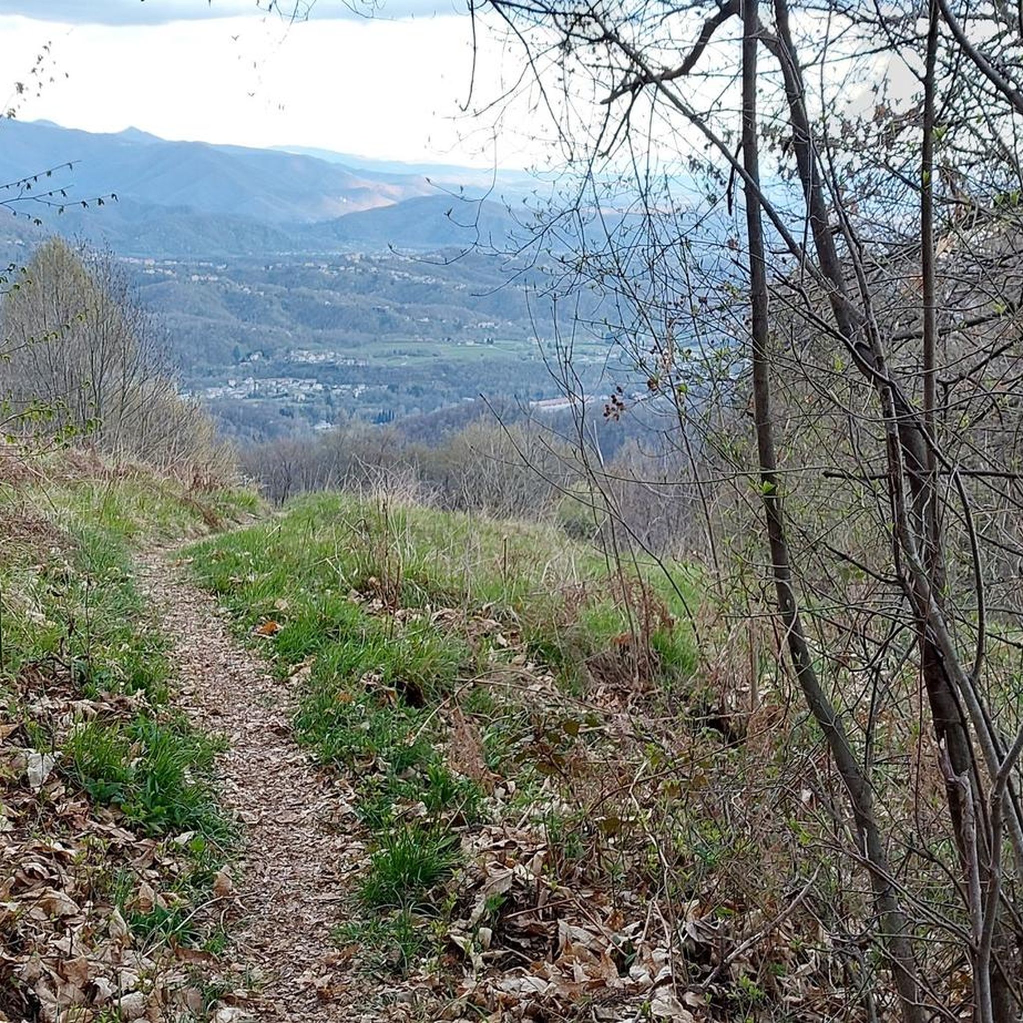
Jogging around Montenars offers diverse natural landscapes within the Friuli Venezia Giulia region of Italy. The area is characterized by its mountainous terrain, including prominent peaks like Monte Cuarnan, and lush forests. A network of trails provides varied experiences for runners, from challenging ascents to more relaxed routes along watercourses. This varied terrain includes both paved surfaces and forest paths, catering to different preferences.
Best jogging routes around Montenars
- The most popular jogging route is Monte Cuarnan Loop, a 3.1 miles (5.1 km) trail that takes 1 hour 7 minutes to complete. This route offers a challenging ascent with panoramic vistas of the Alps.
- Another top favourite among local runners is Fountain – Roccolo of Puestin loop from Montenars / Montenârs, a difficult 8.7 miles (14.1 km) path. This route navigates through varied terrain, including forest sections and open landscapes.
- Local runners also love the Artegna Castle and Clock Tower loop from Artegna / Dartigne, a 8.8 miles (14.2 km) trail leading through historical sites and scenic surroundings, often completed in about 1 hour 35 minutes.
- Jogging around Montenars is defined by mountainous terrain, lush forests, and diverse trails, including sections along watercourses. The network offers options for different ability levels, from moderate forest runs to more difficult mountain ascents.
- The routes in Montenars are highly rated by the komoot community with an average score of 4.5 stars from over 90 reviews. More than 4000 runners have used komoot to explore Montenars's varied terrain.
Last updated: September 26, 2026
1
runners
5.07km
01:08
410m
420m
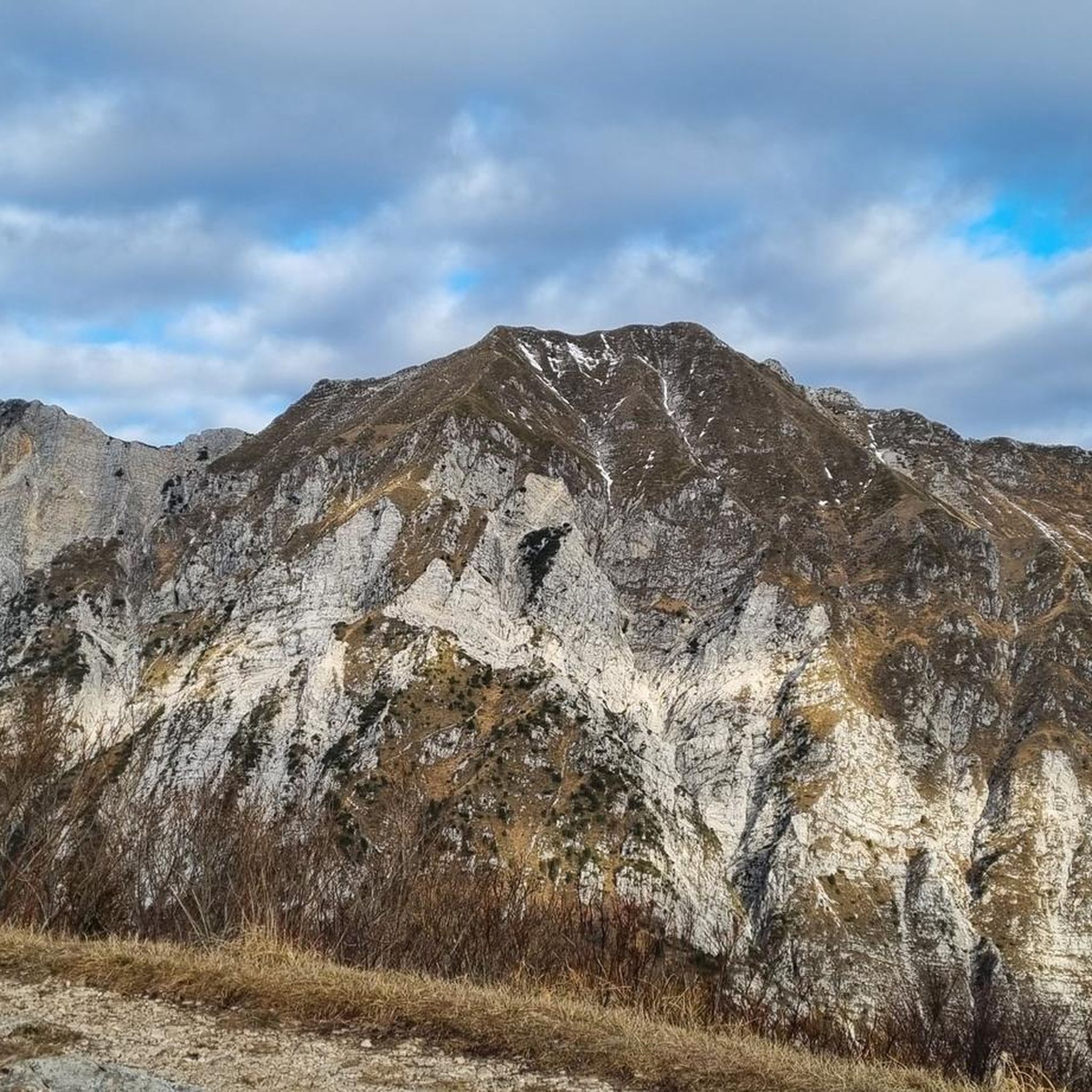
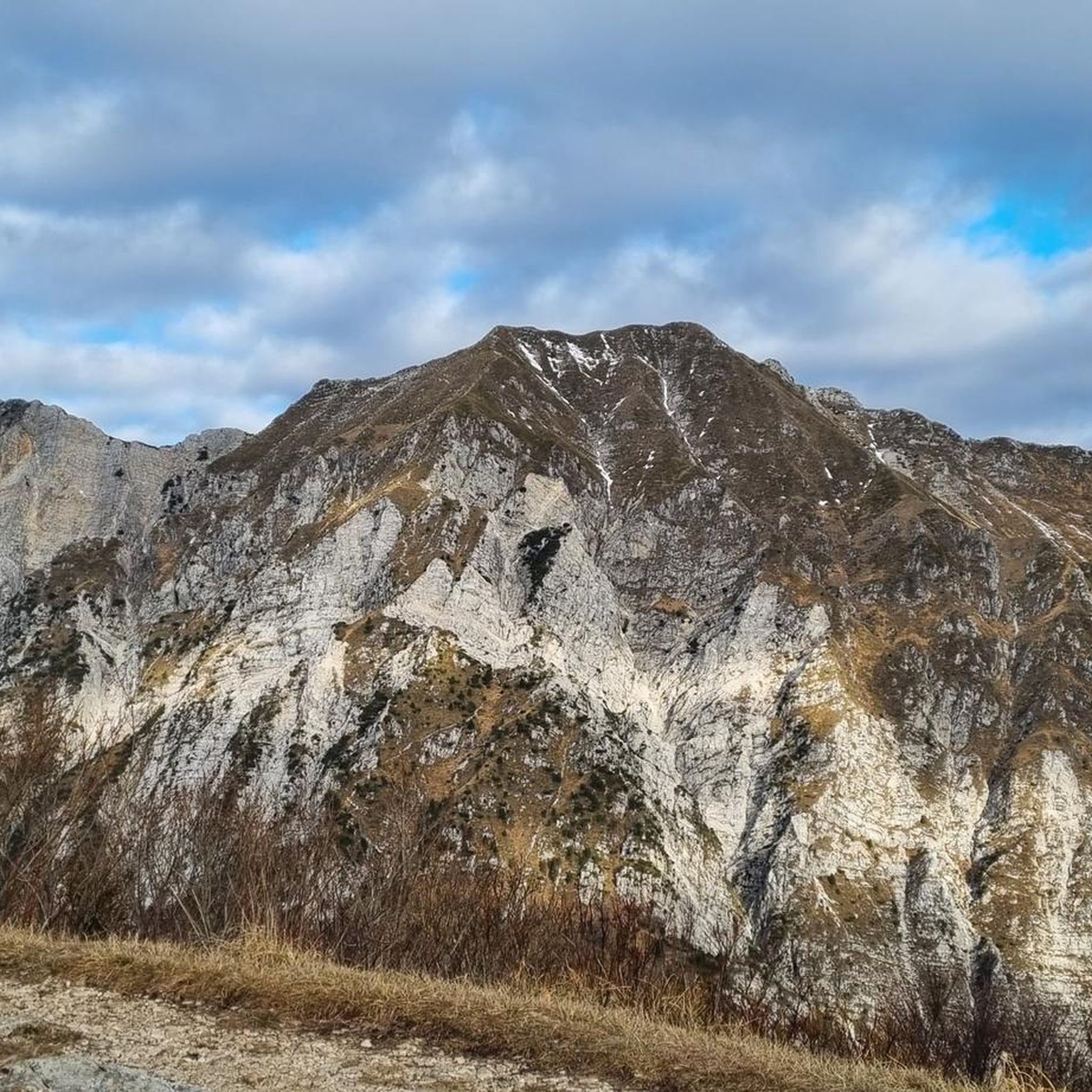
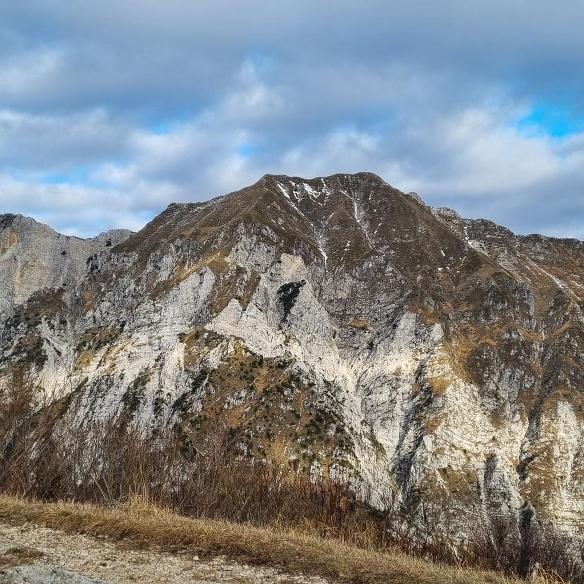
Prepare for a challenging jogging experience on the Monte Cuarnan Loop, a difficult 3.2-mile (5.1 km) route that climbs 1332 feet (406 metres) over approximately 1 hour and 7 minutes. As you ascend, you will encounter varied terrain, shifting from asphalt to dirt roads and then to well-defined paths through undergrowth. The route features grassy stretches and serpentine sections, keeping your run dynamic. Reaching the Monte Cuarnan Summit and Chapel rewards you with expansive 360-degree views of the Julian Prealps, the town of Gemona, and the vast Friulian Plain, stretching all the way to the Adriatic Sea on clear days. You will also jog through forests of beech and chestnut, catching glimpses of the majestic Monte Chiampon.
This difficult route is best suited for experienced runners who have good fitness and sure-footedness. Be aware that sections can be quite rough, with gravel and stones underfoot. The ridge line, marked as CAI 714, is exposed, so exercise caution, especially if it is windy or wet. If you plan to visit in spring, be prepared for compact snowpack above 1000 metres. Sturdy shoes and some alpine experience are recommended for this route.
The Monte Cuarnan Loop is located within the Prealpi Giulie Regional Natural Park, offering a deep dive into the natural beauty of the region. The trail's diverse ecosystem includes forests of beech and chestnut, providing a rich environment for your run. This route stands out for its panoramic views from the summit, showcasing the extensive Friulian Plain and the surrounding mountain ranges. It is a notable option for those seeking a demanding jogging challenge with significant elevation gain in a protected natural setting.
103
runners
14.1km
01:50
530m
530m
Hard run. Very good fitness required. Sure-footedness, sturdy shoes and alpine experience required.

54
runners
14.3km
01:36
190m
190m
Moderate run. Good fitness required. Mostly paved surfaces. Suitable for all skill levels.
27
runners
13.0km
01:55
620m
620m
Hard run. Very good fitness required. Sure-footedness, sturdy shoes and alpine experience required.
19
runners
7.52km
01:17
540m
540m
Hard run. Very good fitness required. Sure-footedness, sturdy shoes and alpine experience required.
Get access to more routes and recommendations from other explorers.
Already have an account?
Our route recommendations are based on thousands of hikes, rides, and runs completed by other people on komoot.
Start today with a free account
Your next adventure awaits.

Tips from the Community


downhill belvedere from mount Faeit
0
0

Beautiful view from Monte Campeon; well-deserved reward after the climb
1
0
Suggestive bird sanctuary, now in disuse, well maintained and open to visitors.
0
0

A historically interesting crossroads.
0
0

Throughout the area there are remains of artifacts from the Great War.
0
0
Mount Cuarnan, on its panoramic summit is the little church of the Redeemer.
0
0

A place that deserves a small detour to enjoy the splendid panorama
0
0
Frequently Asked Questions
How many running routes are available around Montenars?
Montenars offers a wide selection of running routes, with over 280 trails available. These routes cater to various fitness levels, ranging from easy forest paths to more challenging mountain ascents.
What kind of terrain can I expect on the jogging trails in Montenars?
The terrain around Montenars is quite varied, reflecting its mountainous landscape. You'll find a mix of lush forest trails, some passing through chestnut groves, as well as sections on unpaved paths, dirt roads, and even some asphalt. Prominent features like Monte Cuarnan offer trails that transition from paved surfaces to proper forest paths, providing a dynamic running experience.
Are there any easy or beginner-friendly running routes in Montenars?
Yes, Montenars has options for beginners. While many routes are moderate to difficult, there are 14 identified easy routes. These typically offer gentler gradients, often found along forest trails or watercourses, providing a more relaxed jogging experience amidst natural beauty.
Can I find circular running routes in Montenars?
Absolutely. Many of the running routes in Montenars are designed as loops, allowing you to start and finish at the same point. For example, the challenging Monte Cuarnan Loop is a popular circular option, offering panoramic views.
What are some scenic points of interest or natural features I might see while running in Montenars?
Montenars is rich in natural beauty. You can expect panoramic vistas of the Alps and the Adriatic Sea from higher elevations like Monte Cuarnan. The region also features lush forests, bucolic landscapes, and the Orvenco Stream Educational Trail, which is known for its waterfalls and emerald pools. For specific attractions, you might encounter highlights like the Crosis Waterfall or the Small waterfall with Marian shrine.
Are there any historical landmarks along the running routes?
Yes, some routes pass by historical sites. For instance, the Artegna Castle and Clock Tower loop from Artegna / Dartigne leads through historical areas. Additionally, the broader region features several castles and historical sites, such as Osoppo Fortress and Coia Castle, which can be explored in conjunction with your runs.
What do other runners say about the trails in Montenars?
The running routes in Montenars are highly regarded by the komoot community, boasting an average score of 4.5 stars from over 90 reviews. Runners often praise the diverse terrain, the challenging ascents with rewarding views, and the serene environment of the forest paths.
Is Montenars a good place for trail running with dogs?
While specific regulations for dogs on every trail vary, the natural and often secluded forest paths around Montenars generally offer a suitable environment for trail running with dogs. It's always recommended to keep your dog on a leash and ensure you clean up after them to preserve the natural surroundings for everyone.
Are there any family-friendly running routes in Montenars?
For families, the easier and less steep sections of trails, particularly those through forests or along watercourses like the Orvenco Stream Educational Trail, would be most suitable. These routes offer a more relaxed pace and engaging natural scenery without overly challenging gradients.
What is the best time of year to go jogging in Montenars?
Montenars offers good jogging conditions for much of the year. Spring and autumn provide pleasant temperatures and beautiful scenery, with lush greenery or vibrant fall colors. Summer can be warm, but the numerous forest trails offer welcome shade. Winter running is also possible, though some higher elevation trails might require more appropriate gear due to snow or ice.
Are there options for parking near the running trails in Montenars?
Yes, for many popular trailheads and routes, you can generally find parking options. While specific parking areas are not detailed for every single route, the presence of numerous trails suggests accessible starting points for runners arriving by car.
How can I reach the running routes in Montenars using public transport?
Montenars is nestled in the Friuli Venezia Giulia region. While direct public transport access to every trailhead might be limited, local bus services often connect the main villages and towns in the region. It's advisable to check local bus schedules for connections to Montenars or nearby towns like Artegna or Gemona del Friuli, from where you might access various starting points.
Most popular attractions around Montenars

Get inspired with the komoot mobile app


Explore more
Browse the best Running Trails & Routes in other regions.
