The best cycling routes around Montenars
4.5
(3620)
24,453
riders
298
rides
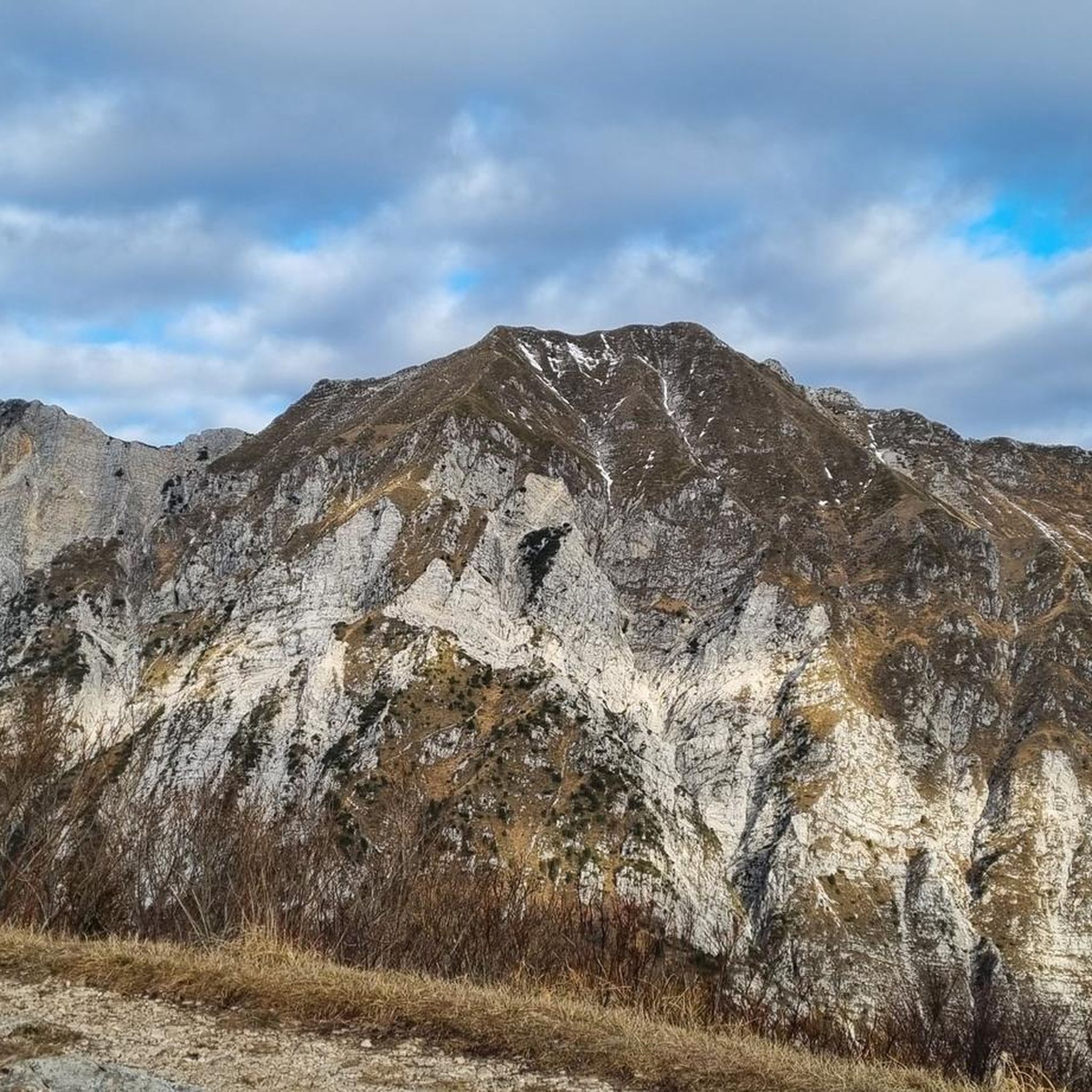
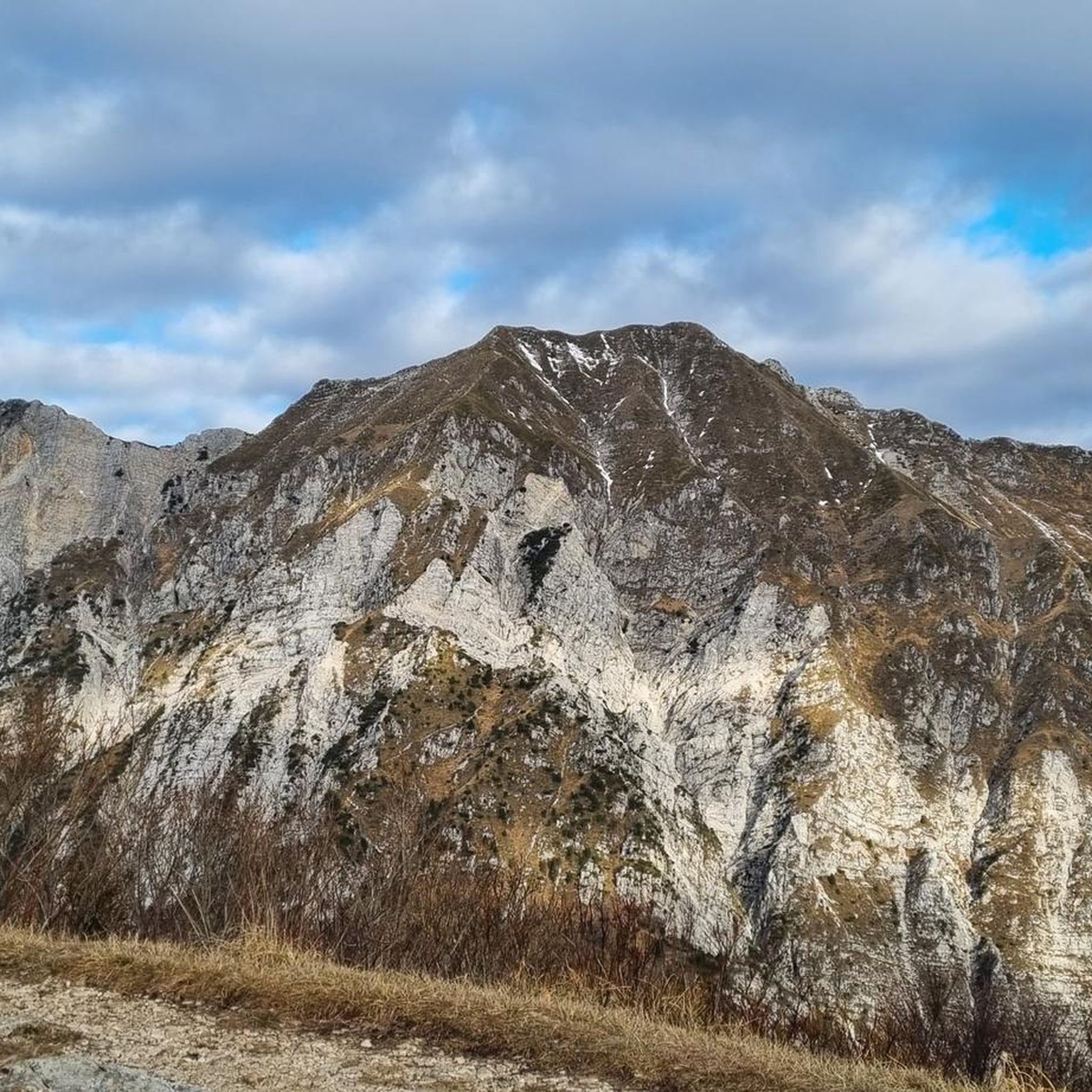
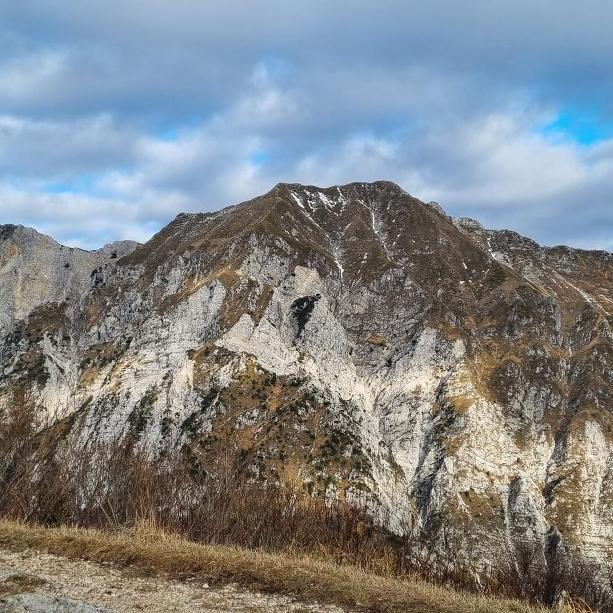
Touring cycling around Montenars, situated in Italy's Friuli Venezia Giulia region, features diverse landscapes. The area is characterized by its position on the southern slope of Mount Cuarnan, surrounded by a valley basin and flanked by Mounts Faeit and Cjampeón. It includes the Orvenco stream valley with its pools and waterfalls, and forests rich in chestnut trees. Montenars is also part of the UNESCO Biosphere Reserve and the Ecomuseo delle Acque, highlighting its natural and cultural elements.
Best touring cycling…
Last updated: October 1, 2026
4.5
(143)
715
riders
81.1km
04:49
390m
390m
Moderate bike ride. Good fitness required. Mostly paved surfaces. Suitable for all skill levels.
4.4
(26)
307
riders
34.3km
02:05
150m
150m
Moderate bike ride. Good fitness required. Mostly paved surfaces. Suitable for all skill levels.

4.6
(12)
129
riders
46.2km
03:51
1,340m
1,340m
Hard bike ride. Very good fitness required. Mostly paved surfaces. Suitable for all skill levels.
4.8
(9)
99
riders
29.6km
02:30
830m
830m
Hard bike ride. Very good fitness required. Mostly paved surfaces. Suitable for all skill levels.
4.8
(4)
78
riders
26.3km
01:32
140m
140m
Easy bike ride. Great for any fitness level. Mostly paved surfaces. Suitable for all skill levels.
Get access to more routes and recommendations from other explorers.
Already have an account?
Our route recommendations are based on thousands of hikes, rides, and runs completed by other people on komoot.
Start today with a free account
Your next adventure awaits.

Tips from the Community

A mega-cool, well-developed cycle path that offers the opportunity at this point to cycle over a "true relic" of the former railway line.
0
0
A mega-cool, well-developed cycle path that, at this point, offers the opportunity to cycle over a "true relic" of the former railway line.
0
0

The name Loggia di San Giovanni mainly refers to two important historical monuments located in the Friuli-Venezia Giulia region, each with profound architectural or cultural relevance
0
0

Beautiful cycle path, highly recommended
3
0
The bike path is simply beautiful
3
0
Super beautiful cycle path through many trees and bushes
3
0

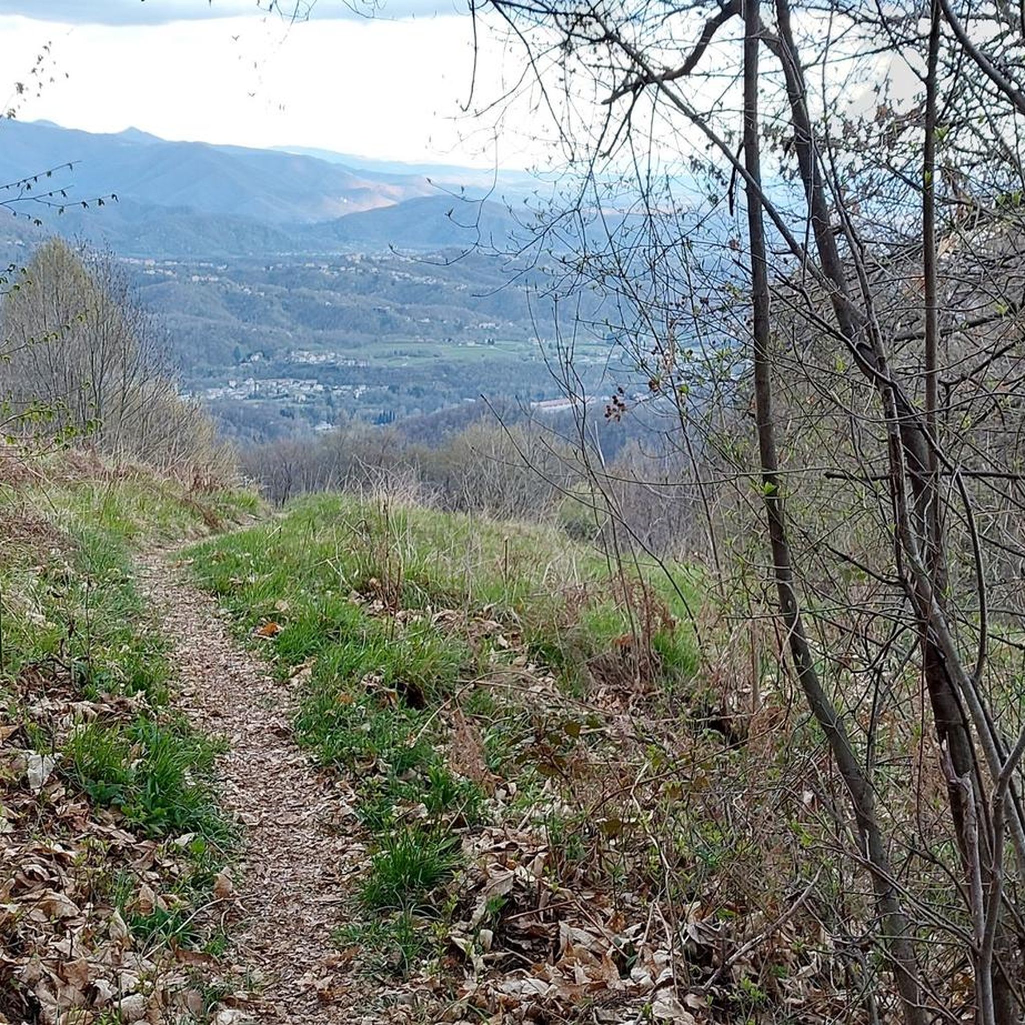
Felettano–Conoglano panoramic section without car traffic.
0
0
The Chiesa della Madonna dell'Orto was built in the 14th century and was completely renovated in the 15th century.
1
0
Frequently Asked Questions
What kind of terrain can I expect when touring cycling around Montenars?
Montenars offers a diverse range of terrain for touring cyclists. You'll find routes traversing mountainous landscapes, including the southern slope of Mount Cuarnan and areas flanked by Mounts Faeit and Cjampeón. The region also features the Orvenco stream valley with its natural pools and fords, as well as extensive chestnut forests. The trails vary from asphalt to gravel surfaces, with elevations up to 2000 meters, catering to different skill levels.
Are there any easy touring cycling routes suitable for beginners in Montenars?
Yes, Montenars has options for less experienced touring cyclists. Out of over 300 routes, approximately 80 are rated as easy. While specific easy routes are not detailed here, the region's network includes paths suitable for a more relaxed pace, allowing you to enjoy the scenery without significant challenges.
What natural features or landmarks can I see along the cycling routes in Montenars?
Montenars is rich in natural and historical attractions. Along your rides, you might encounter the Orvenco stream valley with its series of pools, fords, and waterfalls, or cycle through dense chestnut forests. The area is part of the UNESCO Biosphere Reserve and the Ecomuseo delle Acque, which preserves environmental elements like springs and rivers, as well as historical structures such as mills and wash houses. For historical sites, you could explore areas near Coia Castle or the Osoppo Fortress.
Are there any circular touring cycling routes in the Montenars area?
Yes, many touring cycling routes in Montenars are designed as loops. For instance, the popular Town Hall Square of Venzone – Venzone Earthquake Ruins loop from Artegna offers a moderate 34.3 km ride with historical views. Another option is the more challenging Artegna Castle and Clock Tower – Duomo di Gemona loop from Artegna, which takes you through historical towns and forested areas.
What is the best time of year for touring cycling in Montenars?
The diverse landscapes of Montenars, ranging from valley basins to mountainous terrain, suggest that spring and autumn would be ideal for touring cycling. These seasons typically offer milder temperatures and pleasant conditions for exploring the chestnut forests and the Orvenco stream valley, avoiding the heat of summer or potential snow in winter at higher elevations.
What do other touring cyclists say about their experience in Montenars?
The touring cycling routes around Montenars are highly regarded by the komoot community, with an average rating of 4.6 stars from over 2500 reviews. Cyclists often praise the varied terrain, from challenging climbs with panoramic vistas to scenic rides through historical towns and natural landscapes like the Orvenco stream valley.
Are there any challenging touring cycling routes in Montenars for experienced riders?
Absolutely. Montenars offers numerous challenging routes for experienced touring cyclists. For example, the Coia Castle – Piazza Libertà, Tarcento loop from Artegna is a difficult 46.2 km path featuring significant elevation gain of over 1300 meters and panoramic views. Another demanding option is the Tagliamento River Beach – View of the Tagliamento River loop from Artegna, spanning nearly 53 km with almost 1000 meters of ascent.
Can I find routes that connect Montenars with nearby towns?
Yes, the regional cycling network in Friuli Venezia Giulia, including routes like "The great ring of the Friulian hills (CX02)", aims to connect various towns and areas. Many routes around Montenars start from nearby Artegna and lead to other historical towns such as Venzone and Gemona, offering opportunities to explore the wider region.
What is the elevation gain like on touring cycling routes in Montenars?
The elevation gain on touring cycling routes in Montenars varies significantly, reflecting the region's mountainous character. While some routes offer gentler inclines, many feature substantial ascents. For instance, the Coia Castle – Piazza Libertà, Tarcento loop from Artegna has an elevation gain of over 1300 meters, and the Church of Sant'Andrea – Piazza Libertà, Tarcento loop from Artegna includes over 570 meters of climbing over its 73.7 km distance.
Are there any specific trails or areas known for waterfalls or water features?
Yes, the Orvenco stream valley is a notable natural attraction in Montenars, featuring a series of pools, fords, and waterfalls along its course. Cycling routes that follow or pass through this valley would offer opportunities to experience these water features.
How many touring cycling routes are available in the Montenars area?
There are over 300 touring cycling routes available in and around Montenars, catering to a wide range of abilities. This includes approximately 80 easy routes, 127 moderate routes, and 101 difficult routes, ensuring options for every touring cyclist.
Most popular routes around Montenars
Most popular attractions around Montenars

Get inspired with the komoot mobile app


Explore more
Browse the best Cycling routes in other regions.
