The best road cycling routes around Röthenbach (Allgäu)
4.6
(1298)
22,001
riders
39
rides
Road cycling routes around Röthenbach (Allgäu) traverse a diverse landscape situated between the Alps and Lake Constance. The region features rolling hills, verdant meadows, and dense forests, providing varied terrain for cyclists. The area is characterized by its scenic Argental valley and offers views of Lake Constance on some routes. This setting provides a mix of challenging climbs and more gentle sections for road cyclists.
Best road cycling routes around Röthenbach (Allgäu)
- The most popular road cycling route is On…
Last updated: July 5, 2026
4.6
(5)
79
riders
94.8km
04:21
1,060m
1,060m
Hard road ride. Very good fitness required. Some segments of this route may be unpaved and difficult to ride.
4.9
(32)
550
riders
70.0km
03:51
1,450m
1,450m
Hard road ride. Very good fitness required. Mostly well-paved surfaces and easy to ride.

Sign up for free
4.5
(27)
251
riders
48.1km
02:19
620m
620m
Moderate road ride. Good fitness required. Mostly well-paved surfaces and easy to ride.
5.0
(5)
70
riders
Hard road ride. Very good fitness required. Mostly well-paved surfaces and easy to ride.
5.0
(1)
70
riders
53.5km
03:10
1,300m
1,300m
Hard road ride. Very good fitness required. Some segments of this route may be unpaved and difficult to ride.
Get access to more routes and recommendations from other explorers.
Sign up for free
Already have an account?
Our route recommendations are based on thousands of hikes, rides, and runs completed by other people on komoot.
Start today with a free account
Your next adventure awaits.
Login or Signup
Popular around Röthenbach (Allgäu)

Discover the most beautiful road bike Tours in Allgäu
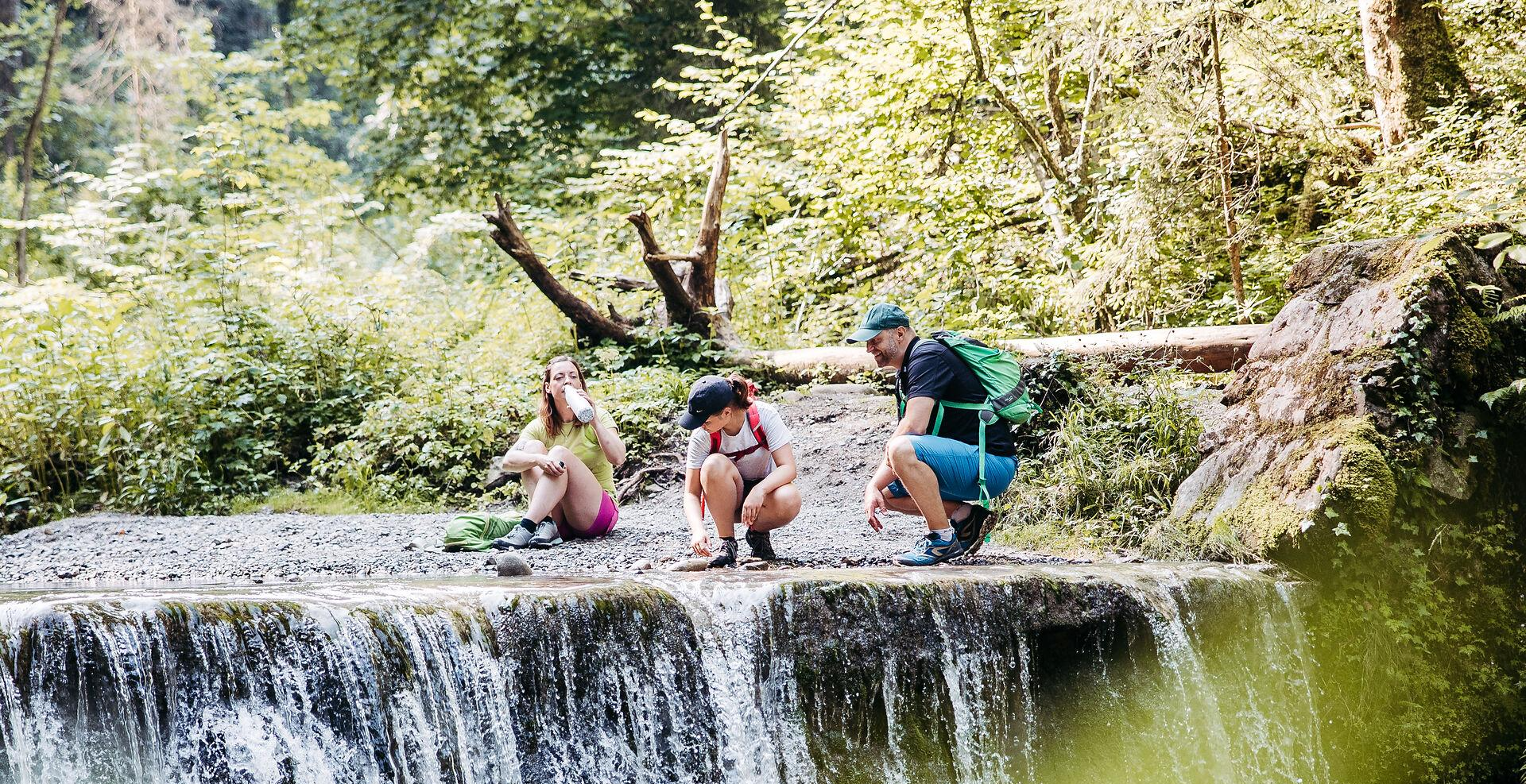
Westallgäuer Wasserwege
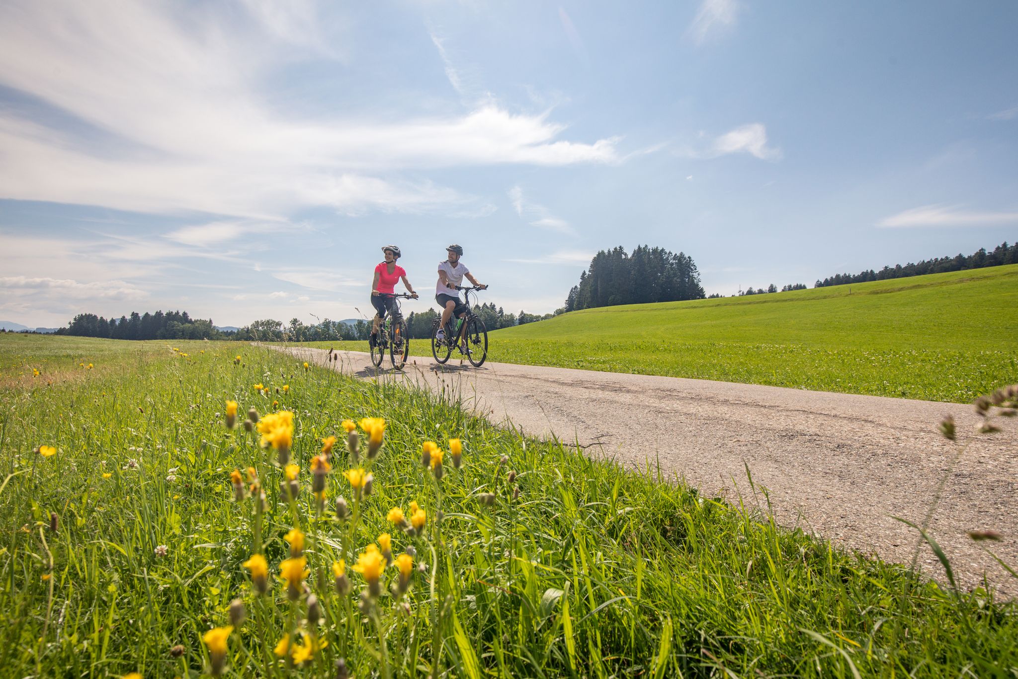
Traumhaftes Westallgäu – Erkunde mit dem Rad den Südwesten Bayerns
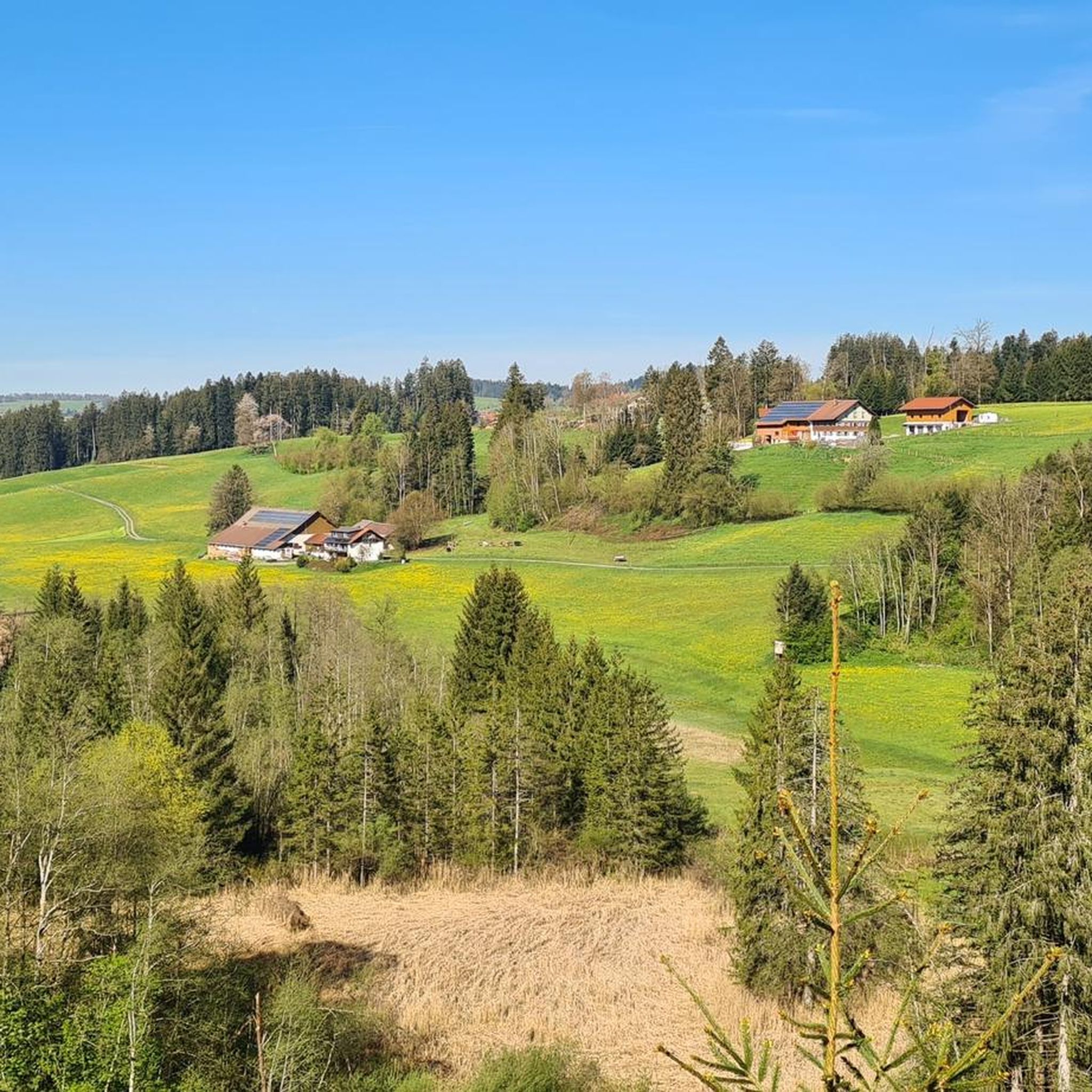
Cycling around Röthenbach (Allgäu)
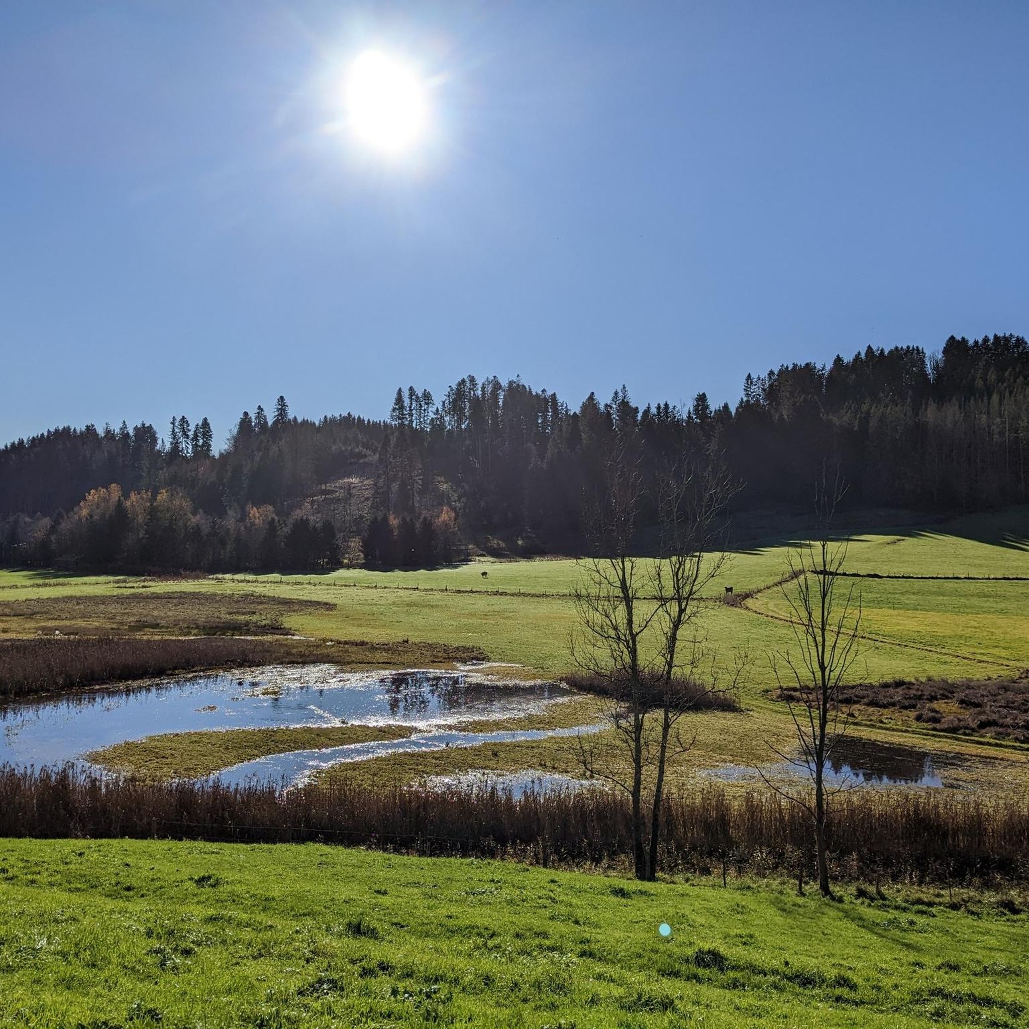
Hiking around Röthenbach (Allgäu)
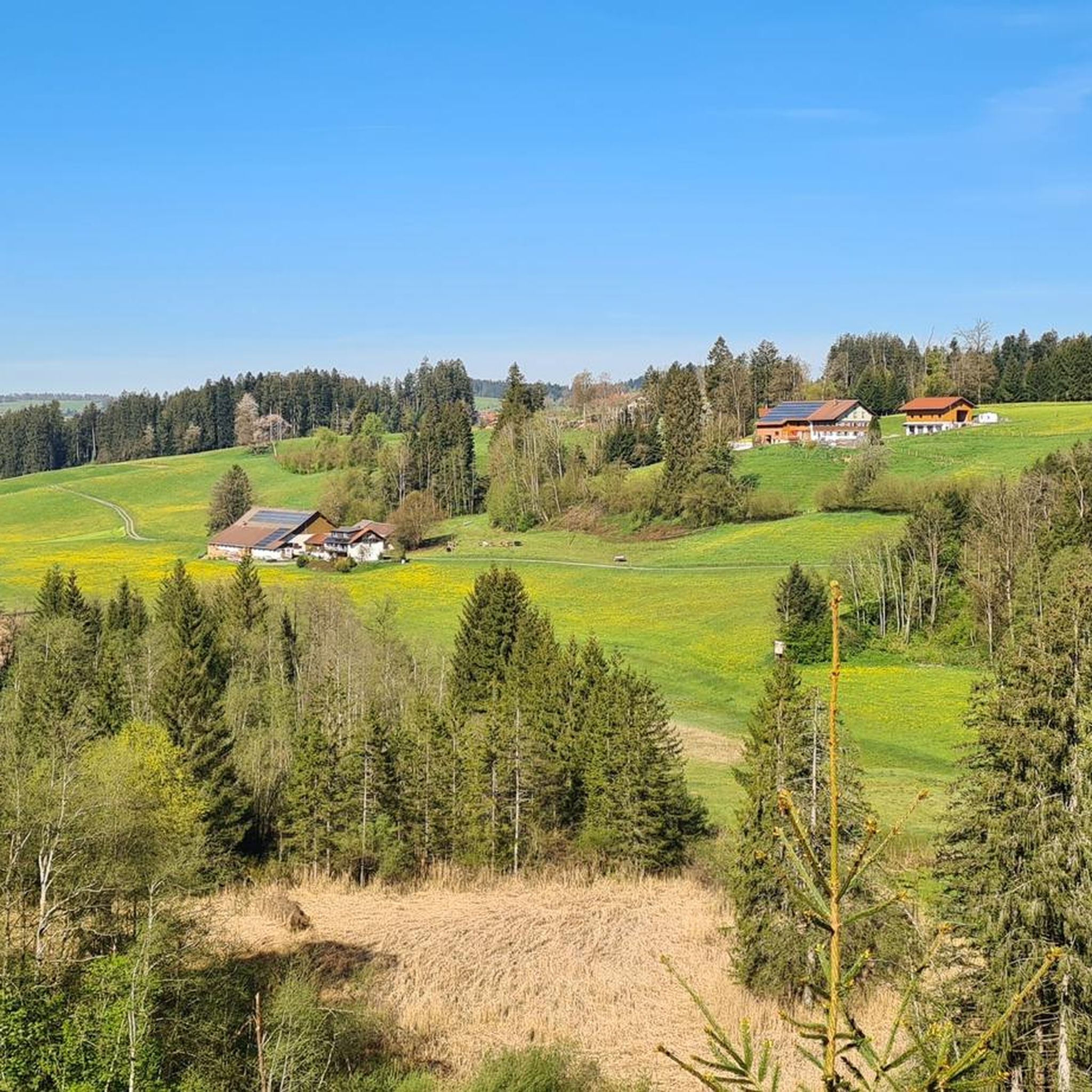
MTB Trails around Röthenbach (Allgäu)
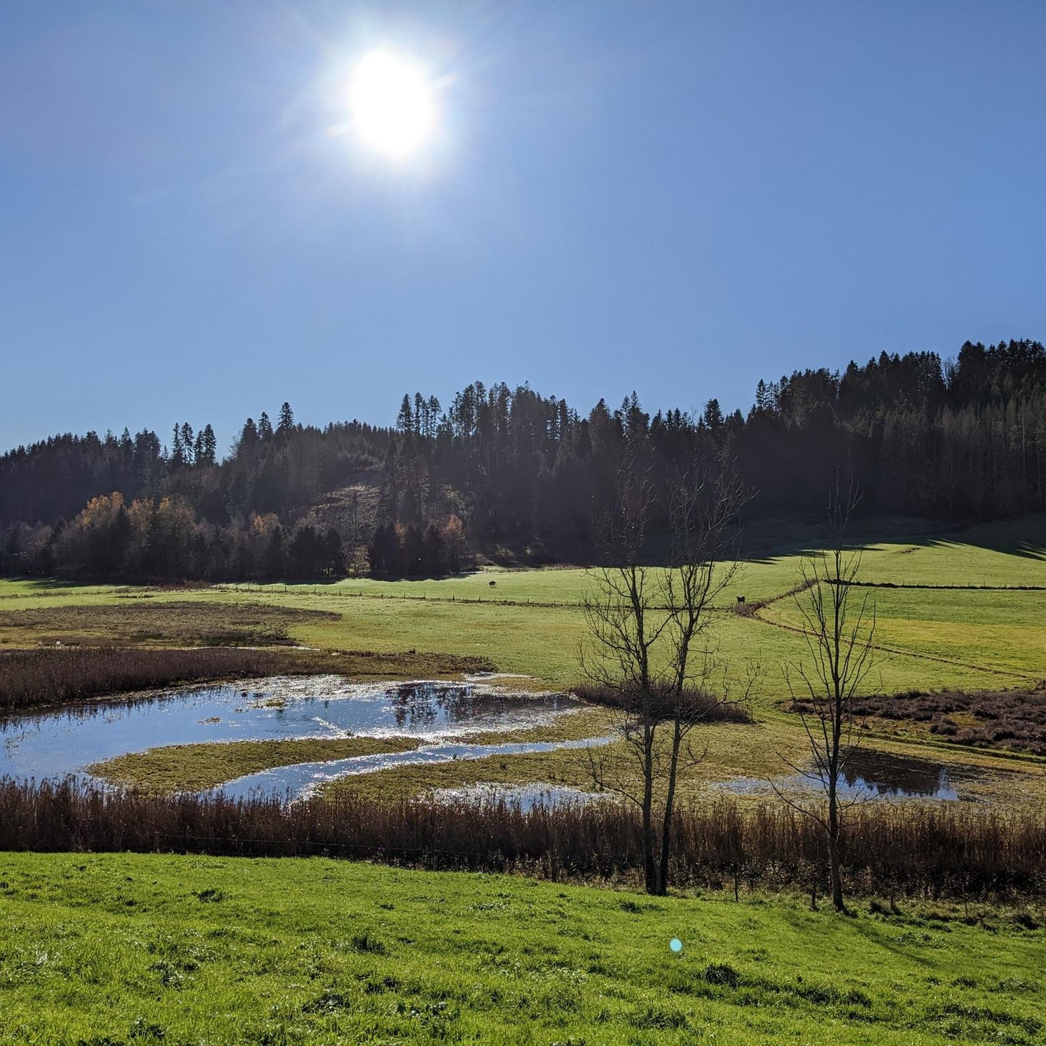
Running Trails around Röthenbach (Allgäu)

Gravel biking around Röthenbach (Allgäu)
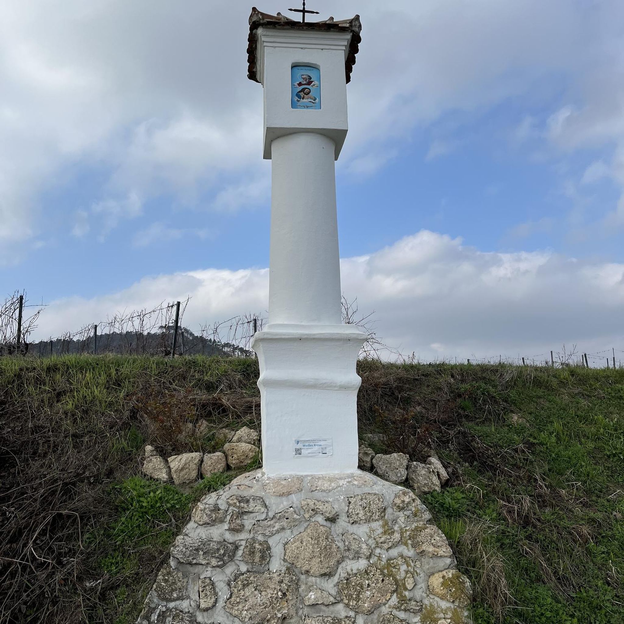
Mountain Hikes around Röthenbach (Allgäu)


Tips from the Community

Coming from Oberreute it is the easy ascent
0
0

Mega View from this Mega Street
1
0

Beautiful view of the Bregenzerwald, it is worth a stop
1
0

The border between Germany (Bavaria) and Austria (Vorarlberg) runs partially along the Eyenbach. The Eyenbach is a left tributary of the Rotach and forms the border in one section.
0
0

The effort is worth it with this magnificent view of the Swabian Sea
1
0
Mega view of the tri-border region
2
0
magnificent mountain panorama, great view
2
0
Very scenic and good asphalt :-)
1
0
Frequently Asked Questions
What kind of terrain can I expect on road cycling routes around Röthenbach (Allgäu)?
The region offers a diverse landscape with rolling hills, verdant meadows, and dense forests. You'll find a mix of challenging climbs and more gentle sections, characteristic of the scenic Argental valley and the area situated between the Alps and Lake Constance.
Are there road cycling routes suitable for beginners or those looking for an easier ride?
While many routes in Röthenbach (Allgäu) feature significant elevation gain, there are options for varying ability levels. For example, the Warmhalden Scenic Road – Röthenbach Climb loop from Röthenbach (Allgäu) is rated as moderate, offering a good balance for those seeking a less strenuous but still engaging ride.
What are some of the most scenic viewpoints or natural features I can see while road cycling in the region?
Many routes offer panoramic views, including glimpses of Lake Constance. The region is also home to impressive natural features like the Eistobel Waterfalls and the Scheidegg Waterfalls, which are significant natural monuments. The overall West Allgäu landscape provides a rich variety of scenery.
Are there any circular road cycling routes starting from Röthenbach (Allgäu)?
Yes, many routes are designed as loops, allowing you to start and end in Röthenbach (Allgäu). Examples include the challenging View of Lake Constance loop from Röthenbach (Allgäu) and the Northern Ascent to Lorenapass – Lorenapass loop from Röthenbach (Allgäu).
What historical or cultural attractions can I explore near the road cycling routes?
Beyond the natural beauty, you can explore historical sites such as the Old Town of Isny im Allgäu and the Martinstor (Lindau Gate) in Wangen im Allgäu. The Rentershofener Bahndamm, a massive railway embankment from the mid-19th century, also offers guided tours for those interested in its history.
What is the best time of year for road cycling in Röthenbach (Allgäu)?
The region is generally excellent for outdoor activities. Spring through autumn offers the most favorable conditions with pleasant temperatures and vibrant scenery. While winter cycling might be possible, some routes could be affected by snow or ice, especially at higher elevations.
How many road cycling routes are available around Röthenbach (Allgäu)?
There are nearly 40 road cycling routes available around Röthenbach (Allgäu) on komoot, catering to various skill levels from moderate to difficult.
What do other road cyclists say about the routes in Röthenbach (Allgäu)?
The road cycling routes in Röthenbach (Allgäu) are highly rated by the komoot community, with an average score of 4.8 stars from over 80 reviews. Cyclists often praise the varied terrain, scenic views towards Lake Constance, and the well-maintained network of paths.
Are there any long-distance road cycling trails that connect through Röthenbach (Allgäu)?
Röthenbach serves as a prime starting point or a segment of several well-known long-distance tours, including the Radrunde Allgäu and the Bodensee-Königsee Radweg, offering extensive cycling opportunities.
Where can I find parking for road cycling routes in Röthenbach (Allgäu)?
Röthenbach (Allgäu) is a popular starting point for many routes, and parking options are generally available within the town or at designated trailheads. Specific parking details can often be found on individual route descriptions on komoot.
Are there any family-friendly road cycling routes in the area?
While many routes feature significant climbs, the diverse landscape means there are also gentler sections. For family-friendly options, look for routes described as moderate or those that stick to flatter valley sections, though dedicated family-specific road cycling routes might require careful selection based on distance and elevation.
Can I access road cycling routes in Röthenbach (Allgäu) using public transport?
Röthenbach (Allgäu) is generally accessible by public transport, which can facilitate reaching starting points for various routes. Checking local bus or train schedules for connections to Röthenbach and surrounding villages is recommended for planning your trip.
Most popular routes around Röthenbach (Allgäu)
Most popular attractions around Röthenbach (Allgäu)

Get inspired with the komoot mobile app


Explore more
Browse the best Road cycling routes in other regions.
