The best walks and hikes around Malosco
4.4
(4375)
21,356
hikers
16
hikes
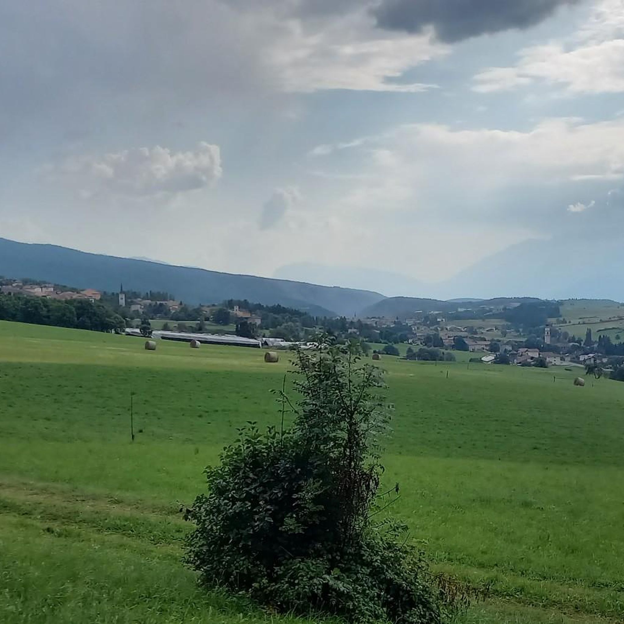
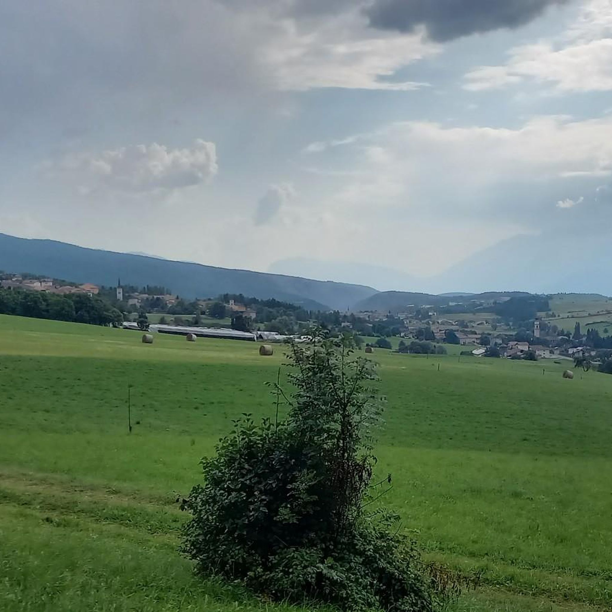
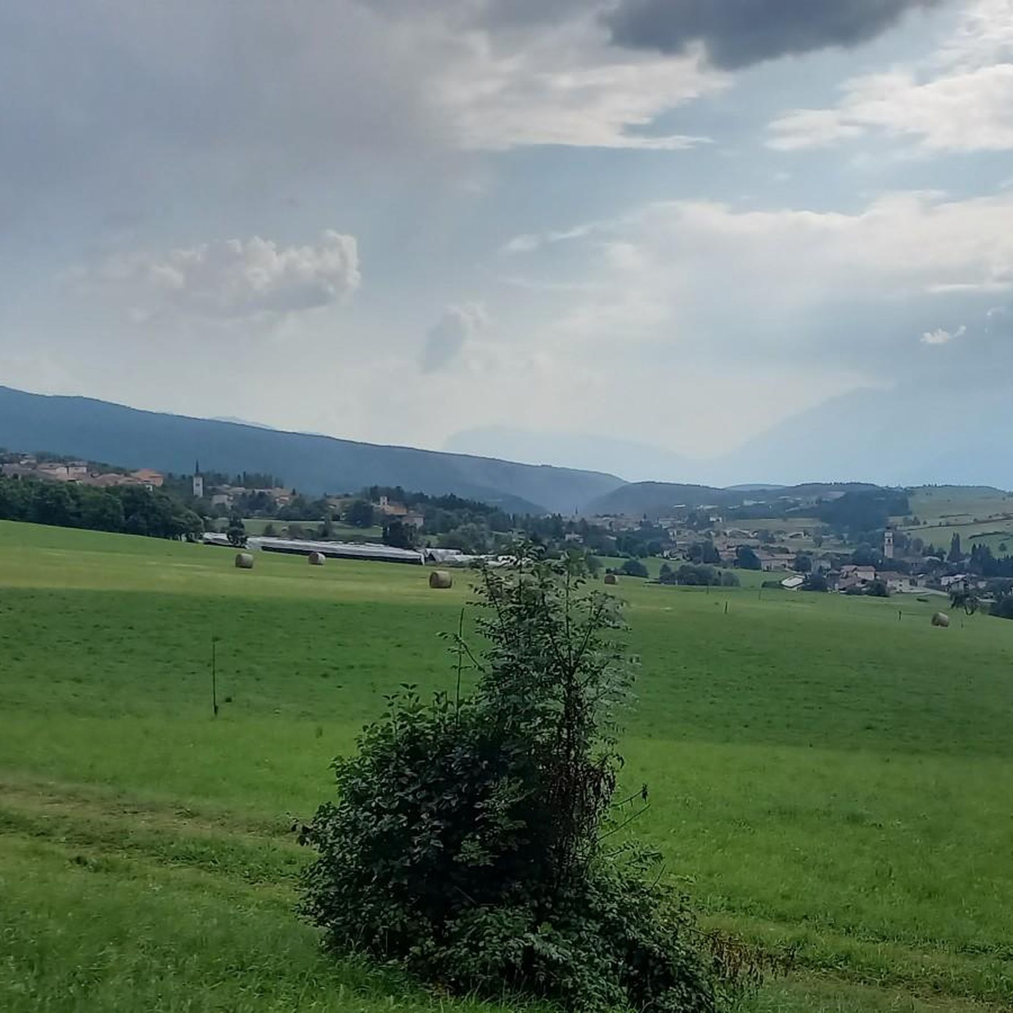
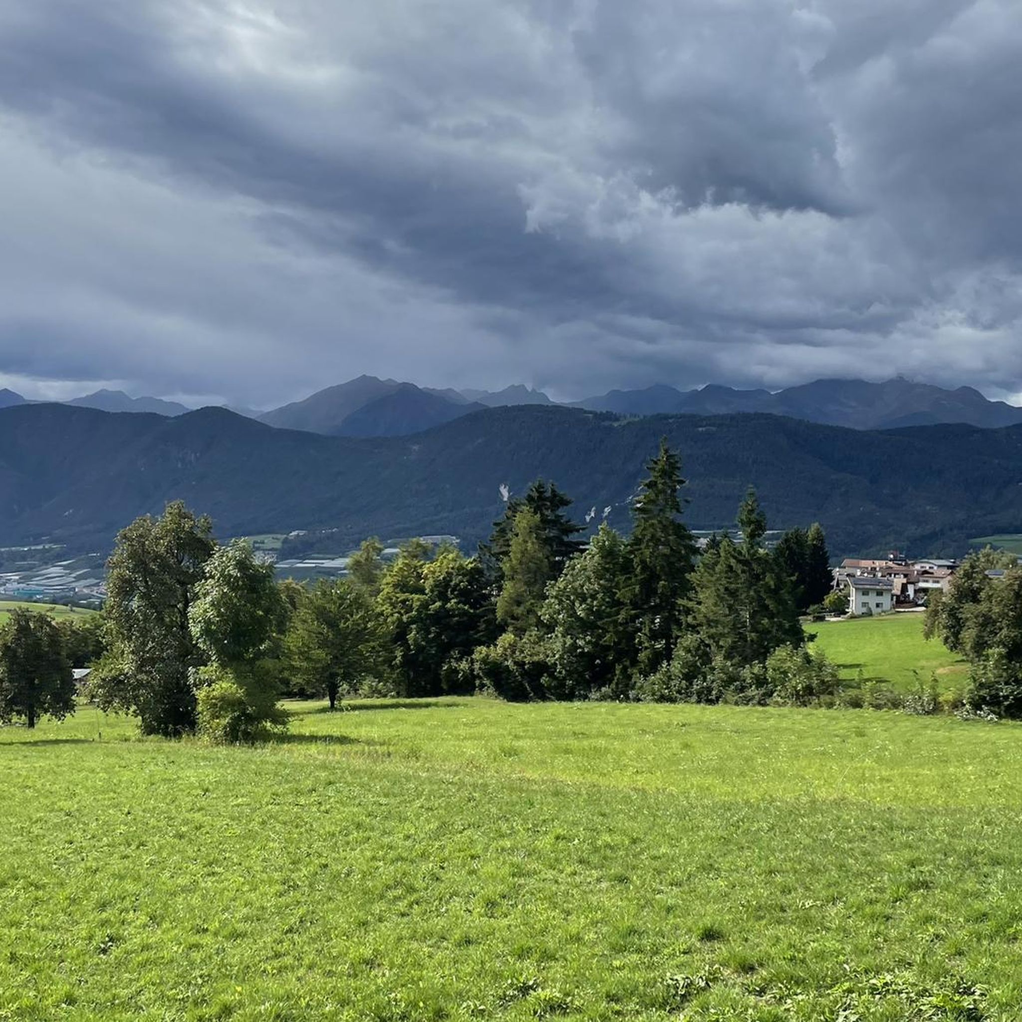
Hiking around Malosco, situated in Italy's Val di Non, is characterized by a diverse landscape of hills, forests, and lakes. The region features a sloping plateau with an average elevation of 1,041 meters, offering varied terrain for outdoor activities. Hikers can explore wide alpine meadows, magnificent larch forests, and unique natural features like canyons and lakes. The area provides panoramic vistas of the Dolomites and the Adige Valley.
Best hiking trails around Malosco
- The most popular hiking route is Monte Penegal Tower Trail from Regole di Malosco, a 8.8 miles (14.1 km) trail that takes 4 hours 31 minutes to complete. This route offers an alpine meadow experience through larch forests with views of the Italian Alps.
- Another top favourite among local hikers is Sentiero Italia, Stage C06: Fondo to Penegal Loop, a difficult 10.9 miles (17.5 km) path. This trail provides long-distance hiking opportunities with panoramic vistas towards the Dolomites.
- Local hikers also love the Canyon Rio Sass – Canyon Rio Sass loop from Malosco, a 2.0 miles (3.3 km) trail leading through unique canyon formations, often completed in about 56 minutes.
- Hiking around Malosco is defined by alpine meadows, larch forests, and deep canyons. The extensive network of paths offers options for various ability levels, from easy family-friendly routes to challenging alpine trails.
- The routes in Malosco are highly rated by the komoot community with an average score of 4.4 stars from over 3,900 reviews. More than 19,000 hikers have used komoot to explore Malosco's varied terrain.
Last updated: October 10, 2026
4.9
(16)
48
hikers
14.1km
04:31
630m
630m
Alpine meadow hike through larch cathedrals to a historic tower with panoramic Dolomites views.
4.3
(3)
18
hikers
17.5km
05:17
570m
580m
Hike the Sentiero Italia C06 from Fondo to Rifugio Oltradige via Val di Non, a difficult 10.9-mile route with 1885 feet of elevation gain.

4.7
(72)
229
hikers
7.98km
02:19
200m
200m
Moderate hike. Good fitness required. Easily-accessible paths. Suitable for all skill levels.
4.9
(14)
60
hikers
4.32km
01:20
150m
150m
Easy hike. Great for any fitness level. Easily-accessible paths. Suitable for all skill levels.
5.0
(2)
44
hikers
5.85km
01:34
70m
70m
Easy hike. Great for any fitness level. Easily-accessible paths. Suitable for all skill levels.
Get access to more routes and recommendations from other explorers.
Already have an account?
Our route recommendations are based on thousands of hikes, rides, and runs completed by other people on komoot.
Start today with a free account
Your next adventure awaits.

Tips from the Community

everyone kind and very courteous... quiet place, simple, but really nice
0
0
Ice cream with warm berries on top... one of the best I've ever eaten!!
0
0

Holiday in Tramin. Today by car up the Mendel Pass to Mendel. What a drive. From there on foot to Penegal. Great route, mega view, nice hiking buddies, many photos, a short stop for refreshments and then it was already time to head back.
0
0

Hello everyone. We went through the gorge in 2017. It was freely accessible then. The guided tour was OPTIONAL. The maps on Komoot also show no closures. Can someone check Karin's statement, whether it is only possible with a guide now?
0
0

Very loving and friendly hosts, delicious food, and a wonderful spot! Definitely worth a visit!
1
0
Hiking boots, water, a towel. Maybe a spare T-shirt for the inn. We just hiked up the mountain!
0
0


Frequently Asked Questions
How varied are the hiking trails in Malosco?
Malosco and the broader Val di Non region offer a diverse range of hiking trails suitable for all skill levels. You'll find everything from easy, family-friendly walks to challenging alpine routes. The area features wide alpine meadows, magnificent larch forests, and unique natural features like canyons and lakes. For example, the Monte Penegal Tower Trail from Regole di Malosco is a moderate route, while the Sentiero Italia, Stage C06: Fondo to Penegal Loop offers a more difficult, long-distance experience.
Are there family-friendly hiking options in Malosco?
Yes, Malosco provides several easy and accessible paths perfect for families. These routes often lead through gentle terrain, allowing everyone to enjoy the natural beauty of the Val di Non. An example of an easy route is the Canyon Rio Sass – Canyon Rio Sass loop from Malosco, which is relatively short and takes about an hour to complete.
Can I bring my dog on hikes in Malosco?
Many trails in Malosco are suitable for hiking with dogs, allowing you to explore the beautiful landscapes together. It's always advisable to keep your dog on a leash, especially in protected areas or near livestock, and to check local regulations for specific trails. Ensure you carry water for your pet, particularly on longer routes.
Are there any hikes that feature waterfalls or unique natural attractions?
Absolutely. The region is known for its stunning natural features. You can explore the unique canyon formations on the Canyon Rio Sass – Emerald Lake loop from Fondo. Additionally, the Rastenbach Gorge Waterfall and Rastenbachklamm Waterfall are notable attractions that can be incorporated into your hiking plans.
Where can I find the best panoramic views in Malosco?
For breathtaking panoramic views, consider ascending Monte Penegal. Trails like the Monte Penegal Tower Trail from Regole di Malosco offer stunning vistas of the Italian Alps and the Dolomites. You can also find incredible views of Lake Kaltern and the Dolomites from Penegal itself, or enjoy the Alpine panorama with a view of Lake Kaltern.
Are there many circular hiking routes available?
Yes, Malosco offers a good selection of circular hiking routes, allowing you to start and end your journey in the same location. Many itineraries lead to alpine pastures (malghe) or explore natural attractions like canyons. The Canyon Rio Sass – Canyon Rio Sass loop from Malosco is a popular example of a circular trail.
Is parking available at the trailheads?
Parking is generally available near popular trailheads and starting points in and around Malosco. Specific parking information can often be found on individual route descriptions or local tourism websites. It's always a good idea to check in advance, especially during peak season.
Can I access hiking trails in Malosco using public transport?
Public transport options are available in the Val di Non region, which can help you reach various starting points for hikes. For example, the Gampenpass (Passo Palade) bus stop provides access to trails in that area. We recommend checking local bus schedules and routes to plan your journey effectively.
What is the best time of year to go hiking in Malosco?
The best time for hiking in Malosco is typically from late spring to early autumn (May to October). During these months, the weather is generally pleasant, and trails are clear of snow. Autumn offers particularly beautiful scenery with changing foliage. Always check local weather forecasts before heading out.
Is winter hiking possible in Malosco?
While many trails may be covered in snow during winter, some routes are suitable for winter hiking, snowshoeing, or cross-country skiing. The Regole di Malosco area, with its wide alpine meadows and larch forests, can be particularly beautiful in winter. Always ensure you have appropriate gear and check trail conditions and avalanche warnings before embarking on a winter hike.
What other attractions can I explore near the hiking trails in Malosco?
Beyond the trails, Malosco and the Val di Non offer several points of interest. You can visit historical sites like Castel Malosco or the Sanctuary of San Romedio. Natural attractions include the artificial Santa Giustina Lake and Lago di Tovel. For those interested in mountain passes, the Mendel Pass (Passo della Mendola) is also nearby.
What do other hikers enjoy the most about hiking in Malosco?
The hiking trails in Malosco are highly rated by the komoot community, with an average score of 4.4 stars from over 3,900 reviews. Hikers often praise the diverse landscapes, from alpine meadows and larch forests to deep canyons. The well-marked paths and the variety of difficulty levels, catering to both casual walkers and experienced mountaineers, are frequently highlighted.
Most popular routes around Malosco
Most popular attractions around Malosco

Get inspired with the komoot mobile app


Explore more
Browse the best Hikes in other regions.
