The best road cycling routes around Rosenkopf
4.5
(422)
4,370
riders
199
rides
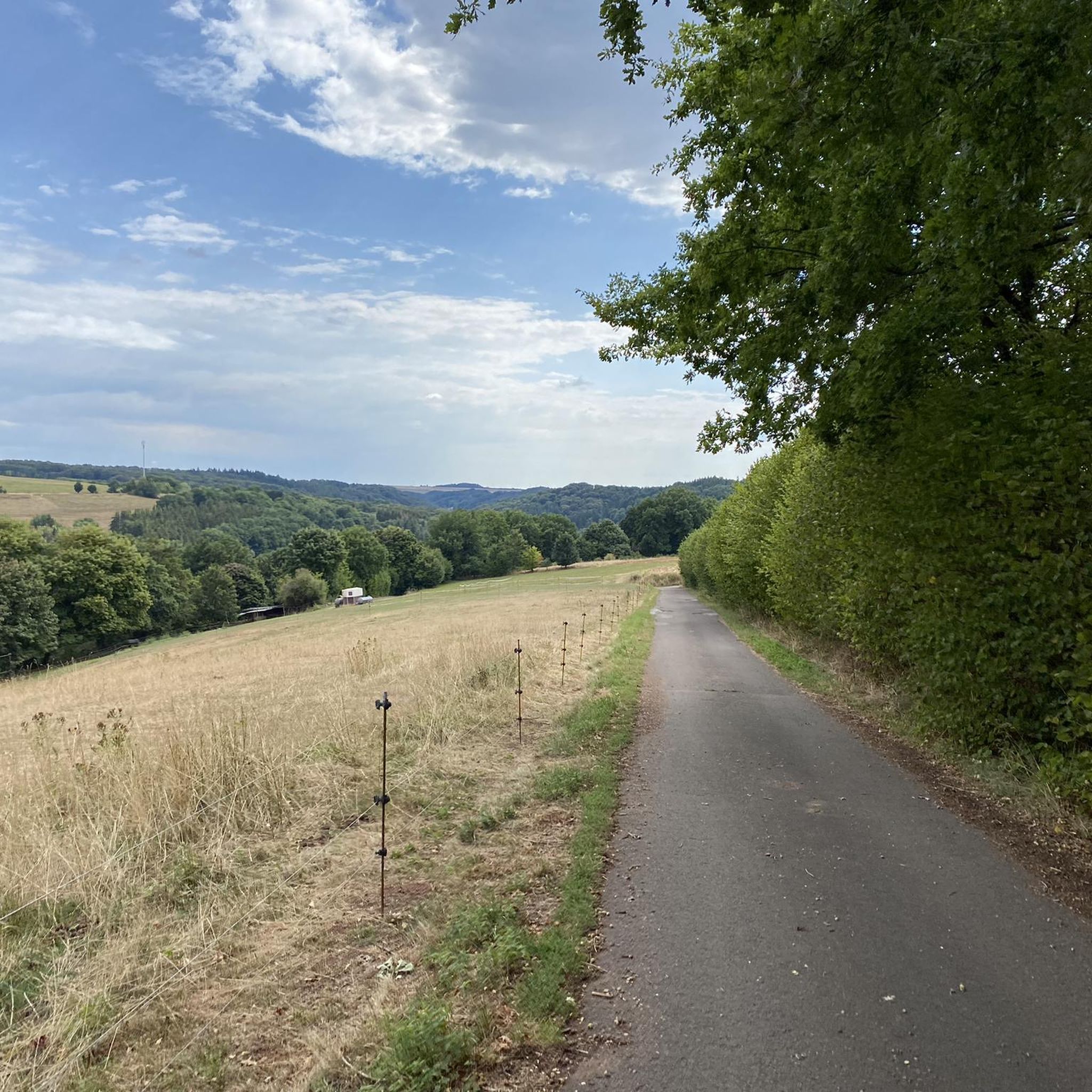
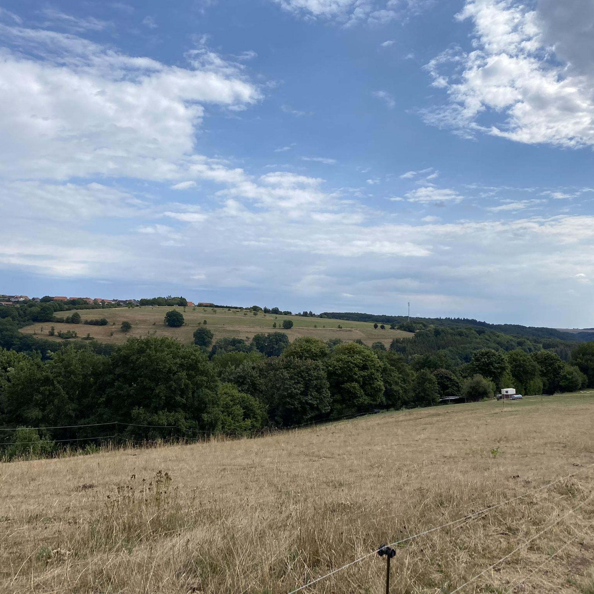
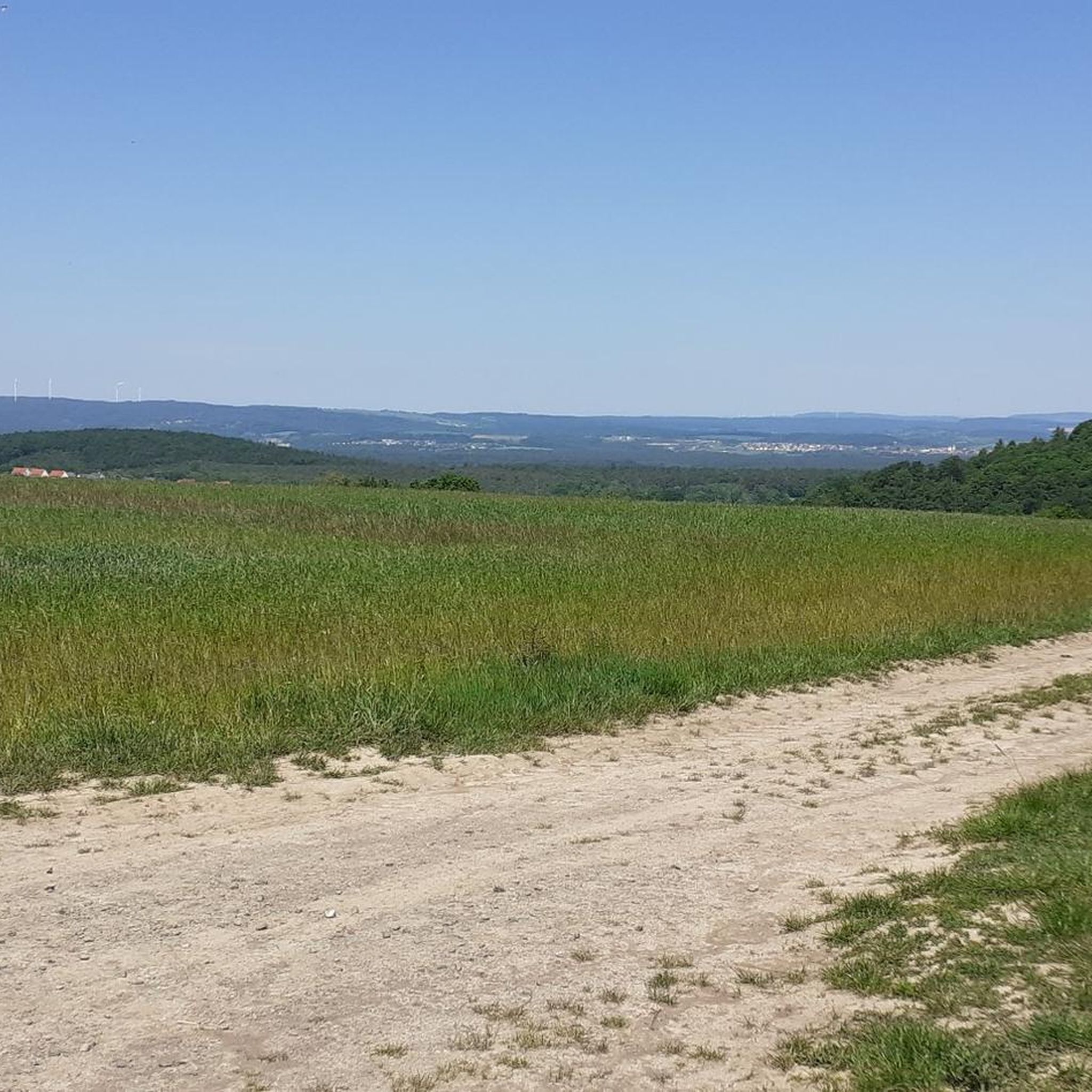
Road cycling routes around Rosenkopf traverse a landscape characterized by rolling hills, open countryside, and areas of mixed forest. The region features routes that connect small towns and villages, offering varied terrain with moderate elevation gains suitable for road cycling. Routes often include sections with views of the surrounding rural environment.
Best road cycling routes around Rosenkopf
- The most popular road cycling route is Kirchberg – Road Signs at Spesbach loop from Lambsborn, a 26.3 miles (42.3 km) trail that takes 1 hour 52 minutes to complete, offering a journey through the local road network.
- Another top favourite among local road cyclists is Homburger Bergrennen Route – Scenic Route from Homburg to Käshofen loop from Lambsborn, a moderate 18.3 miles (29.4 km) path. This route provides scenic views between Homburg and Käshofen.
- Local road cyclists also love the Jägersburg Castle – Brückweiher Lake loop from Rosenkopf, a 28.4 miles (45.7 km) trail leading through areas featuring Jägersburg Castle and Brückweiher Lake, often completed in about 2 hours 2 minutes.
- Road cycling around Rosenkopf is defined by rolling hills, open fields, and routes passing through local towns. The network offers options for various ability levels, from moderate to more challenging rides.
- The routes in Rosenkopf are highly rated by the komoot community with an average score of 4.5 stars from over 400 reviews. More than 4000 road cyclists have used komoot to explore Rosenkopf's varied terrain.
Last updated: July 5, 2026
4.3
(3)
33
riders
42.3km
01:52
380m
380m
Moderate road ride. Good fitness required. Mostly well-paved surfaces and easy to ride.
24
riders
Moderate road ride. Good fitness required. Mostly well-paved surfaces and easy to ride.

Sign up for free
4.5
(2)
21
riders
32.6km
01:19
160m
160m
Easy road ride. Great for any fitness level. Mostly well-paved surfaces and easy to ride.
9
riders
45.0km
02:01
440m
440m
Moderate road ride. Good fitness required. Mostly well-paved surfaces and easy to ride.
5.0
(1)
7
riders
72.7km
03:35
850m
850m
Moderate road ride. Good fitness required. Some segments of this route may be unpaved and difficult to ride.
Get access to more routes and recommendations from other explorers.
Sign up for free
Already have an account?
Our route recommendations are based on thousands of hikes, rides, and runs completed by other people on komoot.
Start today with a free account
Your next adventure awaits.
Login or Signup
Tips from the Community

The Glan-Blies cycle path through the Bliestal meadows is one of the most beautiful sections of the route.
0
0
The viewpoint in the Beeder Bruch nature reserve offers beautiful views of extensive wetlands and protected habitats. It is an ideal place for birdwatching and enjoying the region's tranquil nature.
0
0

High city gate, structurally connected to the adjacent buildings.
7
0

It's always lovely to see the animals there.
0
0

Small city gate with access to Hornbach.
4
0
Beautiful entrance to Hornbach.
4
0

A dream of an avenue, but the surface is not consistently good.
0
0

One country road (yellow), a little further on the motorway (blue). Great, absolutely great.
2
1
Frequently Asked Questions
How many road cycling routes are available around Rosenkopf?
There are over 200 road cycling routes in the Rosenkopf area, offering a wide range of options for different skill levels and preferences.
Are there road cycling routes suitable for beginners or those looking for an easier ride?
Yes, Rosenkopf offers 37 easy road cycling routes. While the provided specific routes are moderate, the region generally provides options for various ability levels. These routes typically feature gentler gradients and shorter distances, ideal for a relaxed ride.
What kind of elevation gains can I expect on road cycling routes in Rosenkopf?
The road cycling routes around Rosenkopf are characterized by rolling hills, meaning you can expect moderate elevation gains. For example, the Kirchberg – Road Signs at Spesbach loop from Lambsborn has an elevation gain of approximately 381 meters over 42.3 km, while the Ascent Past Morschelweiher – Hornbach Town Gate loop from Käshofen features around 851 meters of ascent over 72.6 km.
Are there any challenging road cycling routes for experienced riders?
Yes, for experienced riders seeking a challenge, Rosenkopf offers 31 difficult road cycling routes. These routes typically feature longer distances and more significant elevation changes, providing a demanding yet rewarding experience through the region's varied terrain.
What scenic attractions can I see along the road cycling routes in Rosenkopf?
Many routes offer scenic views and pass by interesting landmarks. For instance, the Jägersburg Castle – Brückweiher Lake loop from Rosenkopf takes you past Brückweiher Lake. Other highlights in the broader area include Ohmbach Lake and the Beeder Bruch Nature Reserve.
Are there any circular road cycling routes in Rosenkopf?
Yes, many of the road cycling routes in Rosenkopf are designed as loops, allowing you to start and end at the same point. Examples include the popular Homburger Bergrennen Route – Scenic Route from Homburg to Käshofen loop from Lambsborn and the Café Schmidt – Vogelbach Simultaneous Church loop from Rosenkopf.
What do other road cyclists say about the routes in Rosenkopf?
The road cycling routes in Rosenkopf are highly regarded by the komoot community, holding an average rating of 4.5 stars from over 400 reviews. Cyclists often praise the varied terrain, the well-maintained roads, and the charming villages encountered along the way.
Are there places to stop for refreshments like cafes or pubs along the routes?
While specific cafes and pubs are not detailed for every route, the region's routes often connect small towns and villages. For example, the Café Schmidt – Vogelbach Simultaneous Church loop from Rosenkopf suggests a stop at Café Schmidt. You can also find various huts and restaurants in the area, such as the Fisherman's Hut at Kirrberg Pond or the Fritz Claus Hut (PWV Martinshöhe), which are popular stops.
Is it possible to access road cycling routes in Rosenkopf using public transport?
While specific public transport connections to every trailhead are not detailed, many routes start from or pass through towns and villages that may have local bus services. Planning your route with komoot can help identify start points accessible by public transport, though a car is often the most convenient option for reaching specific trailheads in rural areas.
What is the best time of year for road cycling in Rosenkopf?
The best time for road cycling in Rosenkopf is typically from spring through autumn (April to October). During these months, the weather is generally mild, and the roads are clear, offering ideal conditions to enjoy the rolling hills and open countryside. Summer months can be warm, while spring and autumn provide pleasant temperatures and beautiful scenery.
Are there any hidden gem road cycling routes in the Rosenkopf area?
While the most popular routes are well-known, the extensive network of over 200 routes means there are many less-traveled paths waiting to be discovered. Exploring routes that connect smaller villages or venture into quieter forest sections can reveal charming, less-frequented roads and scenic spots away from the main thoroughfares.
Most popular attractions around Rosenkopf

Get inspired with the komoot mobile app


Explore more
Browse the best Road cycling routes in other regions.
