The best gravel rides around Rosenkopf
4.7
(71)
236
riders
29
rides
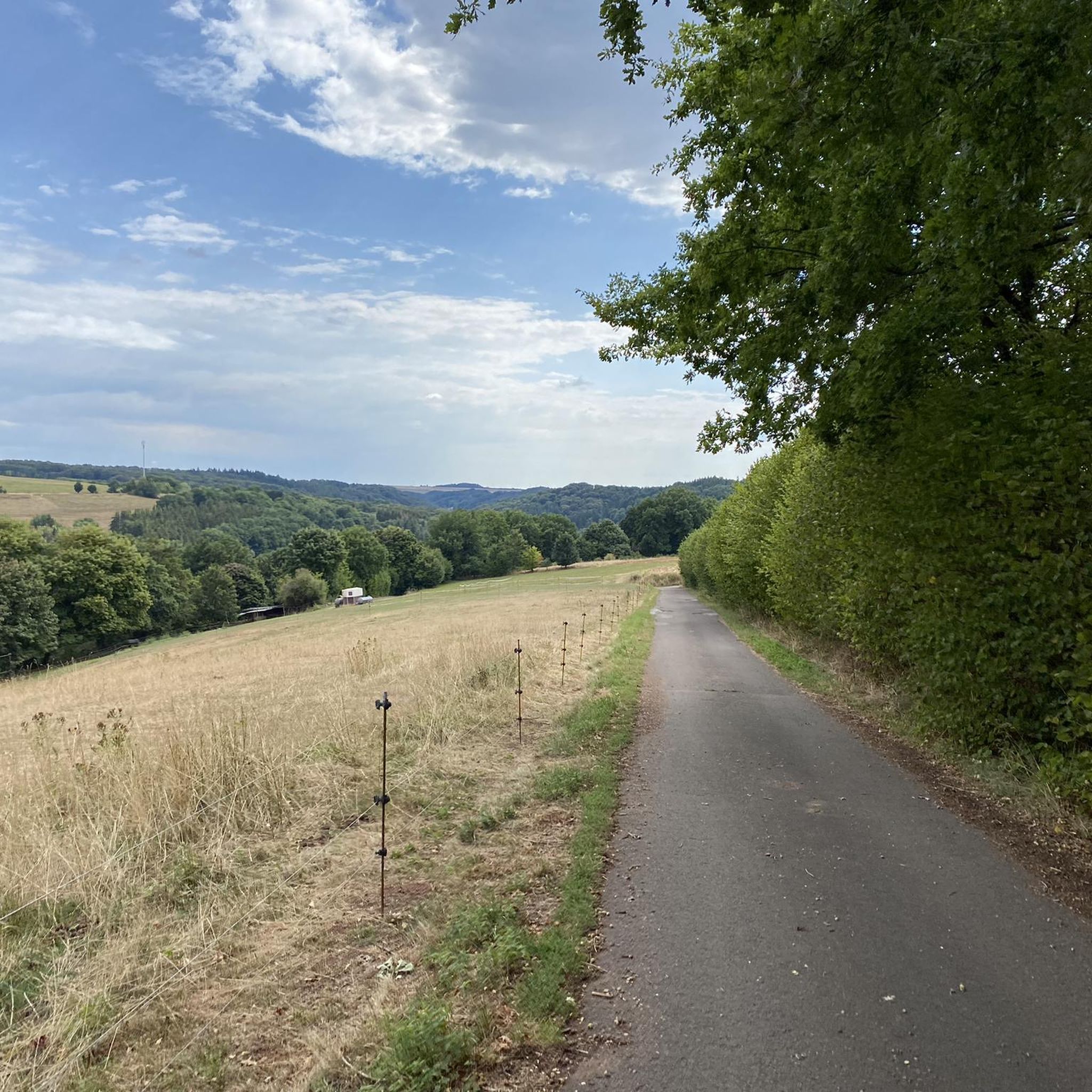
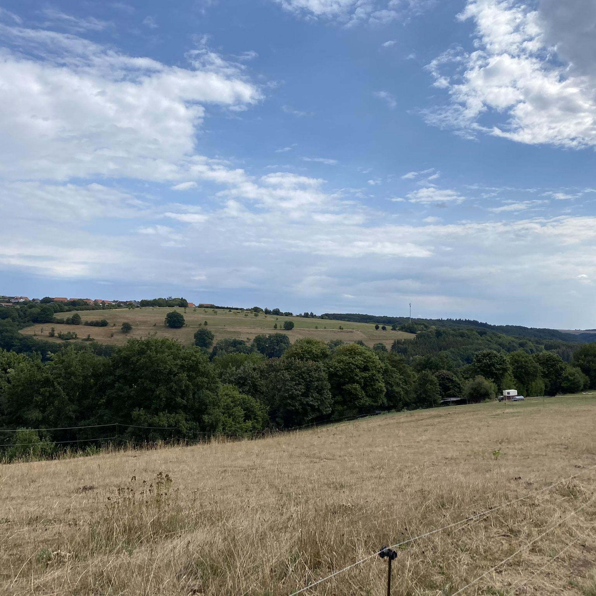
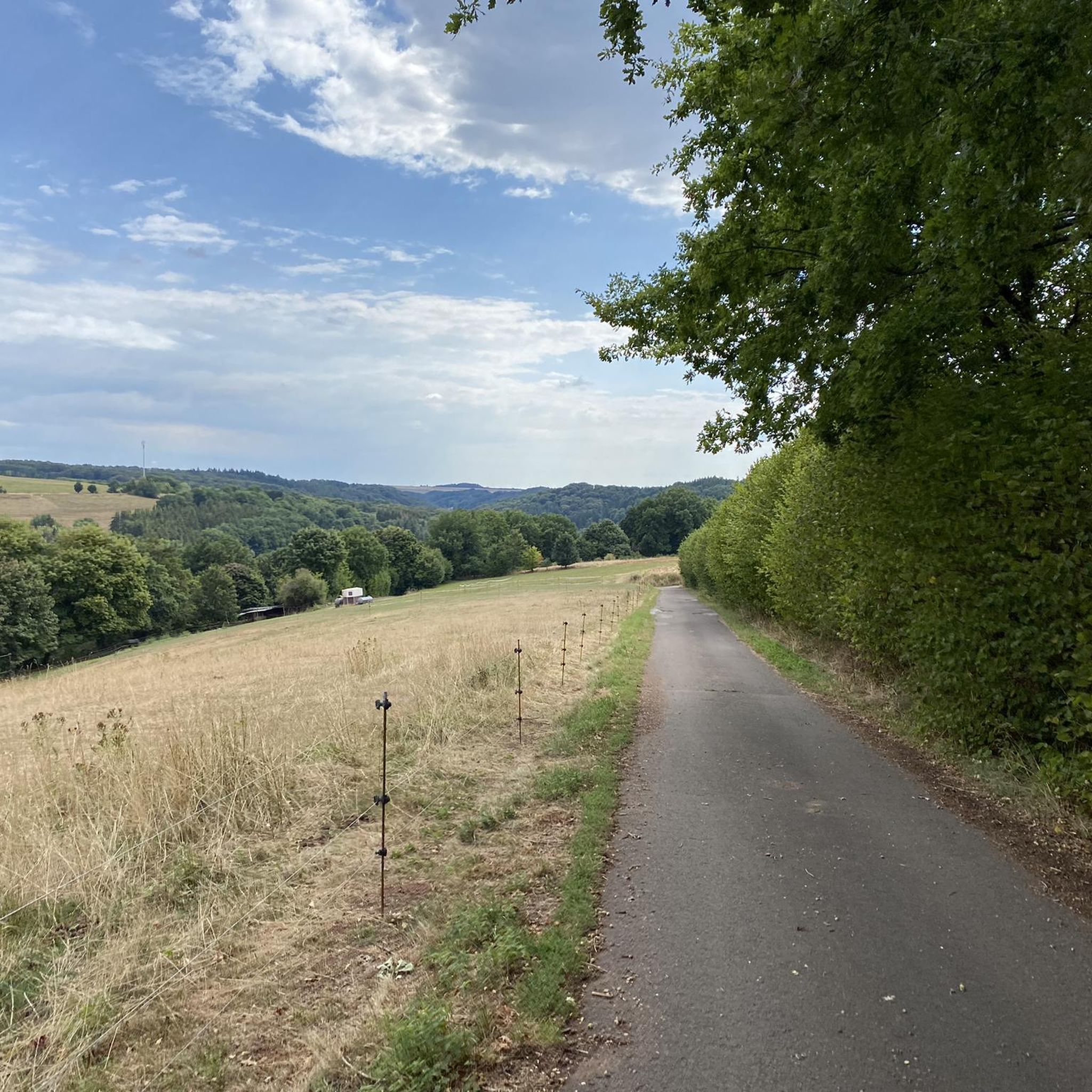
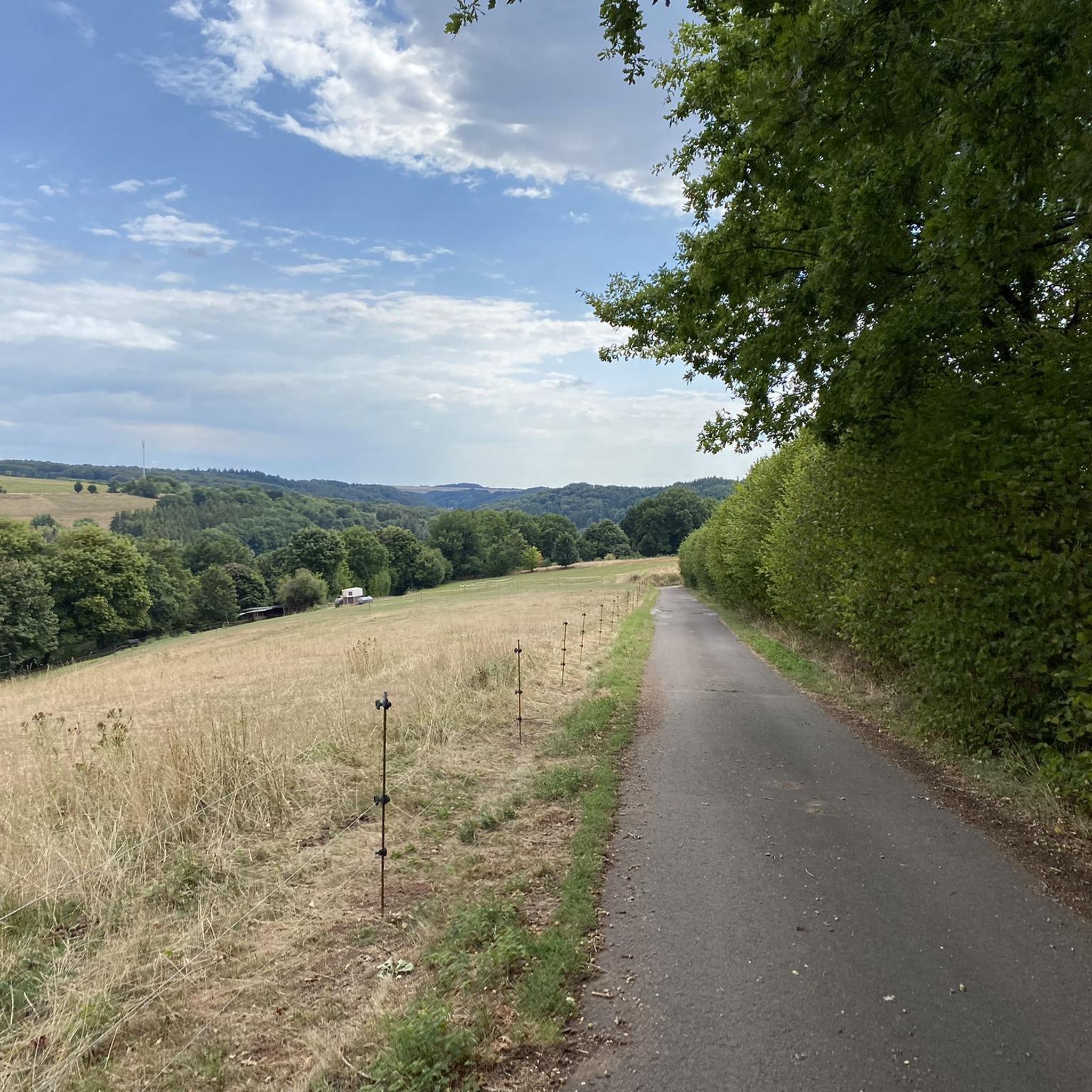
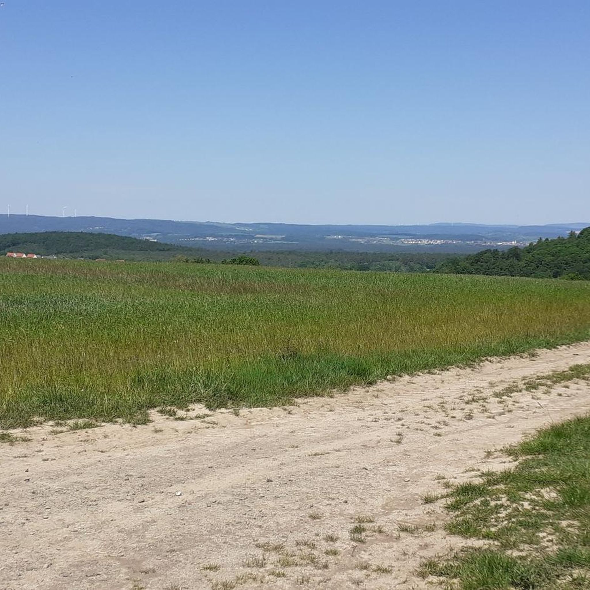
Gravel biking around Rosenkopf offers routes through varied terrain in the Südwestpfalz district of Rhineland-Palatinate. The region is situated on the Sickinger Höhe, characterized by gentle hills, wooded valleys, and elevated areas with panoramic views. An extensive network of paths includes forest trails, unpaved sections, and repurposed former railway lines like the Glantalbahn. This diverse landscape provides engaging routes for gravel cyclists.
Best gravel bike trails around Rosenkopf
- The most popular gravel bike trail is Lake Ohmbach – Ohmbach Lake…
Last updated: July 2, 2026
4.6
(14)
46
riders
32.8km
01:47
160m
160m
Moderate gravel ride. Good fitness required. Mostly paved surfaces. Suitable for all skill levels.
5.0
(3)
15
riders
Moderate gravel ride. Good fitness required. Mostly paved surfaces. Suitable for all skill levels.

Sign up for free
4.4
(9)
39
riders
Hard gravel ride. Good fitness required. You may need to push your bike for some segments of this route.
4.0
(1)
12
riders
44.7km
02:38
440m
450m
Moderate gravel ride. Good fitness required. Mostly paved surfaces. Suitable for all skill levels.
5.0
(1)
11
riders
Easy gravel ride. Great for any fitness level. Mostly paved surfaces. Suitable for all skill levels.
Get access to more routes and recommendations from other explorers.
Sign up for free
Already have an account?
Our route recommendations are based on thousands of hikes, rides, and runs completed by other people on komoot.
Start today with a free account
Your next adventure awaits.
Login or Signup
Tips from the Community

The Glan-Blies cycle path through the Bliestal meadows is one of the most beautiful sections of the route.
0
0

A scenically beautiful cycle path (Glan-Blies-Weg, approx. 130 km) from Forbach in Lorraine to Staudernheim. Hardly any inclines, almost entirely paved, only finely gravelled between Homburg-Bruchhof and Glan-Münchweiler.
0
0

Bliestal Cycle Superhighway. Still beautiful
0
0


🚲 The Glan-Blies Cycle Path is one of the most beautiful and popular cycling routes in the region. It connects Sarreguemines (Saargemünd) in Lorraine, France, with Staudernheim on the Nahe River in Rhineland-Palatinate, Germany, over a distance of approximately 130 kilometers. Since it largely follows former railway lines, it is almost entirely flat and therefore ideal for families and leisurely cyclists.
1
0
💡 Tour Tip The tunnel is a popular photo spot and offers a welcome respite from the heat on hot summer days. Immediately after the tunnel (heading north), the Glan River makes a picturesque loop that you can easily see from the bike path. The circular route around Lake Ohmbach also branches off nearby, in case you'd like to take a detour for a paddleboat ride or a coffee break. 🔦🚴♂️✨
1
0

Make sure you turn on the lights at night!
0
1

There are beautiful bridges along the cycle path
1
0
Frequently Asked Questions
How many gravel bike trails are available around Rosenkopf?
There are over 50 gravel bike trails in the Rosenkopf region, offering a wide range of options for different skill levels and preferences. You'll find 7 easy routes, 30 moderate routes, and 17 difficult routes.
What kind of terrain can I expect on gravel bike trails in Rosenkopf?
Gravel biking around Rosenkopf features varied terrain, characterized by its valleys, including the Lambsbach Valley, and natural features like Lake Ohmbach. Many routes utilize former railway lines, such as the Glantalbahn, which provide relatively flat and consistent surfaces. You'll encounter a mix of open stretches and sections passing through wooded areas.
Are there gravel bike trails suitable for beginners in Rosenkopf?
Yes, Rosenkopf offers 7 easy gravel bike routes perfect for beginners or those looking for a relaxed ride. These trails typically have less elevation gain and smoother surfaces, often following repurposed railway lines.
What are some challenging gravel bike routes in the Rosenkopf area?
For experienced riders seeking a challenge, there are 17 difficult gravel bike routes. One notable long and challenging option is the Glantalbahn Tunnel – Former Glantal Railway Route loop from Bruchmühlbach-Miesau, which spans nearly 60 miles (96 km) and includes significant elevation changes.
Are there any long-distance gravel bike routes in Rosenkopf?
Yes, for those looking for longer rides, the region offers several options. The Glantalbahn Tunnel – Former Glantal Railway Route loop from Bruchmühlbach-Miesau is a substantial 59.7 miles (96.1 km) route that takes you through former railway infrastructure.
What interesting places can I explore along the gravel bike trails in Rosenkopf?
Many routes offer scenic views and pass by interesting points. You can explore the Ohmbach Lake, which is a prominent feature in the region. Some trails also incorporate sections of the former Glantalbahn railway line, including tunnels, providing a unique historical element to your ride. Additionally, you might encounter the Beeder Bruch Nature Reserve or various huts like the Fisherman's Hut at Kirrberg Pond.
Can I find gravel bike routes that are loop trails around Rosenkopf?
Yes, the majority of gravel bike routes in Rosenkopf are designed as loops, allowing you to start and end your ride at the same point. Examples include the Lake Ohmbach – Ohmbach Lake loop from Bruchmühlbach-Miesau and the Elschbacher Tunnel – Glantalbahn Tunnel loop from Bruchmühlbach-Miesau.
Are there family-friendly gravel biking options in Rosenkopf?
Yes, the region has several easy routes that are suitable for families. These trails often follow the relatively flat paths of former railway lines, making them accessible for riders of varying ages and abilities. Look for routes marked as 'easy' for the most family-friendly experiences.
When is the best time of year for gravel biking in Rosenkopf?
The spring and autumn months generally offer the most pleasant conditions for gravel biking in Rosenkopf, with mild temperatures and beautiful scenery. Summer can also be enjoyable, especially in wooded sections, but be prepared for warmer weather. Winter riding is possible, but conditions can vary, with potential for colder temperatures and occasional snow or ice.
What do other gravel bikers say about the trails in Rosenkopf?
The gravel biking routes in Rosenkopf are highly rated by the komoot community, with an average score of 4.7 stars from nearly 100 reviews. Over 400 gravel bikers have explored the area, often praising the diverse landscapes, the unique experience of riding on former railway lines, and the variety of routes available for all skill levels.
Where can I find parking for gravel biking near Rosenkopf?
While specific parking locations are not detailed for every route, many trails start from towns and villages like Bruchmühlbach-Miesau or Kleinbundenbach, where public parking is typically available. It's advisable to check local parking options in the starting village of your chosen route.
Are there places to stop for refreshments along the gravel bike routes?
Yes, you can find places to stop for refreshments. The region features various huts and restaurants, such as the Fisherman's Hut at Kirrberg Pond, which can be found along or near some routes. Planning your route with komoot allows you to identify such highlights beforehand.
Most popular attractions around Rosenkopf

Get inspired with the komoot mobile app


Explore more
Browse the best Gravel rides in other regions.
