The best road cycling routes around Gromo
4.3
(128)
4,702
riders
46
rides
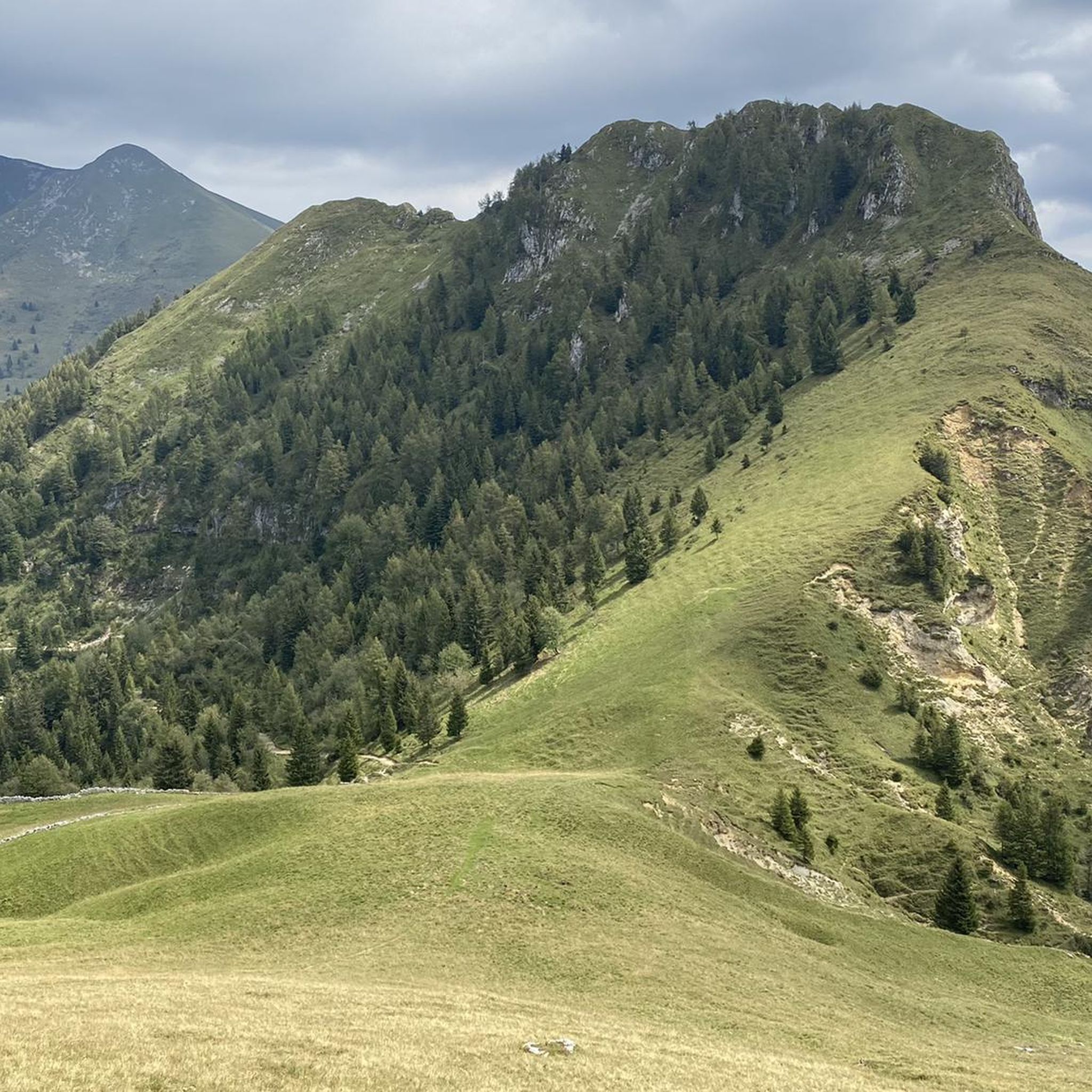
Road cycling routes around Gromo are set within the picturesque Seriana Valley, offering diverse terrain for cyclists. The region is characterized by its location in the foothills of the Bergamasque Alps, providing challenging mountain passes and ascents. Cyclists will encounter forested slopes, alpine meadows, and the scenic Serio River, which carves through the valley. This varied landscape includes both demanding climbs and more relaxed valley paths, catering to different cycling preferences.
Best road cycling routes around Gromo
- The most popular…
Last updated: October 11, 2026
4.0
(1)
148
riders
83.9km
04:16
1,390m
1,390m
Hard road ride. Very good fitness required. Mostly well-paved surfaces and easy to ride.
4.0
(10)
344
riders
54.1km
02:21
430m
430m
Moderate road ride. Good fitness required. Some segments of this route may be unpaved and difficult to ride.

65
riders
138km
06:25
1,610m
1,610m
Hard road ride. Very good fitness required. Mostly well-paved surfaces and easy to ride.
5.0
(1)
150
riders
47.0km
02:19
680m
680m
Moderate road ride. Good fitness required. Mostly well-paved surfaces and easy to ride.
4.0
(1)
84
riders
64.6km
03:42
1,460m
1,460m
Hard road ride. Very good fitness required. Mostly well-paved surfaces and easy to ride.
Get access to more routes and recommendations from other explorers.
Already have an account?
Our route recommendations are based on thousands of hikes, rides, and runs completed by other people on komoot.
Start today with a free account
Your next adventure awaits.
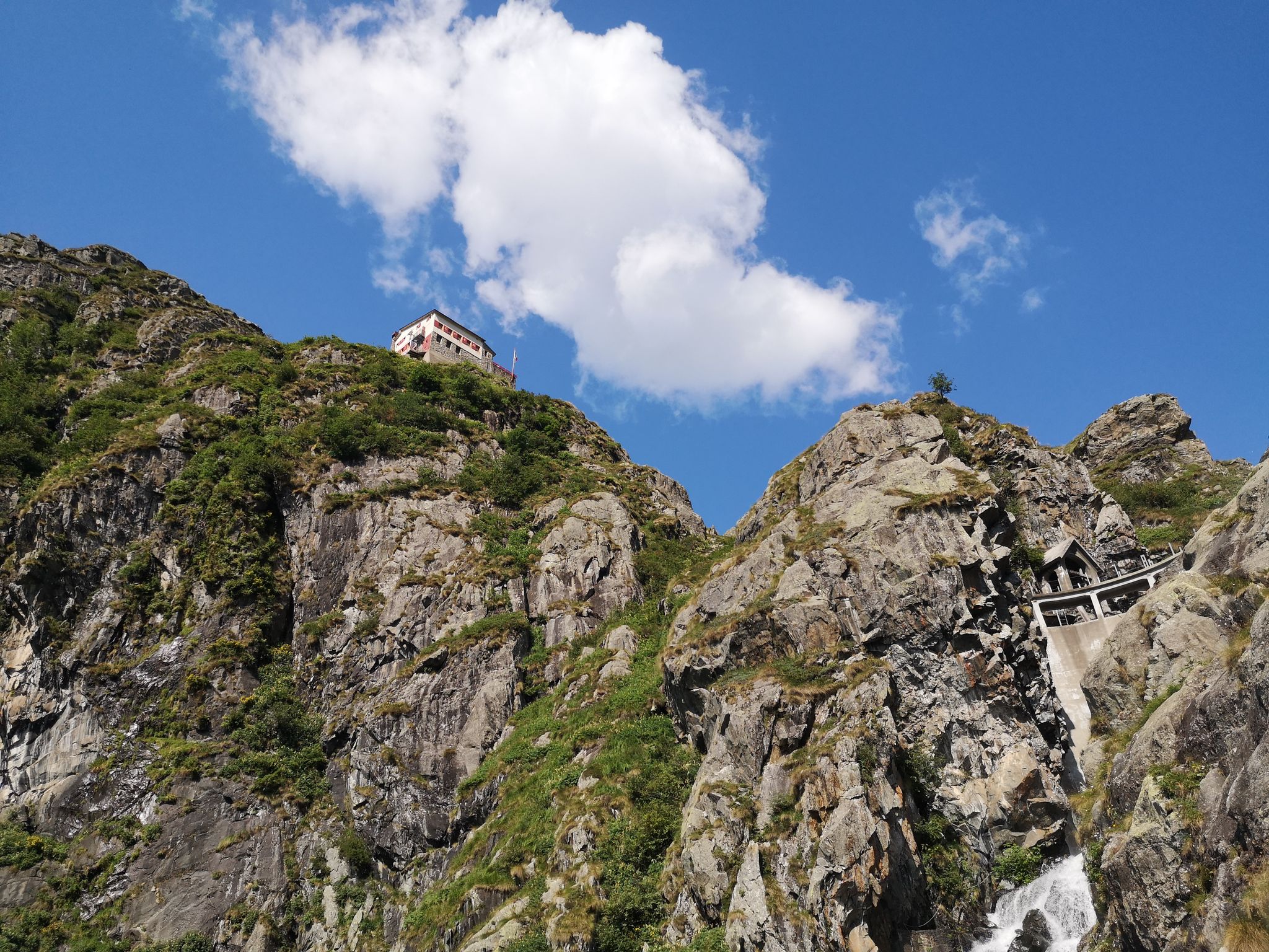
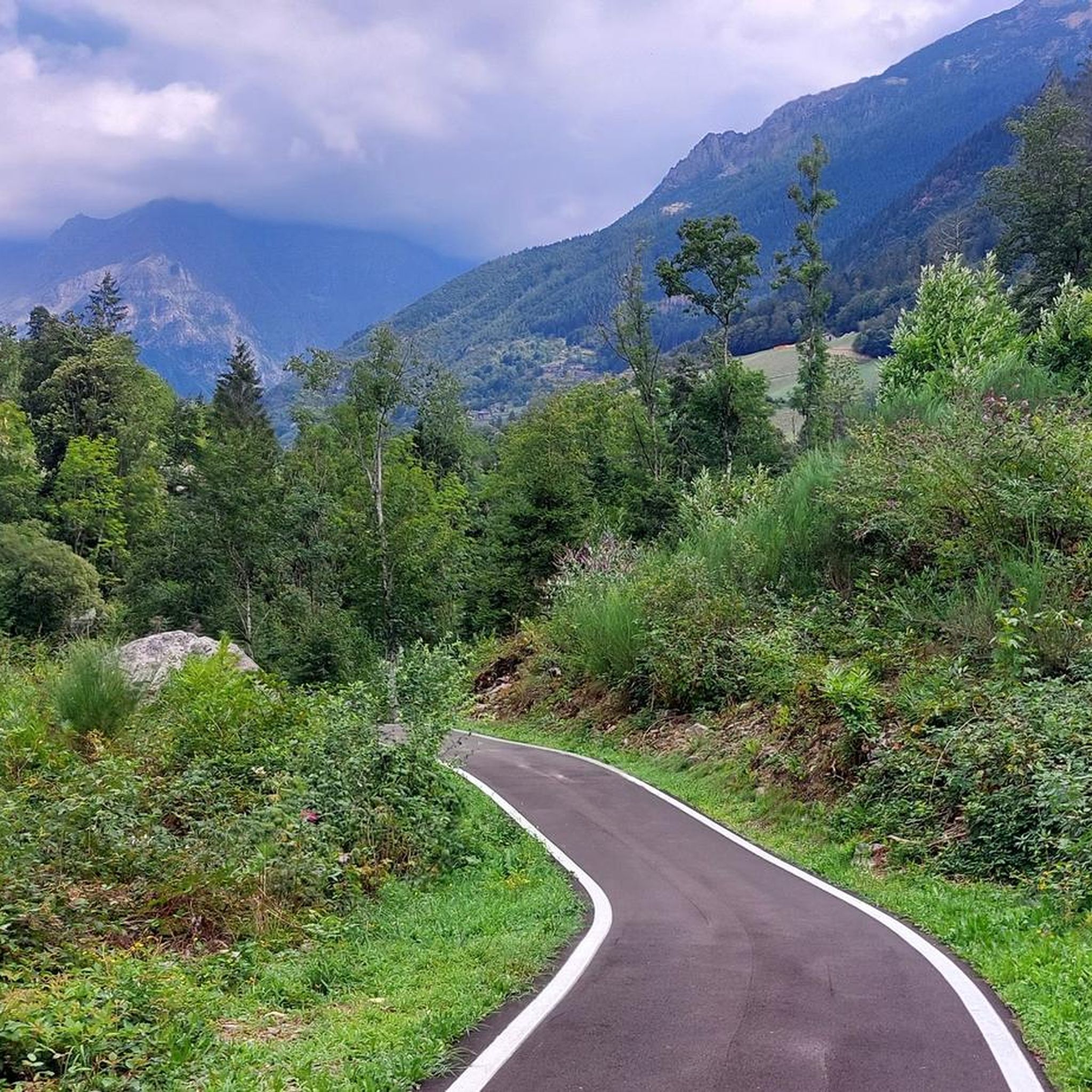
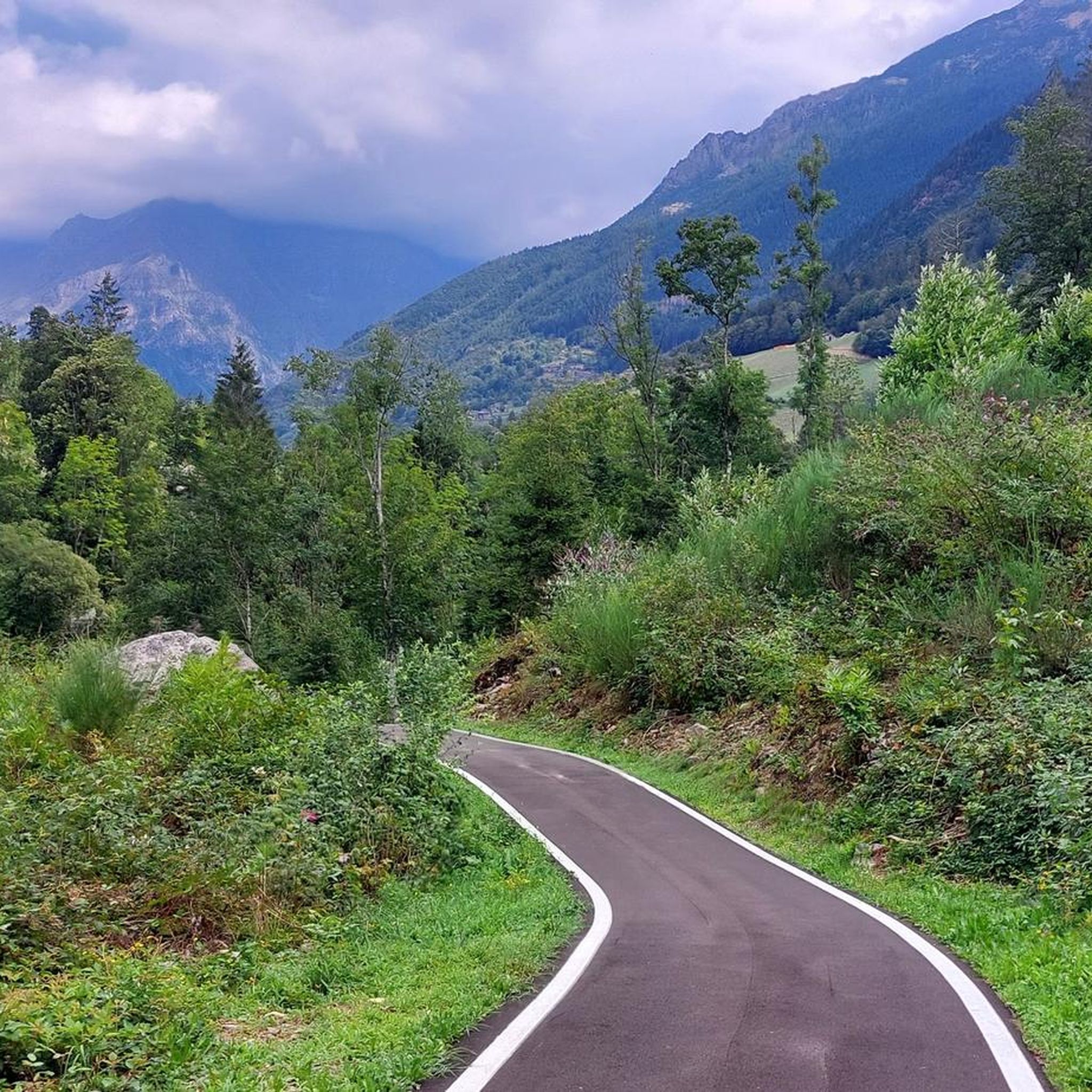

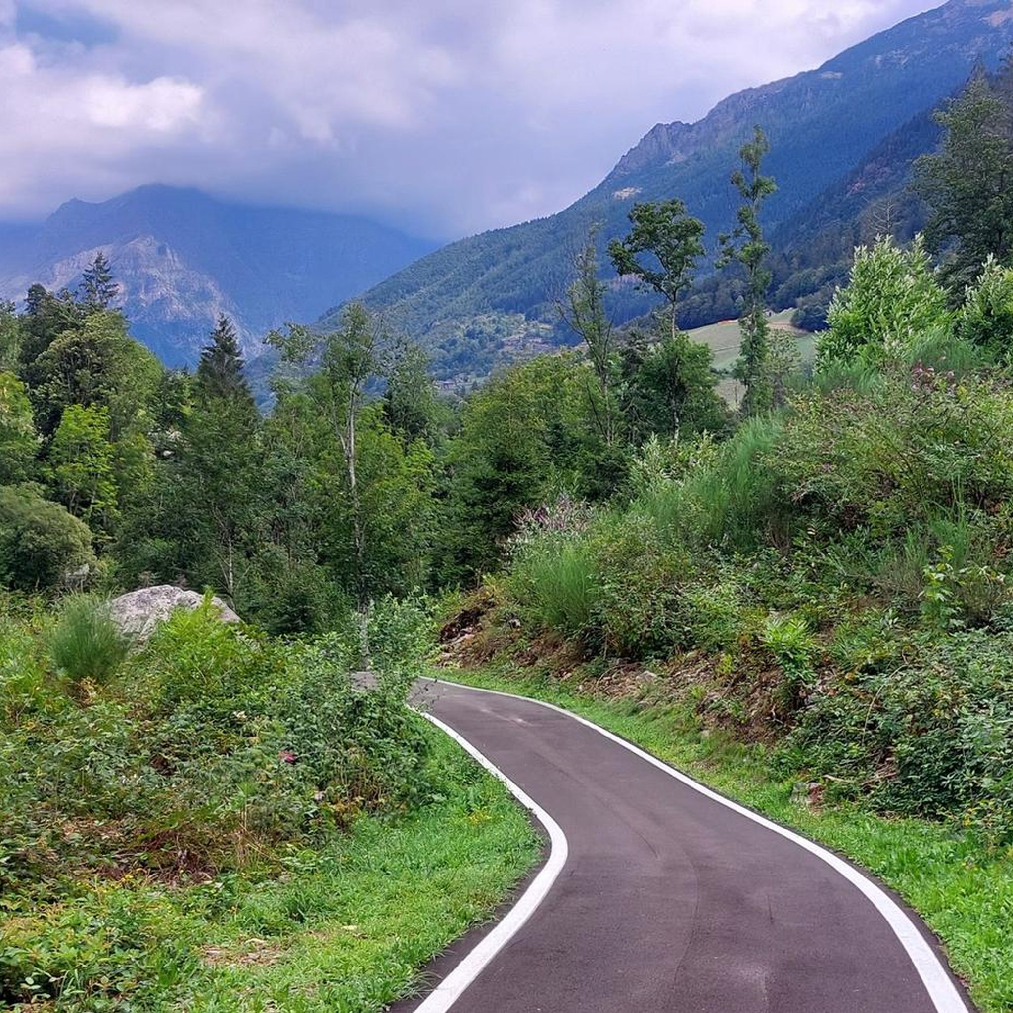

Other adventures around Gromo

Tips from the Community

beautiful cycle path, one of the best.
0
0

Lake Endine, nestled in the Val Cavallina at about 337 m above sea level, offers intact natural scenery rich in reeds. For a spectacular view, you can walk the hiking loop to the Giant Bench of Ranzanico or climb Monte Sparavera, considered the true panoramic balcony over the lake.
0
0

The view of Lake Iseo and Corna Trentapassi from Riva di Solto is one of the most spectacular and iconic sights in the entire Sebino area, characterized by the sharp contrast between the blue waters of the lake and the steep surrounding rock faces.
2
0

after the first hairpin bends, although few, some spots to admire the Lake of Endine
0
0

The church is dedicated to Santa Maria Assunta and is classified as a subsidiary church of the Diocese of Bergamo. The building has a two-tiered facade, marked by pilasters and niches painted with figures of saints (Maria SS., St. Joseph, St. Roch, St. Paul, St. Peter, St. Anthony Abbot). The interior has a single nave, with three bays and side chapels dedicated to the Madonna del Rosario and the Crucifix.
0
1
The church is dedicated to Santa Maria Assunta and is classified as a subsidiary church of the Diocese of Bergamo. The building has a two-tier facade
0
1
Ganda is a hamlet in the municipality of Aviatico, in the province of Bergamo, located at about 1060 m altitude on a small plateau between Monte Ganda and Monte Rena, below Monte Poieto. The position is extremely panoramic: it overlooks the middle Seriana Valley, the Gandino Valley and, on clear days, even the plain. The SP41 road reaches it, which climbs from Gazzaniga, passes through Orezzo and crests at Col de la Muruna, before arriving at Amora and then at Aviatico. 🧭 Territory and environment The territory of Ganda includes: the Rovaro valley, a narrow gorge between Monte Ganda and Monte Rena; numerous seasonal streams that activate after heavy rains; ancient mule tracks that connected Ganda to Orezzo, Amora, Petello, Merà and the upper localities of Albino. 🕰️ Essential History The documented history is sparse, but the sources agree on some key points: Ancient Origins After the fall of the Roman Empire, groups of people took refuge at high altitudes to escape incursions and looting in the valley floors. Ganda was born this way: as a settlement of escape and survival. Etymology According to the historian Zambetti, the name would derive from the Celtic "gant", "pile of fallen rocks", linked to an ancient landslide of Cornagera that would have covered the area. Middle Ages and Tribulina Around the year 1000, some inhabitants of Aviatico took refuge here due to the "terror of the year 1000". On the highest point (1071 m) they built a small shrine used for prayer and burials. 1378: the best-known episode Barnabò Visconti, at war with the lords of Comenduno, sent troops to destroy the fortified village. Some inhabitants fled towards the Ganda small shrine, which became a refuge and the nucleus of the village.
0
0
The Passo di Ganda is a pass in the Orobie Prealps located above Gazzaniga, between the hamlets of Orezzo and Aviatico, at an altitude of about 1060 m. It is known above all for the cycling climb, also made famous by the Giro di Lombardia.
0
0
Frequently Asked Questions
What kind of terrain can I expect when road cycling around Gromo?
Road cycling around Gromo offers a diverse mix of terrain. You'll find challenging mountain passes and ascents in the Orobie Alps, characterized by varying gradients and altitudes. Additionally, the scenic Seriana Valley provides more relaxed rides along the Serio River, often on asphalt or beaten earth paths. The region features forested slopes and alpine meadows, ensuring breathtaking scenery throughout your ride.
Are there road cycling routes suitable for beginners or families in Gromo?
Yes, while Gromo is known for its challenging mountain ascents, there are also options for less experienced cyclists. The Ciclovia della Valle Seriana, running along the Serio River, offers a more relaxed experience suitable for various skill levels, including families. This path connects charming villages amidst woods and medieval bridges.
What are some notable landmarks or points of interest I can see along the road cycling routes?
As you cycle around Gromo, you can encounter several interesting sights. For example, you might pass by the historic medieval center of Gromo itself. In the broader region, highlights include the beautiful Gleno Dam and Lake, or the serene Barbellino Reservoir. The routes also offer glimpses of charming villages and historical sites.
Are there any circular road cycling routes available in Gromo?
Yes, many of the road cycling routes around Gromo are designed as loops, allowing you to start and end in the same location. An example of a challenging loop is the Gromo Climb – Bani Village loop from Boario, which covers nearly 29 km with significant elevation gain.
How many road cycling routes are there in Gromo, and what are their difficulty levels?
Gromo offers a wide selection of road cycling routes, with over 45 available. These routes cater to various abilities, including 5 easy routes, 24 moderate routes, and 17 difficult routes, ensuring options for every cyclist.
What do other road cyclists enjoy most about cycling in Gromo?
The road cycling routes in Gromo are highly rated by the komoot community, with an average score of 4.4 stars from over 90 reviews. Cyclists often praise the challenging mountain ascents, the scenic valley rides along the Serio River, and the beautiful forested slopes and alpine meadows that provide stunning views.
Can I access road cycling routes in Gromo using public transport?
The region around Gromo, particularly the Seriana Valley, has road connections that link to various villages and towns. While specific public transport details for route access aren't provided, the valley's infrastructure generally allows for connections, and the Ciclovia della Valle Seriana itself connects multiple locations.
Are there any long-distance road cycling routes around Gromo?
Yes, Gromo is an excellent starting point for longer rides, especially into the Orobie Alps. Routes like the Valbondione Fountain – Bani Village loop from Boario span over 52 km and feature substantial climbs, offering a significant challenge for experienced cyclists.
What is the best time of year for road cycling in Gromo?
Given Gromo's location in the foothills of the Bergamasque Alps, the best time for road cycling is typically from spring through early autumn. During these seasons, the weather is generally more favorable for tackling mountain passes and enjoying the scenic valley rides. The region's natural beauty, with forested slopes and alpine meadows, is particularly vibrant during these months.
Are there any specific challenging climbs for advanced road cyclists near Gromo?
Absolutely. The Orobie Alps provide monumental climbs for advanced cyclists. While specific named passes like Passo San Marco or Mortirolo are further afield, the routes directly around Gromo offer significant challenges. For instance, the Schilpario loop from Vilminore di Scalve is a difficult route with over 1,150 meters of elevation gain, perfect for those seeking demanding ascents.
Are there opportunities to explore historical or cultural sites while road cycling in the Gromo area?
Yes, the region is rich in history and culture. As you cycle, you'll pass through charming medieval villages, including Gromo itself, which is recognized as one of 'I Borghi più belli d'Italia.' The Seriana Valley cycle path also connects to historical sites, offering glimpses of industrial archaeology, sanctuaries, and notable buildings.
Most popular attractions around Gromo

Get inspired with the komoot mobile app


Explore more
Browse the best Road cycling routes in other regions.
