The best walks and hikes around Gromo
4.4
(788)
4,626
hikers
43
hikes
Hiking around Gromo offers access to the diverse landscapes of the Bergamasque Alps in Lombardy, Italy. The region features mountainous terrain with significant elevation changes, alpine lakes, and dense forests. Gromo itself is situated on a large boulder, providing views of Mount Redorta and Mount Secco. The area is characterized by a mix of challenging mountain paths and more moderate forest trails.
Best hiking trails around Gromo
- The most popular hiking route is Loop between the Cardeto lakes, an 8.6 miles (13.8 km) trail that takes 6 hours 48 minutes to complete. This difficult route offers picturesque views of alpine lakes.
- Another top favourite among local hikers is Cardeto Valley Lakes Trail to Passo Portula (via Route 233), a moderate 6.3 miles (10.1 km) path. This trail traverses steep slopes and leads towards Passo Portula.
- Local hikers also love the Val Sedornia Forest Trail (via Route 313), a 4.8 miles (7.7 km) trail leading through lush forests, often completed in about 2 hours 20 minutes.
- Hiking around Gromo is defined by the Bergamasque Alps, serene alpine lakes, and lush forests, with options for various ability levels from moderate walks to demanding mountaineering routes.
- The routes in Gromo are highly rated by the komoot community with an average score of 4.5 stars from over 600 reviews. More than 3900 hikers have used komoot to explore Gromo's varied terrain.
Last updated: October 12, 2026
4.7
(127)
577
hikers
13.8km
06:48
1,090m
1,090m
Hard hike. Very good fitness required. Mostly accessible paths. Sure-footedness required.
4.5
(22)
213
hikers
10.1km
04:52
810m
810m
Forest trail through Cardeto valley's three alpine lakes to Passo Portula with marmots and waterfalls.

4.7
(15)
85
hikers
7.66km
02:20
260m
260m
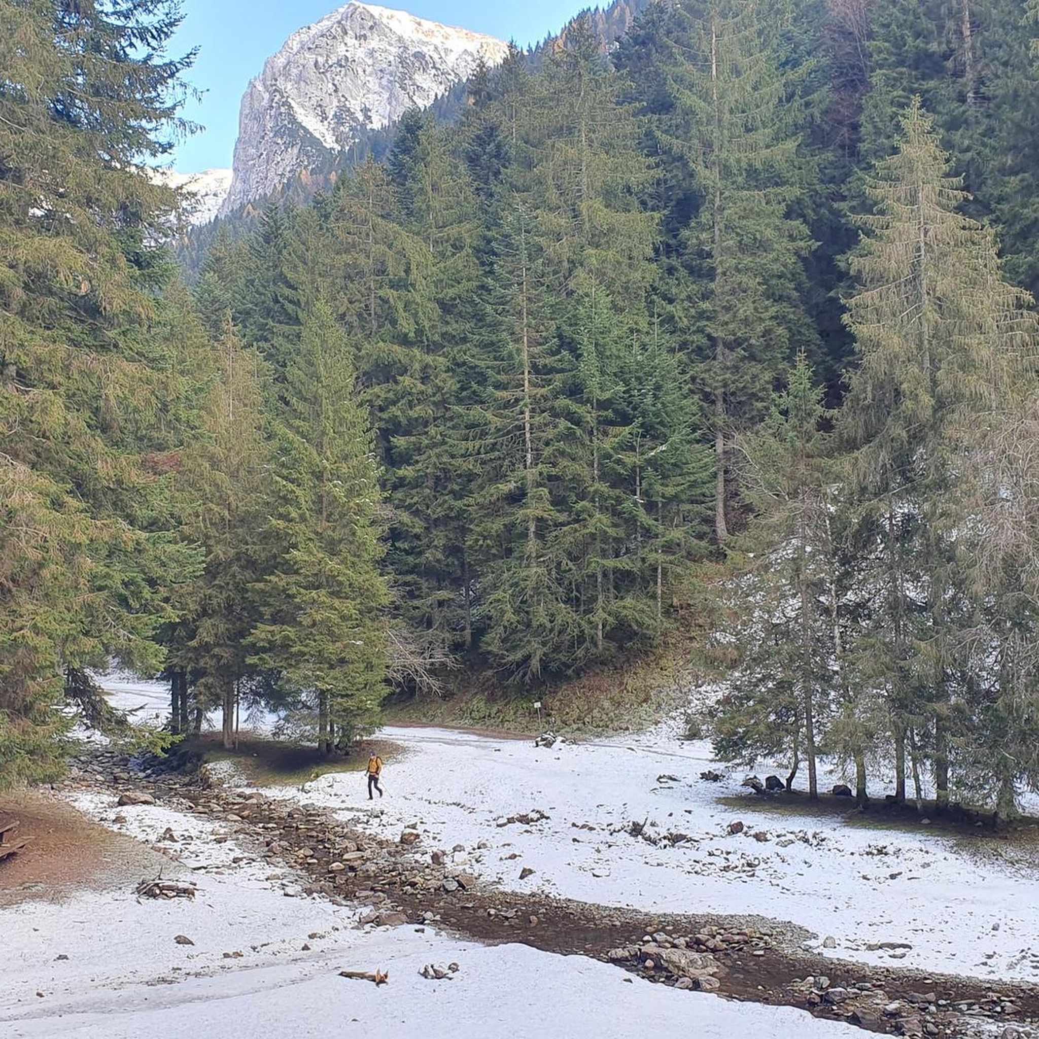
Forest trail through pristine Val Sedornia with streams, waterfalls and hidden picnic spots.
4.5
(57)
263
hikers
10.5km
04:59
950m
950m
Hard hike. Very good fitness required. Sure-footedness, sturdy shoes and alpine experience required.
4.2
(59)
268
hikers
9.75km
03:27
550m
550m
Moderate hike. Good fitness required. Mostly accessible paths. Sure-footedness required.
Get access to more routes and recommendations from other explorers.
Already have an account?
Our route recommendations are based on thousands of hikes, rides, and runs completed by other people on komoot.
Start today with a free account
Your next adventure awaits.



Other adventures around Gromo

Tips from the Community

The Spiazzi dell'Acqua Picnic Area is one of the most peaceful and pleasant spots in the Gandellino area, surrounded by greenery and perfect for a relaxing break before or after a hike. Located in an easily accessible clearing, it offers tables, natural shade, and a cool atmosphere thanks to the proximity to the water. It's a simple yet meticulously maintained spot, ideal for families, groups, or anyone looking to enjoy a quiet moment in nature. Its secluded location and wooded setting make it a small haven of peace, convenient to reach yet far from the noise.
0
0

Although small, it is the highest of all the lakes on the Cardeto plateau. Its three larger siblings (Lago Alto, Lago di Mezzo, and Lago Basso del Cardeto) are perennial and larger, but this small lake is nonetheless fascinating and rich in biodiversity, with aquatic plants, dragonflies, and frogs.
1
0
Panoramic view of the Cardeto waterfalls and the Bergamo Orobie mountains of the Upper Seriana Valley.
1
0
A spring of water that rises to the surface, creating a torrent that then flows through the valley. Needless to say, the water is extremely fresh, perfect for filling water bottles and cooling off.
1
0
Small wooden bridge that allows you to cross the stream.
1
0
Small wooden bridge that allows you to cross the stream.
0
0
Small wooden bridge that allows you to cross the stream.
1
0
Wooden wildlife observatory in excellent condition. Useful for wildlife enthusiasts and photographers for spotting. It's quite hidden, but camouflage clothing is recommended to reduce the chance of being spotted by the animals. It's not covered, so raincoats are recommended in case of bad weather.
0
0
Frequently Asked Questions
How many hiking trails are available around Gromo?
There are over 40 hiking trails around Gromo, offering a wide range of experiences from moderate walks to challenging mountaineering routes. You'll find options suitable for various skill levels.
What kind of terrain can I expect when hiking near Gromo?
Hiking around Gromo means exploring the diverse landscapes of the Bergamasque Alps. You can expect mountainous terrain with significant elevation changes, serene alpine lakes, and lush, dense forests. The village itself is perched on a large boulder, offering majestic views of Mount Redorta and Mount Secco.
Are there any easy or family-friendly hiking options in the Gromo area?
Yes, Gromo offers several easier trails suitable for families or those looking for a less strenuous walk. There are 11 easy routes available, and the Vodala area, accessible via routes like the Vodala Hut – Spiazzi di Gromo loop from Boario, features pleasant tracks through forests.
What are some notable natural attractions or landmarks to see while hiking in Gromo?
The region is rich in natural beauty. You can hike to the impressive Gleno Dam and Lake, which offers panoramic views and leads to the dam's ruins. Another significant attraction is the Barbellino Reservoir, the largest artificial lake in the Orobie Mountains, surrounded by peaks over 3,000 meters high.
Are there any circular hiking routes around Gromo?
Yes, circular routes are a popular way to explore the area. One notable option is the Loop between the Cardeto lakes, which offers picturesque views of alpine lakes. Another challenging loop is the Timogno Peak – Vodala Hut loop from Boario.
What do other hikers say about the trails in Gromo?
The routes in Gromo are highly rated by the komoot community, with an average score of 4.5 stars from over 600 reviews. Hikers often praise the stunning alpine scenery, the variety of trails, and the rewarding experiences offered by the Bergamasque Alps.
What is the best time of year to go hiking in Gromo?
The summer months are ideal for hiking in Gromo, as the ski resort area of Spiazzi di Gromo transforms into a hiking and trekking hub. During this time, you can fully enjoy the diverse trails, alpine lakes, and lush forests. Some higher altitude routes might be accessible later in the season due to snow.
Are there any forest trails to explore near Gromo?
Absolutely. The region features beautiful forest trails, such as the Val Sedornia Forest Trail (via Route 313), which leads through lush woodlands. The Vodala area also offers pleasant tracks through forests, providing a different hiking experience.
Can I find challenging mountaineering routes in the Gromo area?
Yes, Gromo is situated within the Bergamasque Alps, which provides a dramatic backdrop for more demanding mountaineering routes. Trails like the Loop between the Cardeto lakes and the Timogno Peak – Vodala Hut loop from Boario are classified as difficult, involving significant elevation changes and steep slopes.
What is there to do around Spiazzi di Gromo?
Spiazzi di Gromo, known as a ski resort in winter, becomes a vibrant hiking and trekking hub during the summer months. You'll find various loops and trails starting from this area, catering to different skill levels, and offering access to the surrounding mountains and forests.
Are there any trails that lead to mountain passes or high viewpoints?
Yes, many trails in the Gromo area lead to stunning viewpoints and mountain passes. For instance, the Cardeto Valley Lakes Trail to Passo Portula (via Route 233) traverses steep slopes and leads towards Passo Portula, offering expansive views of the surrounding Bergamasque Alps.
Most popular attractions around Gromo

Get inspired with the komoot mobile app


Explore more
Browse the best Hikes in other regions.
