The best mountain hikes around Endine Gaiano
4.9
(7)
45
hikers
3
hikes
Mountaineering routes Endine Gaiano traverse a diverse landscape characterized by tranquil lakes, unique natural parks, and significant mountainous terrain in Italy's Val Cavallina. The region offers challenging hikes and advanced trekking opportunities, with peaks like Monte Sicolo, Monte Grione, and Pizzo Formico providing alpine views and panoramic vistas. These routes often involve varied terrain, from pine forests and pastures to more exposed sections, requiring good fitness and alpine experience.
Best mountaineering routes around Endine Gaiano
- The most popular mountaineering route…
Last updated: July 4, 2026
4.6
(5)
32
hikers
8.06km
05:05
980m
980m
Hard mountaineering route. Very good fitness required. Sure-footedness, sturdy shoes and alpine experience required.
4
hikers
8.59km
03:18
510m
510m
Moderate mountaineering route. Good fitness required. Mostly accessible paths. Sure-footedness required.

Sign up for free
5.0
(1)
2
hikers
9.89km
03:59
630m
630m
Hard mountaineering route. Good fitness required. Sure-footedness, sturdy shoes and alpine experience required.
4
hikers
12.7km
04:30
740m
740m
Moderate mountaineering route. Good fitness required. Easily-accessible paths. Suitable for all skill levels.
5.0
(1)
3
hikers
6.10km
02:12
310m
310m
Moderate mountaineering route. Good fitness required. Mostly accessible paths. Sure-footedness required.
Our route recommendations are based on thousands of hikes, rides, and runs completed by other people on komoot.
Start today with a free account
Your next adventure awaits.
Login or Signup
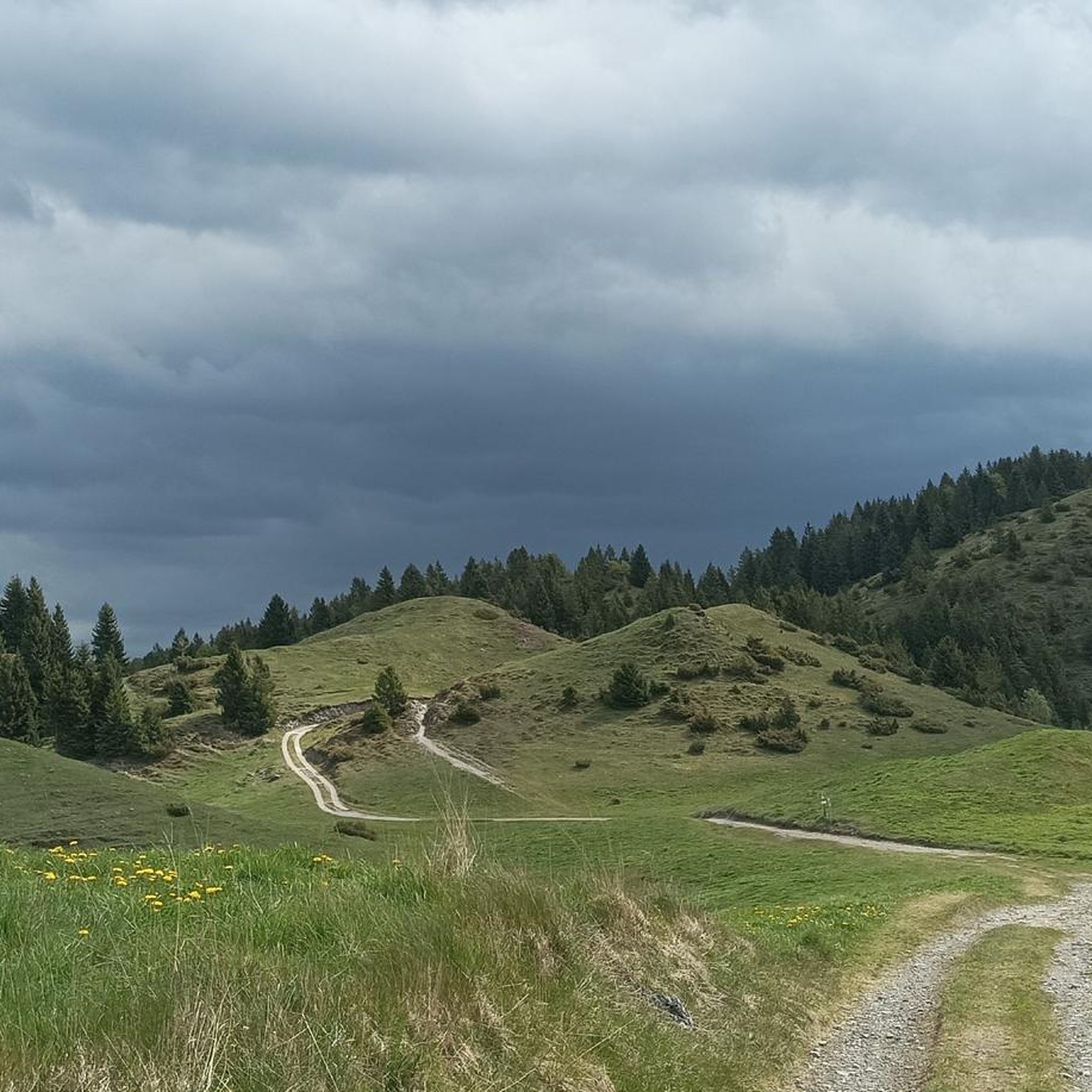
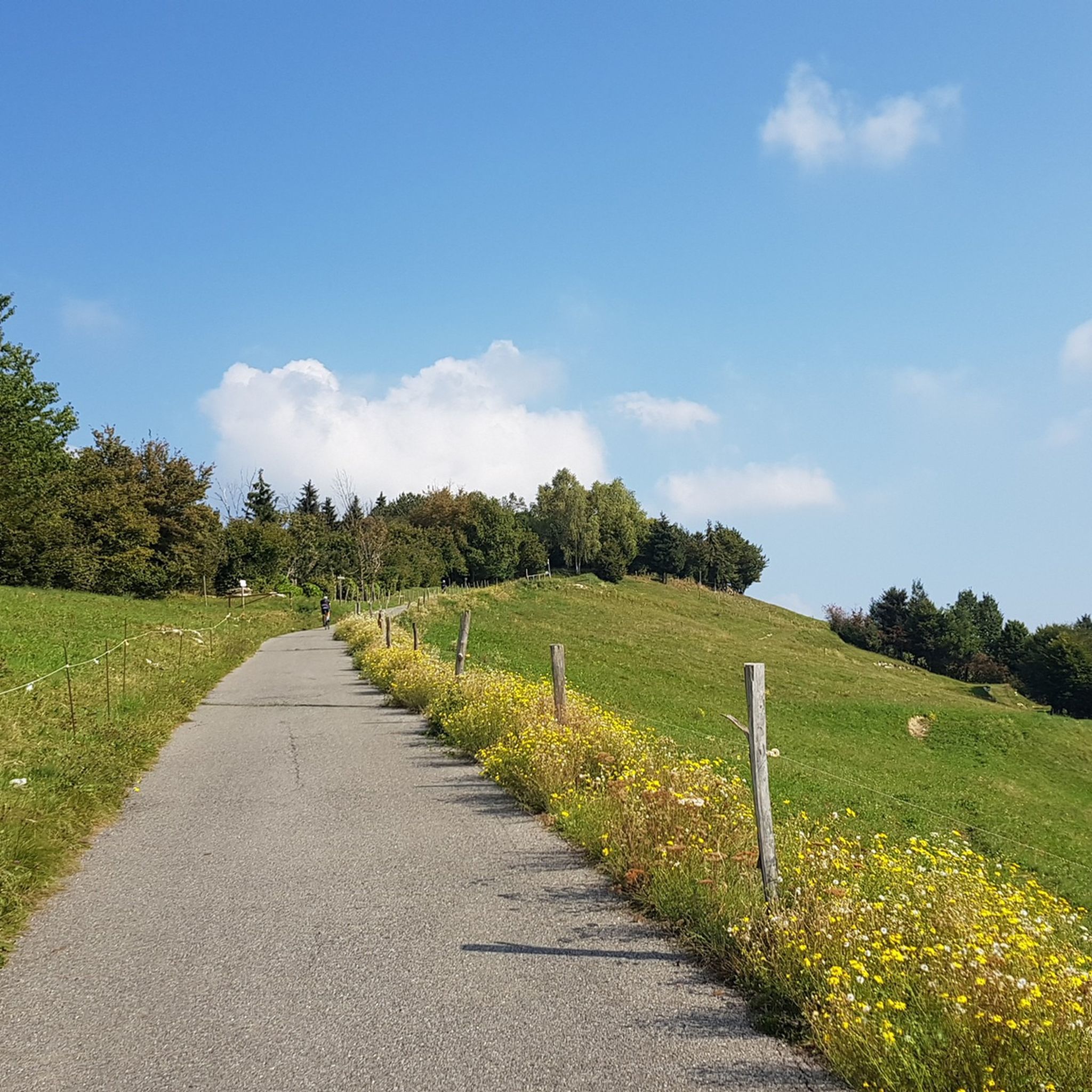
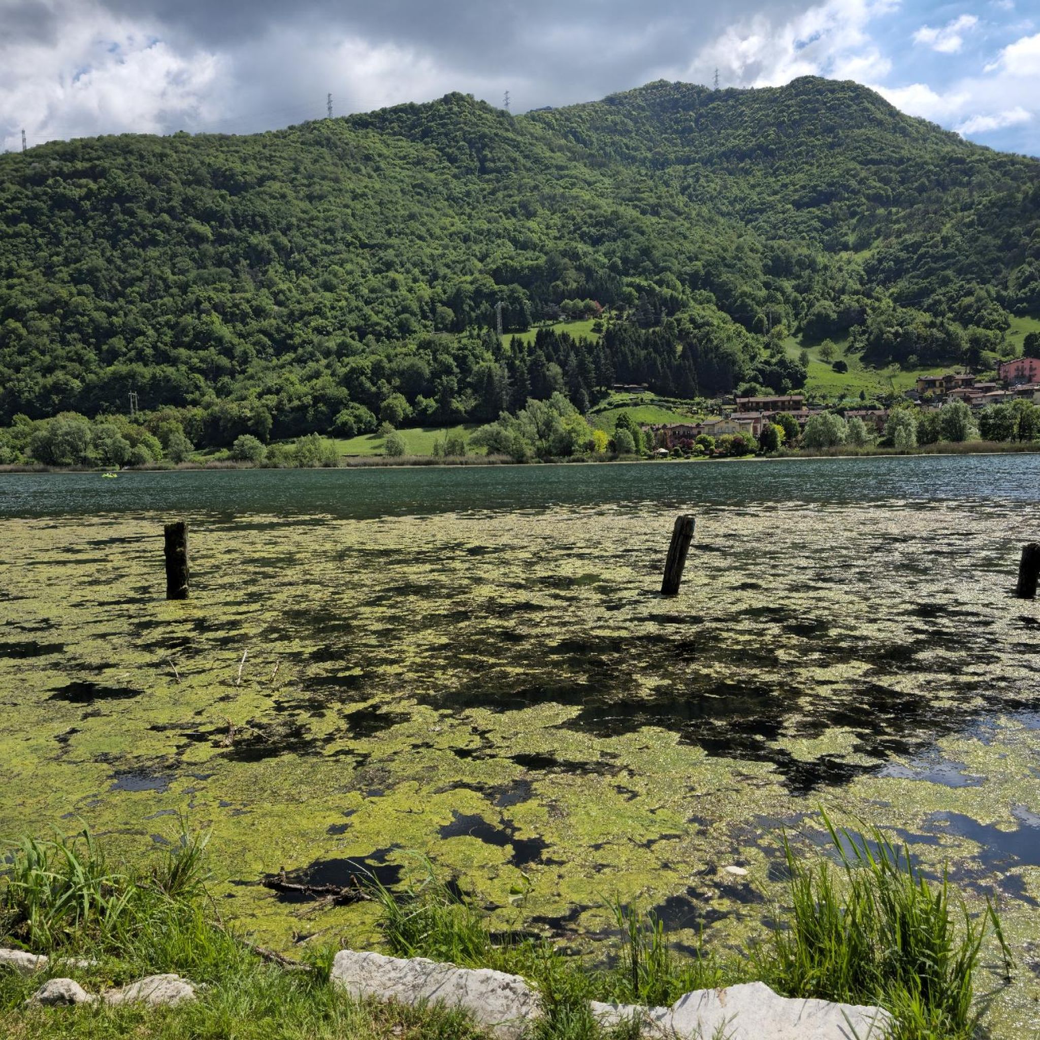
Tips from the Community

Beautiful little church, picturesquely located on a sub-peak with a truly dreamlike view over Marone, Sale Marasino, Lake Iseo and Monte Isola.
0
0

It seems you can buy local products there, but I've never found it open so far.... I passed by in April and October... who knows...
0
0
Quiet place with a good panorama, easily walkable or suitable for MTB
0
0

The Bosco degli Gnomi (Gnomes' Forest) in Zone is one of the most fairytale-like and beloved places in Sebino: an easy and evocative trail where 44 wooden sculptures, carved by Luigi Zatti known as Il Rosso, accompany the hiker along the mule track that climbs towards Monte Guglielmo. It is perfect for families, photographers, and for those who want a "magical" access to Palmarusso and then Almici. 🌲 Bosco degli Gnomi — Essential information - Location: Zone (BS), trail start at Goi de la Tromba – Polset - Trail marker: 227 - Duration: about 1 hour for the "fairytale" part - Difficulty: easy, but with short steep climbs - Sculptures: 44 works carved into trunks from 1998 onwards - Artist: Luigi Zatti (Il Rosso), local farmer-sculptor - Suitable for: families, children, hikers heading towards Palmarusso/Almici/Guglielmo - Services: picnic tables along the route
0
0

A beautiful hermitage perched on a panoramic hill. The view is breathtaking, and the churchyard is perfect for a break.
0
0


Only you running on the water
0
0

A truly picturesque village. You can cross it from both the main road and the municipal road along the lake, but beware, as there are several businesses like bars and restaurants with waiters crossing the road with trays.
1
0
Frequently Asked Questions
What kind of terrain can I expect on mountaineering routes in Endine Gaiano?
Mountaineering routes in Endine Gaiano traverse diverse landscapes. You can expect varied terrain, including tranquil lake areas, pine forests, and pastures, leading to more exposed mountainous sections. The region offers significant elevation changes, providing challenging ascents and alpine views.
Are there any moderate mountaineering routes available in Endine Gaiano?
Yes, while most routes are challenging, there is at least one moderate mountaineering route. Consider the View of Bögn Cliff loop from Riva di Solto, which is 6.1 km long and takes approximately 2 hours and 13 minutes to complete, offering a less strenuous option.
What are some notable natural features or landmarks to look out for on these routes?
The region is rich in natural beauty. You'll encounter the serene Lake Endine and the unique Valle del Freddo (Devil's Valley), known for its high-altitude plants at low elevation. For specific landmarks, consider visiting the Pyramids of Zone or enjoying the views from the Riva di Solto Lakeside Promenade.
Are there any circular mountaineering routes in Endine Gaiano?
Yes, several routes are circular. For a challenging loop, try the East Forepeak Corna Trentapassi – Corna Trentapassi loop from Toline, which is 8.1 km long. Another option is the Forcellino del Zuf loop from Zone, covering 6.2 km.
What is the best time of year for mountaineering in Endine Gaiano?
The region is suitable for outdoor activities across seasons. While the guide focuses on mountaineering, which is typically best in warmer, drier months, the area's lakes can even freeze in winter, offering unique experiences. Always check local conditions and weather forecasts before heading out, especially for higher elevations.
What do other mountaineers say about the routes in Endine Gaiano?
The mountaineering routes in Endine Gaiano are highly rated by the komoot community, with an average score of 4.8 stars from more than 10 reviews. Users frequently praise the challenging ascents, alpine views, and the diverse mountain landscapes encountered.
Are there any routes that offer views of Lake Iseo?
Yes, some routes and nearby attractions provide stunning views of Lake Iseo. The difficult Val Cavallina Waterfalls Trail to Monte Sicolo (Route 620, mentioned in region research) offers vistas of Lake Iseo. Additionally, the Lake Iseo Scenic Road (Lovere–Castro) is a notable point of interest nearby.
How many mountaineering routes are there in Endine Gaiano?
There are 6 mountaineering routes detailed in this guide for Endine Gaiano, with 1 rated as moderate and 5 as difficult, catering to experienced mountaineers.
Are there any routes that are particularly long or challenging?
For a longer and challenging experience, consider the Pozza del Colle d'Oregia – Monte Bronzone loop from Monte Bronzone. This difficult route spans 9.1 km and involves over 700 meters of elevation gain, typically taking around 4 hours and 2 minutes to complete.
What kind of fitness level is required for mountaineering in this area?
Given that most routes are rated as 'difficult,' a good level of fitness, sure-footedness, and often alpine experience are recommended. Even the moderate routes require a reasonable fitness level to enjoy the varied terrain and elevation changes.
Can I find other outdoor activities or points of interest near the mountaineering routes?
Absolutely. Beyond mountaineering, the area around Endine Gaiano offers various outdoor activities. You can explore the Vello–Toline Cycle Path for cycling, or visit the Sanctuary of the Madonna della Ceriola for a cultural stop. Lake Endine itself is popular for water sports like windsurfing and kayaking.
Most popular routes around Endine Gaiano
Most popular attractions around Endine Gaiano

Get inspired with the komoot mobile app


Explore more
Browse the best Mountain Hikes & Routes in other regions.
