The best walks and hikes around Endine Gaiano
4.5
(986)
5,581
hikers
30
hikes
Hiking around Endine Gaiano offers diverse landscapes, from serene lakeside paths to more challenging mountain routes within Val Cavallina. The region is characterized by Lake Endine, known for its dark green waters and surrounding forests, and the unique Valle del Freddo natural park. Set against a backdrop of mountains and valleys, including parts of the Bergamo Alps, the area provides varied terrain for outdoor activities. This natural environment is recognized and protected as a regional park, offering a blend of natural beauty and varied trail options.
Best hiking trails around Endine Gaiano
- The most popular hiking route is Lake Endine – Lake Endine Boardwalk loop from Endine Gaiano, a 9.2 miles (14.9 km) moderate trail that takes 3 hours 50 minutes to complete. This route offers continuous scenic views along the lake's perimeter.
- Another top favourite among local hikers is From Ranzanico to Fanovo (via Trail 618), a difficult 9.5 miles (15.3 km) path. This historic trail winds through ancient hamlets and past medieval churches, providing expansive views of Lake Endine.
- Local hikers also love the Erratic Boulder – Bench with a View of Lake Iseo loop from Riserva Naturale Valle del Freddo (SIC IT2060010), a 7.0 miles (11.2 km) trail leading through the unique Valle del Freddo, often completed in about 3 hours 40 minutes.
- Hiking around Endine Gaiano is defined by alpine lakes, lush forests, and mountain backdrops, with a network of routes offering options for various ability levels, from easy strolls to demanding treks.
- The routes in Endine Gaiano are highly rated by the komoot community with an average score of 4.5 stars from over 900 reviews. More than 5,000 hikers have used komoot to explore Endine Gaiano's varied terrain.
Last updated: July 7, 2026
4.5
(337)
1,463
hikers
14.7km
03:47
70m
70m
Moderate hike. Good fitness required. Easily-accessible paths. Suitable for all skill levels.
4.7
(7)
35
hikers
15.3km
05:57
840m
850m
Historic trail linking ancient hamlets with medieval churches and stunning Lake Endine views.

Sign up for free
4.5
(4)
16
hikers
13.0km
05:42
960m
940m
Hike the difficult Val Cavallina Waterfalls Trail to Monte Sicolo (Route 620) for waterfalls, Alpine views, and Lake Iseo vistas.
4.7
(6)
45
hikers
13.4km
06:04
910m
900m
Hard hike. Very good fitness required. Sure-footedness, sturdy shoes and alpine experience required.
4.3
(4)
28
hikers
10.1km
03:07
330m
330m
Moderate hike. Good fitness required. Easily-accessible paths. Suitable for all skill levels.
Get access to more routes and recommendations from other explorers.
Sign up for free
Already have an account?
Our route recommendations are based on thousands of hikes, rides, and runs completed by other people on komoot.
Start today with a free account
Your next adventure awaits.
Login or Signup
Tips from the Community

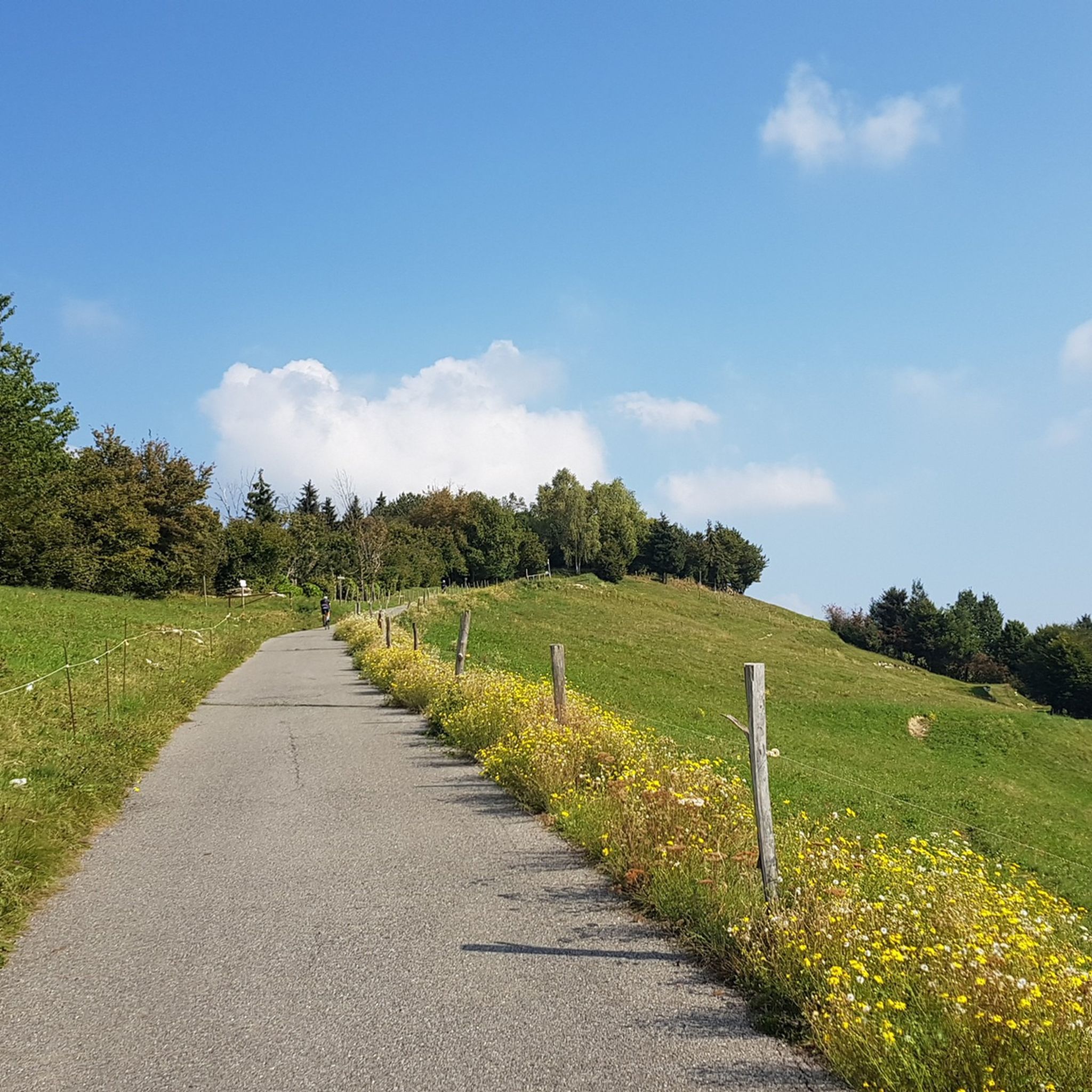
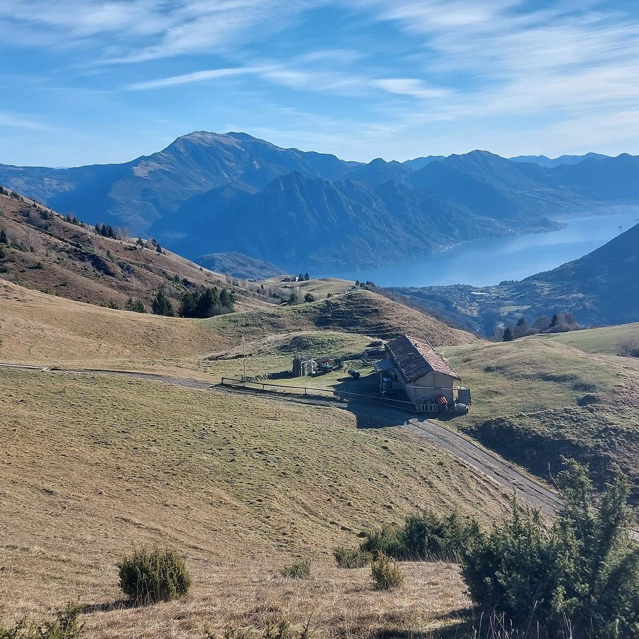
Many think that the summit of Monte Grioni is the belvedere ridge near Maregorda. Which, in truth, is even a few meters lower than the house itself. Therefore, it could not be the summit. The true summit is located, instead, further west-northwest, about 400m as the crow flies. Which is a few tens of meters higher than the belvedere ridge. About half a century ago, the buried metal plinth of the ICM (Military Geographic Institute) was placed on the summit. From this summit, you can enjoy a splendid view of Lake Endine and the Cavallina Valley. East of the summit and slightly below is the small chapel (private property) of Pietà di Grioni.
3
0

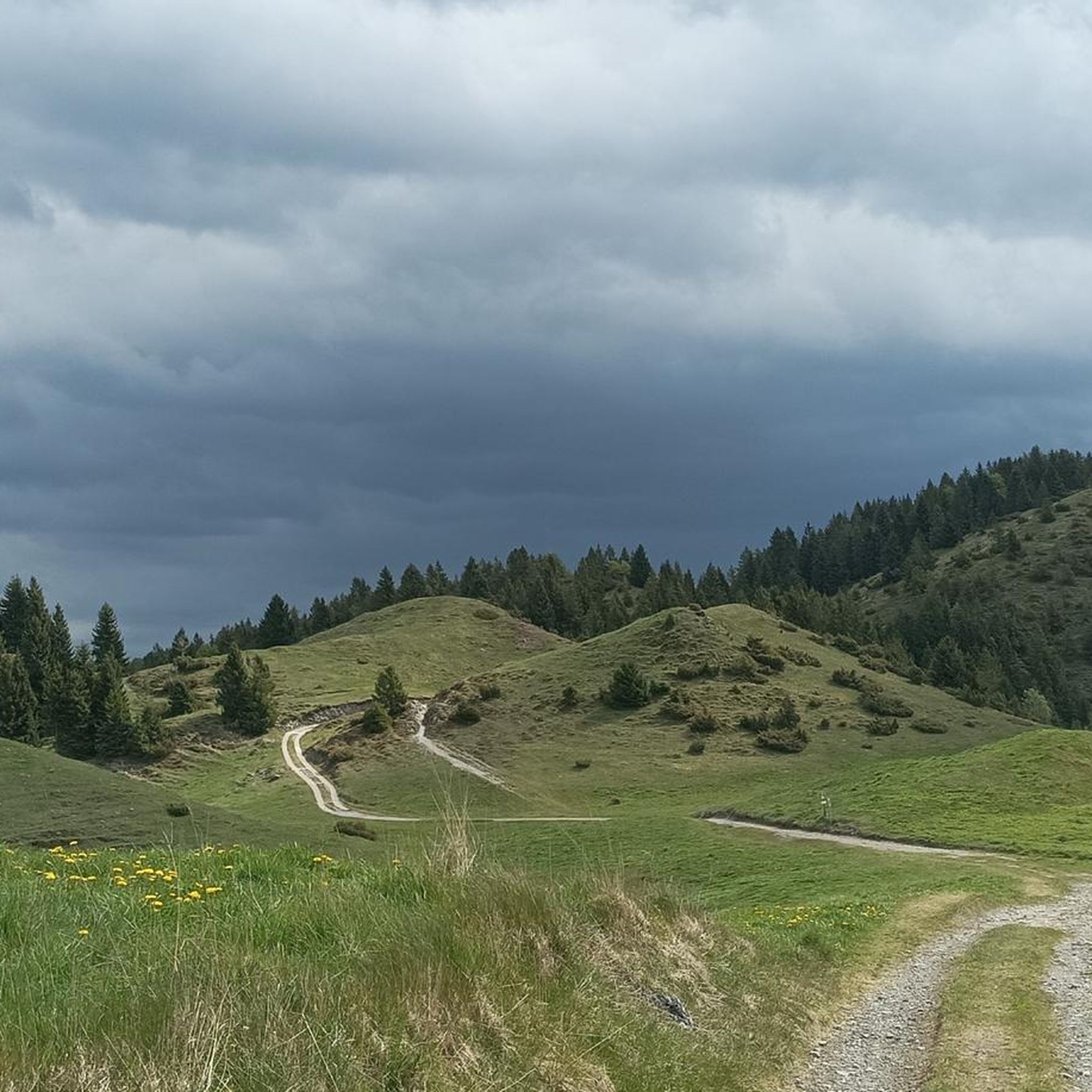
Convenient starting point for reaching various places including Monte Sparavera. The parking lot can accommodate about thirty cars, and along the road about 7/8 more. Remember to get the scratch-off parking permit, available for purchase in the municipalities of Peia or Ranzanico (it is not the same one needed for M.Farno).
0
0

A unique wooden sculpture called "The Bird Fountain" or "Fontana del Tronco," a local artwork tied to nature and local tradition, perfect for those exploring the picturesque Cavallina Valley. This fountain is an example of folk art that blends perfectly with the lakeside landscape, offering a picturesque and photogenic stop.
1
0
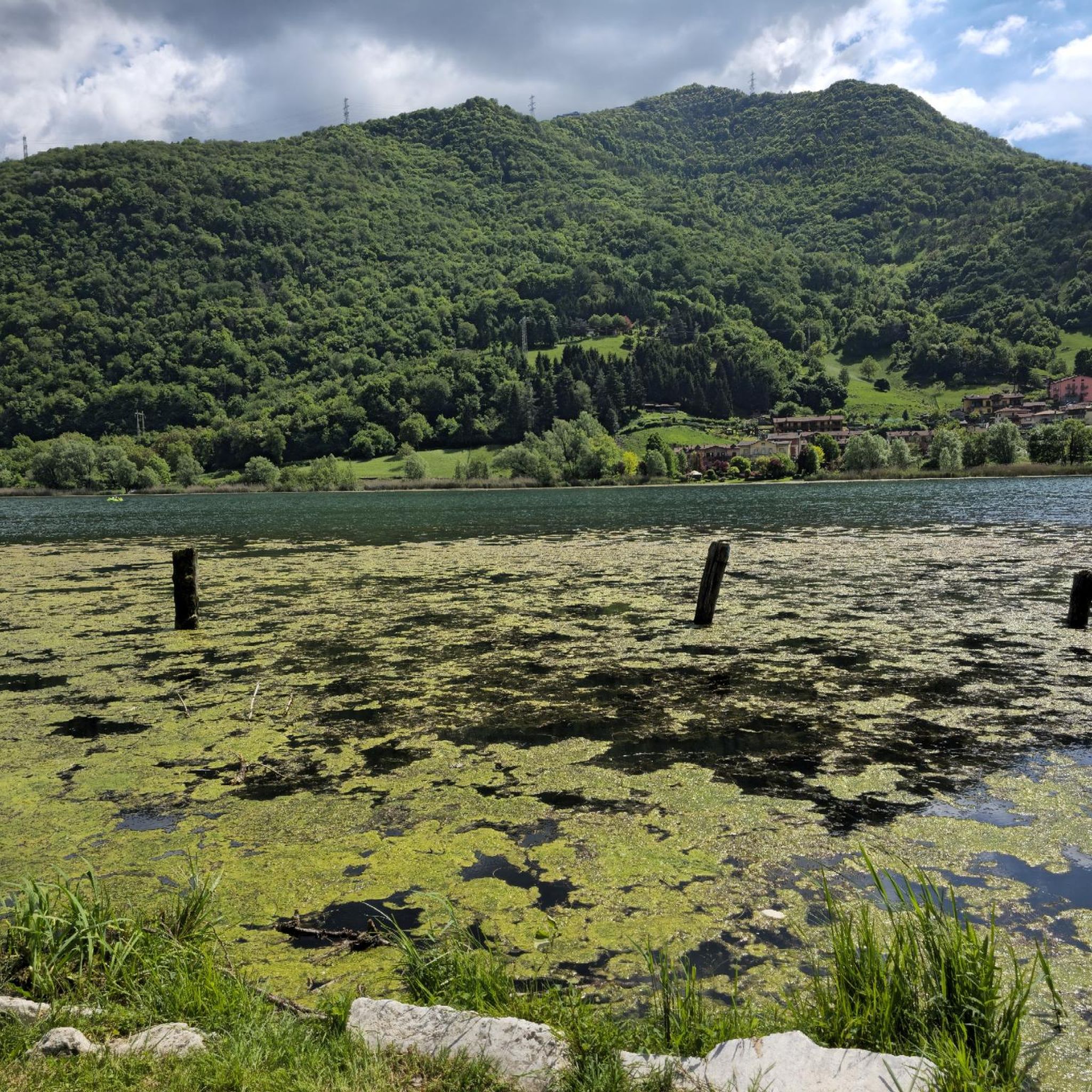
A walk here is synonymous with 360-degree well-being, offering a variety of opportunities for relaxation and physical activity. This enchanting body of water nestled among the hills of Val Cavallina, immersed in pristine nature, offers, among other things, an 18-kilometer walking trail. During a complete tour of the lake, which is entirely flat and therefore easily accessible to anyone, you can enjoy its wonders, including villages, museums, and castles.
0
0

from here the path to Gandino is first quite flowy then becomes more technical with some engraved sections
1
0
from here you enter the pasture on the obvious ramp to climb to the top of the sparavera
0
0

Thanks to Sam Cardell for the explanation otherwise I would never have found it
2
0
if that's a heart......
0
0
Frequently Asked Questions
What kind of hiking trails can I expect around Endine Gaiano?
The Endine Gaiano area offers a diverse range of hiking trails, from serene lakeside paths along Lake Endine to more challenging mountain routes within Val Cavallina and parts of the Bergamo Alps. You'll find a mix of easy strolls, moderate hikes, and demanding treks, catering to various fitness levels. Overall, there are over 25 hiking routes available.
Are there easy hiking trails suitable for beginners or families around Endine Gaiano?
Yes, many trails around Lake Endine are easily accessible and suitable for all skill levels, including beginners and families. These paths are ideal for short hikes and kid-friendly excursions. For a moderate option, consider the Lake Endine – Lake Endine Boardwalk loop from Endine Gaiano, which offers continuous scenic views along the lake's perimeter.
Can I hike around Lake Endine?
Absolutely. Lake Endine is the centerpiece of the region, and its perimeter can be explored on foot. A popular moderate option is the Lake Endine – Lake Endine Boardwalk loop from Endine Gaiano, which is about 14.9 km long and offers continuous scenic views of the dark green waters and surrounding forests.
Are there any circular hiking routes in Endine Gaiano?
Yes, several circular routes are available. Besides the popular lakeside loop, you can explore the Erratic Boulder – Bench with a View of Lake Iseo loop from Riserva Naturale Valle del Freddo. This moderate 11.2 km trail takes you through the unique Valle del Freddo, known for its unusual high-altitude flora.
What natural features or landmarks can I see while hiking around Endine Gaiano?
Hikers can discover a variety of natural features. Lake Endine itself is a highlight, with its lush forests and extensive reed beds. The unique Valle del Freddo natural park, hosting high-altitude flora like edelweiss at low altitudes, is another remarkable spot. You can also enjoy stunning vistas of the Bergamo Alps. Nearby, you might explore the Pyramids of Zone or the Summit of Pizzo Formico.
Are there any trails that feature waterfalls in the Endine Gaiano area?
Yes, the region offers trails with waterfalls. The Val Cavallina Waterfalls Trail to Monte Sicolo (Route 620), mentioned in regional research, is a more challenging option that features waterfalls and views of Lake Iseo.
What do other hikers enjoy the most about hiking in Endine Gaiano?
The hiking trails around Endine Gaiano are highly rated by the komoot community, with an average score of 4.5 stars from over 900 reviews. Hikers often praise the diverse landscapes, the serene beauty of Lake Endine, and the varied terrain that offers options for all ability levels, from easy strolls to demanding treks.
Is Endine Gaiano suitable for dog-friendly hiking?
While specific dog-friendly trails are not explicitly listed in the provided data, the general nature of outdoor trails around Lake Endine and in the surrounding Val Cavallina typically welcomes dogs, especially on leash. It's always advisable to check local regulations for specific areas or natural parks like Valle del Freddo before heading out with your pet.
Are there any historic trails to explore in the region?
Yes, the area boasts historic trails. One notable route is From Ranzanico to Fanovo (via Trail 618). This difficult 15.3 km path winds through ancient hamlets and past medieval churches, offering expansive views of Lake Endine and a glimpse into the region's past.
What is the best time of year to go hiking in Endine Gaiano?
The region is beautiful year-round. The spring and autumn offer pleasant temperatures and vibrant scenery. In winter, Lake Endine often freezes, providing unique opportunities for walking or skating. The diverse flora of Valle del Freddo is also a unique sight, making it interesting across seasons.
Are there any challenging hikes for experienced hikers?
Yes, experienced hikers will find challenging options. The From Ranzanico to Fanovo (via Trail 618) is a difficult 15.3 km trail with significant elevation changes. Another demanding route is the Trail of the Caves, a difficult 13 km hike with substantial ascent and descent, offering a more strenuous experience.
Is public transport available to reach hiking trailheads in Endine Gaiano?
While the region is well-suited for outdoor activities, specific public transport links directly to all trailheads are not detailed. It's generally recommended to check local bus schedules for connections to towns like Endine Gaiano or Spinone al Lago, from where many trails, especially those around Lake Endine, are accessible on foot.
Most popular routes around Endine Gaiano
Most popular attractions around Endine Gaiano

Get inspired with the komoot mobile app


Explore more
Browse the best Hikes in other regions.
